Elevation of Ashley Ct, Berea, KY, USA
Location: United States > Kentucky > Madison County > Berea >
Longitude: -84.260082
Latitude: 37.5971897
Elevation: 309m / 1014feet
Barometric Pressure: 98KPa
Elevation Map:
Satellite Map:
Related Photos:
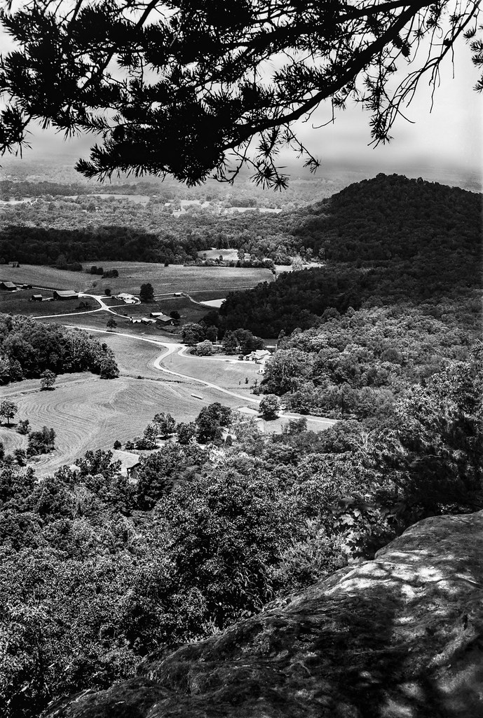
View from Indian Fort

Foggy morning view from Eagle's Nest on Indian Fort Mountain in Berea, KY

West Pinnacle forest trail. Berea , KY

A Road Under a Double Helix in the Clouds

The Sunrise Peeking Through

View north

View west

View from East Pinnacle

Old barn, Richmond Battlefield

Foggy sunrise view from Eagle's Nest on Indian Fort Mountain in Berea, KY

Slave quarters

Something a little different.......

Berea Pinnacles

Stanger 48-3

Foggy sunrise view from Eagle's Nest on Indian Fort Mountain in Berea, KY

Battle of Richmond Kentucky

Battle of Richmond, Kentucky - Eastern Half of Mount Zion Church Battlefield

Windrose Panorama

View of Home Plate Umpire

Battle of Richmond, Kentucky - Charge of the 95th Ohio

Battle of Richmond, Kentucky - Kingston
Anglin Creek below the falls.

Bliss and ReUnion

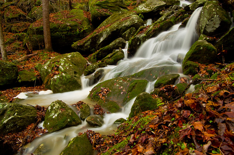
Anglin Falls near Berea, KY

Anglin Falls

Anglin Falls, KY

Lonely Pine on Indian Fort Mountain

Anglin Falls columbines.

Anglin Falls

Fire in the Hole!

IMG_5441.JPG

IMG_5444.JPG

IMG_5443.JPG

IMG_5445.JPG

IMG_5442.JPG

Views like this are why I love #driving #backroads here in #Kentucky #horses

IMG_5440.JPG

IMG_5431.JPG
Topographic Map of Ashley Ct, Berea, KY, USA
Find elevation by address:

Places near Ashley Ct, Berea, KY, USA:
Ridgeview Drive
336 Ridgeview Dr
501 Oak Grove Ct
1 Pirate Pkwy
The Pinnacle
Indian Fort Mountain
104 Henry Dr
Berea
Chestnut St, Berea, KY, USA
414 Chestnut St
1005 Whipporwill Dr
824 S Dogwood Dr
Guynn Rd, Paint Lick, KY, USA
107-101
Climax Brushcreek Road
Climax Brushcreek Road
Climax Brushcreek Road
Climax Brushcreek Road
2392 Davis Branch Rd
2392 Davis Branch Rd
Recent Searches:
- Elevation of Corso Fratelli Cairoli, 35, Macerata MC, Italy
- Elevation of Tallevast Rd, Sarasota, FL, USA
- Elevation of 4th St E, Sonoma, CA, USA
- Elevation of Black Hollow Rd, Pennsdale, PA, USA
- Elevation of Oakland Ave, Williamsport, PA, USA
- Elevation of Pedrógão Grande, Portugal
- Elevation of Klee Dr, Martinsburg, WV, USA
- Elevation of Via Roma, Pieranica CR, Italy
- Elevation of Tavkvetili Mountain, Georgia
- Elevation of Hartfords Bluff Cir, Mt Pleasant, SC, USA