Elevation of Davis Branch Rd, Mt Vernon, KY, USA
Location: United States > Kentucky > Rockcastle County > Mount Vernon >
Longitude: -84.257924
Latitude: 37.4863525
Elevation: 321m / 1053feet
Barometric Pressure: 98KPa
Elevation Map:
Satellite Map:
Related Photos:

Foggy morning view from Eagle's Nest on Indian Fort Mountain in Berea, KY

West Pinnacle forest trail. Berea , KY

Foggy sunrise view from Eagle's Nest on Indian Fort Mountain in Berea, KY

Something a little different.......

Berea Pinnacles

Mmmm...Cookies!

Stanger 48-3

Foggy sunrise view from Eagle's Nest on Indian Fort Mountain in Berea, KY

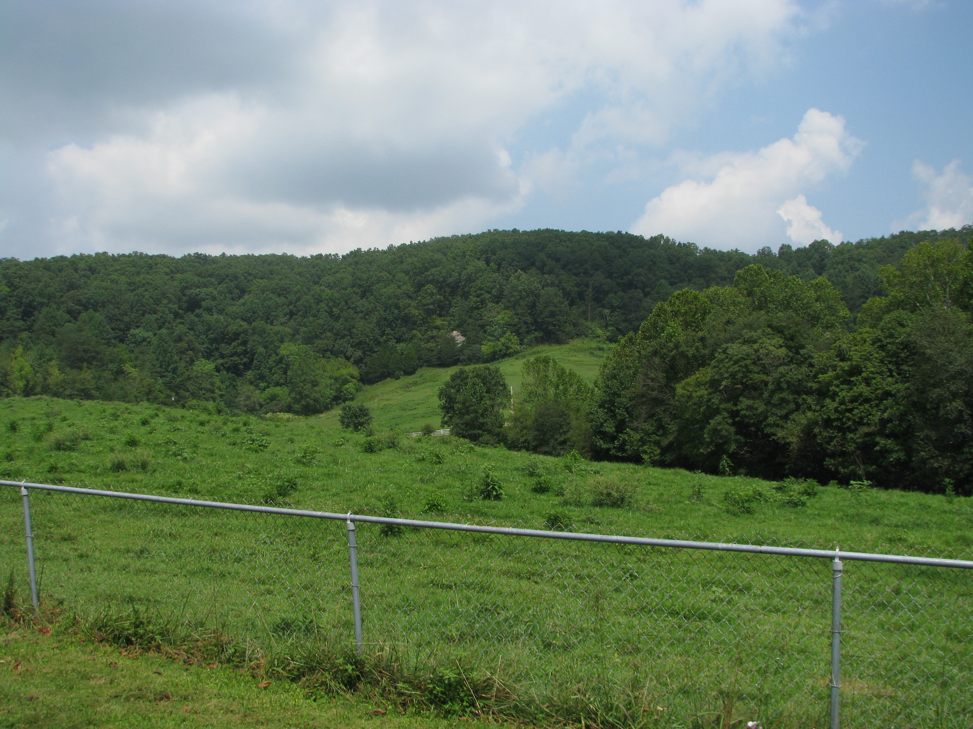
Fall Colors in the Fields of Rockcastle County

A Road Under a Double Helix in the Clouds

Windrose Panorama

The Sunrise Peeking Through

IMG_5431.JPG

IMG_5430.JPG

IMG_5434.JPG
The Rock

IMG_5420.JPG

IMG_5433.JPG

IMG_5429.JPG

IMG_5425.JPG
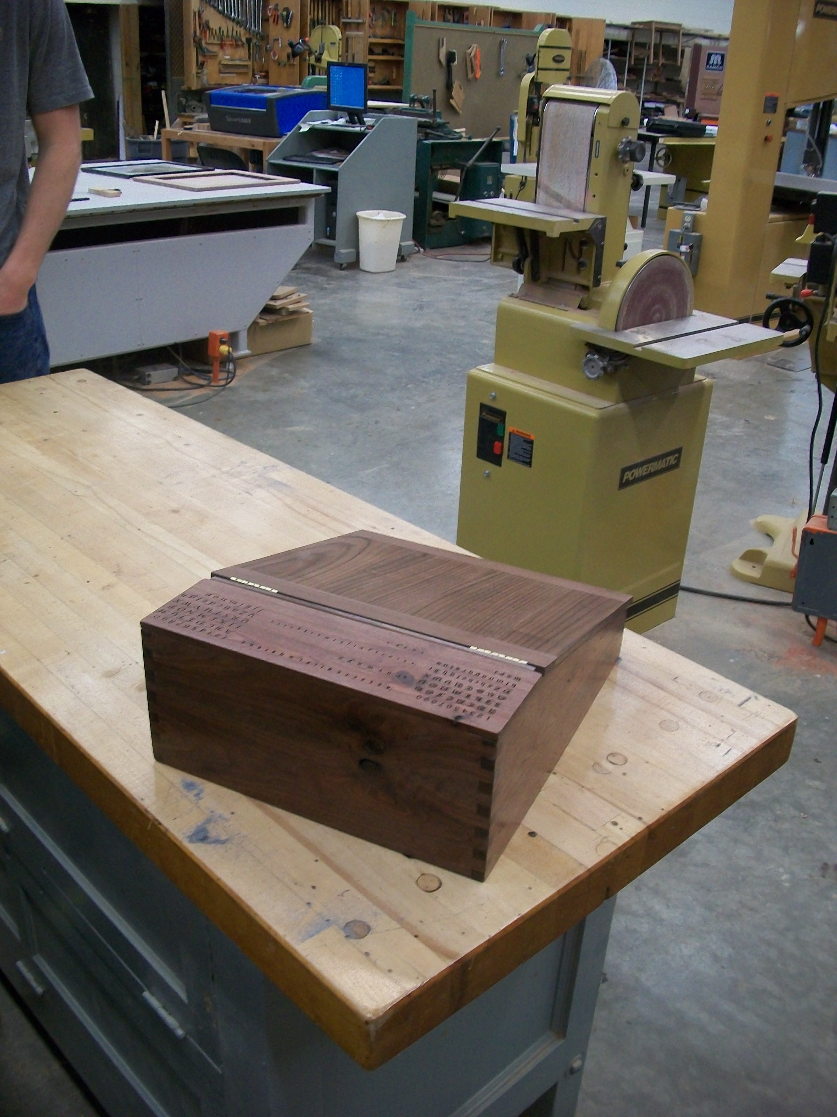
Portable desk back view

Bliss and ReUnion

Anglin Falls

Lake Linville at dusk

Autumn, Berea Forest

IMG_5423.JPG

IMG_5422.JPG
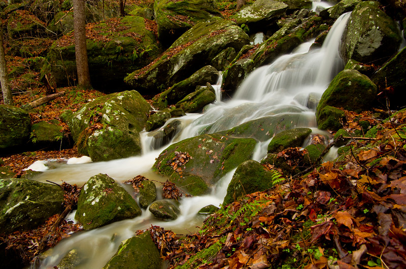
Anglin Creek below the falls.

Anglin Falls near Berea, KY

From Indian Fort Mountain at Eagle's Nest.

Sunrise over the Eastern Kentucky hills.

Anglin Falls
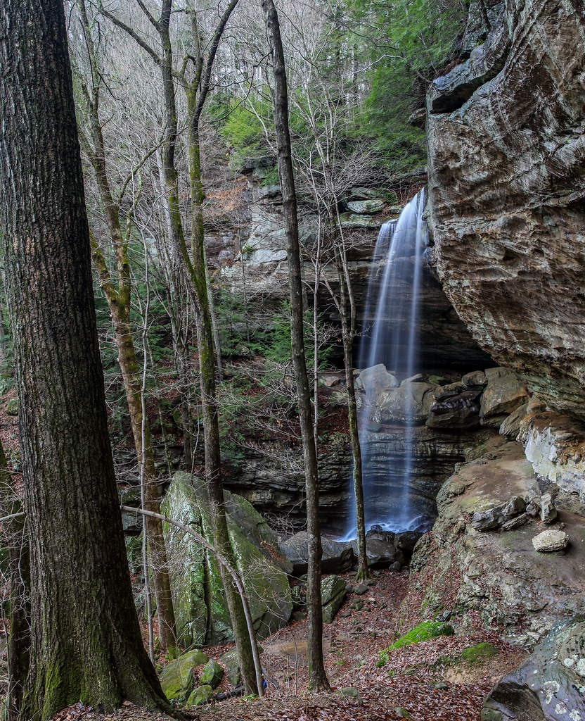
Anglin Falls

@ the top of Anglin Falls in the Fall.
Topographic Map of Davis Branch Rd, Mt Vernon, KY, USA
Find elevation by address:

Places near Davis Branch Rd, Mt Vernon, KY, USA:
2392 Davis Branch Rd
Climax Brushcreek Road
Climax Brushcreek Road
Climax Brushcreek Road
Climax Brushcreek Road
107-101
Conway
Indian Fort Mountain
824 S Dogwood Dr
Chestnut St, Berea, KY, USA
Berea
The Pinnacle
414 Chestnut St
501 Oak Grove Ct
1 Pirate Pkwy
104 Henry Dr
560 Ashley Ct
Ridgeview Drive
336 Ridgeview Dr
20 Harrison Rd
Recent Searches:
- Elevation of Corso Fratelli Cairoli, 35, Macerata MC, Italy
- Elevation of Tallevast Rd, Sarasota, FL, USA
- Elevation of 4th St E, Sonoma, CA, USA
- Elevation of Black Hollow Rd, Pennsdale, PA, USA
- Elevation of Oakland Ave, Williamsport, PA, USA
- Elevation of Pedrógão Grande, Portugal
- Elevation of Klee Dr, Martinsburg, WV, USA
- Elevation of Via Roma, Pieranica CR, Italy
- Elevation of Tavkvetili Mountain, Georgia
- Elevation of Hartfords Bluff Cir, Mt Pleasant, SC, USA