Elevation of Rockcastle County, KY, USA
Location: United States > Kentucky >
Longitude: -84.312126
Latitude: 37.3743065
Elevation: 425m / 1394feet
Barometric Pressure: 96KPa
Elevation Map:
Satellite Map:
Related Photos:
The Rock
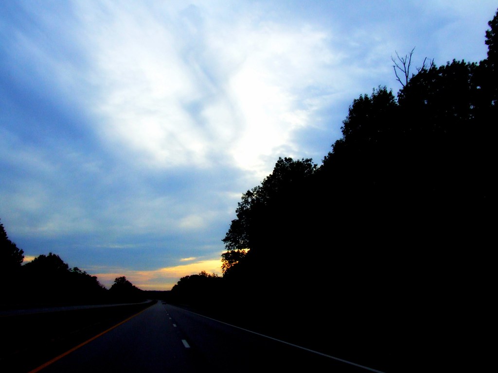
A Road Under a Double Helix in the Clouds

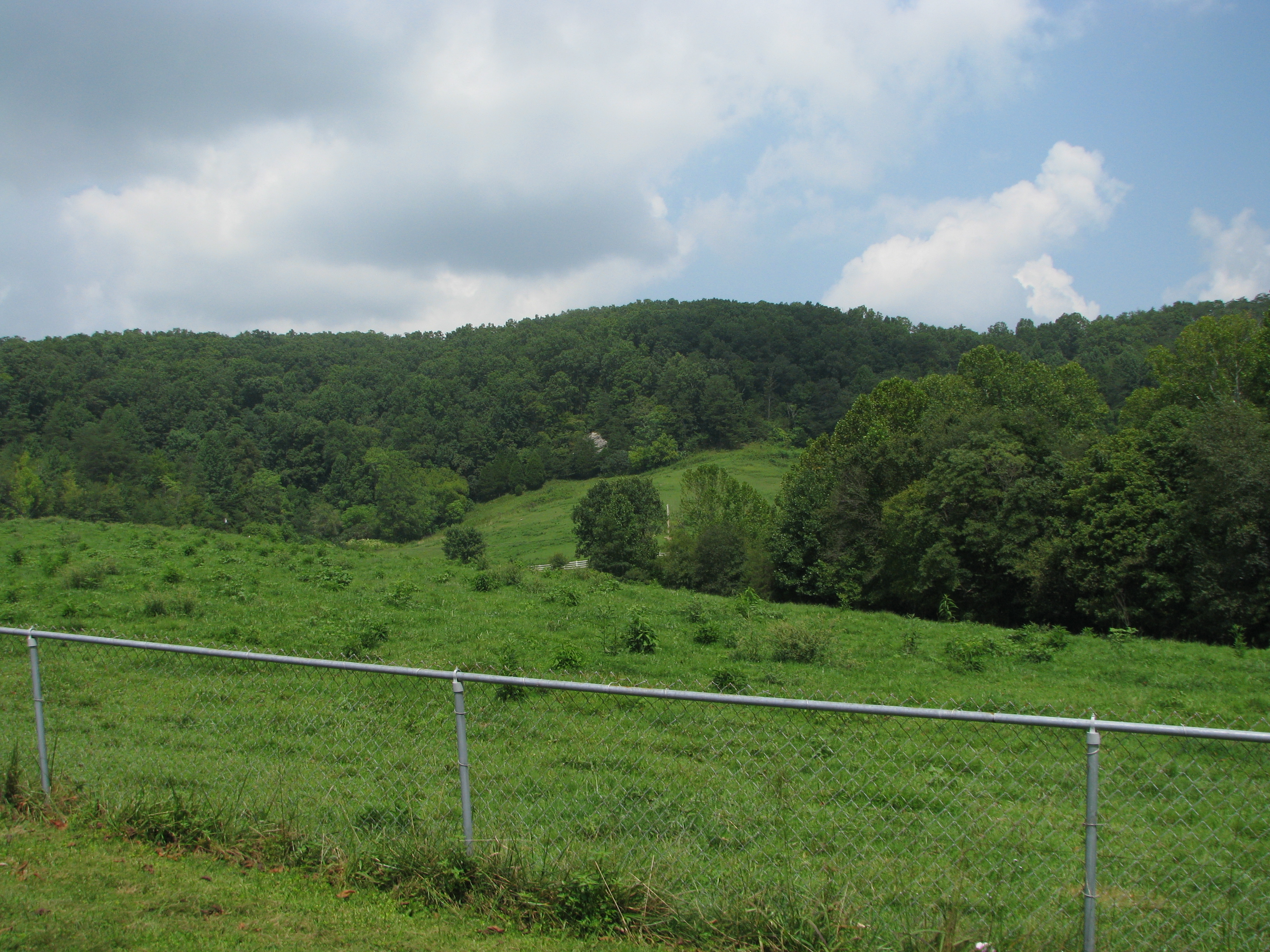
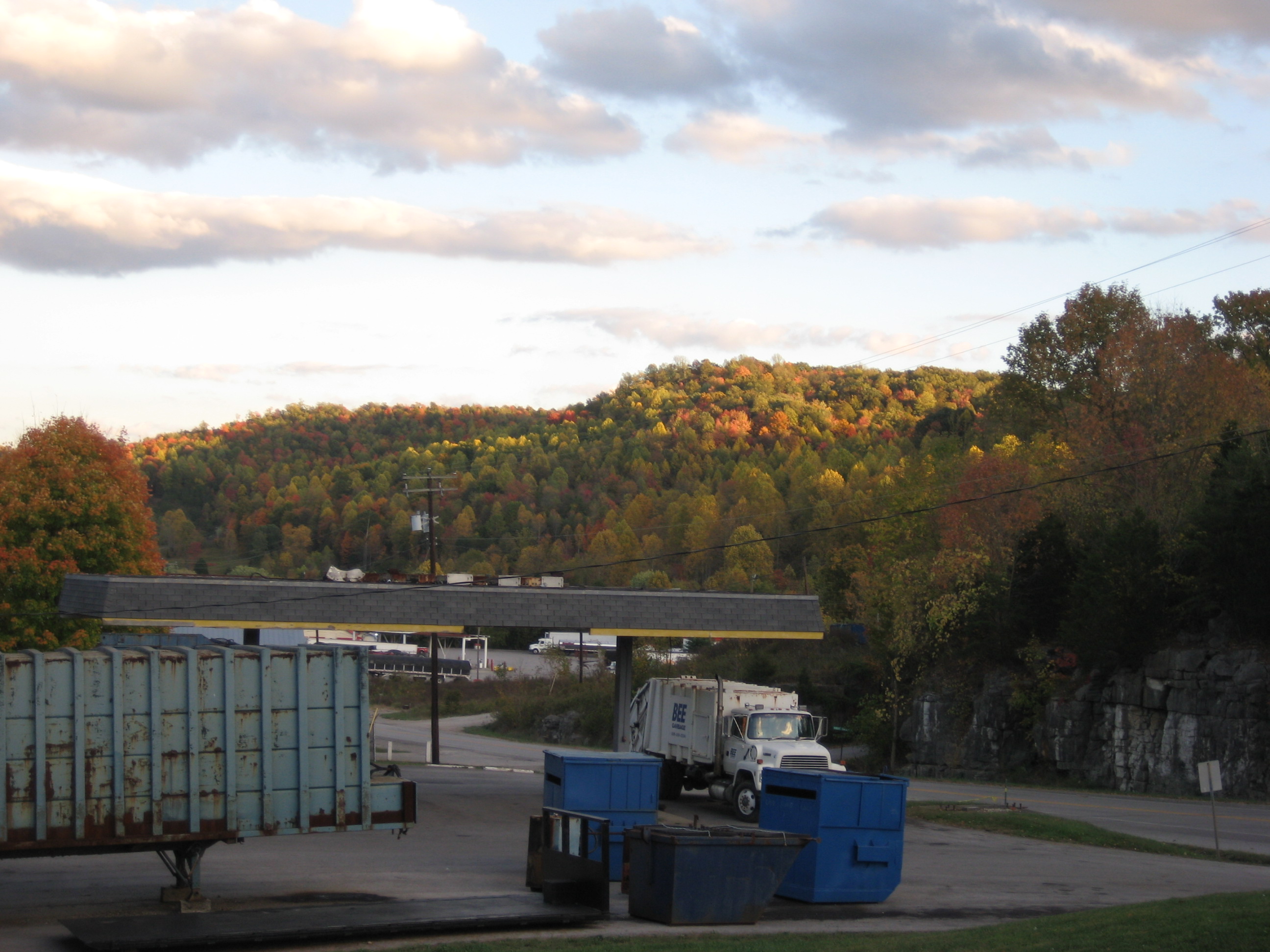
Fall Colors in the Fields of Rockcastle County
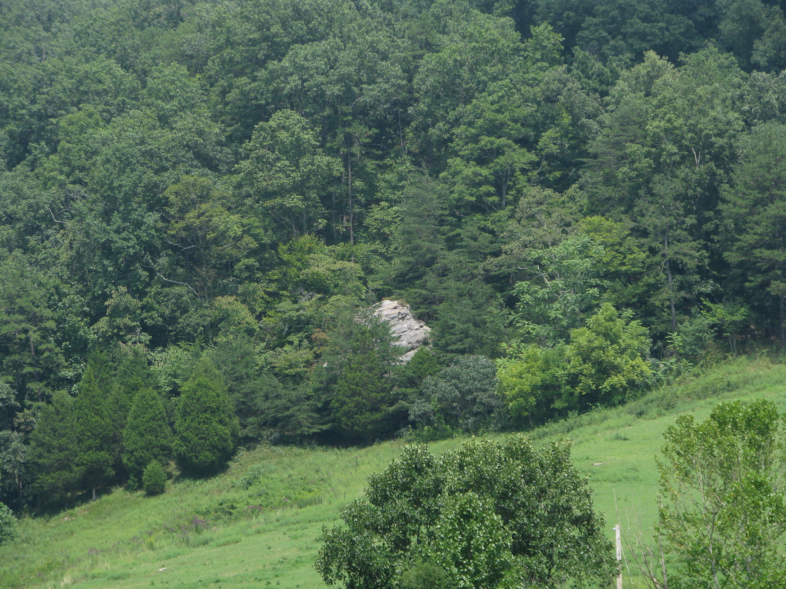
The Rock

Lake Linville at dusk
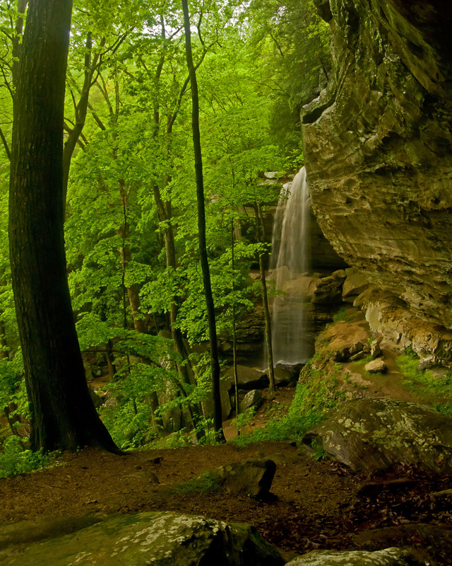
Anglin Falls, KY
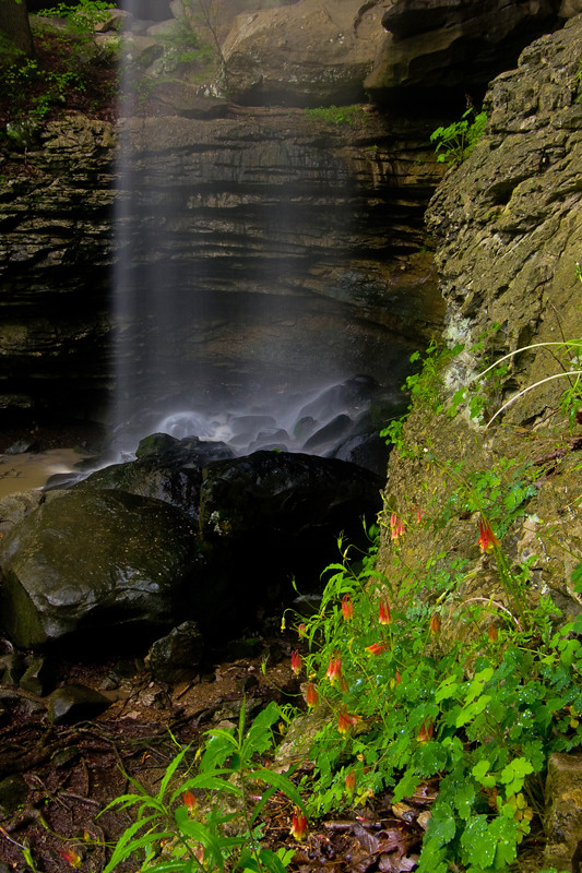
Anglin Falls columbines.

Picture 084
Autumn in KY is beautiful!

fields of Harvests colors
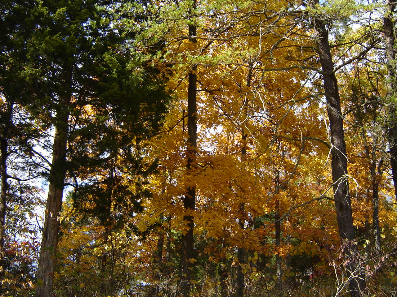
Fall is still here :-)
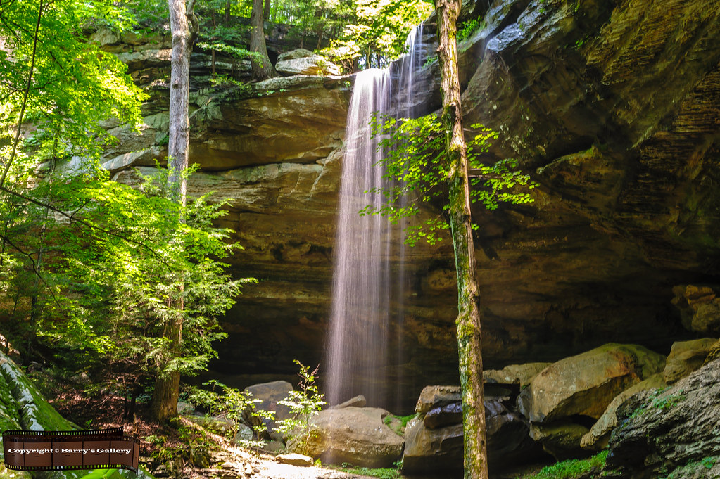
Anglin Falls
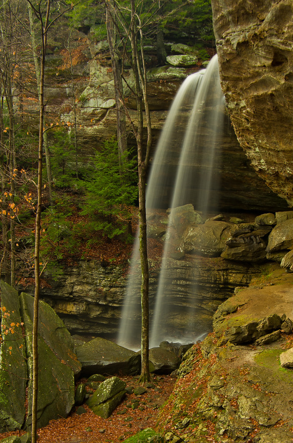
Anglin Falls near Berea, KY

Anglin Falls
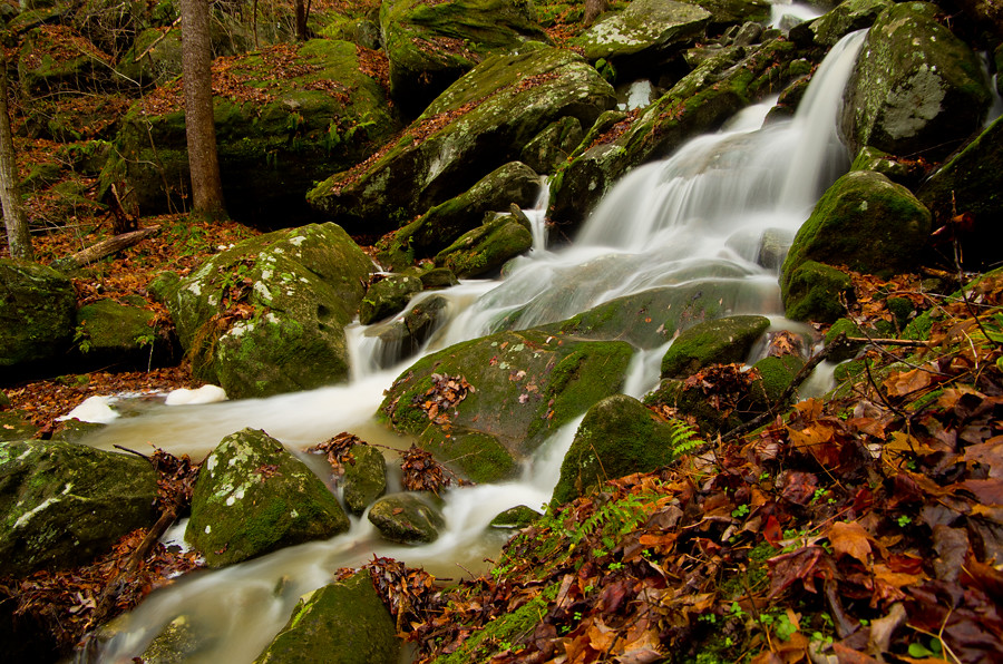
Anglin Creek below the falls.
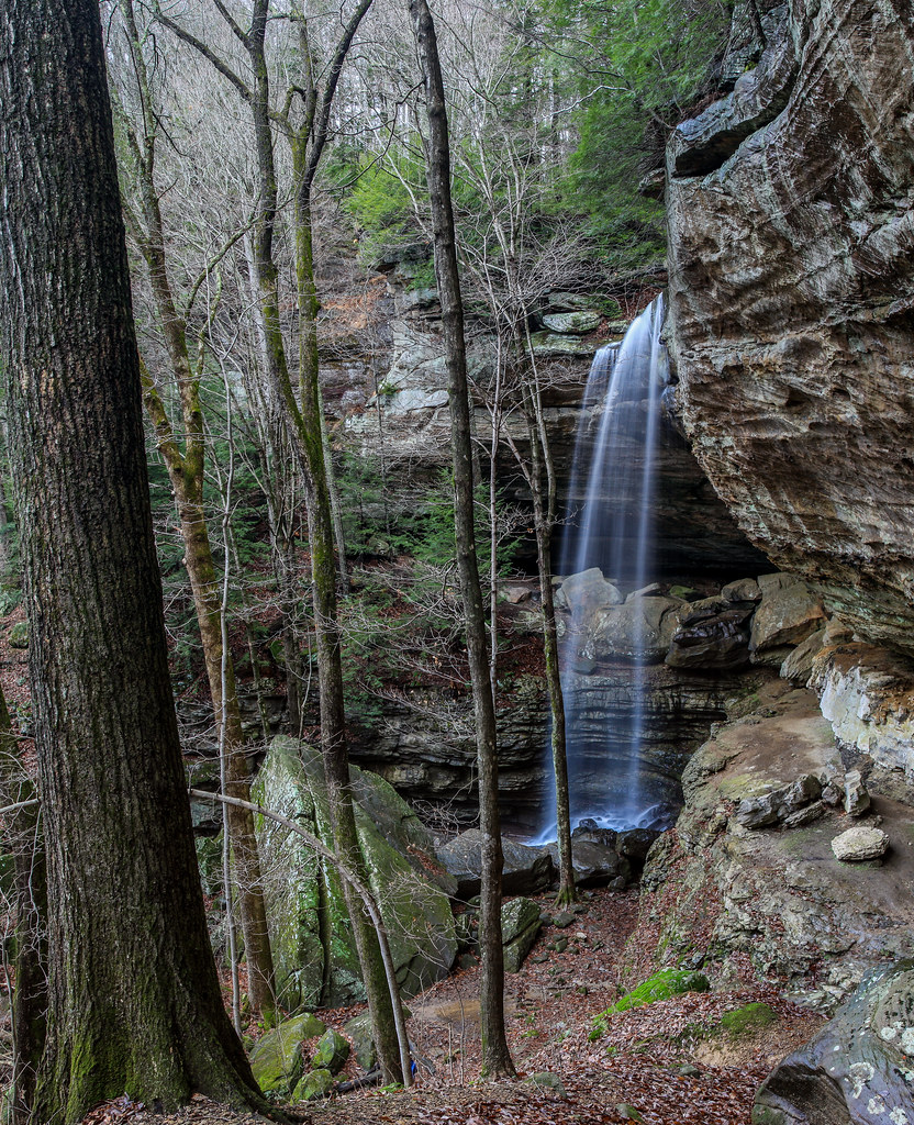
Anglin Falls
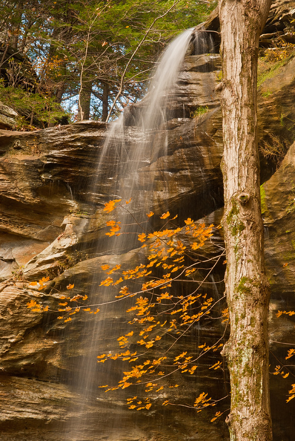
@ the top of Anglin Falls in the Fall.
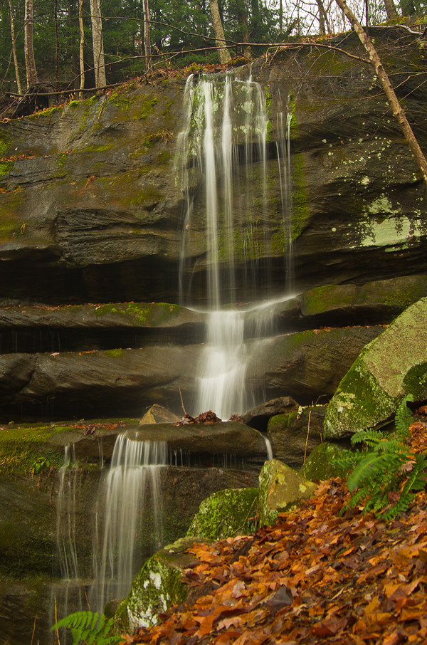
Anglin Falls one more....

Just a little 24 inch'er....
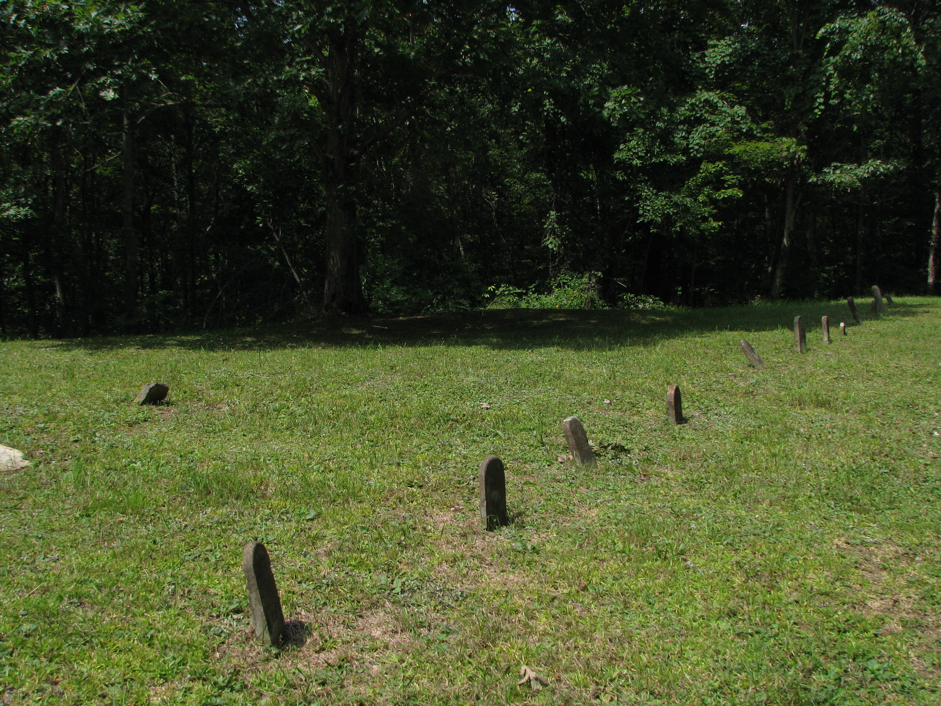
14 Graves for the Jennings Children

Anglin Falls, Kentucky

near Climax Water Co
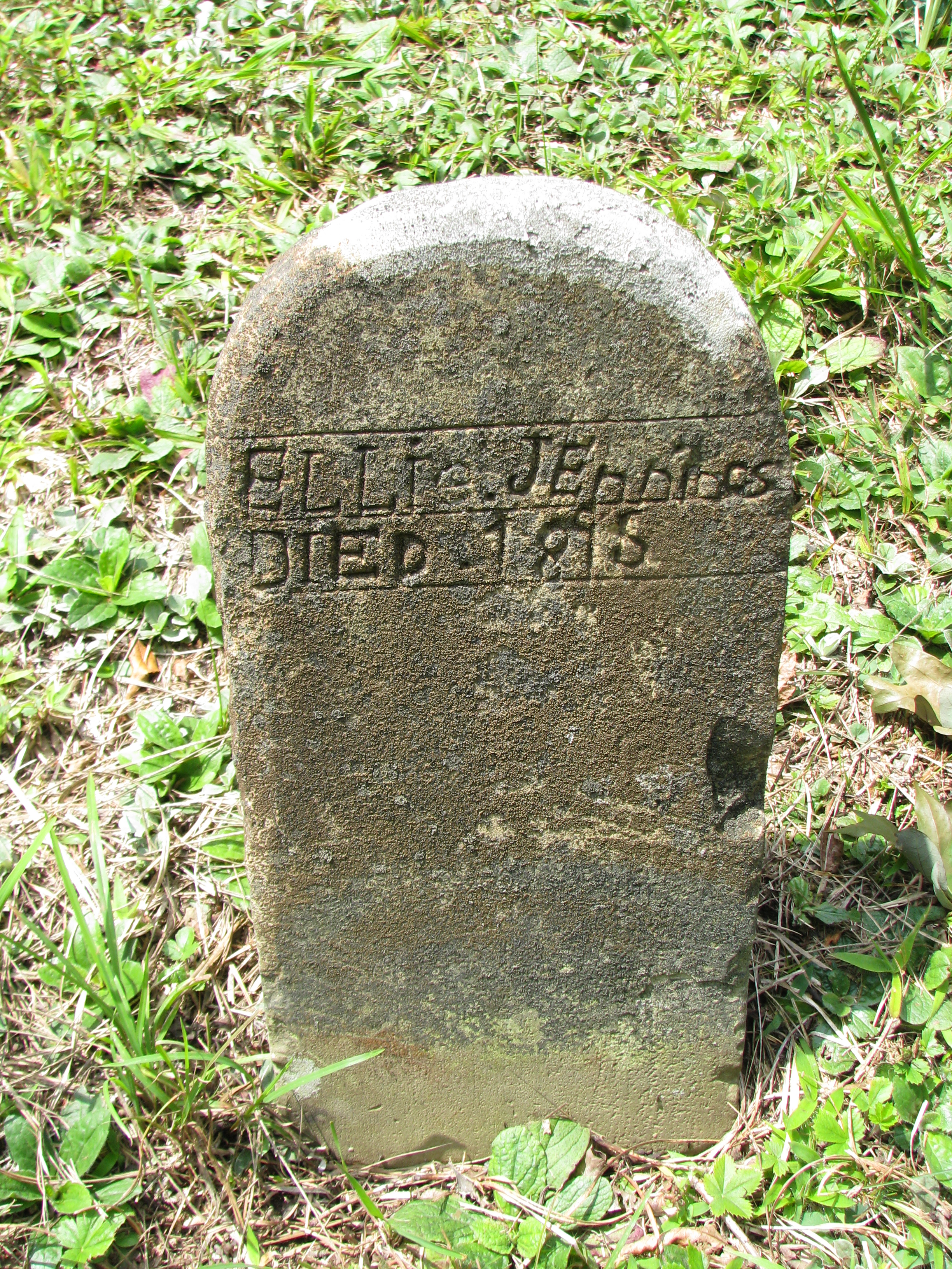
Ellie Jennings
Topographic Map of Rockcastle County, KY, USA
Find elevation by address:

Places in Rockcastle County, KY, USA:
Places near Rockcastle County, KY, USA:
Mount Vernon
667 Barnett Rd
Conway
2392 Davis Branch Rd
2392 Davis Branch Rd
Climax Brushcreek Road
Climax Brushcreek Road
Climax Brushcreek Road
Climax Brushcreek Road
824 S Dogwood Dr
107-101
414 Chestnut St
Chestnut St, Berea, KY, USA
Berea
The Pinnacle
Guynn Rd, Paint Lick, KY, USA
Indian Fort Mountain
1 Pirate Pkwy
104 Henry Dr
501 Oak Grove Ct
Recent Searches:
- Elevation of Corso Fratelli Cairoli, 35, Macerata MC, Italy
- Elevation of Tallevast Rd, Sarasota, FL, USA
- Elevation of 4th St E, Sonoma, CA, USA
- Elevation of Black Hollow Rd, Pennsdale, PA, USA
- Elevation of Oakland Ave, Williamsport, PA, USA
- Elevation of Pedrógão Grande, Portugal
- Elevation of Klee Dr, Martinsburg, WV, USA
- Elevation of Via Roma, Pieranica CR, Italy
- Elevation of Tavkvetili Mountain, Georgia
- Elevation of Hartfords Bluff Cir, Mt Pleasant, SC, USA