Elevation of Davis Branch Rd, Mt Vernon, KY, USA
Location: United States > Kentucky > Rockcastle County > Mount Vernon >
Longitude: -84.257924
Latitude: 37.4863525
Elevation: 321m / 1053feet
Barometric Pressure: 98KPa
Elevation Map:
Satellite Map:
Related Photos:

Foggy morning view from Eagle's Nest on Indian Fort Mountain in Berea, KY

West Pinnacle forest trail. Berea , KY

Foggy sunrise view from Eagle's Nest on Indian Fort Mountain in Berea, KY

Something a little different.......

Berea Pinnacles

Mmmm...Cookies!

Stanger 48-3

Foggy sunrise view from Eagle's Nest on Indian Fort Mountain in Berea, KY

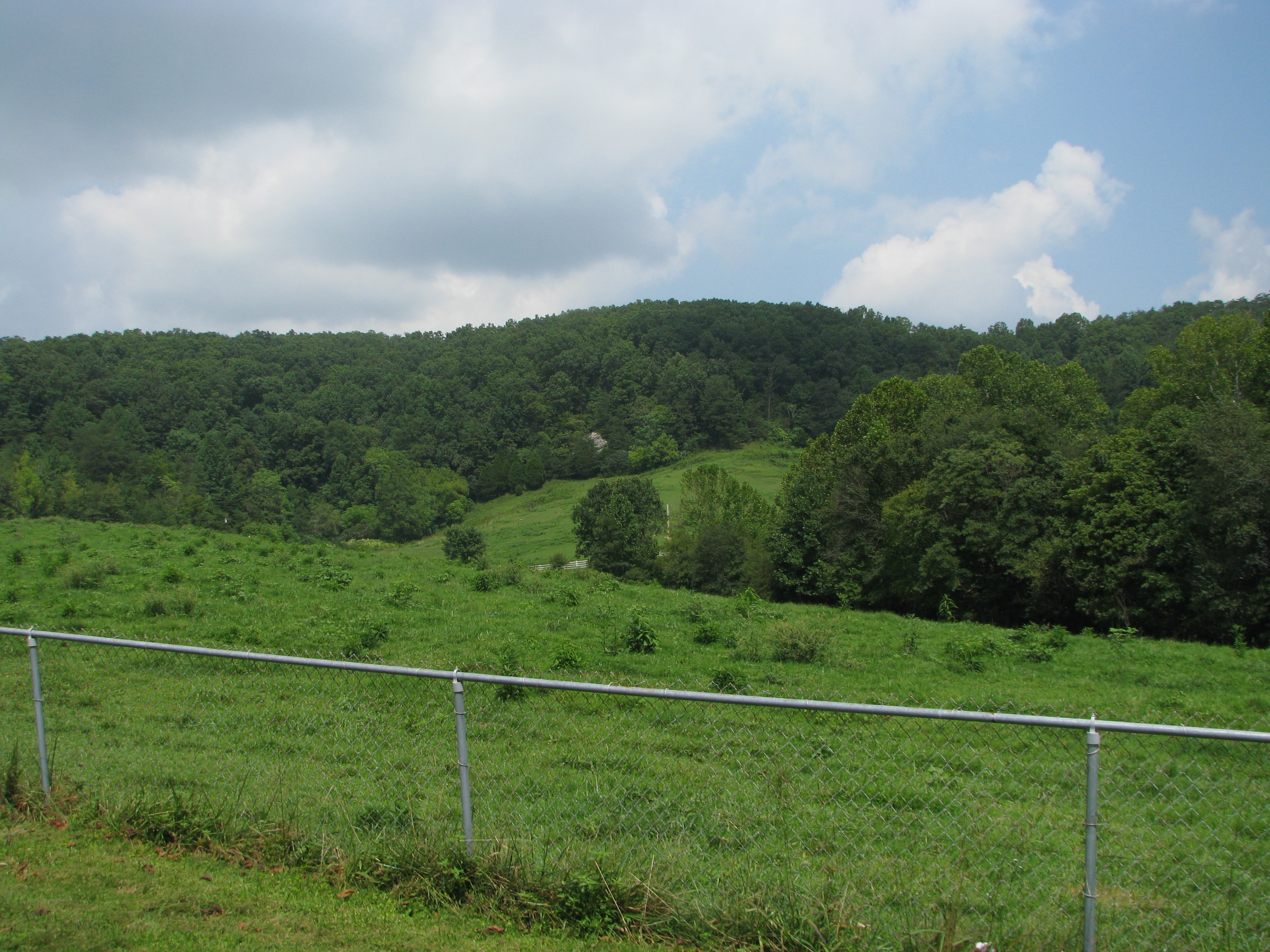
Fall Colors in the Fields of Rockcastle County

A Road Under a Double Helix in the Clouds

Windrose Panorama

The Sunrise Peeking Through

IMG_5431.JPG

IMG_5430.JPG

IMG_5434.JPG
The Rock

IMG_5420.JPG

IMG_5433.JPG

IMG_5429.JPG

IMG_5425.JPG
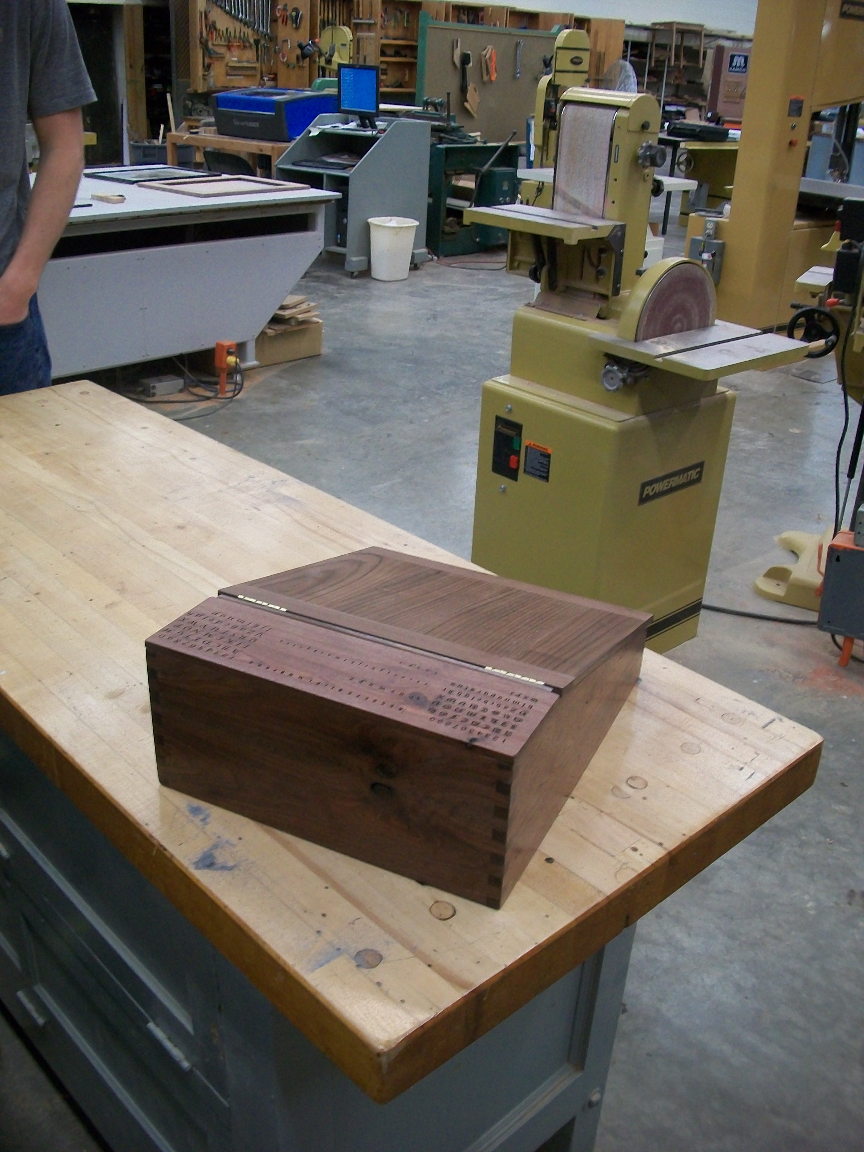
Portable desk back view
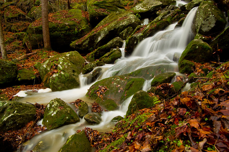
Anglin Creek below the falls.

Bliss and ReUnion

Anglin Falls near Berea, KY

From Indian Fort Mountain at Eagle's Nest.

Sunrise over the Eastern Kentucky hills.

Anglin Falls
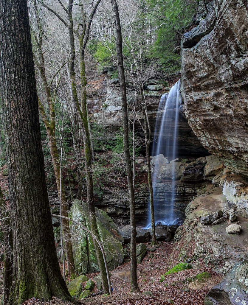
Anglin Falls

@ the top of Anglin Falls in the Fall.

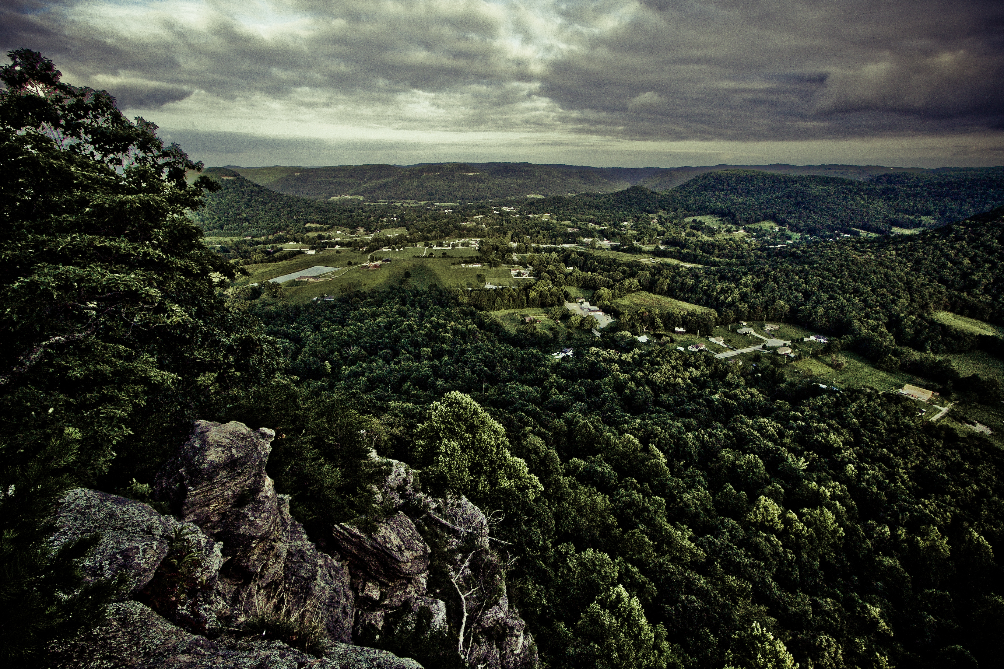
Golden hour from the edge of the Cumberland Plateau
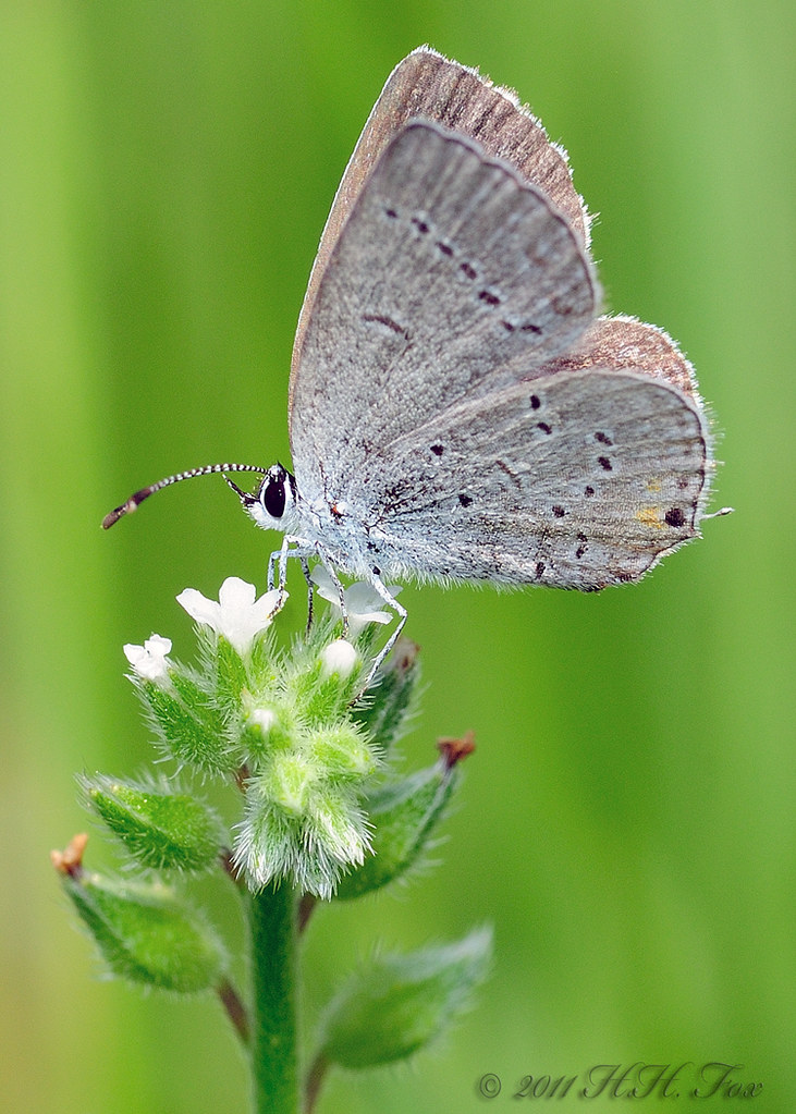
Spring Azure

Lone tower, fiery sky

Anglin Falls, KY

Lonely Pine on Indian Fort Mountain

Anglin Falls columbines.

Anglin Falls

Anglin Falls one more....
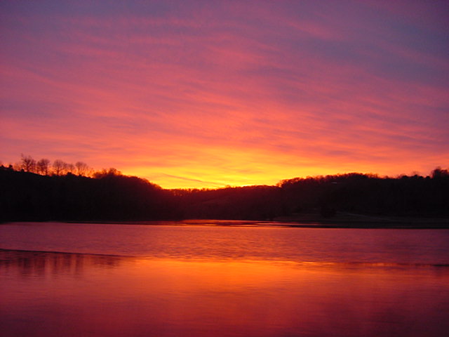
Lake Linville at dusk
Tres Palabras

Autumn Woods
Topographic Map of Davis Branch Rd, Mt Vernon, KY, USA
Find elevation by address:

Places near Davis Branch Rd, Mt Vernon, KY, USA:
2392 Davis Branch Rd
Climax Brushcreek Road
Climax Brushcreek Road
Climax Brushcreek Road
Climax Brushcreek Road
107-101
Conway
Indian Fort Mountain
824 S Dogwood Dr
Chestnut St, Berea, KY, USA
Berea
The Pinnacle
414 Chestnut St
501 Oak Grove Ct
1 Pirate Pkwy
104 Henry Dr
560 Ashley Ct
Ridgeview Drive
336 Ridgeview Dr
20 Harrison Rd
Recent Searches:
- Elevation of Corso Fratelli Cairoli, 35, Macerata MC, Italy
- Elevation of Tallevast Rd, Sarasota, FL, USA
- Elevation of 4th St E, Sonoma, CA, USA
- Elevation of Black Hollow Rd, Pennsdale, PA, USA
- Elevation of Oakland Ave, Williamsport, PA, USA
- Elevation of Pedrógão Grande, Portugal
- Elevation of Klee Dr, Martinsburg, WV, USA
- Elevation of Via Roma, Pieranica CR, Italy
- Elevation of Tavkvetili Mountain, Georgia
- Elevation of Hartfords Bluff Cir, Mt Pleasant, SC, USA