Elevation of Hisel-Blanton Flats Road, Hisel-Blanton Flats Rd, Irvine, KY, USA
Location: United States > Kentucky > Estill County > Irvine >
Longitude: -83.984069
Latitude: 37.5704579
Elevation: 424m / 1391feet
Barometric Pressure: 96KPa
Elevation Map:
Satellite Map:
Related Photos:

IMG_5469.JPG

IMG_5460.JPG

IMG_5465.JPG

IMG_5441.JPG

IMG_5454.JPG

IMG_5444.JPG

IMG_5455.JPG

IMG_5447.JPG

IMG_5443.JPG

IMG_5445.JPG

IMG_5442.JPG

IMG_5440.JPG

snowy scene

Kudzu Railroad

Boredom 2

Alcorn Falls.

War Fork Creek

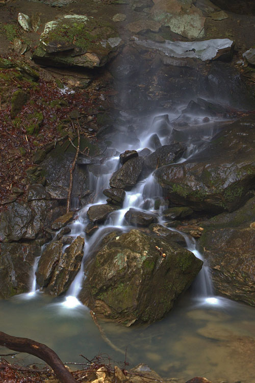
Small waterfall near Alcorn Falls

Lynch Town School ...... not

The approach of Alcorn Falls

Alcorn Branch Falls, KY

Alcorn Branch Falls , KY
Alcorn Branch Falls, KY
Topographic Map of Hisel-Blanton Flats Road, Hisel-Blanton Flats Rd, Irvine, KY, USA
Find elevation by address:

Places near Hisel-Blanton Flats Road, Hisel-Blanton Flats Rd, Irvine, KY, USA:
9015 Mckee Rd
595-599
Sand Lick Road
Alumbaugh
Kissey Branch Rd, Irvine, KY, USA
Barnes Mountain Road
165 Sugar Hollow Road
1000 Round Mountain Rd
1265 South Irvine Road
1005 Round Mountain Rd
Wisemantown
Ravenna
Wisemantown Road
518 3rd St
337 Broadway St
Estill County
Irvine
626 N Madison Ave
Quail Run Estates
503 Laurel St
Recent Searches:
- Elevation of Corso Fratelli Cairoli, 35, Macerata MC, Italy
- Elevation of Tallevast Rd, Sarasota, FL, USA
- Elevation of 4th St E, Sonoma, CA, USA
- Elevation of Black Hollow Rd, Pennsdale, PA, USA
- Elevation of Oakland Ave, Williamsport, PA, USA
- Elevation of Pedrógão Grande, Portugal
- Elevation of Klee Dr, Martinsburg, WV, USA
- Elevation of Via Roma, Pieranica CR, Italy
- Elevation of Tavkvetili Mountain, Georgia
- Elevation of Hartfords Bluff Cir, Mt Pleasant, SC, USA