Elevation of Ravenna, KY, USA
Location: United States > Kentucky > Estill County >
Longitude: -83.952979
Latitude: 37.6845272
Elevation: 196m / 643feet
Barometric Pressure: 99KPa
Elevation Map:
Satellite Map:
Related Photos:

County Wall

snowy scene
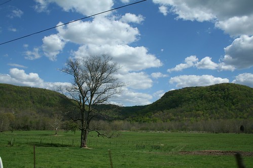
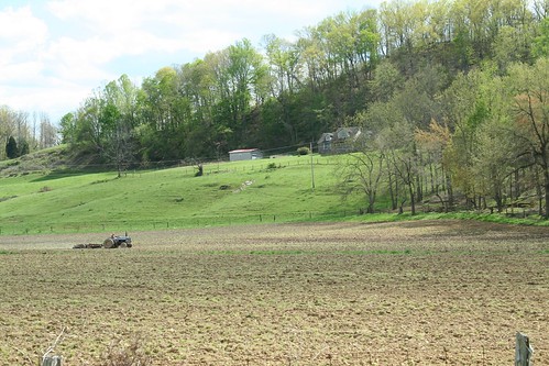
IMG_5447.JPG
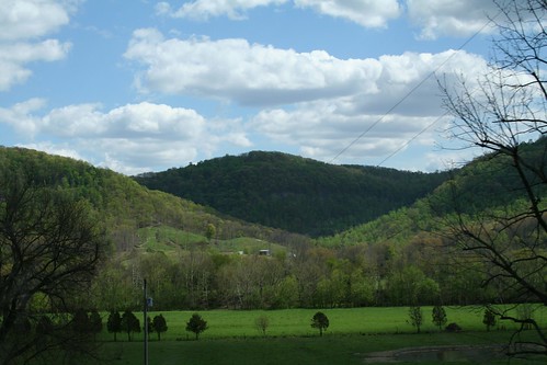
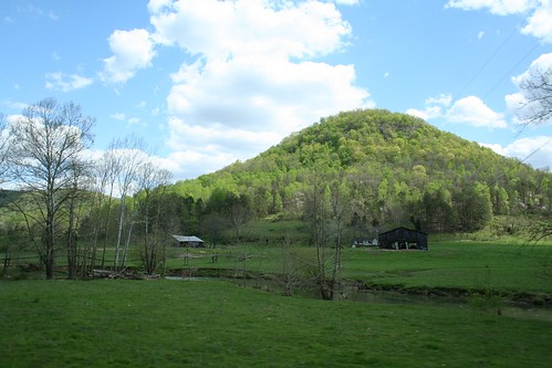
IMG_5460.JPG
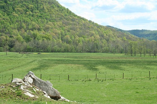
IMG_5465.JPG
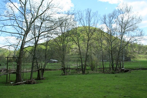
IMG_5455.JPG
IMG_5469.JPG

Kudzu Railroad
IMG_5454.JPG
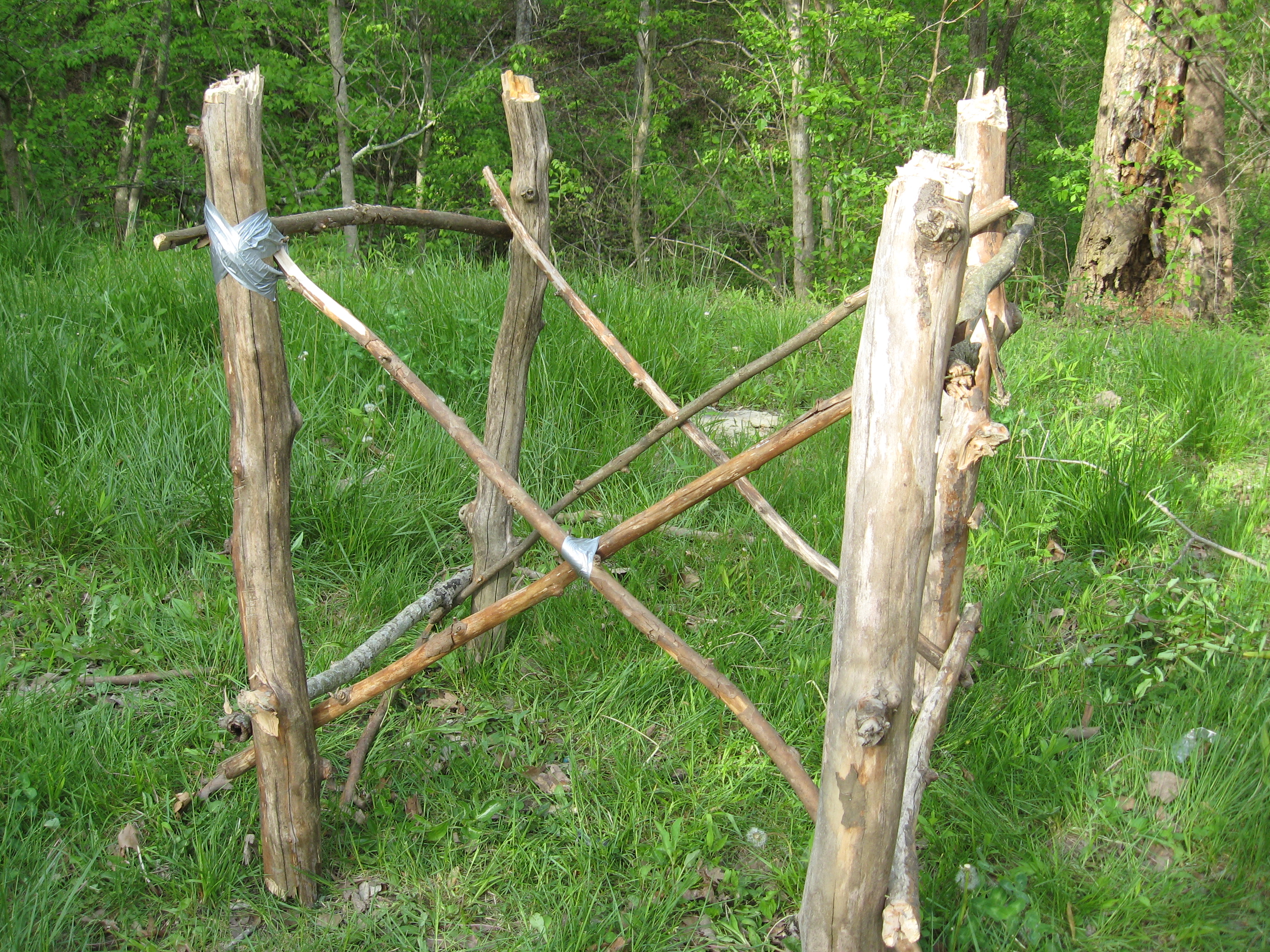
Boredom 2

St George's Day 2013
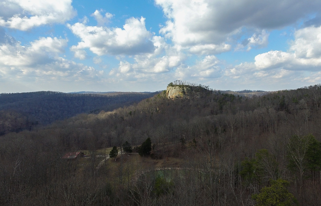
State Rock
Lynch Town School ...... not
Topographic Map of Ravenna, KY, USA
Find elevation by address:

Places in Ravenna, KY, USA:
Places near Ravenna, KY, USA:
518 3rd St
337 Broadway St
626 N Madison Ave
165 Sugar Hollow Road
Estill County
Irvine
1265 South Irvine Road
503 Laurel St
225 Clearview Rd
Winchester Rd, Irvine, KY, USA
1 White Oak Rd
Wisemantown
Wagers Mountain Road
365 Sand Hill Rd
365 Shelton Rd
Barnes Mountain Road
1200 Witt Ridge Rd
Tipton Ridge Road
Furnace Junction Road
Fitchburg Rd, Ravenna, KY, USA
Recent Searches:
- Elevation of Corso Fratelli Cairoli, 35, Macerata MC, Italy
- Elevation of Tallevast Rd, Sarasota, FL, USA
- Elevation of 4th St E, Sonoma, CA, USA
- Elevation of Black Hollow Rd, Pennsdale, PA, USA
- Elevation of Oakland Ave, Williamsport, PA, USA
- Elevation of Pedrógão Grande, Portugal
- Elevation of Klee Dr, Martinsburg, WV, USA
- Elevation of Via Roma, Pieranica CR, Italy
- Elevation of Tavkvetili Mountain, Georgia
- Elevation of Hartfords Bluff Cir, Mt Pleasant, SC, USA