Elevation of Wagers Mountain Road, Wagers Mountain Rd, Kentucky, USA
Location: United States > Kentucky > Estill County > Ravenna >
Longitude: -83.893073
Latitude: 37.6995948
Elevation: 393m / 1289feet
Barometric Pressure: 97KPa
Elevation Map:
Satellite Map:
Related Photos:

A frog's world view from inside a well

IMG_5465.JPG

IMG_5469.JPG

Bob Marley Crag View

View of State Rock

snowy scene

Lake above Cave Fork Rd above Big Sinking Creek

Oilfield powerhouse in Kentucky
Big Sinking Oilfield

State Rock

Lynch Town School ...... not

Kudzu Railroad

big sinking oilfield

St George's Day 2013

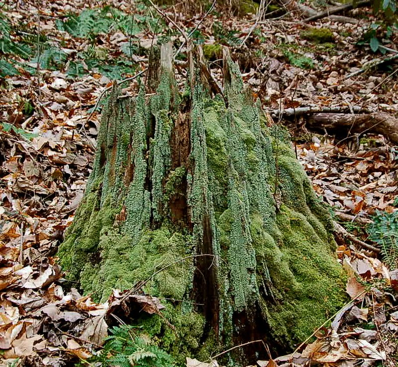
Boredom 2
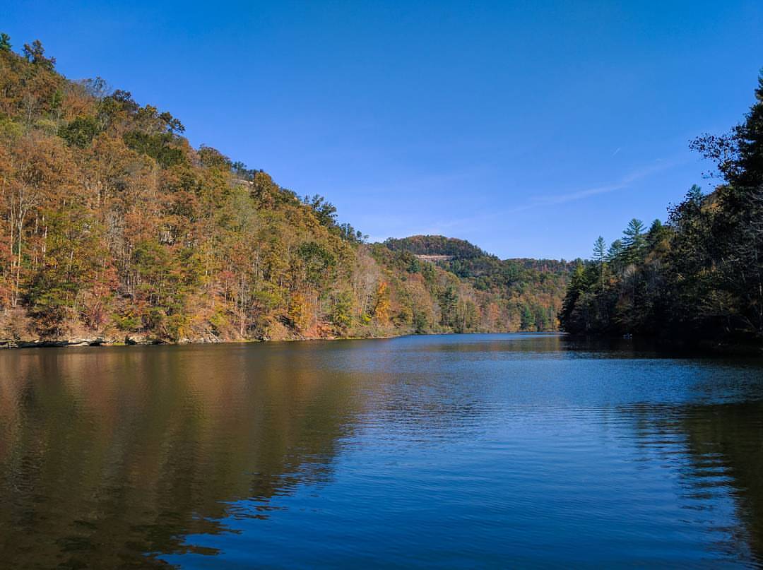
Great time out in #nature in #kentucky with some of the friends. #photography #kentuckygram #lake #fall #greatweather

2012-01-02_13.04.24

2012-01-02_13.05.16

2012-01-02_13.00.21

2012-01-02_13.00.12
Topographic Map of Wagers Mountain Road, Wagers Mountain Rd, Kentucky, USA
Find elevation by address:

Places near Wagers Mountain Road, Wagers Mountain Rd, Kentucky, USA:
Tipton Ridge Road
Furnace Junction Road
Fitchburg Rd, Ravenna, KY, USA
518 3rd St
Ravenna
Cob Hill Crossroads Community
Cobhill
337 Broadway St
626 N Madison Ave
Barnes Mountain Road
Irvine
Estill County
503 Laurel St
225 Clearview Rd
165 Sugar Hollow Road
Winchester Rd, Irvine, KY, USA
1265 South Irvine Road
1 White Oak Rd
Evelyn Road
Old Landing
Recent Searches:
- Elevation of Corso Fratelli Cairoli, 35, Macerata MC, Italy
- Elevation of Tallevast Rd, Sarasota, FL, USA
- Elevation of 4th St E, Sonoma, CA, USA
- Elevation of Black Hollow Rd, Pennsdale, PA, USA
- Elevation of Oakland Ave, Williamsport, PA, USA
- Elevation of Pedrógão Grande, Portugal
- Elevation of Klee Dr, Martinsburg, WV, USA
- Elevation of Via Roma, Pieranica CR, Italy
- Elevation of Tavkvetili Mountain, Georgia
- Elevation of Hartfords Bluff Cir, Mt Pleasant, SC, USA