Elevation of Barnes Mountain Road, Barnes Mountain Rd, Kentucky, USA
Location: United States > Kentucky > Estill County > Alumbaugh >
Longitude: -83.913811
Latitude: 37.6234
Elevation: 380m / 1247feet
Barometric Pressure: 97KPa
Elevation Map:
Satellite Map:
Related Photos:

A frog's world view from inside a well

IMG_5460.JPG

IMG_5465.JPG

IMG_5454.JPG

IMG_5469.JPG

IMG_5447.JPG

IMG_5455.JPG

snowy scene

Alcorn Falls.

Lynch Town School ...... not

Kudzu Railroad

Alcorn Branch Falls , KY
Alcorn Branch Falls, KY

Heidelberg bridge, Heidelberg, Ky.

St George's Day 2013

Boredom 2

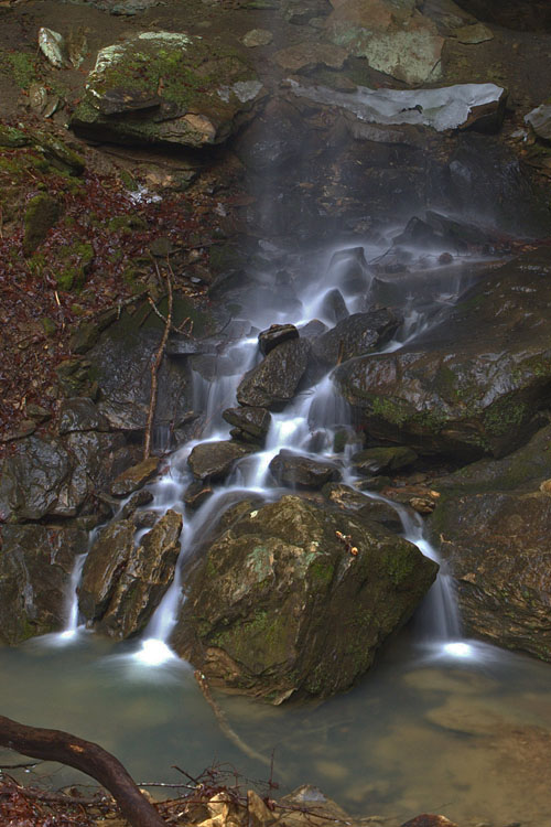
Small waterfall near Alcorn Falls

The approach of Alcorn Falls

Alcorn Branch Falls, KY
Topographic Map of Barnes Mountain Road, Barnes Mountain Rd, Kentucky, USA
Find elevation by address:

Places near Barnes Mountain Road, Barnes Mountain Rd, Kentucky, USA:
518 3rd St
Ravenna
Wagers Mountain Road
165 Sugar Hollow Road
Evelyn Road
337 Broadway St
Tipton Ridge Road
1265 South Irvine Road
626 N Madison Ave
Estill County
Irvine
503 Laurel St
Fitchburg Rd, Ravenna, KY, USA
Old Landing
Wisemantown
225 Clearview Rd
Furnace Junction Road
Winchester Rd, Irvine, KY, USA
1 White Oak Rd
Cob Hill Crossroads Community
Recent Searches:
- Elevation of Corso Fratelli Cairoli, 35, Macerata MC, Italy
- Elevation of Tallevast Rd, Sarasota, FL, USA
- Elevation of 4th St E, Sonoma, CA, USA
- Elevation of Black Hollow Rd, Pennsdale, PA, USA
- Elevation of Oakland Ave, Williamsport, PA, USA
- Elevation of Pedrógão Grande, Portugal
- Elevation of Klee Dr, Martinsburg, WV, USA
- Elevation of Via Roma, Pieranica CR, Italy
- Elevation of Tavkvetili Mountain, Georgia
- Elevation of Hartfords Bluff Cir, Mt Pleasant, SC, USA