Elevation of - Marcum Rd, Irvine, KY, USA
Location: United States > Kentucky > Jackson County >
Longitude: -83.951892
Latitude: 37.576098
Elevation: 354m / 1161feet
Barometric Pressure: 97KPa
Elevation Map:
Satellite Map:
Related Photos:

snowy scene

County Wall
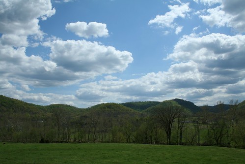
IMG_5441.JPG
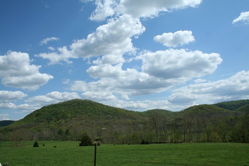
IMG_5444.JPG
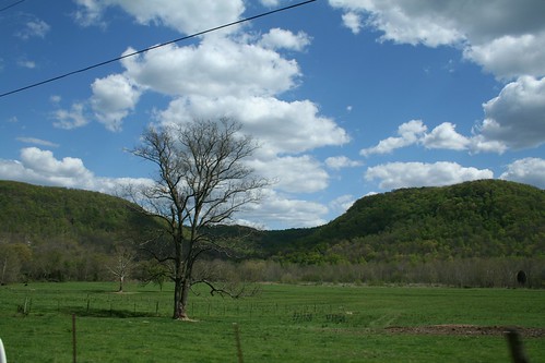
IMG_5447.JPG
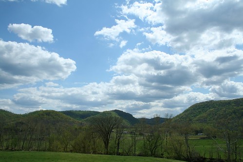
IMG_5440.JPG
IMG_5445.JPG
IMG_5442.JPG
IMG_5460.JPG
IMG_5465.JPG
IMG_5443.JPG
IMG_5455.JPG
IMG_5454.JPG
IMG_5469.JPG
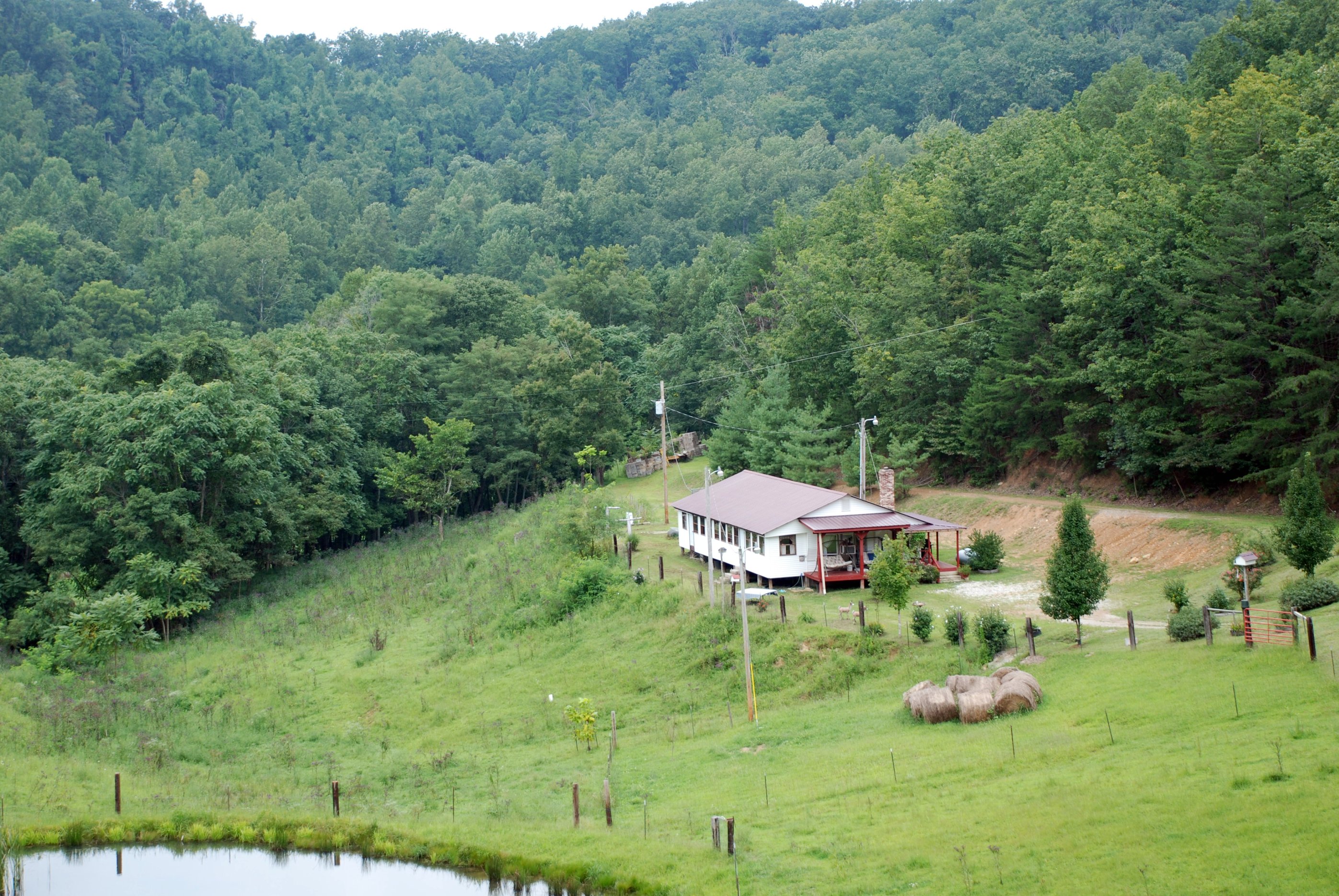
Lynch Town School ...... not
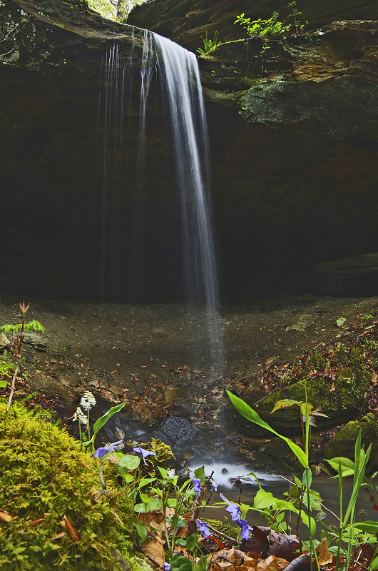
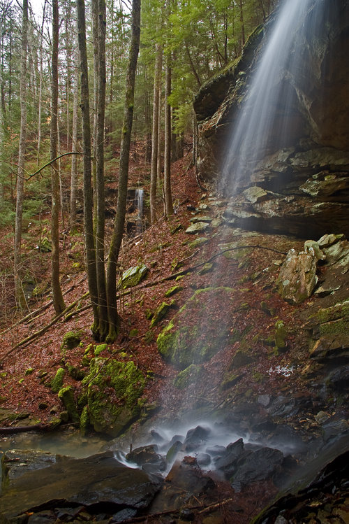
Small waterfall near Alcorn Falls
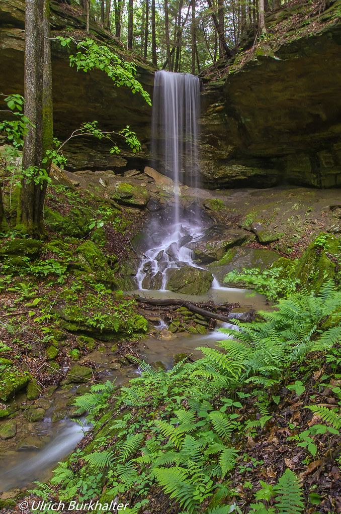
Alcorn Falls.
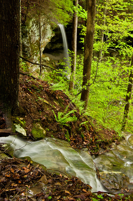
The approach of Alcorn Falls

War Fork Creek
Alcorn Branch Falls , KY
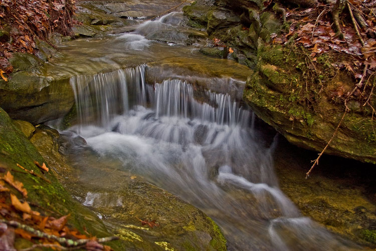
Alcorn Branch Falls, KY

Kudzu Railroad
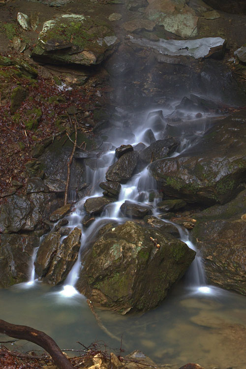
Alcorn Branch Falls, KY

Boredom 2

St George's Day 2013
Topographic Map of - Marcum Rd, Irvine, KY, USA
Find elevation by address:

Places near - Marcum Rd, Irvine, KY, USA:
9015 Mckee Rd
Alumbaugh
Hisel-blanton Flats Road
Barnes Mountain Road
Sand Lick Road
165 Sugar Hollow Road
1265 South Irvine Road
Evelyn - Lock Rd, Irvine, KY, USA
Ravenna
Kissey Branch Rd, Irvine, KY, USA
518 3rd St
Wisemantown
337 Broadway St
Estill County
626 N Madison Ave
Irvine
1000 Round Mountain Rd
1005 Round Mountain Rd
Evelyn Road
503 Laurel St
Recent Searches:
- Elevation of Corso Fratelli Cairoli, 35, Macerata MC, Italy
- Elevation of Tallevast Rd, Sarasota, FL, USA
- Elevation of 4th St E, Sonoma, CA, USA
- Elevation of Black Hollow Rd, Pennsdale, PA, USA
- Elevation of Oakland Ave, Williamsport, PA, USA
- Elevation of Pedrógão Grande, Portugal
- Elevation of Klee Dr, Martinsburg, WV, USA
- Elevation of Via Roma, Pieranica CR, Italy
- Elevation of Tavkvetili Mountain, Georgia
- Elevation of Hartfords Bluff Cir, Mt Pleasant, SC, USA