Elevation of Saint Johns, St Johns, AZ, USA
Location: United States > Arizona > Apache County >
Longitude: -109.36093
Latitude: 34.5058698
Elevation: 1732m / 5682feet
Barometric Pressure: 82KPa
Elevation Map:
Satellite Map:
Related Photos:
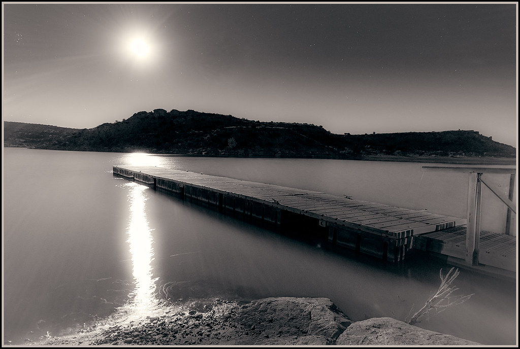
Autumn Moon

Lyman Lake sunrise2
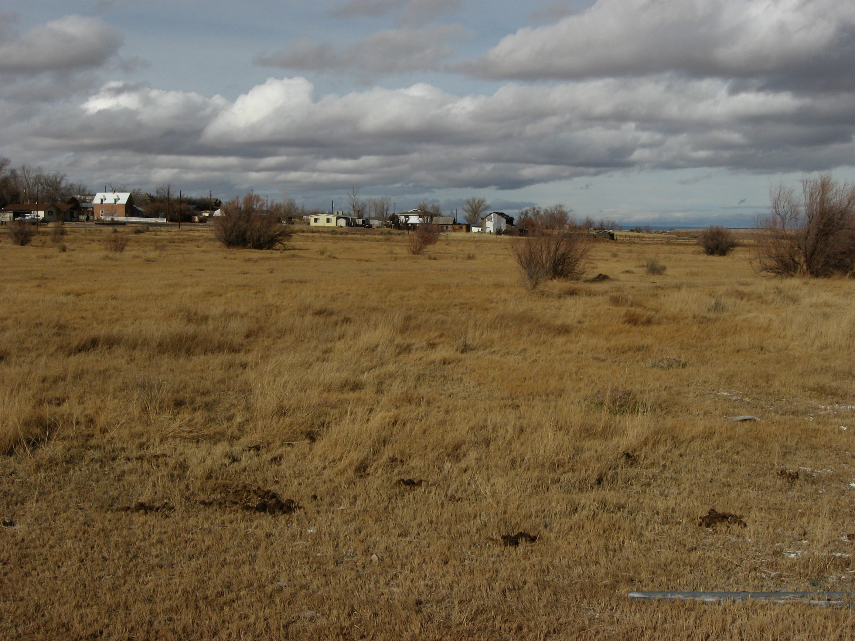
Beautiful Pasture Immediately South of St. Johns, Arizona
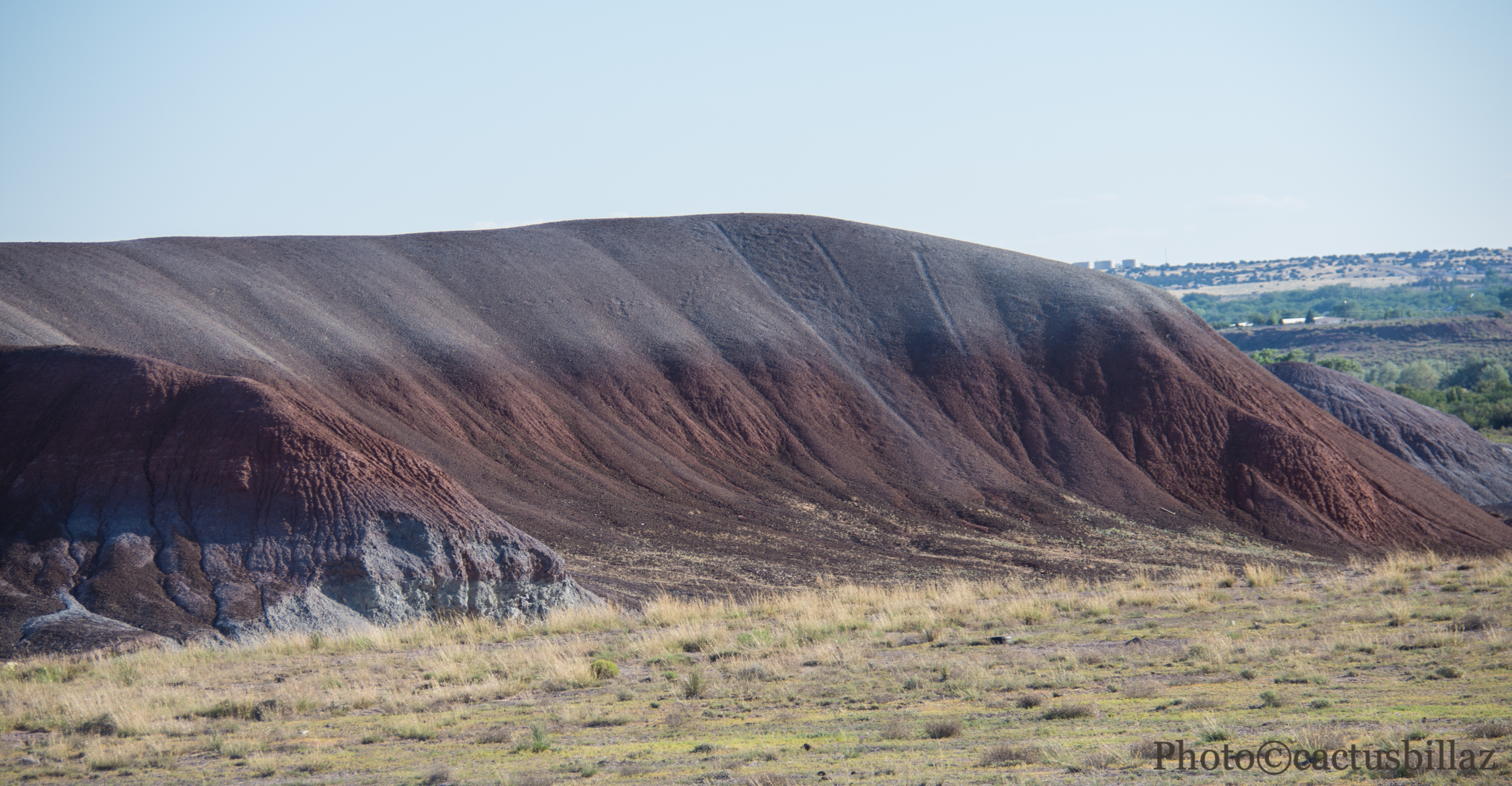
Arizona Dirt
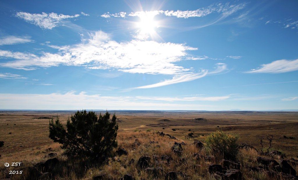
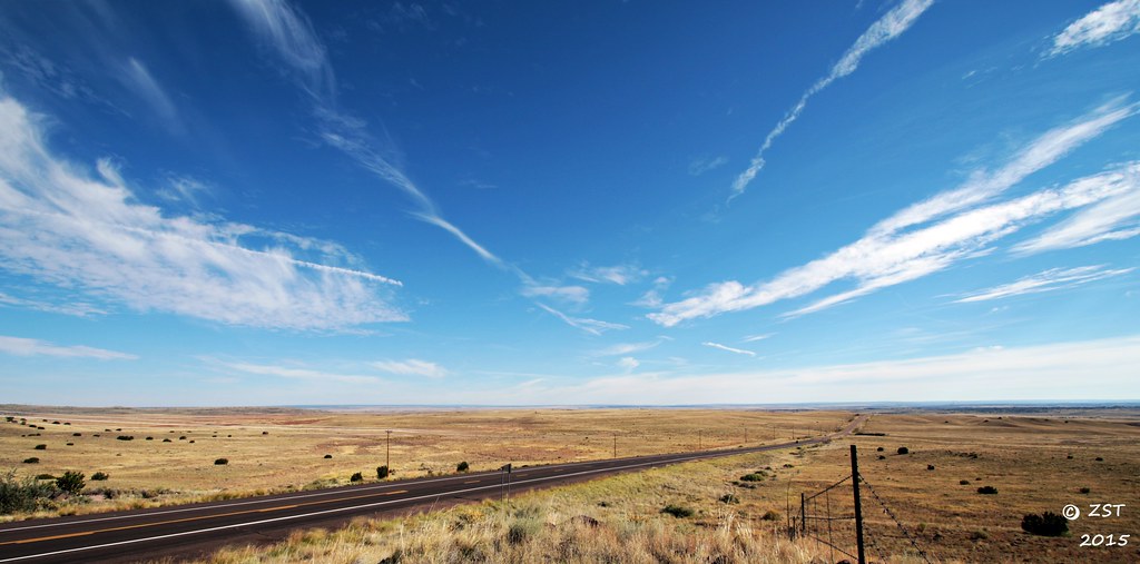
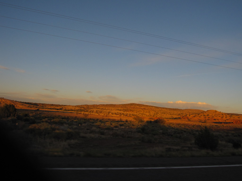
A Rural Arizona Landscape
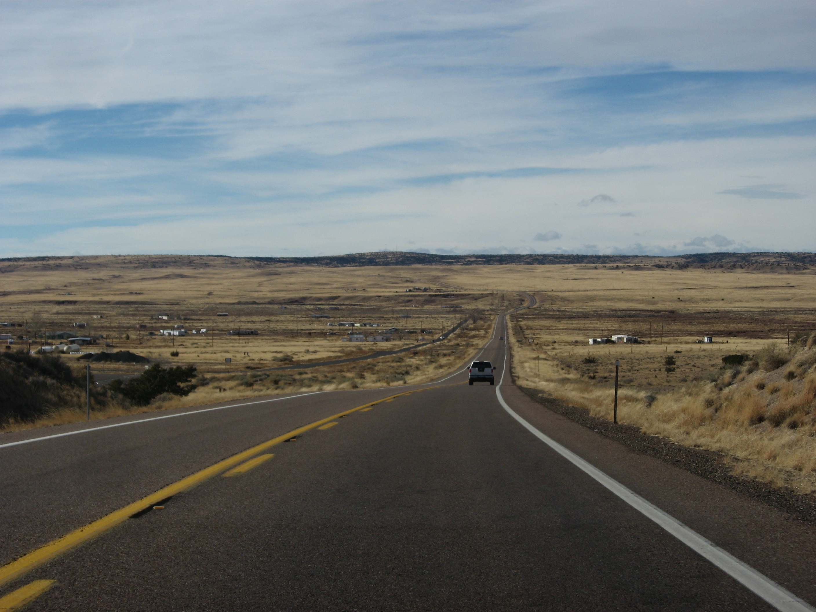
Highway 61

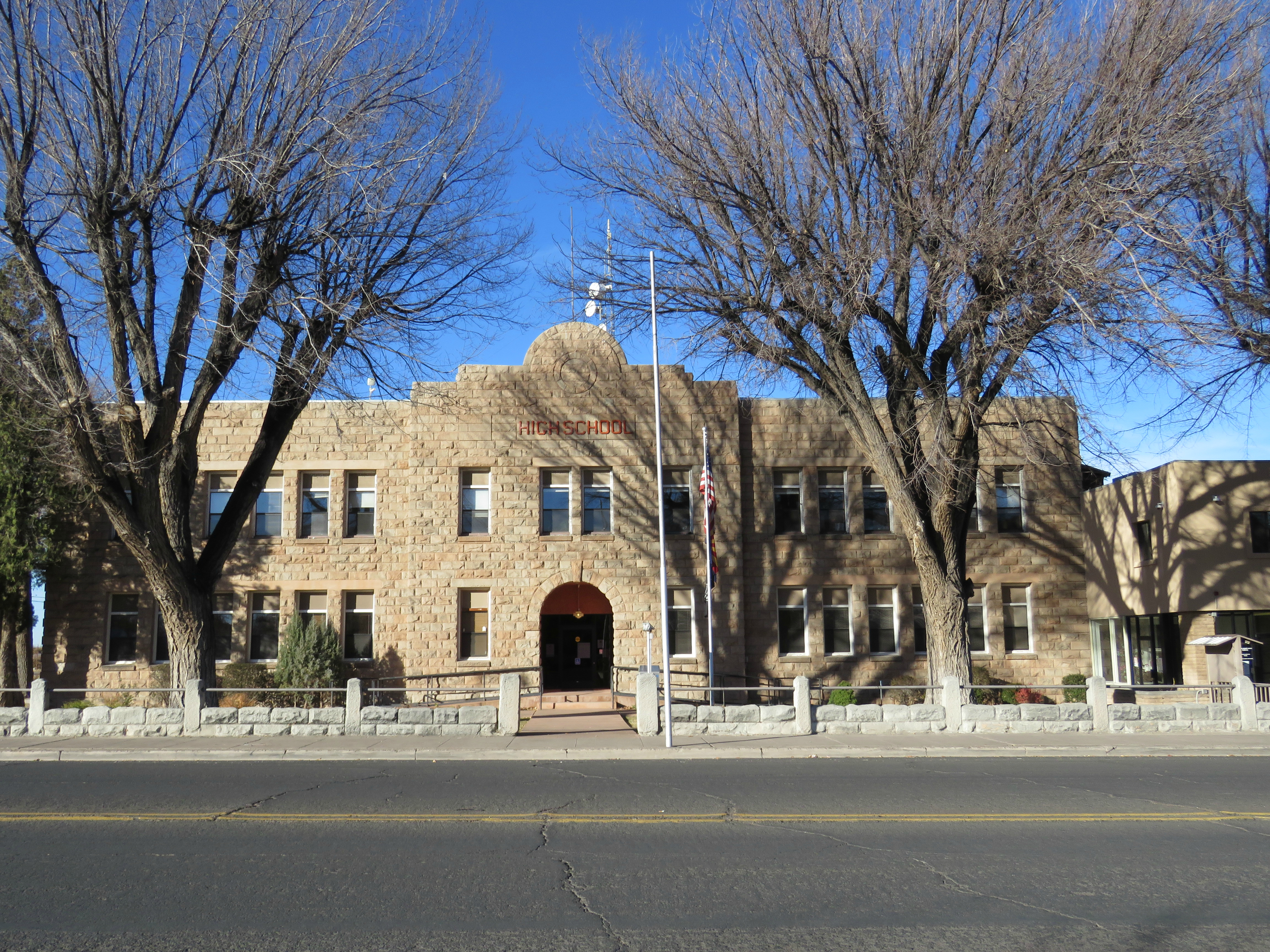
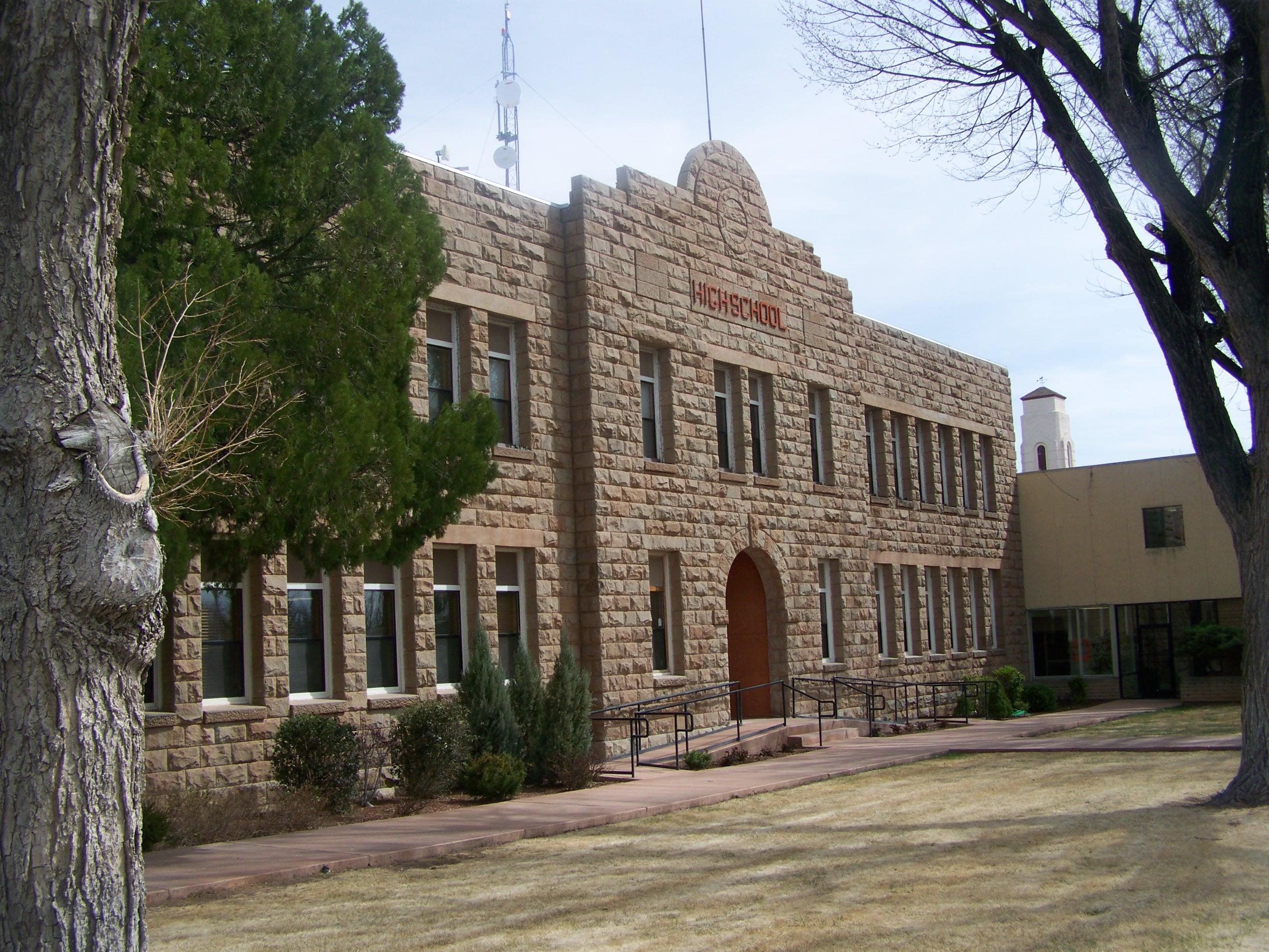
St. Johns, Arizona Historic High School, St. Johns, Arizona

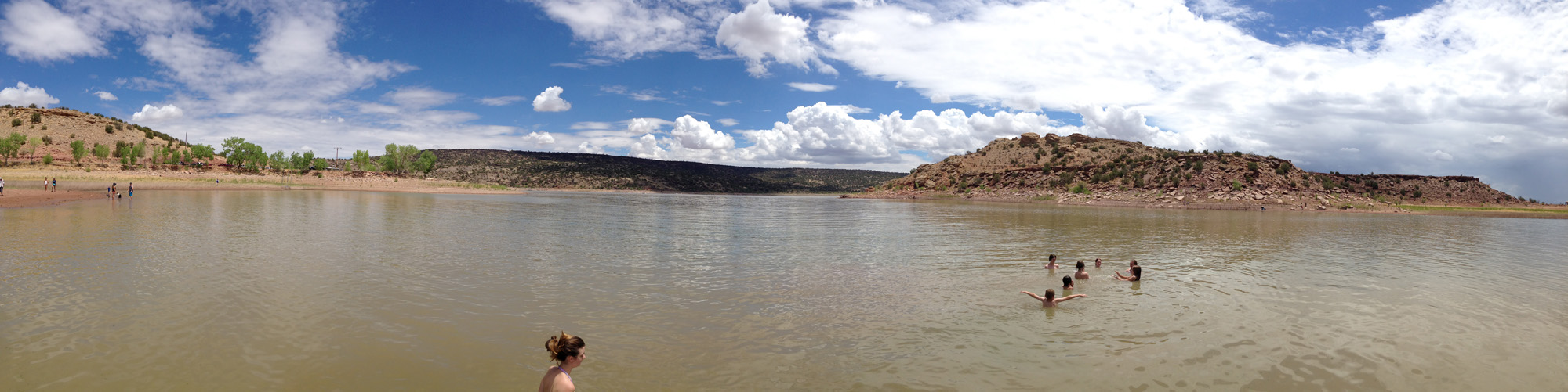
Low Water At Lyman Lake
Mistaken identity
Day 186...2014
Saint Johns AZ (1)
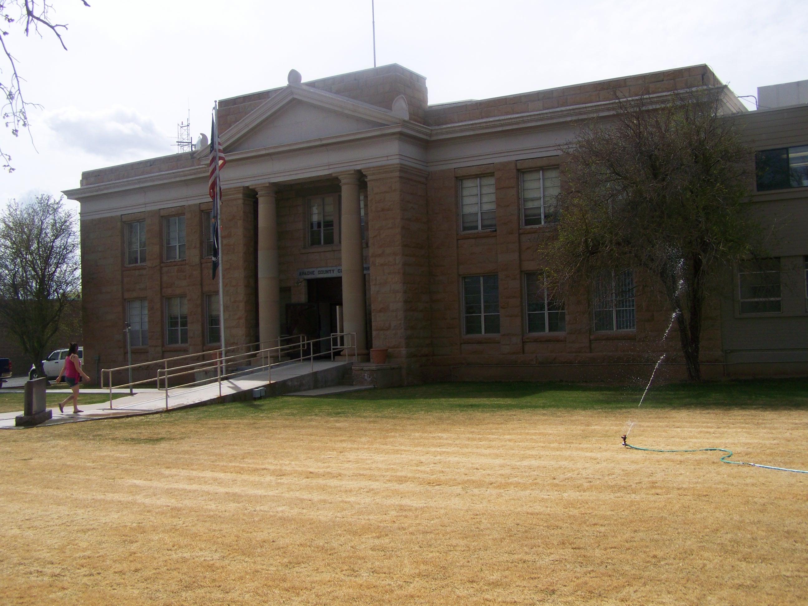
Apache County Courthouse- Saint Johns AZ (2)

Apache County Courthouse- Saint Johns AZ (3)

Western Drug - Springerville, AZ
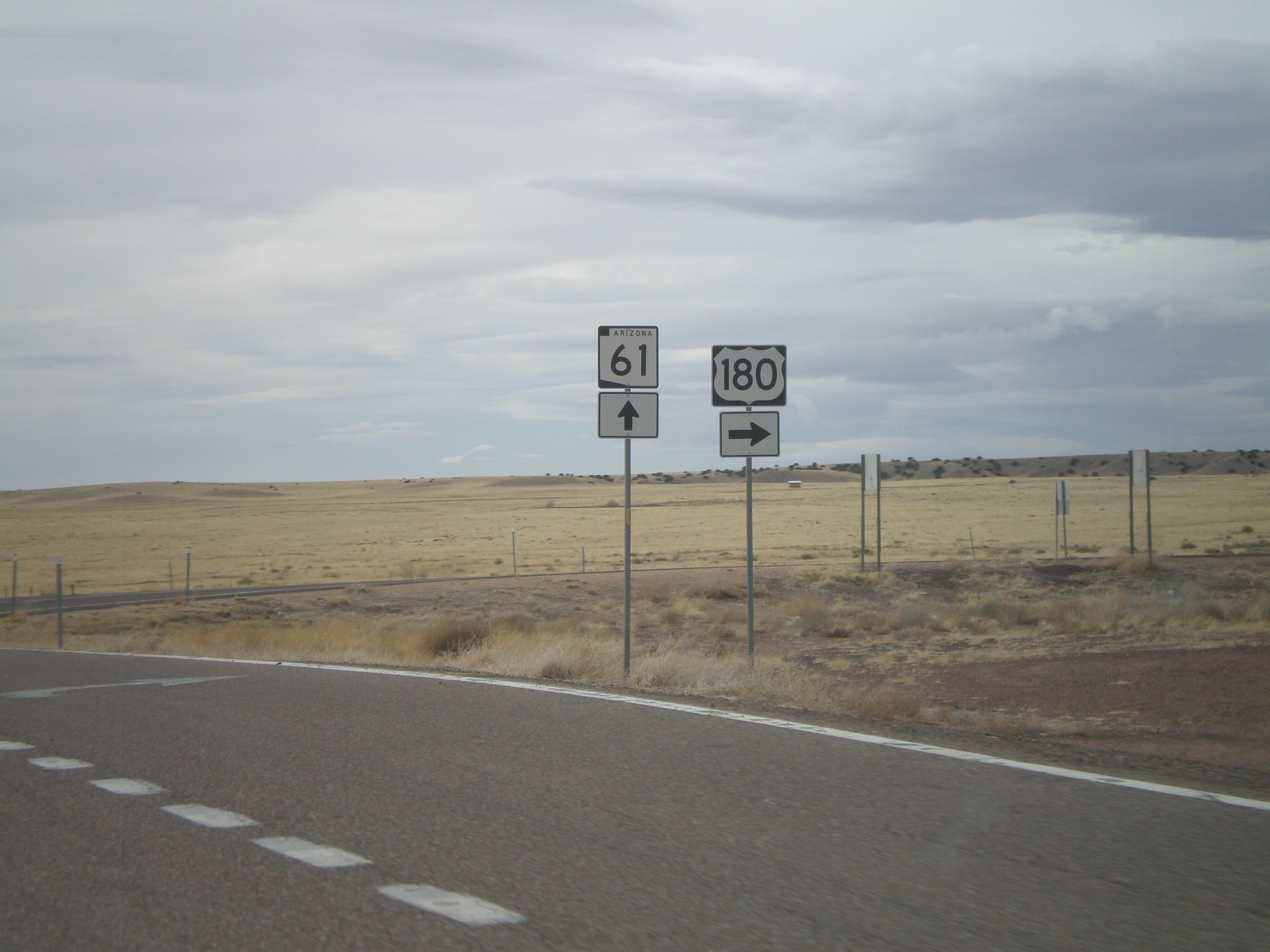
US-180 West/AZ-61 West at Split

US-180 West/AZ-61 West at Split
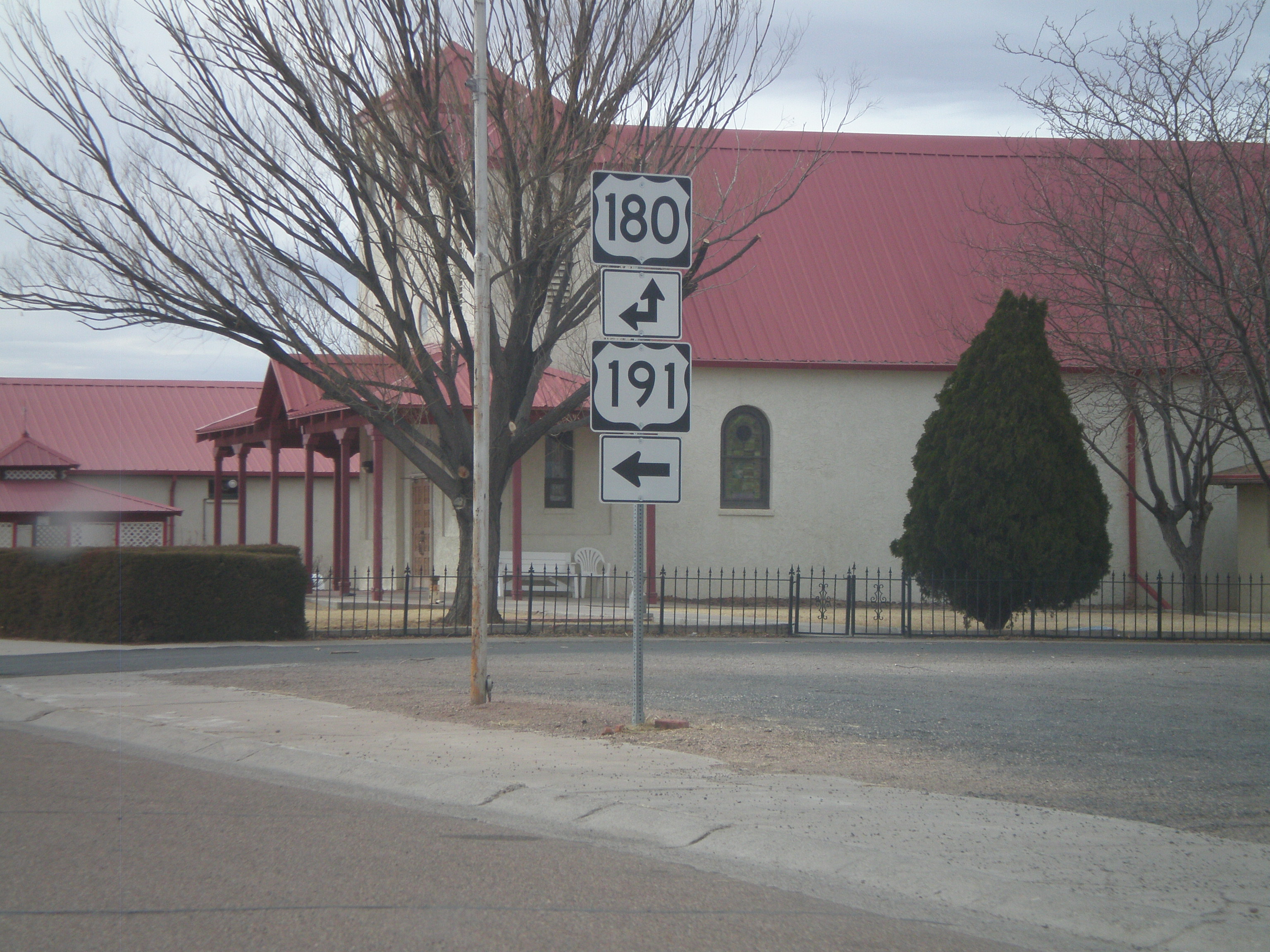
US-191 South/AZ-61 West at US-180
US-191 South/AZ-61 West Approaching US-180
Arizona State Route 61 Between St. Johns and Concho, Arizona
img_0903.jpg

ZoneTag Photo Saturday 12:48 pm 12/27/08 St Johns, Arizona
Topographic Map of Saint Johns, St Johns, AZ, USA
Find elevation by address:

Places in Saint Johns, St Johns, AZ, USA:
Places near Saint Johns, St Johns, AZ, USA:
90 7th W
90 7th W
N6100
Apache County Road
St Johns, AZ, USA
Delaware Lane
Concho
Concho Creek Drive
70 Apache Dr N8328
53 Bonita Ln
53 Bonita Ln
Concho, AZ, USA
Springerville
E Main St, Springerville, AZ, USA
30 Chiricahua Dr
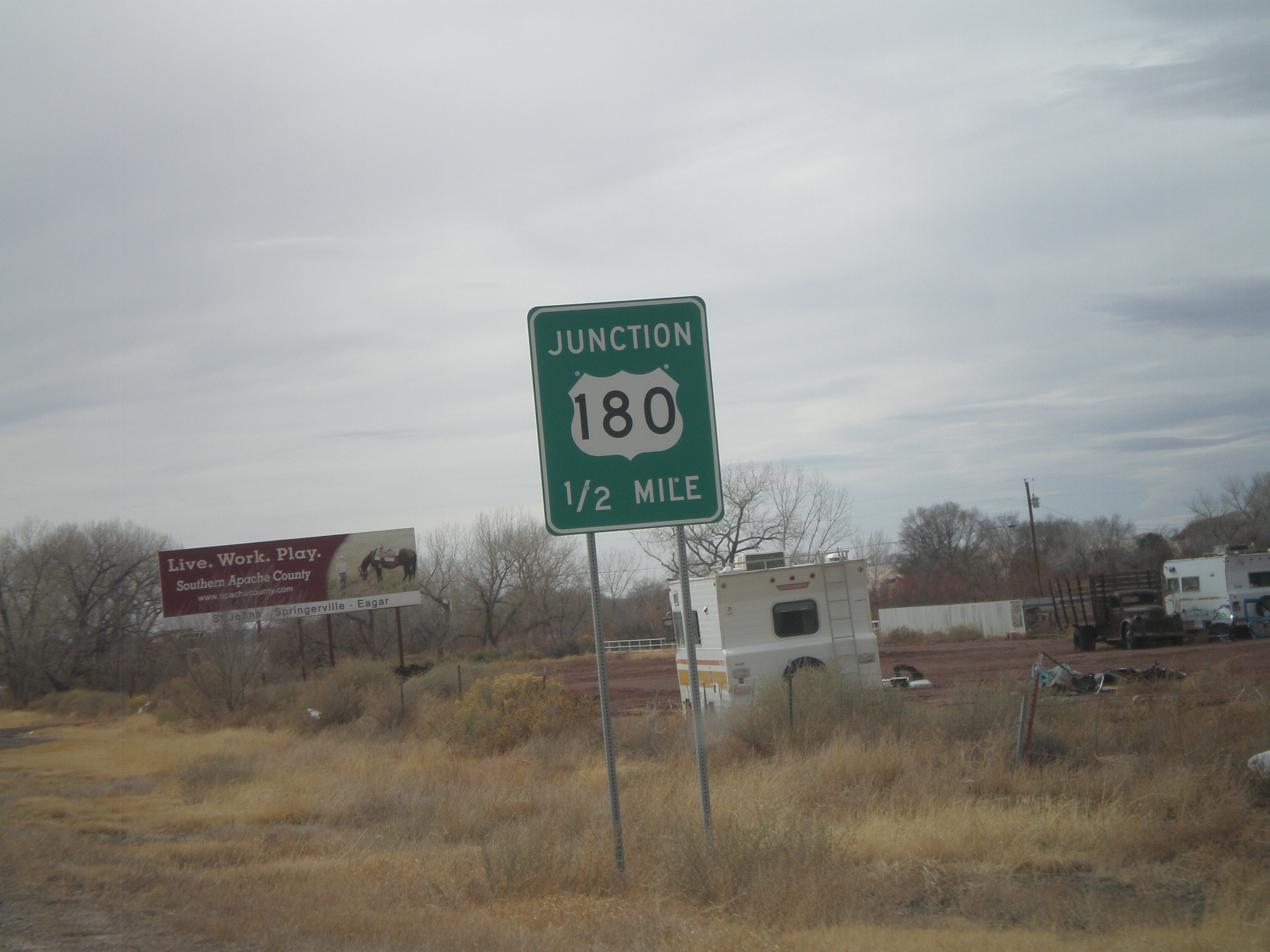
62 Us-180
Witch Well Road
129 N1340
Apache County N7200
Eagar
Recent Searches:
- Elevation of Corso Fratelli Cairoli, 35, Macerata MC, Italy
- Elevation of Tallevast Rd, Sarasota, FL, USA
- Elevation of 4th St E, Sonoma, CA, USA
- Elevation of Black Hollow Rd, Pennsdale, PA, USA
- Elevation of Oakland Ave, Williamsport, PA, USA
- Elevation of Pedrógão Grande, Portugal
- Elevation of Klee Dr, Martinsburg, WV, USA
- Elevation of Via Roma, Pieranica CR, Italy
- Elevation of Tavkvetili Mountain, Georgia
- Elevation of Hartfords Bluff Cir, Mt Pleasant, SC, USA