Elevation of N, Springerville, AZ, USA
Longitude: -109.60969
Latitude: 34.1999022
Elevation: 2376m / 7795feet
Barometric Pressure: 76KPa
Elevation Map:
Satellite Map:
Related Photos:

20181207-FS-APACHE-SITGREAVES-LSC-0054

20181207-FS-APACHE-SITGREAVES-LSC-0058
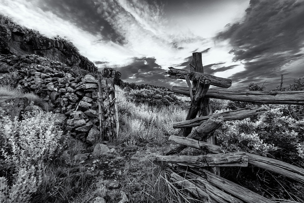
Gate To Schuster Spring

Sunset, White Mountains, Arizona (explore 30Jun21)

Tower On The Hill
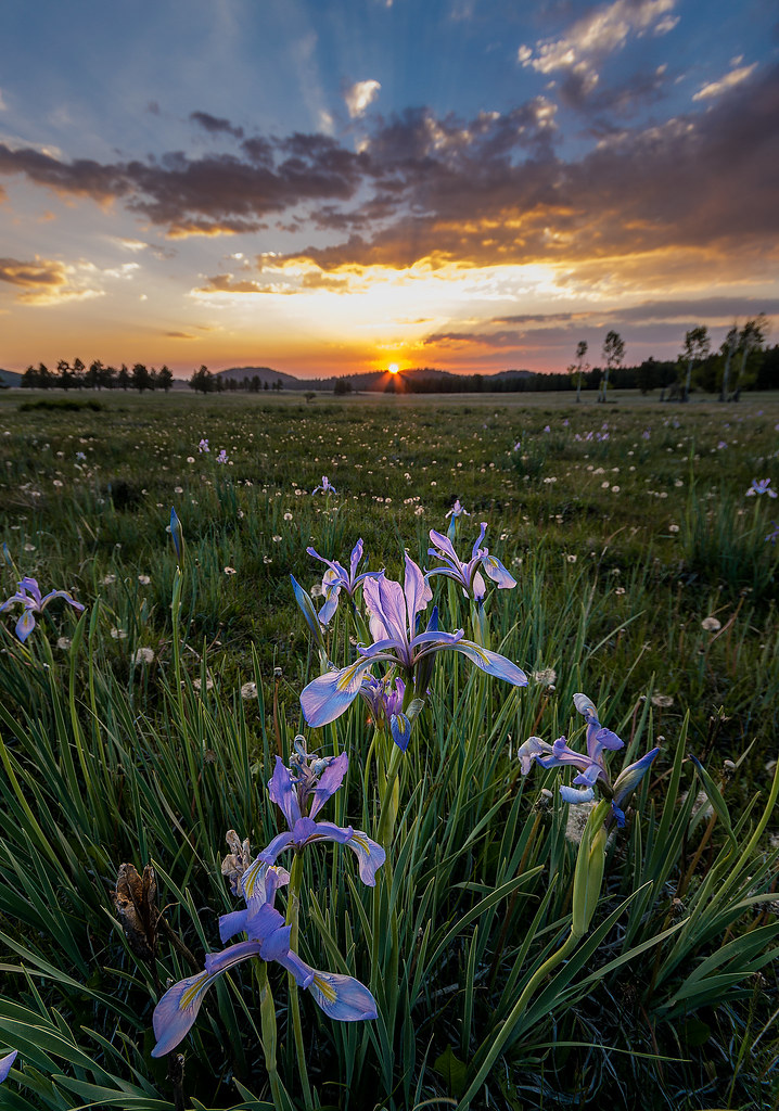
Field Of Color2

Evening on Green's Peak2

Hwy. 60 Cinder Pit

Panorama from FS 117A, above Hidden Meadow Ranch

Impressions From Green's Peak

Evening on Green's Peak

sunrise, Green's Peak3

Road less traveled in the White Mountains of Eastern Arizona

Looking South from Green's Peak

Apache National Forest, Arizona

Apache National Forest, Arizona
Topographic Map of N, Springerville, AZ, USA
Find elevation by address:

Places near N, Springerville, AZ, USA:
Greens Peak
Delaware Lane
Mly Ranch
Rolfe C. Hoyer Campground
600 Northwoods Rd
90 Main St, Greer, AZ, USA
Greer
53 Bonita Ln
53 Bonita Ln
Concho Creek Drive
70 Apache Dr N8328
Concho
Baldy Peak
Mount Baldy
Eagar
Springerville
E Main St, Springerville, AZ, USA
1019 Rencher St
30 Chiricahua Dr
62 Us-180
Recent Searches:
- Elevation of Corso Fratelli Cairoli, 35, Macerata MC, Italy
- Elevation of Tallevast Rd, Sarasota, FL, USA
- Elevation of 4th St E, Sonoma, CA, USA
- Elevation of Black Hollow Rd, Pennsdale, PA, USA
- Elevation of Oakland Ave, Williamsport, PA, USA
- Elevation of Pedrógão Grande, Portugal
- Elevation of Klee Dr, Martinsburg, WV, USA
- Elevation of Via Roma, Pieranica CR, Italy
- Elevation of Tavkvetili Mountain, Georgia
- Elevation of Hartfords Bluff Cir, Mt Pleasant, SC, USA