Elevation of 62 US-, Springerville, AZ, USA
Location: United States > Arizona > Apache County > Springerville >
Longitude: -109.26600
Latitude: 34.1288888
Elevation: 2138m / 7014feet
Barometric Pressure: 78KPa
Elevation Map:
Satellite Map:
Related Photos:

Night Sky Over Round Valley

20181207-FS-APACHE-SITGREAVES-LSC-0157

20181207-FS-APACHE-SITGREAVES-LSC-0168

20181207-FS-APACHE-SITGREAVES-LSC-0276

20181207-FS-APACHE-SITGREAVES-LSC-0163

20181207-FS-APACHE-SITGREAVES-LSC-0160
20181207-FS-APACHE-SITGREAVES-LSC-0179

20181207-FS-APACHE-SITGREAVES-LSC-0161

20181207-FS-APACHE-SITGREAVES-LSC-0264

20181207-FS-APACHE-SITGREAVES-LSC-0288

Scenic View

Scenic View

Cool Mountain Stream

Southwest Sky
Escudilla Mountain Monsoon

20181207-FS-APACHE-SITGREAVES-LSC-0066

20181207-FS-APACHE-SITGREAVES-LSC-0104
Nutrioso Custom Home On Over 2 Acres
Cinder Hill

Into The Storm

Little Colorado River Walk

Point of the Mountain overlook, Big Lake Road
Evening on the Springerville Lava Field

Vista of Springerville, Arizona

Straw Mulching on Hwy 261

Ancient Lava Field

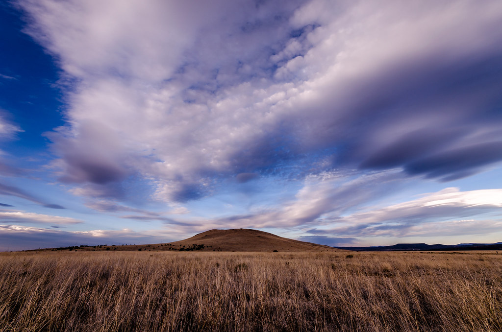
Looking north across grassland just west of Springerville

High altitude grassland just west of Springerville

Ancient Lava Field

Arizona Highway
Topographic Map of 62 US-, Springerville, AZ, USA
Find elevation by address:

Places near 62 US-, Springerville, AZ, USA:
30 Chiricahua Dr
E Main St, Springerville, AZ, USA
Springerville
1956 Park Pl
Eagar
1019 Rencher St
Mly Ranch
41357 Us-180
US-, Nutrioso, AZ, USA
Nutrioso
U.s. 191
Rolfe C. Hoyer Campground
600 Northwoods Rd
8 Forest Service Rd 81
90 Main St, Greer, AZ, USA
Greer
42627 Us-180
Alpine
US-, Alpine, AZ, USA
Greens Peak
Recent Searches:
- Elevation of Corso Fratelli Cairoli, 35, Macerata MC, Italy
- Elevation of Tallevast Rd, Sarasota, FL, USA
- Elevation of 4th St E, Sonoma, CA, USA
- Elevation of Black Hollow Rd, Pennsdale, PA, USA
- Elevation of Oakland Ave, Williamsport, PA, USA
- Elevation of Pedrógão Grande, Portugal
- Elevation of Klee Dr, Martinsburg, WV, USA
- Elevation of Via Roma, Pieranica CR, Italy
- Elevation of Tavkvetili Mountain, Georgia
- Elevation of Hartfords Bluff Cir, Mt Pleasant, SC, USA