Elevation of Park Pl, Springerville, AZ, USA
Location: United States > Arizona > Apache County > Springerville >
Longitude: -109.24993
Latitude: 34.1119659
Elevation: 2174m / 7133feet
Barometric Pressure: 78KPa
Elevation Map:
Satellite Map:
Related Photos:
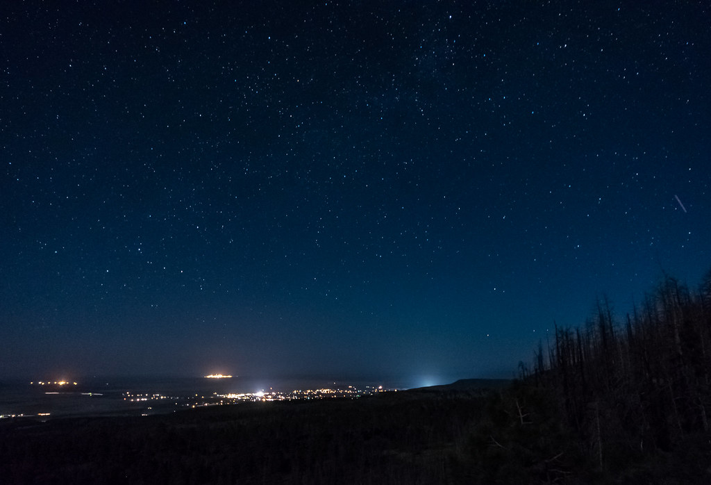
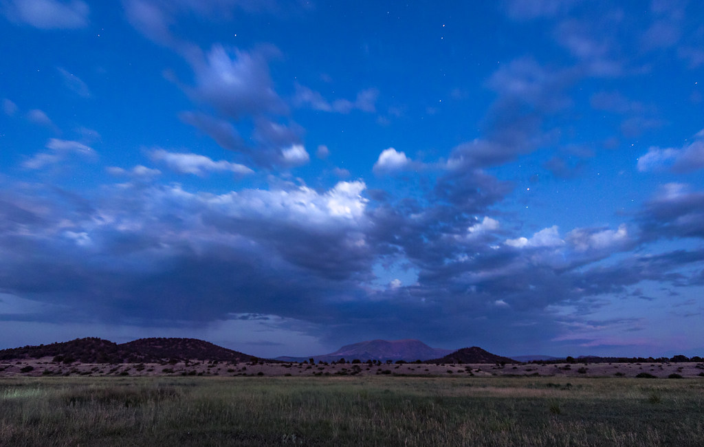
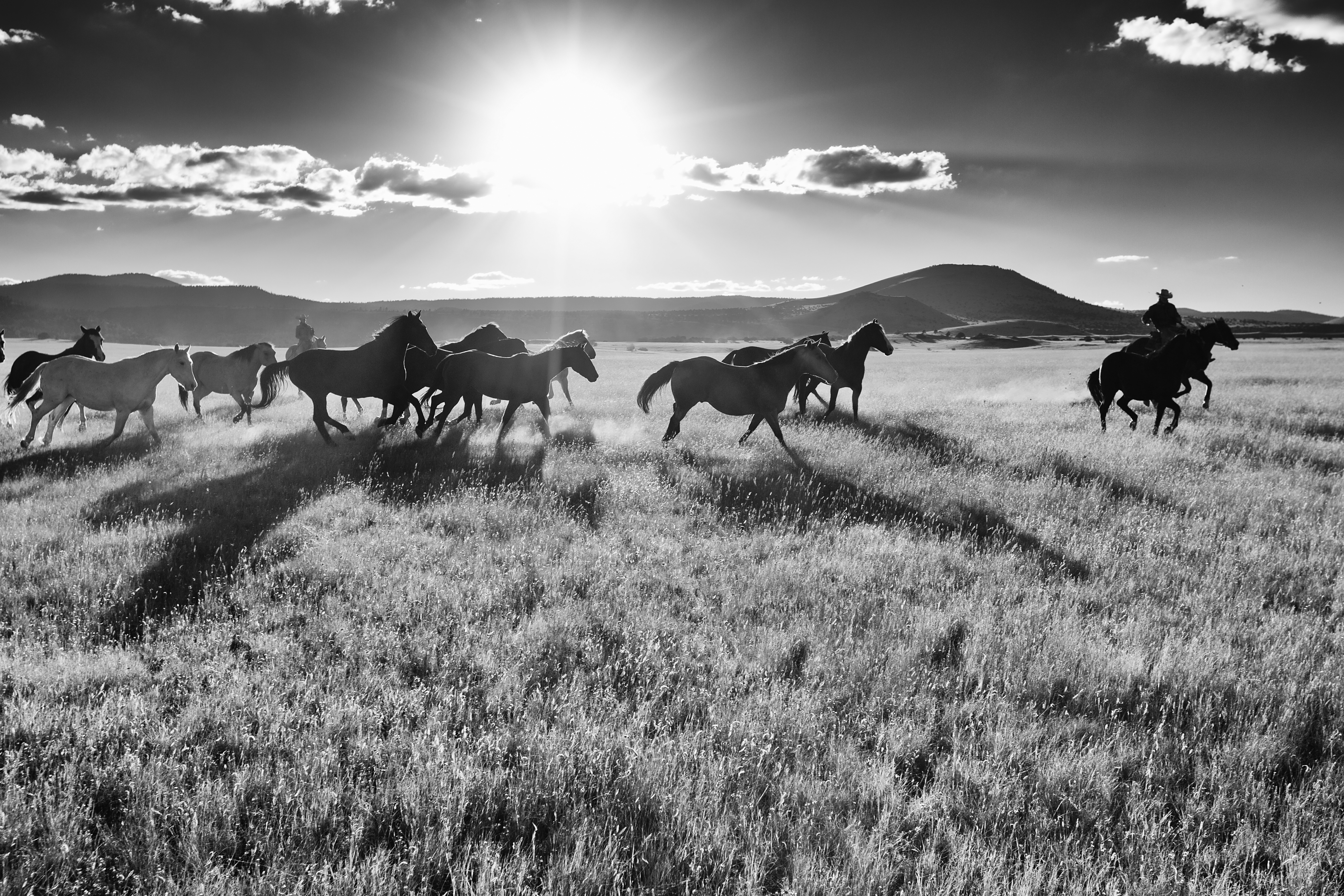
Night Sky Over Round Valley
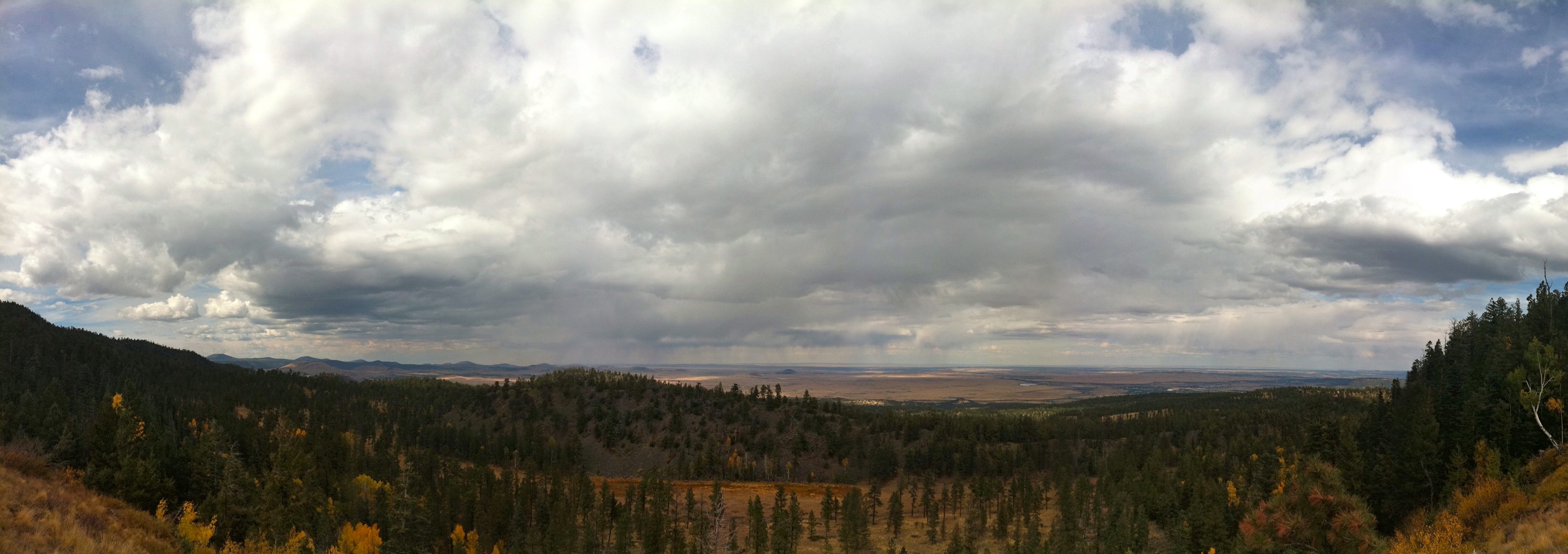
Scenic View

Sipe White Mountain Wildlife Viewing Area
Scenic View
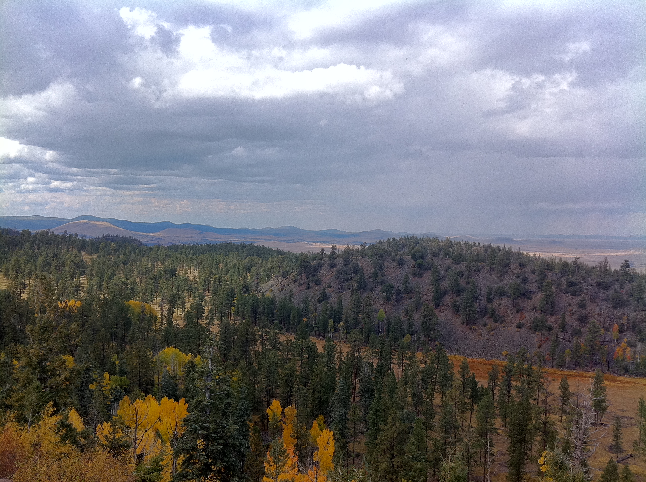
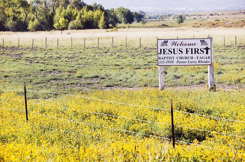
Vista of Springerville, Arizona
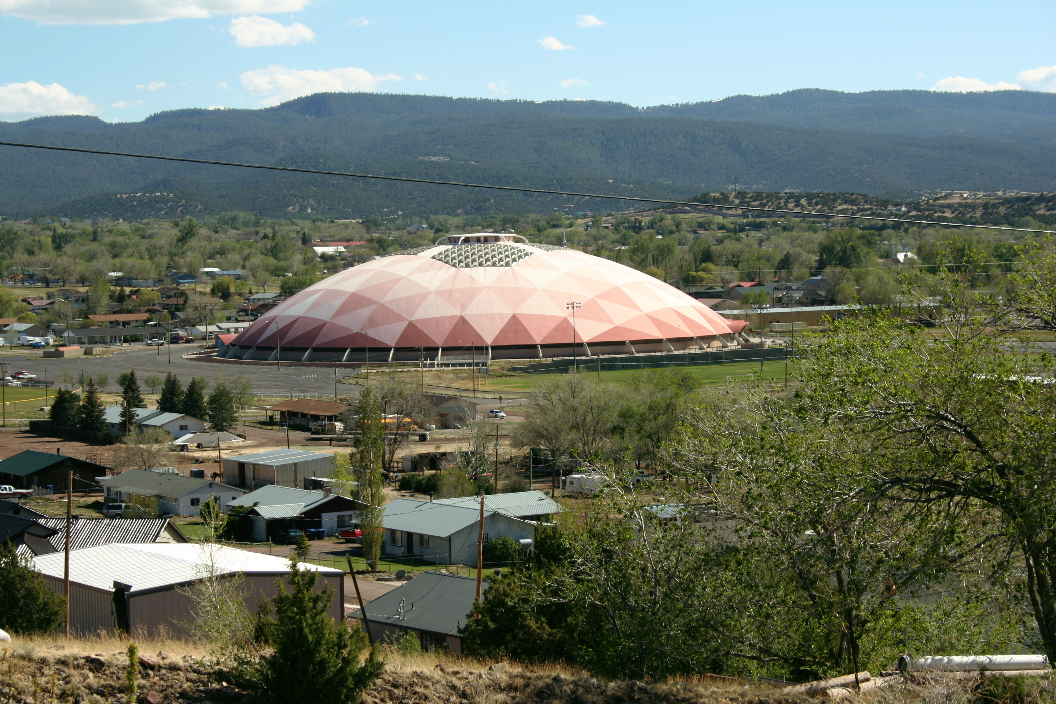
Point of the Mountain overlook, Big Lake Road
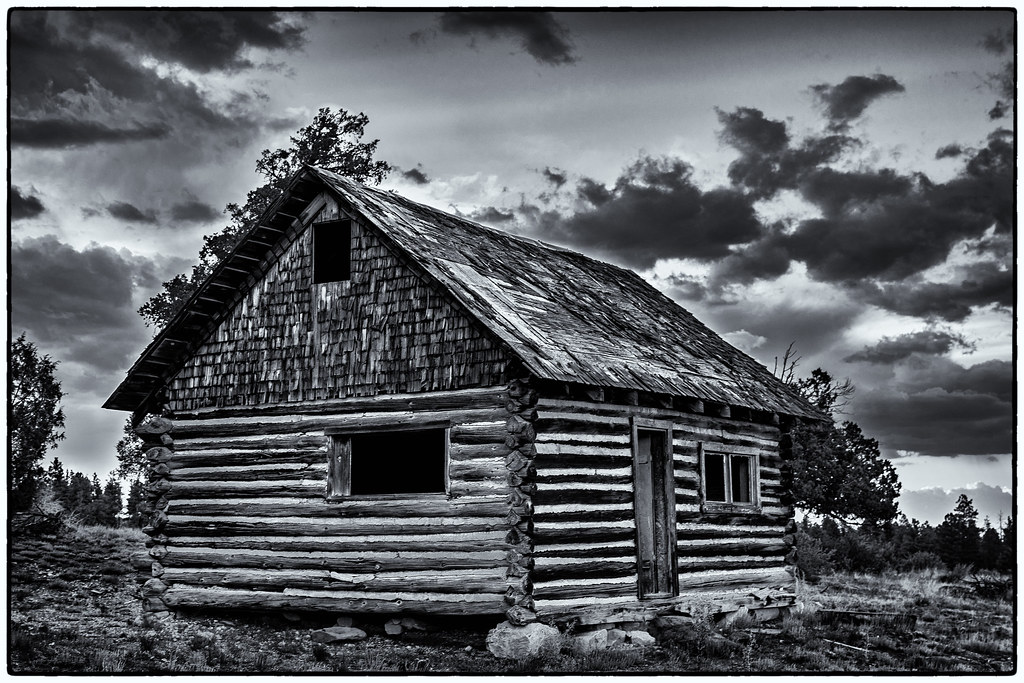
The Old Cabin
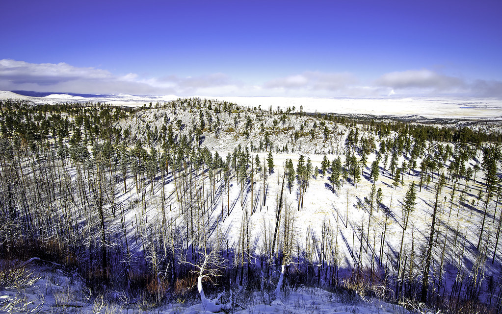
Looking north across grassland just west of Springerville
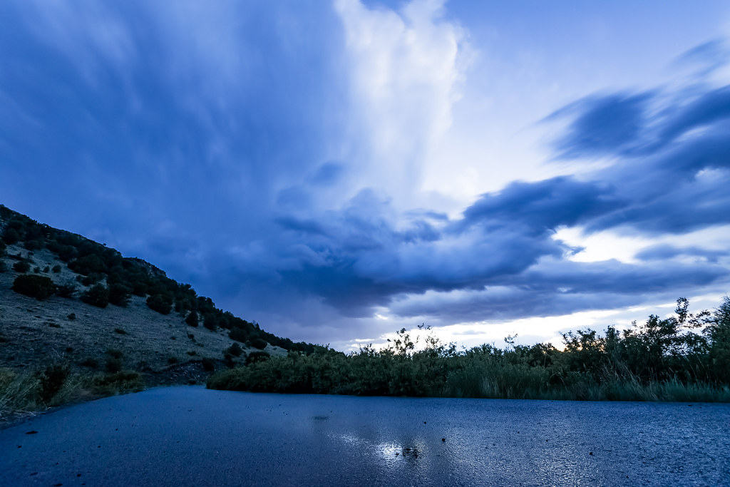
Into The Storm
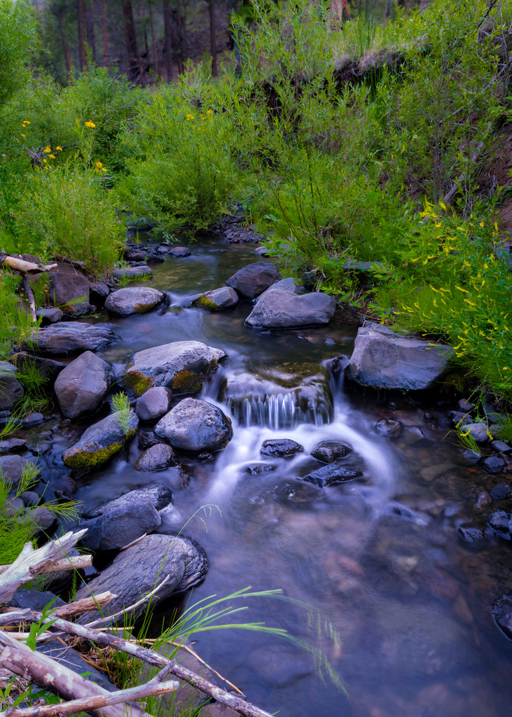
Cool Mountain Stream
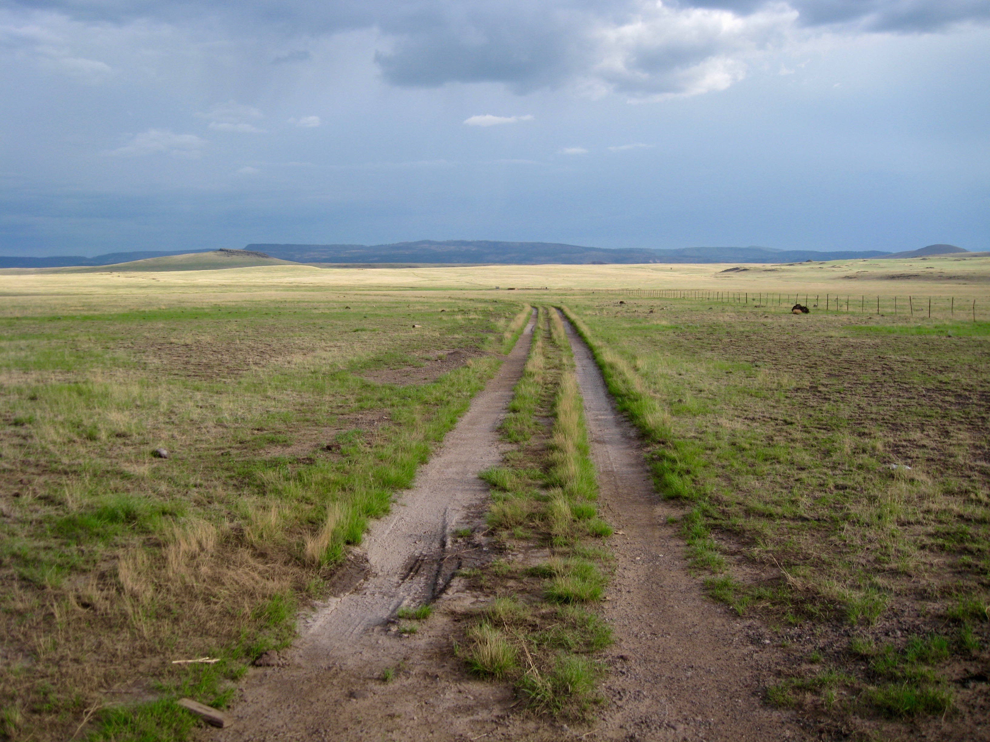
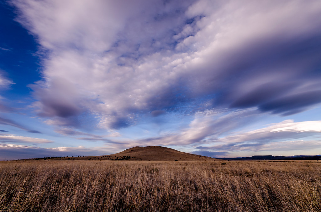
High altitude grassland just west of Springerville
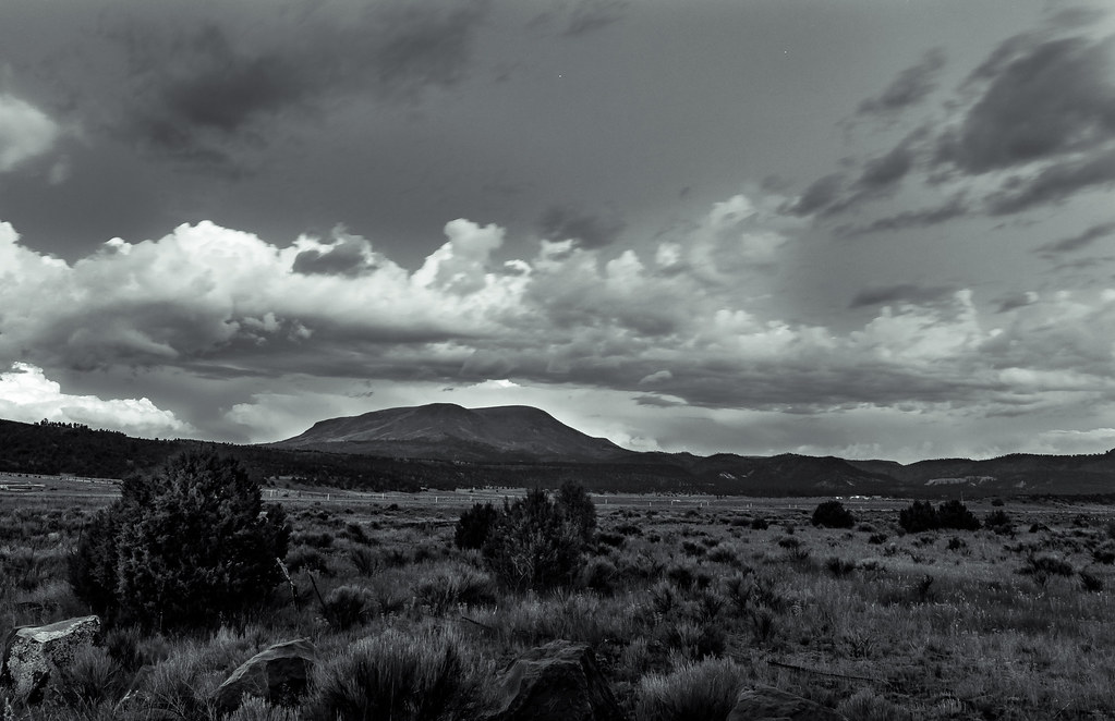
Escudilla Mountain Monsoon
Southwest Sky
Sun Toucher
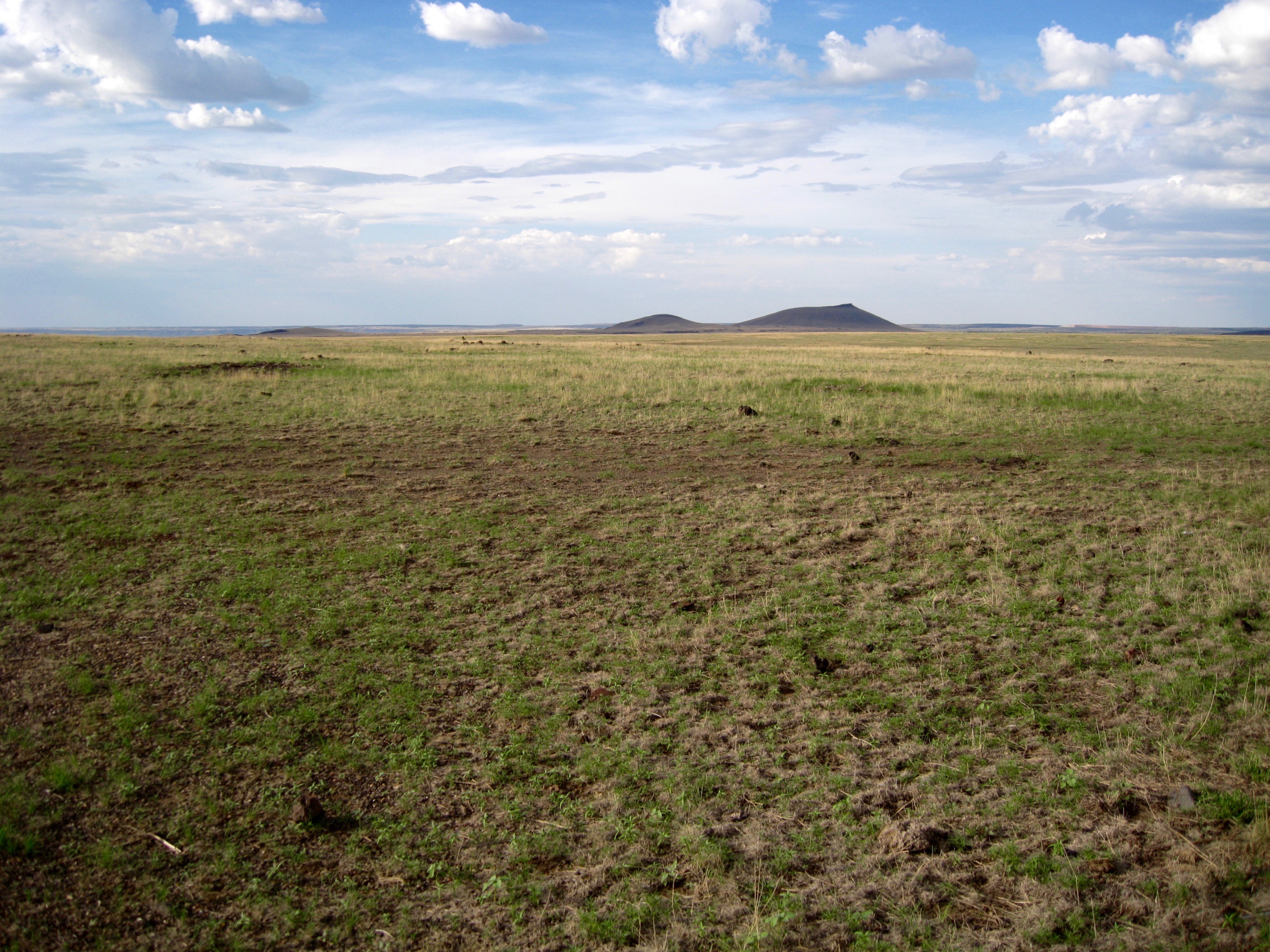
Evening on the Springerville Lava Field
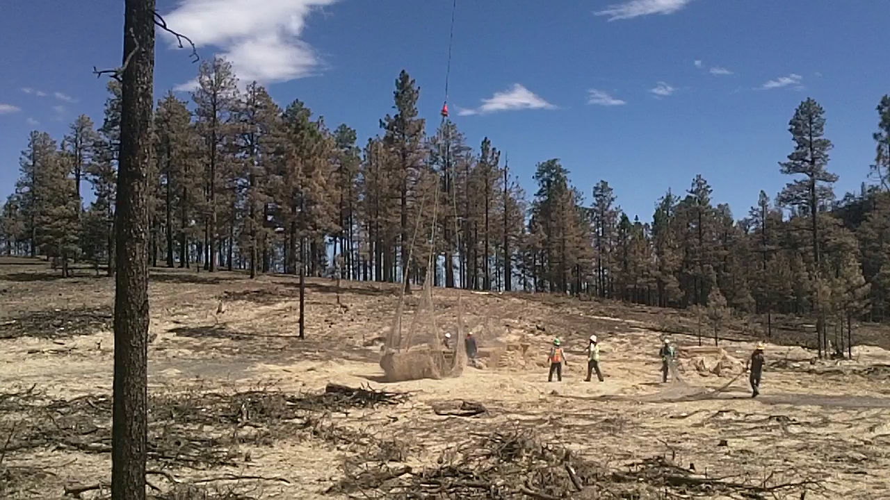
Straw Mulching on Hwy 261
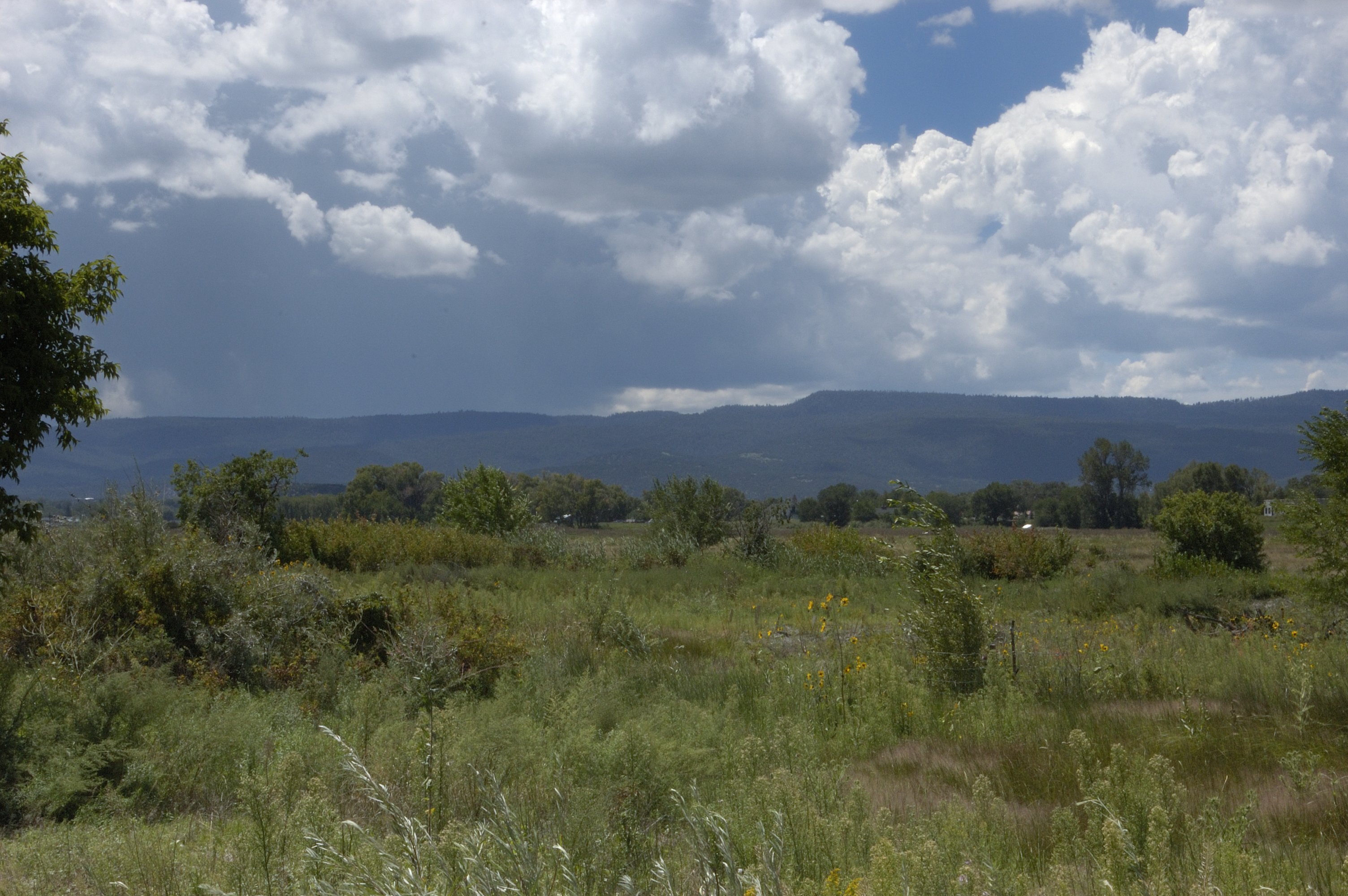
Aug 24 Becker Lake Wildlife Area
29CW5443.jpg
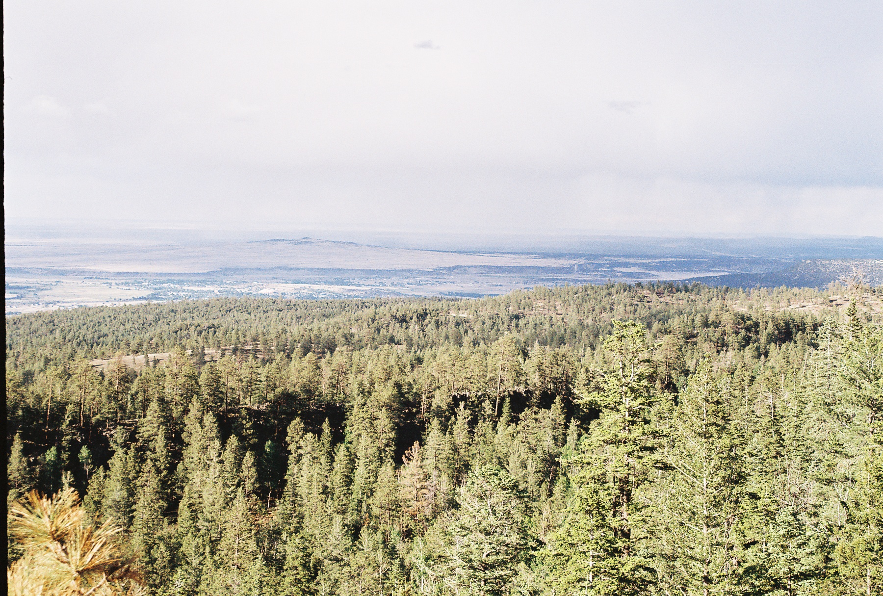
Apache National Forest, Arizona
29CW5440.jpg

29CW5441.jpg
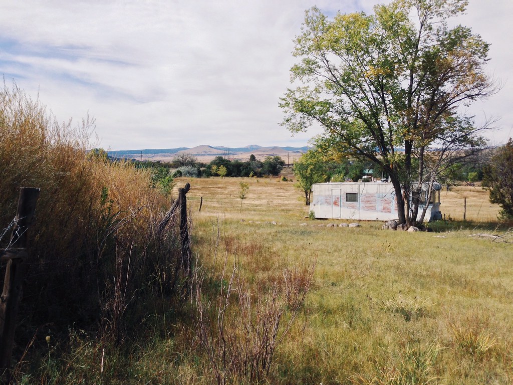
Abandoned Trailer in Eagar
Topographic Map of Park Pl, Springerville, AZ, USA
Find elevation by address:

Places near Park Pl, Springerville, AZ, USA:
62 Us-180
30 Chiricahua Dr
E Main St, Springerville, AZ, USA
Eagar
Springerville
1019 Rencher St
41357 Us-180
US-, Nutrioso, AZ, USA
Nutrioso
Mly Ranch
U.s. 191
8 Forest Service Rd 81
Rolfe C. Hoyer Campground
600 Northwoods Rd
90 Main St, Greer, AZ, USA
Greer
42627 Us-180
Alpine
US-, Alpine, AZ, USA
Mountain Hi Lodge
Recent Searches:
- Elevation of Corso Fratelli Cairoli, 35, Macerata MC, Italy
- Elevation of Tallevast Rd, Sarasota, FL, USA
- Elevation of 4th St E, Sonoma, CA, USA
- Elevation of Black Hollow Rd, Pennsdale, PA, USA
- Elevation of Oakland Ave, Williamsport, PA, USA
- Elevation of Pedrógão Grande, Portugal
- Elevation of Klee Dr, Martinsburg, WV, USA
- Elevation of Via Roma, Pieranica CR, Italy
- Elevation of Tavkvetili Mountain, Georgia
- Elevation of Hartfords Bluff Cir, Mt Pleasant, SC, USA