Elevation of Mountain Hi Lodge, US-, Alpine, AZ, USA
Location: United States > Arizona > Apache County > Alpine >
Longitude: -109.13773
Latitude: 33.8457407
Elevation: 2435m / 7989feet
Barometric Pressure: 75KPa
Elevation Map:
Satellite Map:
Related Photos:
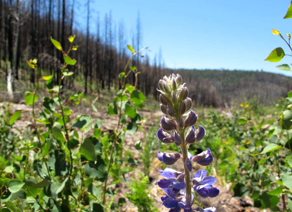
Life Returns
Long Slow Recovery
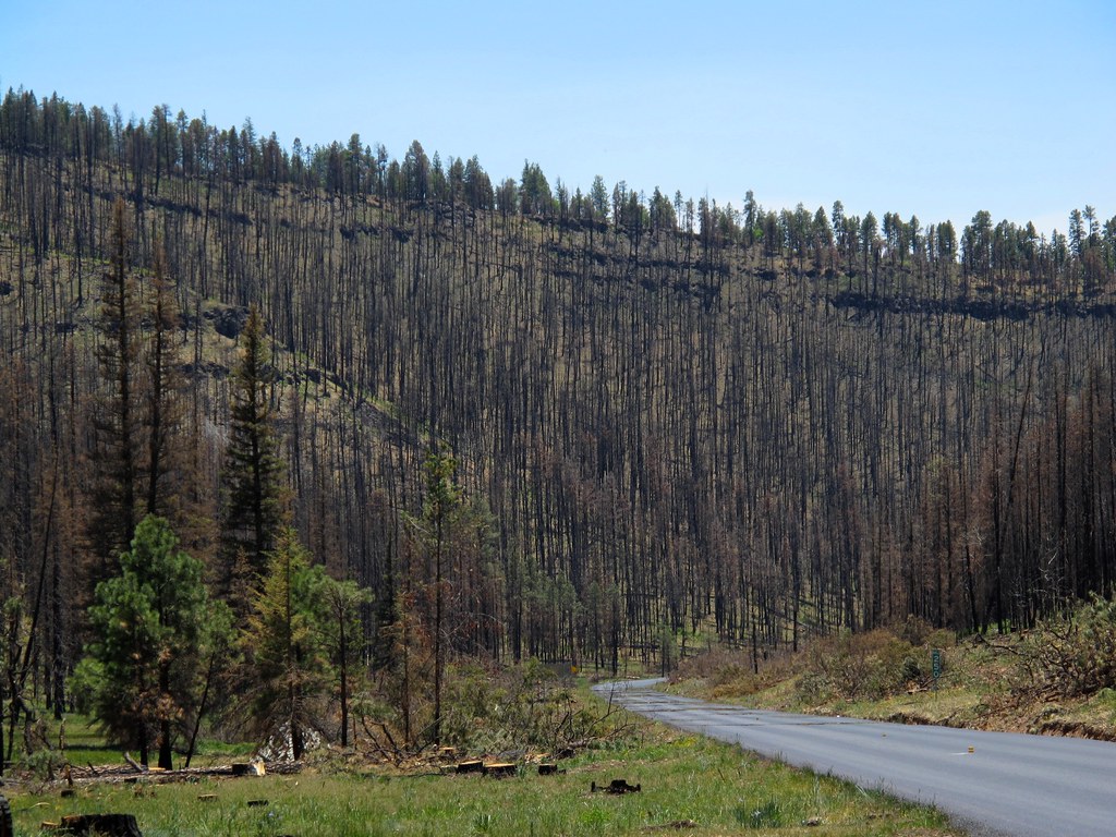
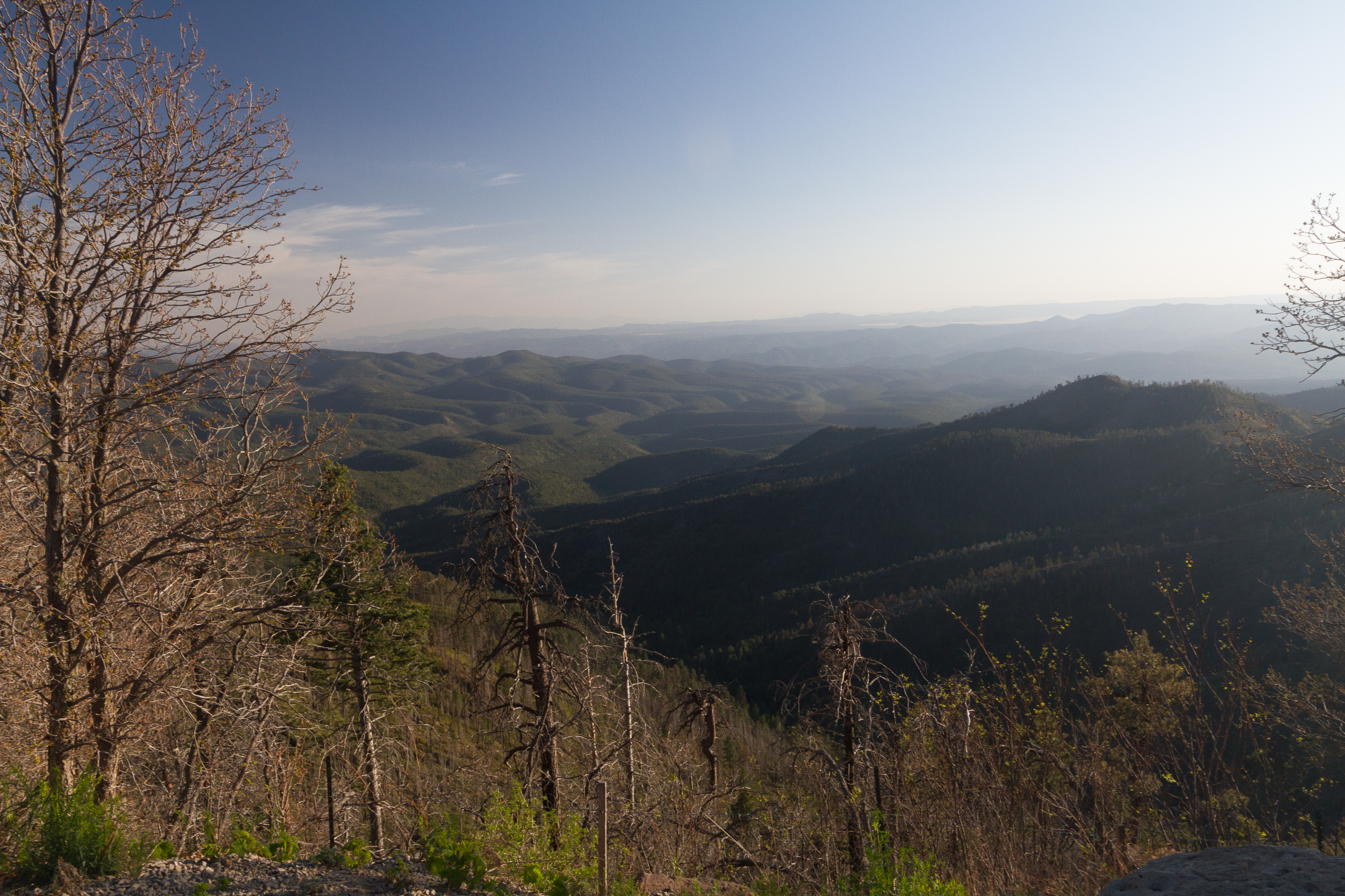
Torched - 1 Year Later
It's rare to see something like this without an airplane window in the way
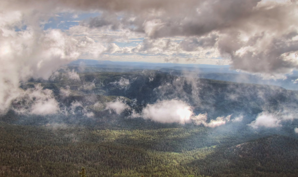
View from Escudilla fire tower
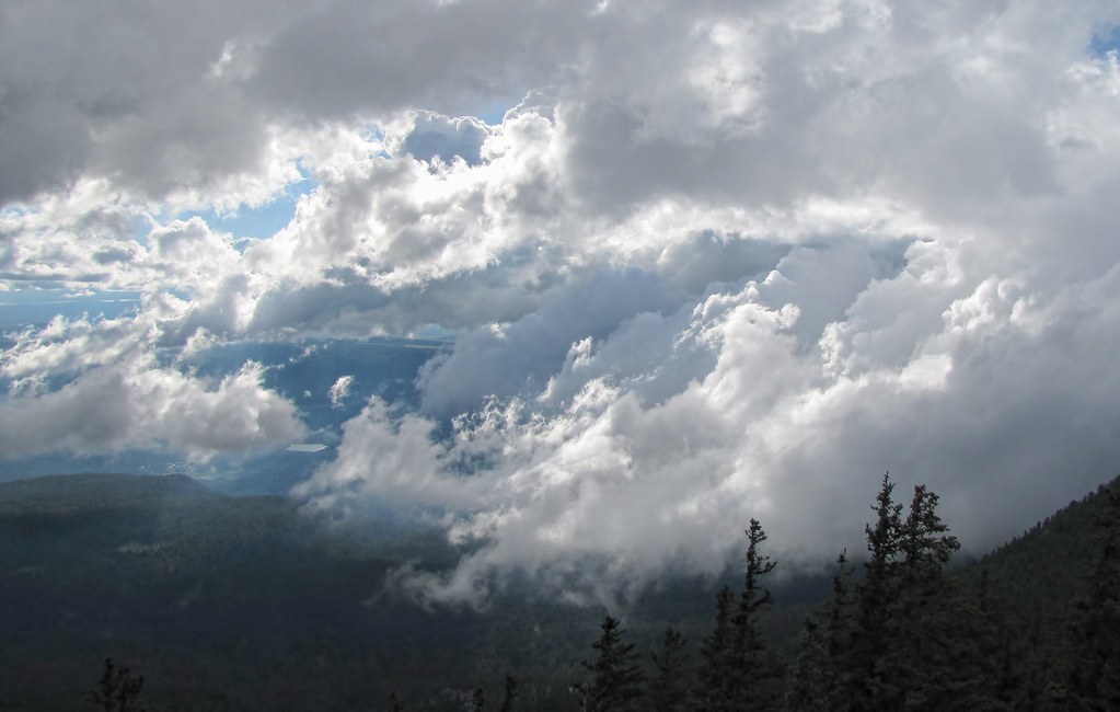
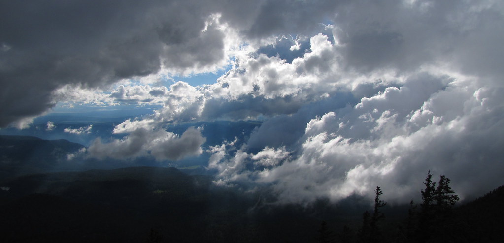
Up in the weather
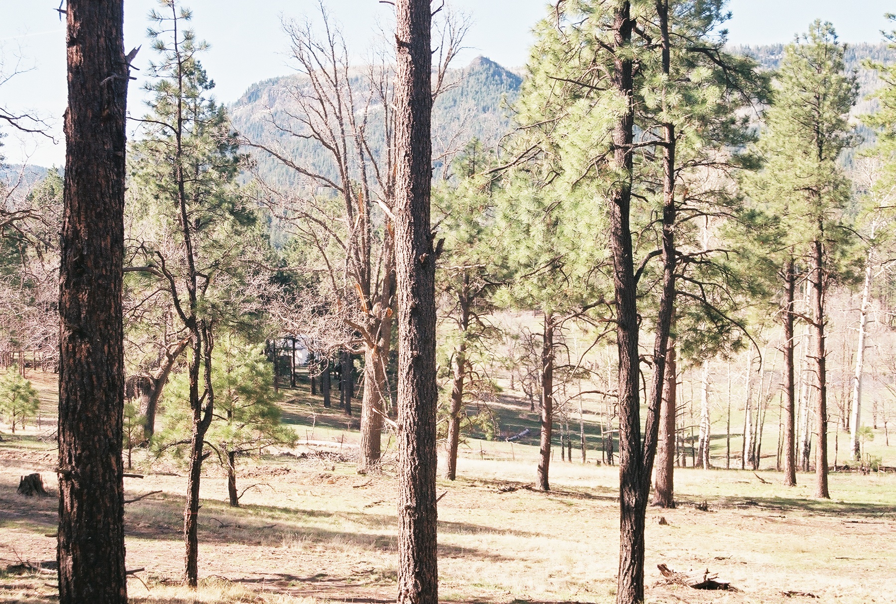
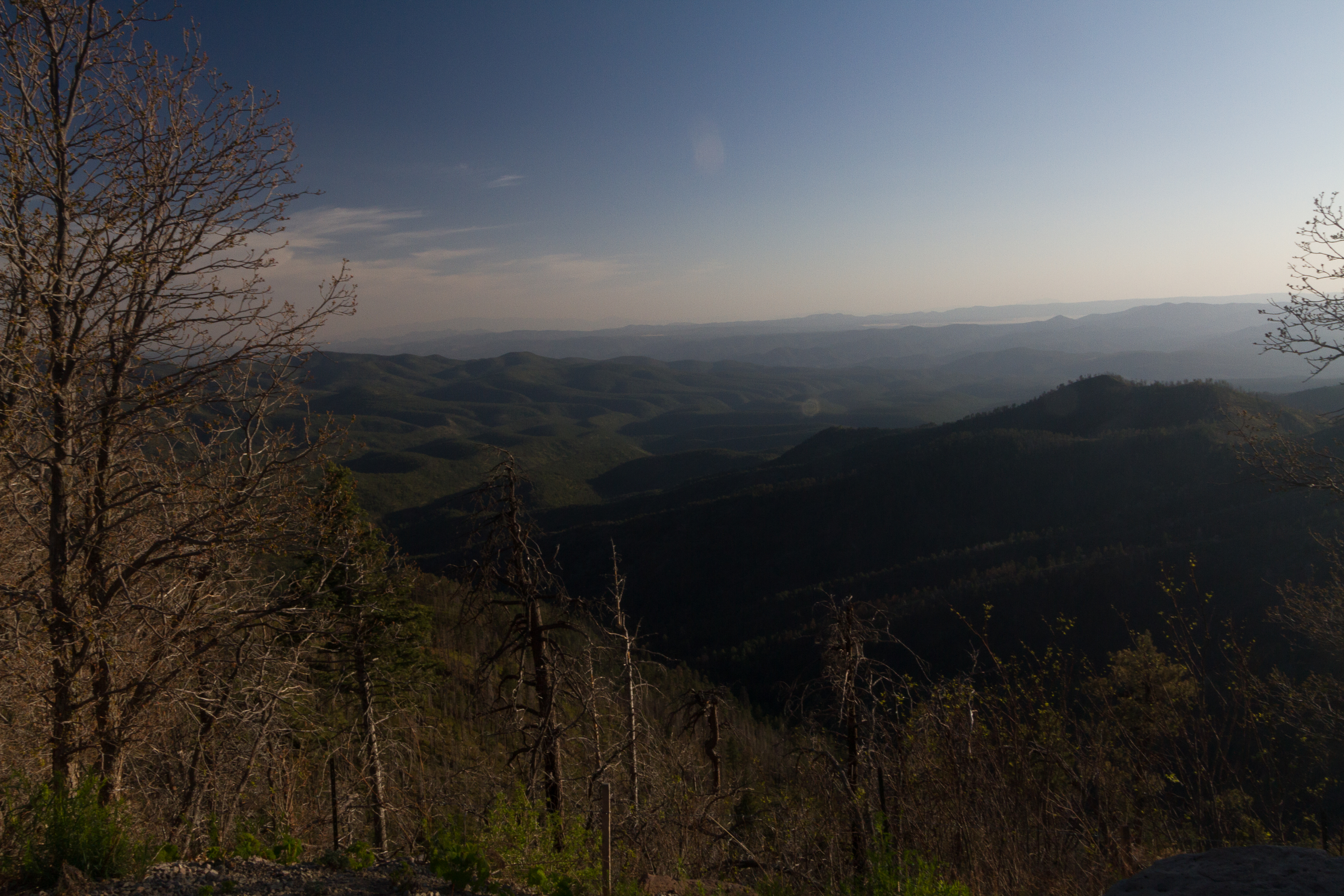
Apache National Forest, Arizona
Apache National Forest, Arizona
Alpine Az

Nutrioso Az

Fire Lookout Panorama
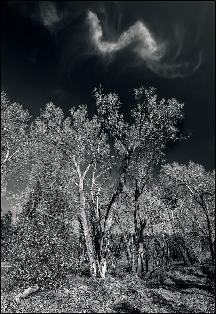
Cloud Wisps

Nutrioso Reservoir2
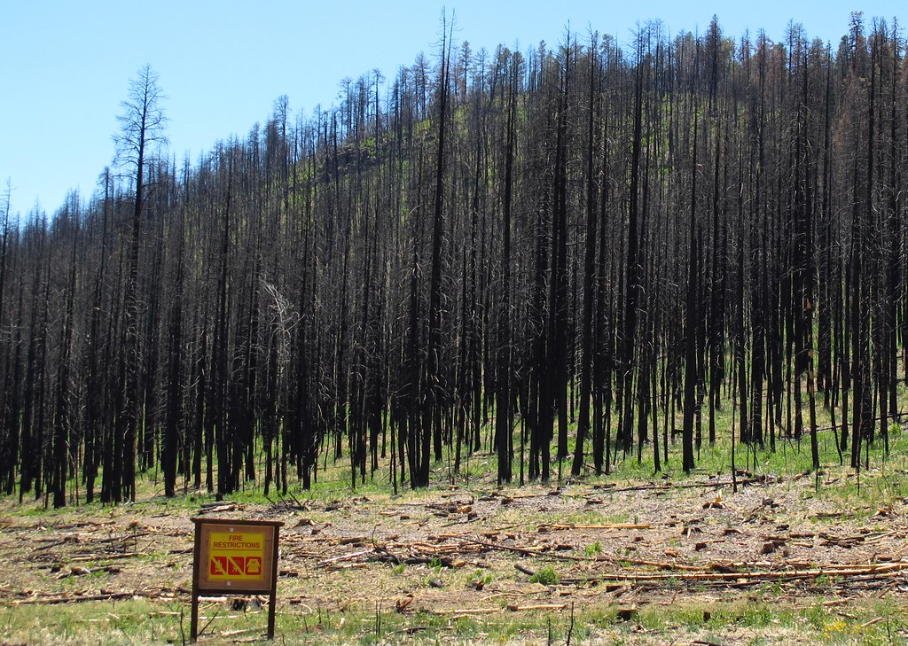
No Campfires
Coming out of the Blue River, Arizona
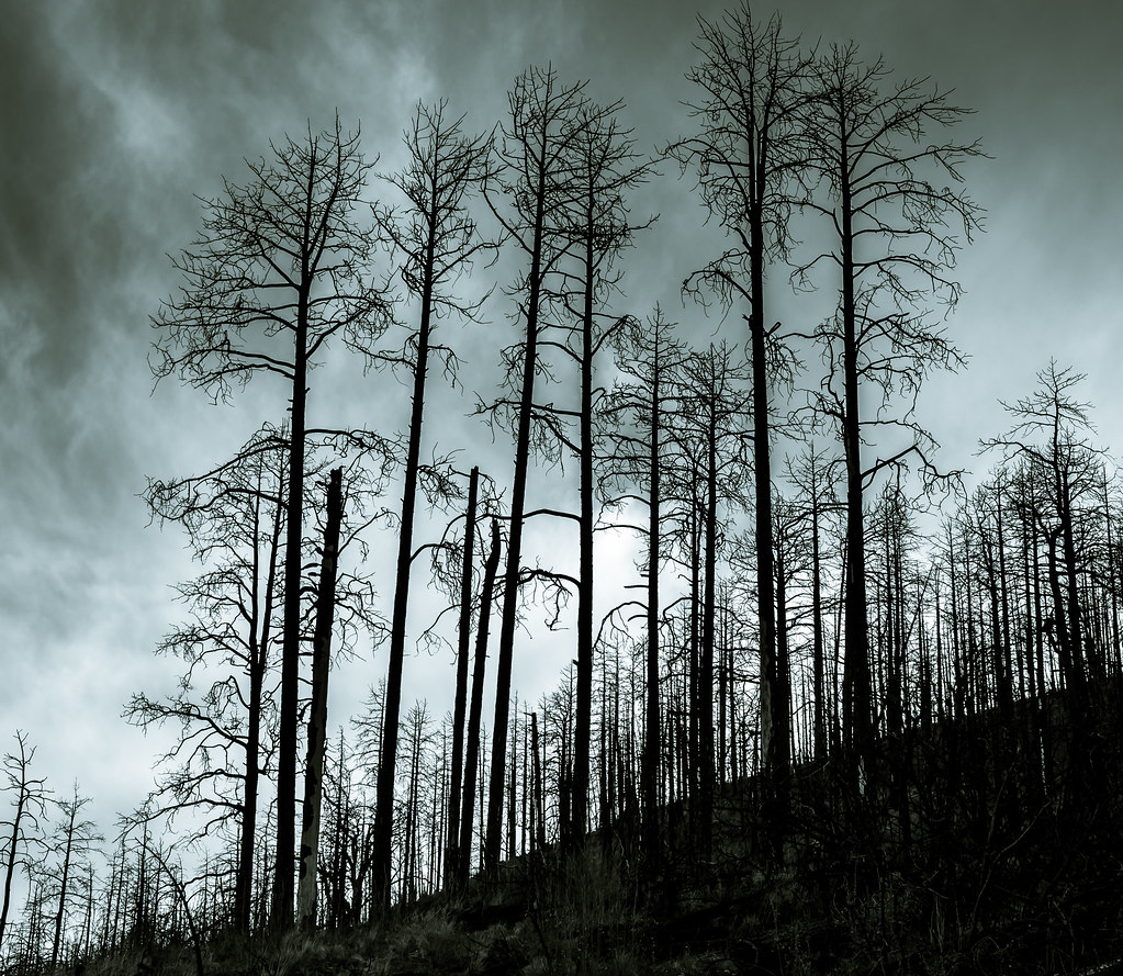
Scorched Sentinels
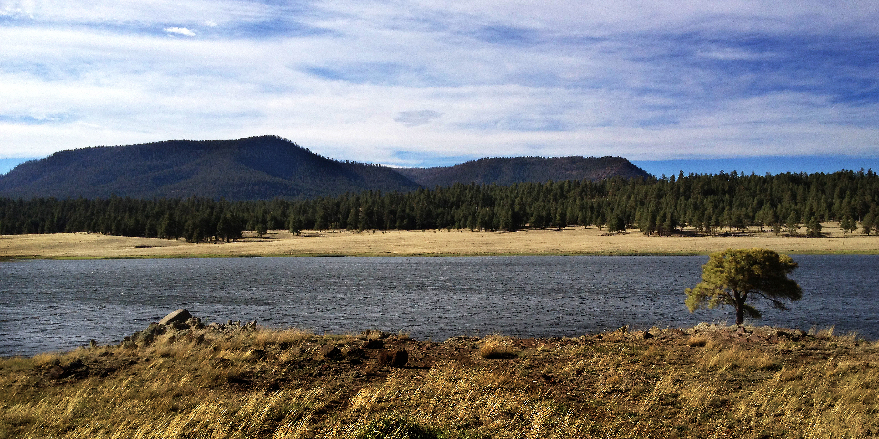
Sierra Blanca Lake, Arizona
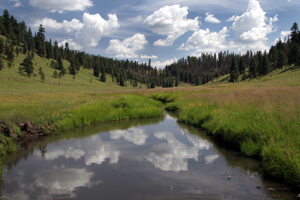
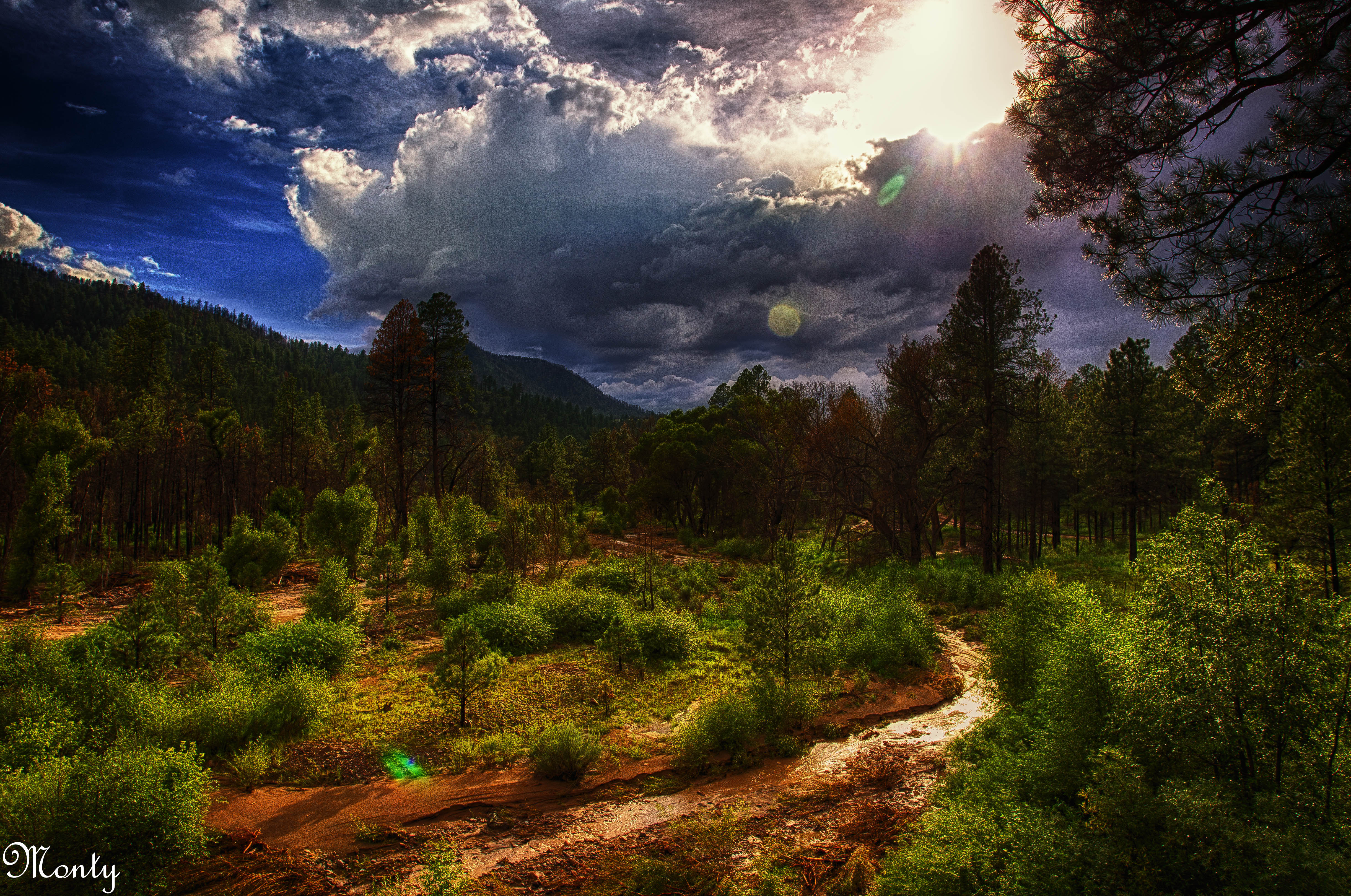
Boneyard Creek

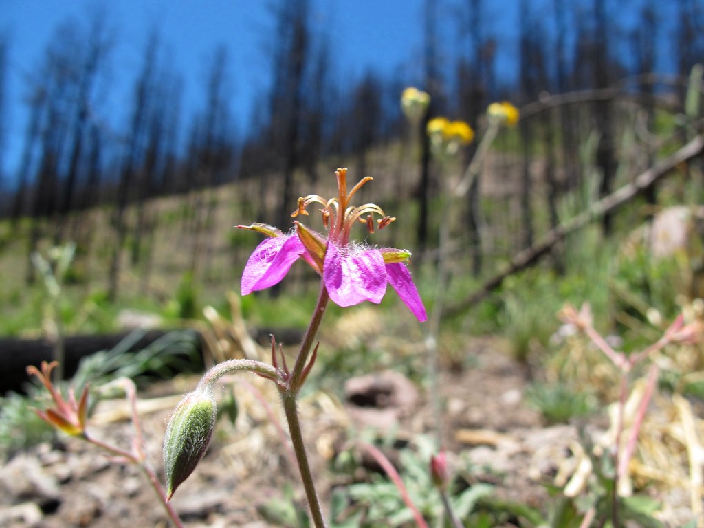
Wild Flowers, Crosby Crossing, Arizona
Take a chance
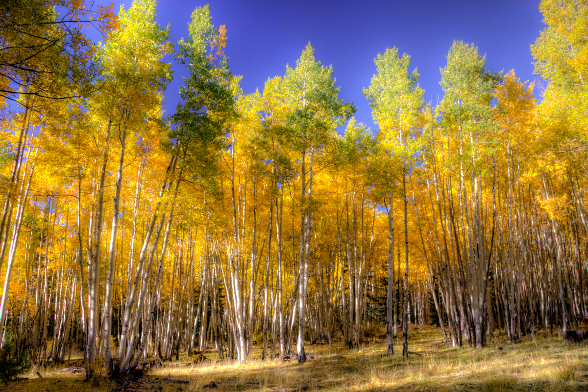
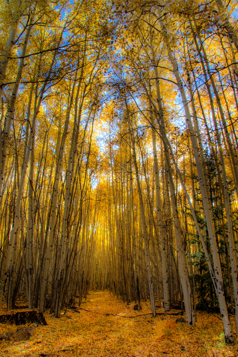
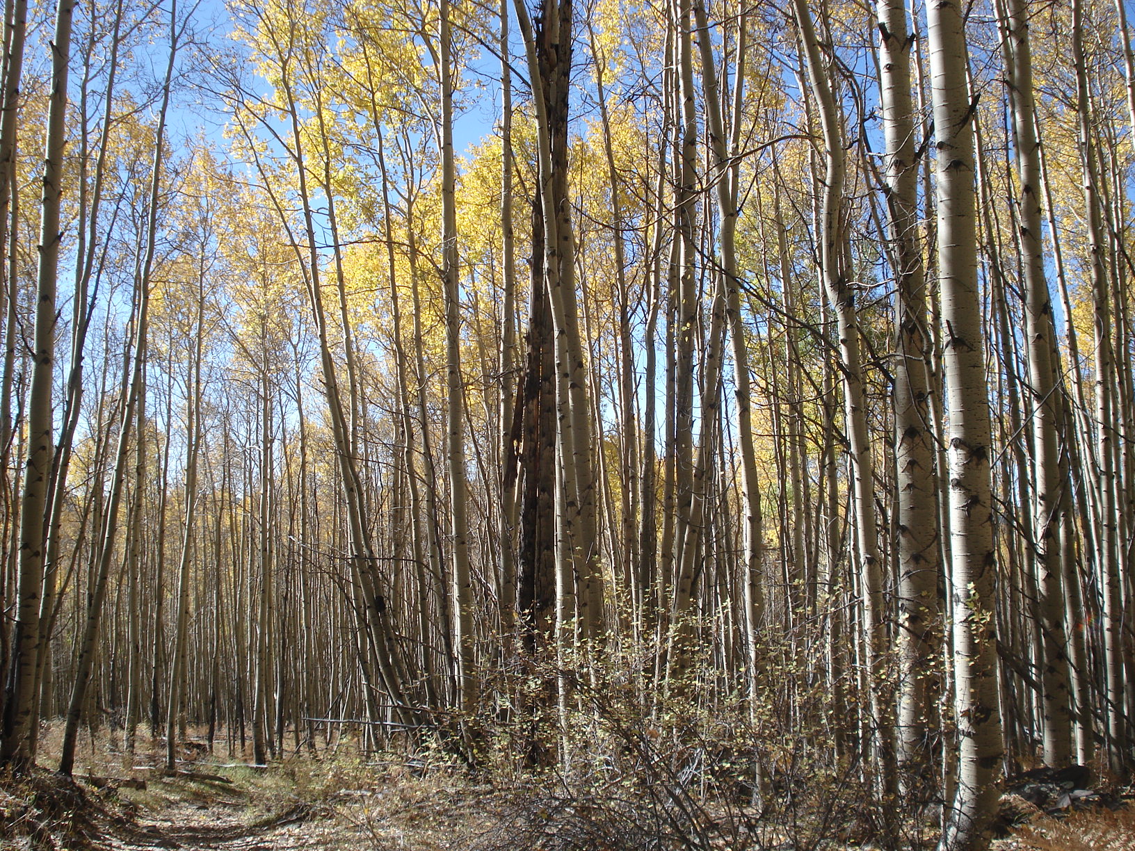
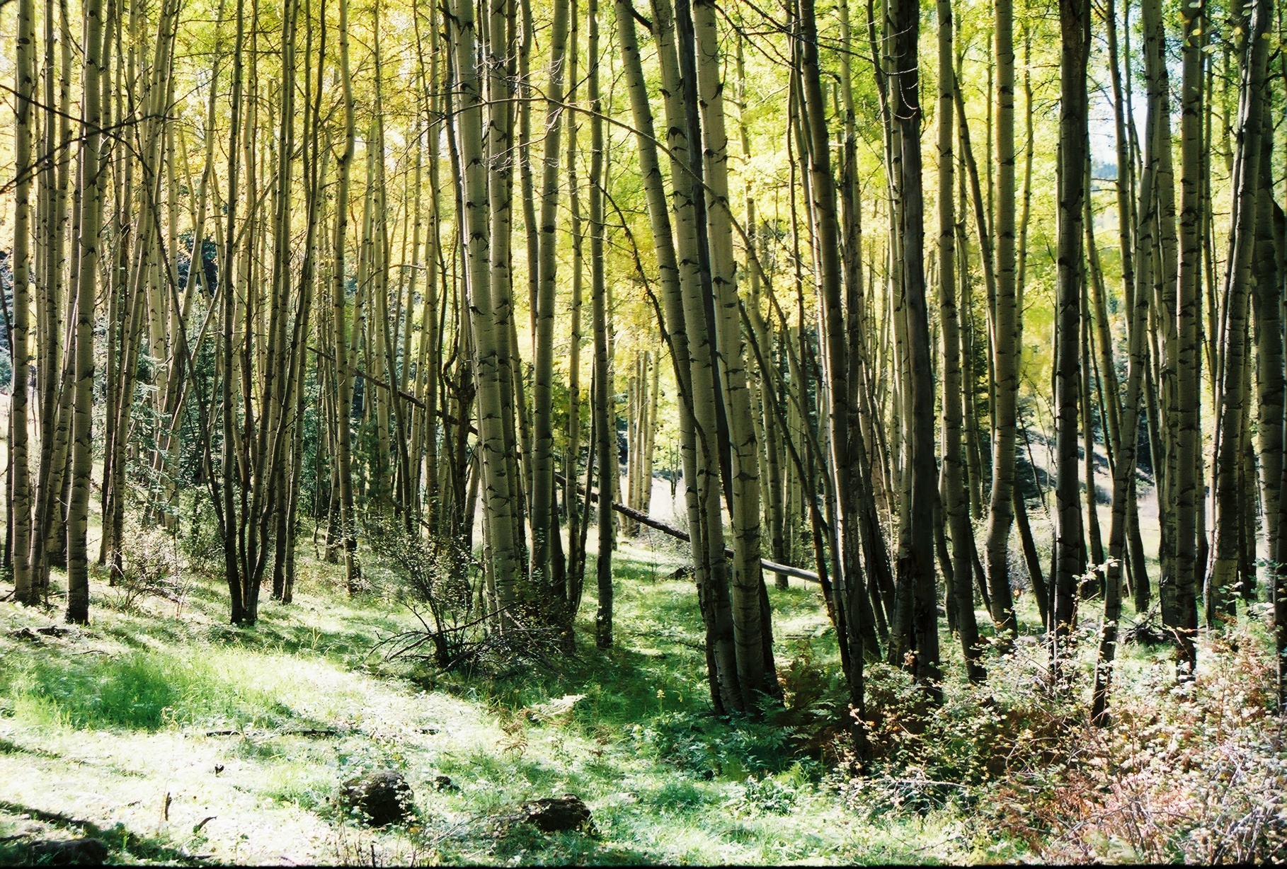
It's Aspen time!
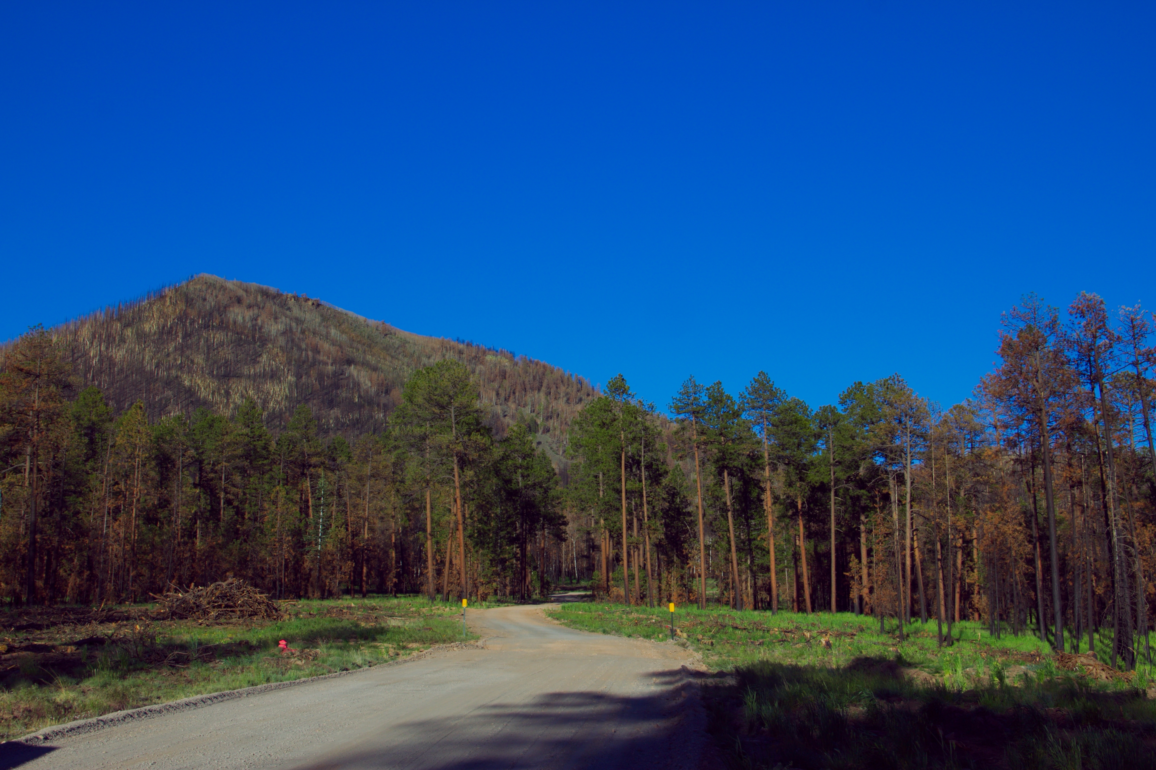
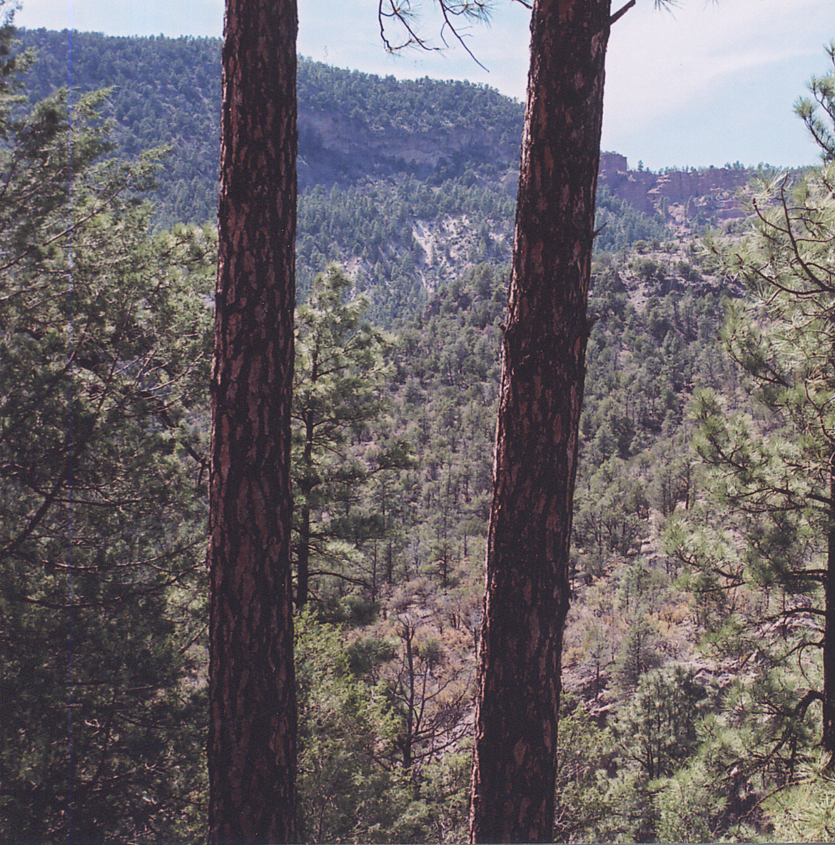
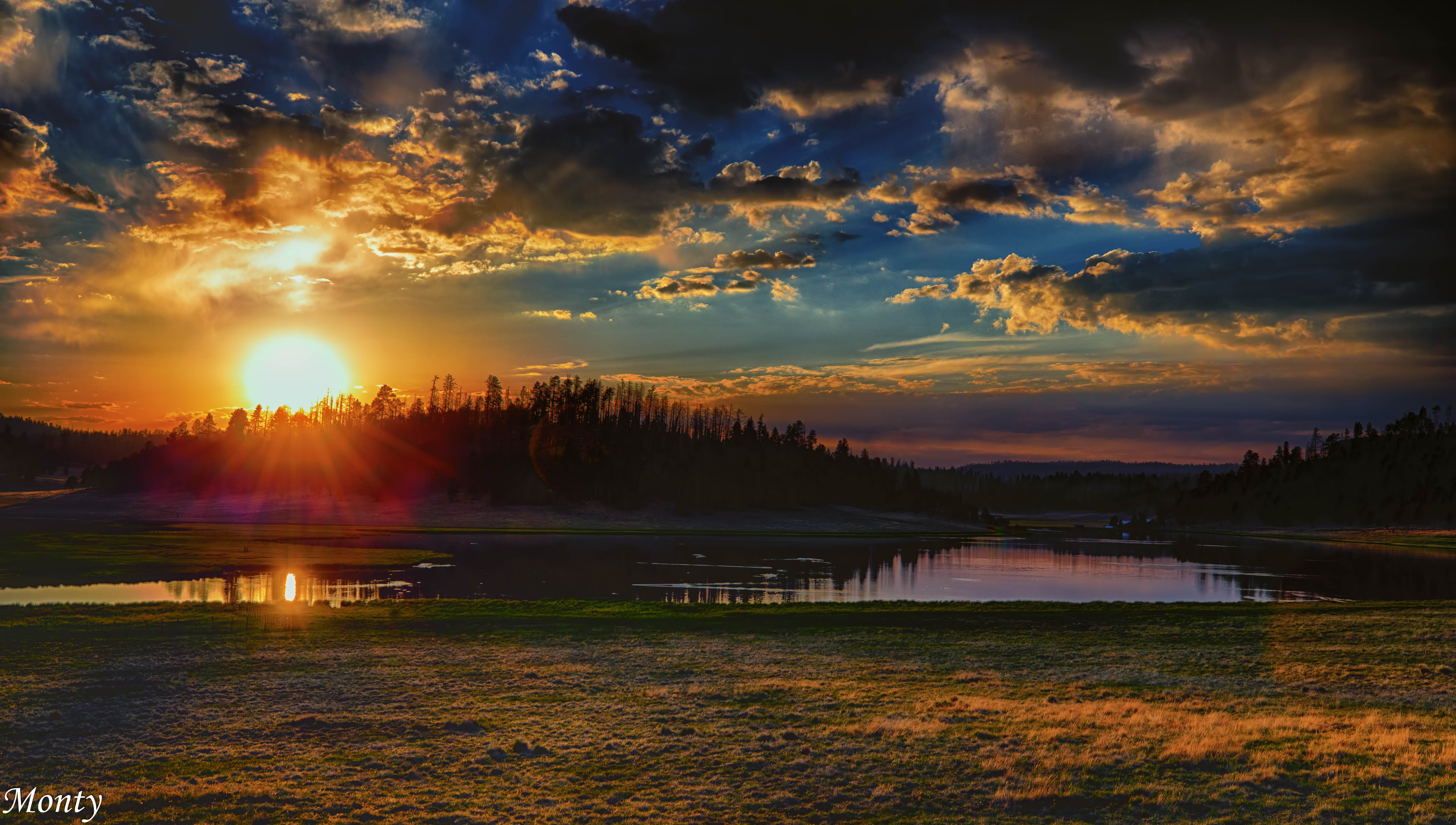
Escudilla after Wallow Fire
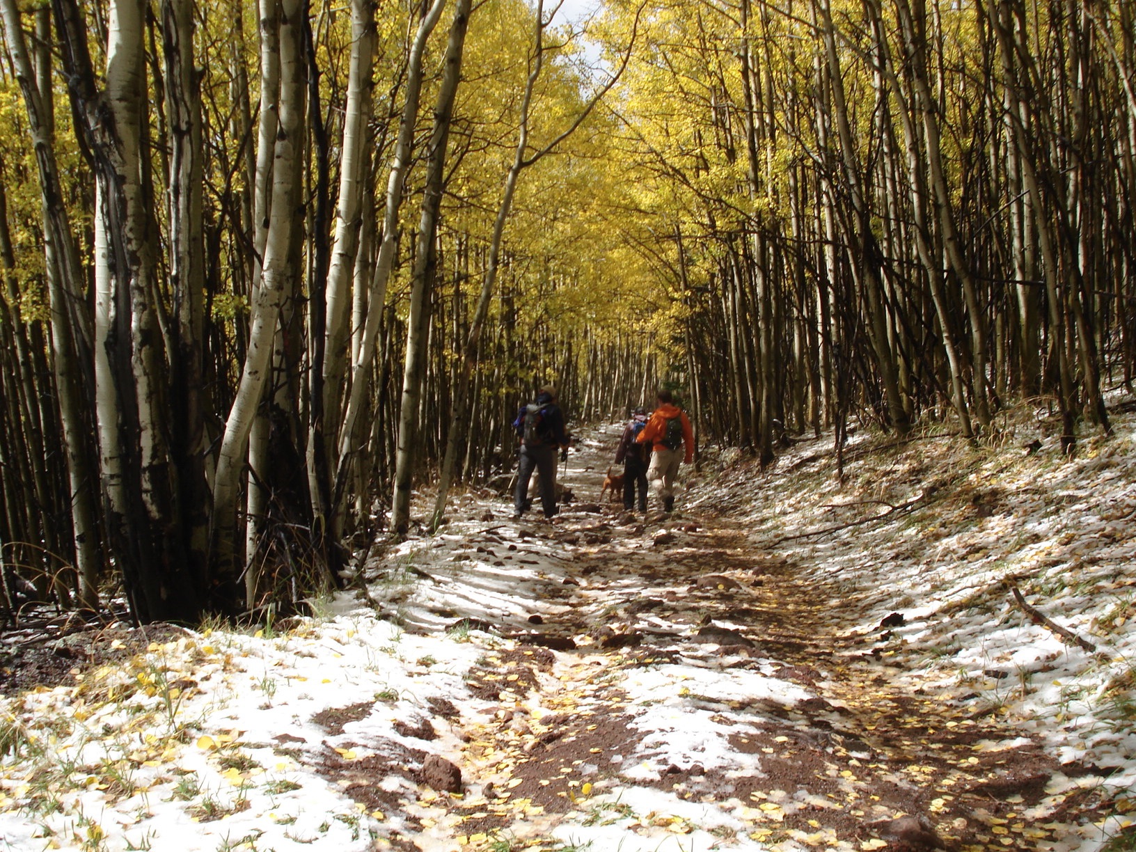
Walking through the Trees
Hiking Escudilla
untitled201205070229.jpg
HWY. 180
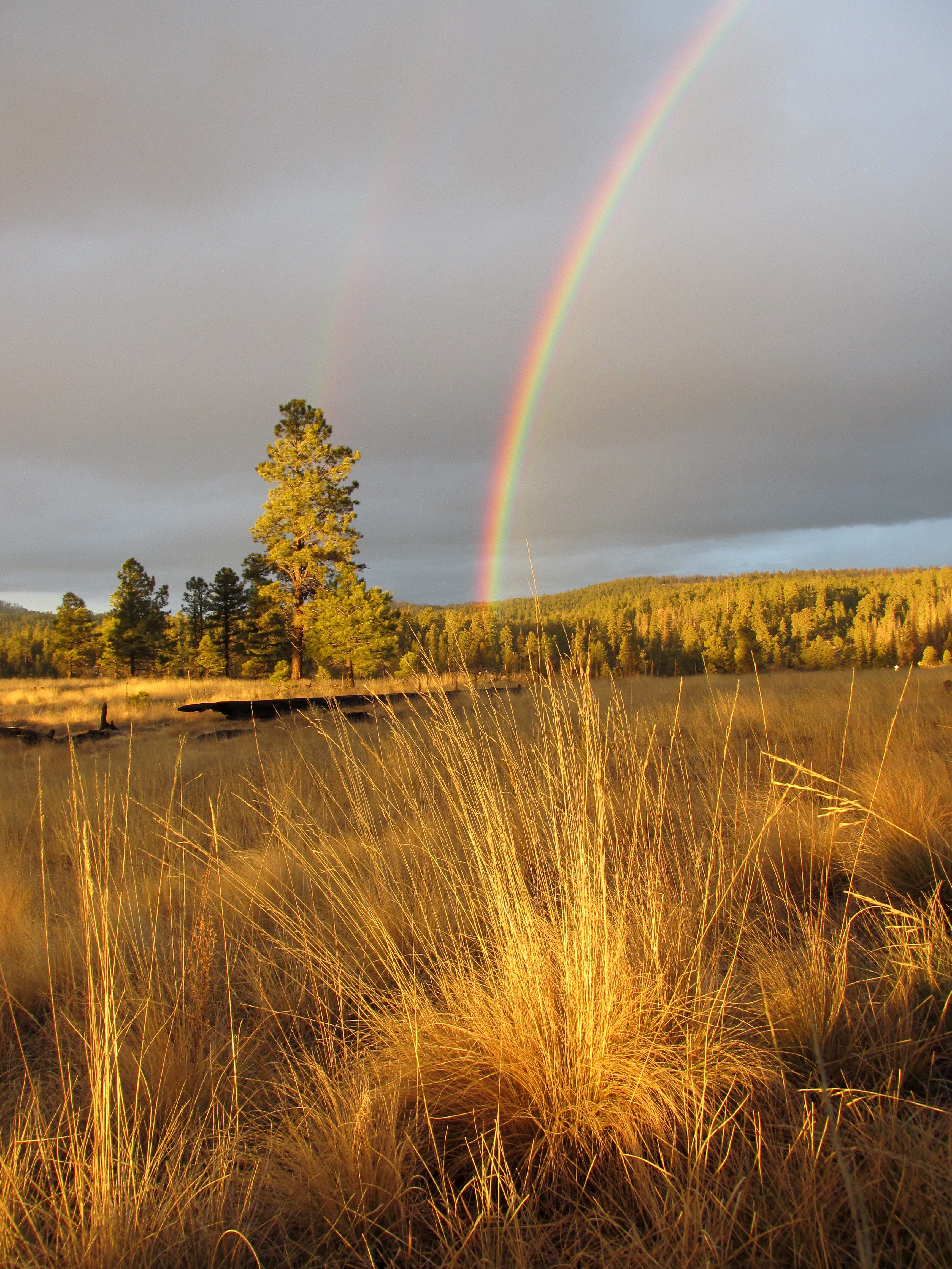
White Mountains rainbow

White Mountains rainbow
Sierra Blanca Lake
Apache National Forest, Arizona
untitled201205070230.jpg
Topographic Map of Mountain Hi Lodge, US-, Alpine, AZ, USA
Find elevation by address:

Places near Mountain Hi Lodge, US-, Alpine, AZ, USA:
US-, Alpine, AZ, USA
Alpine
42627 Us-180
County Road 2078
N2260
Luna Lake
Turner Peak
8 Forest Service Rd 81
U.s. 191
Nutrioso
US-, Nutrioso, AZ, USA
41357 Us-180
Aspen Campground
Luna
Bishop Peak
Red Butte
Jones Peak
1956 Park Pl
1019 Rencher St
Eagar
Recent Searches:
- Elevation of Corso Fratelli Cairoli, 35, Macerata MC, Italy
- Elevation of Tallevast Rd, Sarasota, FL, USA
- Elevation of 4th St E, Sonoma, CA, USA
- Elevation of Black Hollow Rd, Pennsdale, PA, USA
- Elevation of Oakland Ave, Williamsport, PA, USA
- Elevation of Pedrógão Grande, Portugal
- Elevation of Klee Dr, Martinsburg, WV, USA
- Elevation of Via Roma, Pieranica CR, Italy
- Elevation of Tavkvetili Mountain, Georgia
- Elevation of Hartfords Bluff Cir, Mt Pleasant, SC, USA