Elevation of County Road, Co Rd, Arizona, USA

Location: United States > Arizona > Apache County > Alpine >

Longitude: -109.12723

Latitude: 33.8291999

Elevation: 2442m / 8012feet

Barometric Pressure: 75KPa

Elevation Map:

elevation map of County Road, Co Rd, Arizona, USA

Satellite Map:

Satellite map of County Road, Co Rd, Arizona, USA

Related Photos:

arizona clouds alpine firetower 7days6nights escudillamountain 7days6nightsaz escudillamountaintrail
It's rare to see something like this without an airplane window in the way
arizona southwest flower detail macro nature closeup forest outdoors fire destruction whitemountains aspen exploration wildflower discovery climatechange burned recovery lupine survivor torched devastation wildfire silverylupine lupinusargenteus deadtrees regrowth quakingaspen populustremuloides lifereturns 1yearlater apachecounty apachenationalforest zoniedude1 canonpowershotg11 earthnaturelife wallowfire silverstemlupine ecosystemreset
Long Slow Recovery
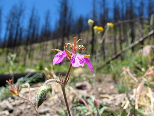
arizona southwest flower detail macro nature closeup forest outdoors fire destruction whitemountains exploration wildflower discovery climatechange survivor torched devastation wildfire deadtrees wildgeranium regrowth geraniumcaespitosum lifereturns 1yearlater apachecounty apachenationalforest pineywoodsgeranium zoniedude1 arizonapassages canonpowershotg11 earthnaturelife wallowfire ecosystemreset
Life Returns
arizona clouds alpine firetower 7days6nights escudillamountain 7days6nightsaz escudillamountaintrail
Up in the weather
arizona southwest nature forest landscape outdoors fire destruction whitemountains exploration discovery climatechange torched devastation wildfire deadtrees 1yearlater apachecounty apachenationalforest crownfire nocampfires zoniedude1 canonpowershotg11 earthnaturelife extremedrought wallowfire ecosystemreset highintensityburnzone
No Campfires
arizona southwest nature forest landscape outdoors fire destruction whitemountains exploration discovery climatechange torched devastation wildfire deadtrees hwy191 1yearlater apachecounty apachenationalforest crownfire zoniedude1 arizonapassages canonpowershotg11 earthnaturelife extremedrought wallowfire ecosystemreset highintensityburnzone
Torched - 1 Year Later
arizona clouds alpine hdr firetower 7days6nights escudillamountain profanityridge 7days6nightsaz escudillamountaintrail
View from Escudilla fire tower
arizona forest apache national
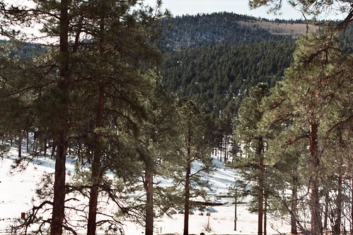
Apache National Forest, Arizona
arizona apachenationalforest
Apache National Forest, Arizona
arizona apachenationalforest
Apache National Forest, Arizona
arizona apachenationalforest
Apache National Forest, Arizona
golf cabin alpine
View from the 1st tee box
iwanttodothiswow luna lake arizona landscape sunset alpine
I Believe in you :)
Sierra Blanca Lake, Arizona
Scorched Sentinels
arizona fall leaves yellow geotagged autum change aspen quakingaspen 40d escudillamountain
Take a chance
Coming out of the Blue River, Arizona
Autumn's Glow
Nutrioso Reservoir2
whitemountains arizona bw
Cloud Wisps
Wild Flowers, Crosby Crossing, Arizona
arizona fall leaves yellow autum change aspen quakingaspen escudillamountain
It's Aspen time!
square lofi squareformat iphoneography instagramapp uploaded:by=instagram
Terry Flat, Apache-Sitgreaves NF, AZ
square squareformat ludwig iphoneography instagramapp uploaded:by=instagram
Profanity Ridge on Escudilla Mt, Apache-Sitgreaves NF, AZ
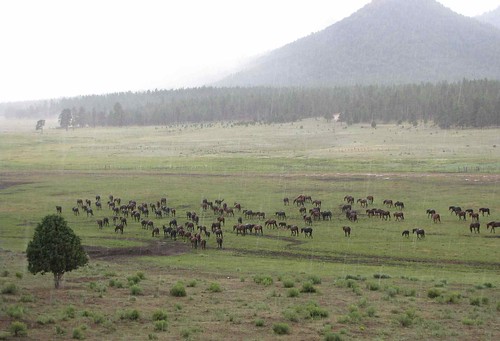
arizona horses plants usa mountains animals landscapes unitedstatesofamerica gps mammals 2009
Herd of Horses in the Rain
wedding arizona usa cloud lake plant southwest tree water grass pine forest landscape boat flora rocks honeymoon hill alpine geology mogollonrim ponderosapine lunalake
Fishing the Summer Away
arizona hiking trail alpine aspens aspen 7days6nights escudillamountain 7days6nightsaz escudillamountaintrail
Young Aspens
arizona trail alpine aspens aspen 7days6nights escudillamountain 7days6nightsaz escudillamountaintrail
Beautiful Trail
White Mountains rainbow
Escudilla after Wallow Fire
White Mountains rainbow