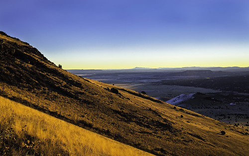
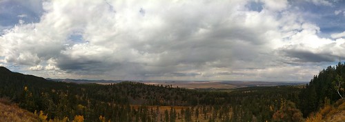
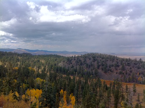
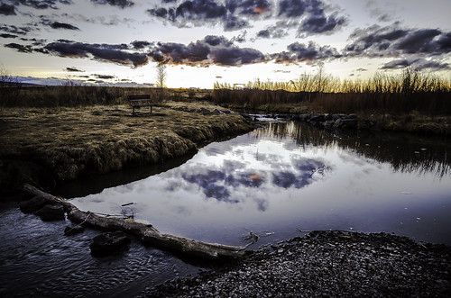
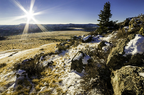
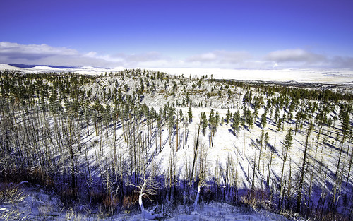
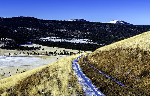
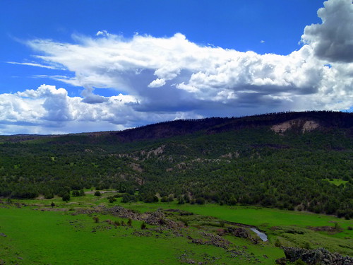
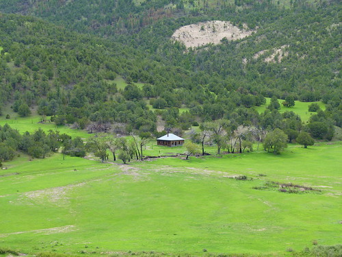
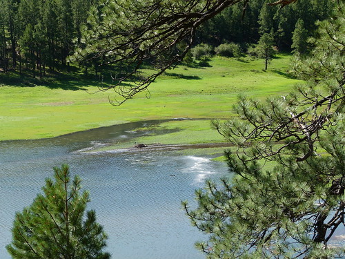
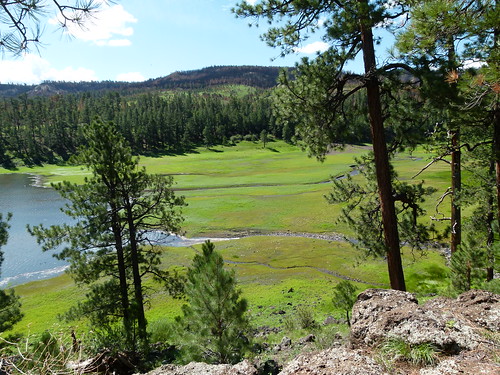
Elevation of Eagar, AZ, USA
Location: United States > Arizona > Apache County >
Longitude: -109.29147
Latitude: 34.1111581
Elevation: 2160m / 7087feet
Barometric Pressure: 78KPa
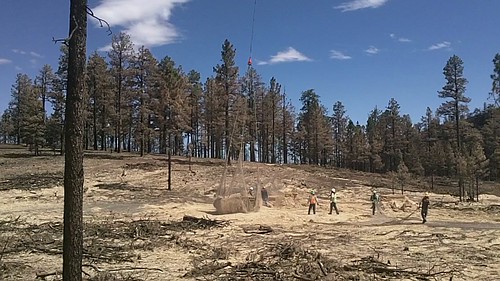
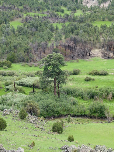
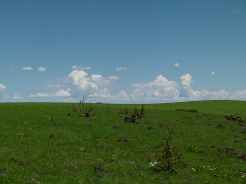
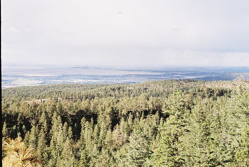
Related Photos:
Topographic Map of Eagar, AZ, USA
Find elevation by address:

Places near Eagar, AZ, USA:
1019 Rencher St
E Main St, Springerville, AZ, USA
Springerville
30 Chiricahua Dr
62 Us-180
1956 Park Pl
Mly Ranch
41357 Us-180
US-, Nutrioso, AZ, USA
Nutrioso
Rolfe C. Hoyer Campground
600 Northwoods Rd
U.s. 191
90 Main St, Greer, AZ, USA
Greer
8 Forest Service Rd 81
Greens Peak
42627 Us-180
Alpine
US-, Alpine, AZ, USA
Recent Searches:
- Elevation of Corso Fratelli Cairoli, 35, Macerata MC, Italy
- Elevation of Tallevast Rd, Sarasota, FL, USA
- Elevation of 4th St E, Sonoma, CA, USA
- Elevation of Black Hollow Rd, Pennsdale, PA, USA
- Elevation of Oakland Ave, Williamsport, PA, USA
- Elevation of Pedrógão Grande, Portugal
- Elevation of Klee Dr, Martinsburg, WV, USA
- Elevation of Via Roma, Pieranica CR, Italy
- Elevation of Tavkvetili Mountain, Georgia
- Elevation of Hartfords Bluff Cir, Mt Pleasant, SC, USA

