Elevation of Apache County Road, Apache County Rd, Arizona, USA
Location: United States > Arizona > Apache County > Saint Johns >
Longitude: -109.47947
Latitude: 34.5627239
Elevation: 1743m / 5718feet
Barometric Pressure: 82KPa
Elevation Map:
Satellite Map:
Related Photos:
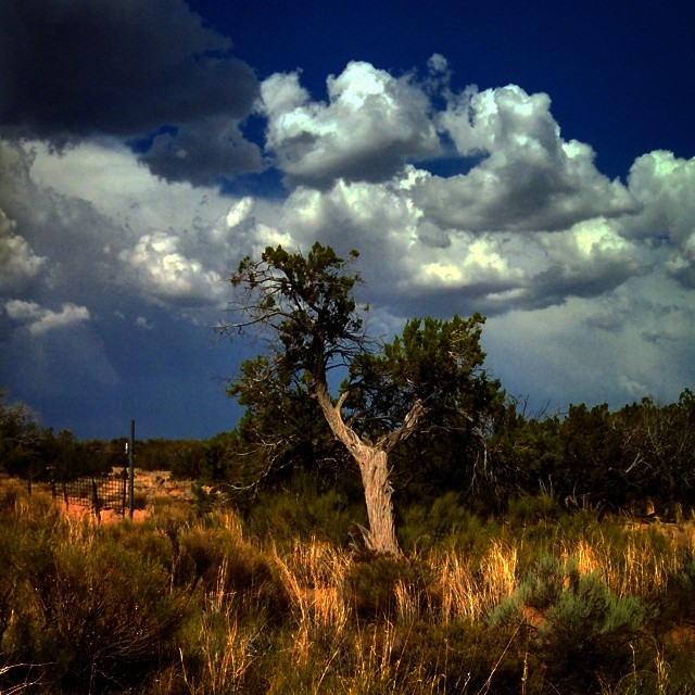
"Old Man Cedar " #CoffeeKen #JavaJourney2014 #adventuretoanywhere #environmentaz #arizonahighways #wildernessquest #mountainquest #travelphoto #bali_wanderlust #visitmesa #outdoors #traveltreasures #wanderlust
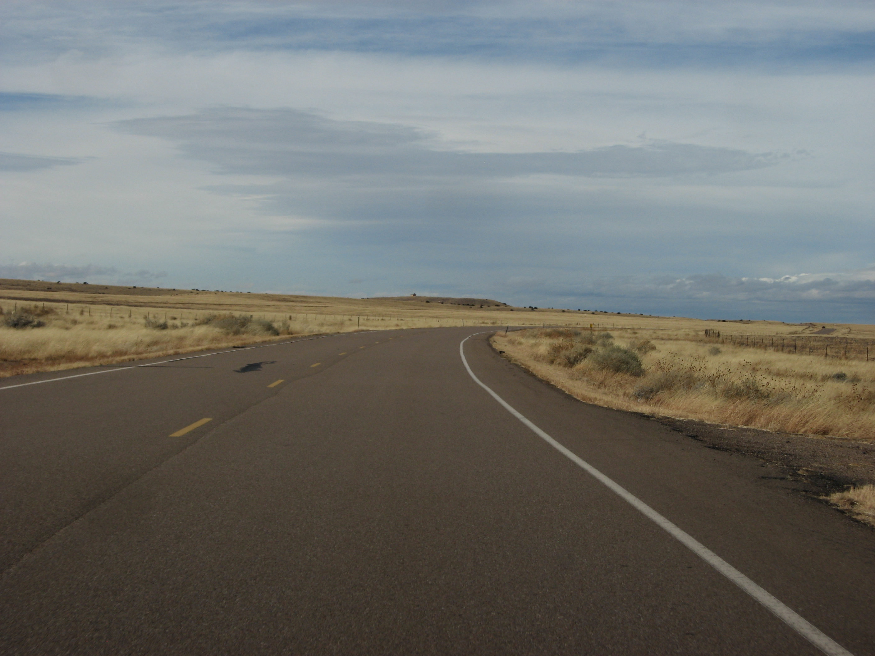
Arizona State Route 61 Between St. Johns and Concho, Arizona 6
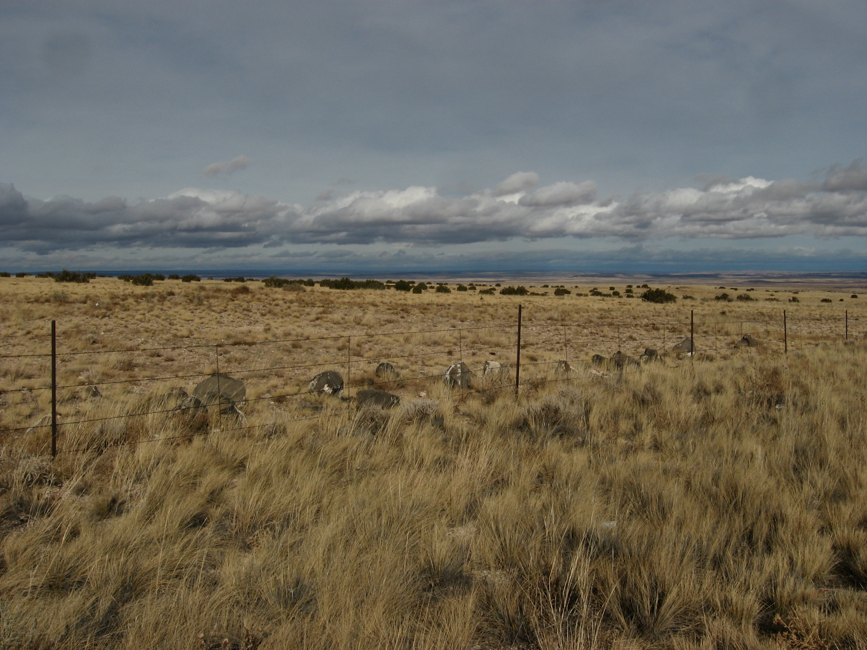
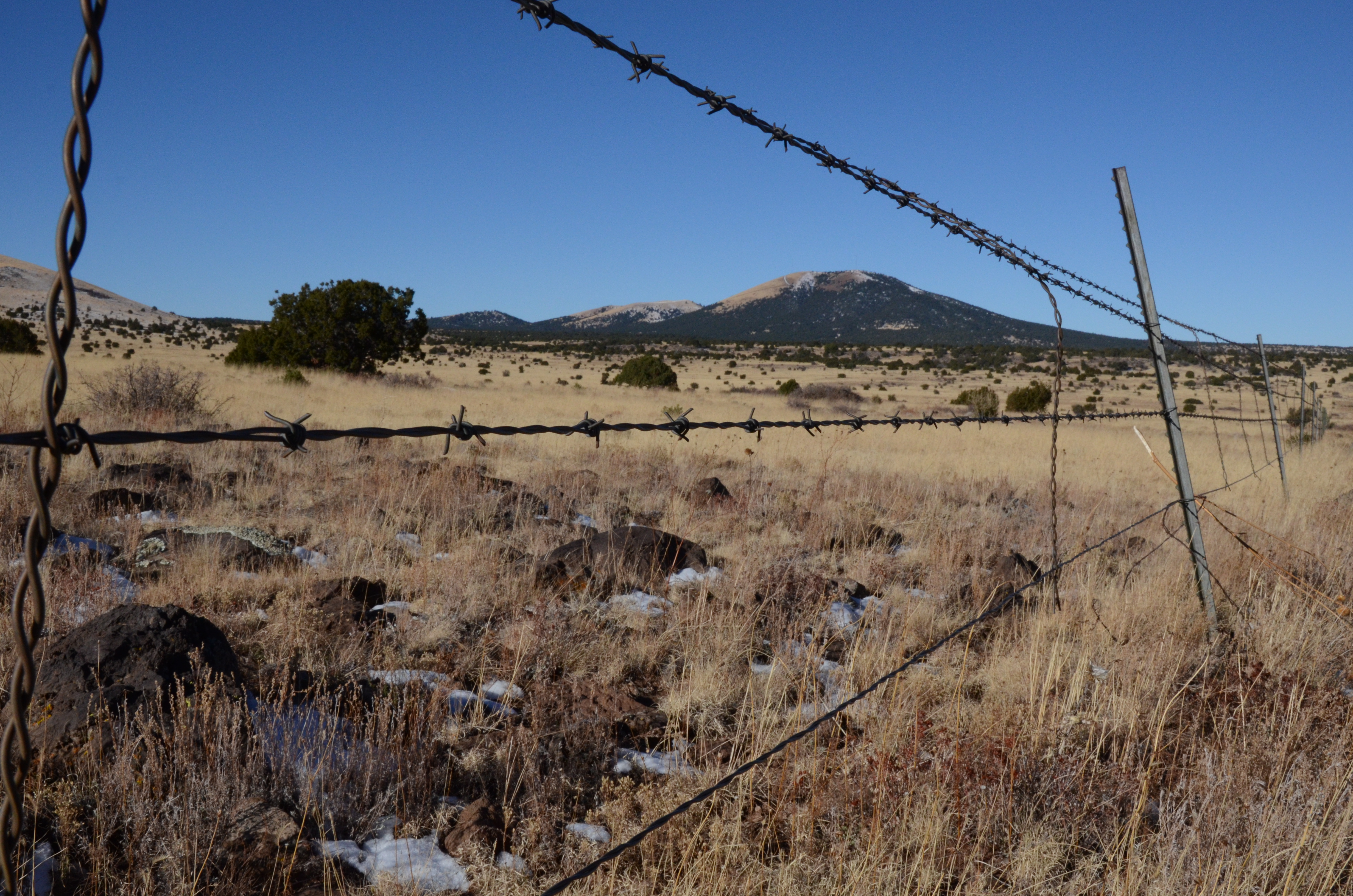
Beautiful Pasture Immediately South of St. Johns, Arizona 2
Arizona State Route 61 Between St. Johns and Concho, Arizona 3
Thanksgiving in AZ 410
County Route 5020 Between State Route 61 and Snowflake, Arizona
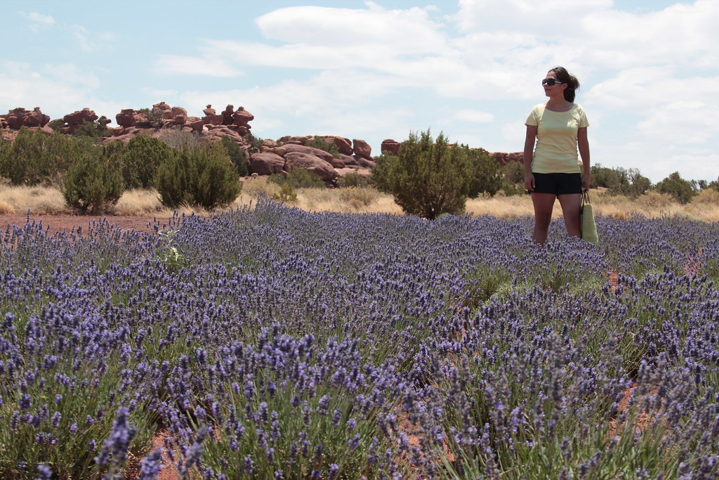
Lavender Festival
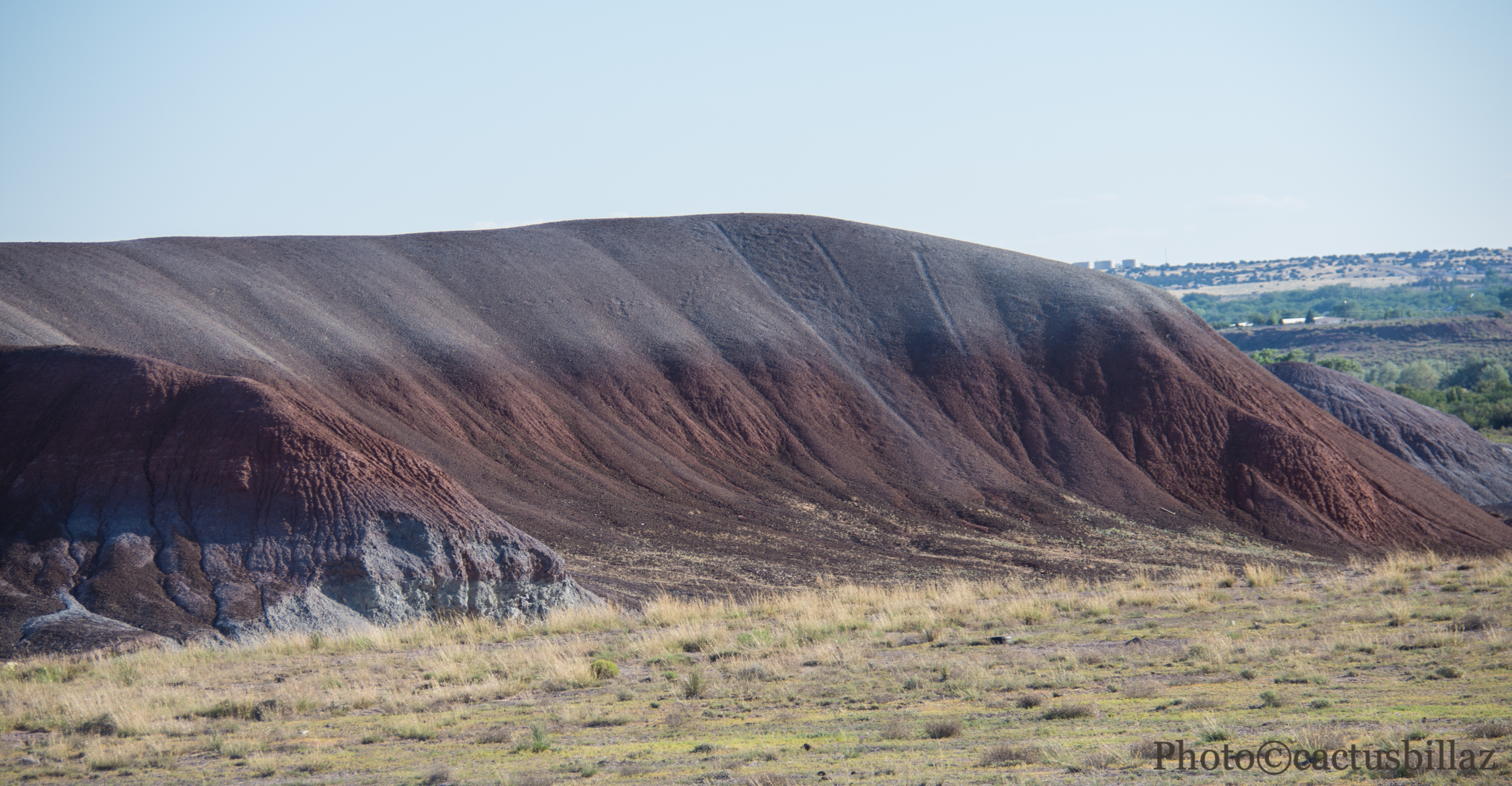
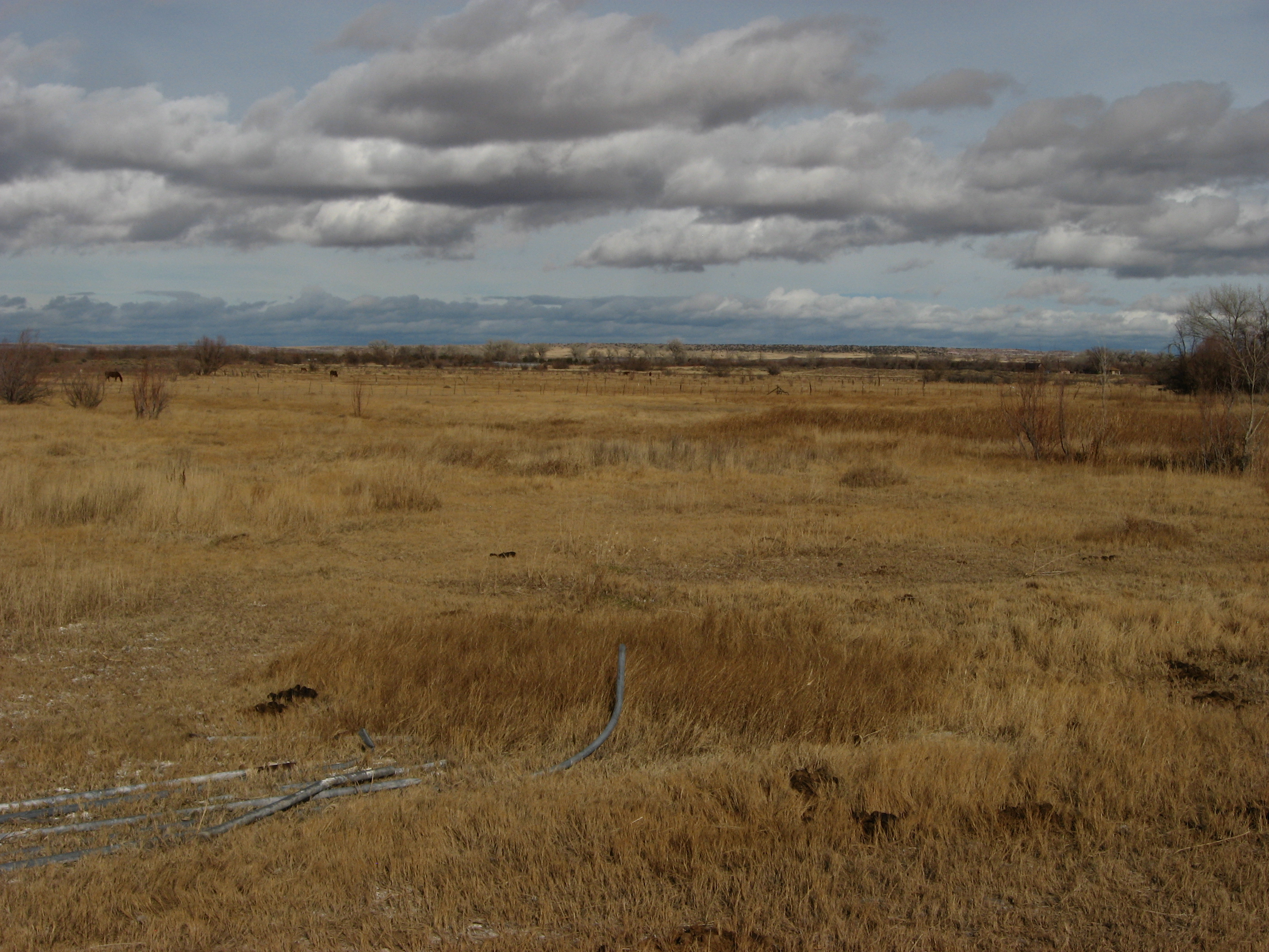
Arizona Dirt
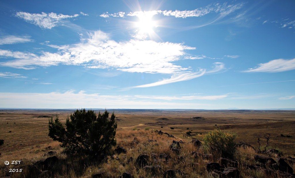
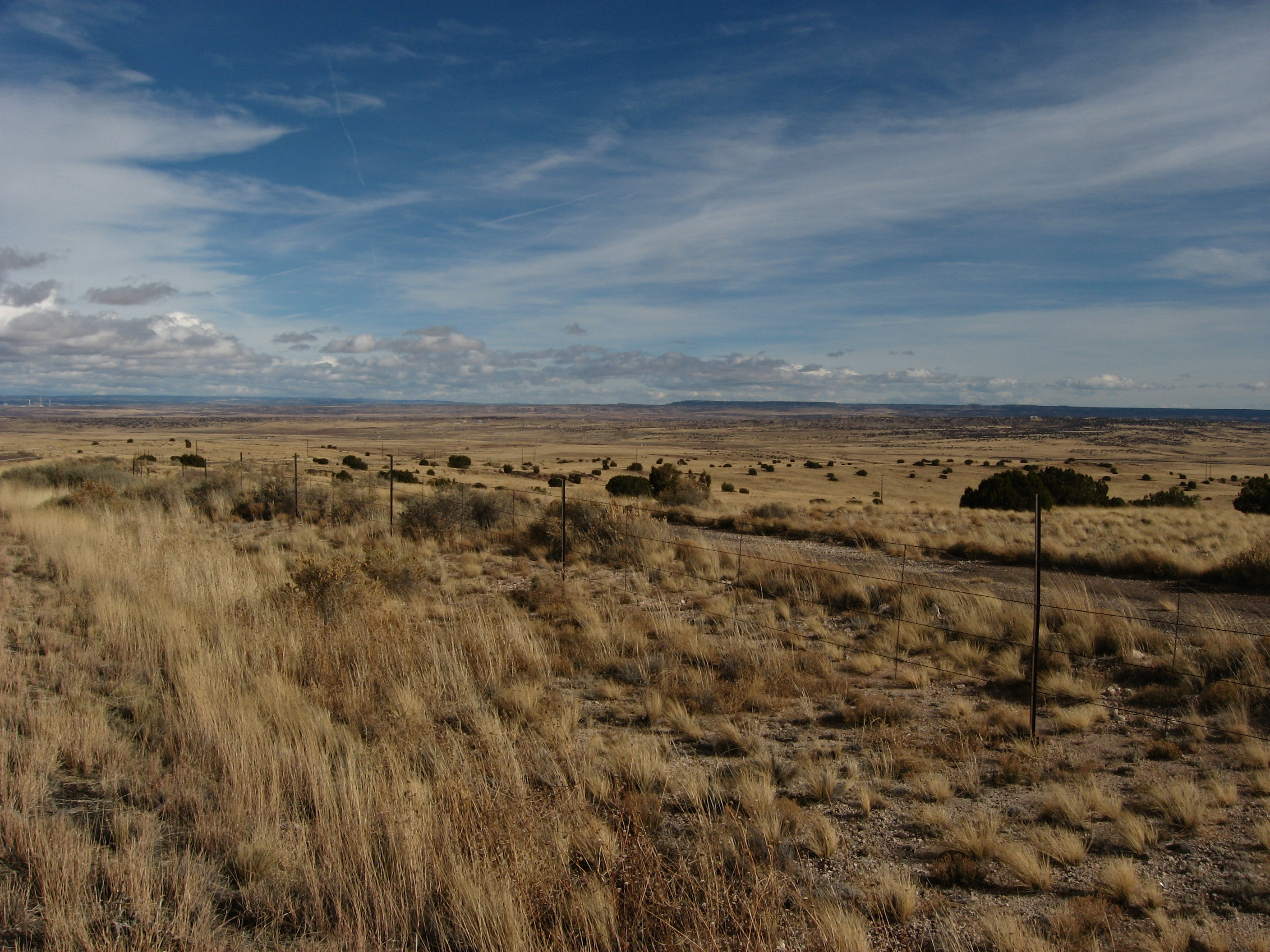
A Rural Arizona Landscape

Lavender Festival
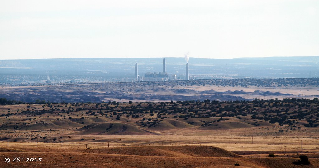
Coronado Power Plant, St Johns, AZ
Topographic Map of Apache County Road, Apache County Rd, Arizona, USA
Find elevation by address:

Places near Apache County Road, Apache County Rd, Arizona, USA:
90 7th W
90 7th W
Saint Johns
Concho
Delaware Lane
Concho Creek Drive
70 Apache Dr N8328
Concho, AZ, USA
53 Bonita Ln
53 Bonita Ln
St Johns, AZ, USA
N6100
Witch Well Road
Apache Estates
Apache County N7200
129 N1340
Coca Cola Avenue
Greens Peak
Springerville
E Main St, Springerville, AZ, USA
Recent Searches:
- Elevation of Corso Fratelli Cairoli, 35, Macerata MC, Italy
- Elevation of Tallevast Rd, Sarasota, FL, USA
- Elevation of 4th St E, Sonoma, CA, USA
- Elevation of Black Hollow Rd, Pennsdale, PA, USA
- Elevation of Oakland Ave, Williamsport, PA, USA
- Elevation of Pedrógão Grande, Portugal
- Elevation of Klee Dr, Martinsburg, WV, USA
- Elevation of Via Roma, Pieranica CR, Italy
- Elevation of Tavkvetili Mountain, Georgia
- Elevation of Hartfords Bluff Cir, Mt Pleasant, SC, USA