Elevation of Apache County N, Sanders, AZ, USA
Location: United States > Arizona > Apache County > Saint Johns >
Longitude: -109.31427
Latitude: 34.9007828
Elevation: 1899m / 6230feet
Barometric Pressure: 80KPa
Elevation Map:
Satellite Map:
Related Photos:

desert_view_08586

Hummingbird in the canyon

Burning Man Petroglyph

Snake Nest

State Route 61 Between the Arizona-New Mexico Border and U.S. 191

Witch Well, Arizona

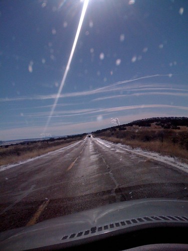
US Route 191
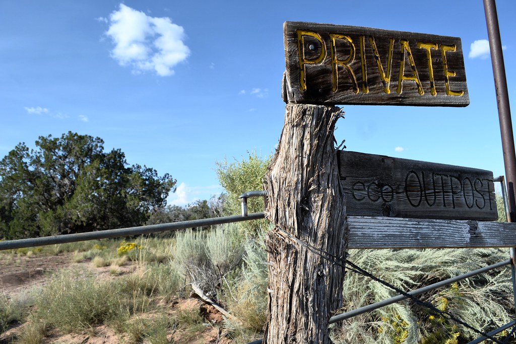
Desert Outpost

Witch Well, Arizona

AZ-61 West Approaching US-191

Petrified Paw Print

Cracked boulder

Lizard Petroglyph

Petrified stump in rock

Petrified log in rock
Dec 27, 2008
Topographic Map of Apache County N, Sanders, AZ, USA
Find elevation by address:

Places near Apache County N, Sanders, AZ, USA:
Coca Cola Avenue
Witch Well Road
Apache Estates
St Johns, AZ, USA
Apache County Road
Saint Johns
90 7th W
90 7th W
N6100
Concho, AZ, USA
Zuni
Concho
Delaware Lane
70 Apache Dr N8328
Concho Creek Drive
53 Bonita Ln
53 Bonita Ln
Fence Lake
Zuñi Salt Lake
129 N1340
Recent Searches:
- Elevation of Corso Fratelli Cairoli, 35, Macerata MC, Italy
- Elevation of Tallevast Rd, Sarasota, FL, USA
- Elevation of 4th St E, Sonoma, CA, USA
- Elevation of Black Hollow Rd, Pennsdale, PA, USA
- Elevation of Oakland Ave, Williamsport, PA, USA
- Elevation of Pedrógão Grande, Portugal
- Elevation of Klee Dr, Martinsburg, WV, USA
- Elevation of Via Roma, Pieranica CR, Italy
- Elevation of Tavkvetili Mountain, Georgia
- Elevation of Hartfords Bluff Cir, Mt Pleasant, SC, USA