Elevation of Rogersburg, WA, USA
Location: United States > Washington > Asotin County >
Longitude: -116.9795938
Latitude: 46.0782099
Elevation: 261m / 856feet
Barometric Pressure: 0KPa
Related Photos:
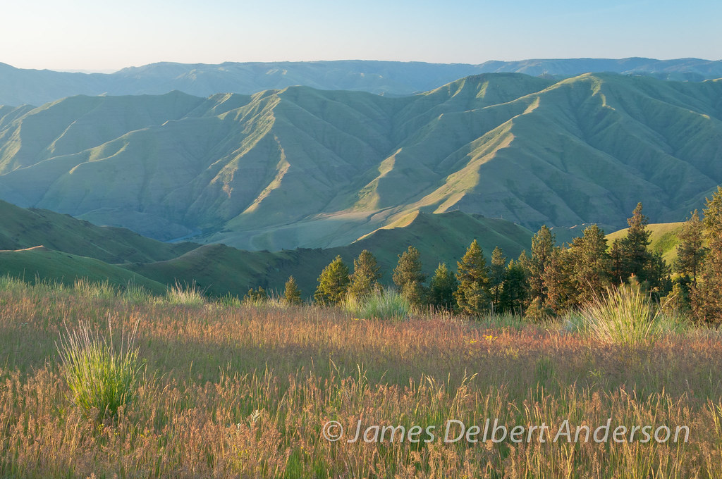
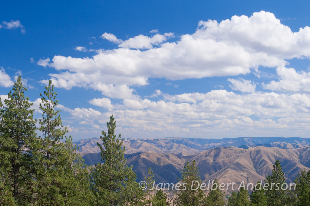
Canyon Views
I will follow...

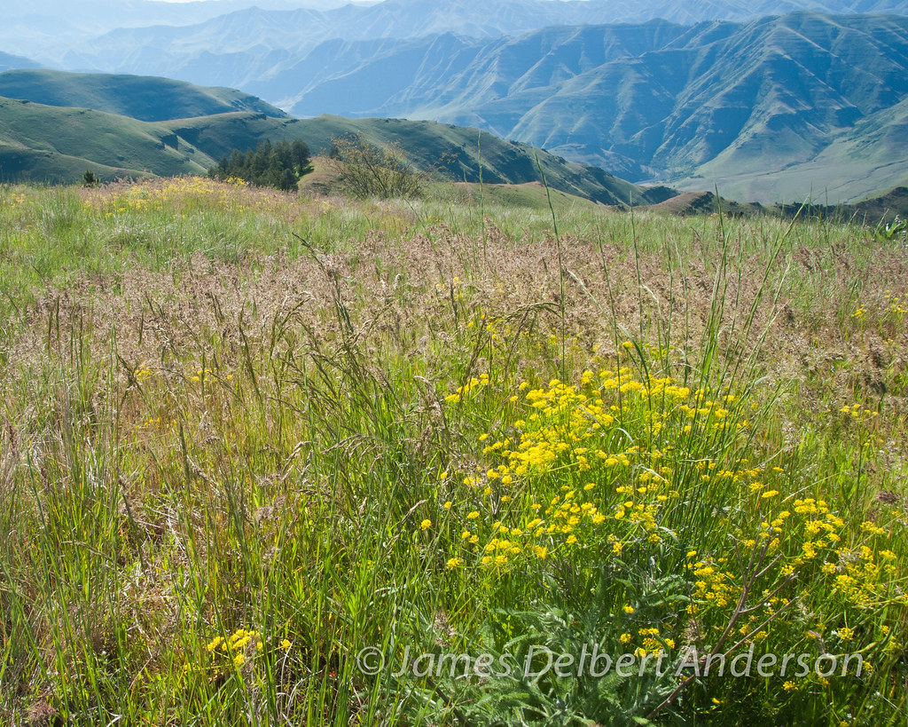
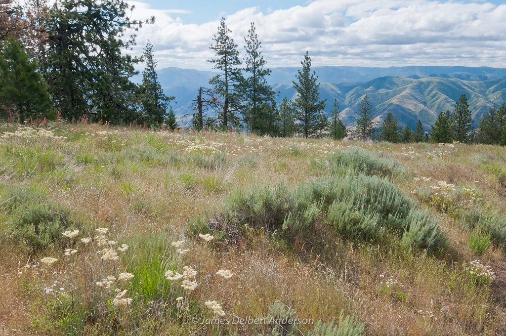
Balsamroot and Distant Views

Greenish Blue

Spring on Puffer Butte
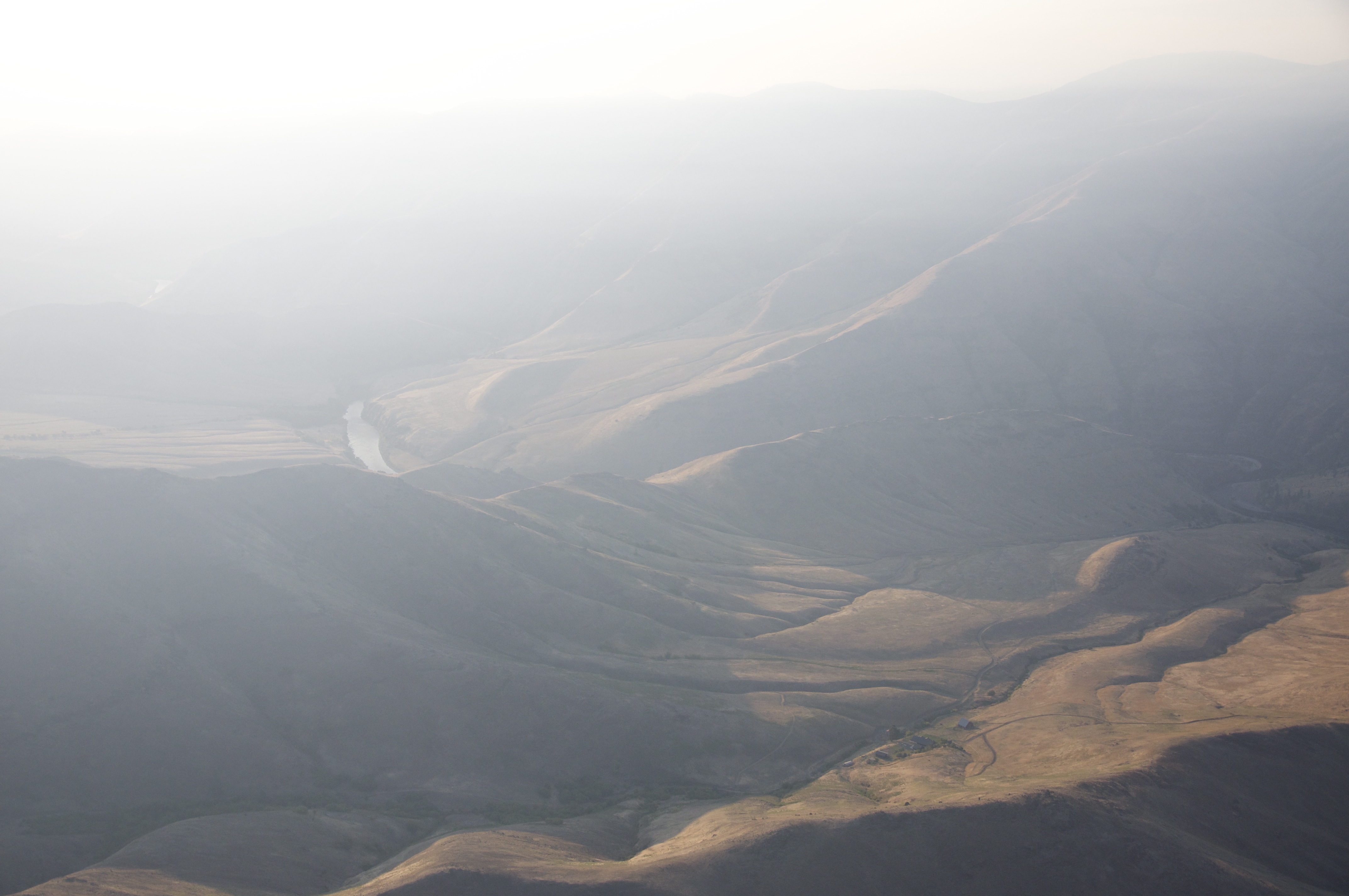
Canyon Haze

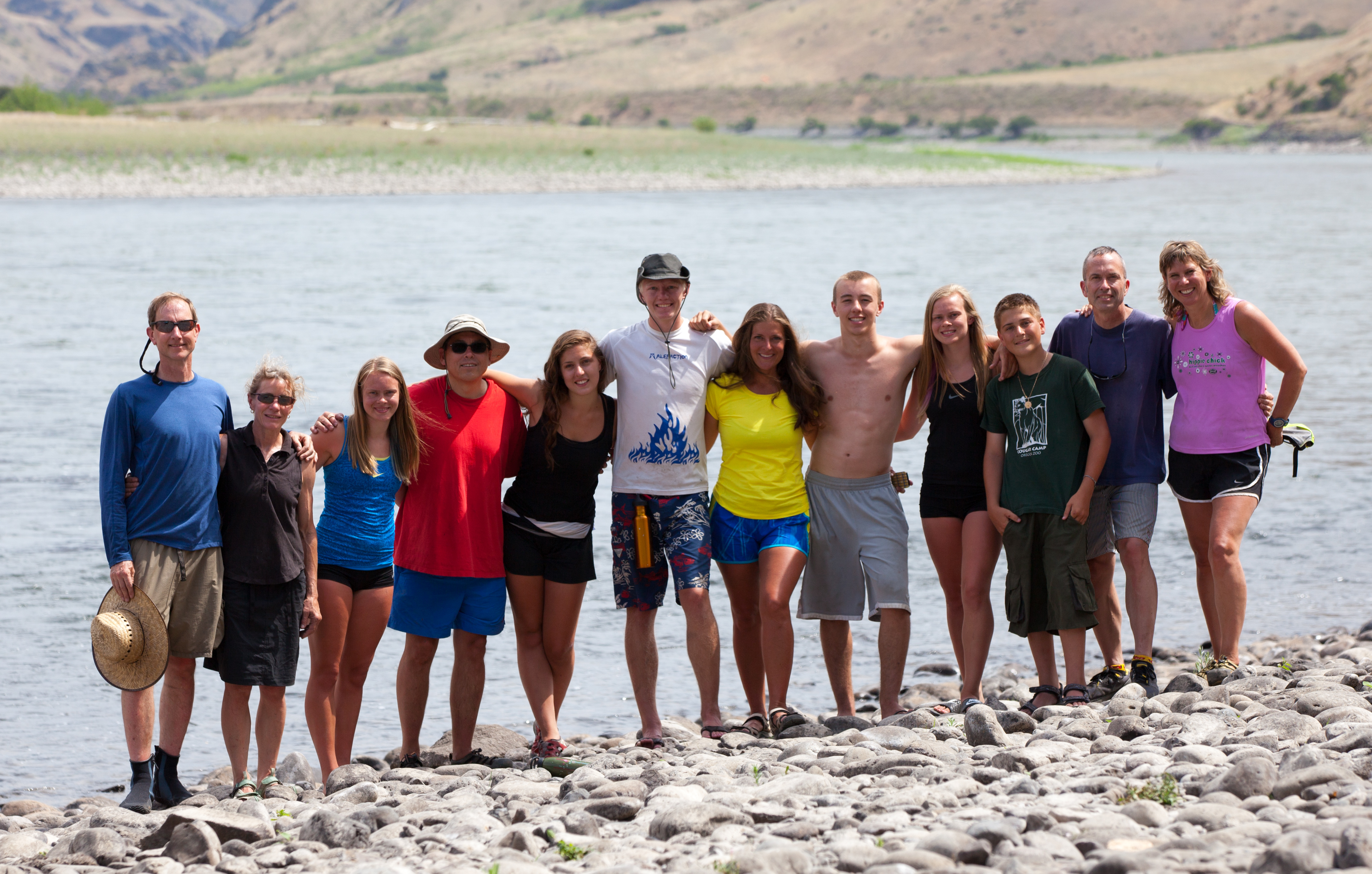
March Beach Time
Spring comes to Puffer
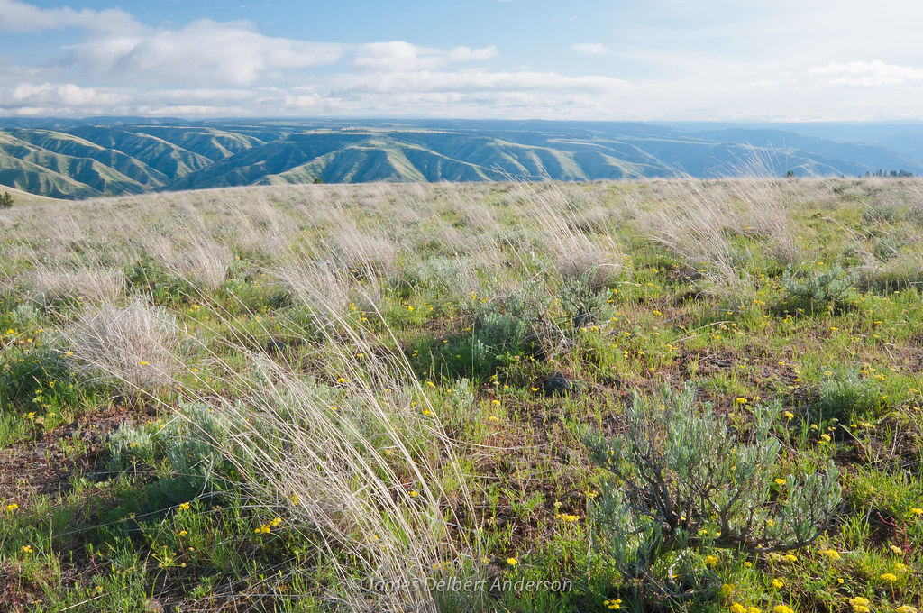
Fields Spring summer
Grand Ronde

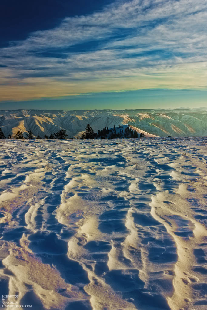
Sunset and Hardpack
The Mail Truck Doesn"t Come by Here
Winter Waha Walk

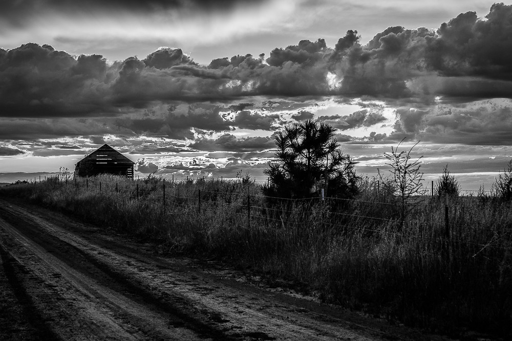
Weathered barn near Anatone

IMG_0118.JPG
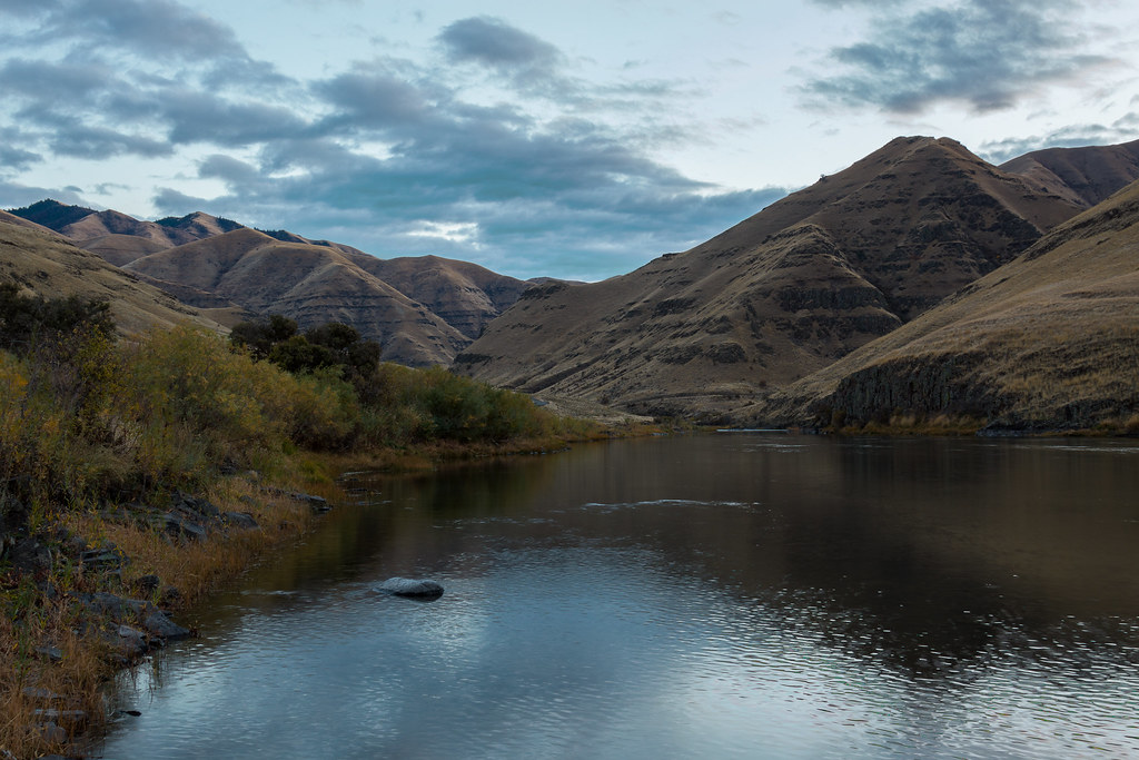
Grande Ronde River

IMG_0064.JPG
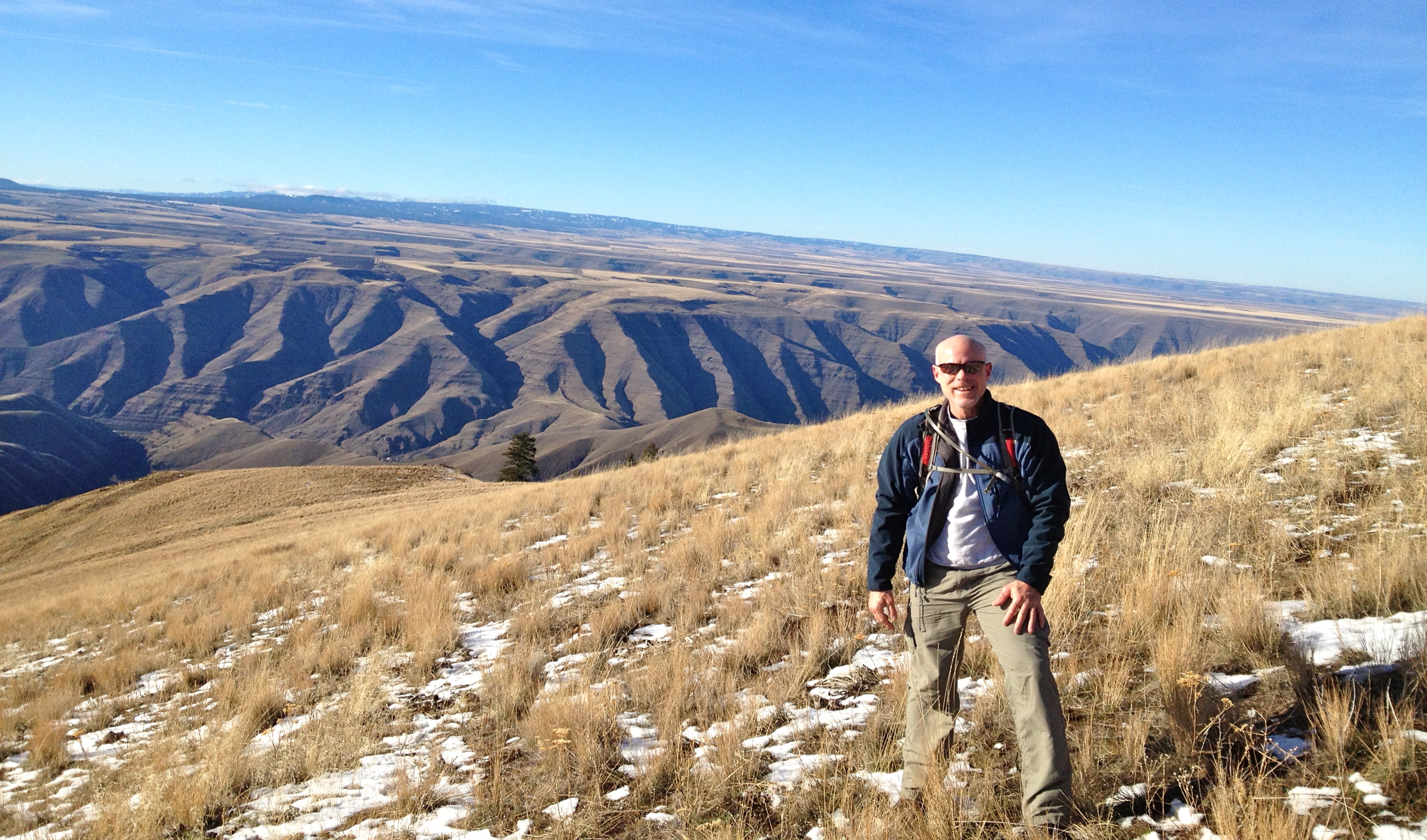
Puffer Butte

Triangle rock
Rafting Lower Salmon 20120727-420.jpg

Buffalo Eddy
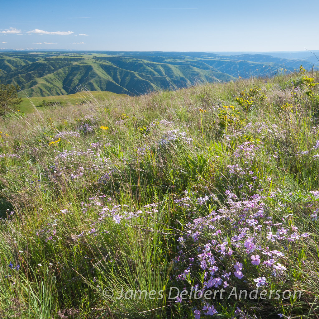
Puffer Butte Phlox
Topographic Map of Rogersburg, WA, USA
Find elevation by address:

Places near Rogersburg, WA, USA:
Heller Bar
Cache Creek Ranch
Zaza Rd, Lewiston, ID, USA
Snake River Rd, Asotin, WA, USA
Bluejay Ln, Lewiston, ID, USA
Waha
Black Bear Bend
42681 Flatiron Rd
35345 Pheasant Loop Rd
35365 Powell Rd
35046 Powell Rd
Asotin County
19295 Associates Dr
Riverpoint Drive
Asotin
Tammany Creek Road
1437 Powers Ave
3812 22nd St
2008 Birch Ave
3611 16th St
Recent Searches:
- Elevation of 611, Roman Road, Old Ford, Bow, London, England, E3 2RW, United Kingdom
- Elevation of 116, Beartown Road, Underhill, Chittenden County, Vermont, 05489, USA
- Elevation of Window Rock, Colfax County, New Mexico, 87714, USA
- Elevation of 4807, Rosecroft Street, Kempsville Gardens, Virginia Beach, Virginia, 23464, USA
- Elevation map of Matawinie, Quebec, Canada
- Elevation of Sainte-Émélie-de-l'Énergie, Matawinie, Quebec, Canada
- Elevation of Rue du Pont, Sainte-Émélie-de-l'Énergie, Matawinie, Quebec, J0K2K0, Canada
- Elevation of 8, Rue de Bécancour, Blainville, Thérèse-De Blainville, Quebec, J7B1N2, Canada
- Elevation of Wilmot Court North, 163, University Avenue West, Northdale, Waterloo, Region of Waterloo, Ontario, N2L6B6, Canada
- Elevation map of Panamá Province, Panama
- Elevation of Balboa, Panamá Province, Panama
- Elevation of San Miguel, Balboa, Panamá Province, Panama
- Elevation of Isla Gibraleón, San Miguel, Balboa, Panamá Province, Panama
- Elevation of 4655, Krischke Road, Schulenburg, Fayette County, Texas, 78956, USA
- Elevation of Carnegie Avenue, Downtown Cleveland, Cleveland, Cuyahoga County, Ohio, 44115, USA
- Elevation of Walhonding, Coshocton County, Ohio, USA
- Elevation of Clifton Down, Clifton, Bristol, City of Bristol, England, BS8 3HU, United Kingdom
- Elevation map of Auvergne-Rhône-Alpes, France
- Elevation map of Upper Savoy, Auvergne-Rhône-Alpes, France
- Elevation of Chamonix-Mont-Blanc, Upper Savoy, Auvergne-Rhône-Alpes, France