Elevation of Powers Ave, Lewiston, ID, USA
Location: United States > Idaho > Nez Perce County > Lewiston >
Longitude: -116.95497
Latitude: 46.3697407
Elevation: 466m / 1529feet
Barometric Pressure: 96KPa
Elevation Map:
Satellite Map:
Related Photos:
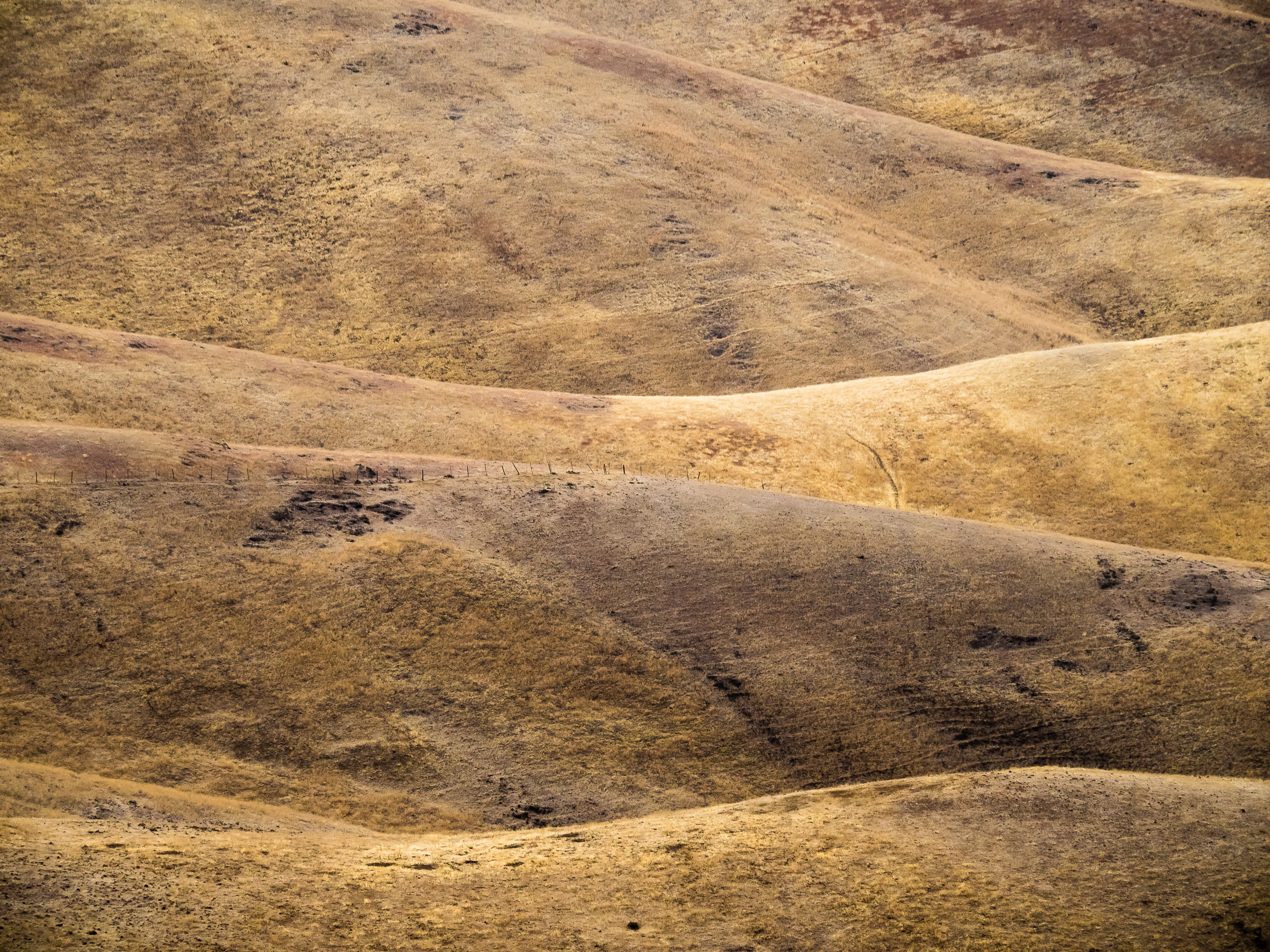
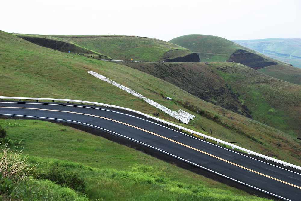
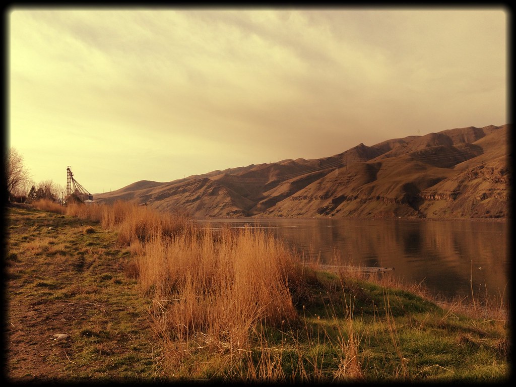
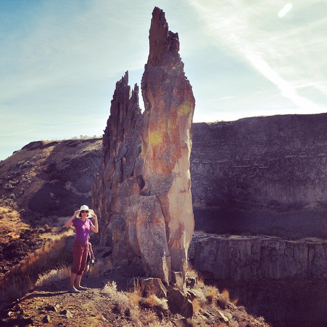
Lewiston Landscape 3

Northern Saw-whet Owl
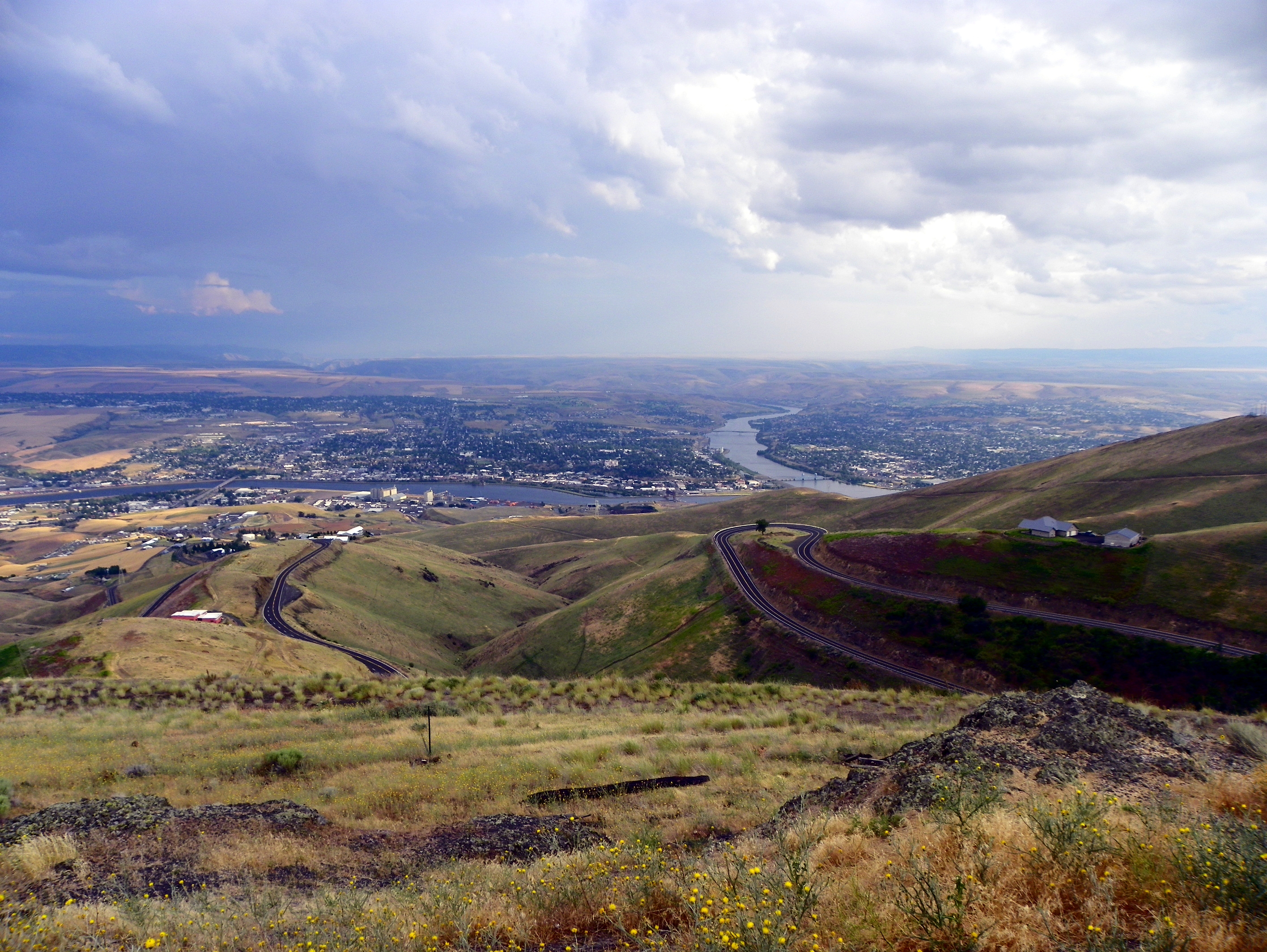
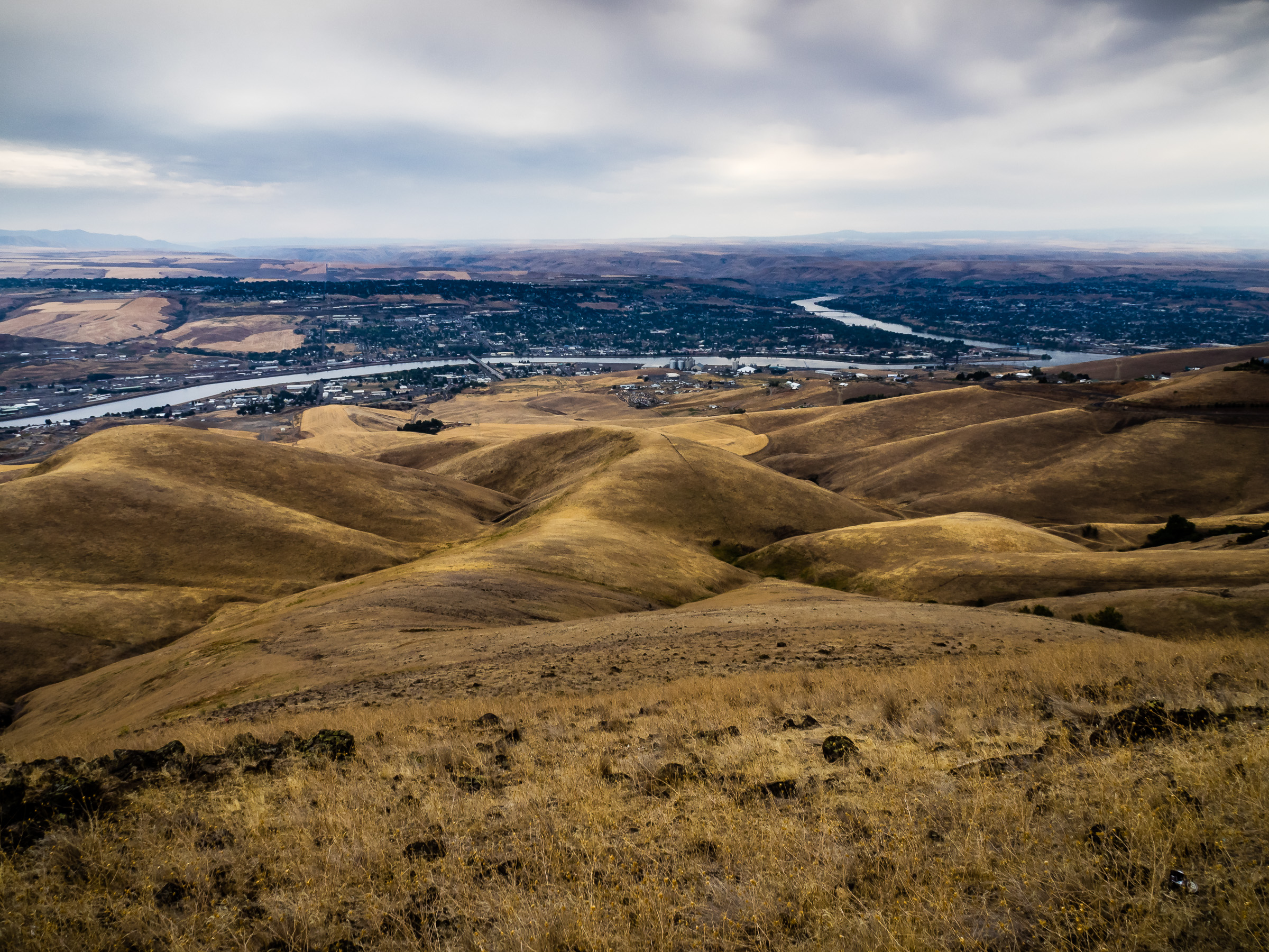
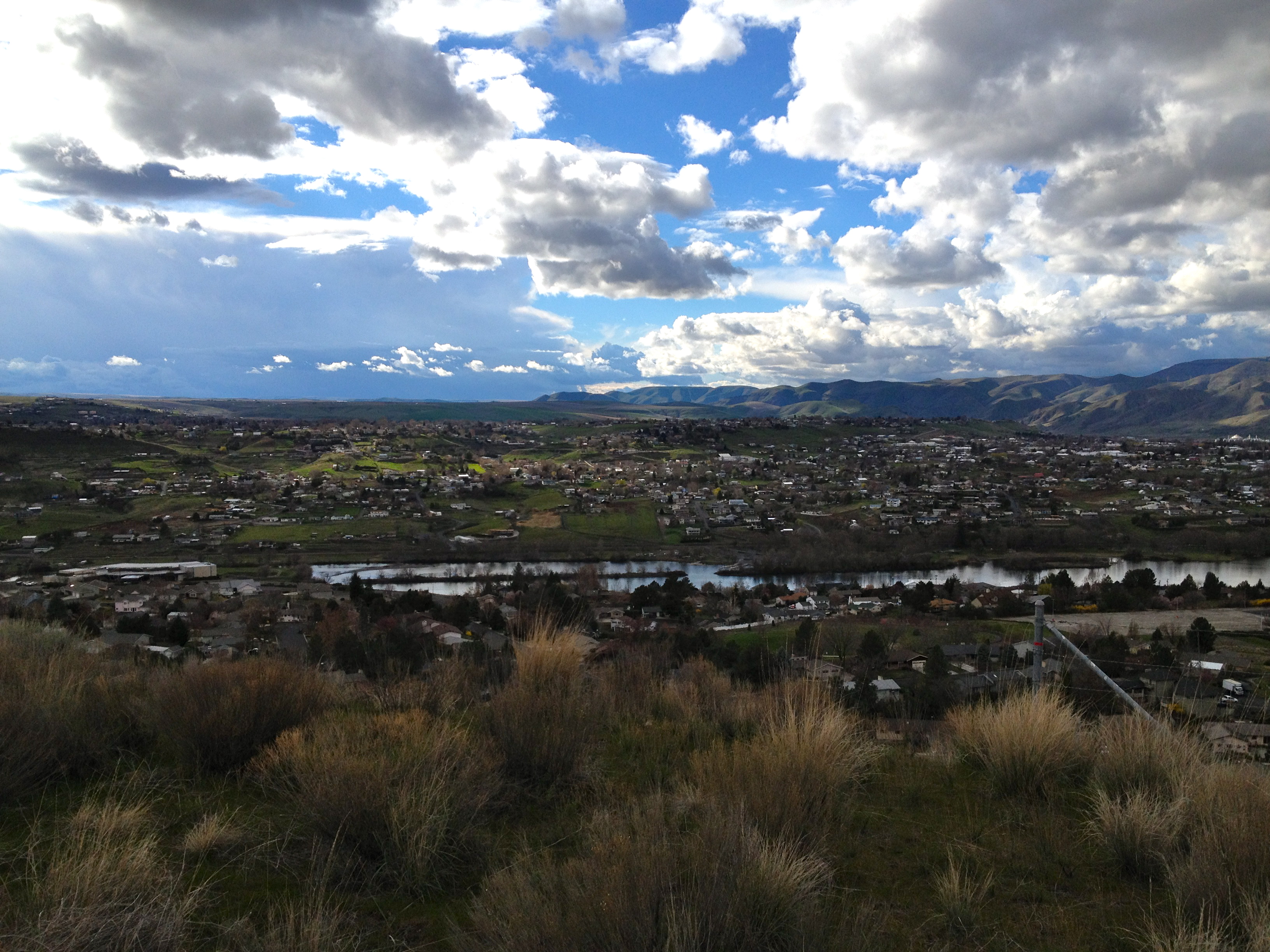
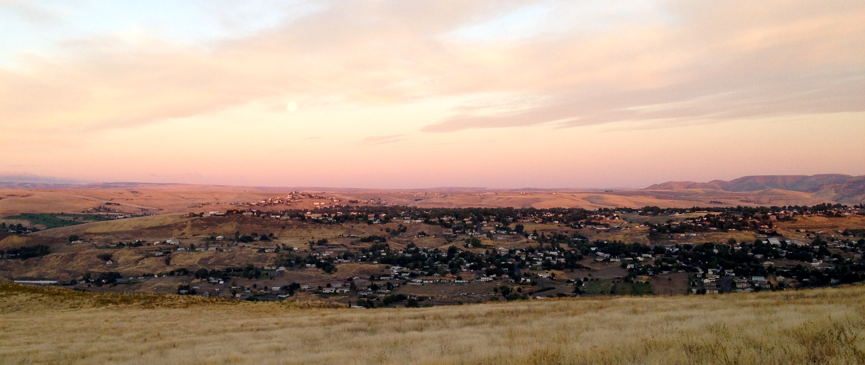
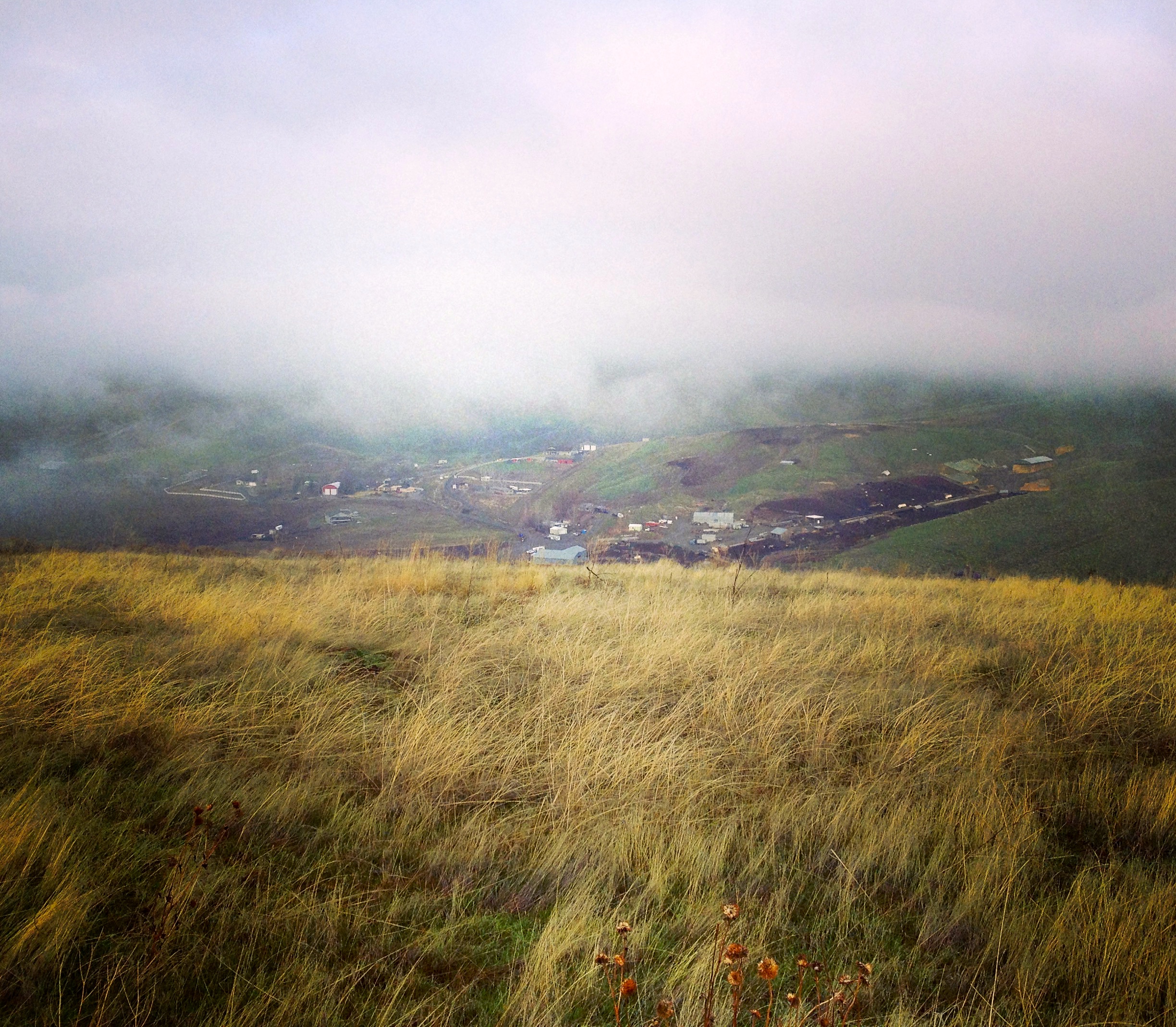
View of Lewiston, Idaho from Lewiston Hill
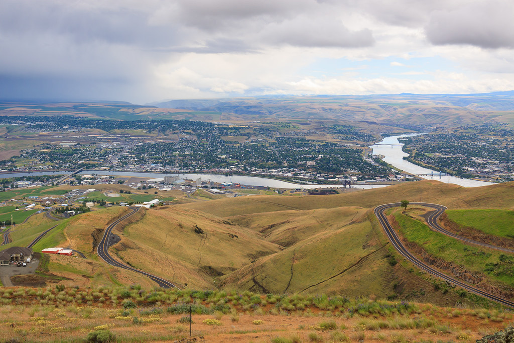
Lewiston-Clarkston
Lewiston Landscape 1
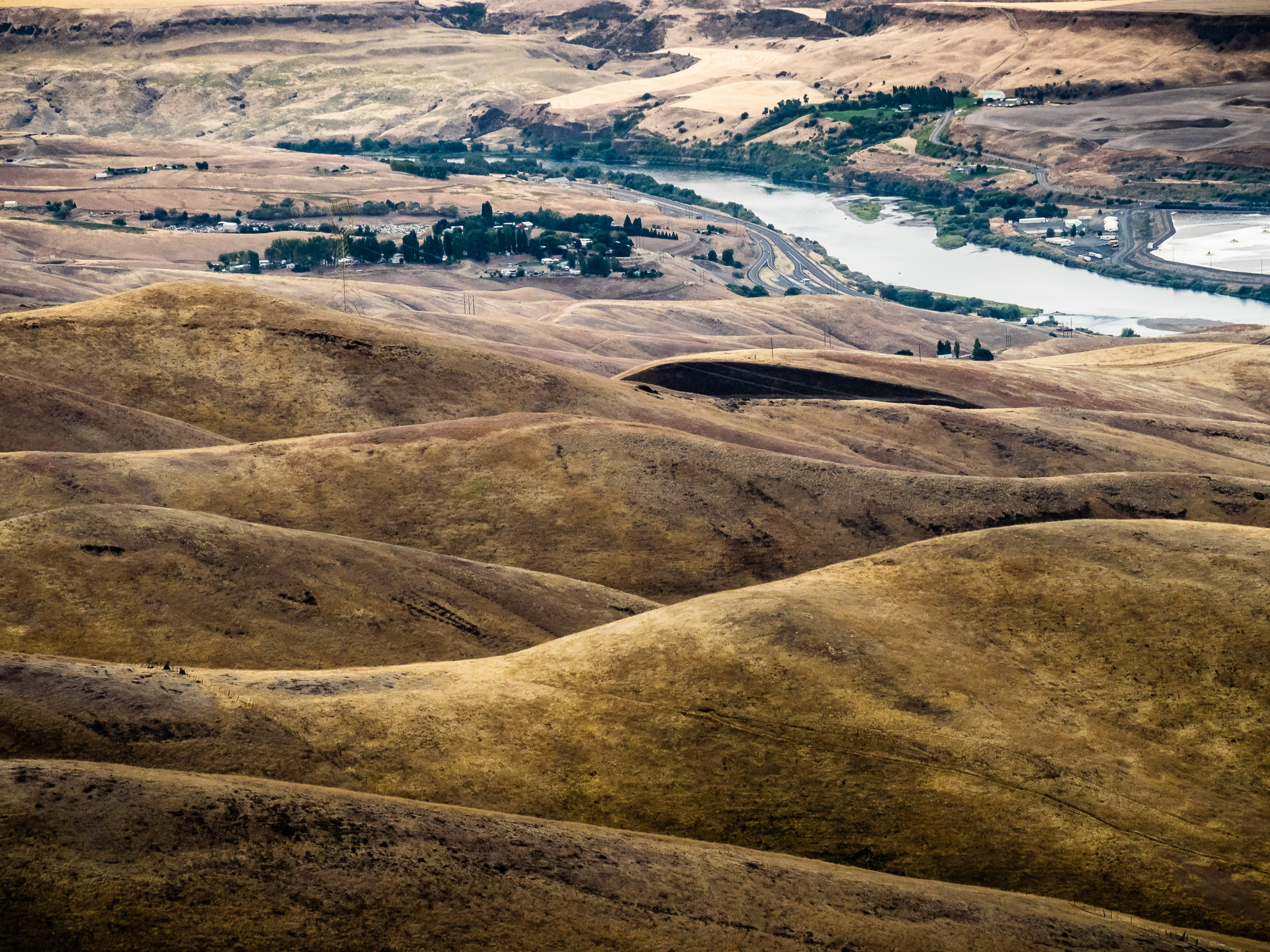
Lewiston Landscape 2
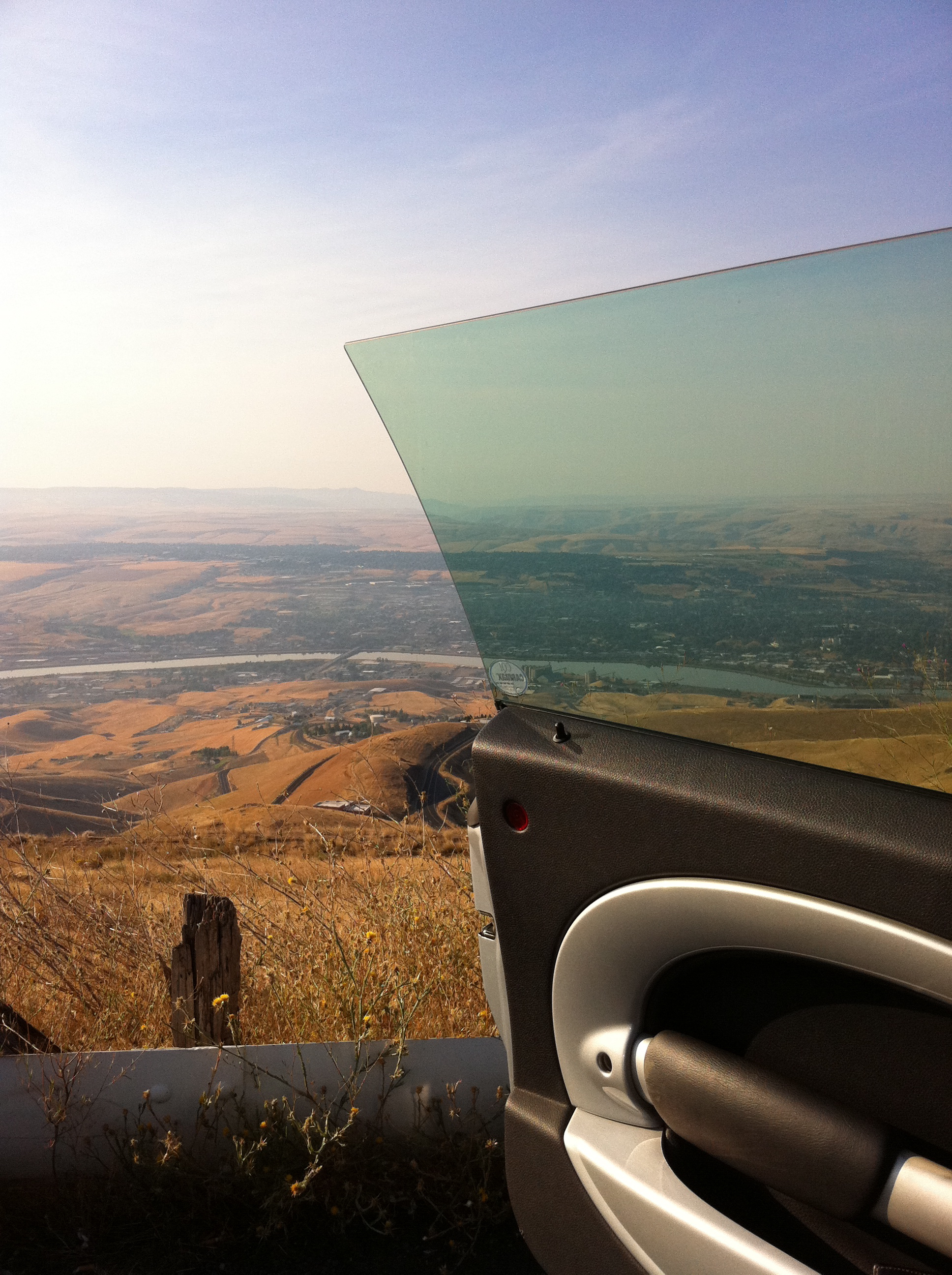
Stopping to admire the view on the drive to Lewiston, ID
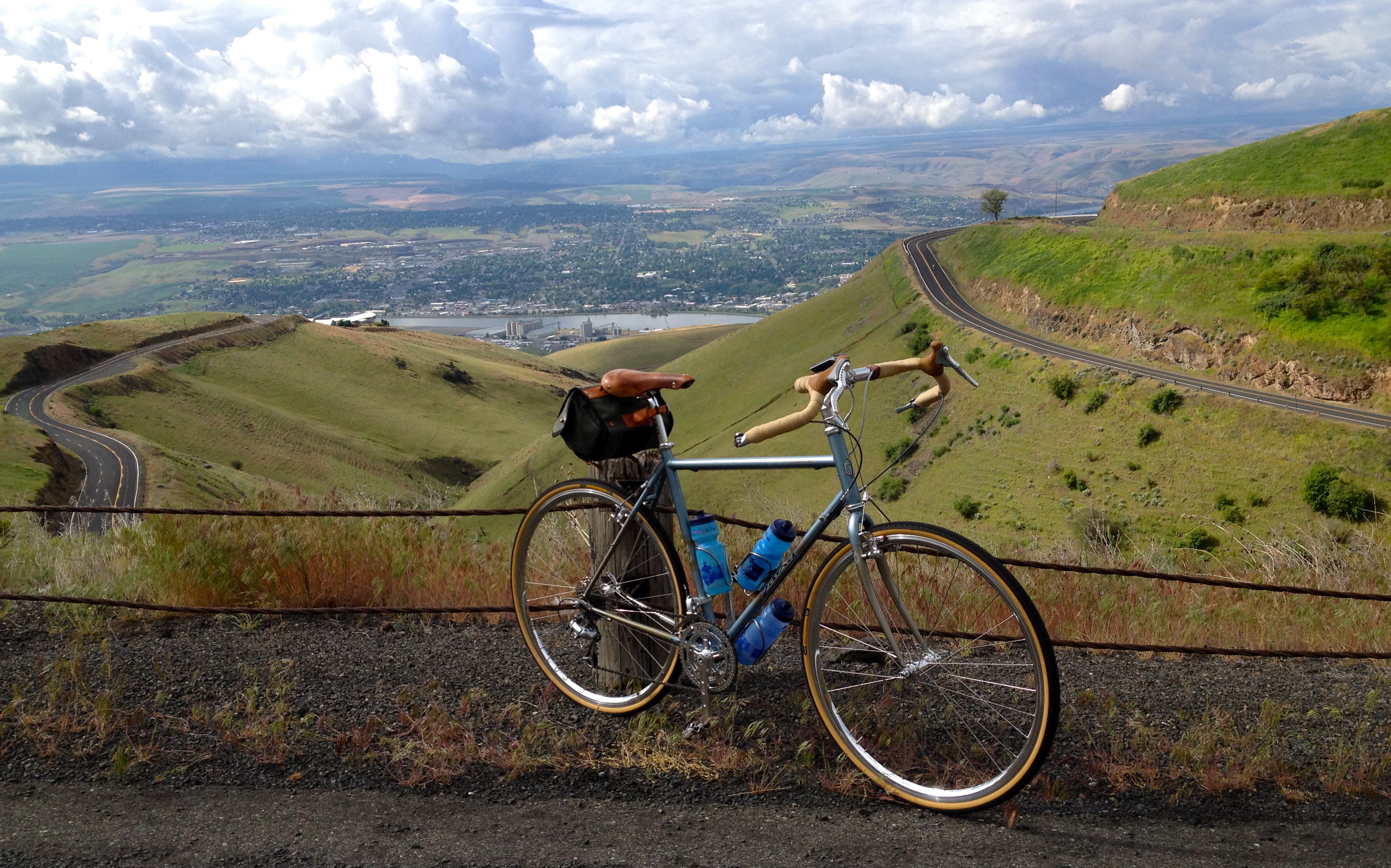
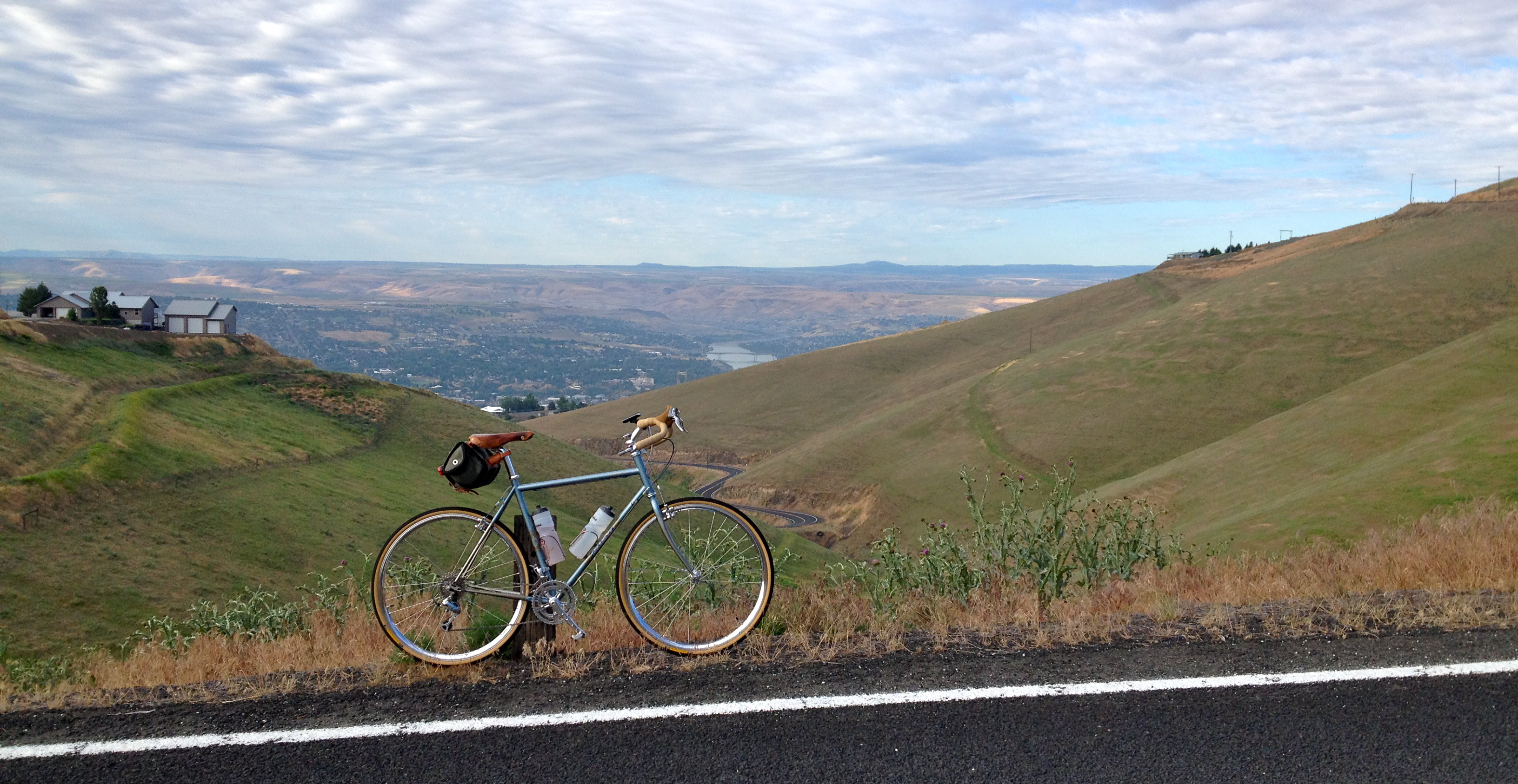
Saturday Morning Ride on the Spiral Hwy
Morning walk
Letter "L" (Lewiston, Idaho), next to the Spiral Highway
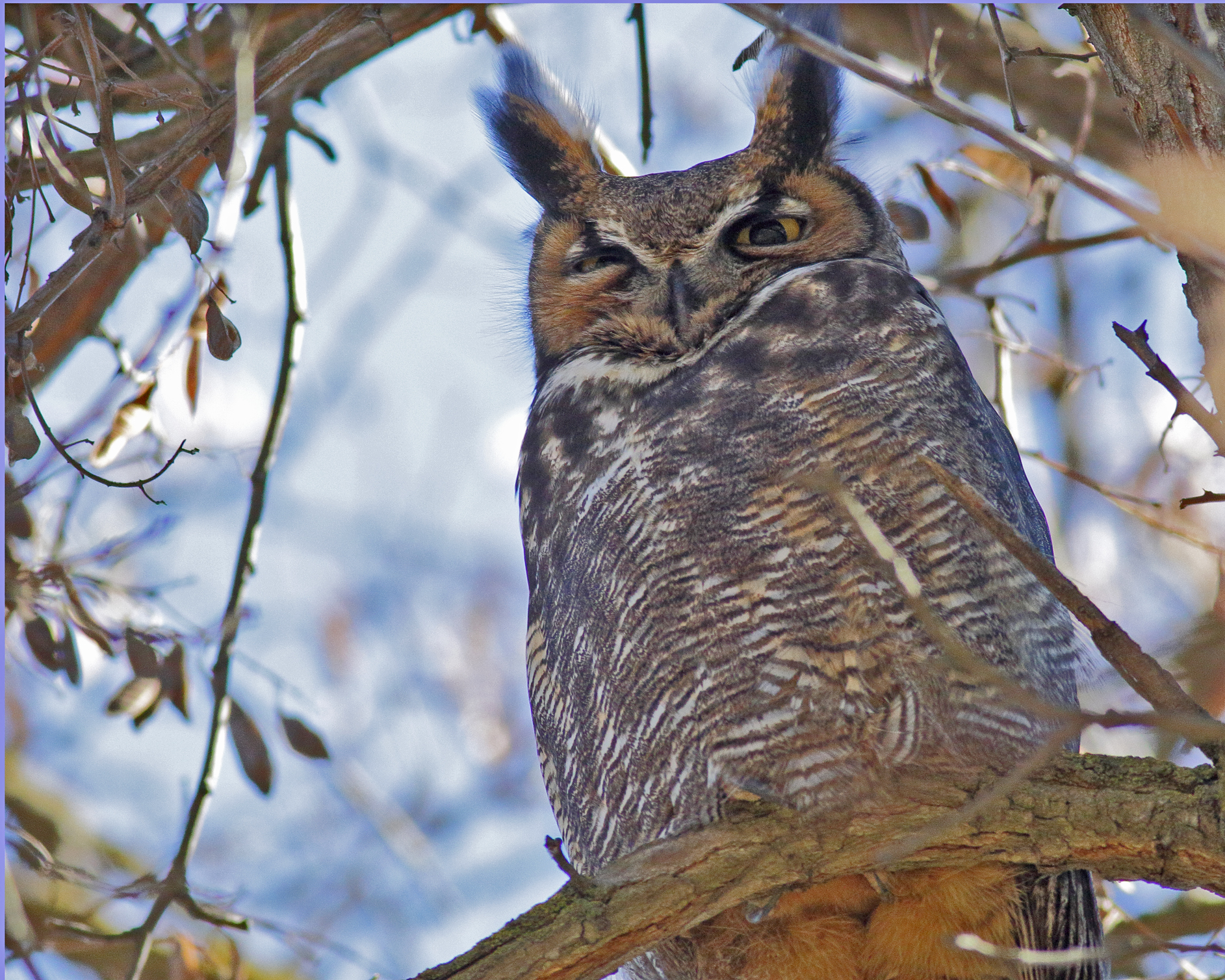
Great Horned Owl
Walk pic

Old Carnegie Library (Lewiston, Idaho)

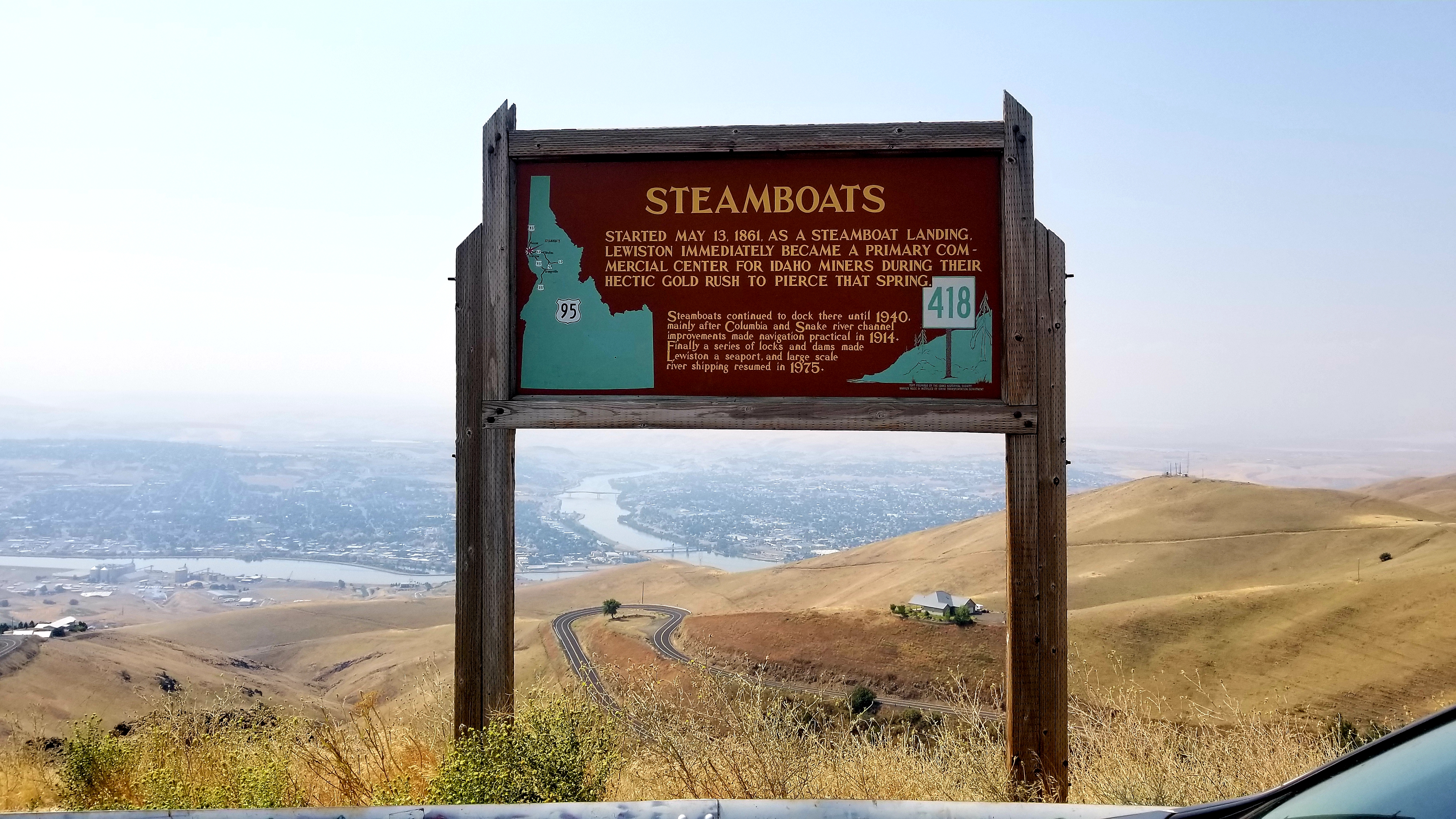
View from Lewiston Hill
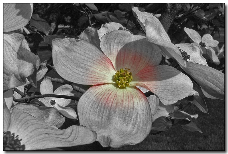
Splash of Color (1)

D70-0801-061 - View

Bald Eagle (immature)
Have a View (in color)
The Tip-Top drive-in
Saturday Morning Ride on the Spiral Hwy
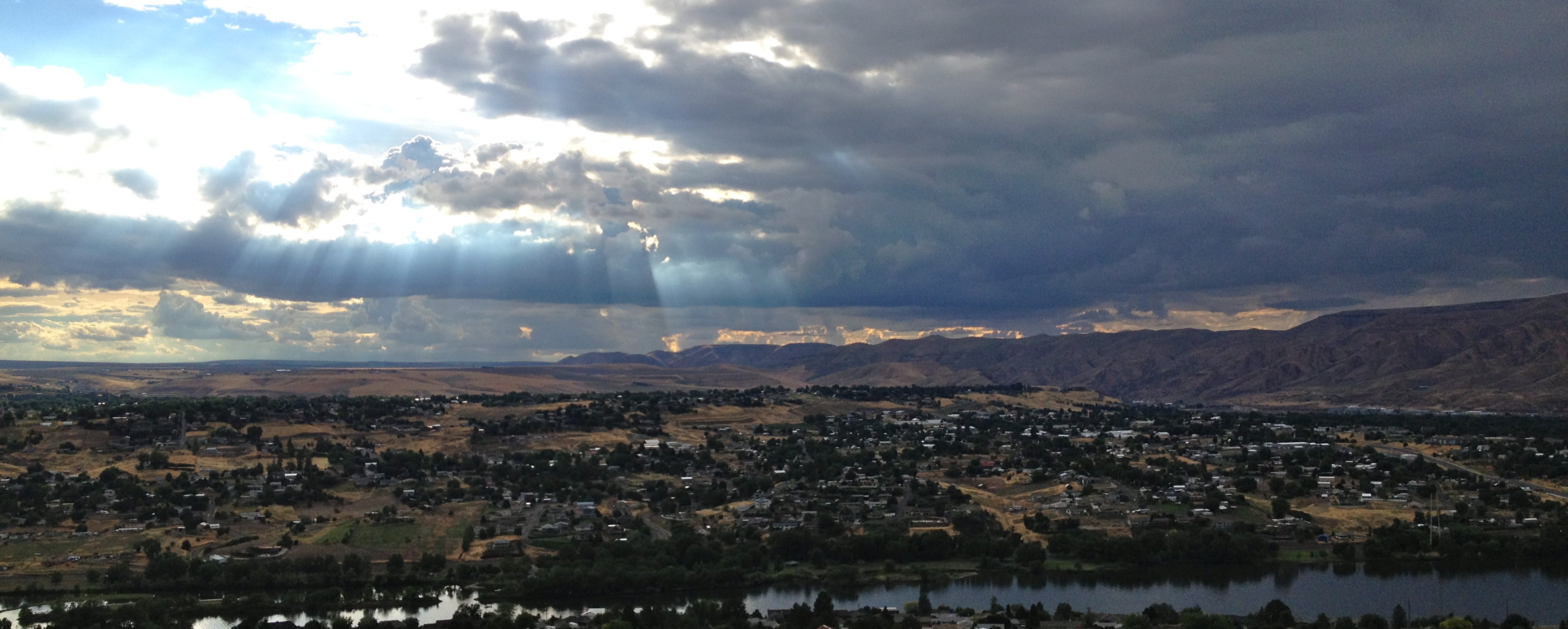
0U1A9777 Lewiston ID - Levee Park - view of Clearwater River
Lewiston, Idaho
Lewiston, Idaho
Canyon view on Cloverland Road
Lewiston, Idaho

Baird's Sandpiper
A little pre-game walk, Snake River #goravens
Lame iphone full moon pics
Evening Walk Sky
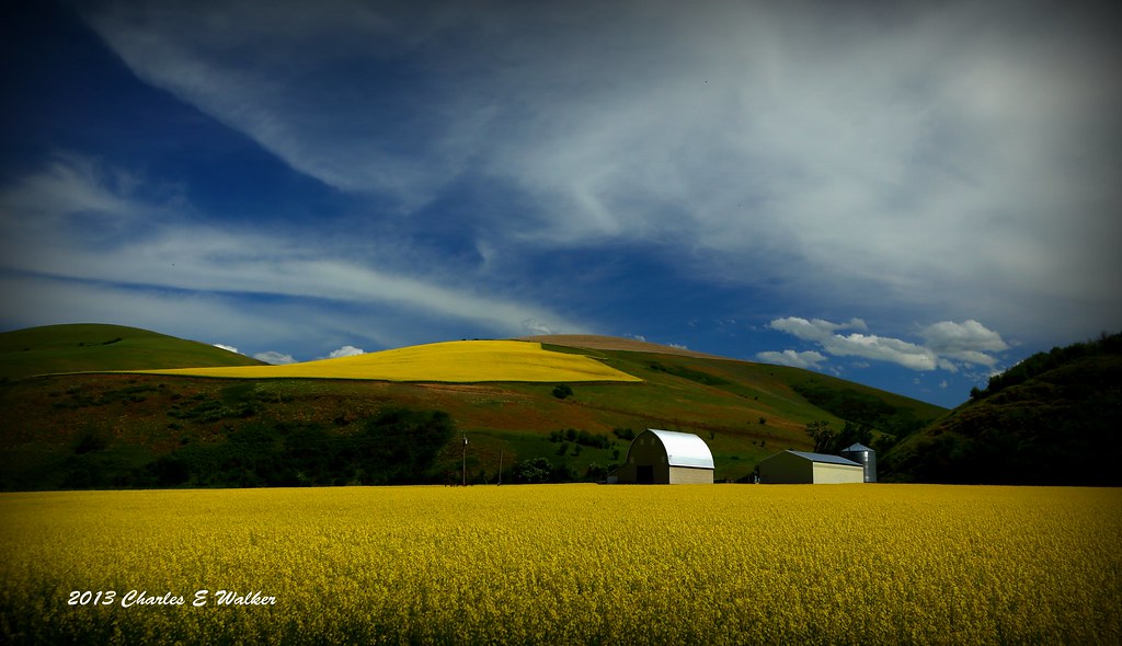
Yellow Rape Plant
That's right, keep risking your life #hiking

The Old Spiral Highway, Lewiston, Idaho, USA
Fog and Mud Ride @ Hells Gate
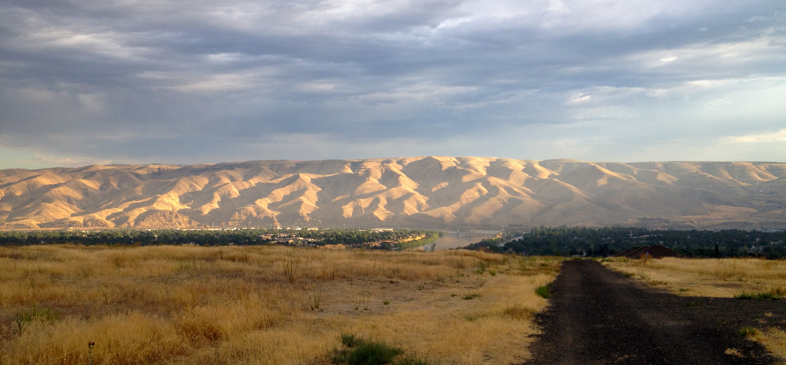
Looking down at Lewiston, Idaho
Sage Bakery Ride
Topographic Map of Powers Ave, Lewiston, ID, USA
Find elevation by address:

Places near Powers Ave, Lewiston, ID, USA:
3611 16th St
3431 14th Street C
Tammany Creek Road
Bryden Ave, Lewiston, ID, USA
2008 Birch Ave
924 Magnolia St
3812 22nd St
923 Magnolia St
820 Preston Ave
2205 Wheatlands Ave
201 S Garden Ct
Lewiston Airport
Lewiston
Transportation-interstate Bridge
455 Knoll Crest Ct
Riverpoint Drive
2027 1st St
3215 Echo Hills Dr
Asotin
2875 Grandview Dr
Recent Searches:
- Elevation of Corso Fratelli Cairoli, 35, Macerata MC, Italy
- Elevation of Tallevast Rd, Sarasota, FL, USA
- Elevation of 4th St E, Sonoma, CA, USA
- Elevation of Black Hollow Rd, Pennsdale, PA, USA
- Elevation of Oakland Ave, Williamsport, PA, USA
- Elevation of Pedrógão Grande, Portugal
- Elevation of Klee Dr, Martinsburg, WV, USA
- Elevation of Via Roma, Pieranica CR, Italy
- Elevation of Tavkvetili Mountain, Georgia
- Elevation of Hartfords Bluff Cir, Mt Pleasant, SC, USA