Elevation of Bryden Ave, Lewiston, ID, USA
Location: United States > Idaho > Nez Perce County > Lewiston >
Longitude: -116.974477
Latitude: 46.380558
Elevation: 440m / 1444feet
Barometric Pressure: 0KPa
Related Photos:

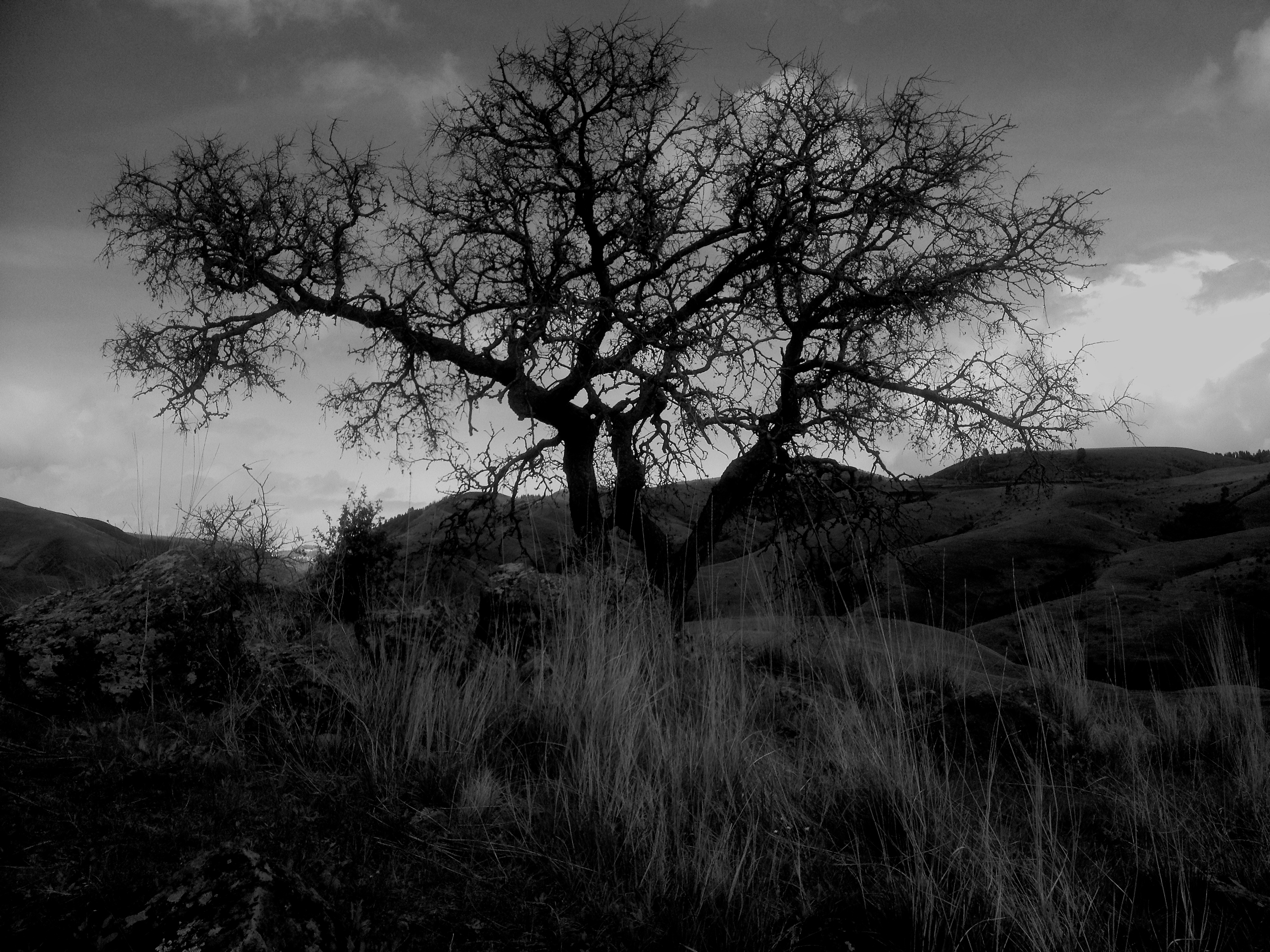
Road to Perdition
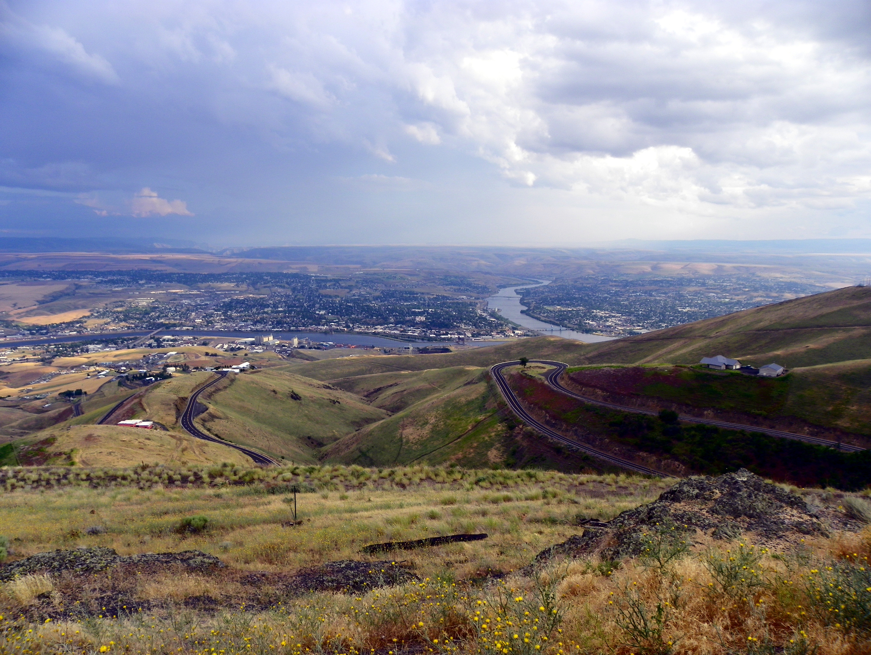
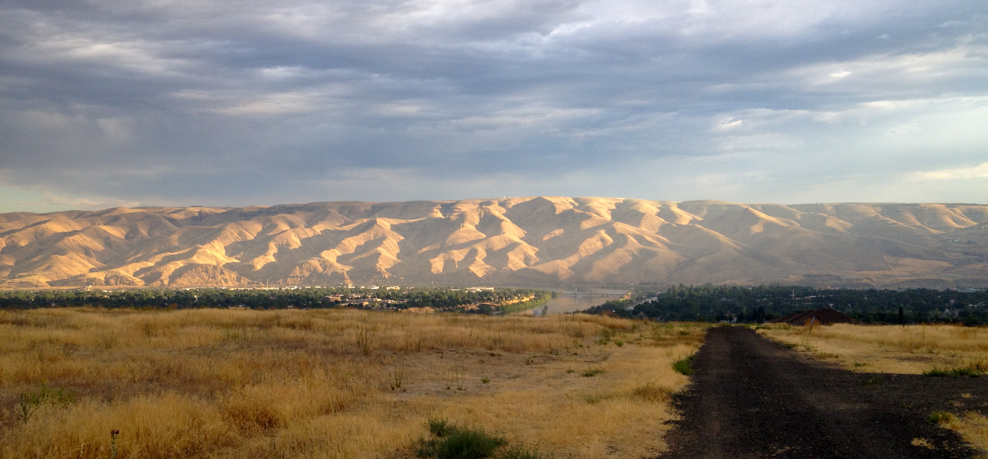
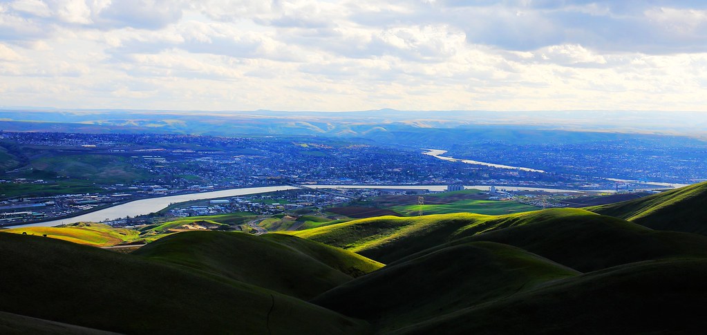
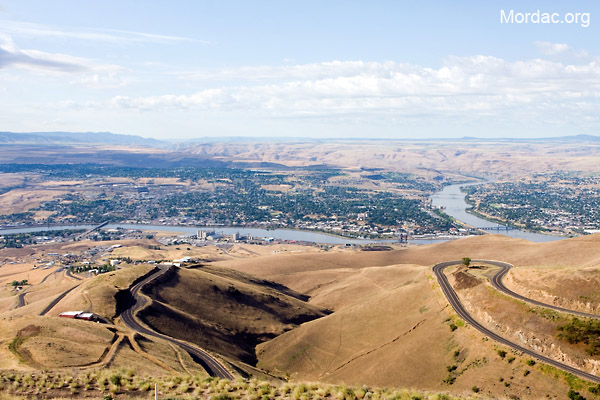
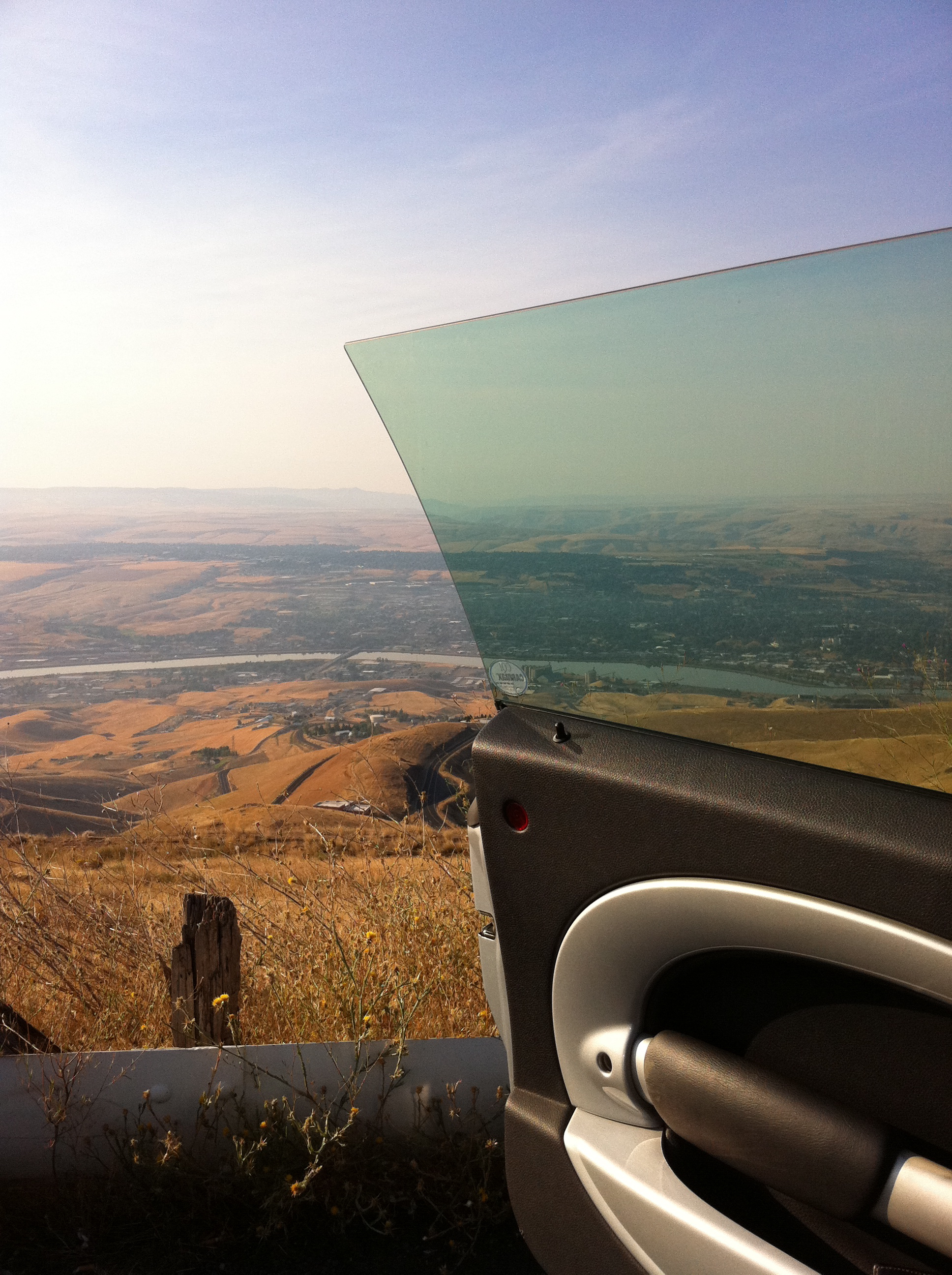
View of Lewiston, Idaho from Lewiston Hill

Letter "L" (Lewiston, Idaho), next to the Spiral Highway
Lewiston-Clarkston

Great Horned Owl
Reach for the Sky
View from Coyote Gulch Rd.
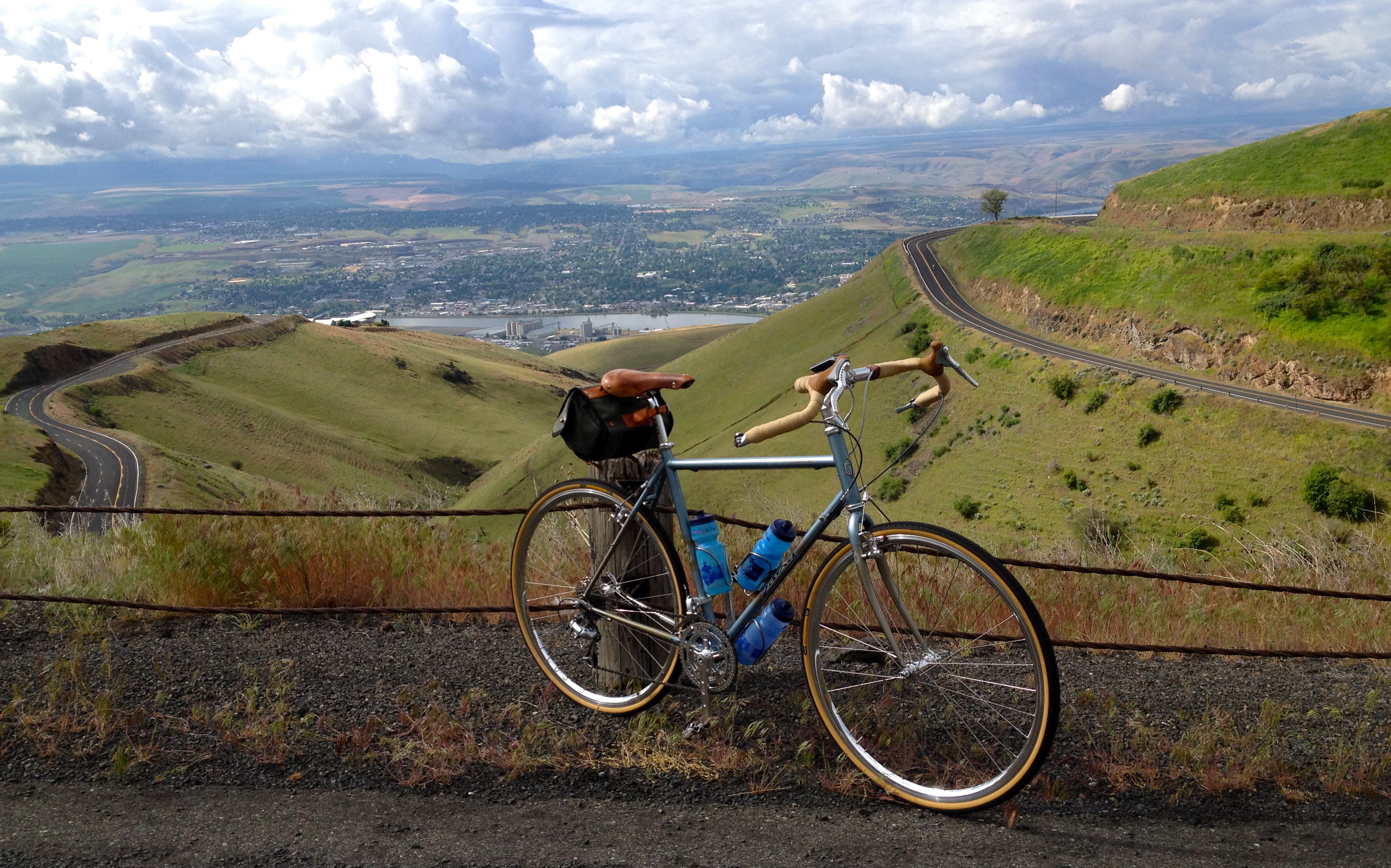
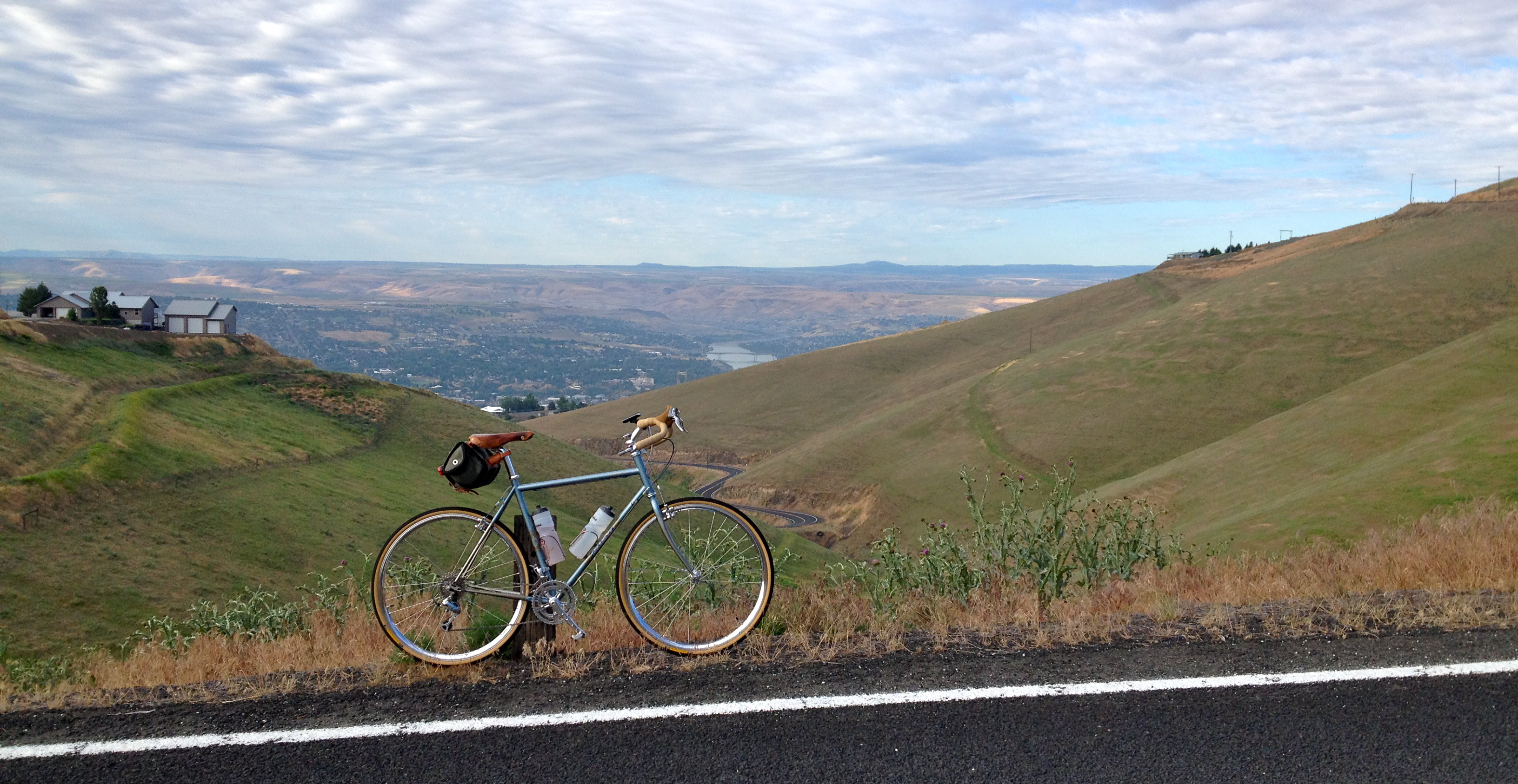
Saturday Morning Ride on the Spiral Hwy

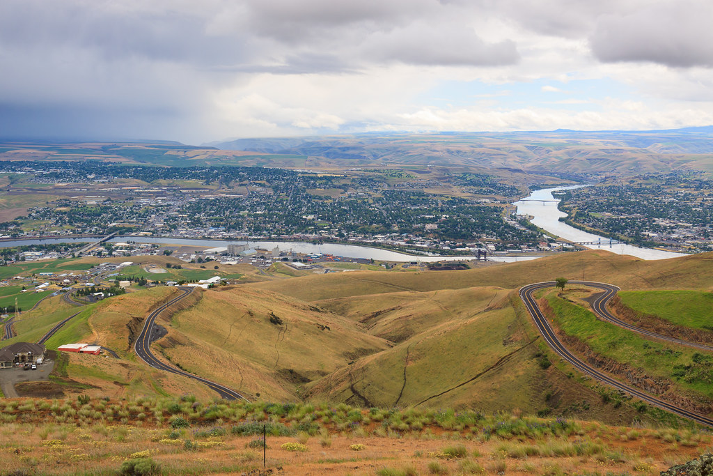
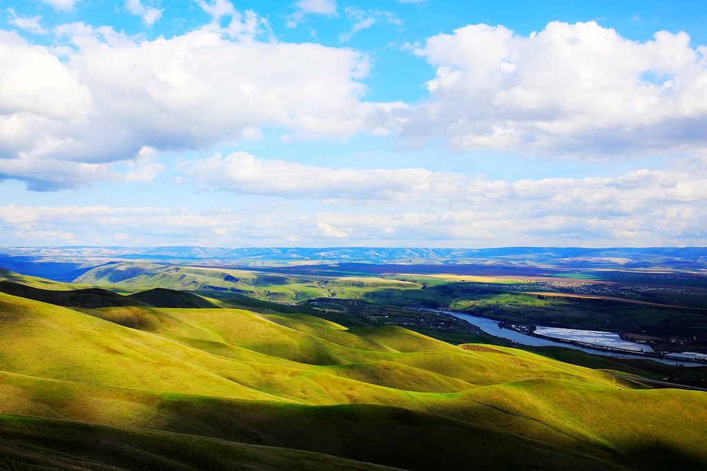
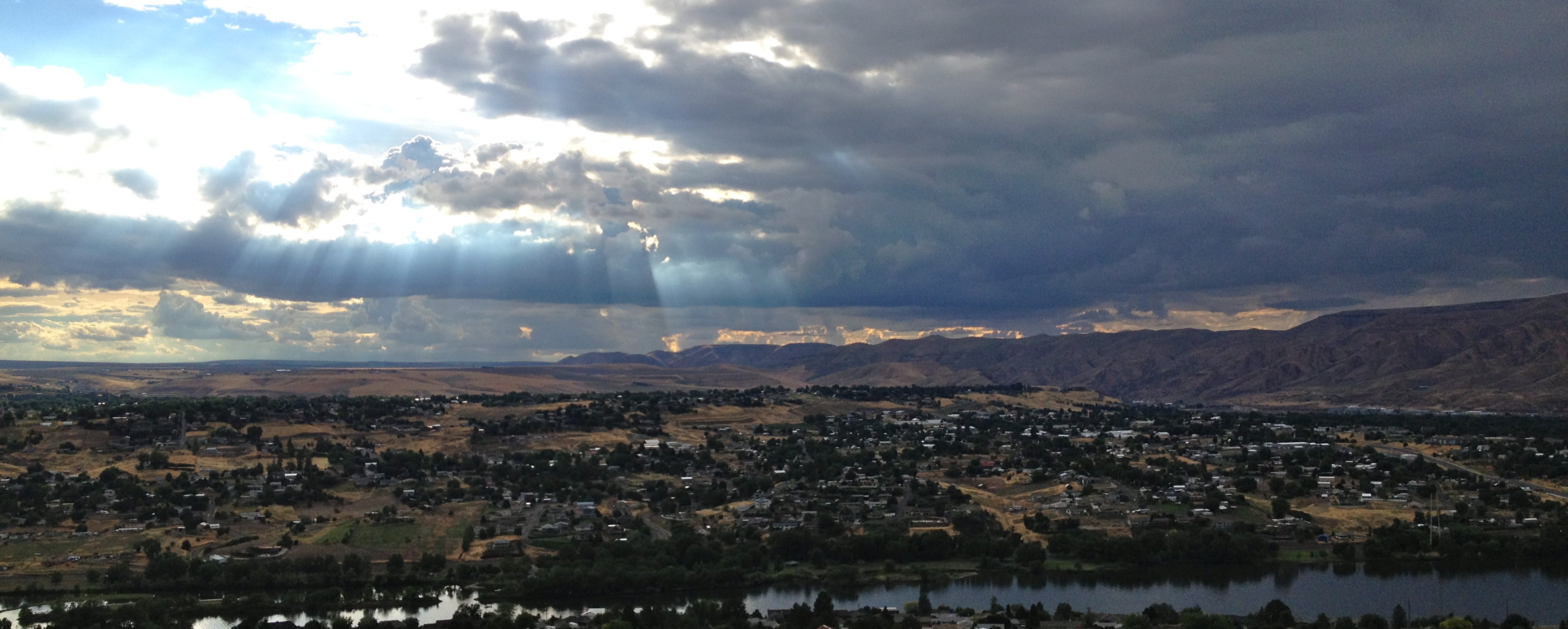
View from Lewiston Hill

D70-0801-061 - View
Morning walk
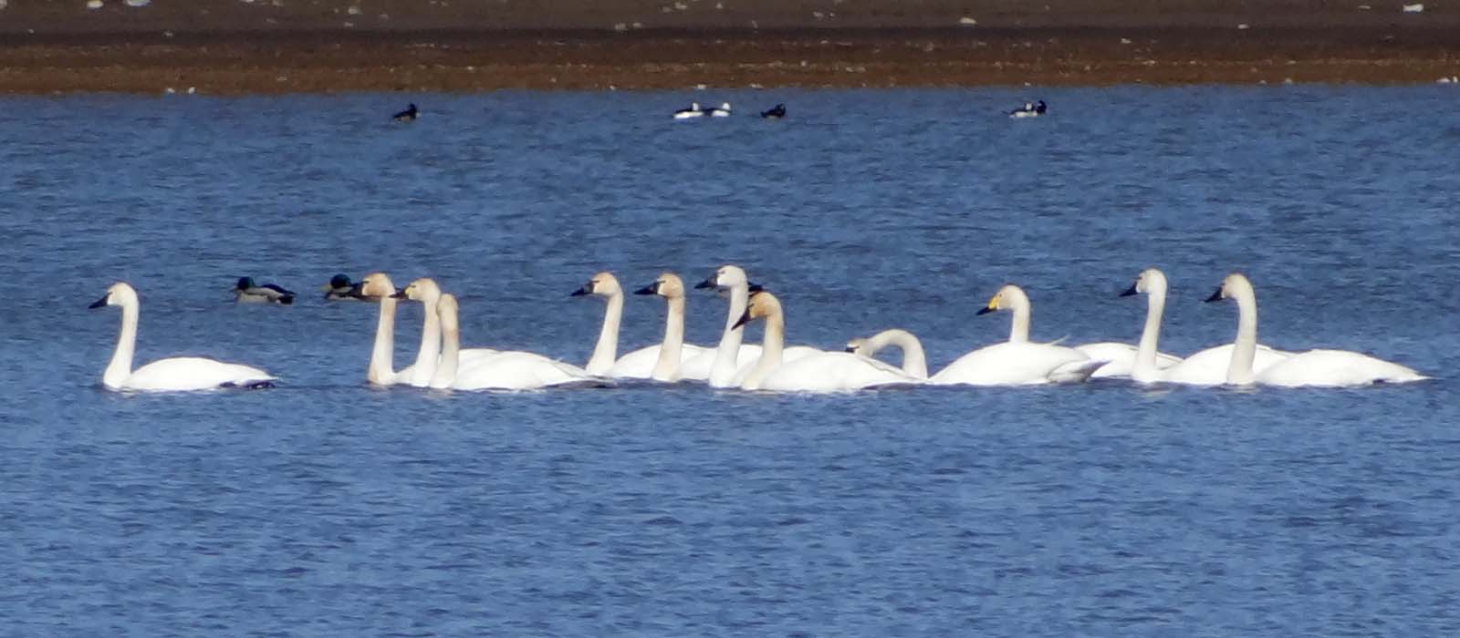
Mar4,2013f 116 Tundra Swan 11 + 1 Bewick's Swan

Old Carnegie Library (Lewiston, Idaho)
Have a View (in color)

Dock Boy takes a break....20050621_4096
The Tip-Top drive-in
Saturday Morning Ride on the Spiral Hwy

1954 GMC 630 Truck

Sharp-shinned Hawk (juvenile, male)
Walk pic

"peeps" ID Difficulties

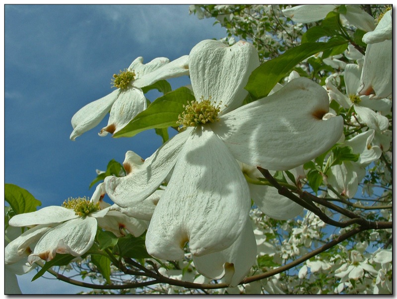
In Full Bloom
Lewiston, Idaho
Lewiston, Idaho
Canyon view on Cloverland Road
A dash of winter in early march
Lewiston, Idaho

Yellow Rape Plant
IMG_1846 (1)
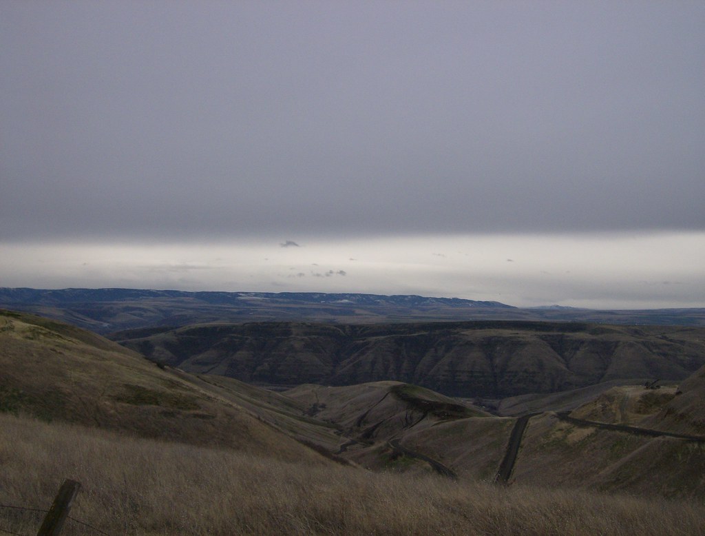
Plateau turns to desert, Lewiston

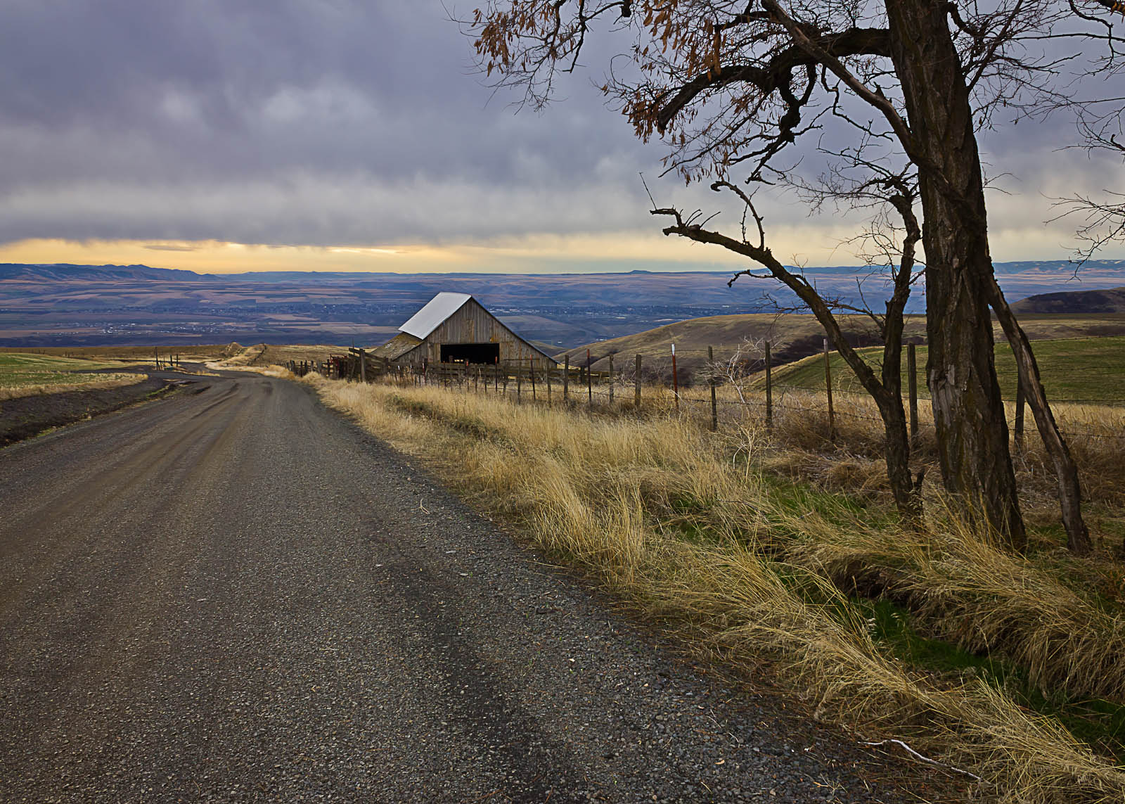
Friday Gravel

Yellowlegs Comparison
Evening Walk Sky
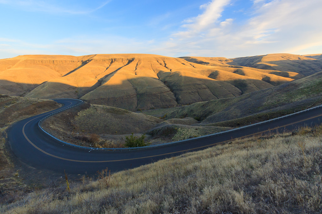
Old Spiral Highway
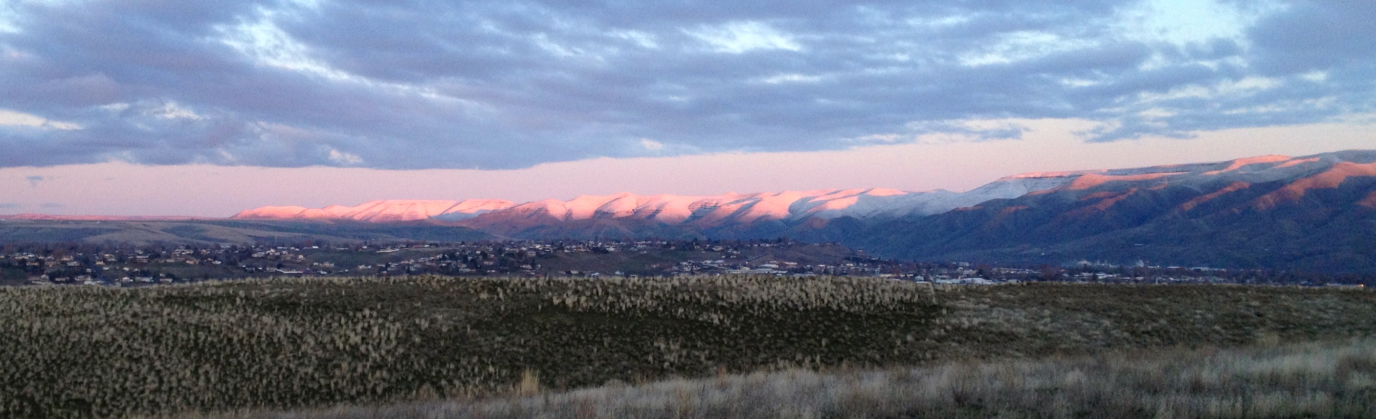
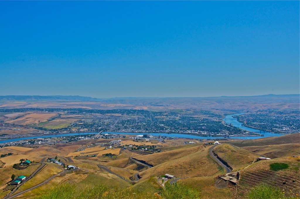
Looking down at Lewiston, Idaho
Sage Bakery Ride

Early Riser
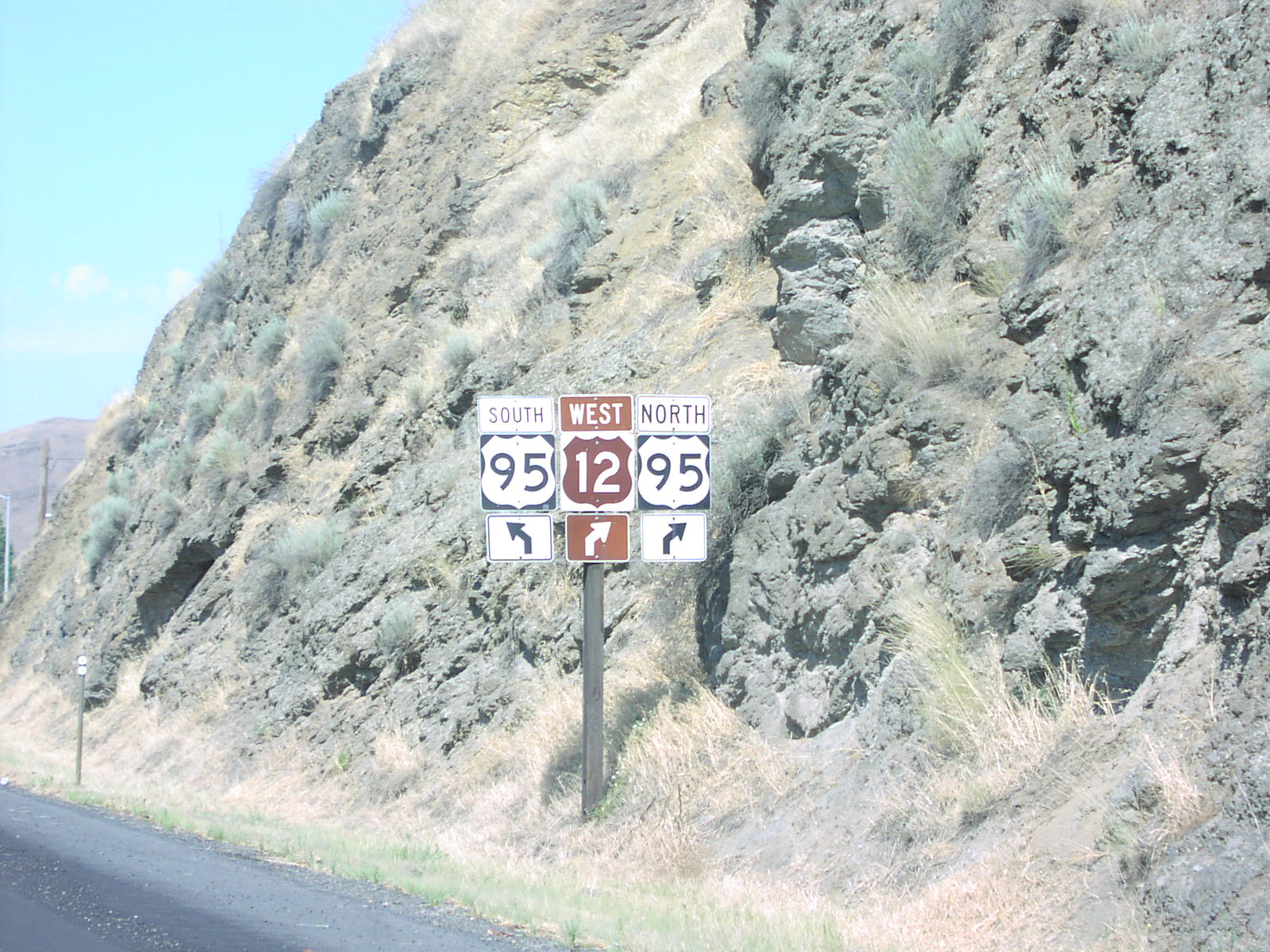
US-12 West at US-95
Topographic Map of Bryden Ave, Lewiston, ID, USA
Find elevation by address:

Places near Bryden Ave, Lewiston, ID, USA:
924 Magnolia St
923 Magnolia St
820 Preston Ave
3431 14th Street C
1437 Powers Ave
Tammany Creek Road
3611 16th St
201 S Garden Ct
Lewiston
Transportation-interstate Bridge
Lewiston Airport
2008 Birch Ave
455 Knoll Crest Ct
3812 22nd St
2205 Wheatlands Ave
2027 1st St
3215 Echo Hills Dr
Riverpoint Drive
Asotin
2875 Grandview Dr
Recent Searches:
- Elevation map of Greenland, Greenland
- Elevation of Sullivan Hill, New York, New York, 10002, USA
- Elevation of Morehead Road, Withrow Downs, Charlotte, Mecklenburg County, North Carolina, 28262, USA
- Elevation of 2800, Morehead Road, Withrow Downs, Charlotte, Mecklenburg County, North Carolina, 28262, USA
- Elevation of Yangbi Yi Autonomous County, Yunnan, China
- Elevation of Pingpo, Yangbi Yi Autonomous County, Yunnan, China
- Elevation of Mount Malong, Pingpo, Yangbi Yi Autonomous County, Yunnan, China
- Elevation map of Yongping County, Yunnan, China
- Elevation of North 8th Street, Palatka, Putnam County, Florida, 32177, USA
- Elevation of 107, Big Apple Road, East Palatka, Putnam County, Florida, 32131, USA
- Elevation of Jiezi, Chongzhou City, Sichuan, China
- Elevation of Chongzhou City, Sichuan, China
- Elevation of Huaiyuan, Chongzhou City, Sichuan, China
- Elevation of Qingxia, Chengdu, Sichuan, China
- Elevation of Corso Fratelli Cairoli, 35, Macerata MC, Italy
- Elevation of Tallevast Rd, Sarasota, FL, USA
- Elevation of 4th St E, Sonoma, CA, USA
- Elevation of Black Hollow Rd, Pennsdale, PA, USA
- Elevation of Oakland Ave, Williamsport, PA, USA
- Elevation of Pedrógão Grande, Portugal