Elevation of Asotin County, WA, USA
Location: United States > Washington >
Longitude: -117.20852
Latitude: 46.1460123
Elevation: 1136m / 3727feet
Barometric Pressure: 88KPa
Elevation Map:
Satellite Map:
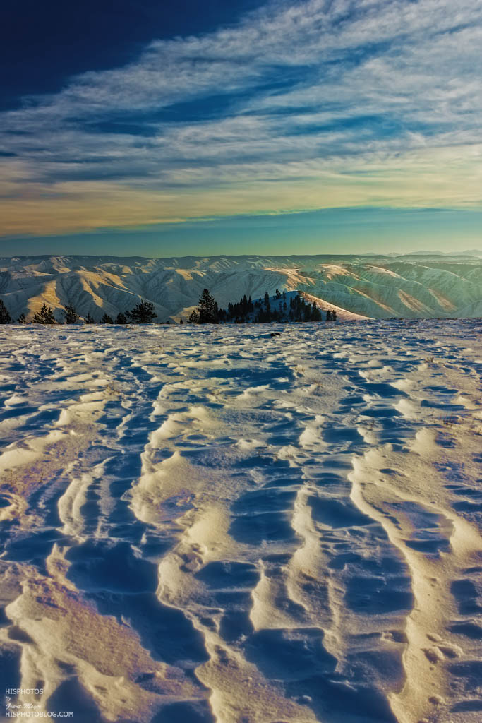
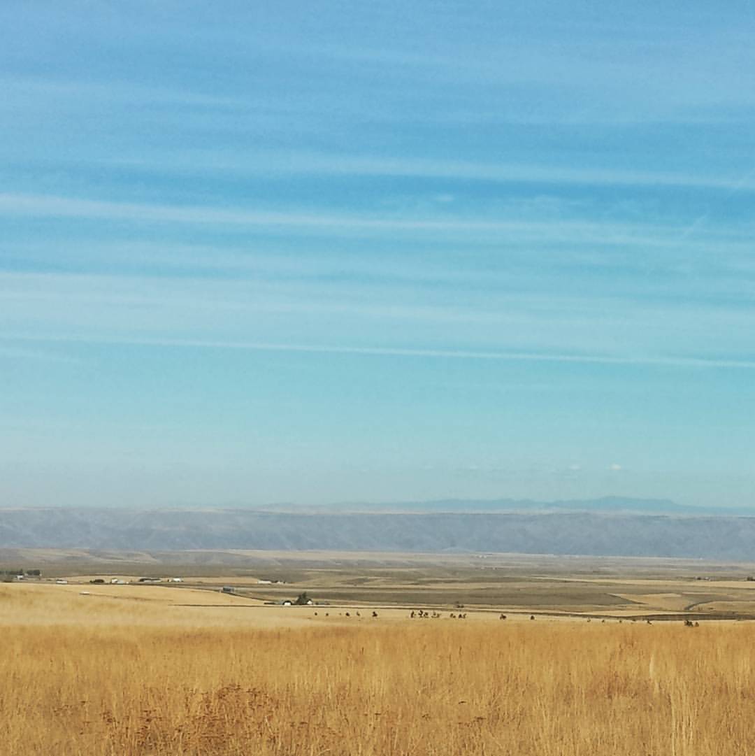
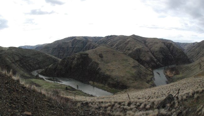
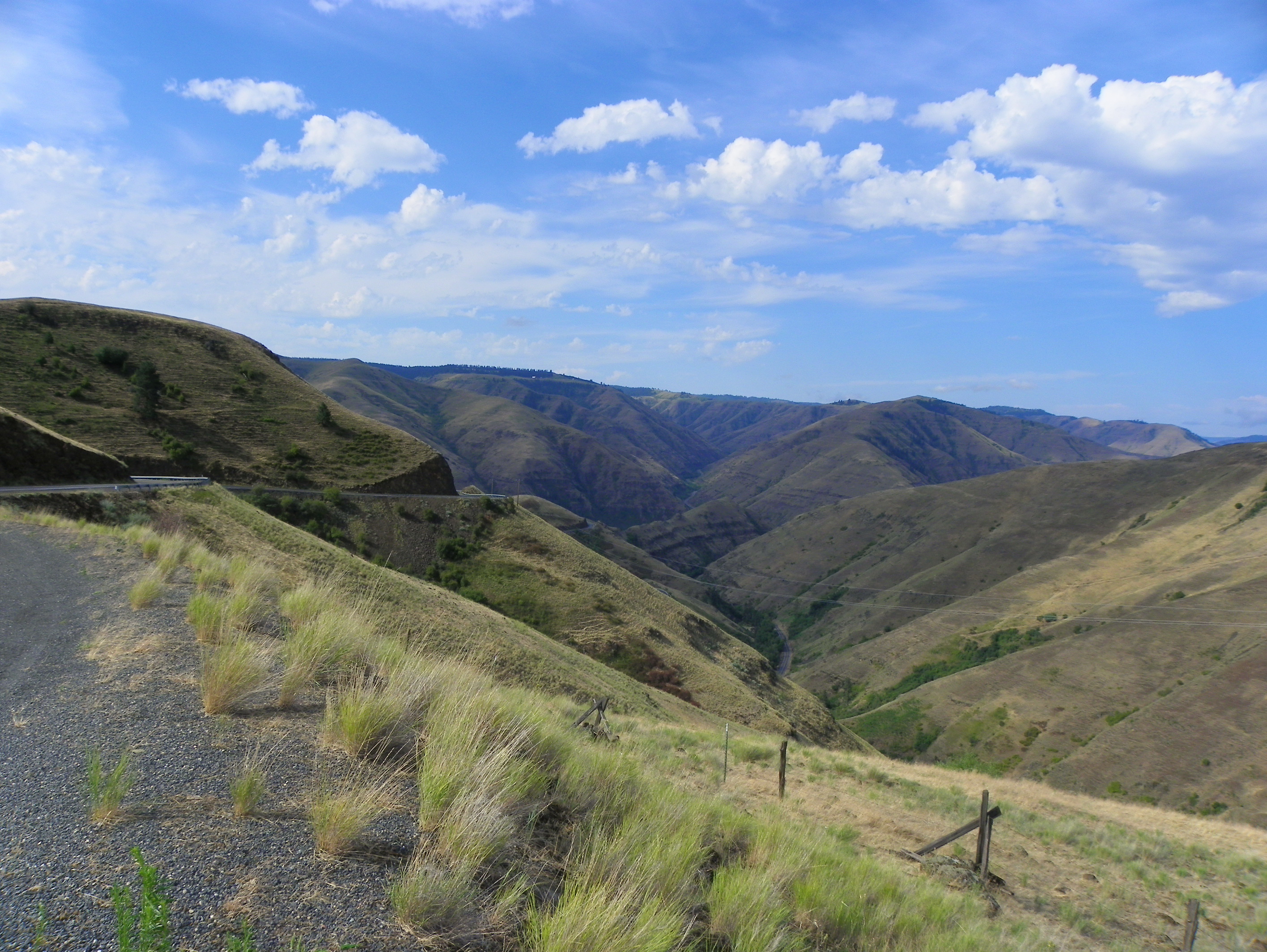
Related Photos:
I will follow...

Solitary Clara
Fantastic view of the countryside.

Mt Misery
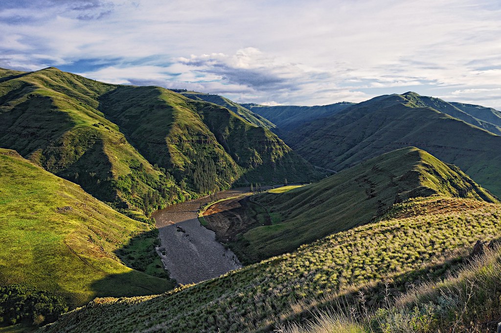
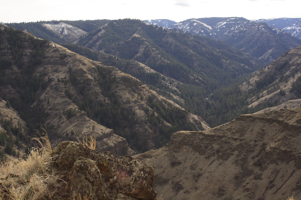
View into Grande Ronde canyon from Rattlesnake Grade

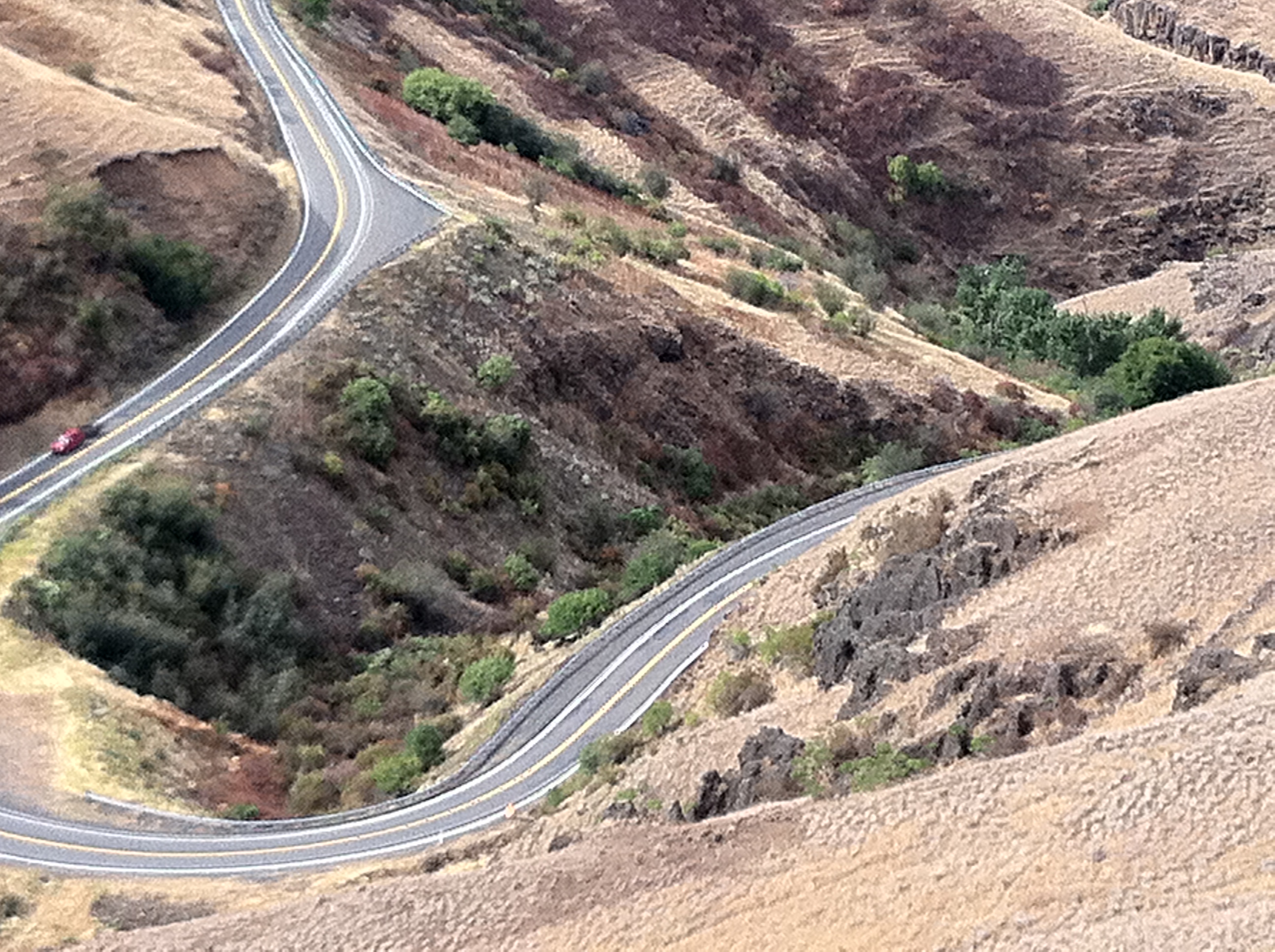
Now this is living
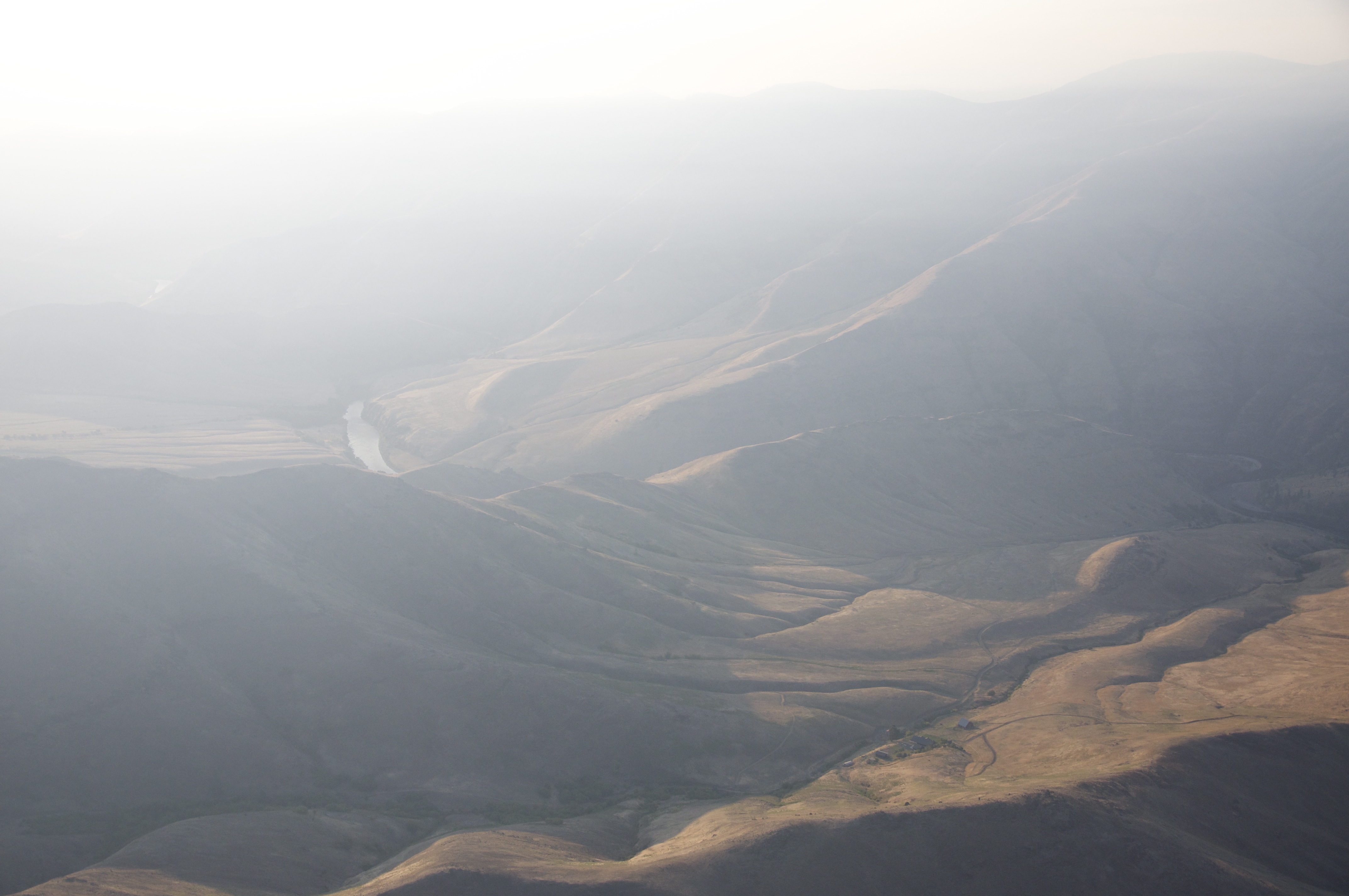
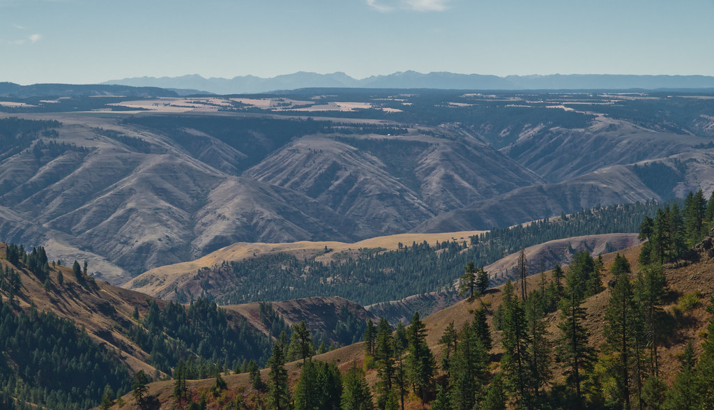
View from the Lewiston - Enterprise Highway
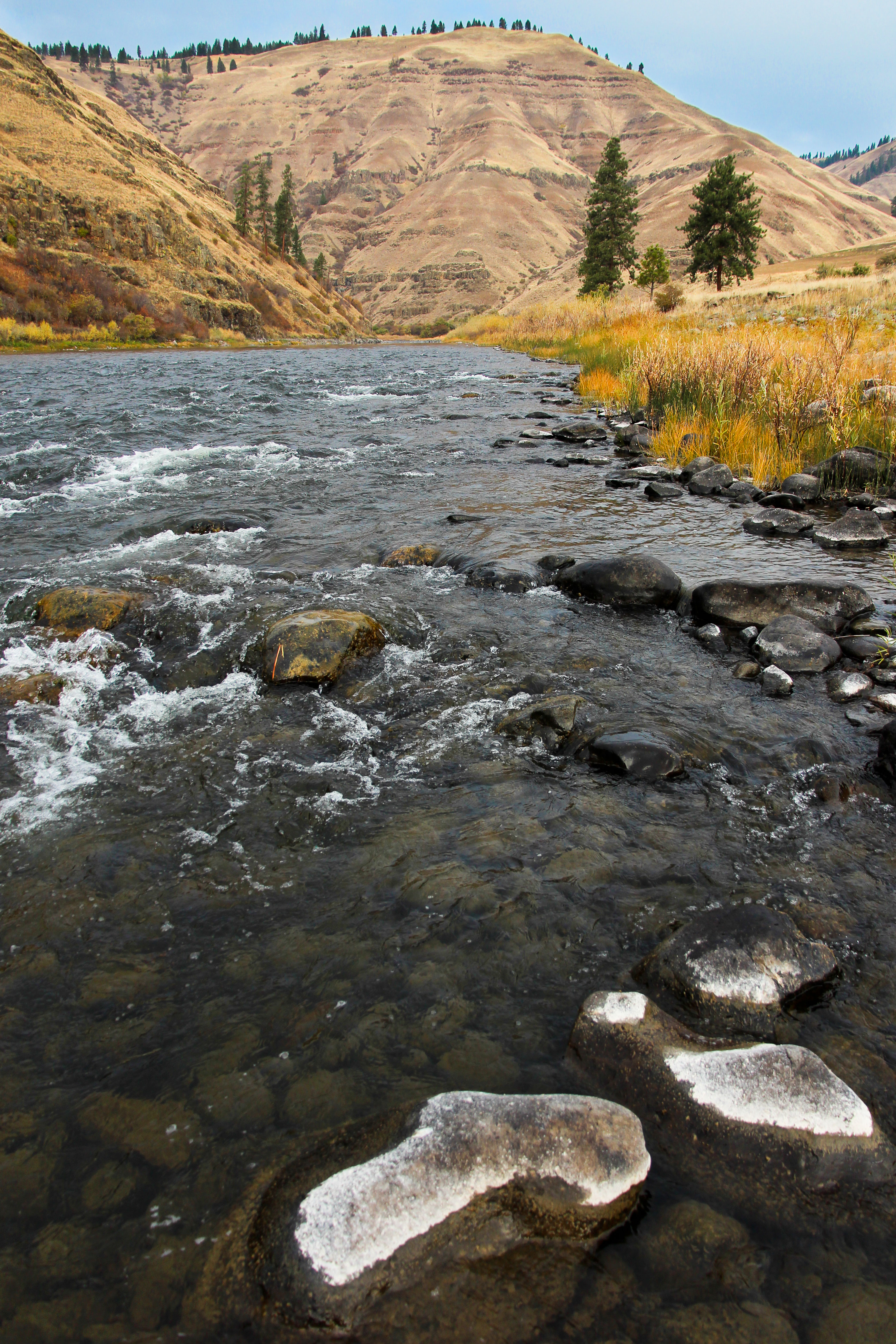
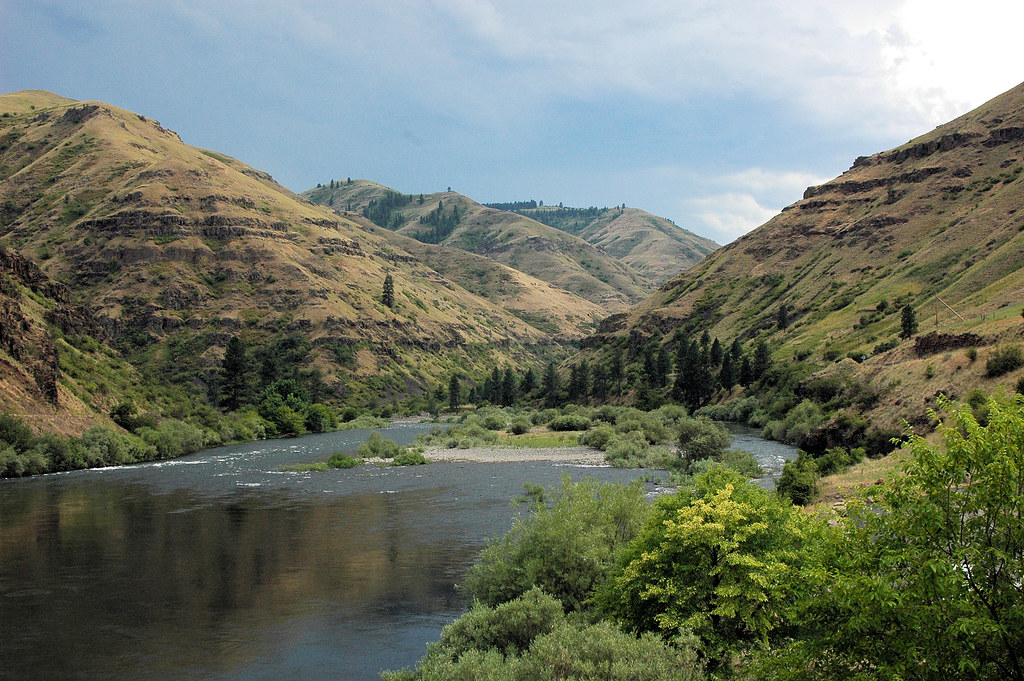
Grande Ronde River

Camp4.jpg

Sangster Rd shack
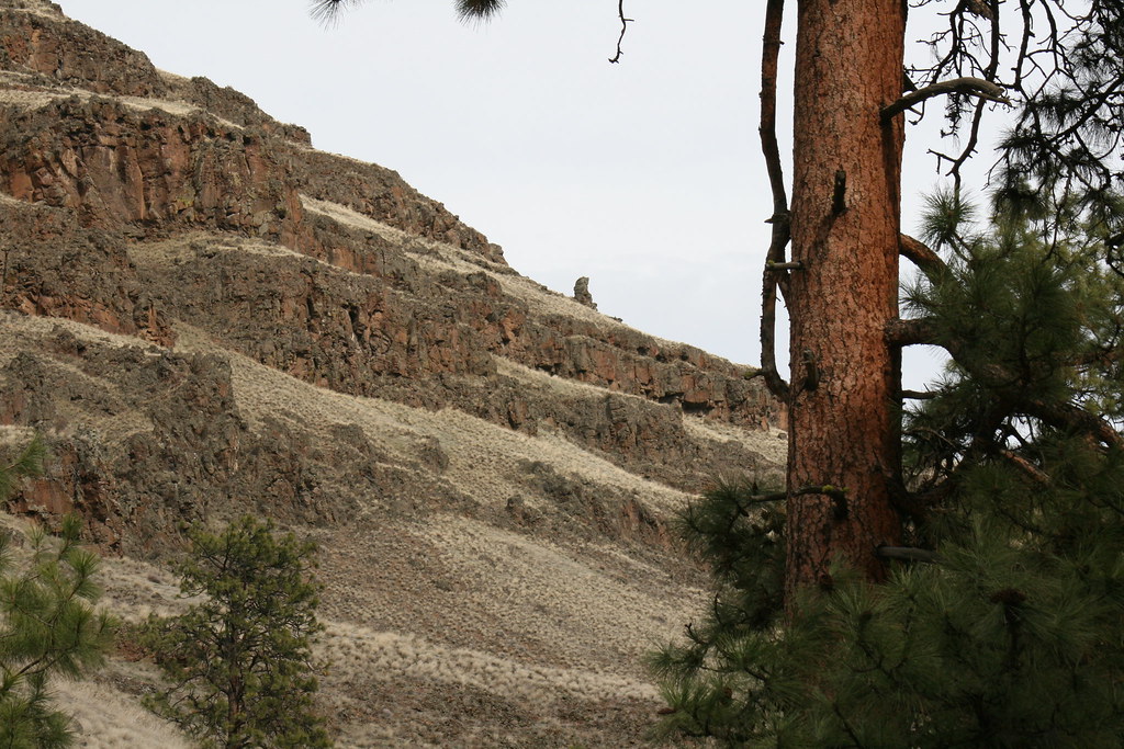
Big Butte from Forgey Rd
Tout juste manquer Carole
Grande Ronde River

DSCF4679.JPG
Grande Ronde River
asotin creek

Boggans.jpg

Rock Wren

Puffer Butte
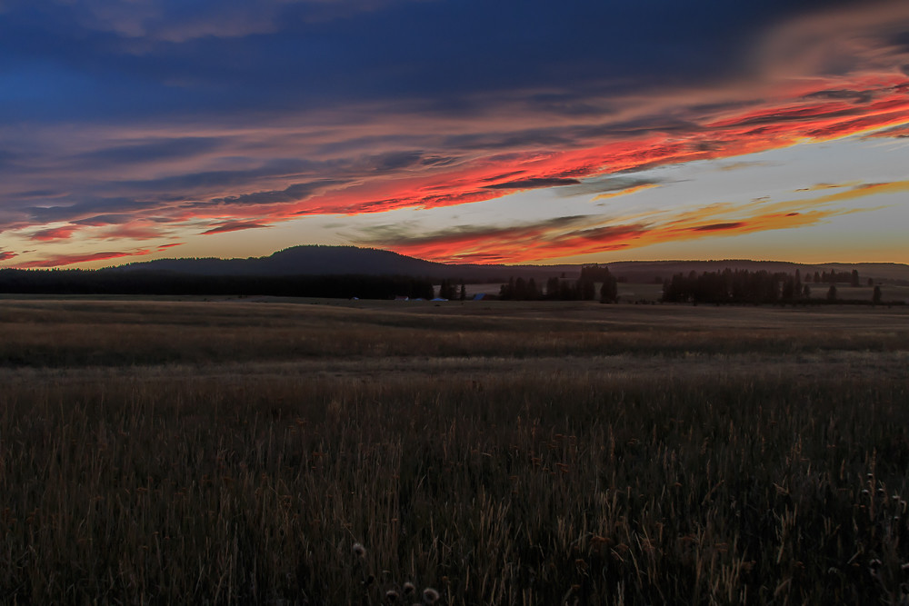
Fresh Air
D70-0708-039 - Grand Ronde River
asotin creek
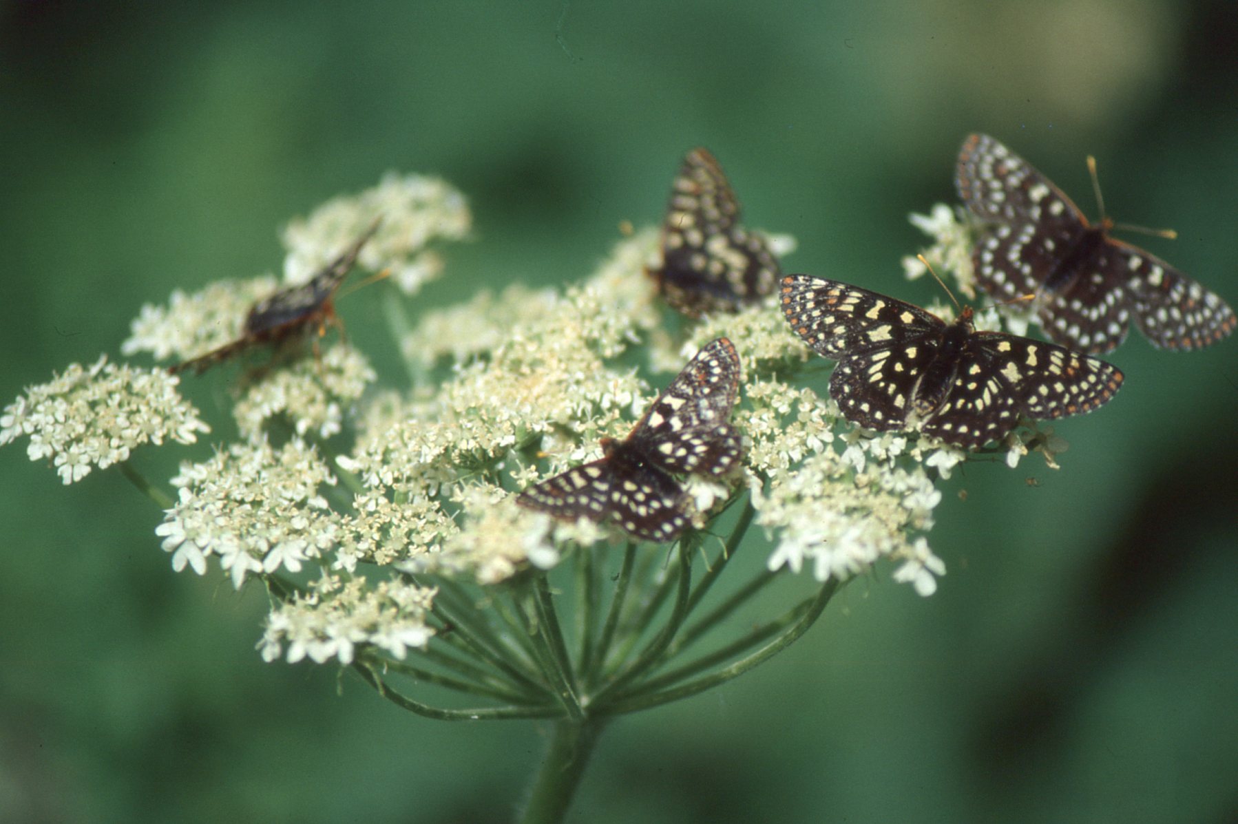
Euphydryas chalcedona on Heracleum lanatum
Topographic Map of Asotin County, WA, USA
Find elevation by address:

Places in Asotin County, WA, USA:
Places near Asotin County, WA, USA:
Heller Bar
Rogersburg
Asotin
Riverpoint Drive
Snake River Rd, Asotin, WA, USA
Flora
2800 22nd St
2015 6th Ave
1725 6th Ave
1672 7th Ave
2275 Pitchstone Dr
2875 Grandview Dr
3215 Echo Hills Dr
455 Knoll Crest Ct
Lewiston Airport
2027 1st St
Troy
201 S Garden Ct
Tammany Creek Road
820 Preston Ave
Recent Searches:
- Elevation of Corso Fratelli Cairoli, 35, Macerata MC, Italy
- Elevation of Tallevast Rd, Sarasota, FL, USA
- Elevation of 4th St E, Sonoma, CA, USA
- Elevation of Black Hollow Rd, Pennsdale, PA, USA
- Elevation of Oakland Ave, Williamsport, PA, USA
- Elevation of Pedrógão Grande, Portugal
- Elevation of Klee Dr, Martinsburg, WV, USA
- Elevation of Via Roma, Pieranica CR, Italy
- Elevation of Tavkvetili Mountain, Georgia
- Elevation of Hartfords Bluff Cir, Mt Pleasant, SC, USA