Elevation of Zaza Rd, Lewiston, ID, USA
Location: United States > Idaho > Nez Perce County > Lewiston >
Longitude: -116.838576
Latitude: 46.094917
Elevation: 1598m / 5243feet
Barometric Pressure: 0KPa
Related Photos:
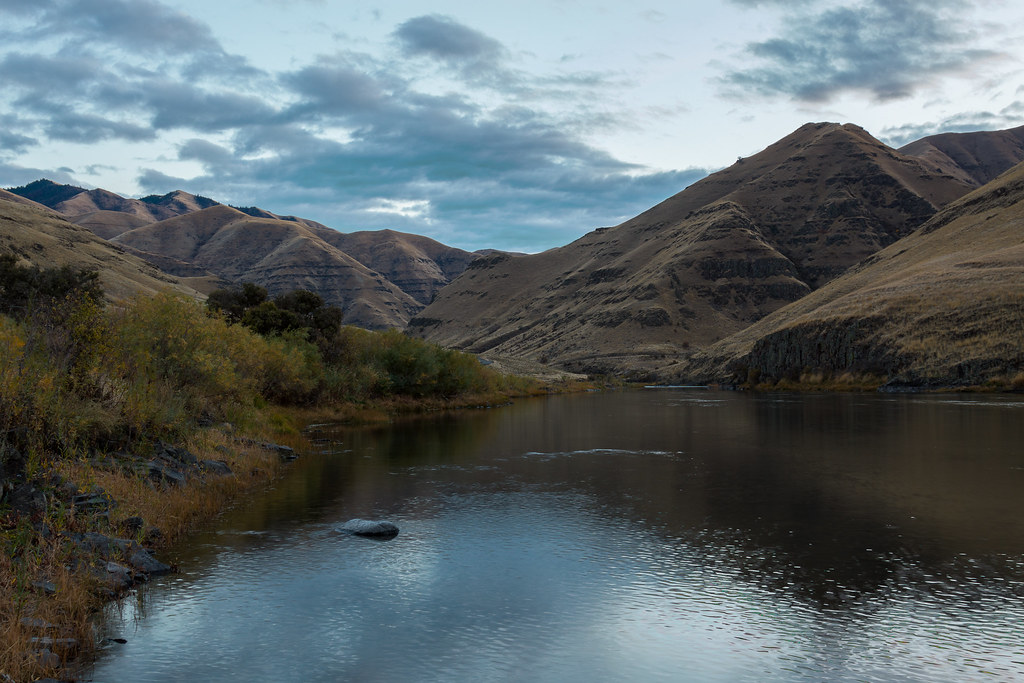
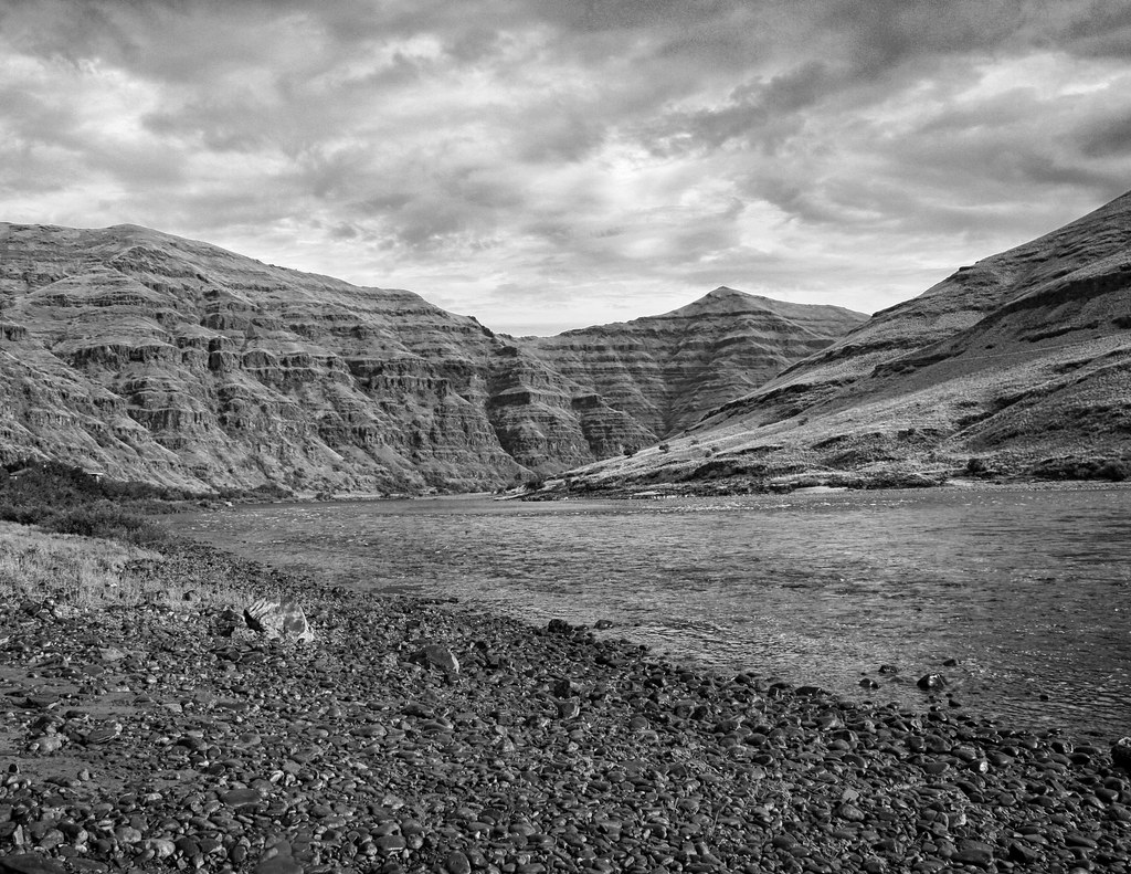
Snake River

Greenish Blue
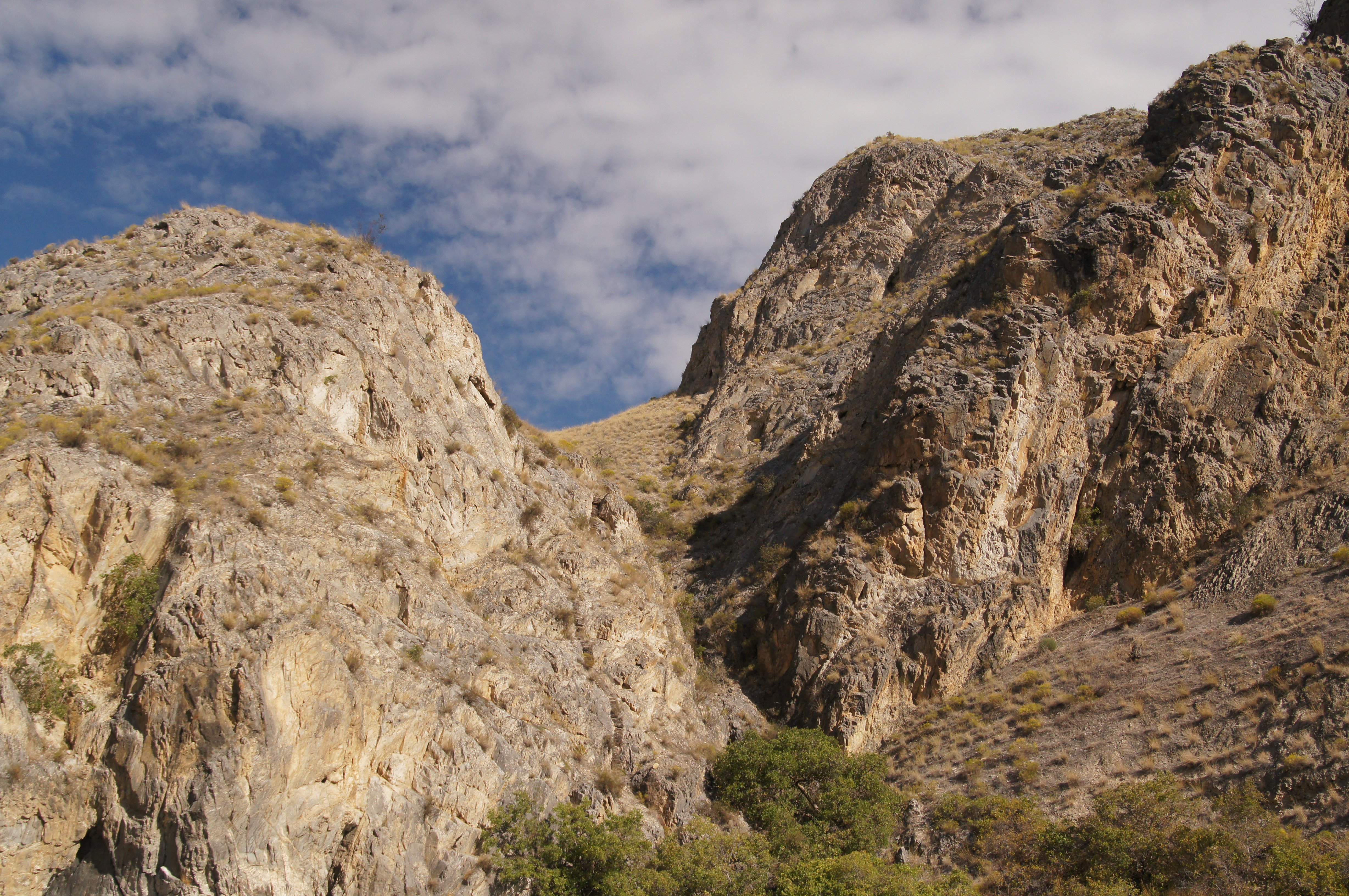
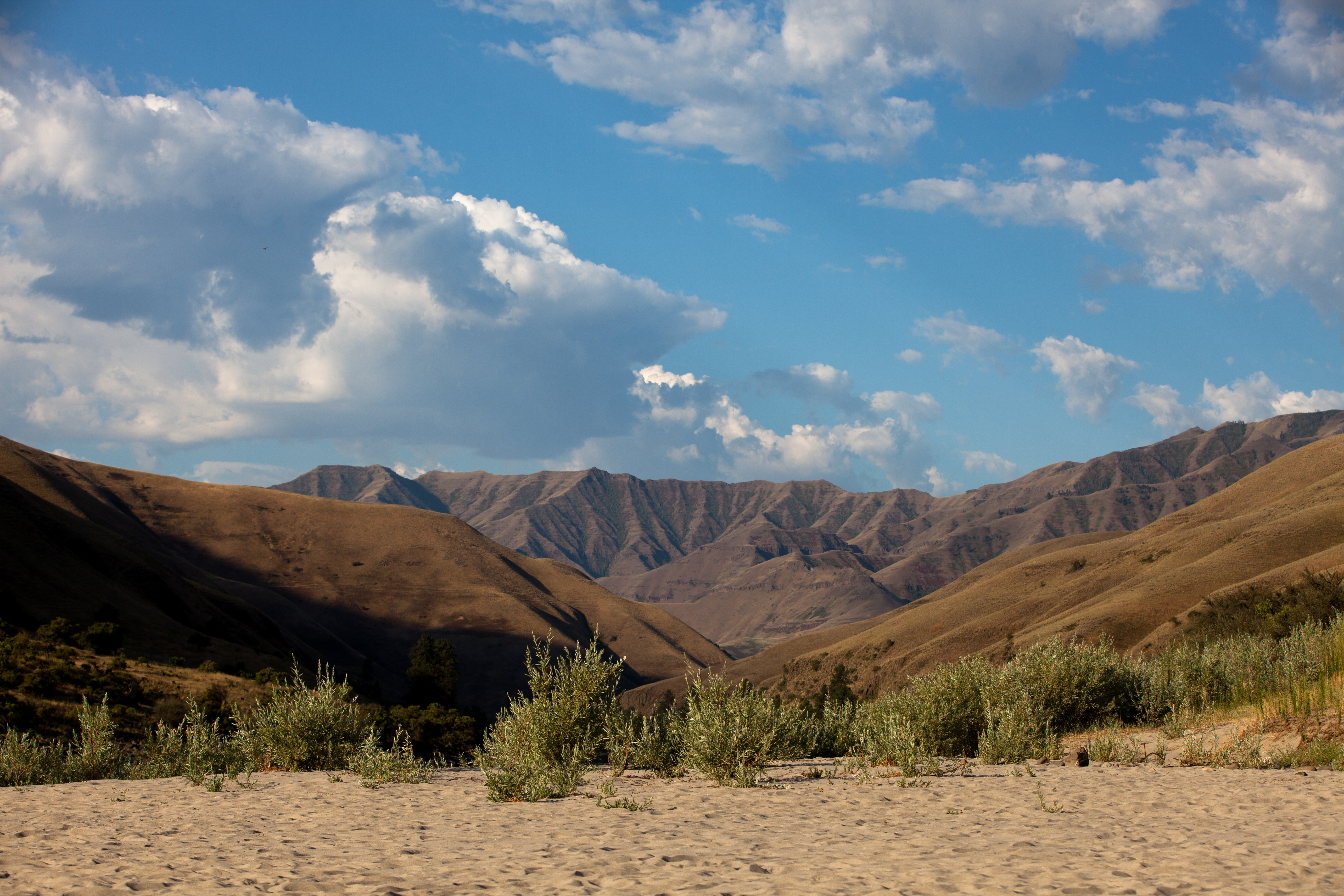
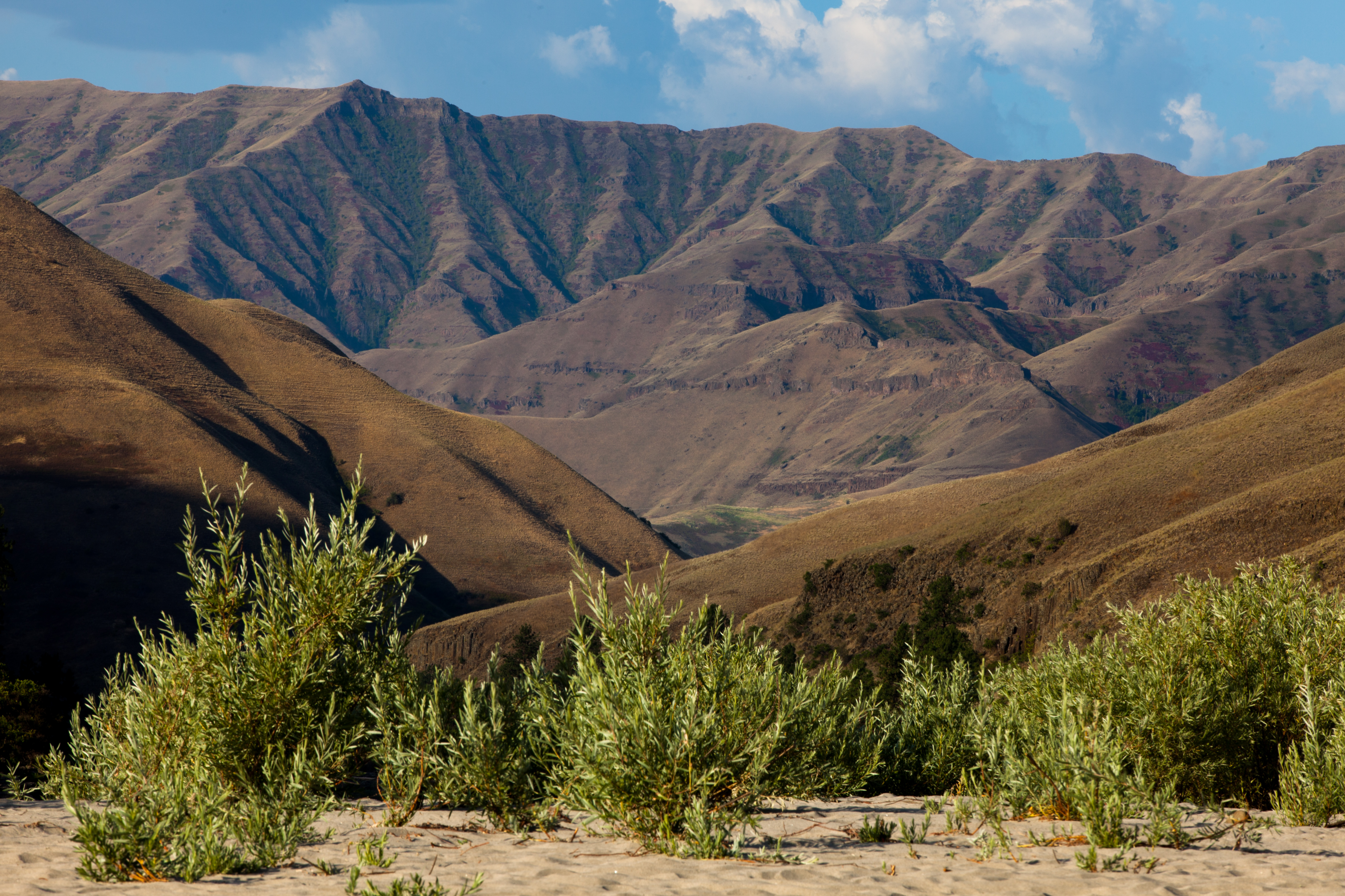
Snake River Canyon

Greenish Blue

Buffalo Eddy

First Group
Grand Ronde
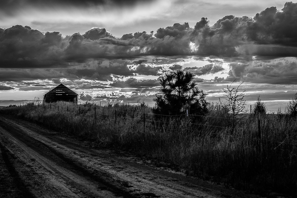
The Mail Truck Doesn"t Come by Here
Awesomeness of the Snake River in Septmeber

Sunset and Hardpack

March Beach Time

1693267-R1-E016
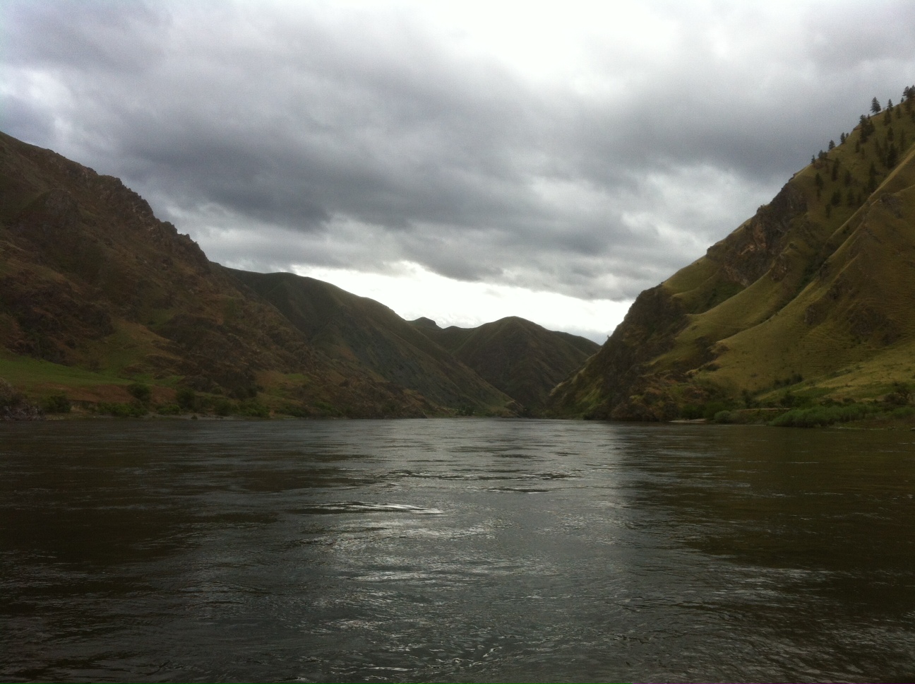
Ominous Hell's Canyon
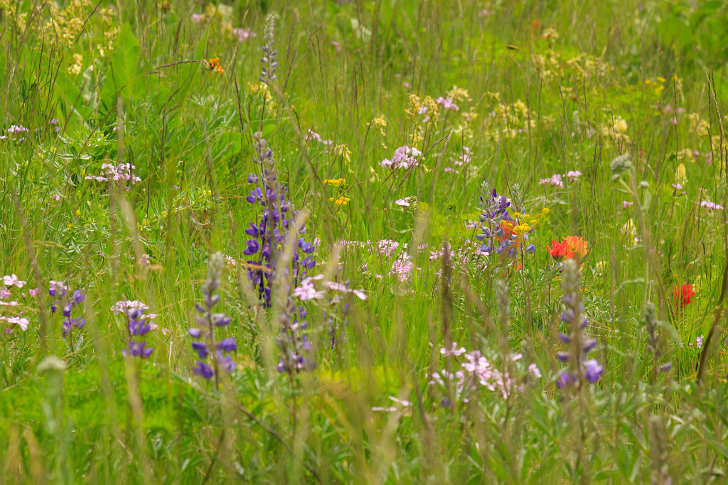
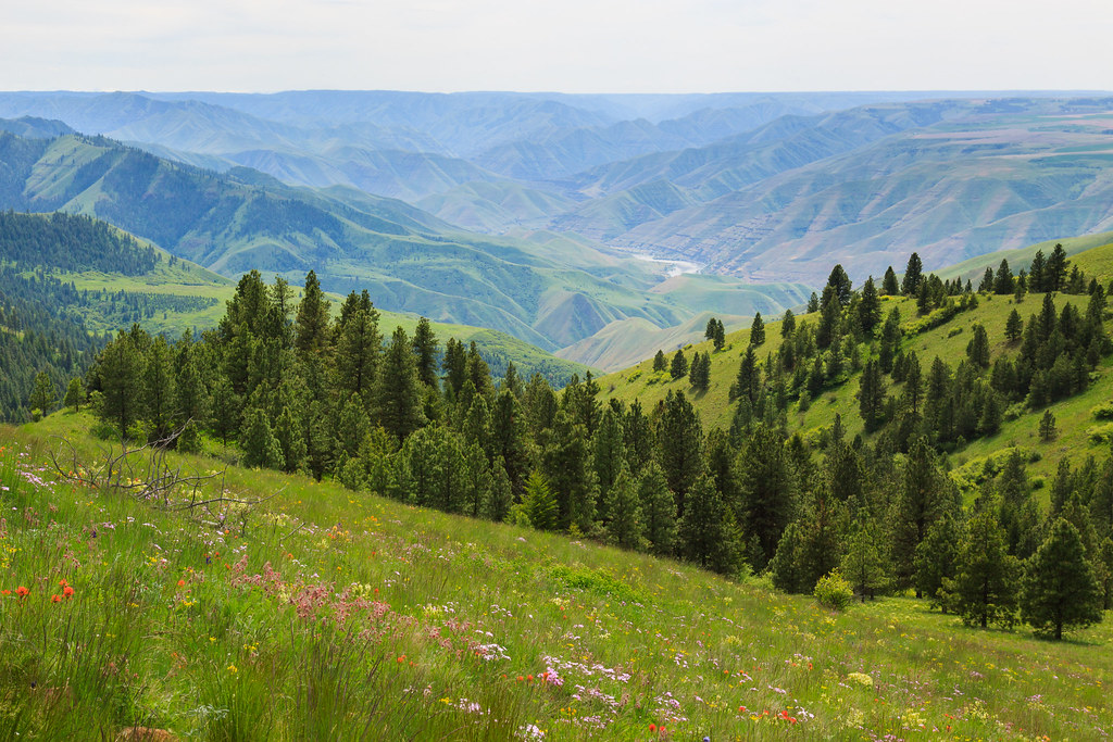
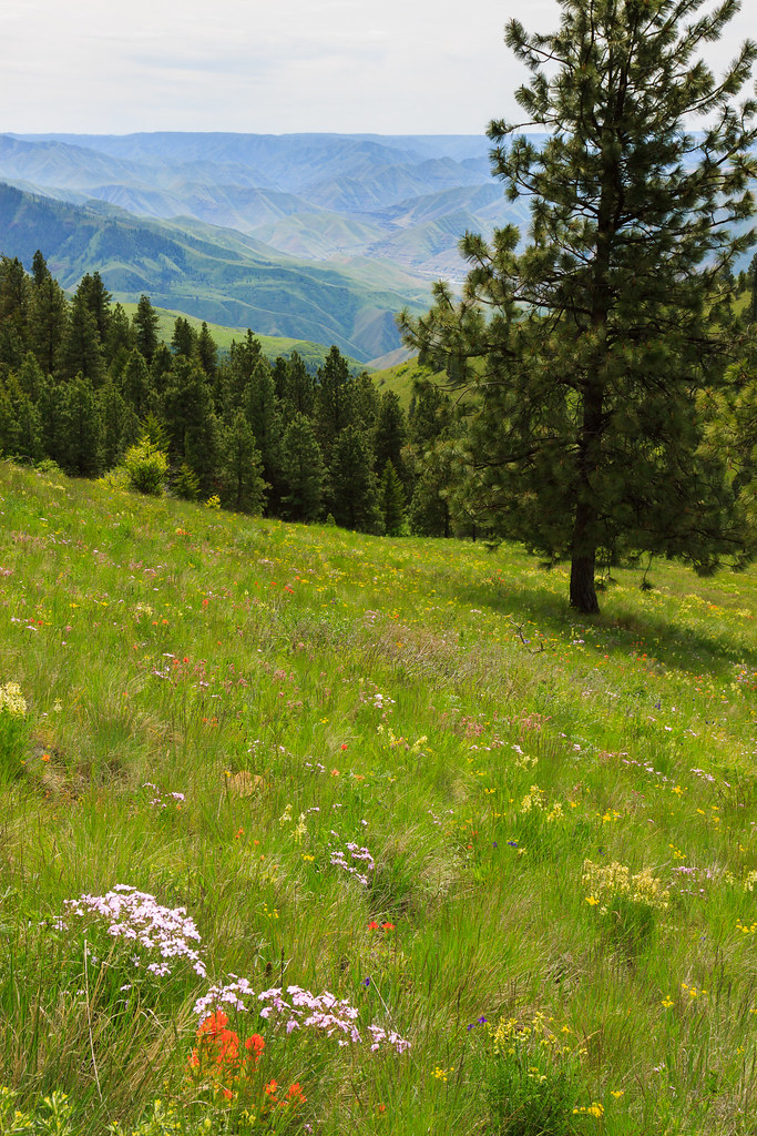
Prairie Flowers
White sky
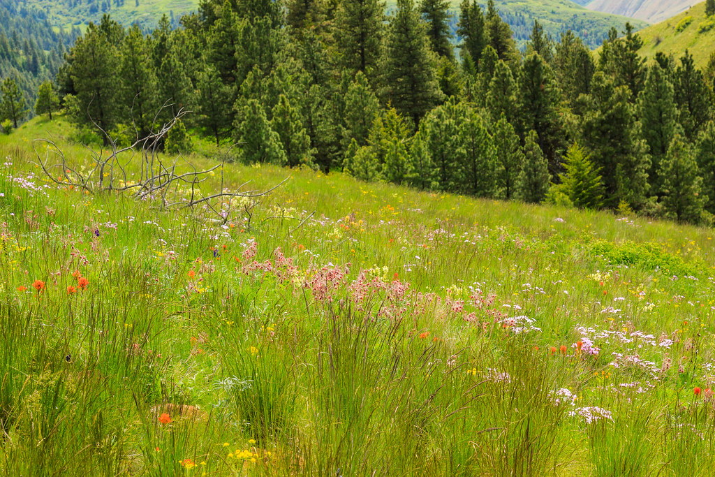
Prairie Wildflowers

HellerBar.jpg
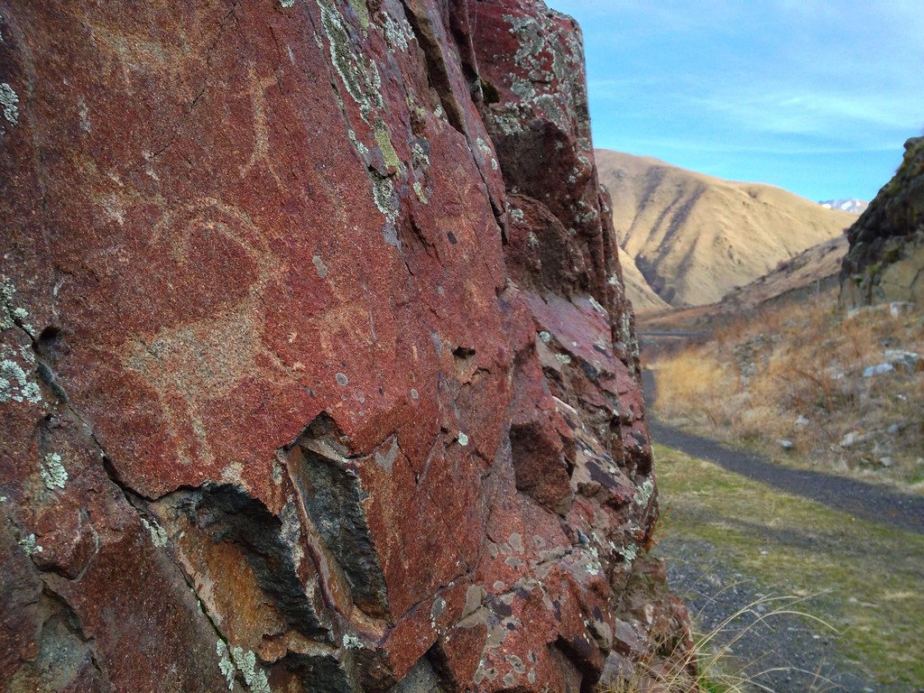
Buffalo Eddie Petroglyphs
Snake River Gorge
Rafting Lower Salmon 20120726-376.jpg
Rafting Lower Salmon 20120726-377.jpg
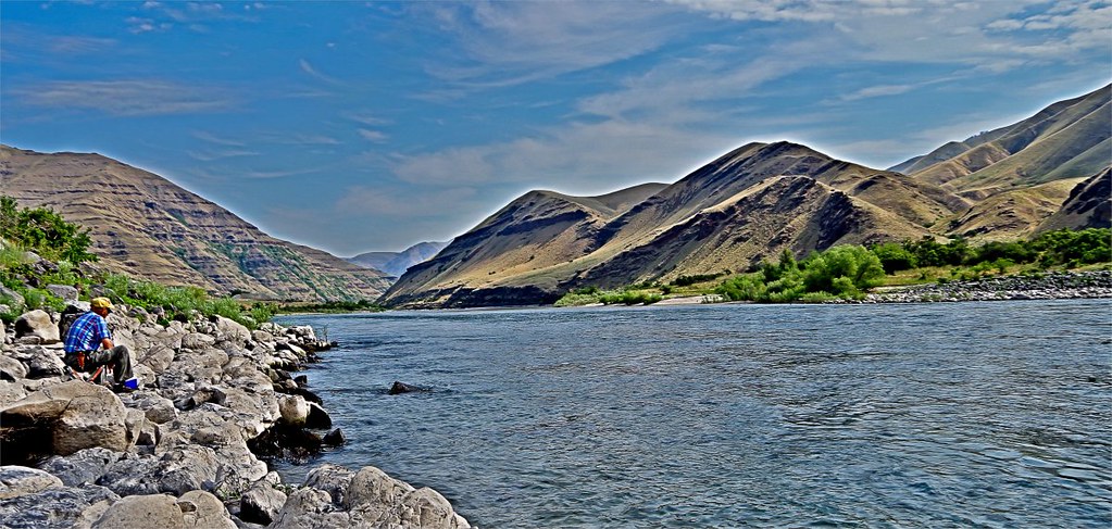
Fishing with Gramps HDR
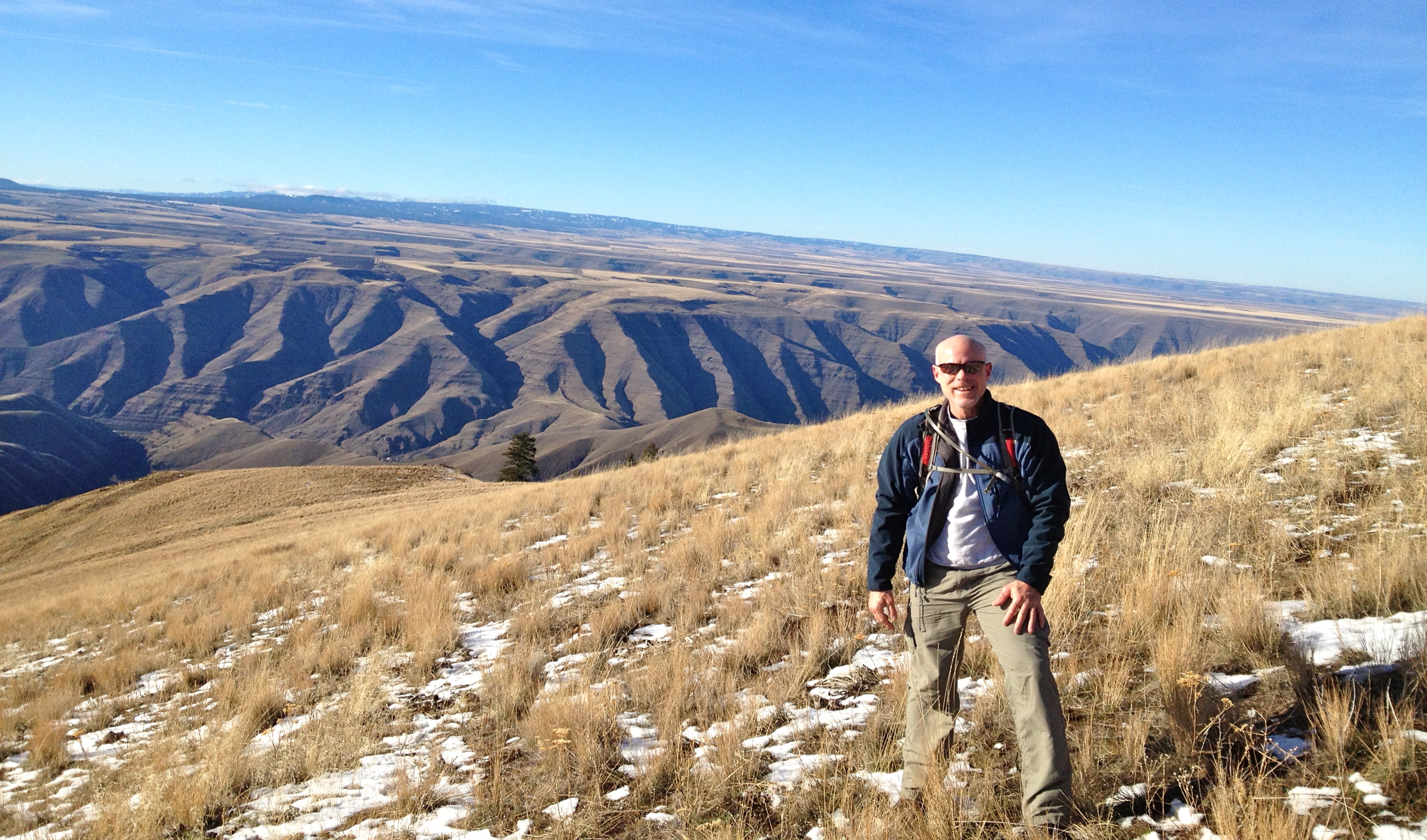
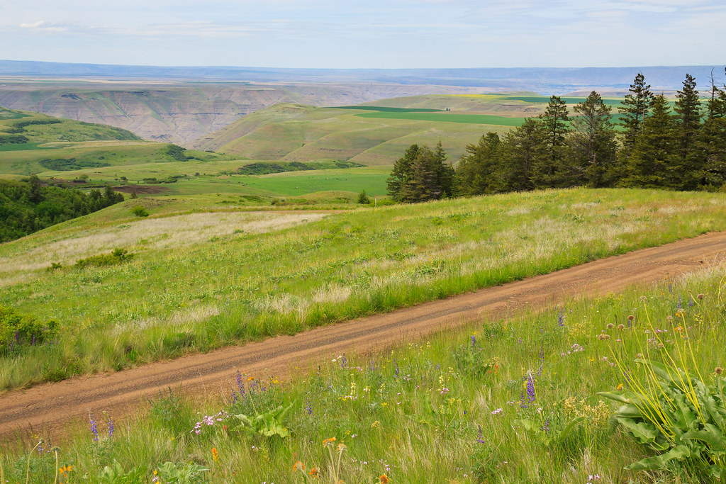
Winter Waha Walk
Topographic Map of Zaza Rd, Lewiston, ID, USA
Find elevation by address:

Places near Zaza Rd, Lewiston, ID, USA:
Black Bear Bend
42681 Flatiron Rd
Bluejay Ln, Lewiston, ID, USA
Waha
Cache Creek Ranch
Rogersburg
Heller Bar
Snake River Rd, Asotin, WA, USA
35365 Powell Rd
35345 Pheasant Loop Rd
35046 Powell Rd
19295 Associates Dr
30875 Deacon Ridge Rd
US-95, Lapwai, ID, USA
3812 22nd St
Goldner Rd, Lapwai, ID, USA
2008 Birch Ave
Tammany Creek Road
Wheat Ln, Culdesac, ID, USA
3611 16th St
Recent Searches:
- Elevation of Clifton Down, Clifton, Bristol, City of Bristol, England, BS8 3HU, United Kingdom
- Elevation map of Auvergne-Rhône-Alpes, France
- Elevation map of Upper Savoy, Auvergne-Rhône-Alpes, France
- Elevation of Chamonix-Mont-Blanc, Upper Savoy, Auvergne-Rhône-Alpes, France
- Elevation of 908, Northwood Drive, Bridge Field, Chesapeake, Virginia, 23322, USA
- Elevation map of Nagano Prefecture, Japan
- Elevation of 587, Bascule Drive, Oakdale, Stanislaus County, California, 95361, USA
- Elevation of Stadion Wankdorf, Sempachstrasse, Breitfeld, Bern, Bern-Mittelland administrative district, Bern, 3014, Switzerland
- Elevation of Z024, 76, Emil-von-Behring-Straße, Marbach, Marburg, Landkreis Marburg-Biedenkopf, Hesse, 35041, Germany
- Elevation of Gaskill Road, Hunts Cross, Liverpool, England, L24 9PH, United Kingdom
- Elevation of Speke, Liverpool, England, L24 9HD, United Kingdom
- Elevation of Seqirus, 475, Green Oaks Parkway, Holly Springs, Wake County, North Carolina, 27540, USA
- Elevation of Pasing, Munich, Bavaria, 81241, Germany
- Elevation of 24, Auburn Bay Crescent SE, Auburn Bay, Calgary, Alberta, T3M 0A6, Canada
- Elevation of Denver, 2314, Arapahoe Street, Five Points, Denver, Colorado, 80205, USA
- Elevation of Community of the Beatitudes, 2924, West 43rd Avenue, Sunnyside, Denver, Colorado, 80211, USA
- Elevation map of Litang County, Sichuan, China
- Elevation map of Madoi County, Qinghai, China
- Elevation of 3314, Ohio State Route 114, Payne, Paulding County, Ohio, 45880, USA
- Elevation of Sarahills Drive, Saratoga, Santa Clara County, California, 95070, USA