Elevation of Roanne Creek Road, Roanne Creek Rd, Kentucky, USA
Location: United States > Kentucky > Flat Fork >
Longitude: -83.040027
Latitude: 37.6113164
Elevation: 342m / 1122feet
Barometric Pressure: 97KPa
Elevation Map:
Satellite Map:
Related Photos:

Girls Descending Swinging Bridge Ramp

Elizabeth and Madeline

Elizabeth at Elk Viewing Station BW

Elk Viewing Station Pond

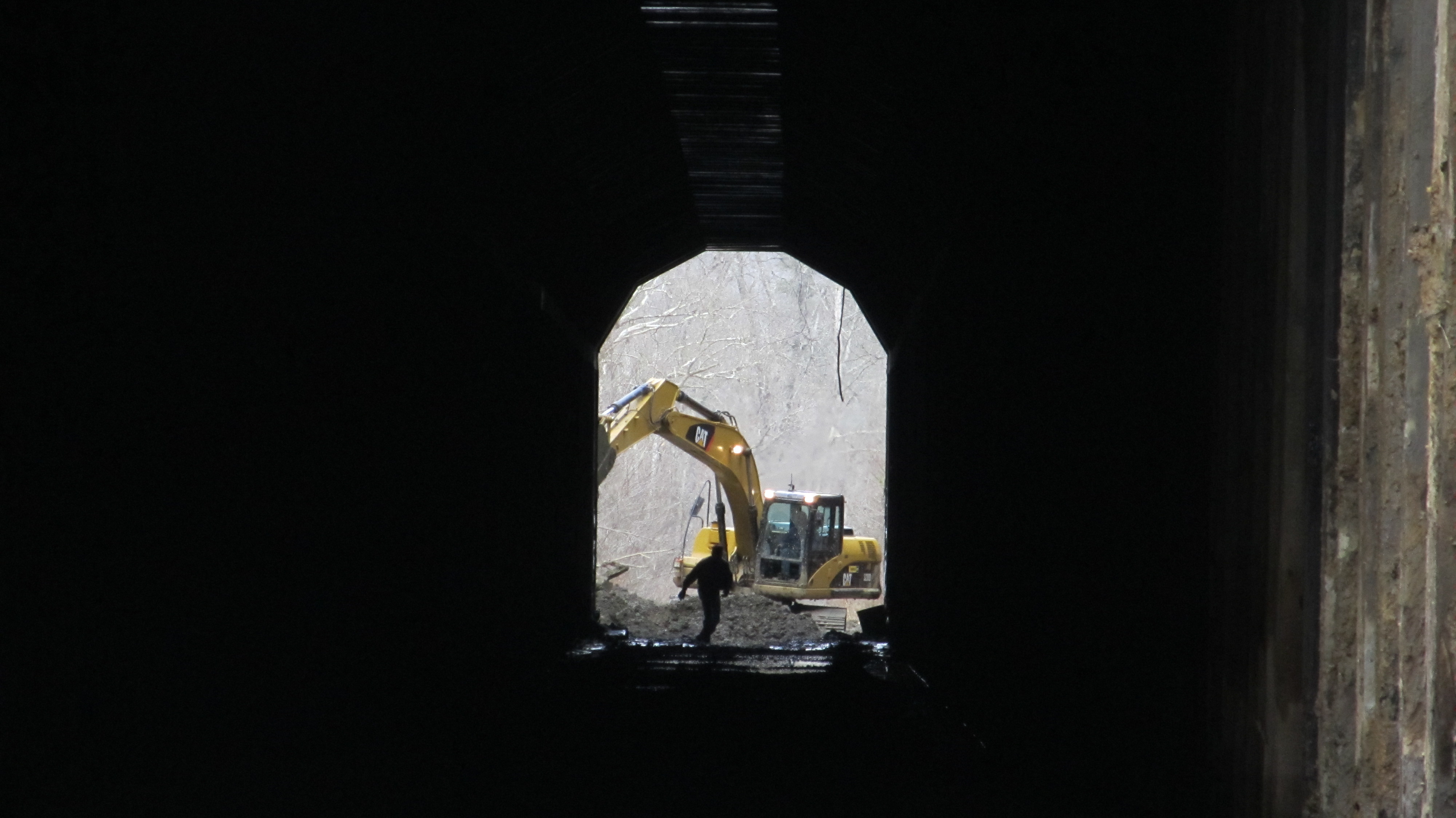
Dawkins Line MP 15.0 - Gun Creek Tunnel - South Portal - DSC00953

Dawkins Line MP 19.7 - Licking River Bridge - South Side - IMG_3909

Dawkins Line MP 16.7 - Trestle Over Gun Creek - IMG_3953

Dawkins Line MP 16.7 - Trestle Over Gun Creek - DSC00615
Dawkins Line MP 14.9 - Gun Creek Tunnel - North Portal - IMG_4685

Dawkins Line MP 15.0 - Gun Creek Tunnel - South Portal - IMG_4690

Dawkins Line MP 15.0 - Gun Creek Tunnel - South Portal - IMG_4687

Eastern Fence Lizard at Elk Viewing Station

Salyersville KY Tornado-32

Dawkins Line Trail - MP 14.9 - Gun Creek Tunnel - DSC01162

Salyersville KY Tornado-11

Dawkins Trail Line - MP 14.0 - Gun Creek Tunnel - DSC01161

Dawkins Line - MP 17.6 (approx.) -Royalton KY - IMG_4719

Canning Shed

Dawkins Line MP 15.0 - Gun Creek Tunnel - South Portal - IMG_4688
Topographic Map of Roanne Creek Road, Roanne Creek Rd, Kentucky, USA
Find elevation by address:

Places near Roanne Creek Road, Roanne Creek Rd, Kentucky, USA:
Magoffin County
80 Mountain Pkwy, Salyersville, KY, USA
Salyersville
KY-30, Jackson, KY, USA
Tick Lick Road
Meat Scaffold Rd, Jackson, KY, USA
Flat Fork
Bethel Church Rd, Clayhole, KY, USA
Knott County
Emmalena
Carrie
Carrie Post Office
Carrie Loop, Emmalena, KY, USA
Hindman
Lower Sand Lick Road
Taulbee
Clayhole
KY-15, Lost Creek, KY, USA
Breathitt County
119 Cr-1573
Recent Searches:
- Elevation of Corso Fratelli Cairoli, 35, Macerata MC, Italy
- Elevation of Tallevast Rd, Sarasota, FL, USA
- Elevation of 4th St E, Sonoma, CA, USA
- Elevation of Black Hollow Rd, Pennsdale, PA, USA
- Elevation of Oakland Ave, Williamsport, PA, USA
- Elevation of Pedrógão Grande, Portugal
- Elevation of Klee Dr, Martinsburg, WV, USA
- Elevation of Via Roma, Pieranica CR, Italy
- Elevation of Tavkvetili Mountain, Georgia
- Elevation of Hartfords Bluff Cir, Mt Pleasant, SC, USA