Elevation of Cr-, West Liberty, KY, USA
Location: United States > Kentucky > Morgan County > West Liberty >
Longitude: -83.0432604
Latitude: 37.9224526
Elevation: 290m / 951feet
Barometric Pressure: 0KPa
Related Photos:

Paintsville Lake Wildlife Management Area

Paintsville Lake Wildlife Management Area

Paintsville Lake Wildlife Management Area

Paintsville Lake Wildlife Management Area

IMG_0160.jpg

Lampropeltis getula (black kingsnake)
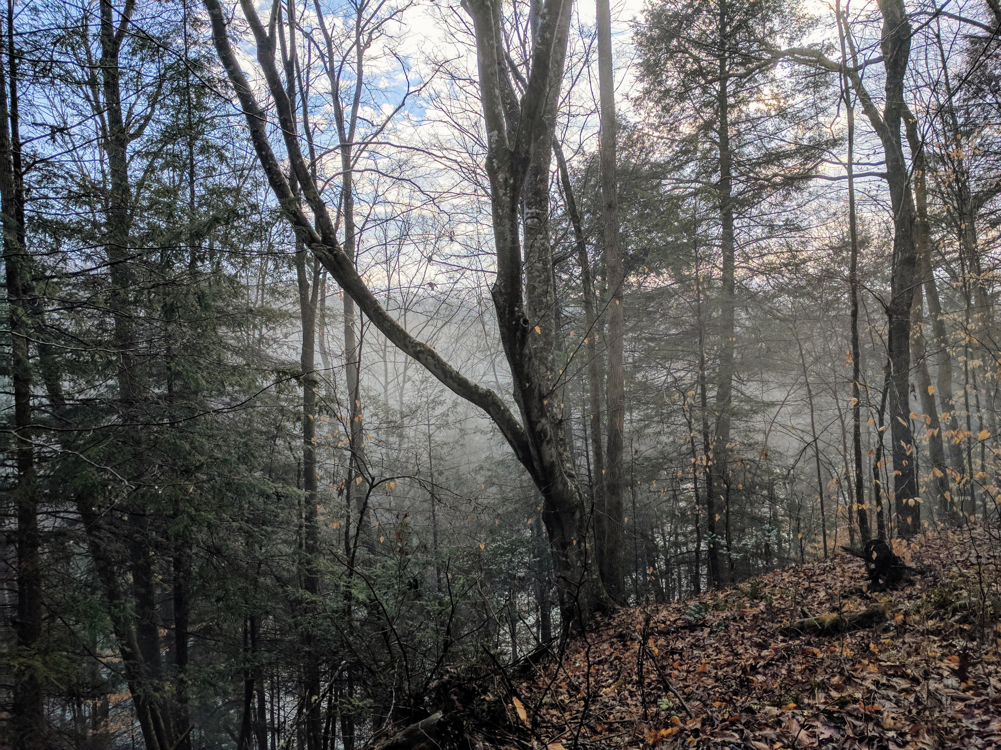
Fog on the lake in the woods
Topographic Map of Cr-, West Liberty, KY, USA
Find elevation by address:

Places near Cr-, West Liberty, KY, USA:
Lower Sand Lick Road
1904 Lick Branch Rd
Flat Fork
Elkfork
KY-, West Liberty, KY, USA
Tick Lick Road
KY-, Elkfork, KY, USA
Spaws Creek Rd, West Liberty, KY, USA
Salyersville
80 Mountain Pkwy, Salyersville, KY, USA
Magoffin County
West Liberty
425 Main St
46 Smiths Rd, West Liberty, KY, USA
W Main St, West Liberty, KY, USA
Morgan County
US-, West Liberty, KY, USA
Liberty Rd, West Liberty, KY, USA
1446 Centerville Rd
Roanne Creek Road
Recent Searches:
- Elevation map of Greenland, Greenland
- Elevation of Sullivan Hill, New York, New York, 10002, USA
- Elevation of Morehead Road, Withrow Downs, Charlotte, Mecklenburg County, North Carolina, 28262, USA
- Elevation of 2800, Morehead Road, Withrow Downs, Charlotte, Mecklenburg County, North Carolina, 28262, USA
- Elevation of Yangbi Yi Autonomous County, Yunnan, China
- Elevation of Pingpo, Yangbi Yi Autonomous County, Yunnan, China
- Elevation of Mount Malong, Pingpo, Yangbi Yi Autonomous County, Yunnan, China
- Elevation map of Yongping County, Yunnan, China
- Elevation of North 8th Street, Palatka, Putnam County, Florida, 32177, USA
- Elevation of 107, Big Apple Road, East Palatka, Putnam County, Florida, 32131, USA
- Elevation of Jiezi, Chongzhou City, Sichuan, China
- Elevation of Chongzhou City, Sichuan, China
- Elevation of Huaiyuan, Chongzhou City, Sichuan, China
- Elevation of Qingxia, Chengdu, Sichuan, China
- Elevation of Corso Fratelli Cairoli, 35, Macerata MC, Italy
- Elevation of Tallevast Rd, Sarasota, FL, USA
- Elevation of 4th St E, Sonoma, CA, USA
- Elevation of Black Hollow Rd, Pennsdale, PA, USA
- Elevation of Oakland Ave, Williamsport, PA, USA
- Elevation of Pedrógão Grande, Portugal