Elevation of 80 Mountain Pkwy, Salyersville, KY, USA
Location: United States > Kentucky > Magoffin County > Salyersville >
Longitude: -83.020948
Latitude: 37.7331742
Elevation: 269m / 883feet
Barometric Pressure: 98KPa
Elevation Map:
Satellite Map:
Related Photos:
Dawkins Line MP 15.0 - Gun Creek Tunnel - South Portal - DSC00953
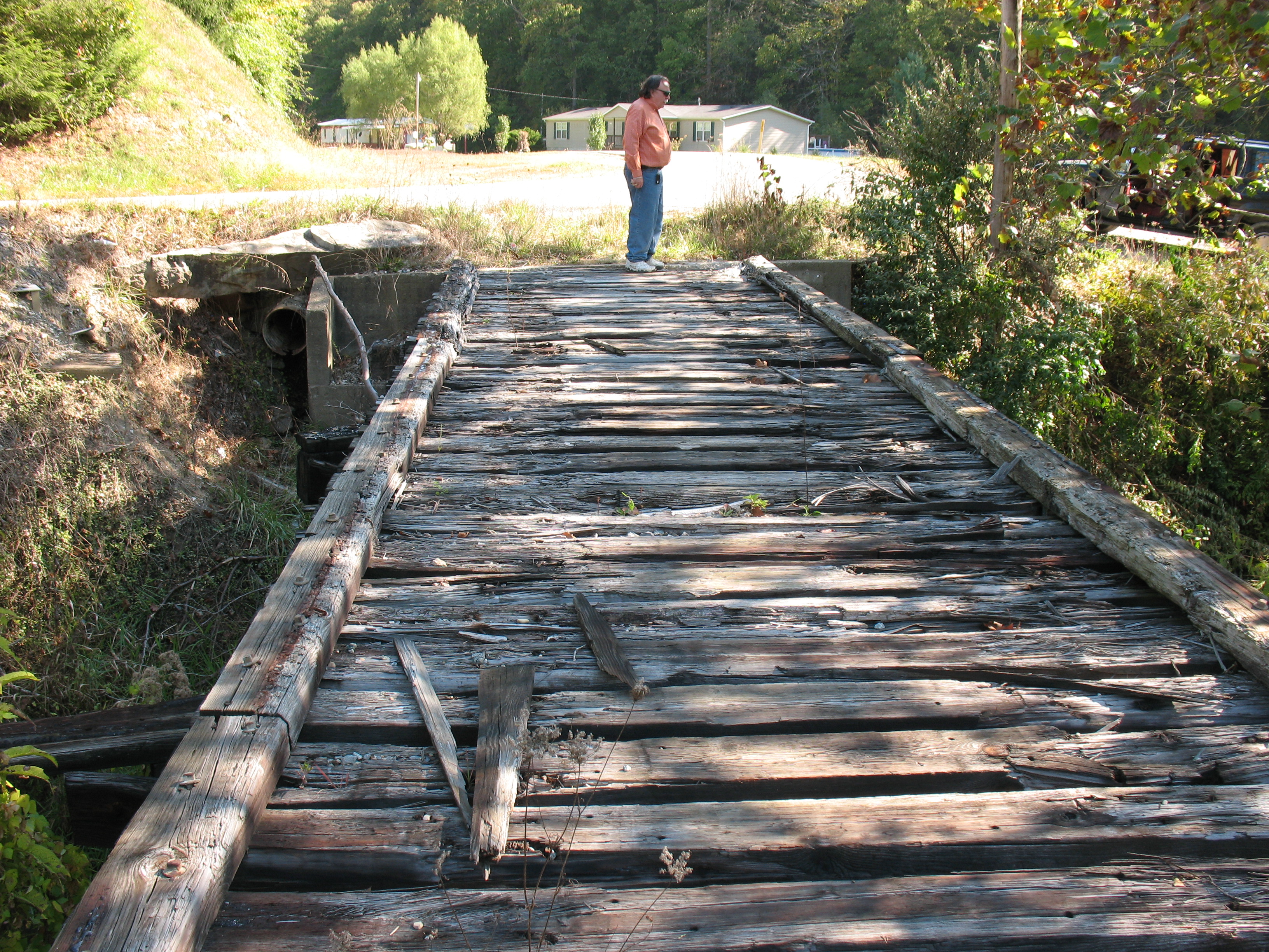
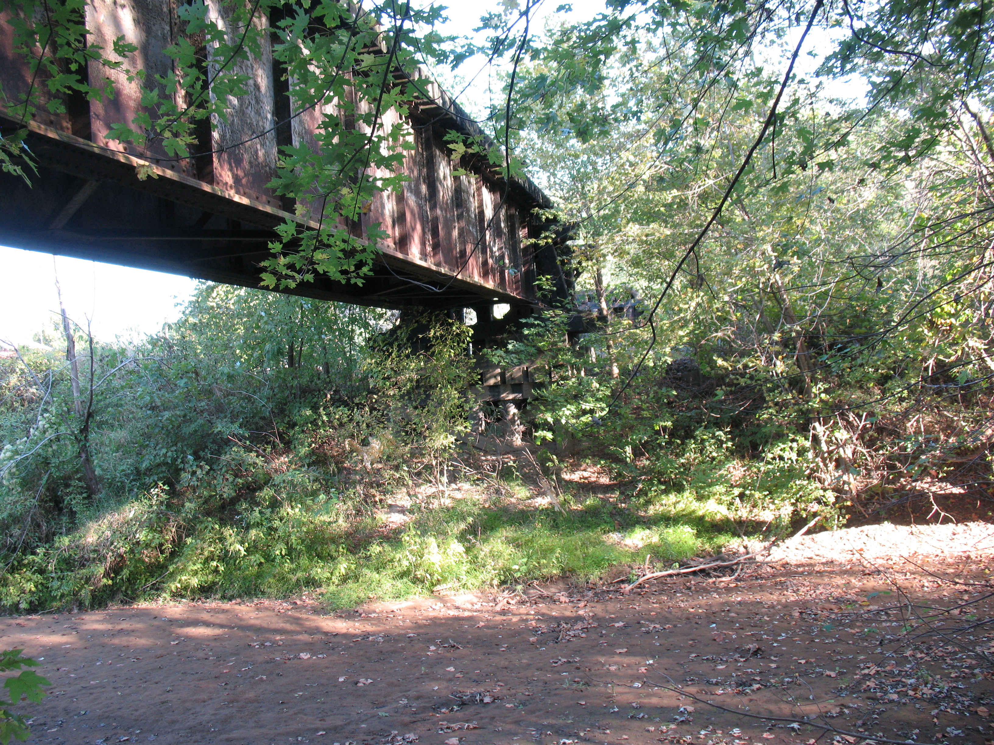
Dawkins Line MP 16.7 - Trestle Over Gun Creek - IMG_3953

Dawkins Line MP 15.0 - Gun Creek Tunnel - South Portal - IMG_4687
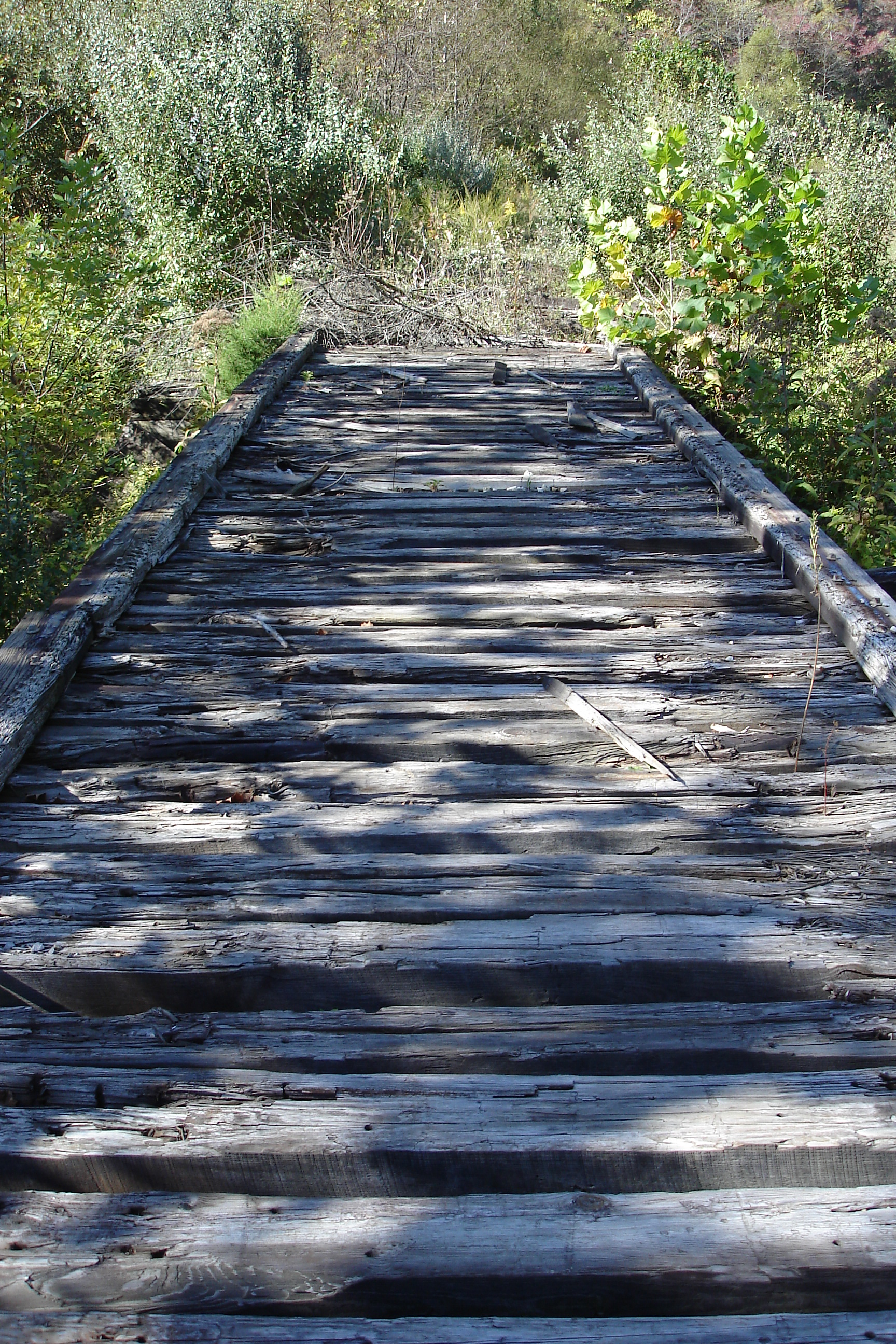
Dawkins Line MP 16.7 - Trestle Over Gun Creek - DSC00615
Dawkins Line MP 15.0 - Gun Creek Tunnel - South Portal - IMG_4690
Dawkins Line MP 19.7 - Licking River Bridge - South Side - IMG_3909

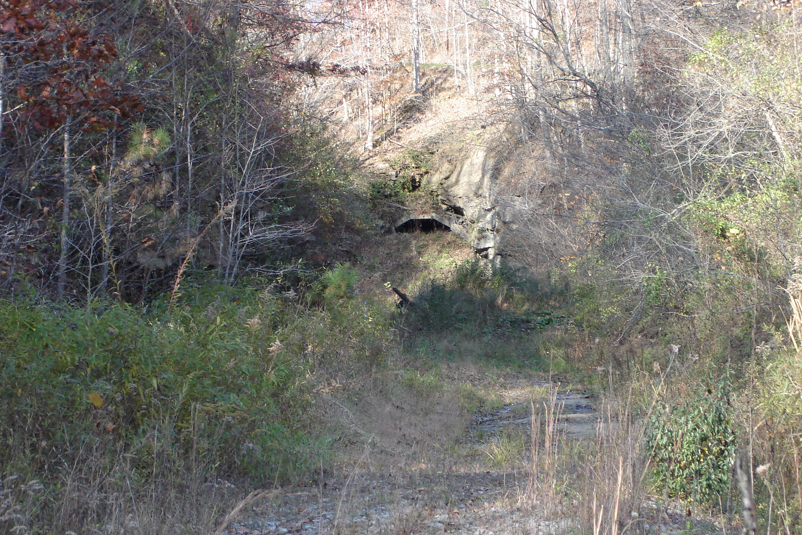
Dawkins Line MP 14.9 - Gun Creek Tunnel - North Portal - IMG_4685
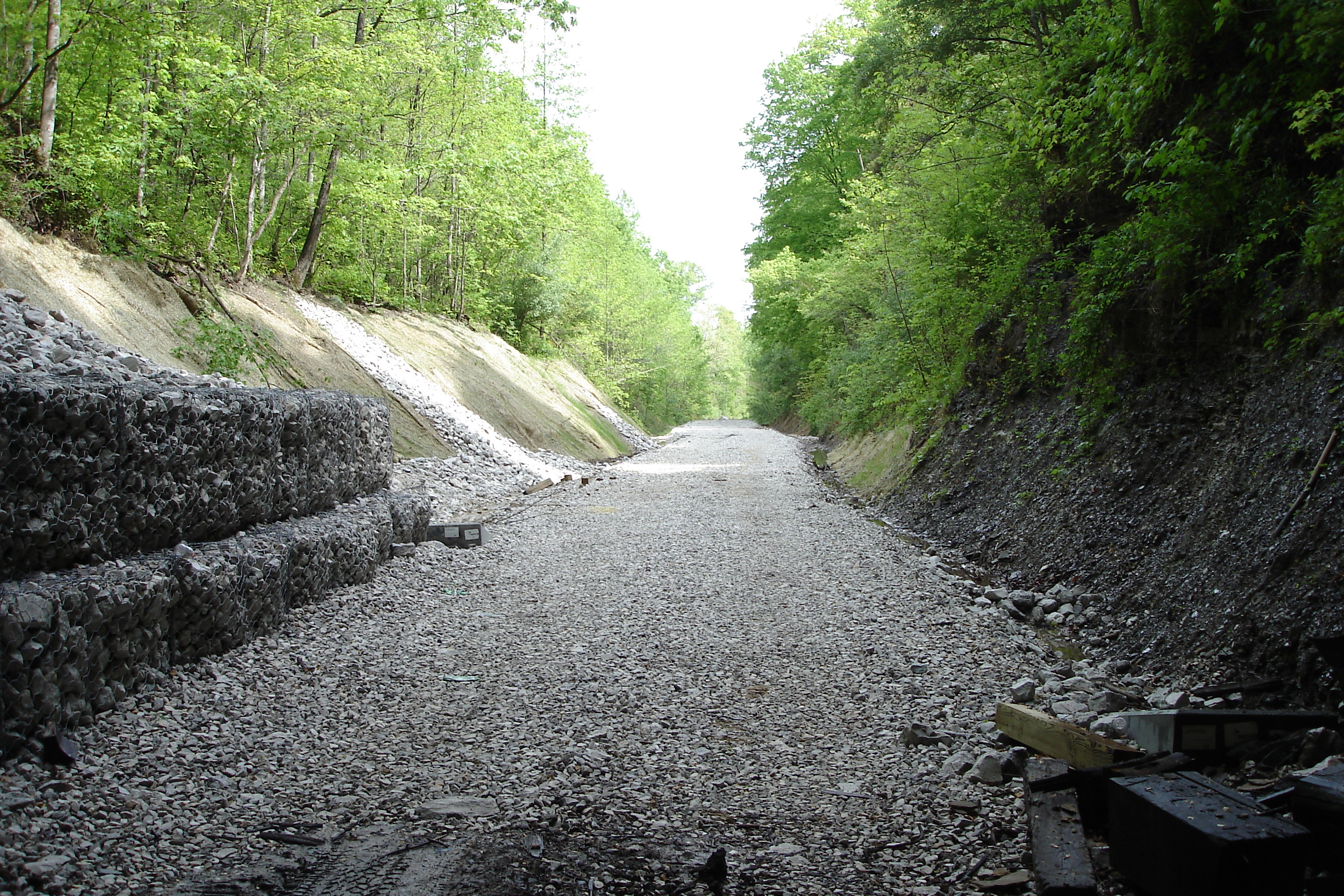
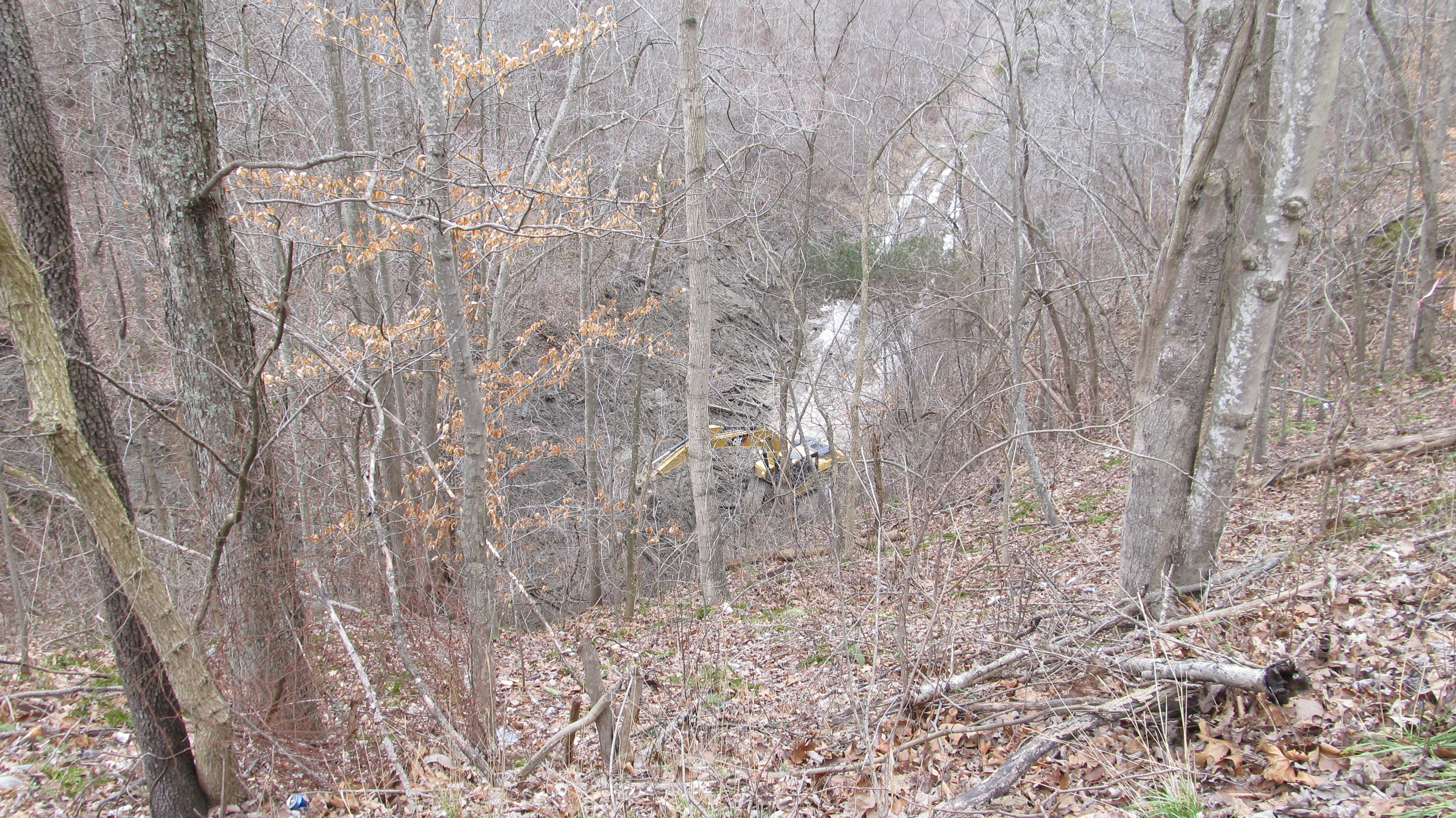
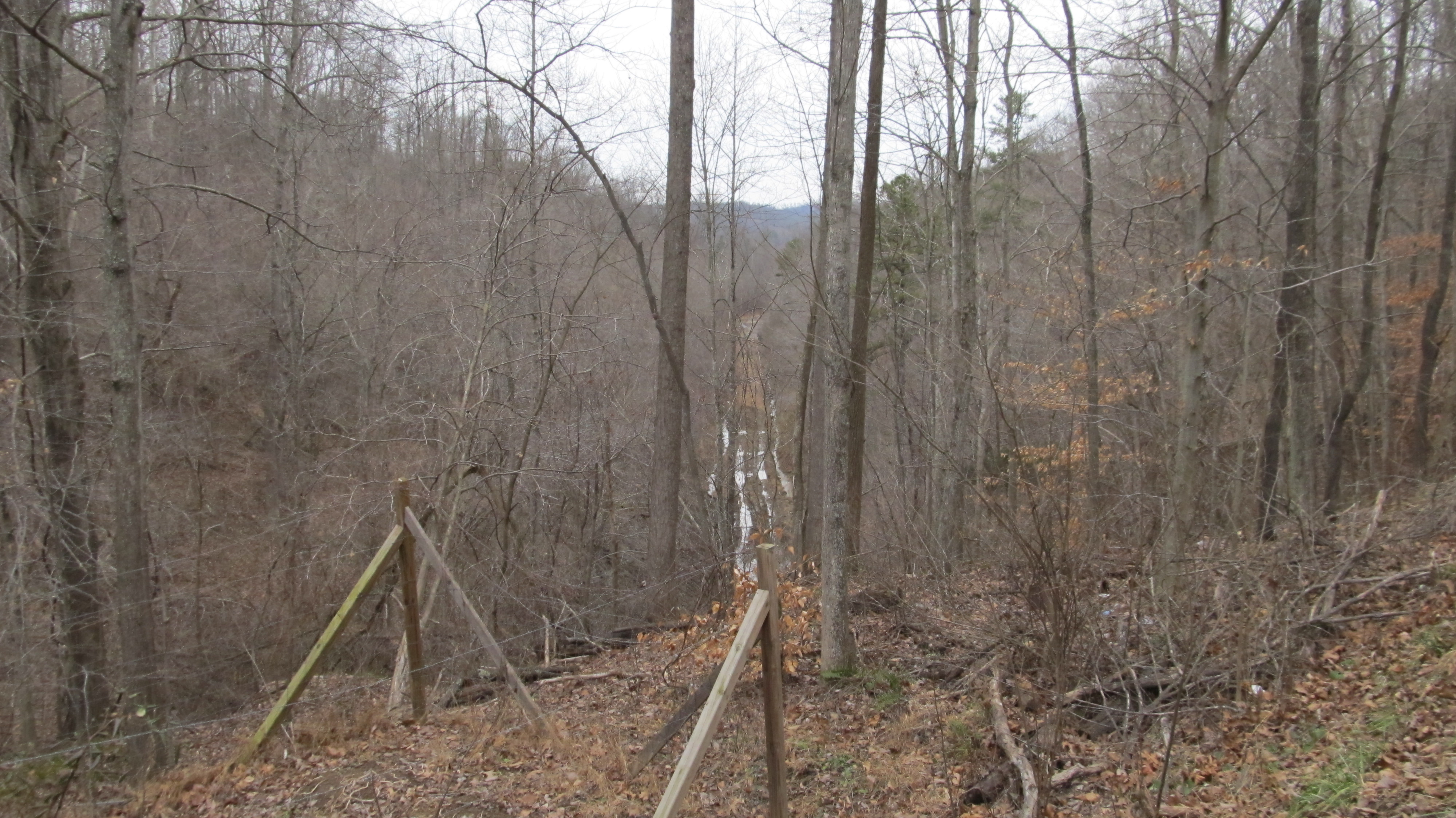
Dawkins Trail Line - MP 14.0 - Gun Creek Tunnel - DSC01161
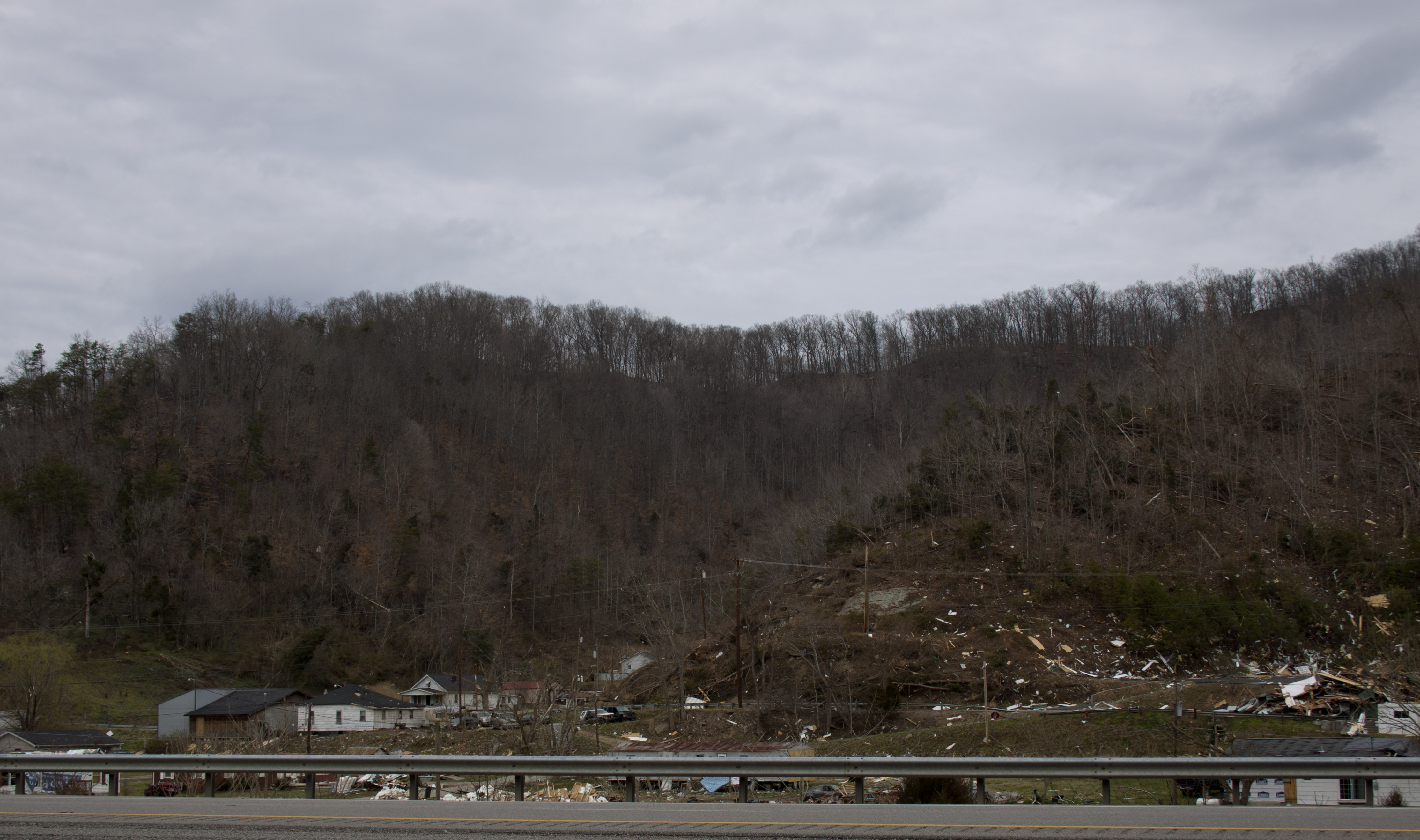
Salyersville KY Tornado-32
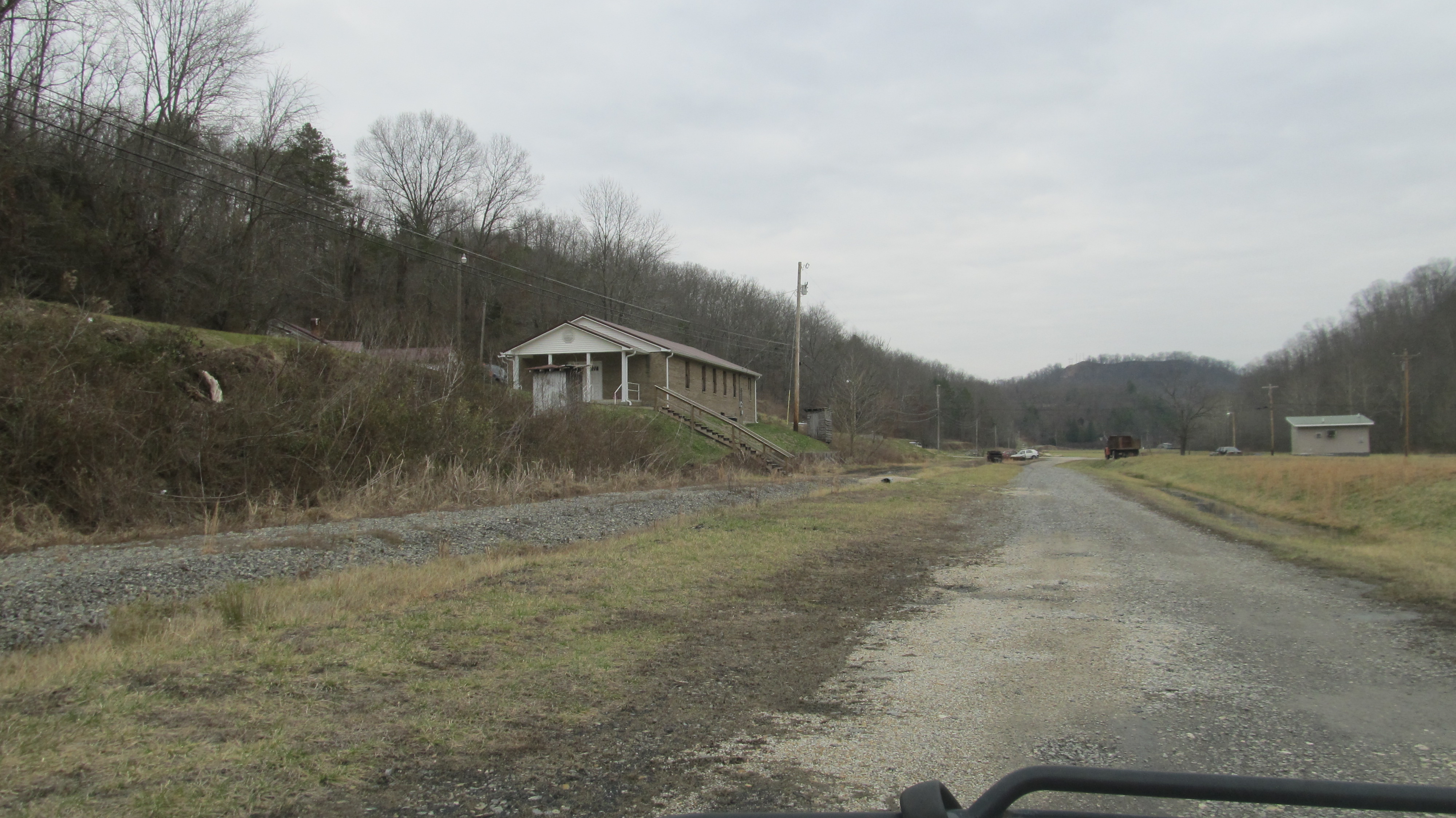
Dawkins Line - MP 17.6 (approx.) -Royalton KY - IMG_4719
Dawkins Line MP 15.0 - Gun Creek Tunnel - South Portal - IMG_4688

Shasta Daisies
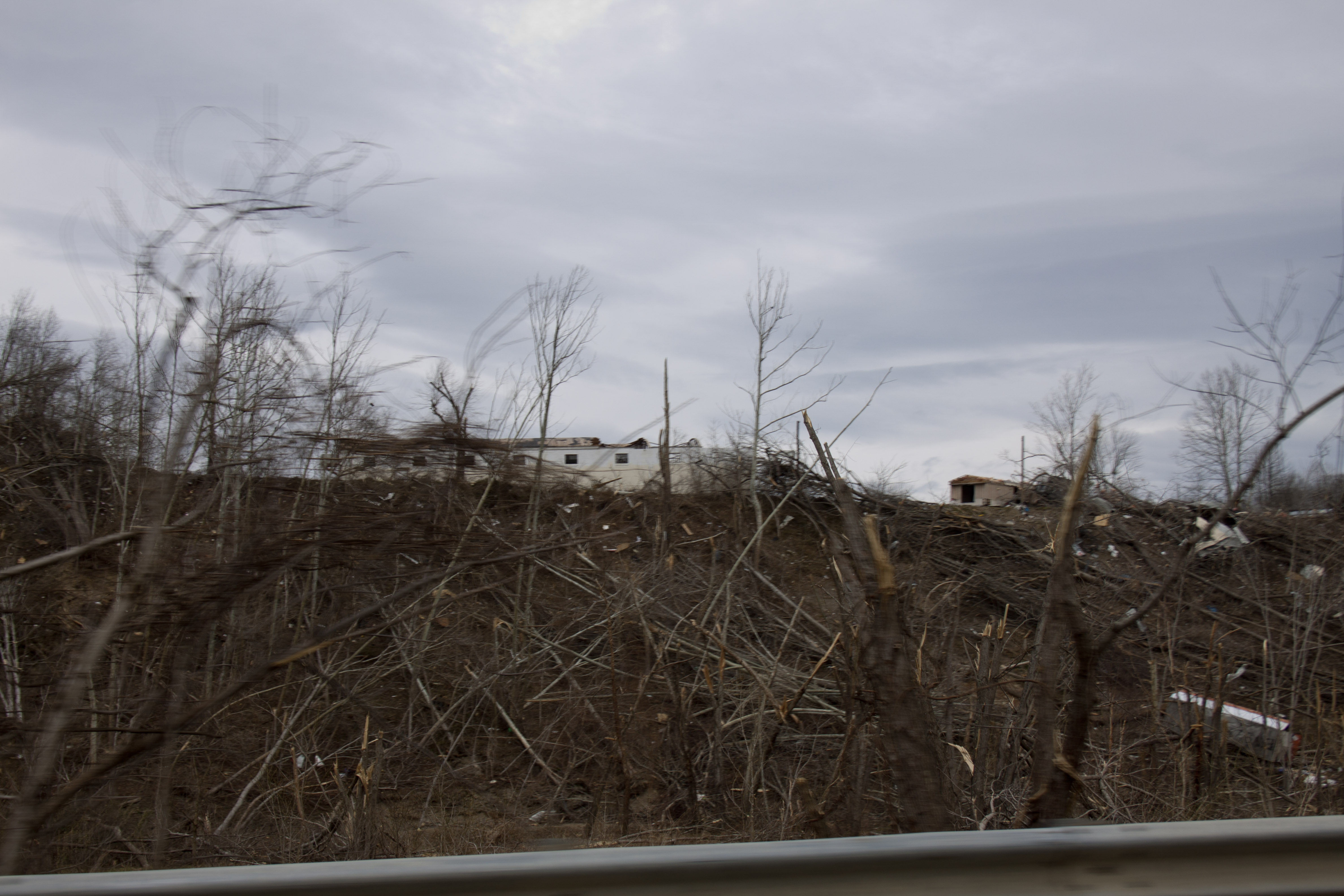
Salyersville KY Tornado-11
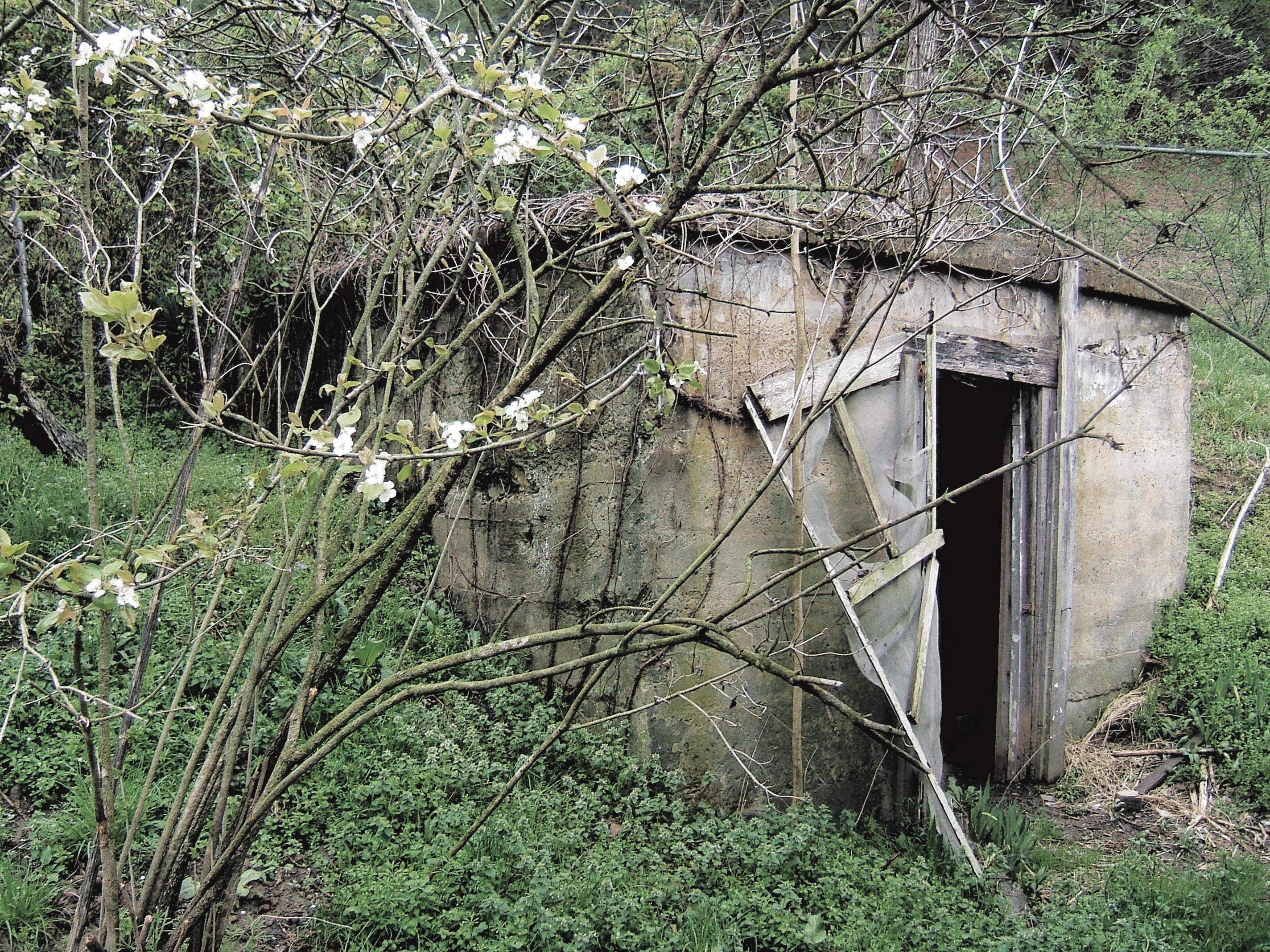
Canning Shed
Topographic Map of 80 Mountain Pkwy, Salyersville, KY, USA
Find elevation by address:

Places near 80 Mountain Pkwy, Salyersville, KY, USA:
Magoffin County
Salyersville
Tick Lick Road
Flat Fork
Roanne Creek Road
Lower Sand Lick Road
119 Cr-1573
1904 Lick Branch Rd
KY-, West Liberty, KY, USA
Elkfork
KY-30, Jackson, KY, USA
Spaws Creek Rd, West Liberty, KY, USA
46 Smiths Rd, West Liberty, KY, USA
Meat Scaffold Rd, Jackson, KY, USA
KY-, Elkfork, KY, USA
1446 Centerville Rd
425 Main St
West Liberty
W Main St, West Liberty, KY, USA
US-, West Liberty, KY, USA
Recent Searches:
- Elevation of Corso Fratelli Cairoli, 35, Macerata MC, Italy
- Elevation of Tallevast Rd, Sarasota, FL, USA
- Elevation of 4th St E, Sonoma, CA, USA
- Elevation of Black Hollow Rd, Pennsdale, PA, USA
- Elevation of Oakland Ave, Williamsport, PA, USA
- Elevation of Pedrógão Grande, Portugal
- Elevation of Klee Dr, Martinsburg, WV, USA
- Elevation of Via Roma, Pieranica CR, Italy
- Elevation of Tavkvetili Mountain, Georgia
- Elevation of Hartfords Bluff Cir, Mt Pleasant, SC, USA