Elevation of KY-, Elkfork, KY, USA
Location: United States > Kentucky > Morgan County > Elkfork >
Longitude: -83.198080
Latitude: 37.9645446
Elevation: 252m / 827feet
Barometric Pressure: 98KPa
Elevation Map:
Satellite Map:
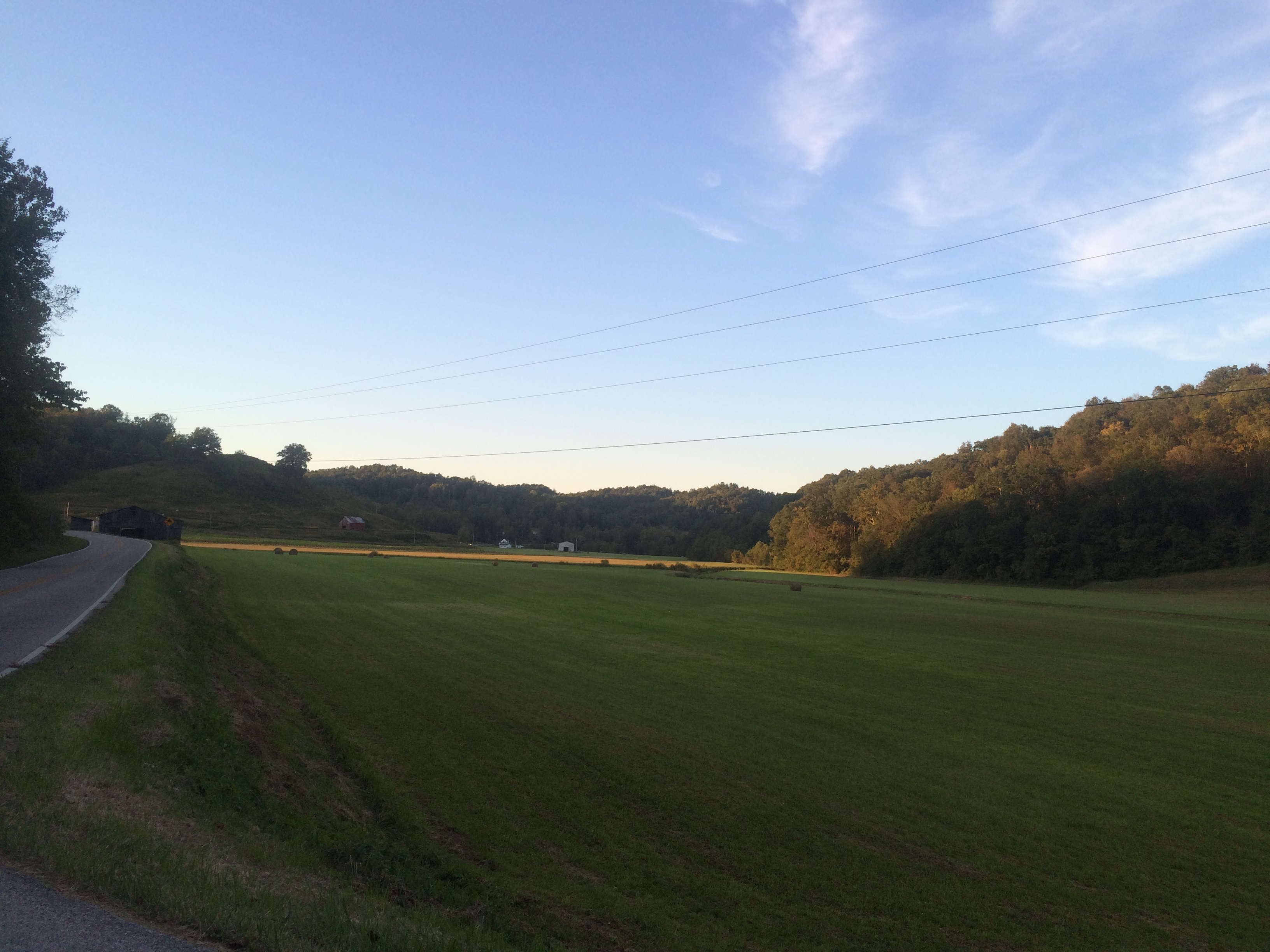
Related Photos:

A & Ω
A & Ω

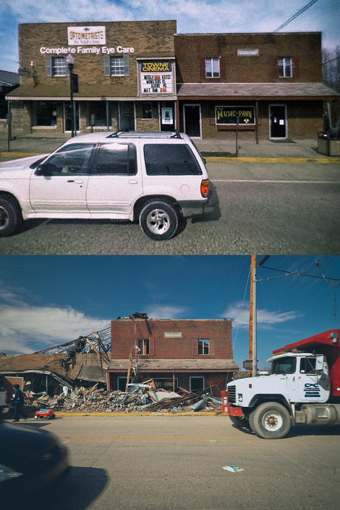
Morgan county courthouse, West Liberty, KY

DSC_0138

DSC_0137

DSC_0009

DSC_0094

DSC_0121

DSC_0102

DSC_0070

DSC_0120

DSC_0080

DSC_0098
Topographic Map of KY-, Elkfork, KY, USA
Find elevation by address:

Places near KY-, Elkfork, KY, USA:
Spaws Creek Rd, West Liberty, KY, USA
KY-, West Liberty, KY, USA
Elkfork
West Liberty
425 Main St
1904 Lick Branch Rd
Morgan County
W Main St, West Liberty, KY, USA
46 Smiths Rd, West Liberty, KY, USA
Liberty Rd, West Liberty, KY, USA
US-, West Liberty, KY, USA
1446 Centerville Rd
119 Cr-1573
Lower Sand Lick Road
Phils Branch Road
Mize
Flat Fork
Tick Lick Road
Salyersville
Magoffin County
Recent Searches:
- Elevation of Corso Fratelli Cairoli, 35, Macerata MC, Italy
- Elevation of Tallevast Rd, Sarasota, FL, USA
- Elevation of 4th St E, Sonoma, CA, USA
- Elevation of Black Hollow Rd, Pennsdale, PA, USA
- Elevation of Oakland Ave, Williamsport, PA, USA
- Elevation of Pedrógão Grande, Portugal
- Elevation of Klee Dr, Martinsburg, WV, USA
- Elevation of Via Roma, Pieranica CR, Italy
- Elevation of Tavkvetili Mountain, Georgia
- Elevation of Hartfords Bluff Cir, Mt Pleasant, SC, USA