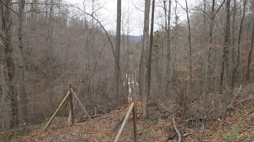
Elevation of Magoffin County, KY, USA

Location: United States > Kentucky >

Longitude: -83.036137

Latitude: 37.730555

Elevation: 338m / 1109feet

Barometric Pressure: 97KPa

Elevation Map:

elevation map of Magoffin County, KY, USA

Satellite Map:

Satellite map of Magoffin County, KY, USA

Related Photos:

county railroad horses bicycle hiking kentucky ky trails tunnel biking horseback railstotrails dawkins csx magoffin chesapeakeohio rtr guncreek rjcorman
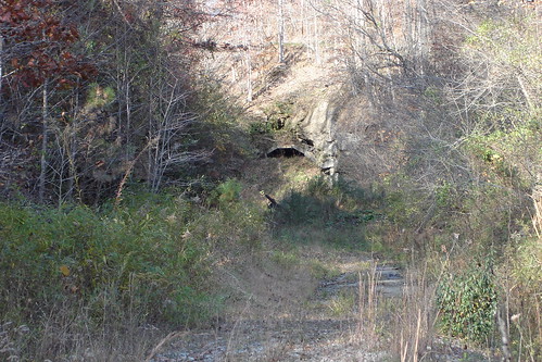
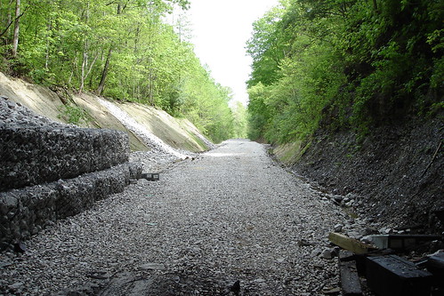
Dawkins Line MP 15.0 - Gun Creek Tunnel - South Portal - DSC00953
bicycling hiking kentucky ky tunnel trail recreation horseback railstotrails dawkins magoffincounty departmentofparks
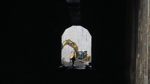
Dawkins Line MP 14.9 - Gun Creek Tunnel - North Portal - IMG_4685
county railroad trestle horses bicycle hiking kentucky ky trails biking horseback railstotrails dawkins csx magoffin chesapeakeohio rtr guncreek rjcorman
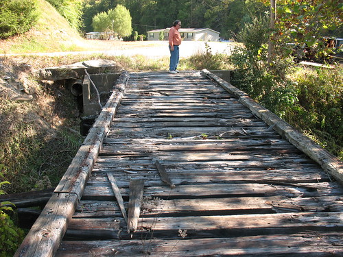
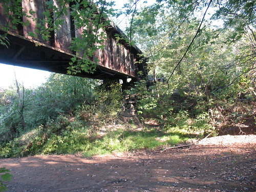
Dawkins Line MP 16.7 - Trestle Over Gun Creek - IMG_3953
county railroad trestle horses bicycle hiking kentucky ky trails biking horseback railstotrails dawkins csx magoffin chesapeakeohio rtr guncreek rjcorman
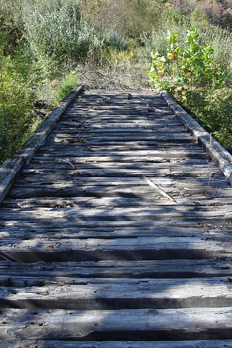
Dawkins Line MP 16.7 - Trestle Over Gun Creek - DSC00615
bicycling hiking kentucky ky tunnel trail recreation horseback railstotrails dawkins magoffincounty departmentofparks
Dawkins Line MP 15.0 - Gun Creek Tunnel - South Portal - IMG_4687
bicycling hiking kentucky ky tunnel trail recreation horseback railstotrails dawkins magoffincounty departmentofparks
Dawkins Line MP 15.0 - Gun Creek Tunnel - South Portal - IMG_4690
county railroad trestle horses bicycle hiking kentucky ky trails biking horseback railstotrails dawkins csx magoffin chesapeakeohio americanbridge rtr lickingriver rjcorman
Dawkins Line MP 19.7 - Licking River Bridge - South Side - IMG_3909
county railroad horse bicycle walking construction hiking kentucky ky johnson parks rail tunnel trail biking co horseback railstotrails dawkins magoffin chesapeakeohio guncreek contractadministration divisionofengineering
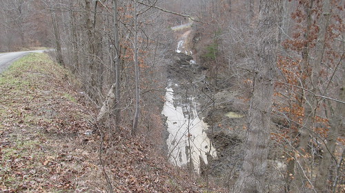
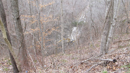
Dawkins Trail Line - MP 14.0 - Gun Creek Tunnel - DSC01161
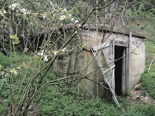
travel trees mountains flower color building tree rural forest landscape grey woods outdoor kentucky appalachia e550 grabshot
Canning Shed
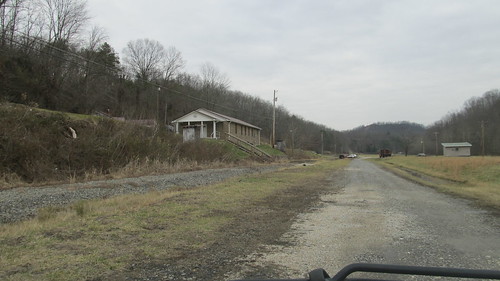
bicycling hiking kentucky ky trail recreation horseback railstotrails dawkins magoffincounty departmentofparks
Dawkins Line - MP 17.6 (approx.) -Royalton KY - IMG_4719
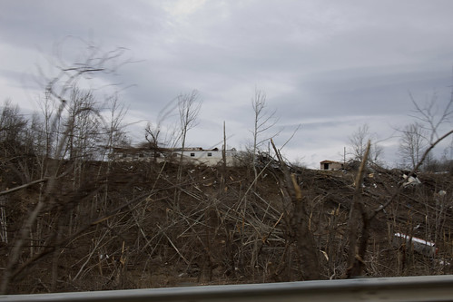
debris cleanup tornado salyersville businessesclosed
Salyersville KY Tornado-11
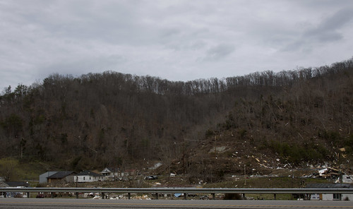
debris cleanup tornado salyersville businessesclosed
Salyersville KY Tornado-32
bicycling hiking kentucky ky tunnel trail recreation horseback railstotrails dawkins magoffincounty departmentofparks
Dawkins Line MP 15.0 - Gun Creek Tunnel - South Portal - IMG_4688