Elevation of Knott County, KY, USA
Location: United States > Kentucky >
Longitude: -82.993160
Latitude: 37.3461117
Elevation: 376m / 1234feet
Barometric Pressure: 97KPa
Elevation Map:
Satellite Map:
Related Photos:

Bridge 690-01
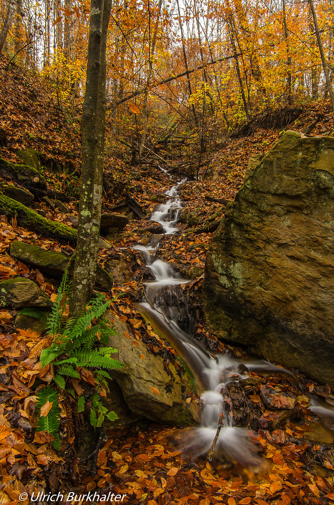
Upper Booger Hollow.
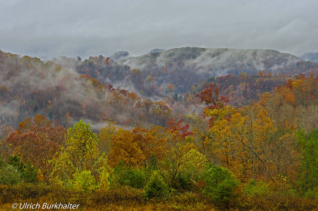
Rainy day....

Hindman, Kentucky United Methodist Women Opening Umbrellas to intercept human traffickers.
Topographic Map of Knott County, KY, USA
Find elevation by address:

Places in Knott County, KY, USA:
Mallie
Redfox
Hindman
Pine Top
Pippa Passes
Emmalena
Mousie
Kite
Leburn
Topmost
KY-, Mousie, KY, USA
KY-, Kite, KY, USA
Carrie
Places near Knott County, KY, USA:
Hindman
Carrie Post Office
Carrie
Carrie Loop, Emmalena, KY, USA
Emmalena
Lotts Creek Rd, Hazard, KY, USA
Vicco
25 Main St, Vicco, KY, USA
Civil War Gap, Blackey, KY, USA
Happy
Happy Cir, Happy, KY, USA
Caleb Trail
Kentucky 476
Kentucky 476
69 Main St Loop, Blackey, KY, USA
Blackey
Booth Ridge Rd, Hazard, KY, USA
Locust St, Hazard, KY, USA
Riverview Dr, Hazard, KY, USA
Perry County
Recent Searches:
- Elevation of Corso Fratelli Cairoli, 35, Macerata MC, Italy
- Elevation of Tallevast Rd, Sarasota, FL, USA
- Elevation of 4th St E, Sonoma, CA, USA
- Elevation of Black Hollow Rd, Pennsdale, PA, USA
- Elevation of Oakland Ave, Williamsport, PA, USA
- Elevation of Pedrógão Grande, Portugal
- Elevation of Klee Dr, Martinsburg, WV, USA
- Elevation of Via Roma, Pieranica CR, Italy
- Elevation of Tavkvetili Mountain, Georgia
- Elevation of Hartfords Bluff Cir, Mt Pleasant, SC, USA