Elevation of Perry County, KY, USA
Location: United States > Kentucky >
Longitude: -83.207764
Latitude: 37.3160706
Elevation: 396m / 1299feet
Barometric Pressure: 97KPa
Elevation Map:
Satellite Map:
Related Photos:
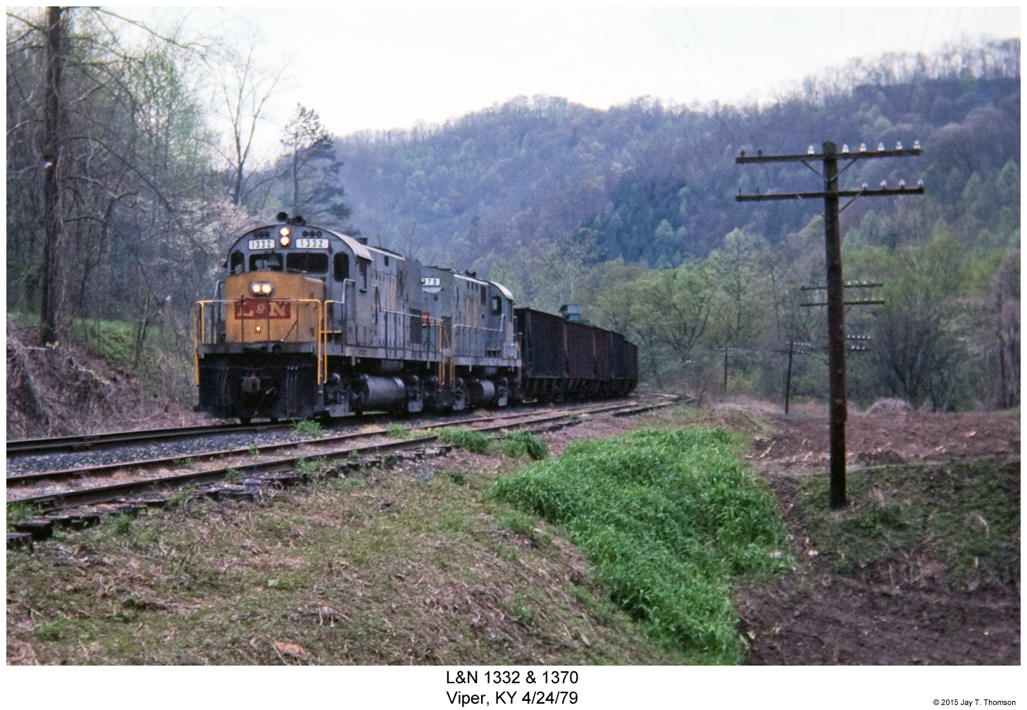
L&N 1332 & 1370
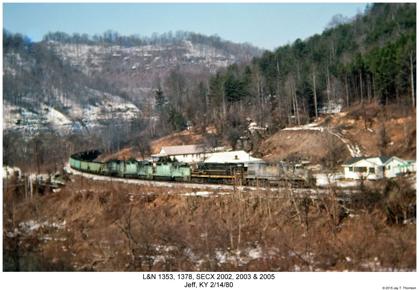
L&N 1353, 1378, SECX 2002, 2003 & 2005
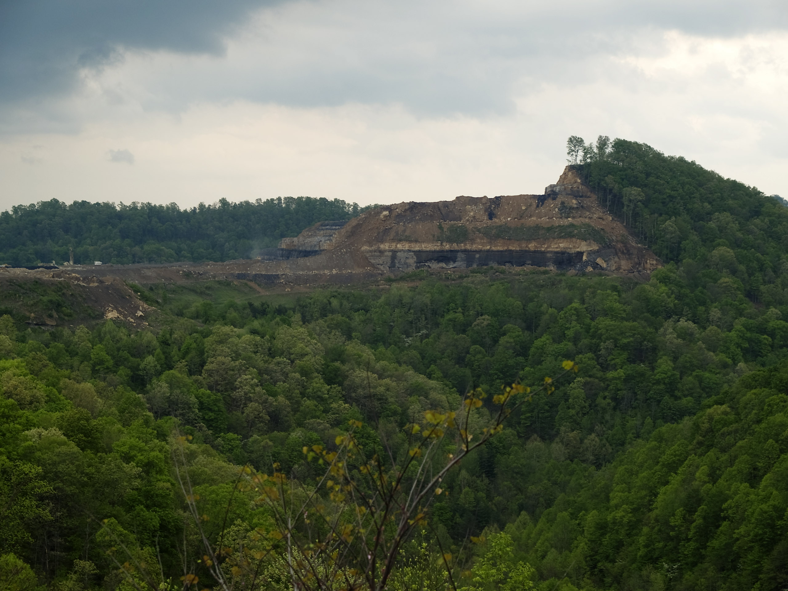
How Mountains Die in Kentucky

Bridge 670-01

BLUEGRASS TRIP 08.06.2005 030

Bridge 686-05

Bridge 690-01

Bridge 671-03

Bridge 686-04

Bridge 688-09

Bridge 688-08
Upper Booger Hollow.

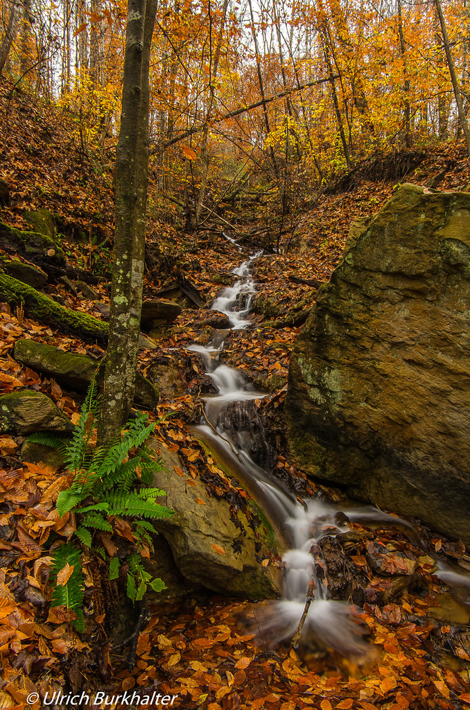
Rainy day....
Topographic Map of Perry County, KY, USA
Find elevation by address:

Places in Perry County, KY, USA:
Places near Perry County, KY, USA:
KY-, Hazard, KY, USA
Kentucky 476
Kentucky 476
Little Grapevine Creek Road
Riverview Dr, Hazard, KY, USA
Hazard
Rainbow Drive
Locust St, Hazard, KY, USA
Clear Fork Branch, Hazard, KY, USA
Busy
Willard Elementary School
Booth Ridge Rd, Hazard, KY, USA
KY-15, Lost Creek, KY, USA
Bethel Church Rd, Clayhole, KY, USA
81 Krypton-Napfor Rd, Krypton, KY, USA
Krypton
Emmalena
KY-15, Lost Creek, KY, USA
Viper
3265 Wooton Rd
Recent Searches:
- Elevation of Corso Fratelli Cairoli, 35, Macerata MC, Italy
- Elevation of Tallevast Rd, Sarasota, FL, USA
- Elevation of 4th St E, Sonoma, CA, USA
- Elevation of Black Hollow Rd, Pennsdale, PA, USA
- Elevation of Oakland Ave, Williamsport, PA, USA
- Elevation of Pedrógão Grande, Portugal
- Elevation of Klee Dr, Martinsburg, WV, USA
- Elevation of Via Roma, Pieranica CR, Italy
- Elevation of Tavkvetili Mountain, Georgia
- Elevation of Hartfords Bluff Cir, Mt Pleasant, SC, USA