Elevation of KY-15, Lost Creek, KY, USA
Location: United States > Kentucky > Breathitt County > Lost Creek >
Longitude: -83.271490
Latitude: 37.4121854
Elevation: 252m / 827feet
Barometric Pressure: 98KPa
Elevation Map:
Satellite Map:
Related Photos:
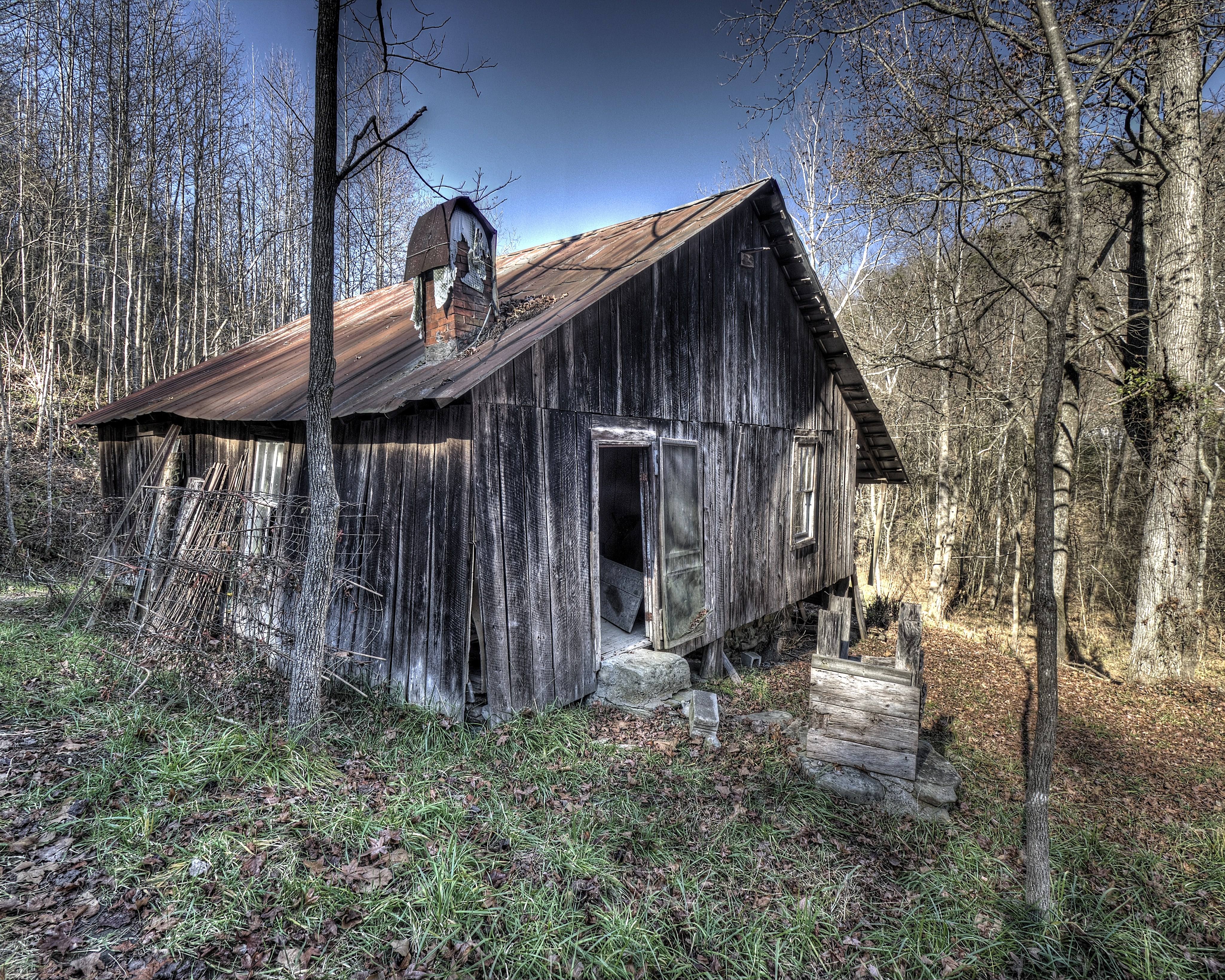
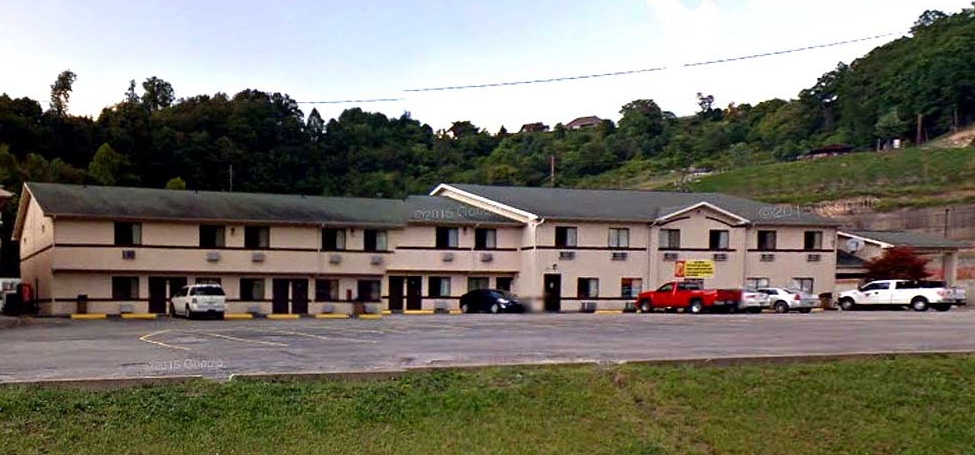
Abandoned house back view
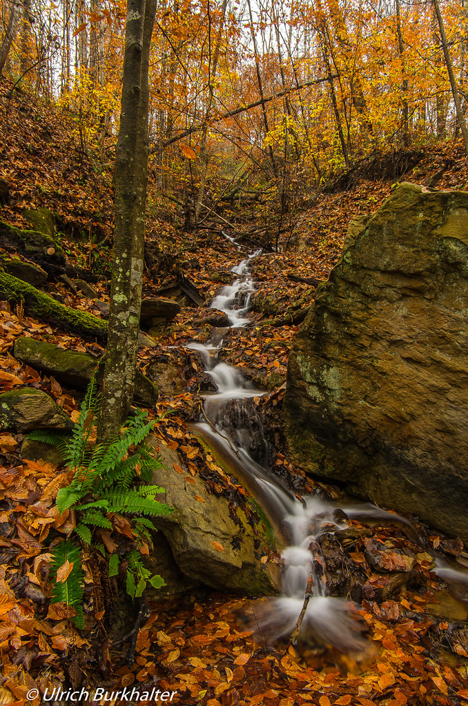
Upper Booger Hollow.

Rainy day....
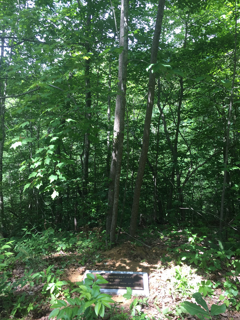
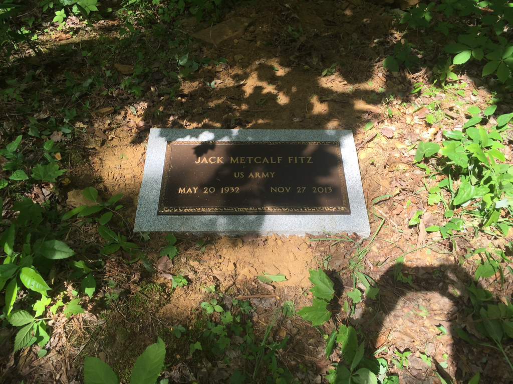
Dad's marker above Ajax
Abandoned house Turners Creek

slide6 (1)
slide1 _edit

Why is anyone allowed to own multiple pistols showing up in plaid and a #Dogpatch Hat? @drewshd_net @Jimdrews2

Charlotte had a crush on the ATV guy

IMG_0188.jpg
IMG_0186.jpg

IMG_0185.jpg
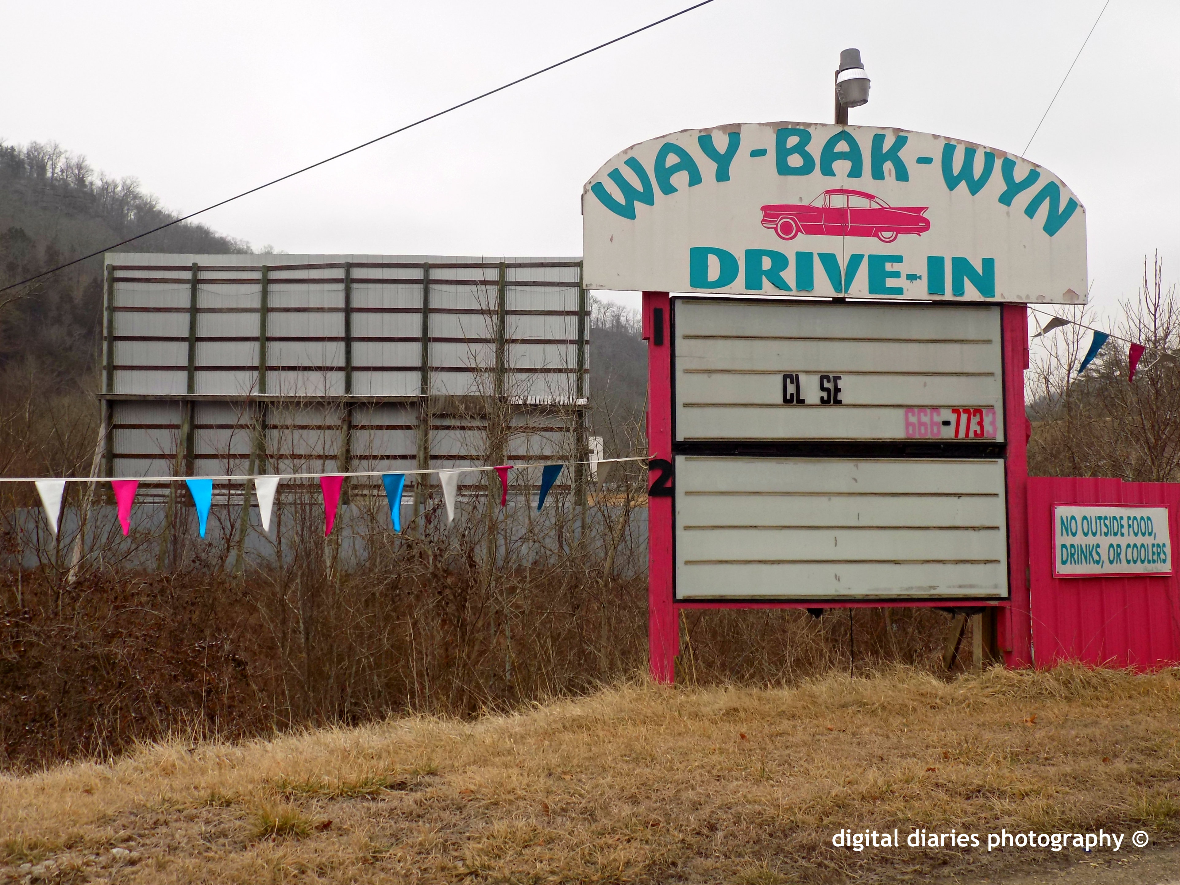
Way Bak Wyn Drive in
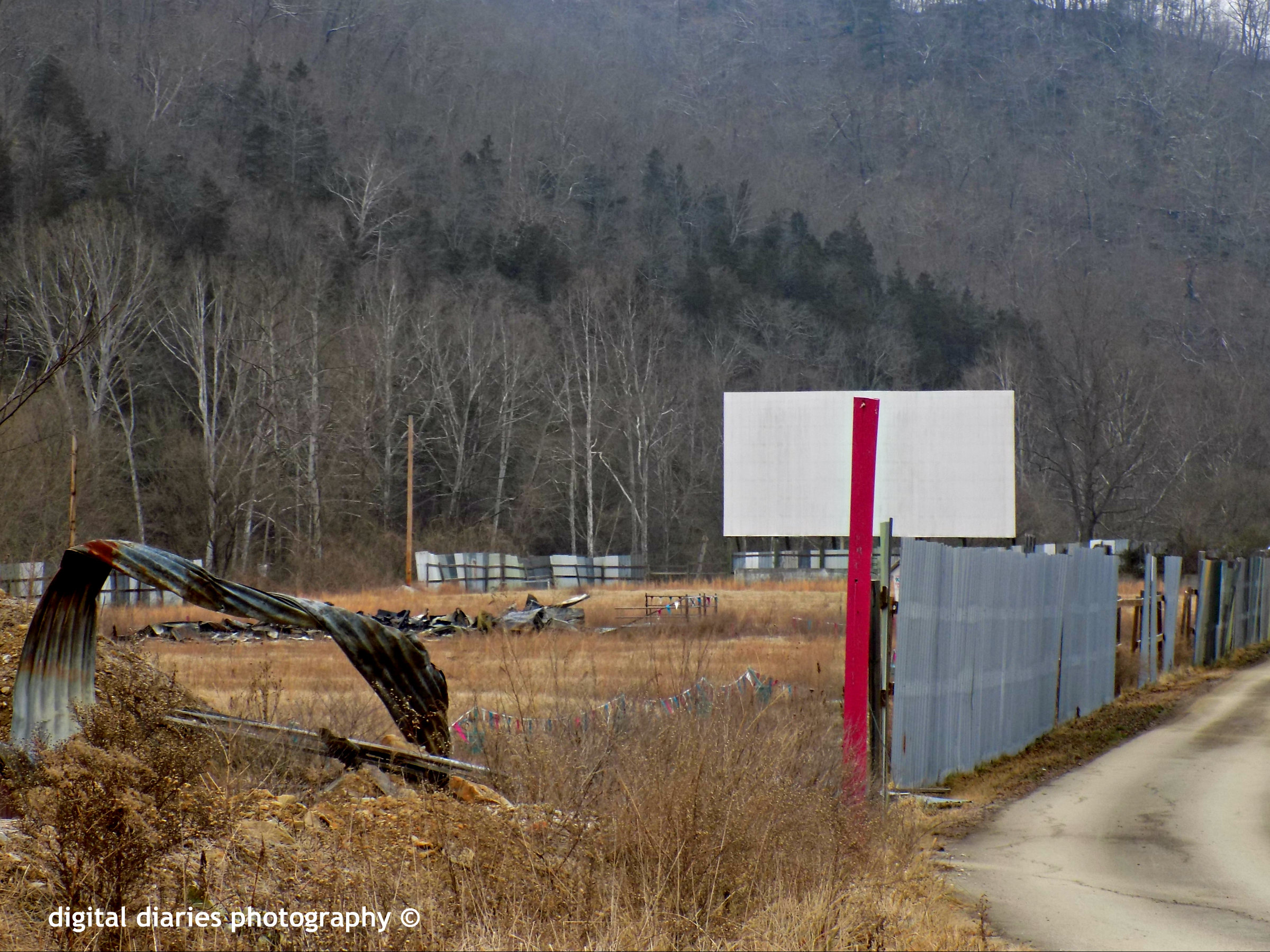
Way Bak Wyn Drive In
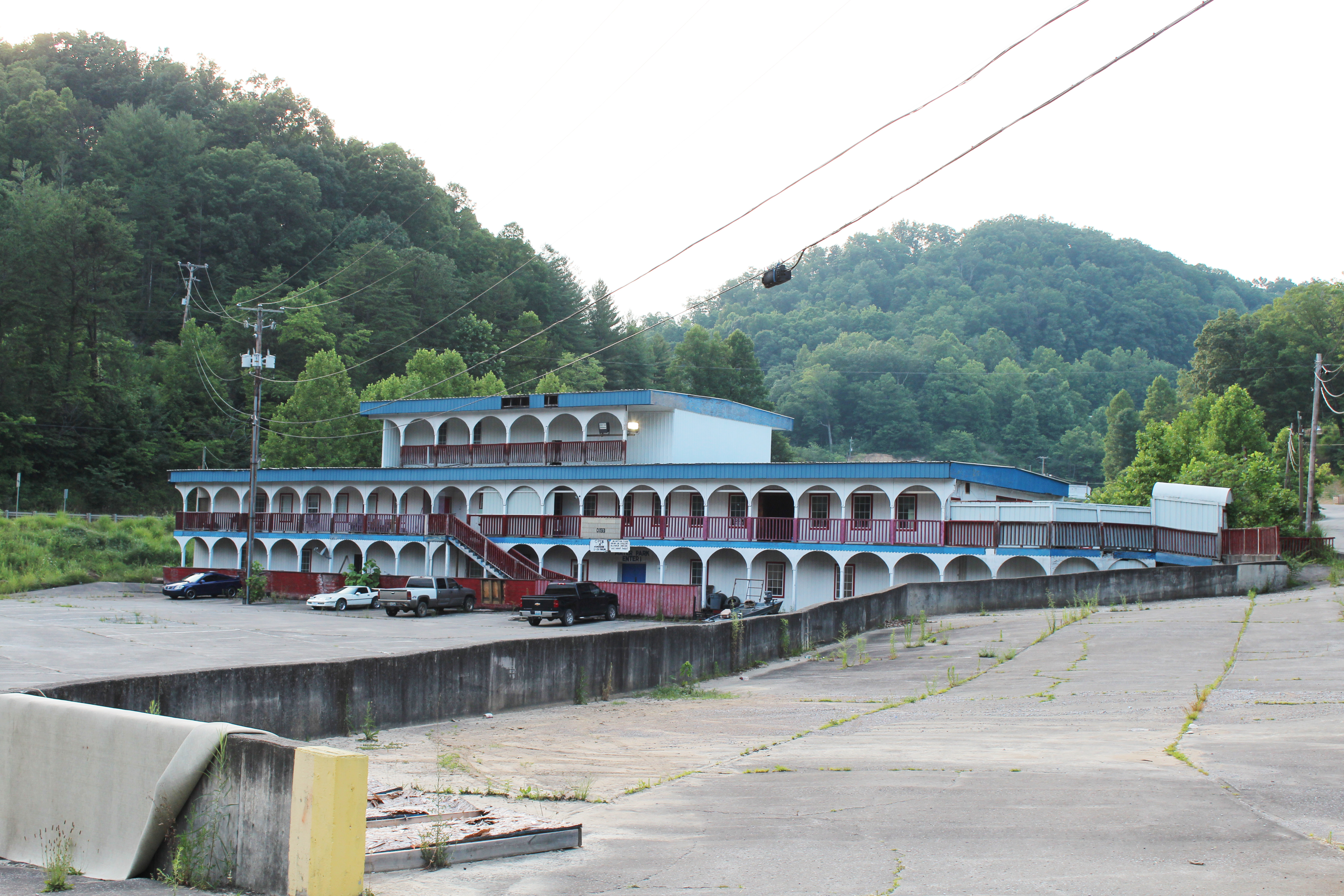
Fugate's complex

Fugate's cinema
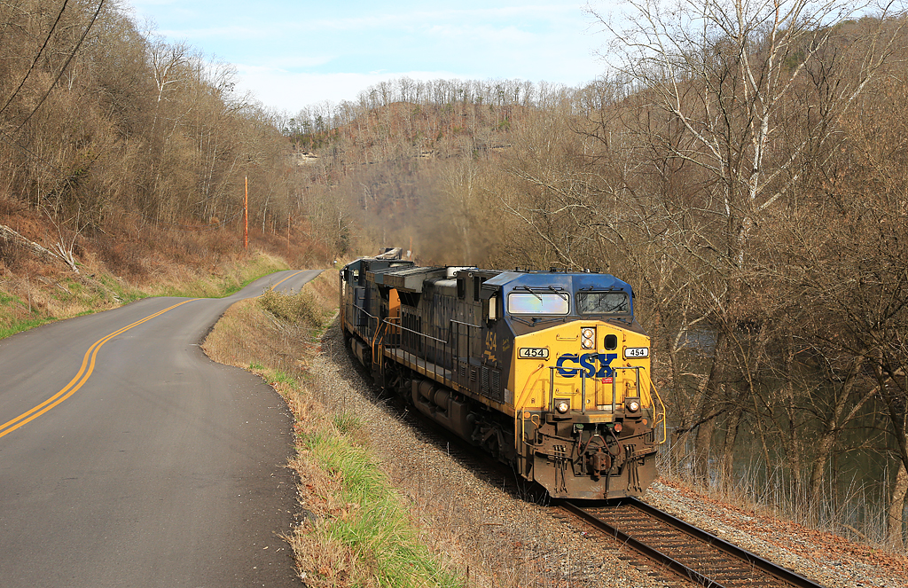
CSX EK Sub-Copland

Building stuff at ASP!
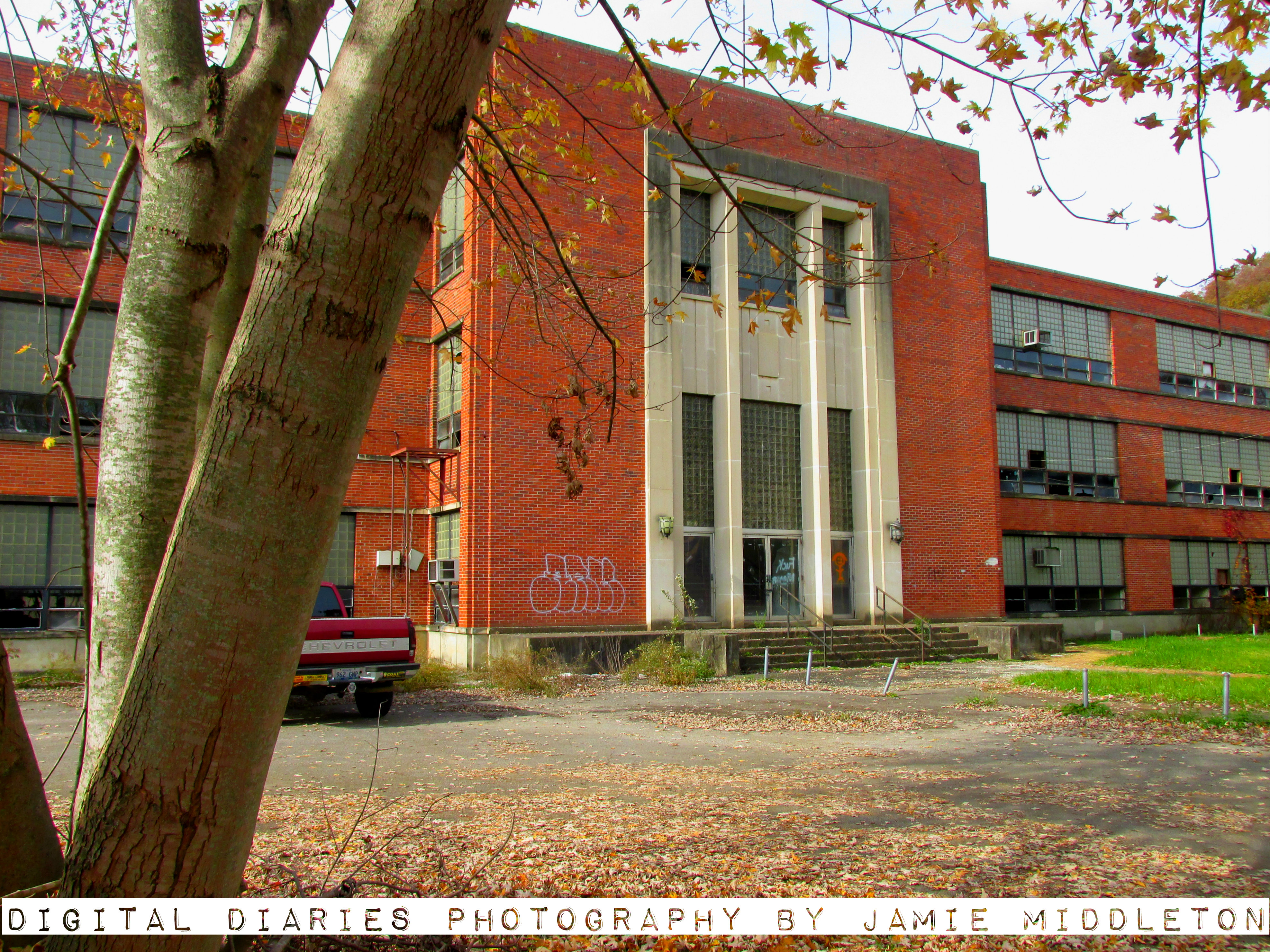
Old MC Napier High School
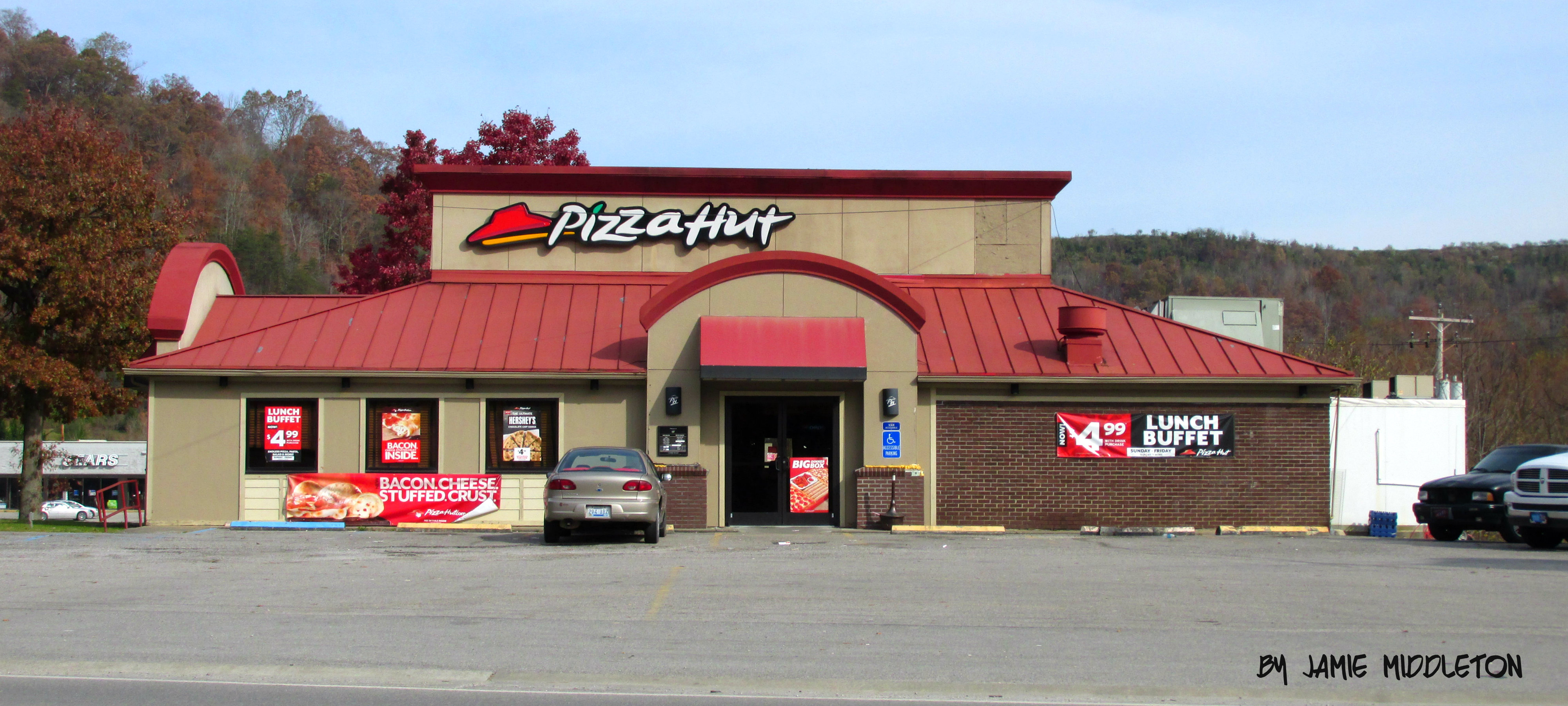
Pizza Hut -- Hazard, Kentucky
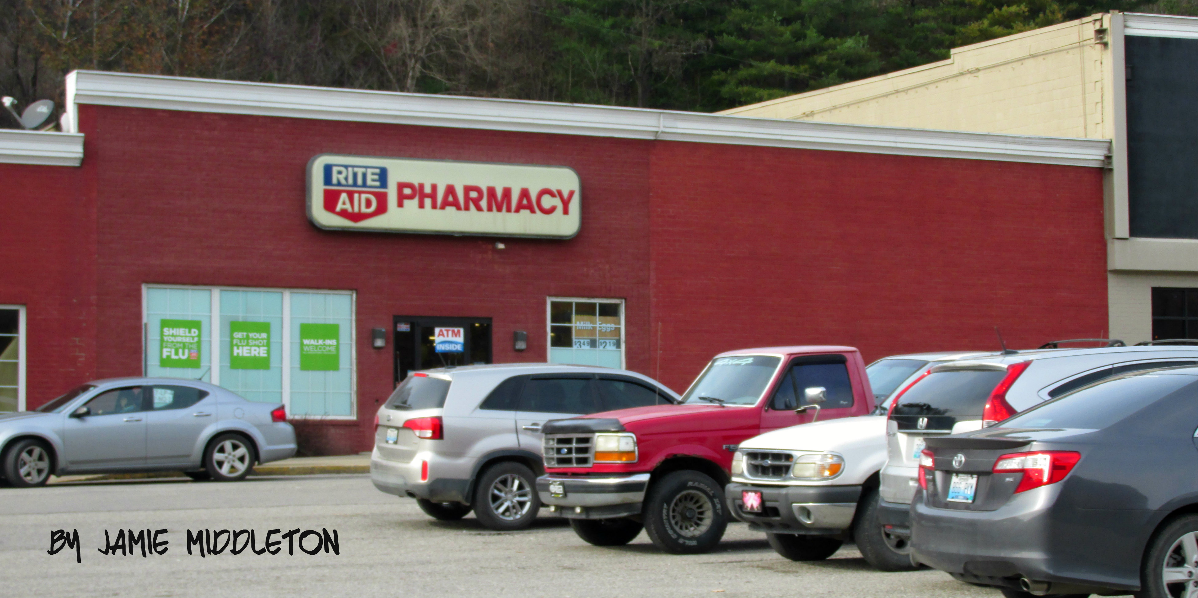
Rite Aid -- Hazard, Kentucky
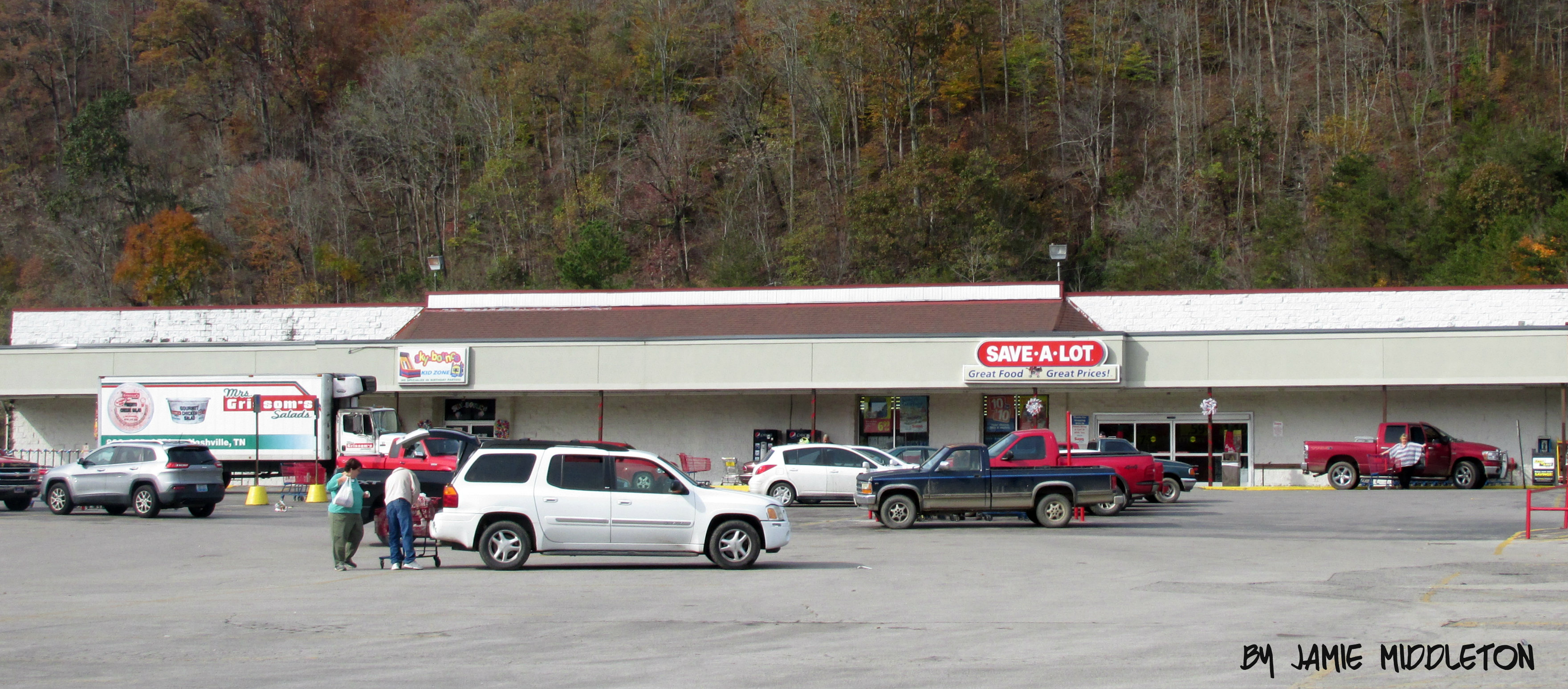
Save A Lot -- Hazard, Kentucky
Panera Bread -- Hazard, Kentucky
Topographic Map of KY-15, Lost Creek, KY, USA
Find elevation by address:

Places near KY-15, Lost Creek, KY, USA:
KY-15, Lost Creek, KY, USA
Clayhole
Clear Fork Branch, Hazard, KY, USA
Bethel Church Rd, Clayhole, KY, USA
Lost Creek
Little Grapevine Creek Road
Perry County
Krypton
81 Krypton-Napfor Rd, Krypton, KY, USA
Busy
Breathitt County
KY-, Hazard, KY, USA
Rainbow Drive
Willard Elementary School
Kentucky 476
Kentucky 476
Riverview Dr, Hazard, KY, USA
Meat Scaffold Rd, Jackson, KY, USA
162 Town Hill Rd
KY-30, Jackson, KY, USA
Recent Searches:
- Elevation of Corso Fratelli Cairoli, 35, Macerata MC, Italy
- Elevation of Tallevast Rd, Sarasota, FL, USA
- Elevation of 4th St E, Sonoma, CA, USA
- Elevation of Black Hollow Rd, Pennsdale, PA, USA
- Elevation of Oakland Ave, Williamsport, PA, USA
- Elevation of Pedrógão Grande, Portugal
- Elevation of Klee Dr, Martinsburg, WV, USA
- Elevation of Via Roma, Pieranica CR, Italy
- Elevation of Tavkvetili Mountain, Georgia
- Elevation of Hartfords Bluff Cir, Mt Pleasant, SC, USA