Elevation of 25 Main St, Vicco, KY, USA
Location: United States > Kentucky > Perry County > Vicco >
Longitude: -83.065274
Latitude: 37.2144843
Elevation: 287m / 942feet
Barometric Pressure: 98KPa
Elevation Map:
Satellite Map:
Related Photos:
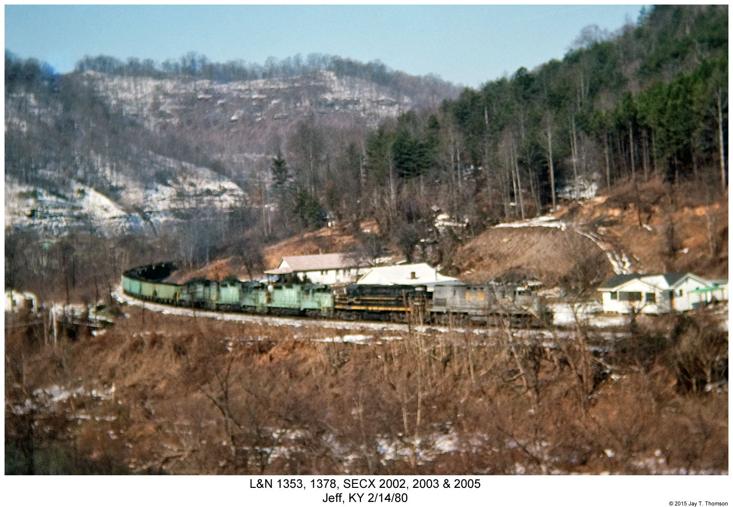
L&N 1353, 1378, SECX 2002, 2003 & 2005
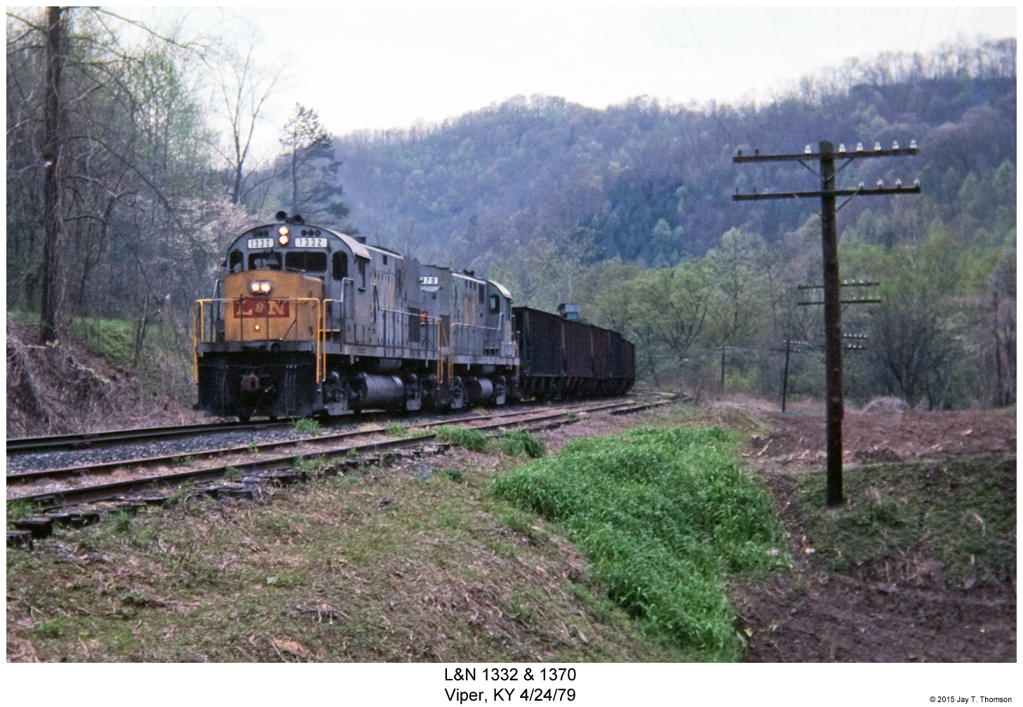
L&N 1332 & 1370
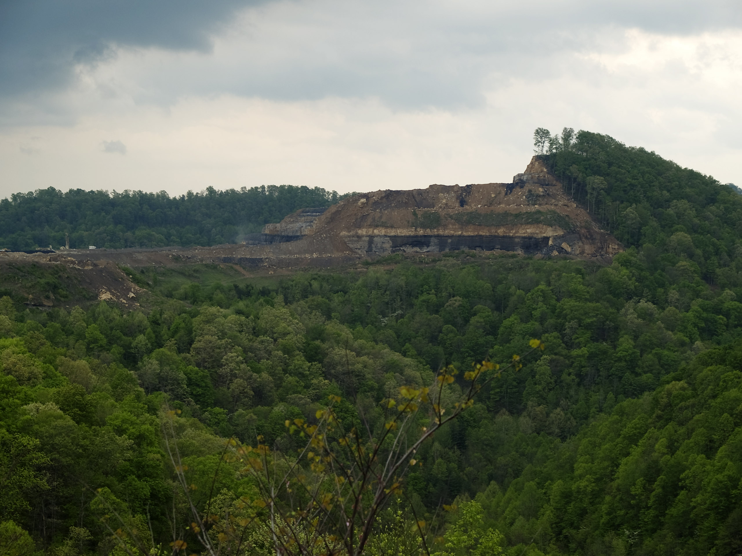
How Mountains Die in Kentucky

BLUEGRASS TRIP 08.06.2005 030

Hindman, Kentucky United Methodist Women Opening Umbrellas to intercept human traffickers.

Hazard, Kentucky

Hazard, Kentucky
Topographic Map of 25 Main St, Vicco, KY, USA
Find elevation by address:

Places near 25 Main St, Vicco, KY, USA:
Vicco
Lotts Creek Rd, Hazard, KY, USA
Happy
Happy Cir, Happy, KY, USA
Caleb Trail
Cornettsville
Civil War Gap, Blackey, KY, USA
Viper
Booth Ridge Rd, Hazard, KY, USA
Blackey
69 Main St Loop, Blackey, KY, USA
Locust St, Hazard, KY, USA
Carrie Loop, Emmalena, KY, USA
Lakeside Dr, Viper, KY, USA
Emmalena
Carrie Post Office
Carrie
State Hwy, Cornettsville, KY, USA
Hazard
Riverview Dr, Hazard, KY, USA
Recent Searches:
- Elevation of Corso Fratelli Cairoli, 35, Macerata MC, Italy
- Elevation of Tallevast Rd, Sarasota, FL, USA
- Elevation of 4th St E, Sonoma, CA, USA
- Elevation of Black Hollow Rd, Pennsdale, PA, USA
- Elevation of Oakland Ave, Williamsport, PA, USA
- Elevation of Pedrógão Grande, Portugal
- Elevation of Klee Dr, Martinsburg, WV, USA
- Elevation of Via Roma, Pieranica CR, Italy
- Elevation of Tavkvetili Mountain, Georgia
- Elevation of Hartfords Bluff Cir, Mt Pleasant, SC, USA