Elevation of Preston, ID, USA
Location: United States > Idaho > Franklin County >
Longitude: -111.87661
Latitude: 42.0963133
Elevation: 1437m / 4715feet
Barometric Pressure: 85KPa
Elevation Map:
Satellite Map:
Related Photos:
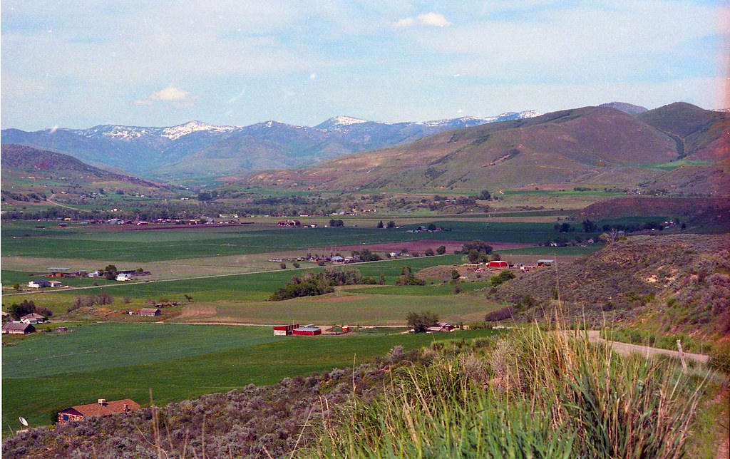
The House on the Corner No.2
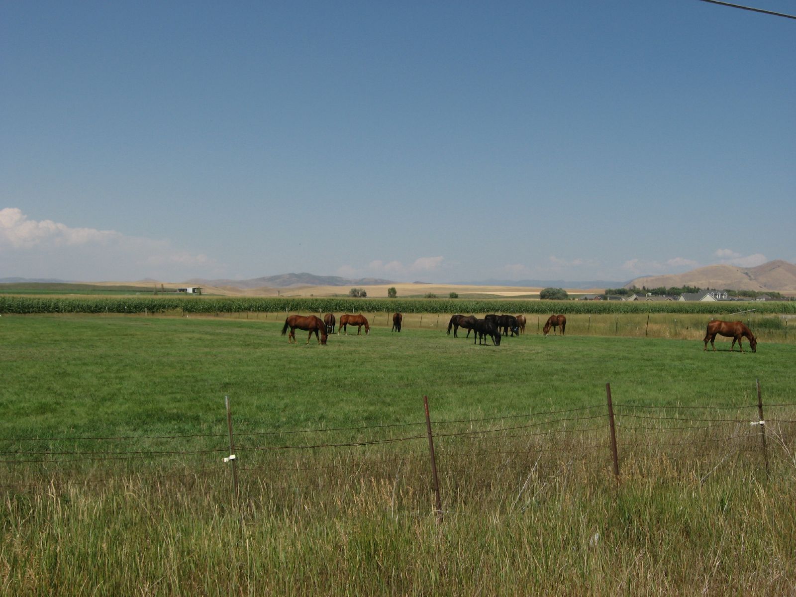
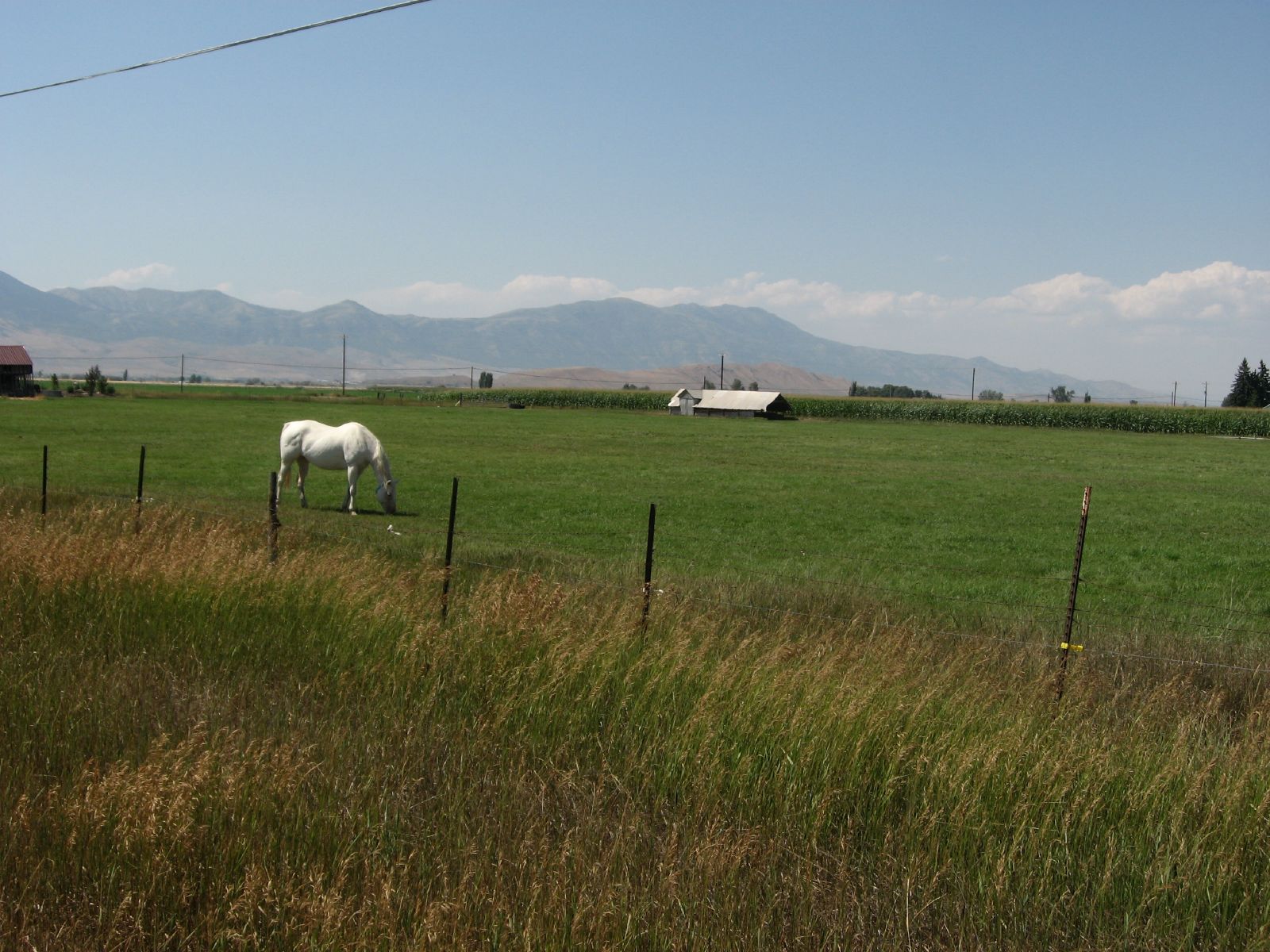
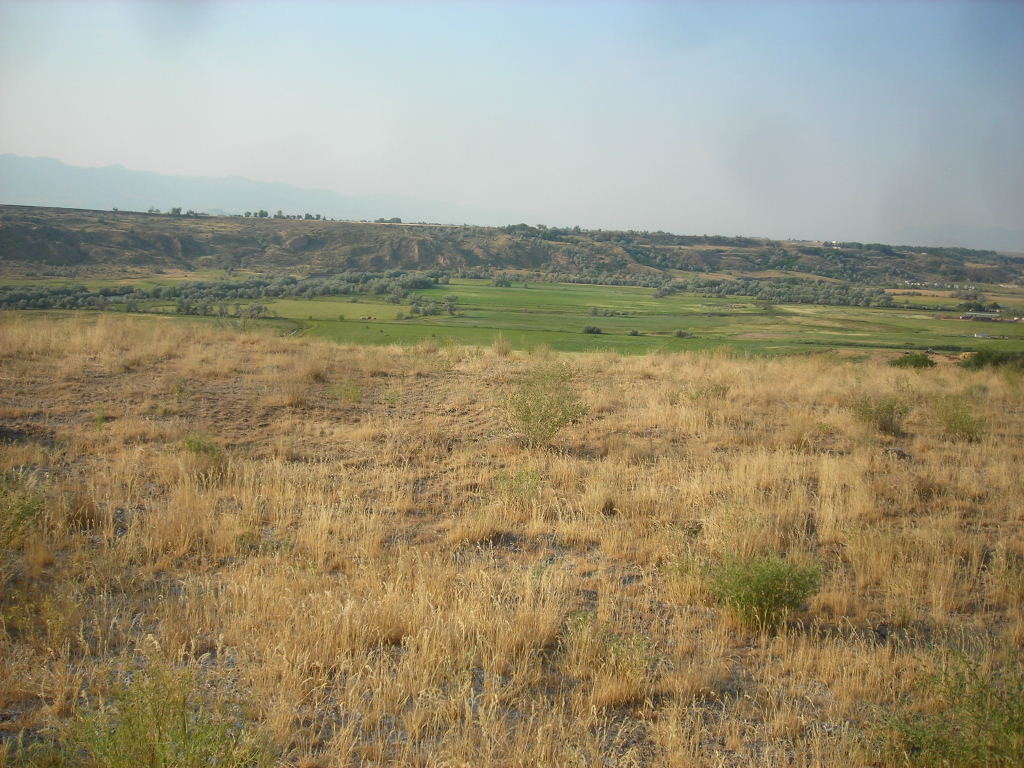
Pasture Near Preston, Idaho
071507 460
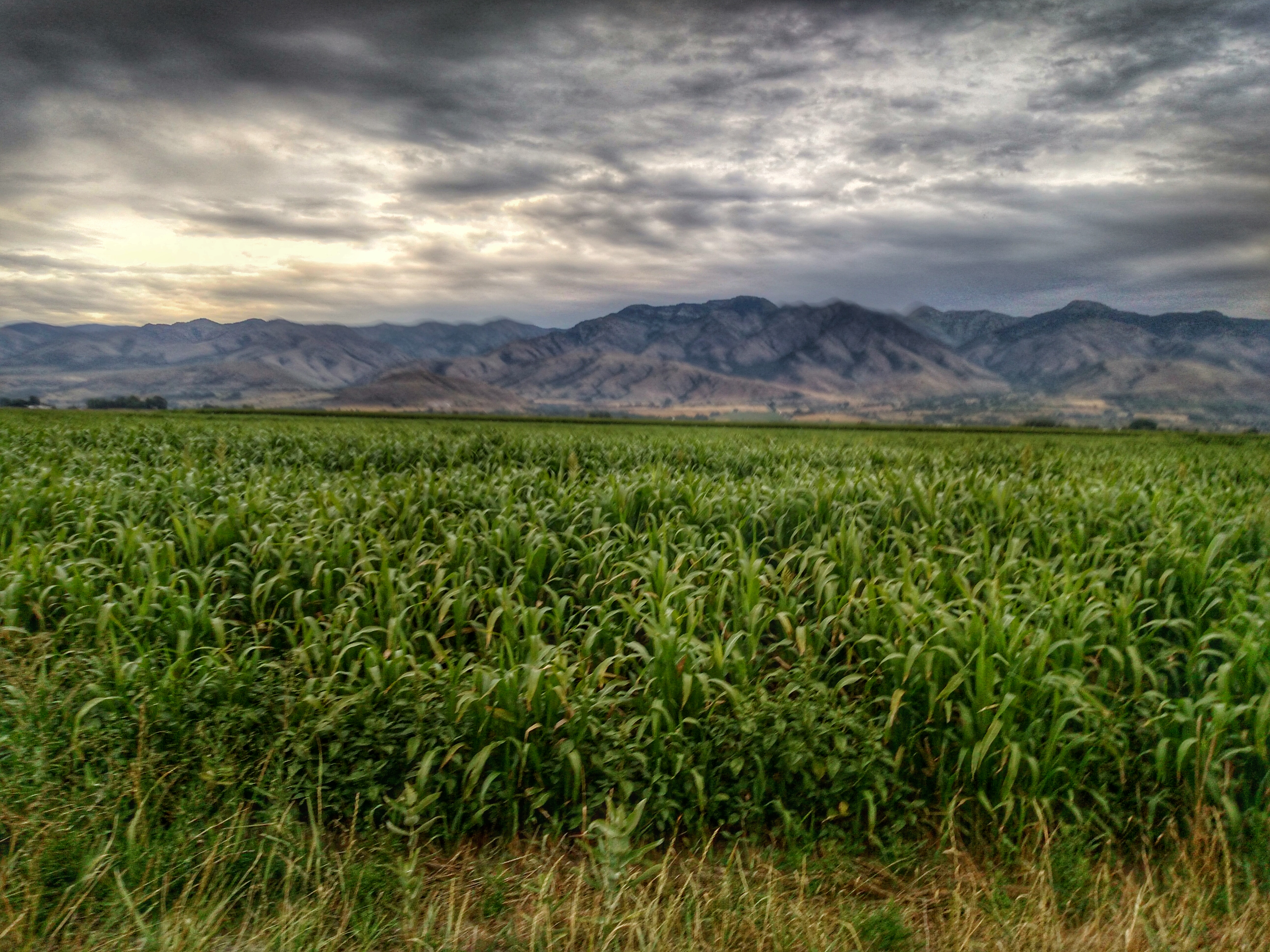
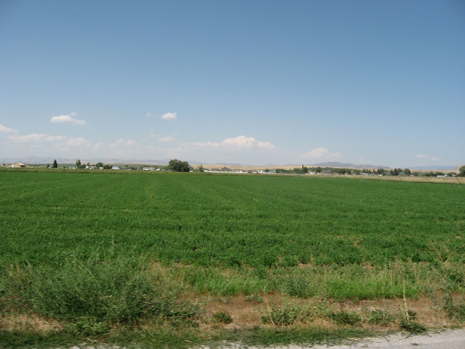
Corn fields
ngEnv-04-Riverdale-Idaho_panorama_88 copy

071507 473
Agrarian Preston, Idaho
Idaho State Highway 34 Between Preston and Soda Springs, Idaho
071507 472
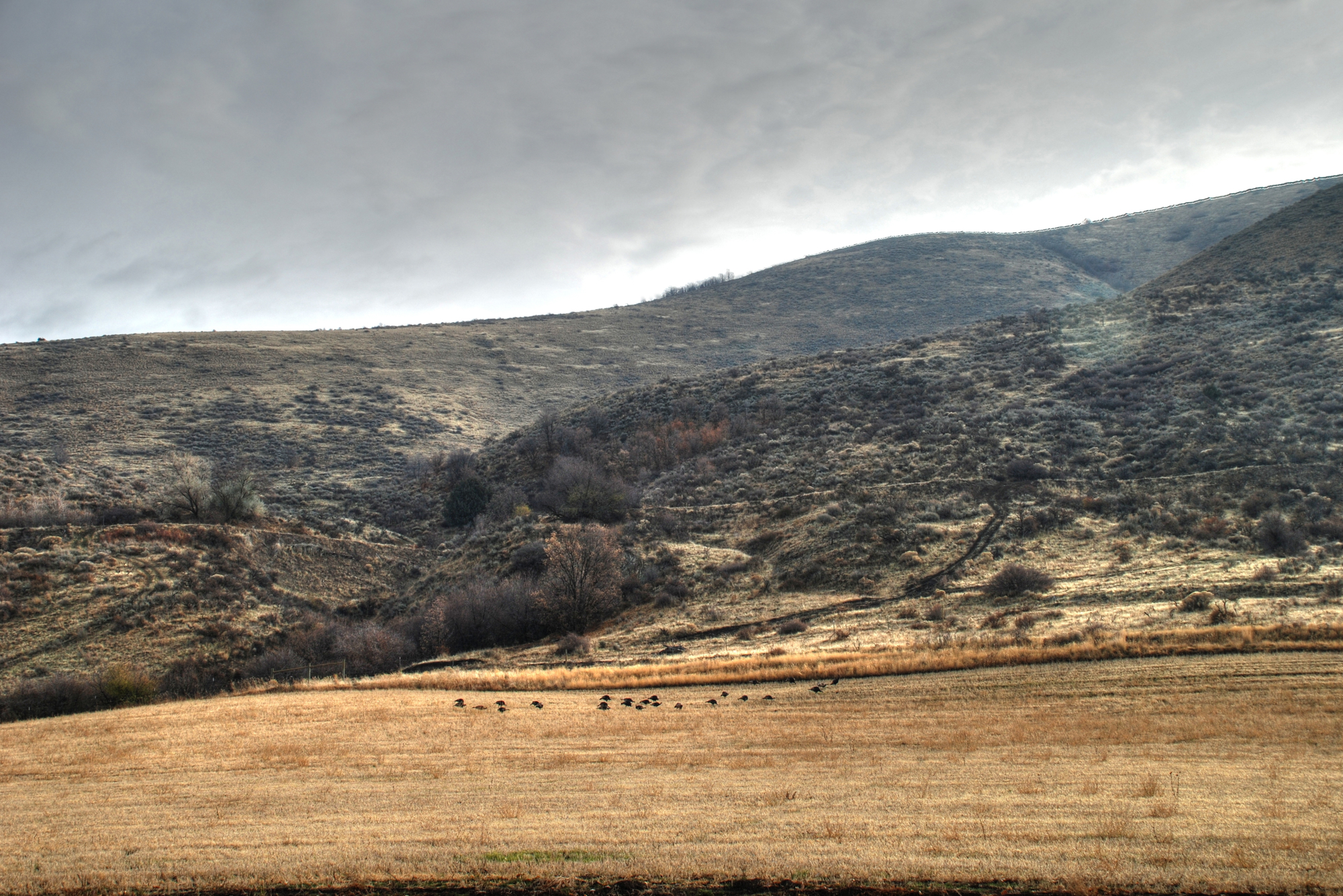
Turkey HDR

071507 461
071507 464
071507 467

Looking on
071507 466
071507 465
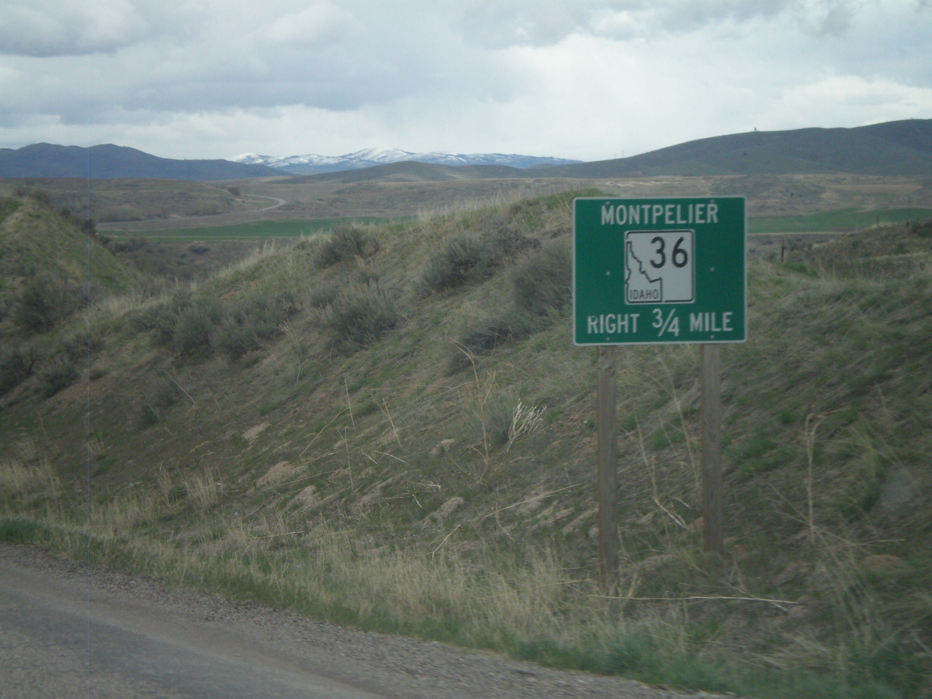
ID-34/ID-36 East Approaching ID-36

US-91 North - Pioneer Historic Byway
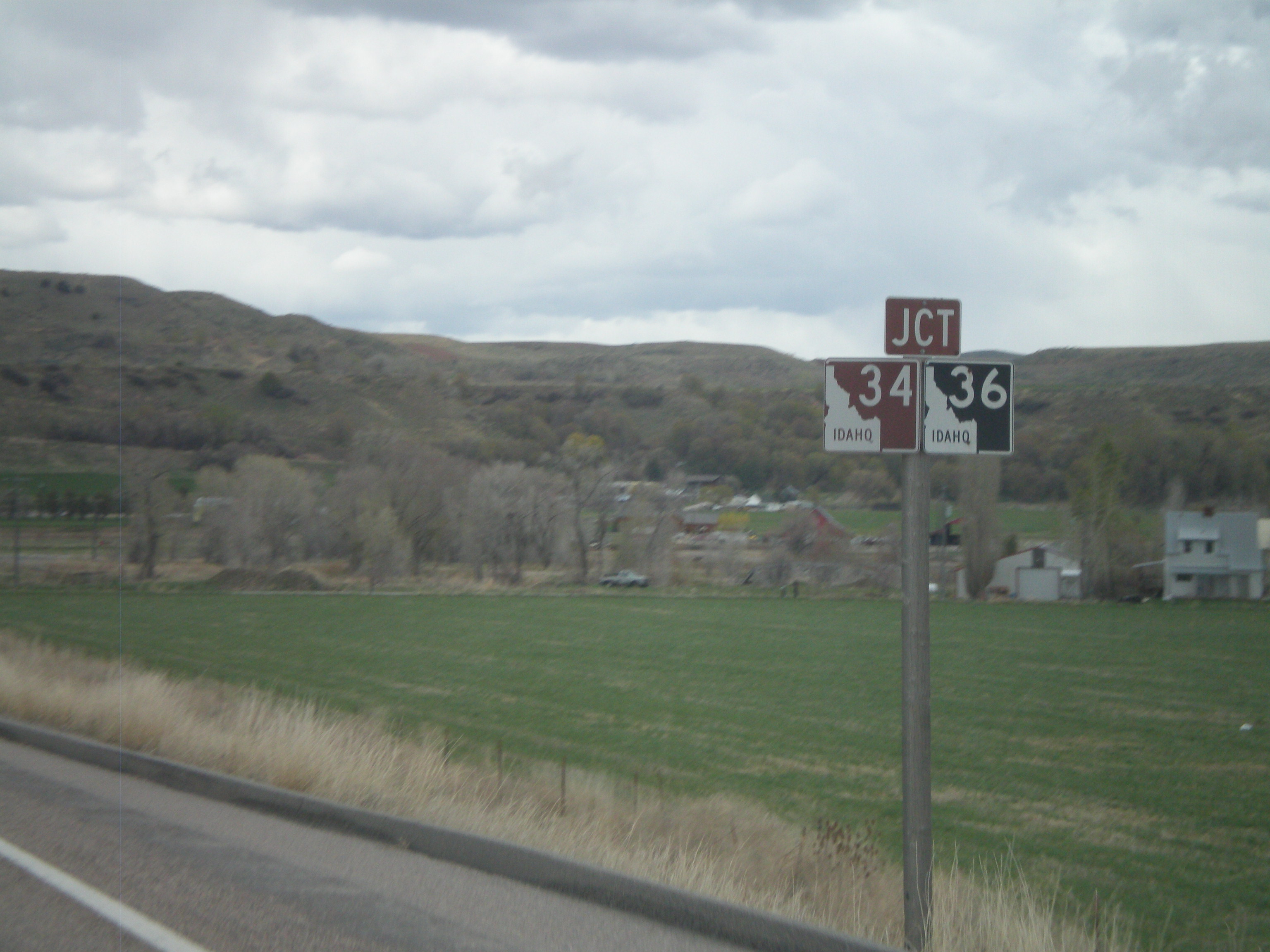
ID-34/ID-36 East Approaching Split

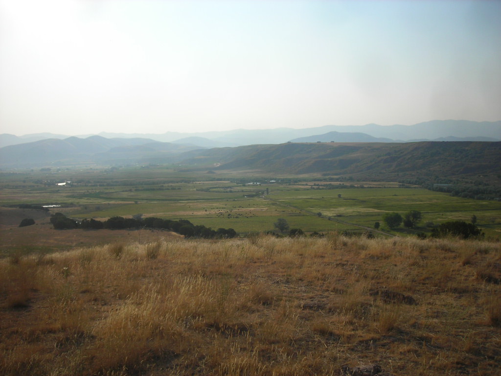
Little Mountain
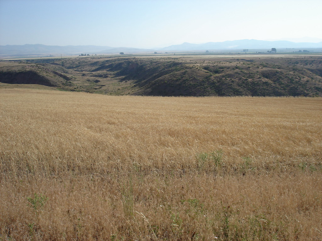
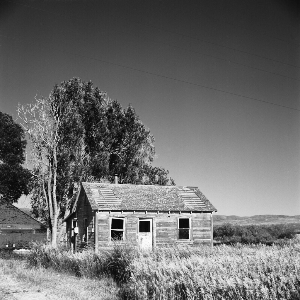
Cabin Farmland
Topographic Map of Preston, ID, USA
Find elevation by address:

Places in Preston, ID, USA:
8 S State St, Preston, ID, USA
43 Fairview-Franklin Rd, Preston, ID, USA
Stock Valley
Preston, ID, USA
Telegraph Flat
Places near Preston, ID, USA:
8 S State St, Preston, ID, USA
43 Fairview-Franklin Rd, Preston, ID, USA
E Cub River Rd, Franklin, ID, USA
Franklin
Dayton
N Westside Hwy, Dayton, ID, USA
27 N Center St, Weston, ID, USA
5363 E Cub River Rd
Cove
6688 E Cub River Rd
Preston, ID, USA
Trenton
Trenton
20 State Rte, Trenton, UT, USA
369 W 800 S
25 E Center St, Clarkston, UT, USA
Clarkston
91 N E, Smithfield, UT, USA
9258 W 9950 N
Newton
Recent Searches:
- Elevation of Corso Fratelli Cairoli, 35, Macerata MC, Italy
- Elevation of Tallevast Rd, Sarasota, FL, USA
- Elevation of 4th St E, Sonoma, CA, USA
- Elevation of Black Hollow Rd, Pennsdale, PA, USA
- Elevation of Oakland Ave, Williamsport, PA, USA
- Elevation of Pedrógão Grande, Portugal
- Elevation of Klee Dr, Martinsburg, WV, USA
- Elevation of Via Roma, Pieranica CR, Italy
- Elevation of Tavkvetili Mountain, Georgia
- Elevation of Hartfords Bluff Cir, Mt Pleasant, SC, USA