Elevation of Franklin County, ID, USA
Location: United States > Idaho >
Longitude: -111.76146
Latitude: 42.2100342
Elevation: 1494m / 4902feet
Barometric Pressure: 85KPa
Elevation Map:
Satellite Map:
Related Photos:
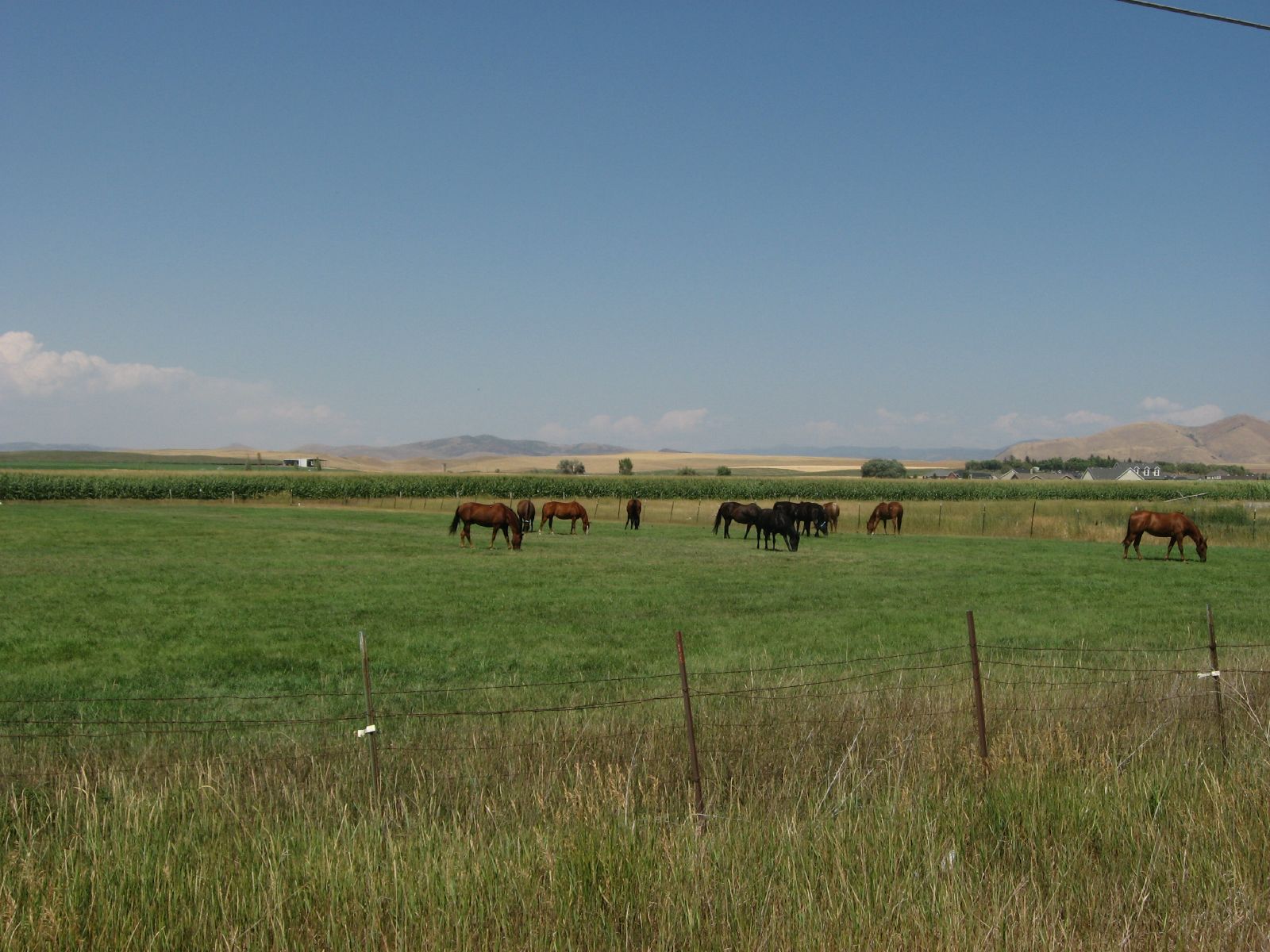
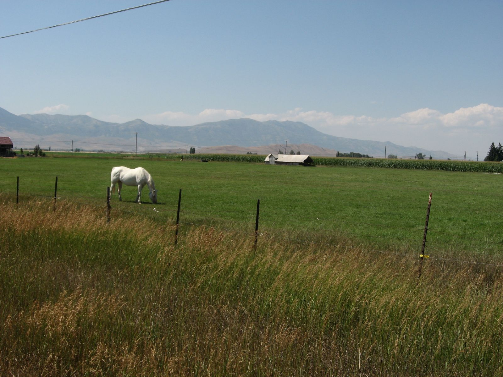
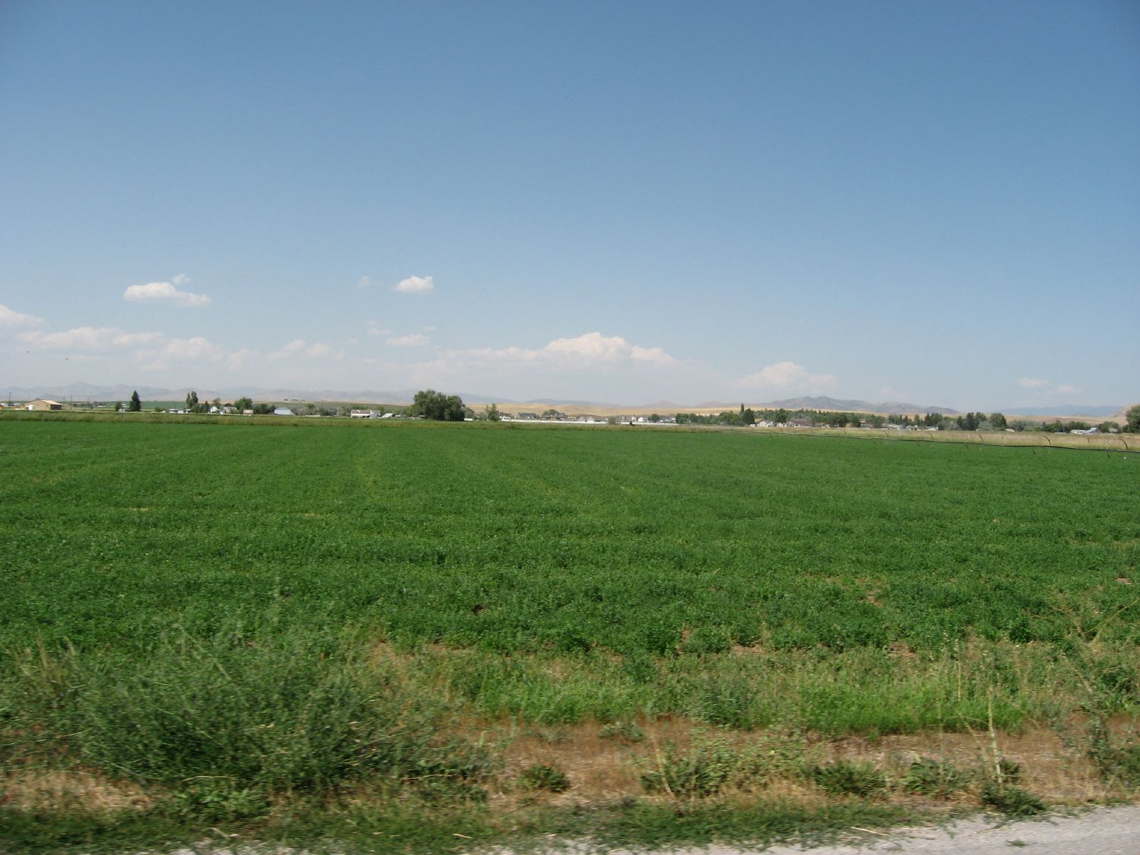
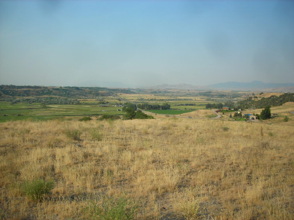
Pasture Near Preston, Idaho
071507 460
ngEnv-04-Riverdale-Idaho_panorama_88 copy

071507 473
Agrarian Preston, Idaho
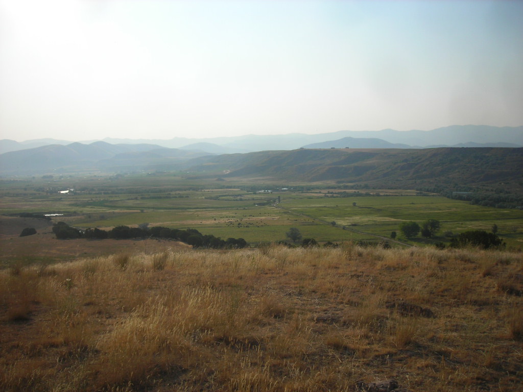
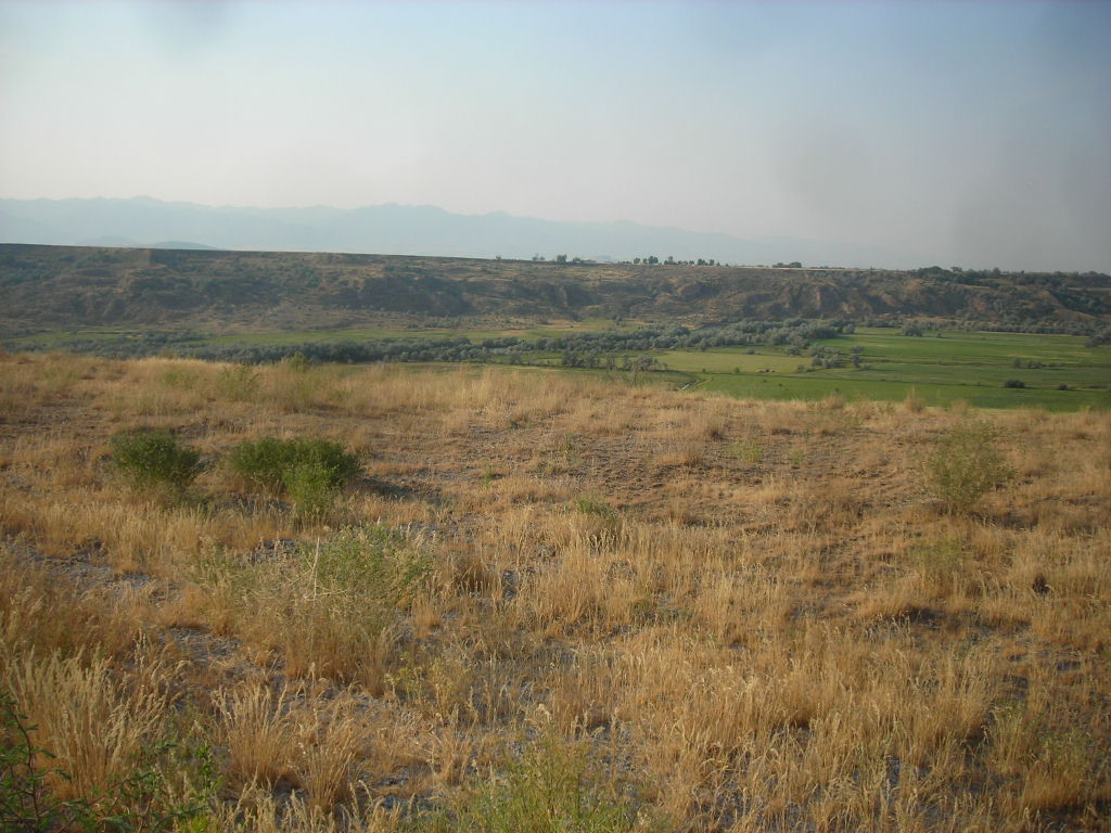
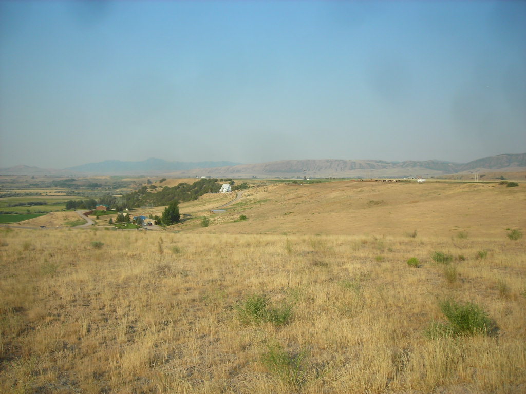
Idaho State Highway 34 Between Preston and Soda Springs, Idaho
071507 472

071507 461
071507 464
071507 467
071507 466
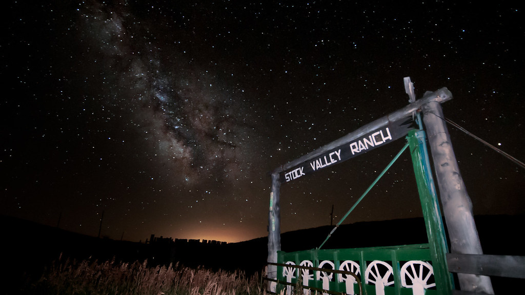
Milky Way Over Idaho

Sunset at the property. #sunset #4thofjuly #independence #july #idaho #nofilter #blue

Maple Grove Springs, Bear River, Idaho
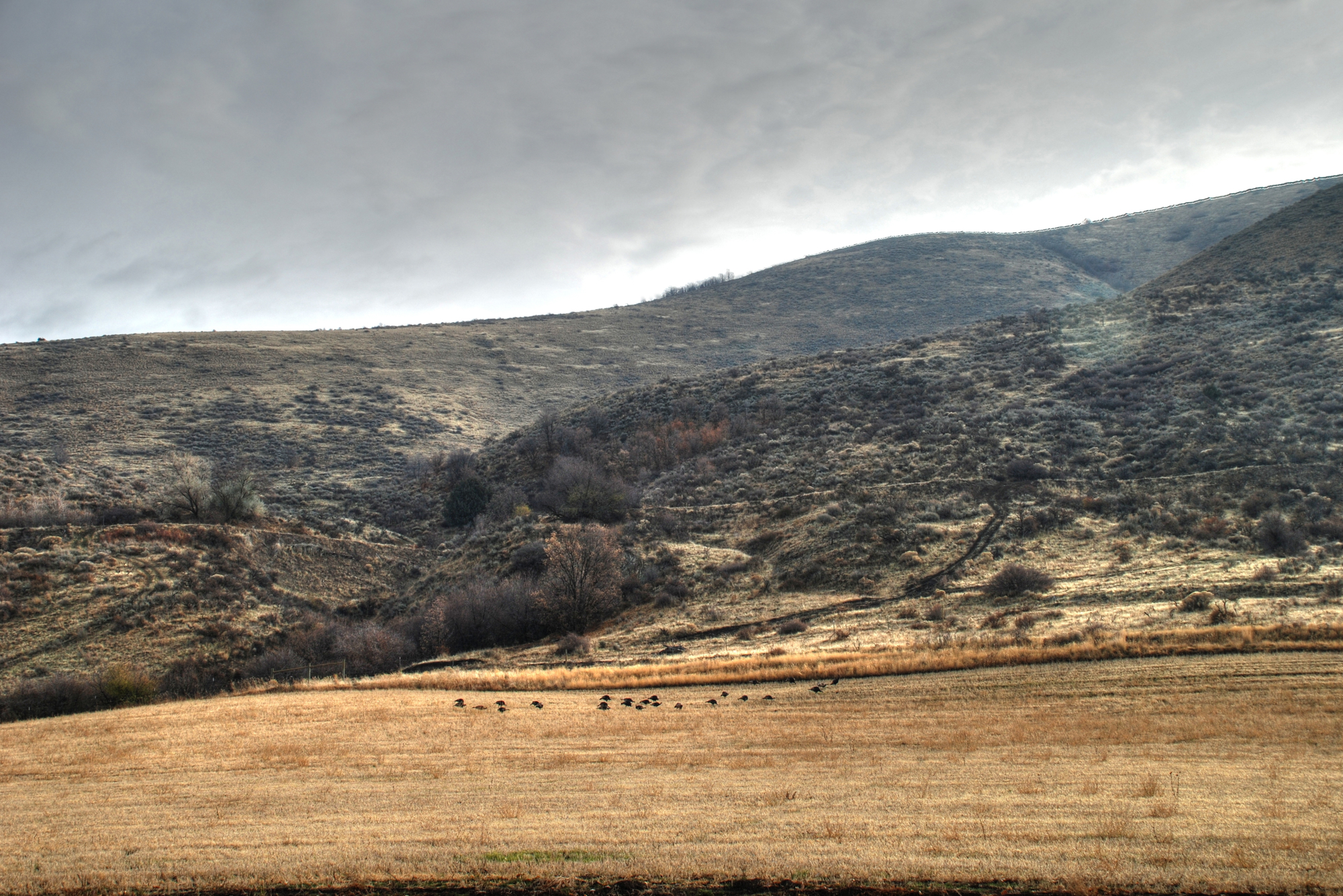
Turkey HDR

Oneida Narrows 2011
Topographic Map of Franklin County, ID, USA
Find elevation by address:

Places in Franklin County, ID, USA:
Places near Franklin County, ID, USA:
13909 N Cleveland Rd
Stock Valley
13489 N Johnson Rd
Swan Lake Rd, Downey, ID, USA
Bloomington
Paris
15 N 2nd St, Bloomington, ID, USA
Ovid
Downey
3930 E 5500 N
Huggins Circle
9065 Big Bear Rd
Devils Creek Reservoir
Deer Creek
11242 S Dempsey Creek Rd
760 Jefferson St
Diamond Heart Brand Beef Grass Fed Beef
U.s. 91
Soda Springs
Georgetown
Recent Searches:
- Elevation of Corso Fratelli Cairoli, 35, Macerata MC, Italy
- Elevation of Tallevast Rd, Sarasota, FL, USA
- Elevation of 4th St E, Sonoma, CA, USA
- Elevation of Black Hollow Rd, Pennsdale, PA, USA
- Elevation of Oakland Ave, Williamsport, PA, USA
- Elevation of Pedrógão Grande, Portugal
- Elevation of Klee Dr, Martinsburg, WV, USA
- Elevation of Via Roma, Pieranica CR, Italy
- Elevation of Tavkvetili Mountain, Georgia
- Elevation of Hartfords Bluff Cir, Mt Pleasant, SC, USA