Elevation of U.S. 91, US-91, United States
Location: United States > Idaho > Bannock County > Downey >
Longitude: -112.15318
Latitude: 42.4710111
Elevation: 1476m / 4843feet
Barometric Pressure: 85KPa
Elevation Map:
Satellite Map:
Related Photos:
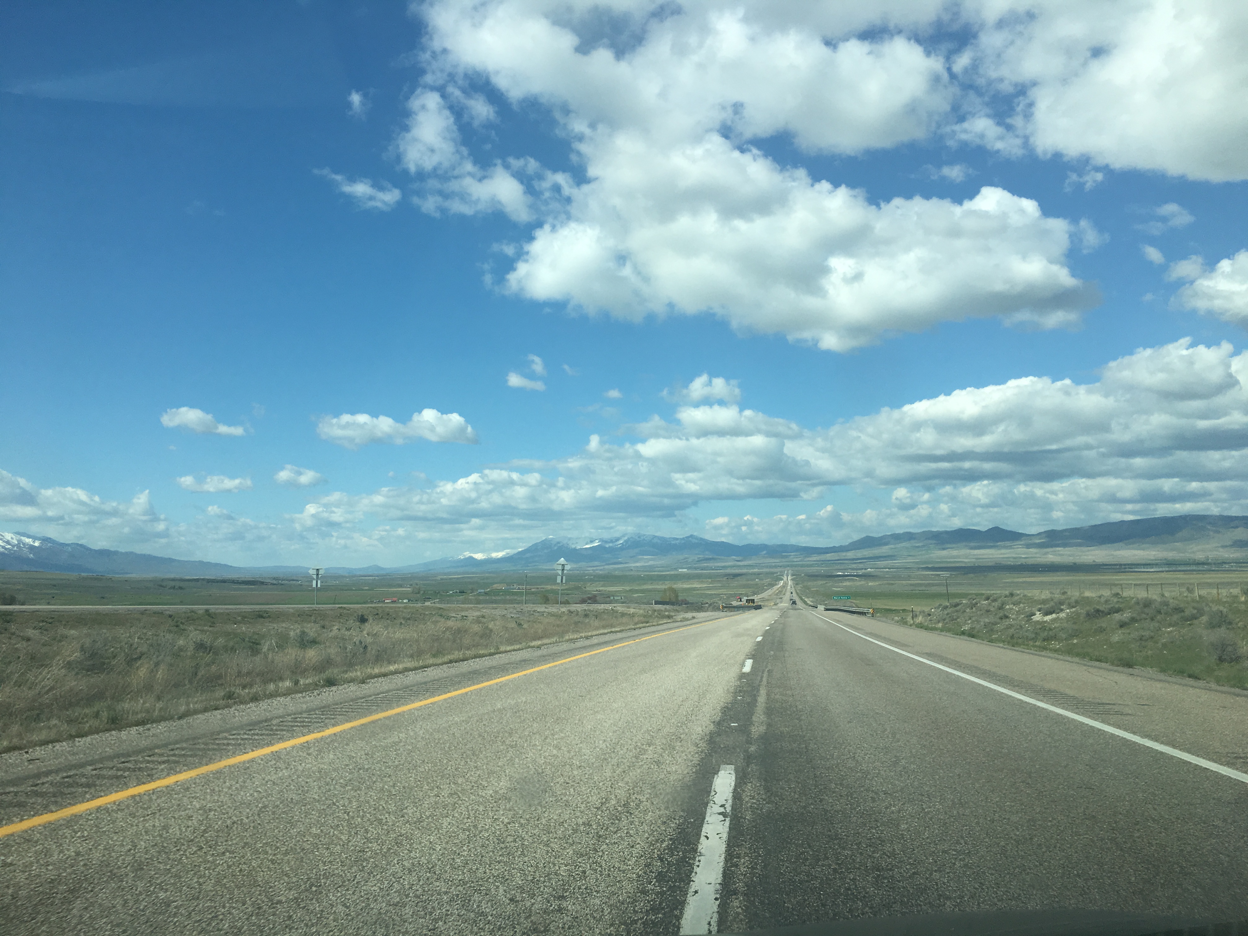
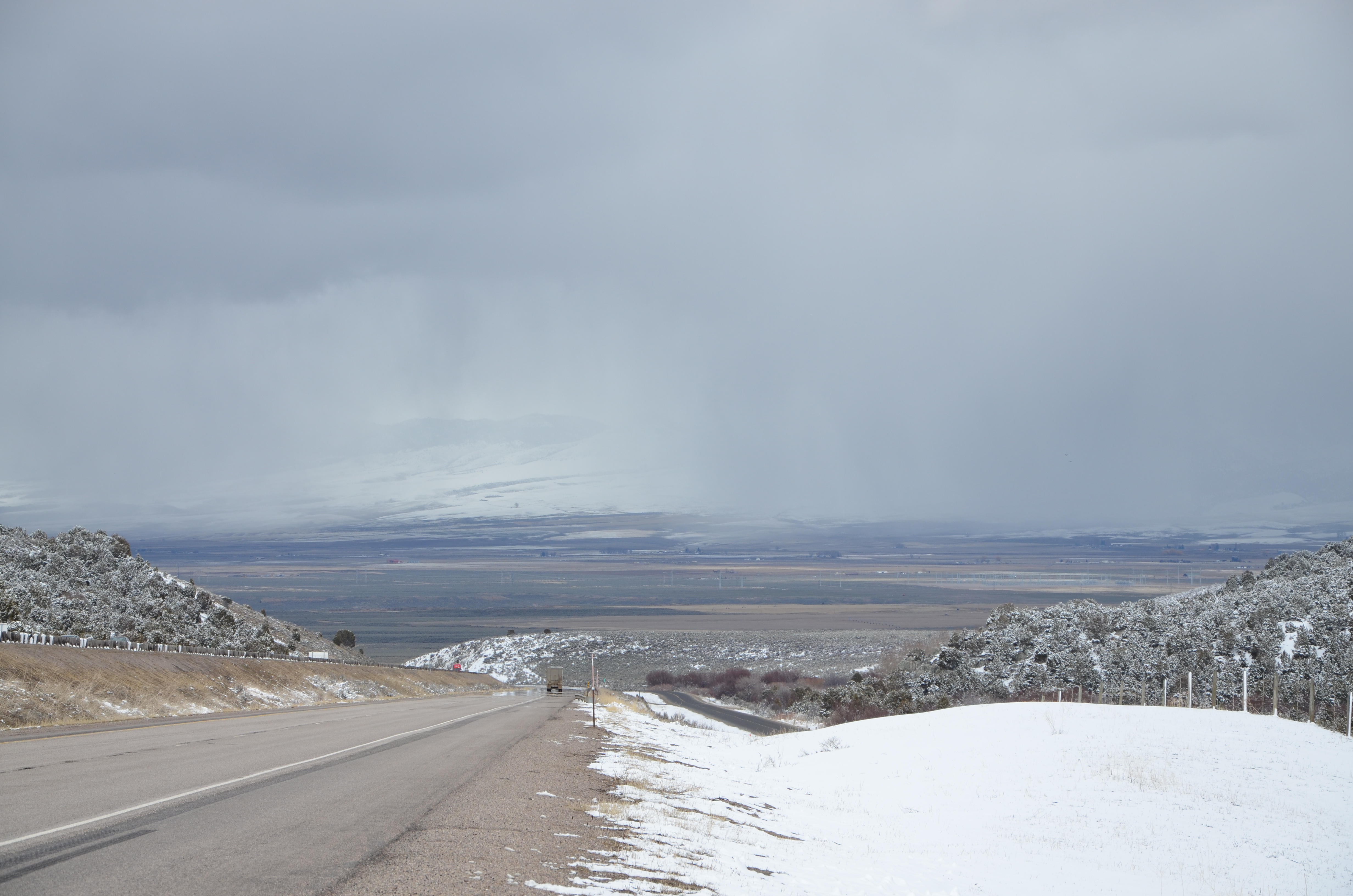
North Towards Idaho.
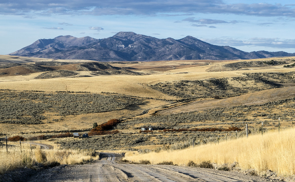
Dry farm. SE Idaho. October. Portneuf Range mountains

Jct. I-15 on ID-40 West
Red Rock Pass

"Fiery Red Dart" Flame Skimmer at Downey ID 05Jul2011

USA und Kanada 2013 - 40 Anfahrt Salt Lake City - 013
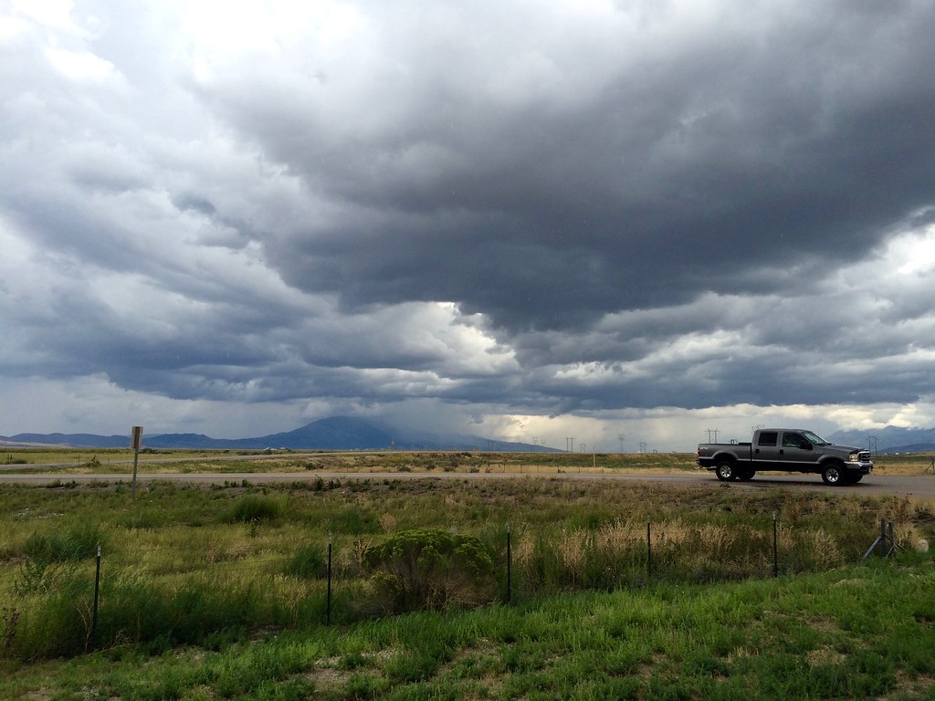
Somewhere in Idaho
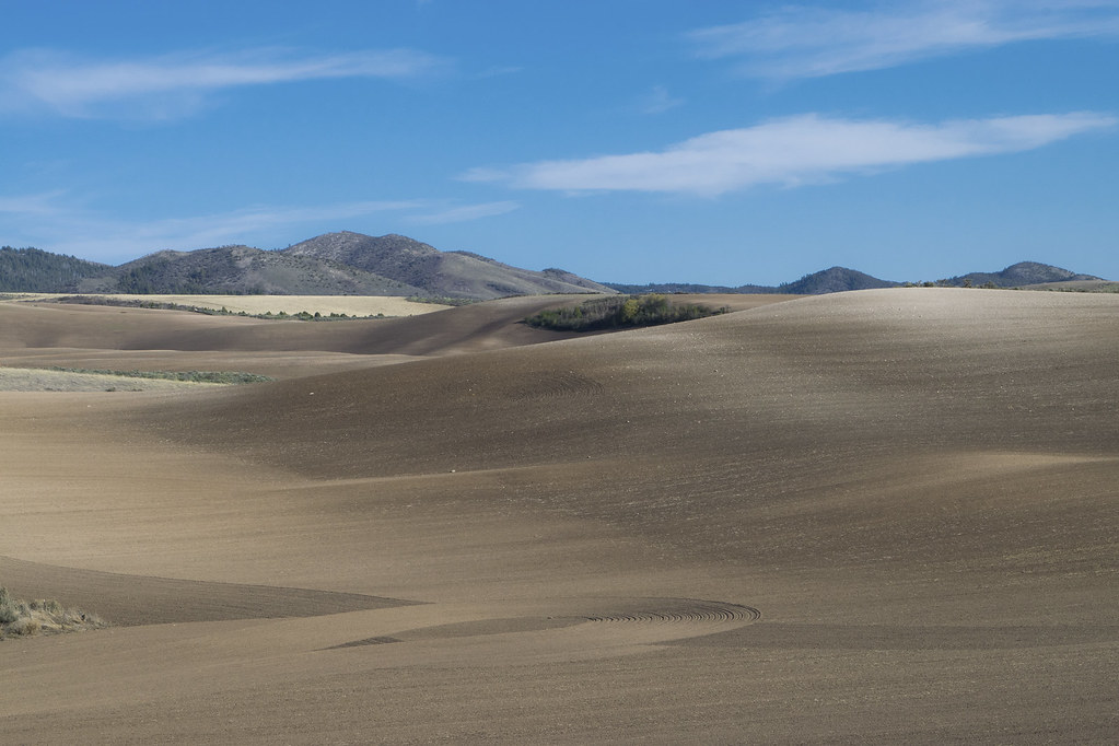
Springtime plowed field off Tripp Road. Portneuf Range foothills
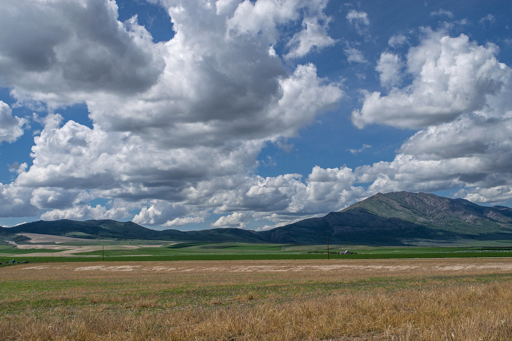
Old Tom mountain (rt.) and Bannock Range from Marsh Valley
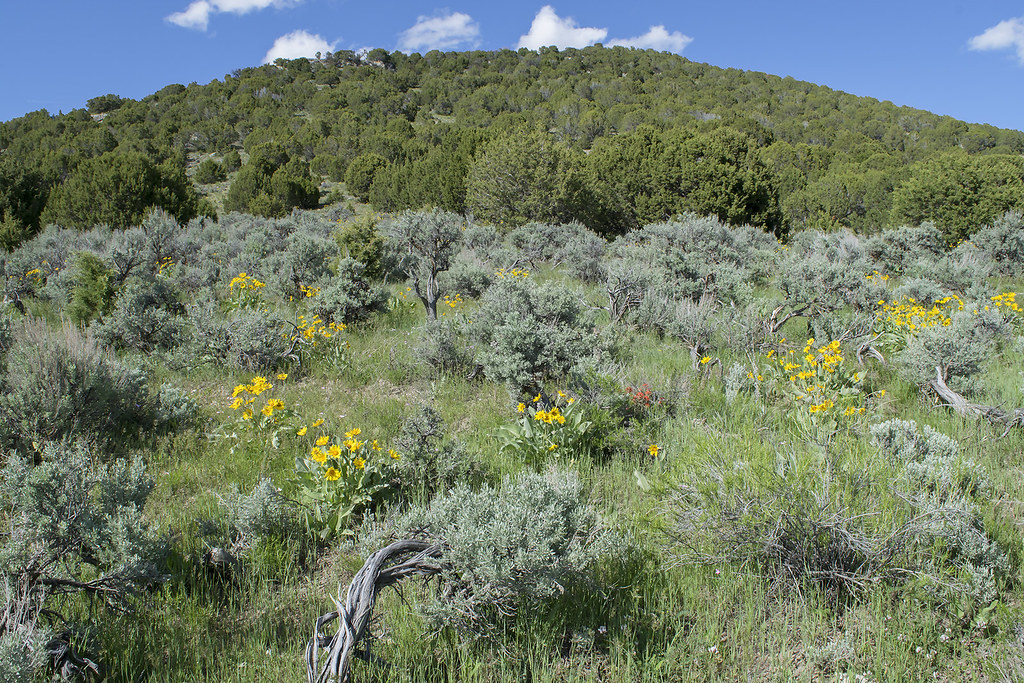
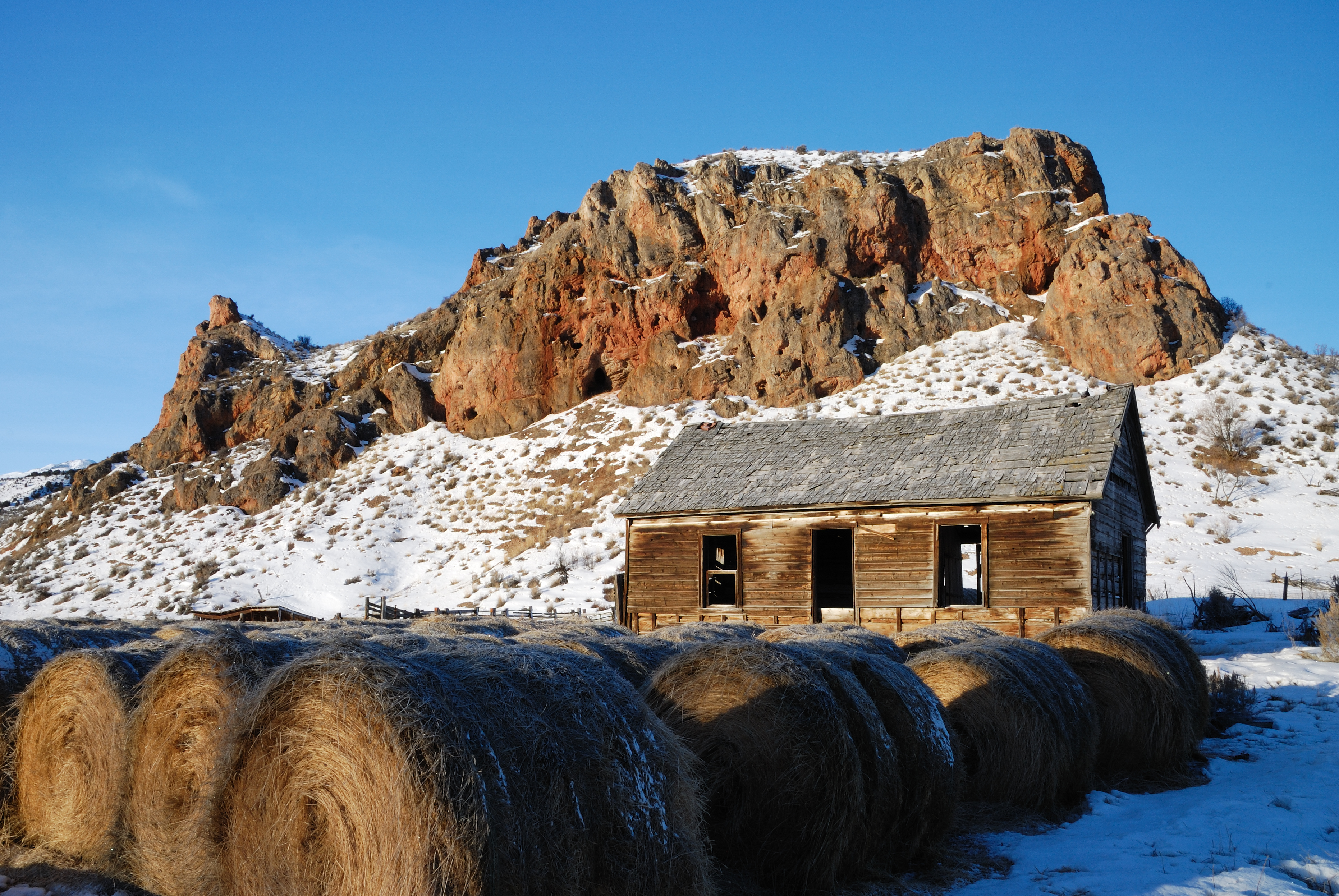
Southeast Idaho hill

USA und Kanada 2013 - 40 Anfahrt Salt Lake City - 015
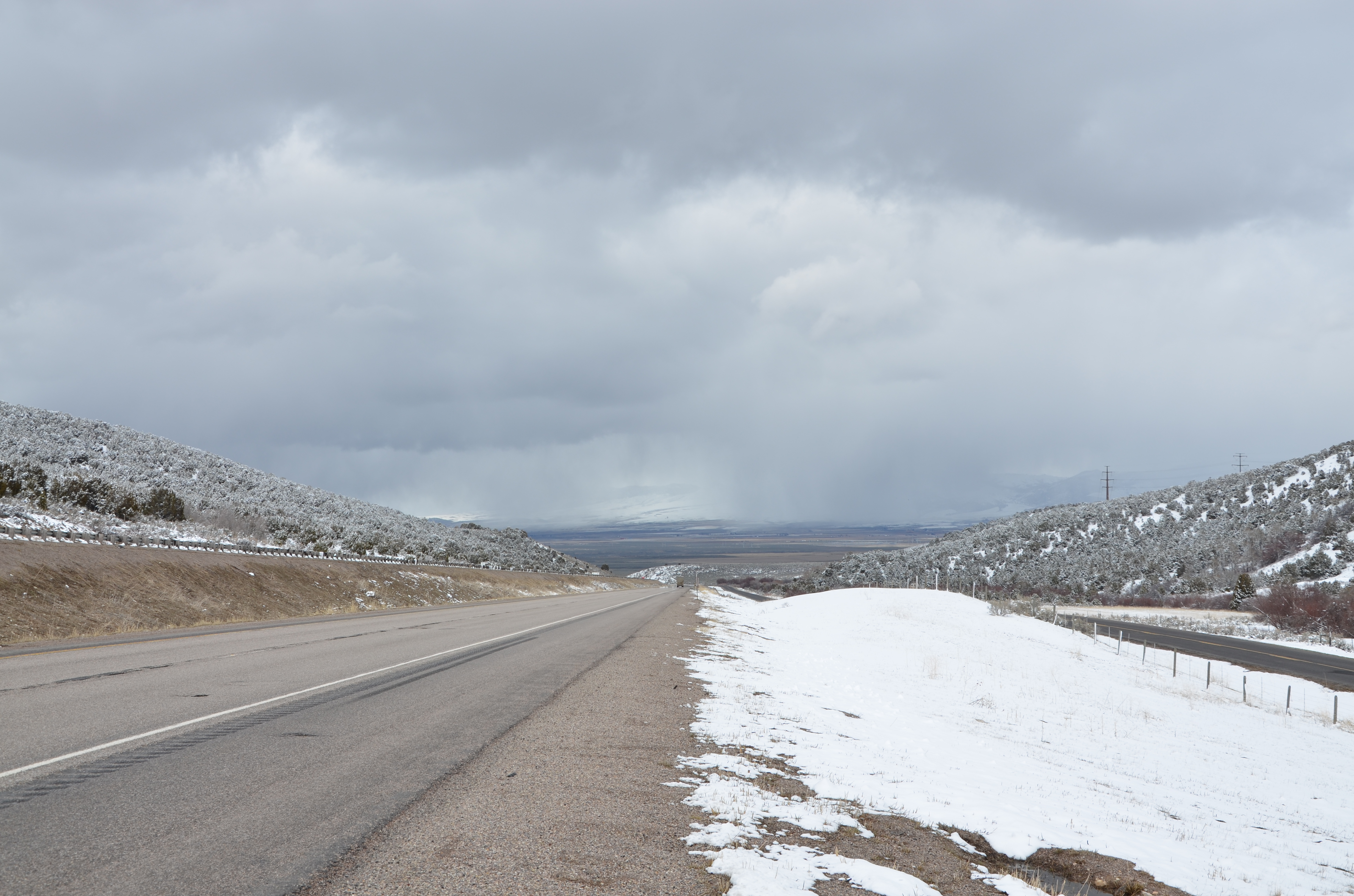
Down into a valley
A closer look

Long ways to Idaho Falls
Topographic Map of U.S. 91, US-91, United States
Find elevation by address:

Places near U.S. 91, US-91, United States:
S Washington Ave, Downey, ID, USA
E Smith Canyon Rd, Downey, ID, USA
Downey
Arimo
Huggins Circle
Bannock County
Butch Spring
9065 Big Bear Rd
W Glover Rd, Arimo, ID, USA
Pine Drive
Deer Creek
9066 S Robin Rd
1507 S Front St
Devils Creek Reservoir
Mccammon
11242 S Dempsey Creek Rd
3930 E 5500 N
Lava Hot Springs
6727 S Aslett Rd
Swan Lake Rd, Downey, ID, USA
Recent Searches:
- Elevation of Corso Fratelli Cairoli, 35, Macerata MC, Italy
- Elevation of Tallevast Rd, Sarasota, FL, USA
- Elevation of 4th St E, Sonoma, CA, USA
- Elevation of Black Hollow Rd, Pennsdale, PA, USA
- Elevation of Oakland Ave, Williamsport, PA, USA
- Elevation of Pedrógão Grande, Portugal
- Elevation of Klee Dr, Martinsburg, WV, USA
- Elevation of Via Roma, Pieranica CR, Italy
- Elevation of Tavkvetili Mountain, Georgia
- Elevation of Hartfords Bluff Cir, Mt Pleasant, SC, USA