Elevation of S Dempsey Creek Rd, Lava Hot Springs, ID, USA
Location: United States > Idaho > Bannock County > Lava Hot Springs >
Longitude: -112.01648
Latitude: 42.59979
Elevation: 1574m / 5164feet
Barometric Pressure: 84KPa
Elevation Map:
Satellite Map:
Related Photos:
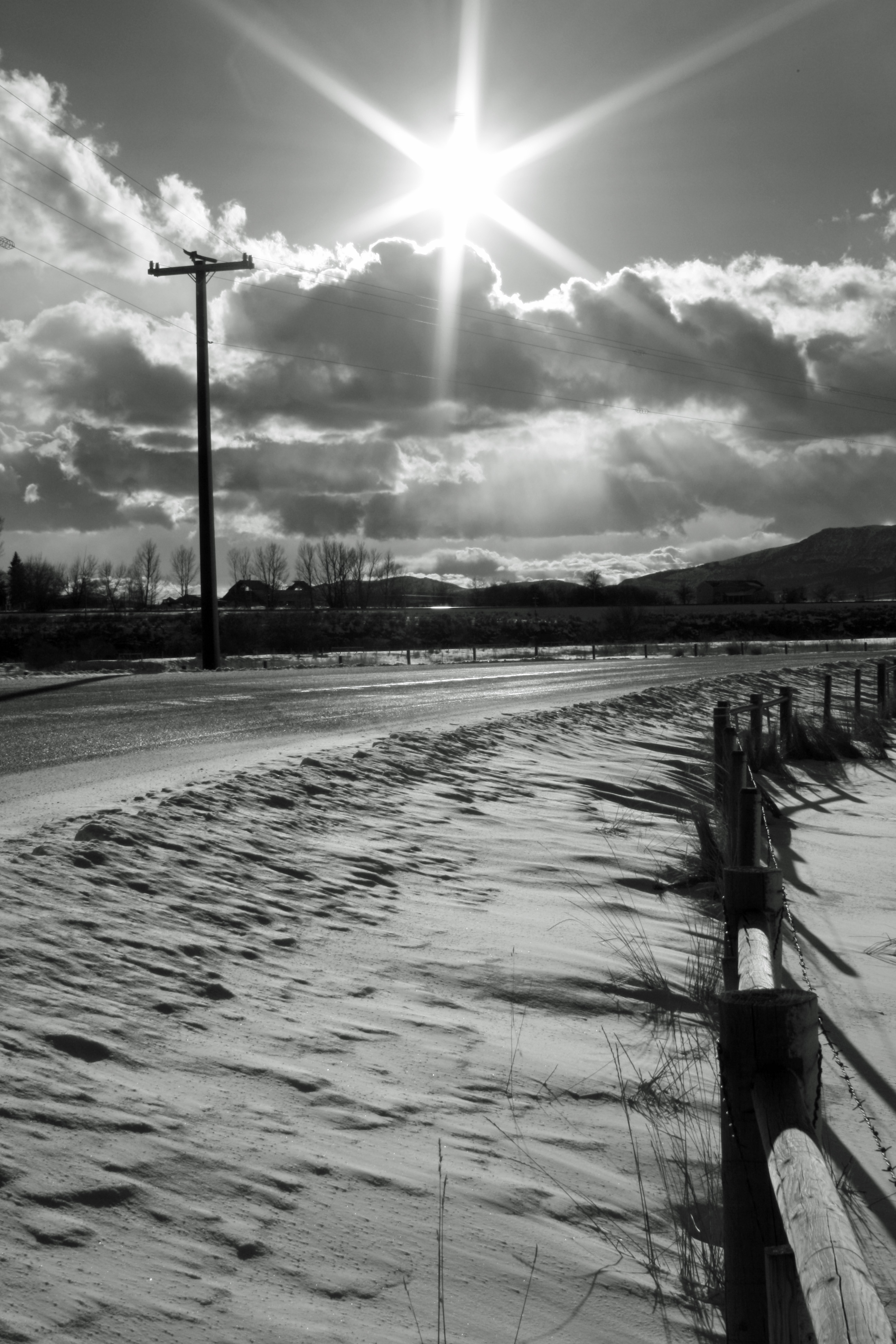
Press Road

Irrigation in Progress

West of Chesterfield panorama
Future (or past) UFO abduction setting...

Irrigation in Progress

Idaho Mountains
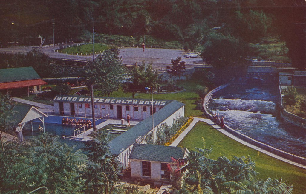
Lava Hot Springs Foundation - Lava Hot Springs, Idaho
Portnuef HDR 3

Boise 043

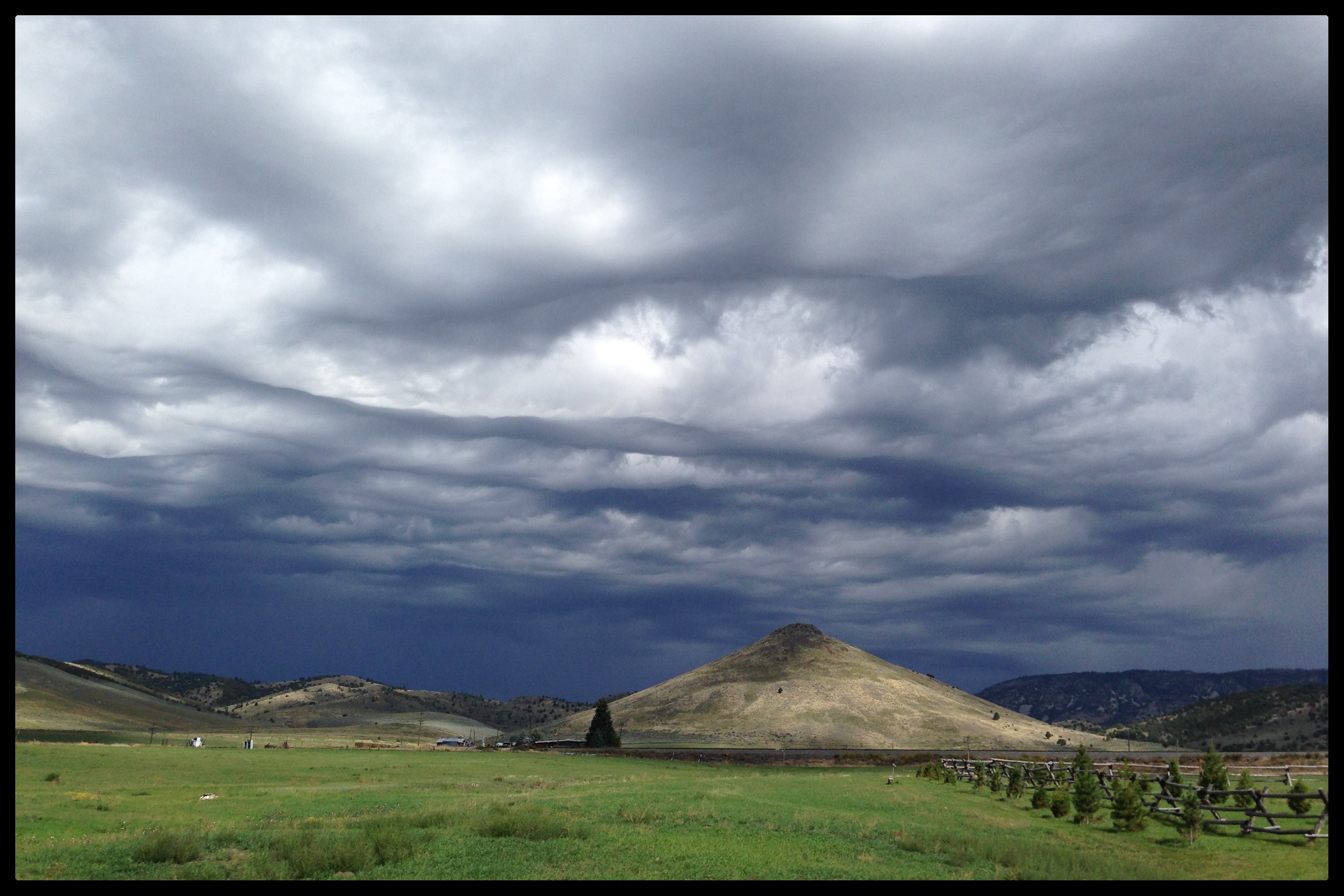
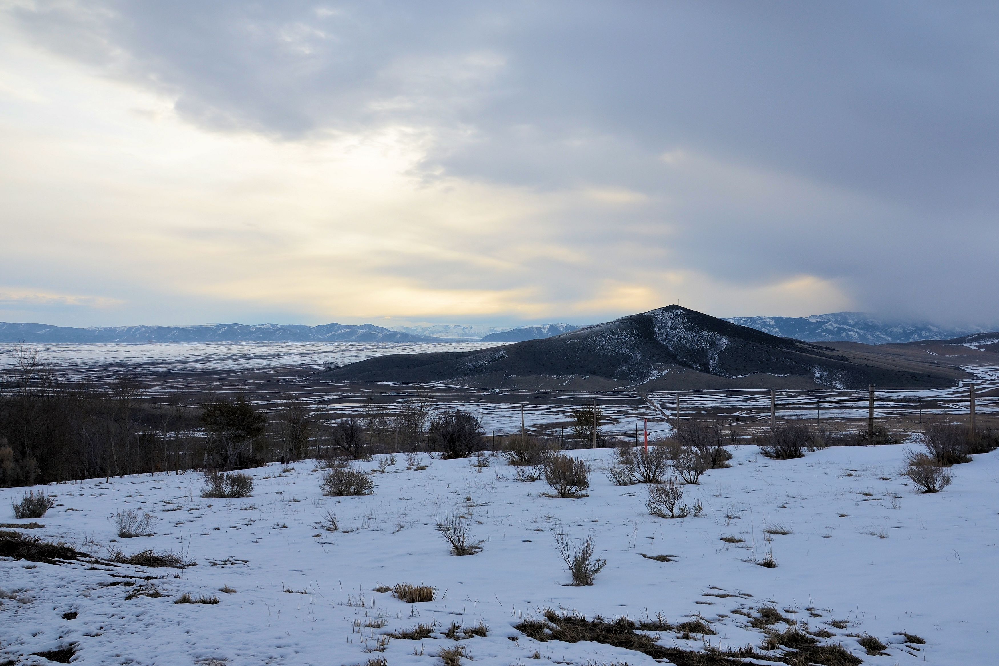
Southeastern Idaho Landscape (Caribou County, Idaho)
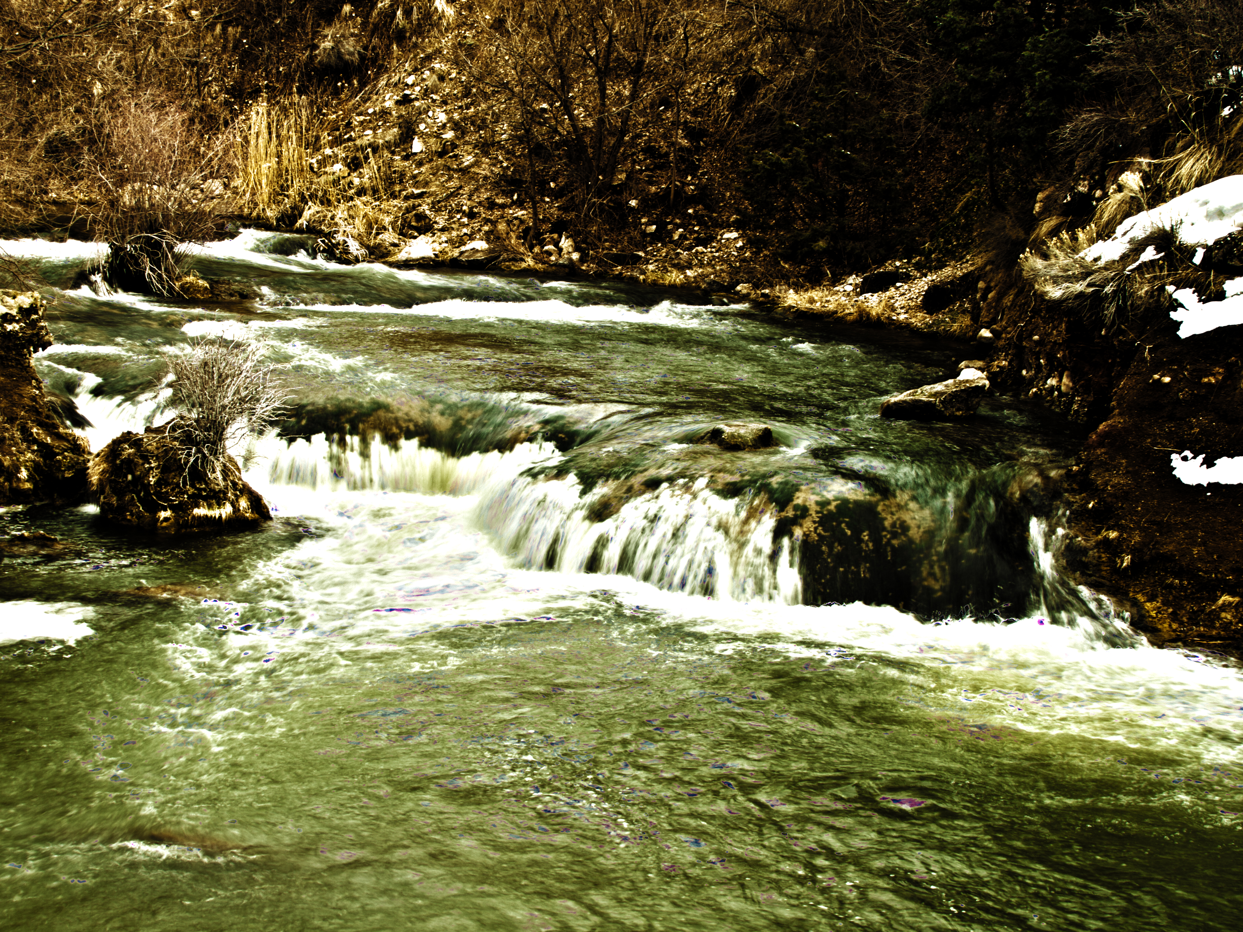
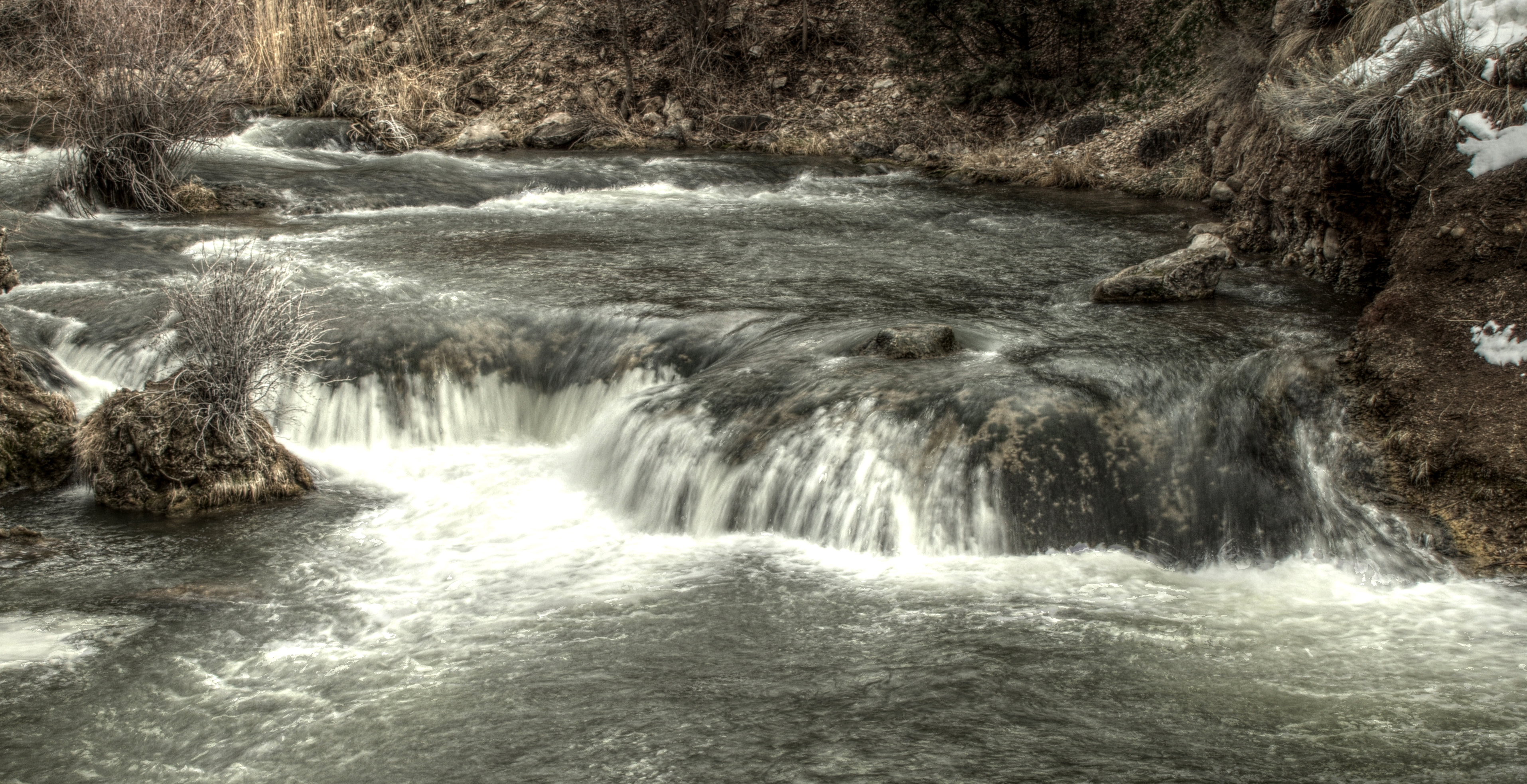
Portnuef Cascades In Lava Hot Springs HDR

032613-129F
032613-130F
2010-07-13 08.27.49
Nine Exposure Poertnuef Cascade

L on Mountain

2008 05 24 (127)

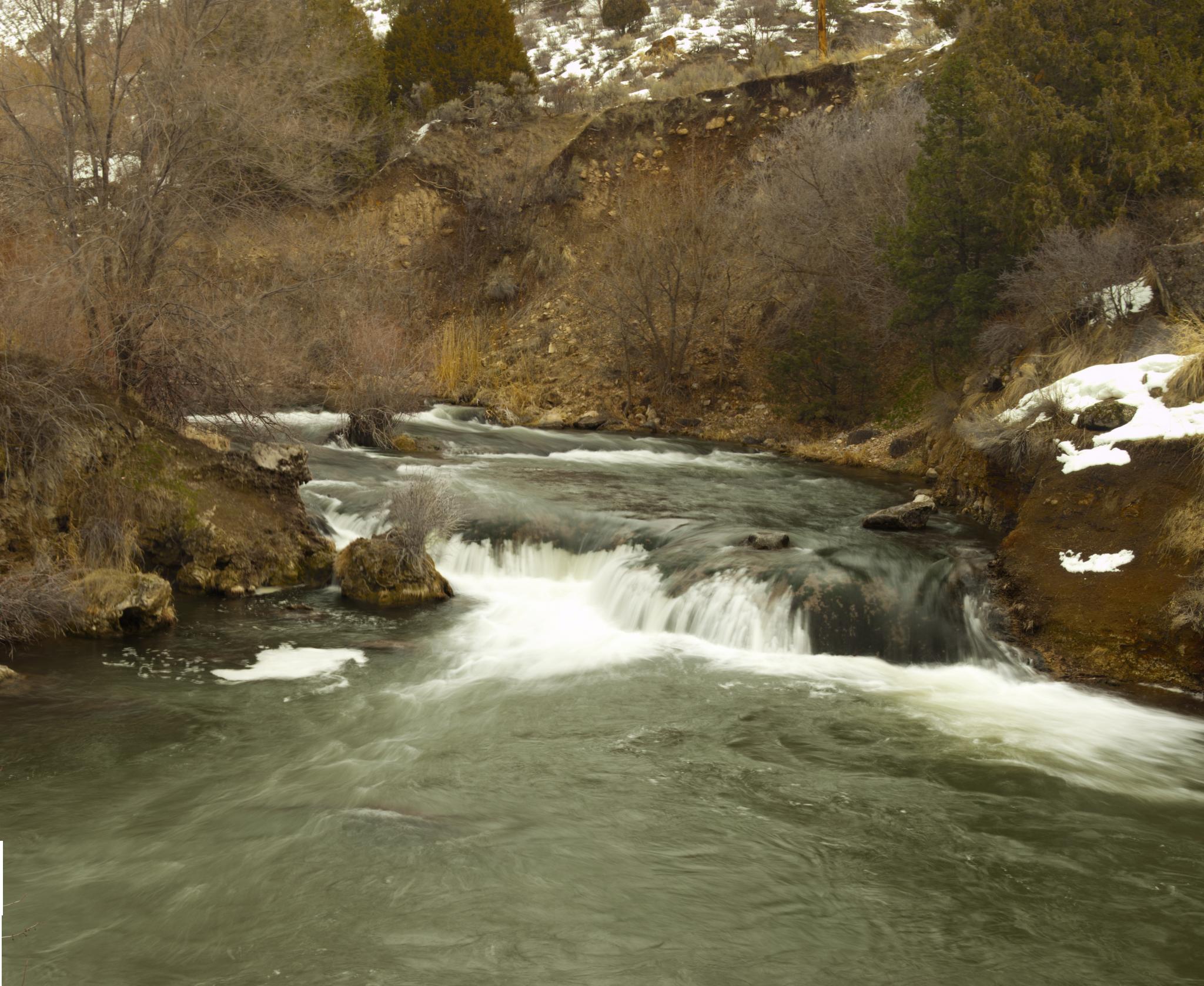
Portneuf River | Lava Hot Springs, ID

River in Idaho

Lava Hot Springs Idaho

Lava Hot Springs
Topographic Map of S Dempsey Creek Rd, Lava Hot Springs, ID, USA
Find elevation by address:

Places near S Dempsey Creek Rd, Lava Hot Springs, ID, USA:
Lava Hot Springs
Deer Creek
Pine Drive
9065 Big Bear Rd
Huggins Circle
Bannock County
Arimo
E Smith Canyon Rd, Downey, ID, USA
224 S 1st E
1507 S Front St
Bancroft
S Washington Ave, Downey, ID, USA
Mccammon
U.s. 91
9066 S Robin Rd
Downey
6727 S Aslett Rd
Pebble Creek Ski Area
W Glover Rd, Arimo, ID, USA
S Marsh Creek Rd, McCammon, ID, USA
Recent Searches:
- Elevation of Corso Fratelli Cairoli, 35, Macerata MC, Italy
- Elevation of Tallevast Rd, Sarasota, FL, USA
- Elevation of 4th St E, Sonoma, CA, USA
- Elevation of Black Hollow Rd, Pennsdale, PA, USA
- Elevation of Oakland Ave, Williamsport, PA, USA
- Elevation of Pedrógão Grande, Portugal
- Elevation of Klee Dr, Martinsburg, WV, USA
- Elevation of Via Roma, Pieranica CR, Italy
- Elevation of Tavkvetili Mountain, Georgia
- Elevation of Hartfords Bluff Cir, Mt Pleasant, SC, USA