Elevation of Pebble Creek Ski Area, E Green Canyon Rd, Inkom, ID, USA
Location: United States > Idaho > Bannock County >
Longitude: -112.15927
Latitude: 42.7785584
Elevation: 2030m / 6660feet
Barometric Pressure: 79KPa
Elevation Map:
Satellite Map:
Related Photos:
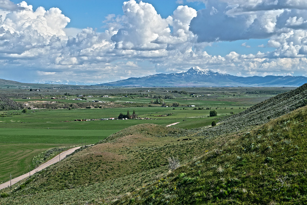
View to south down Marsh Valley to snowcapped Oxford Peak

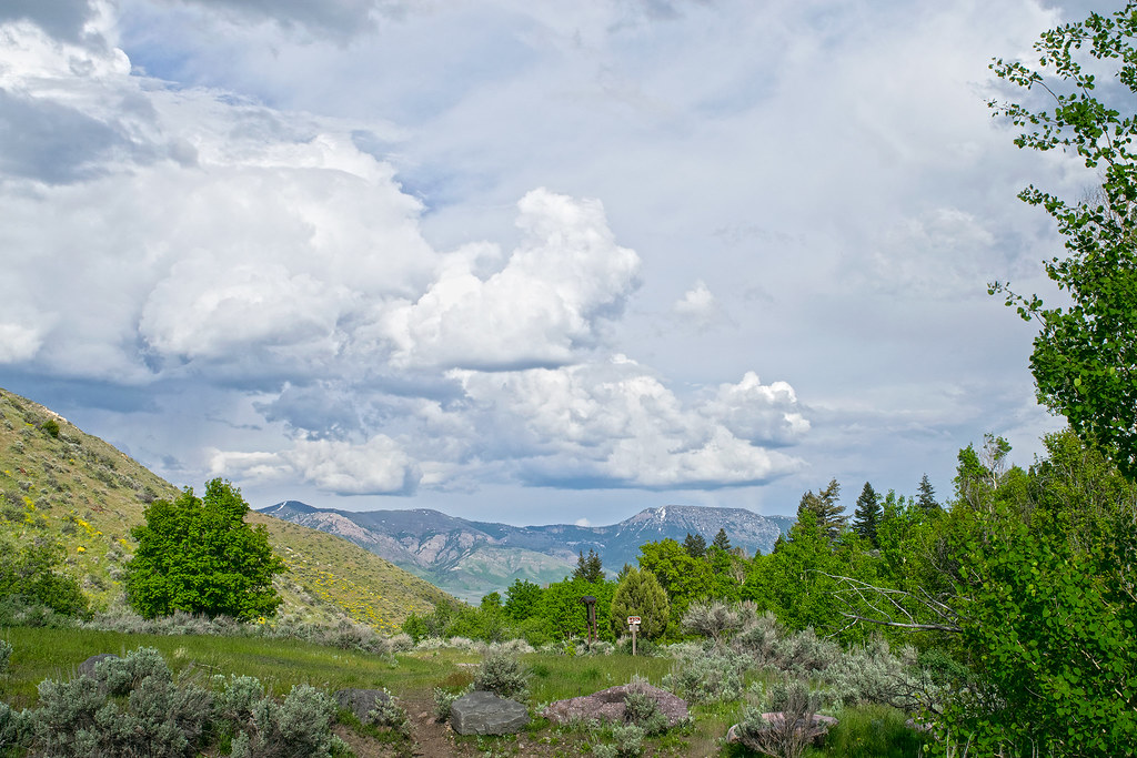
Clouds at Portneuf Gap
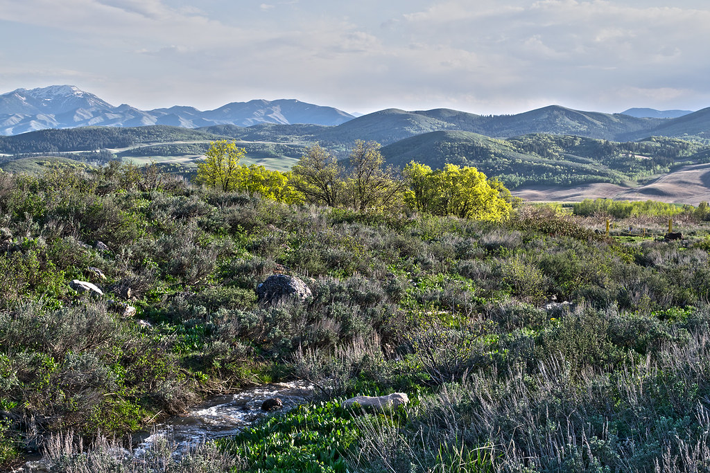
Springtime at McNabb Creek. Portneuf Range foothills. SE Idaho
Day 92 - McCammon
Near McNabb Cr. view southwest
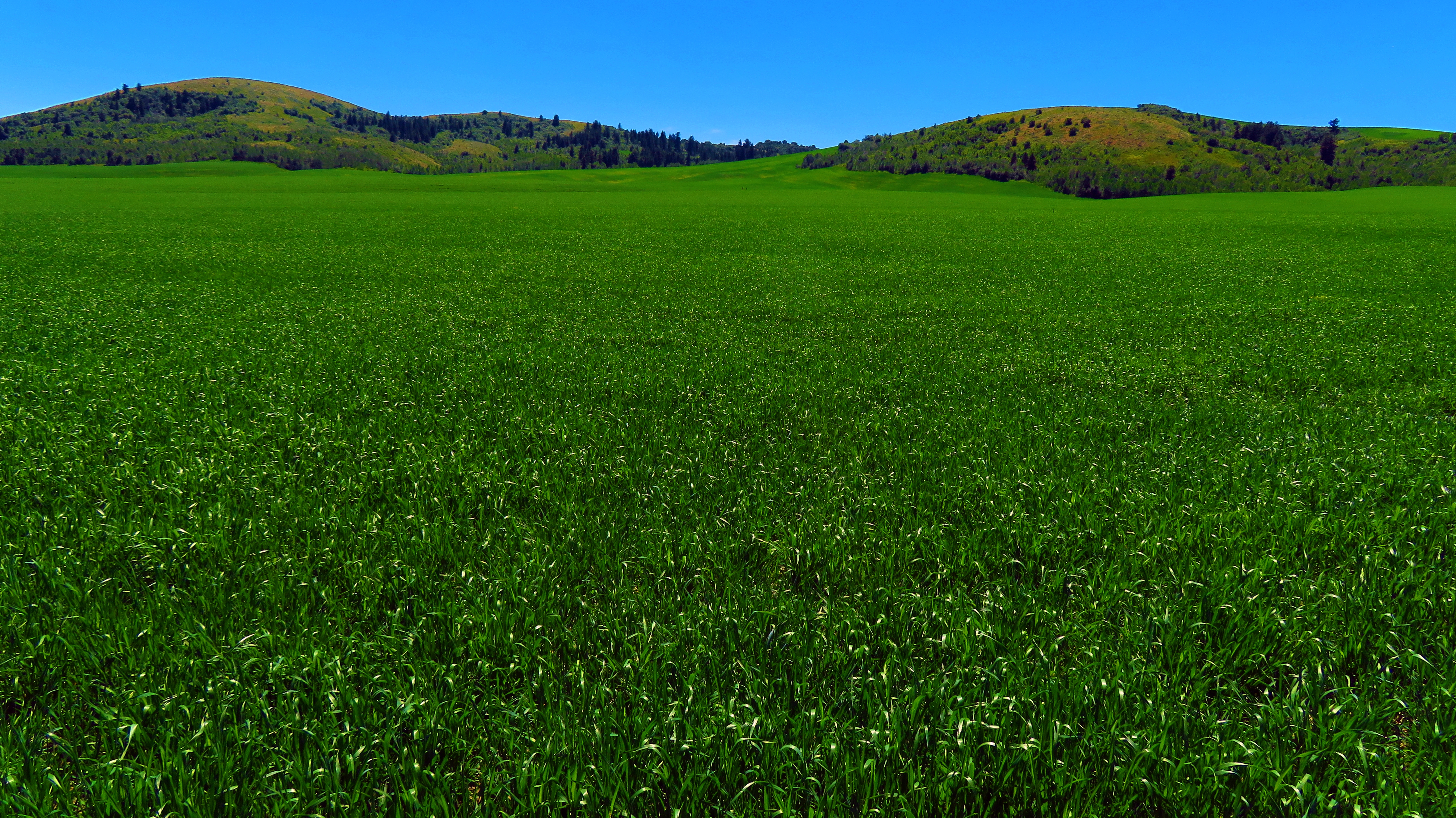
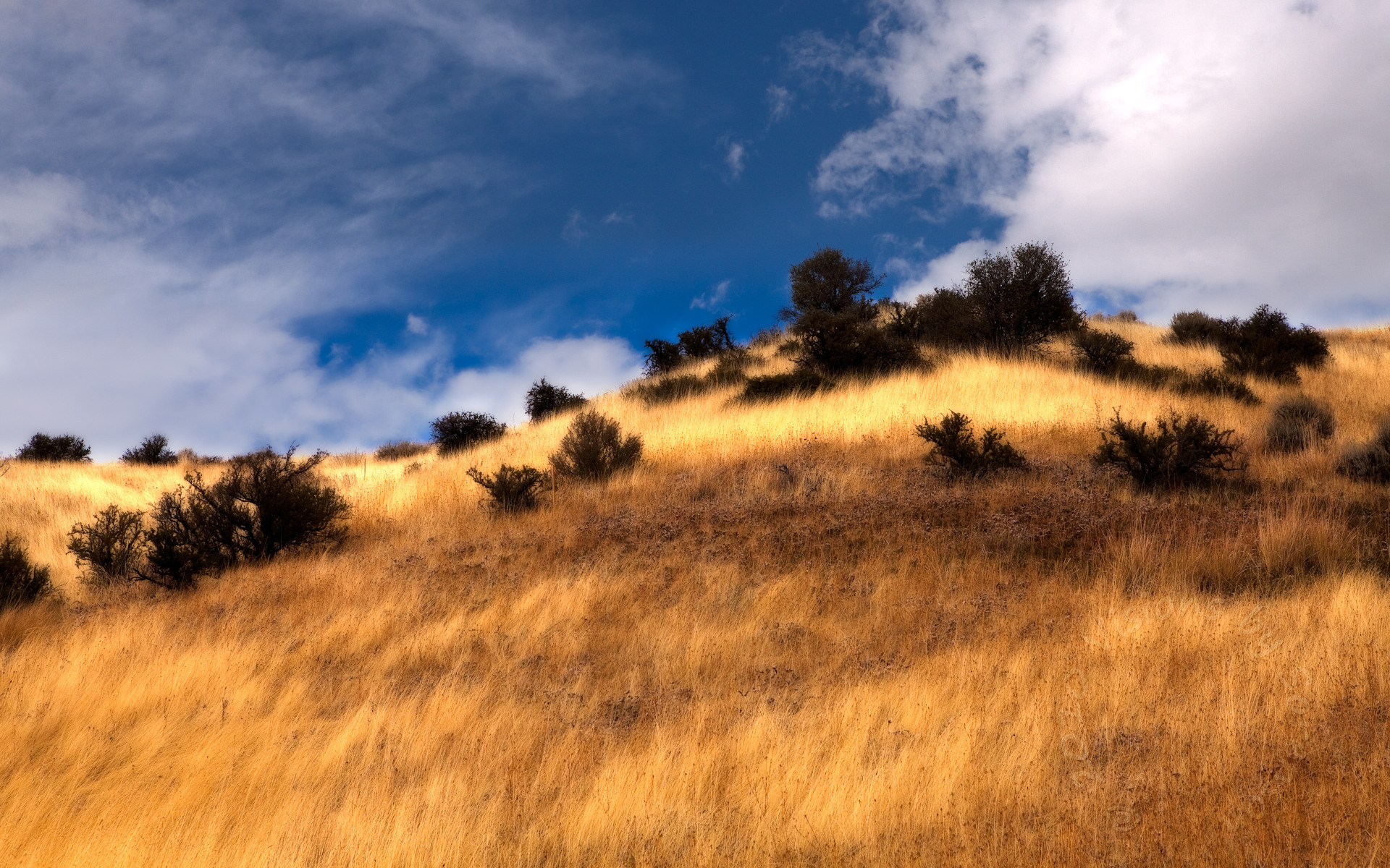
An Ocean of Grass 1
At the Walker Creek trailhead. Caribou-Targhee National Forest. SE Idaho
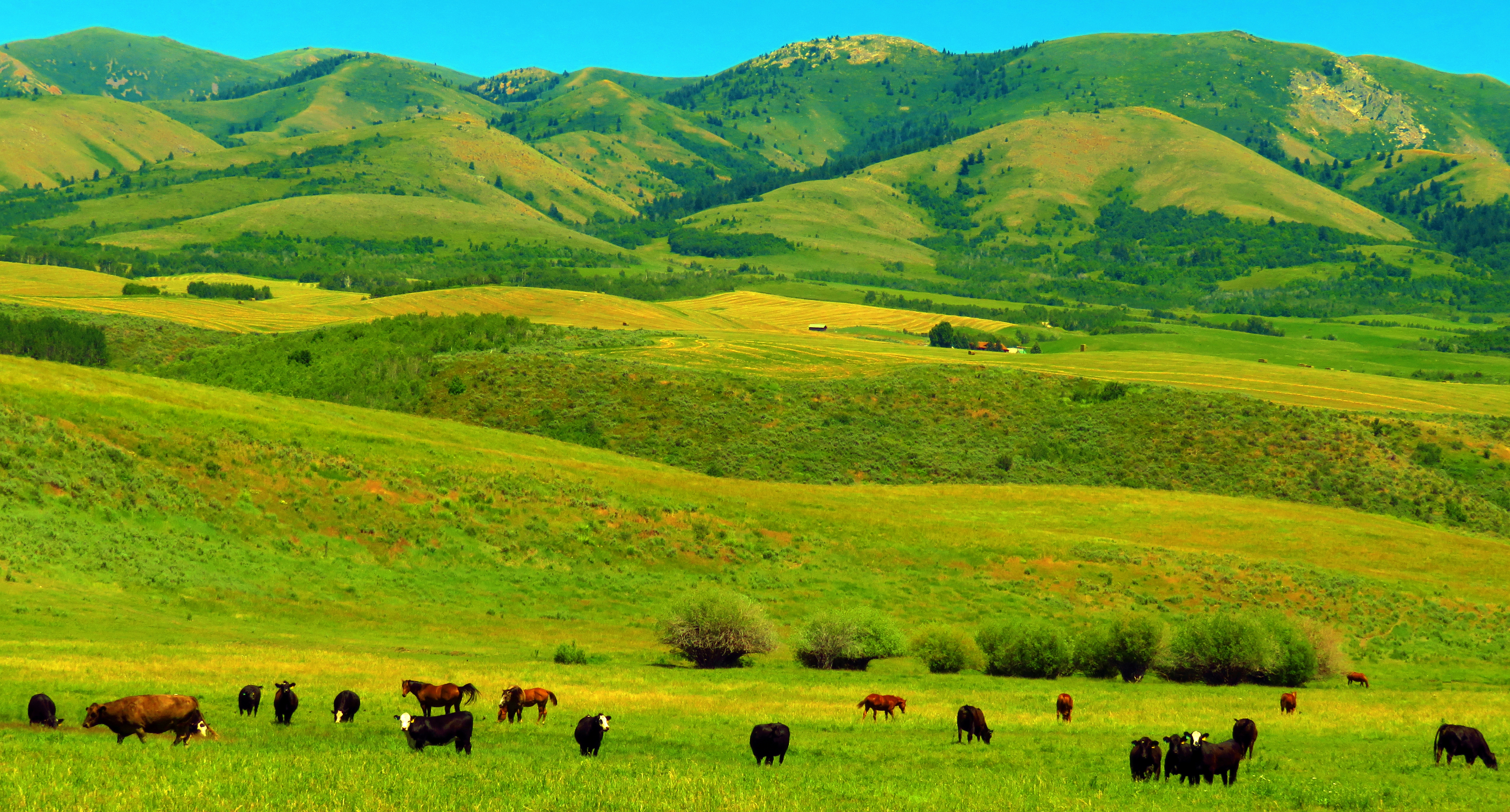
The Rolling Green Hills of Pocatello 1

Portneuf Range - Idaho
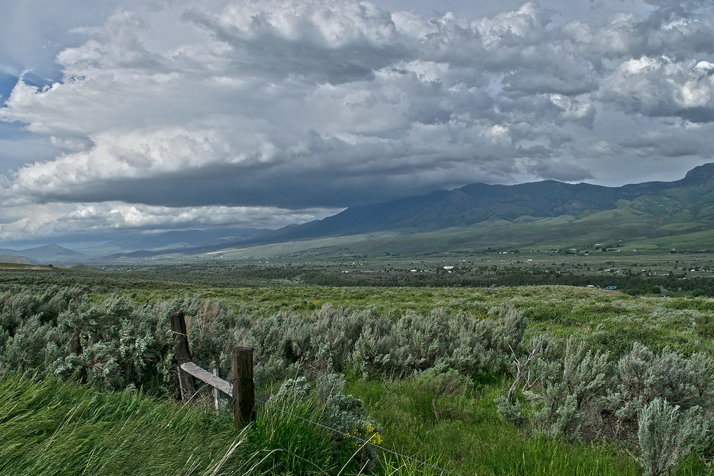
Storm clouds Marsh Valley and Portneuf Mountains

Haystack Mountain - Idaho
Portneuf River flows lazily beneath the Portneuf mountains
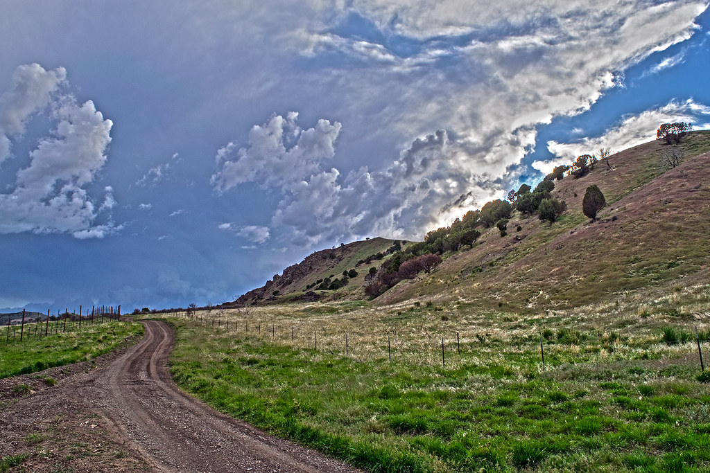
Midas's Hill

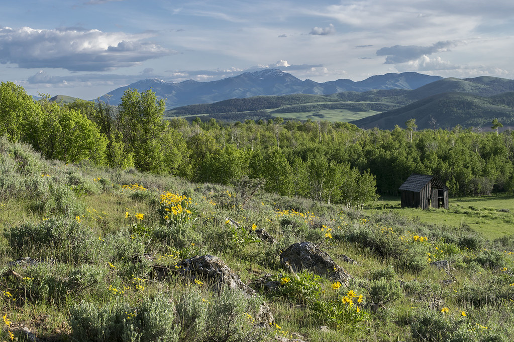
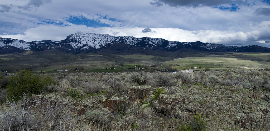
Springtime mountains in southeast Idaho
The Portneuf mountain range from "The Lavas". April 2017

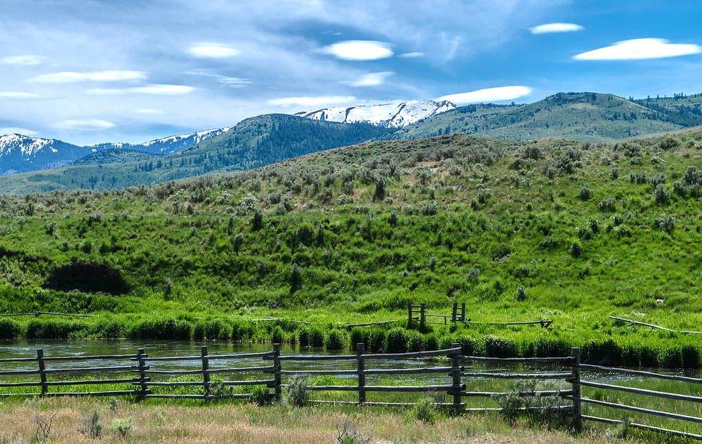
Marsh Creek meanders beneath the Portneuf mountain range
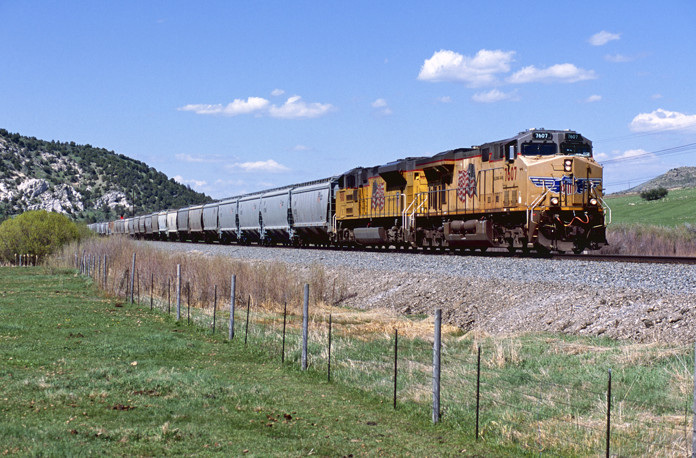
UP 7607 West
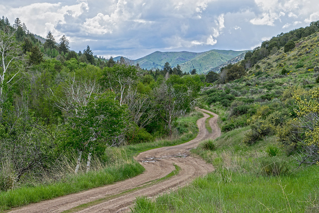
The Walker Creek Road in the Bannock mountains. SE Idaho
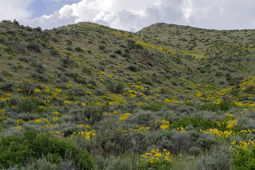
Arrowleaf balsamroot blooms on hillside in Walker Creek canyon. SE Idaho
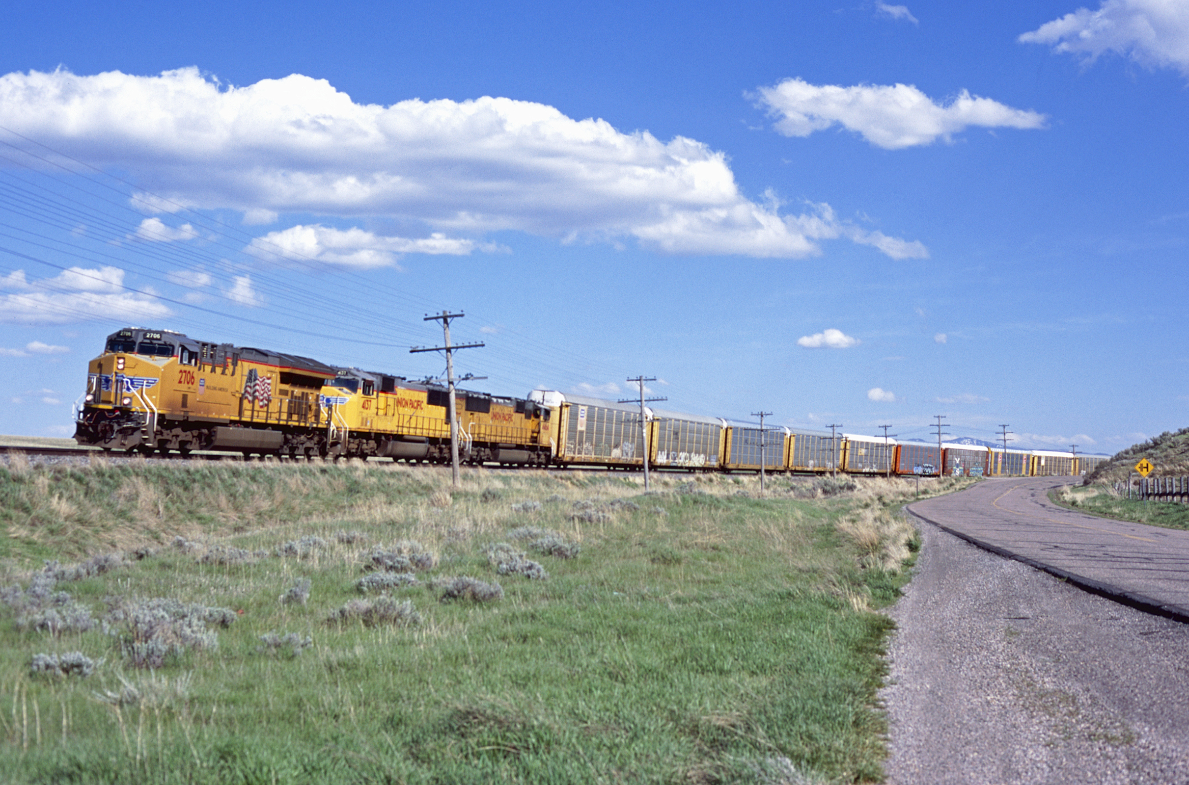
UP 2706 West
Under the cloud at Portneuf Gap. SE Idaho

West Fork Rapid Creek area toward Portneuf Range
Topographic Map of Pebble Creek Ski Area, E Green Canyon Rd, Inkom, ID, USA
Find elevation by address:

Places near Pebble Creek Ski Area, E Green Canyon Rd, Inkom, ID, USA:
262 S Old Hwy 91
S Marsh Creek Rd, McCammon, ID, USA
6727 S Aslett Rd
Mccammon
1507 S Front St
9066 S Robin Rd
Bannock County
5231 W Moonlight Mine Rd
N Fort Hall Mine Rd, Pocatello, ID, USA
7549 W Portneuf Rd
Lava Hot Springs
Pine Drive
Arimo
W Glover Rd, Arimo, ID, USA
11242 S Dempsey Creek Rd
6444 W Barton Rd
Deer Creek
9065 Big Bear Rd
E Smith Canyon Rd, Downey, ID, USA
4620 Johnny Creek Rd
Recent Searches:
- Elevation of Corso Fratelli Cairoli, 35, Macerata MC, Italy
- Elevation of Tallevast Rd, Sarasota, FL, USA
- Elevation of 4th St E, Sonoma, CA, USA
- Elevation of Black Hollow Rd, Pennsdale, PA, USA
- Elevation of Oakland Ave, Williamsport, PA, USA
- Elevation of Pedrógão Grande, Portugal
- Elevation of Klee Dr, Martinsburg, WV, USA
- Elevation of Via Roma, Pieranica CR, Italy
- Elevation of Tavkvetili Mountain, Georgia
- Elevation of Hartfords Bluff Cir, Mt Pleasant, SC, USA