Elevation of Lava Hot Springs, ID, USA
Location: United States > Idaho > Bannock County >
Longitude: -112.01107
Latitude: 42.6193625
Elevation: 1524m / 5000feet
Barometric Pressure: 84KPa
Elevation Map:
Satellite Map:
Related Photos:

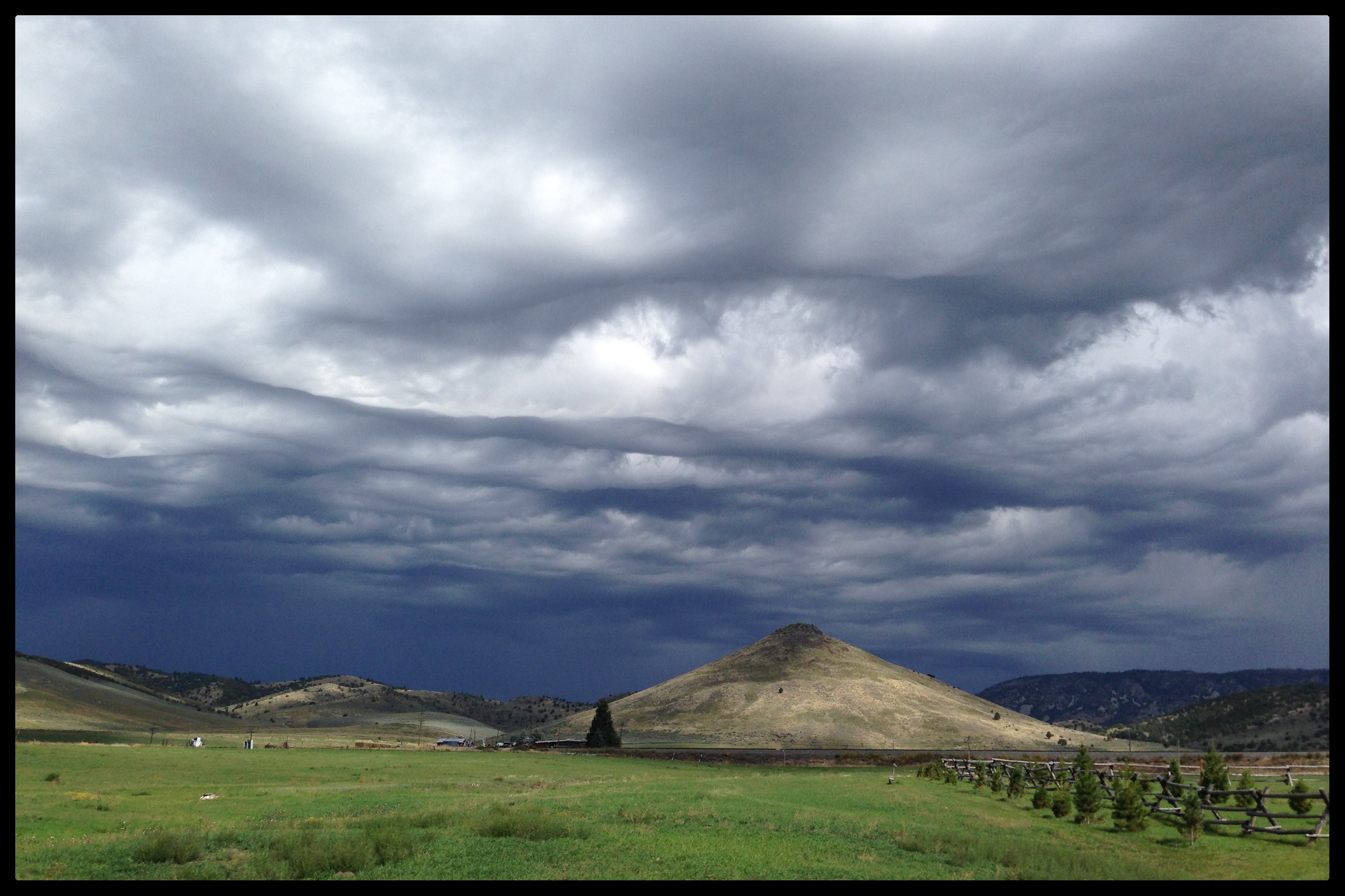
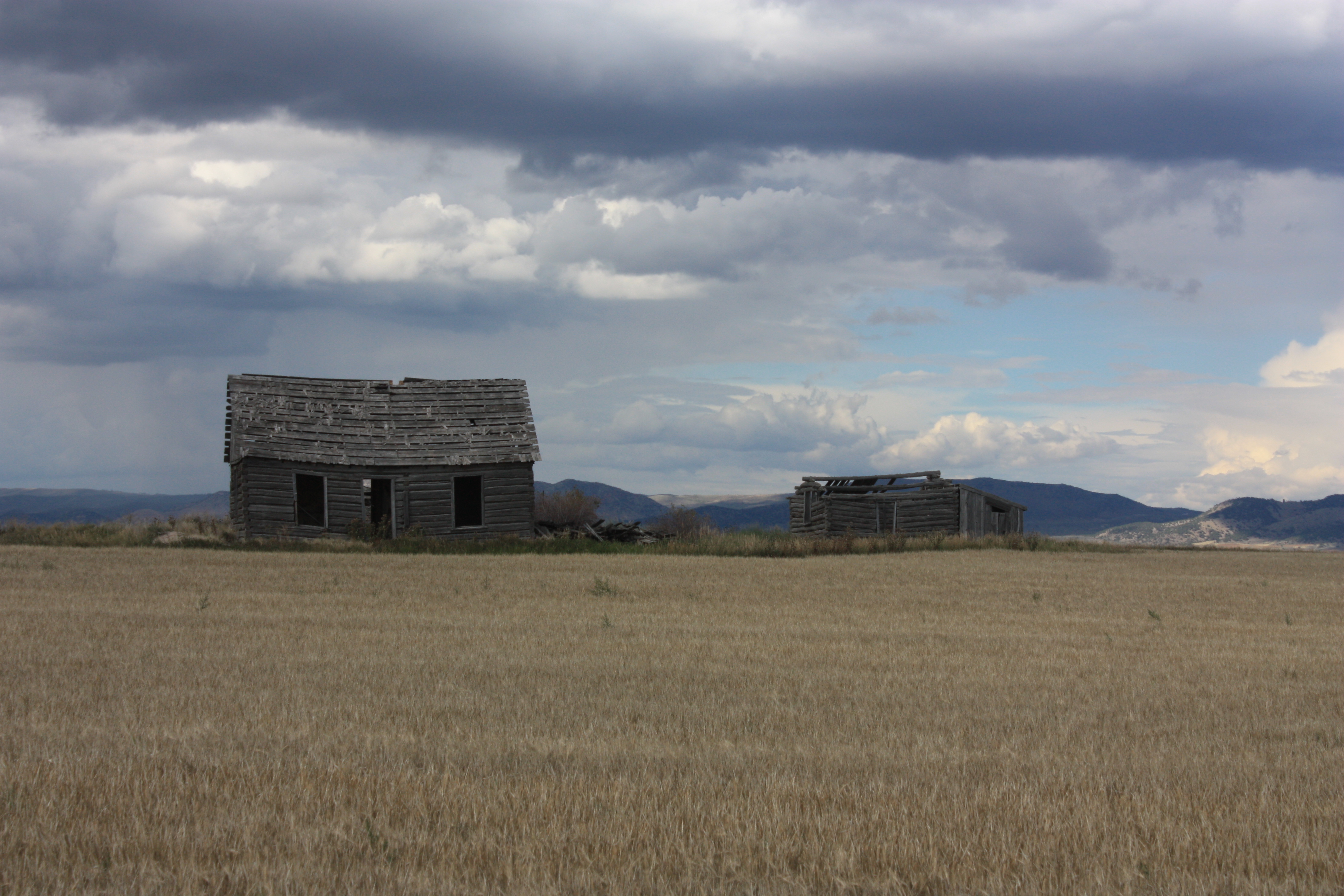
Southeastern Idaho Landscape (Caribou County, Idaho)
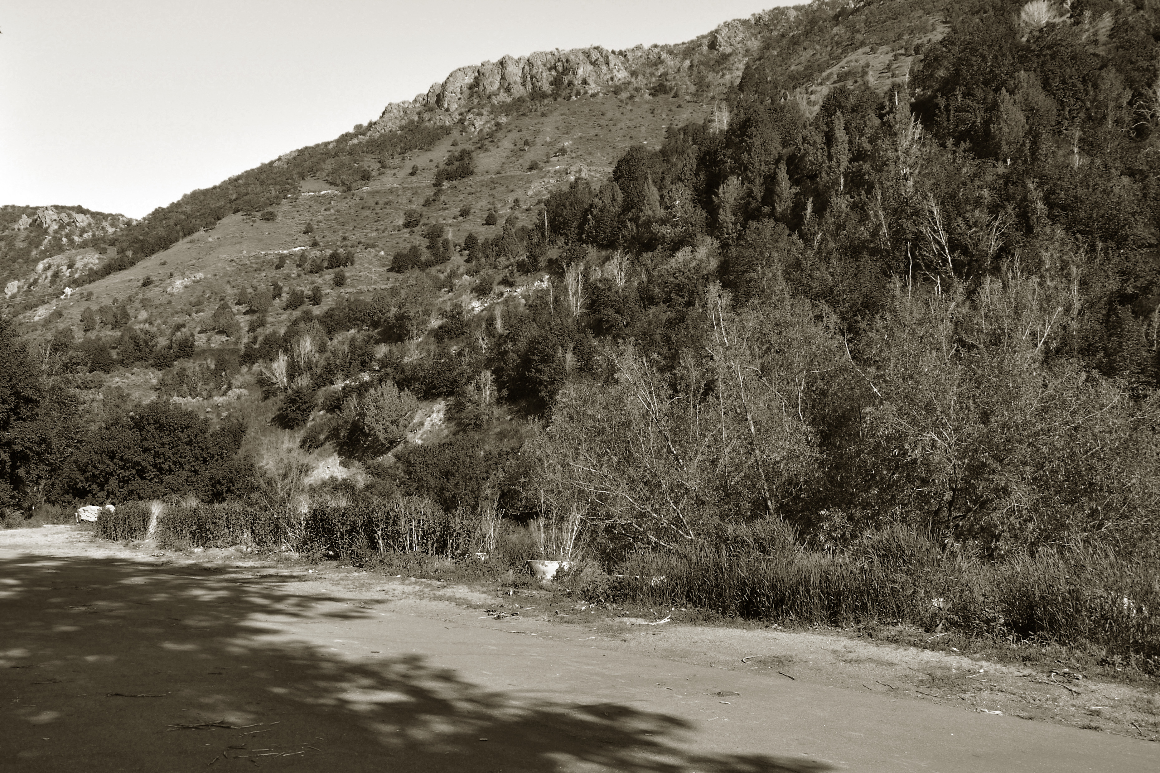
Lava Hot Springs, Idaho

Irrigation in Progress
Press Road

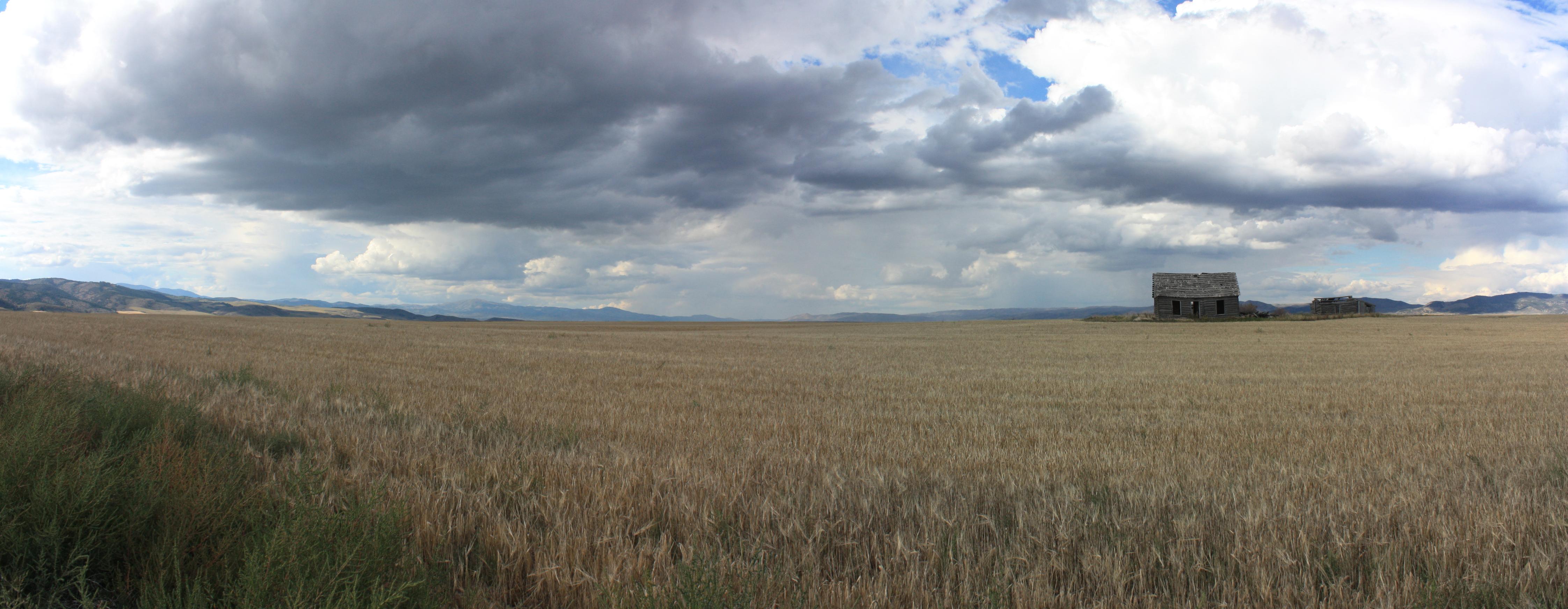
West of Chesterfield panorama
Future (or past) UFO abduction setting...
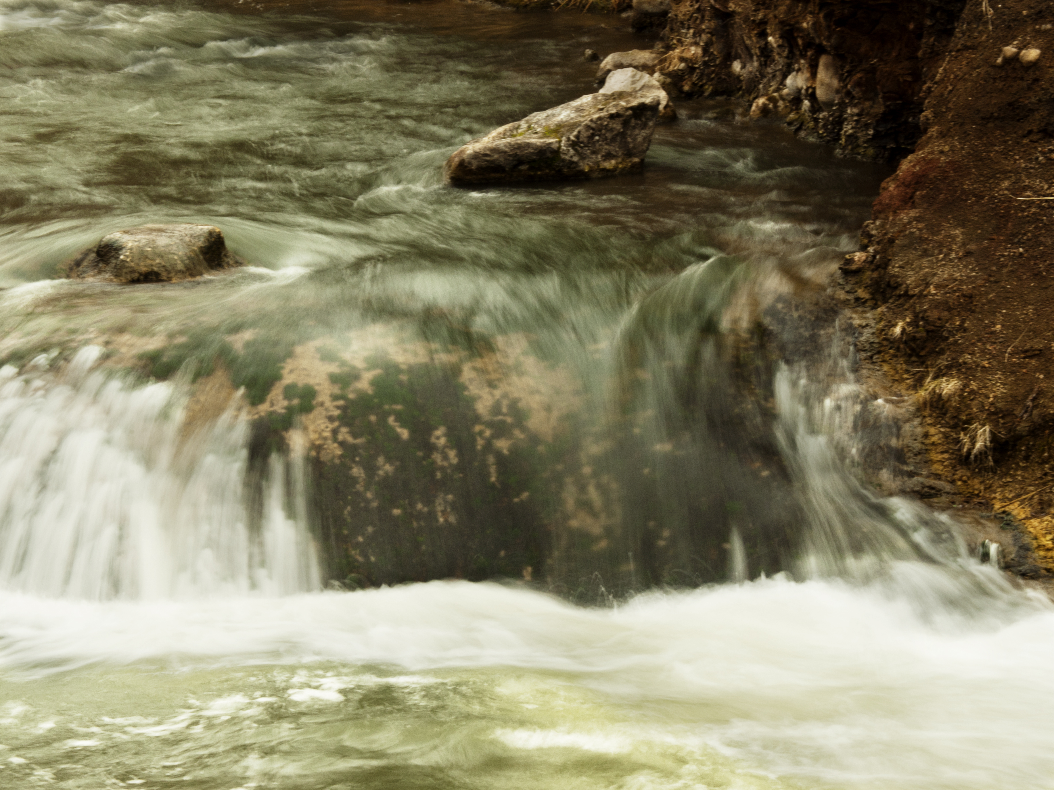
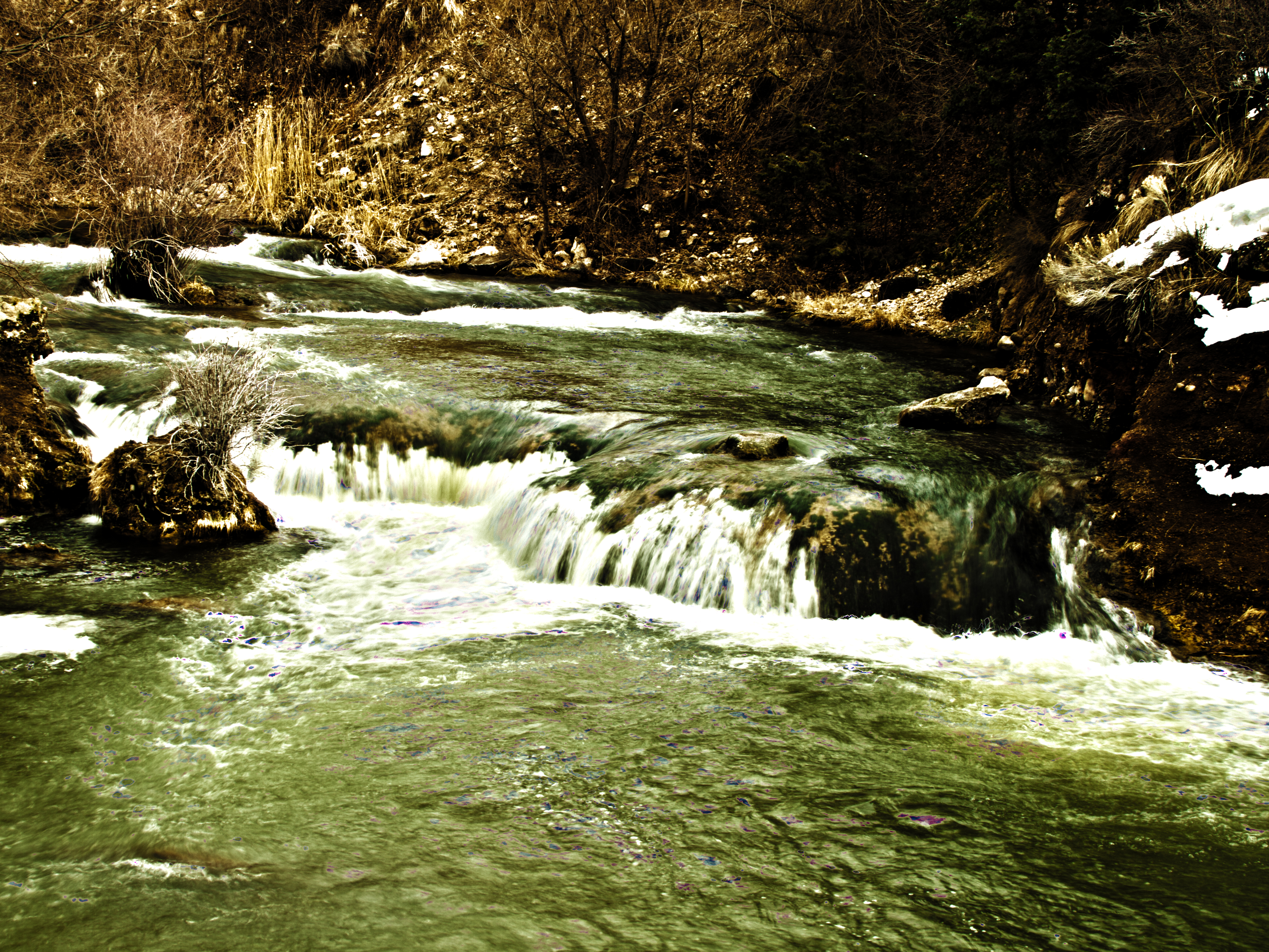
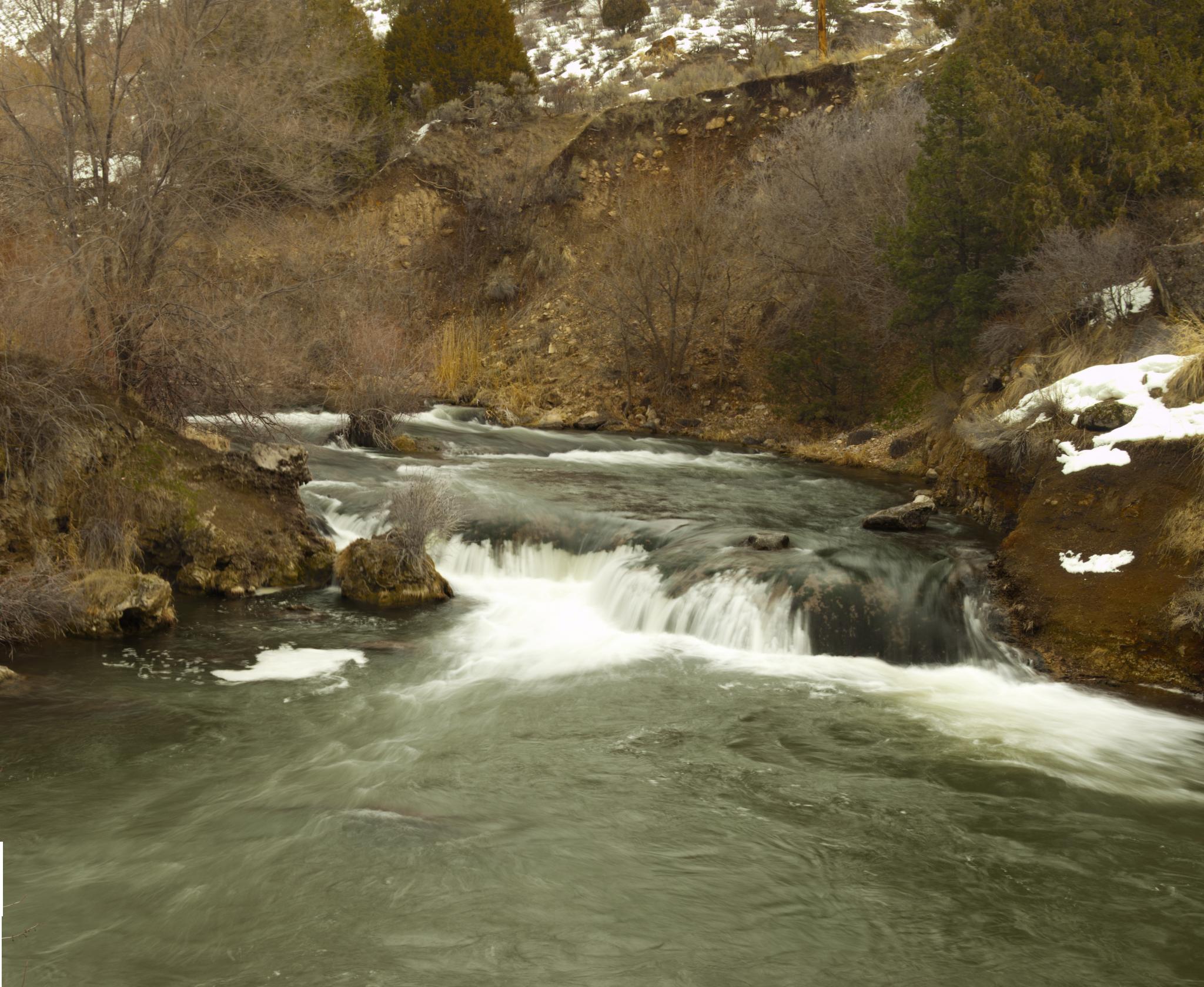
Water... Falls

Irrigation in Progress

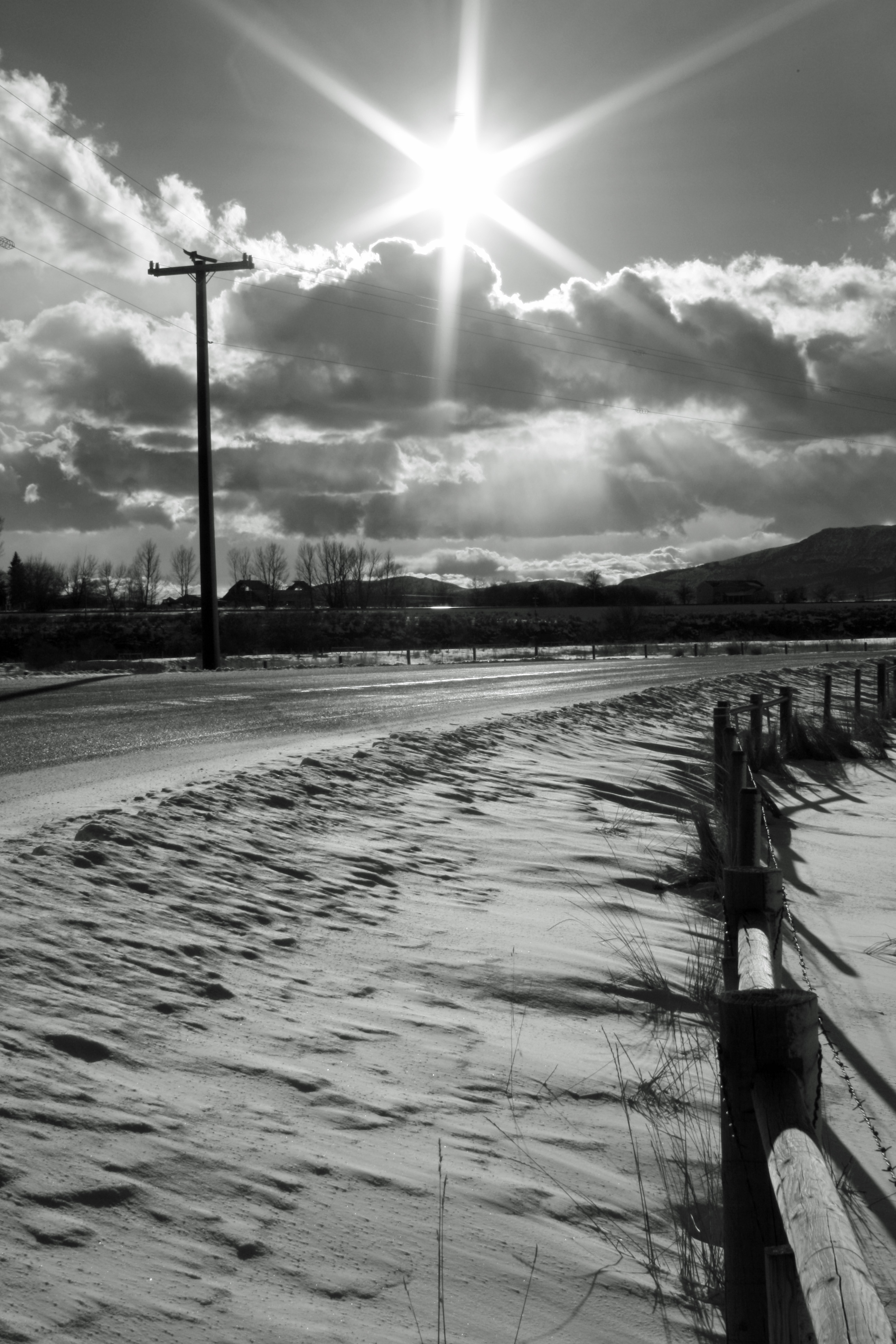
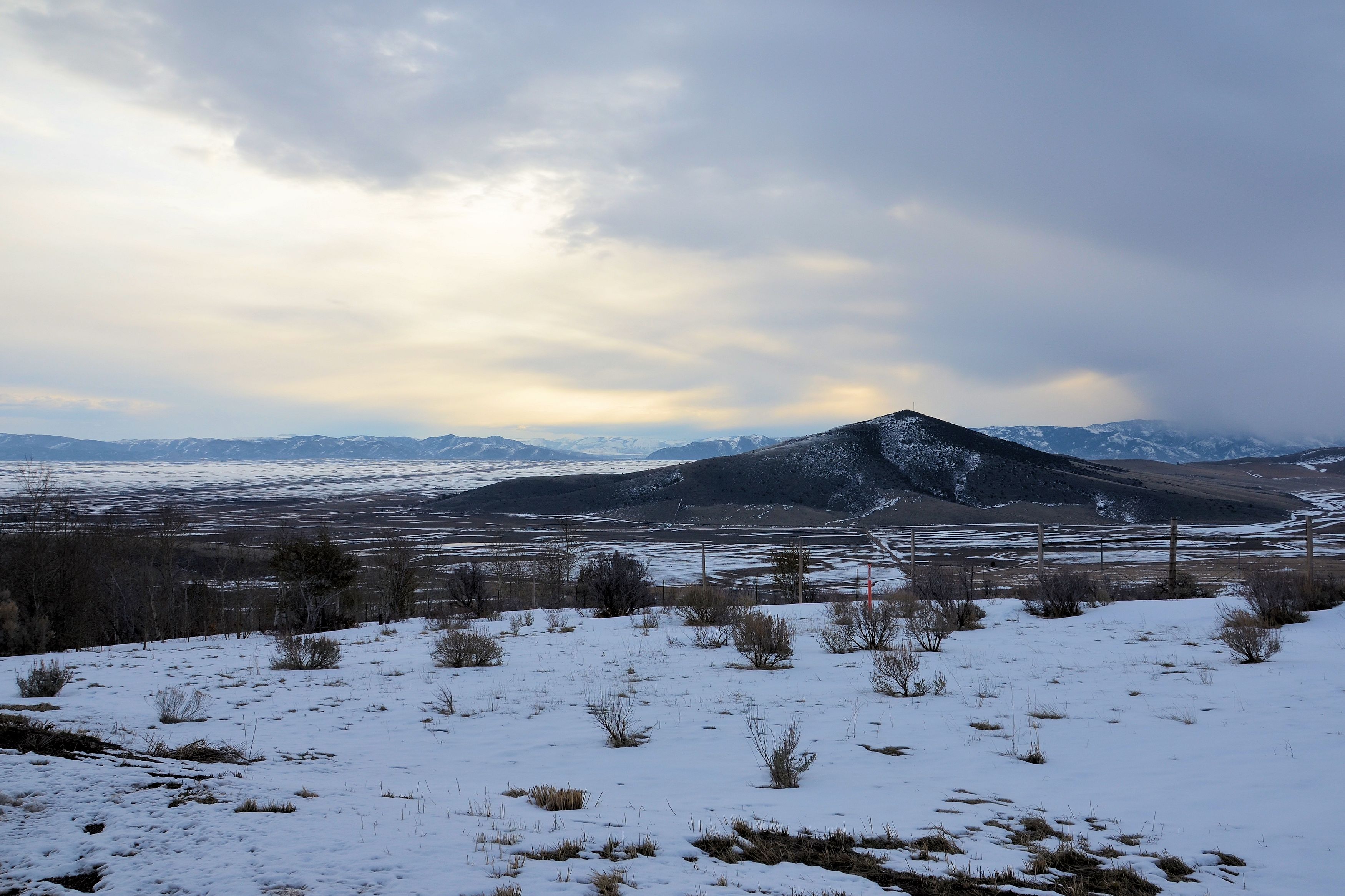
Idaho Mountains
west of Soda Springs ID
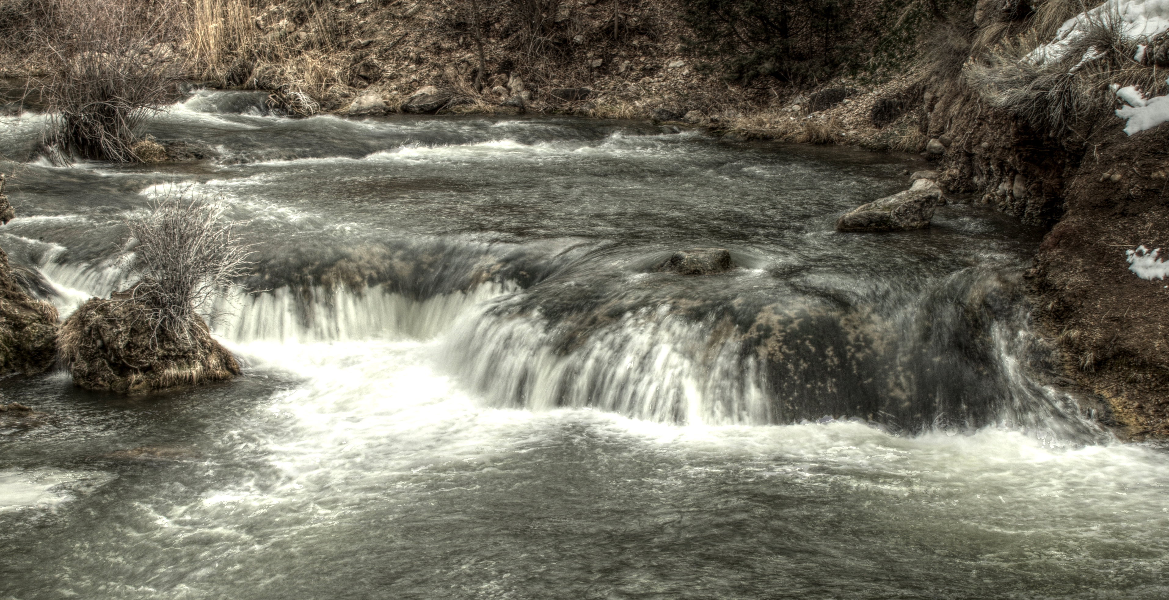
Portnuef HDR 3
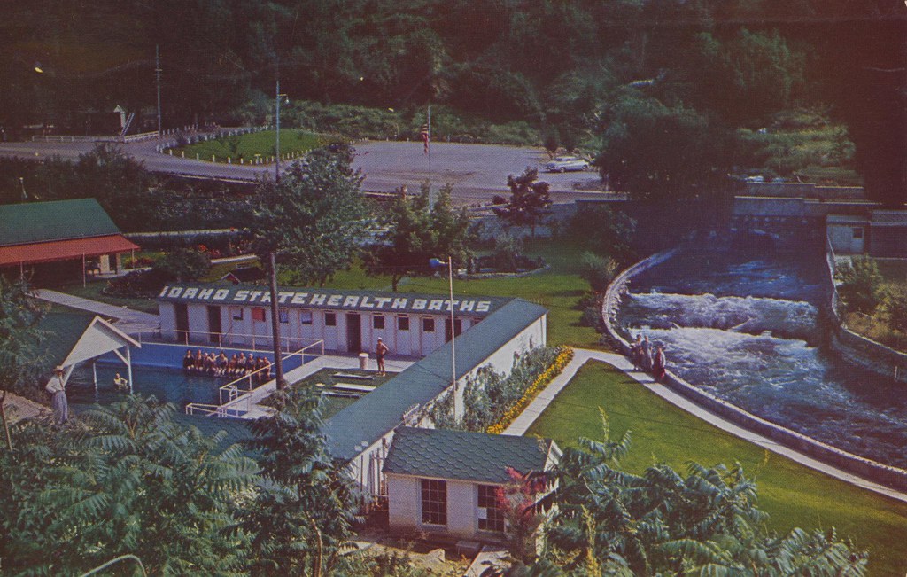
Lava Hot Springs Foundation - Lava Hot Springs, Idaho
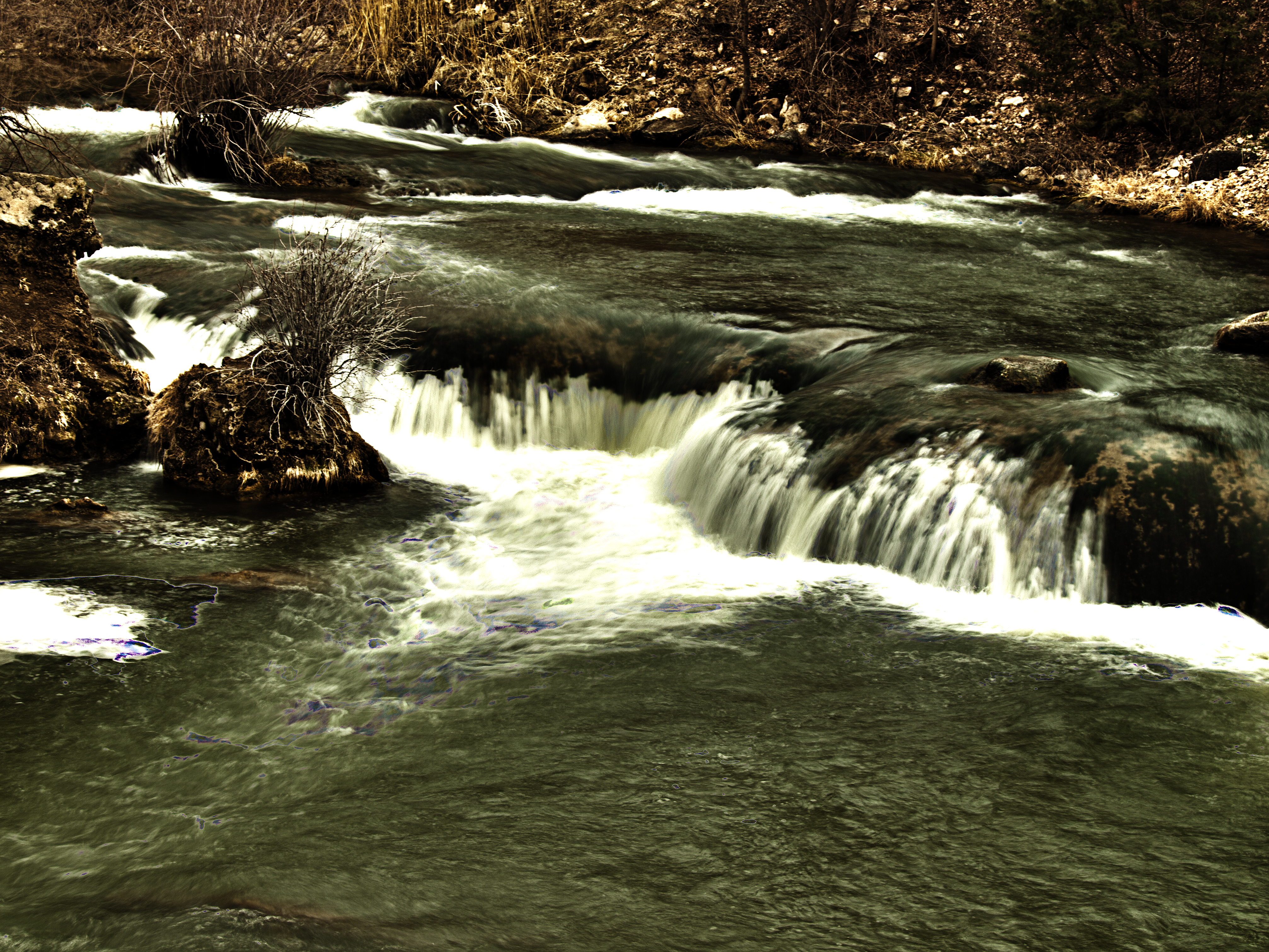
Portnuef Cascades CLOSER HDR
west of Soda Springs ID panorama

Boise 043
Portnuef Cascades In Lava Hot Springs HDR
2010-07-13 08.27.49

032613-129F
032613-130F
Nine Exposure Poertnuef Cascade

L on Mountain
Topographic Map of Lava Hot Springs, ID, USA
Find elevation by address:

Places in Lava Hot Springs, ID, USA:
Places near Lava Hot Springs, ID, USA:
11242 S Dempsey Creek Rd
Deer Creek
Pine Drive
9065 Big Bear Rd
Huggins Circle
Bannock County
224 S 1st E
Bancroft
Arimo
E Smith Canyon Rd, Downey, ID, USA
1507 S Front St
Mccammon
S Washington Ave, Downey, ID, USA
9066 S Robin Rd
U.s. 91
6727 S Aslett Rd
Pebble Creek Ski Area
Downey
W Glover Rd, Arimo, ID, USA
S Marsh Creek Rd, McCammon, ID, USA
Recent Searches:
- Elevation of Corso Fratelli Cairoli, 35, Macerata MC, Italy
- Elevation of Tallevast Rd, Sarasota, FL, USA
- Elevation of 4th St E, Sonoma, CA, USA
- Elevation of Black Hollow Rd, Pennsdale, PA, USA
- Elevation of Oakland Ave, Williamsport, PA, USA
- Elevation of Pedrógão Grande, Portugal
- Elevation of Klee Dr, Martinsburg, WV, USA
- Elevation of Via Roma, Pieranica CR, Italy
- Elevation of Tavkvetili Mountain, Georgia
- Elevation of Hartfords Bluff Cir, Mt Pleasant, SC, USA