Elevation of W S, Trenton, UT, USA
Location: United States > Utah > Cache County > Trenton >
Longitude: -111.95064
Latitude: 41.9032434
Elevation: 1366m / 4482feet
Barometric Pressure: 86KPa
Elevation Map:
Satellite Map:
Related Photos:
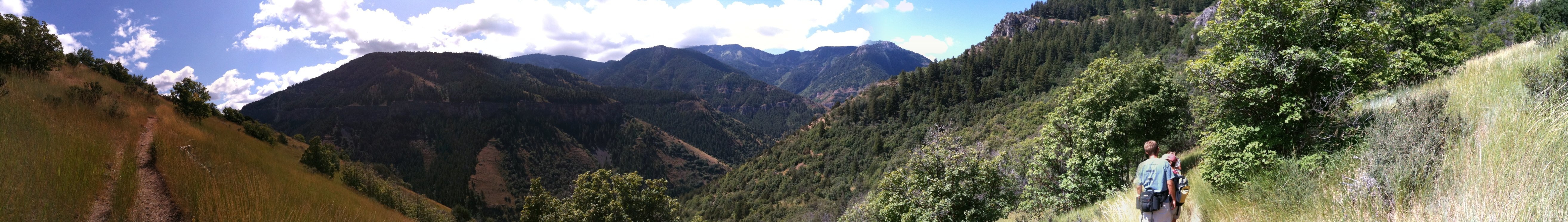
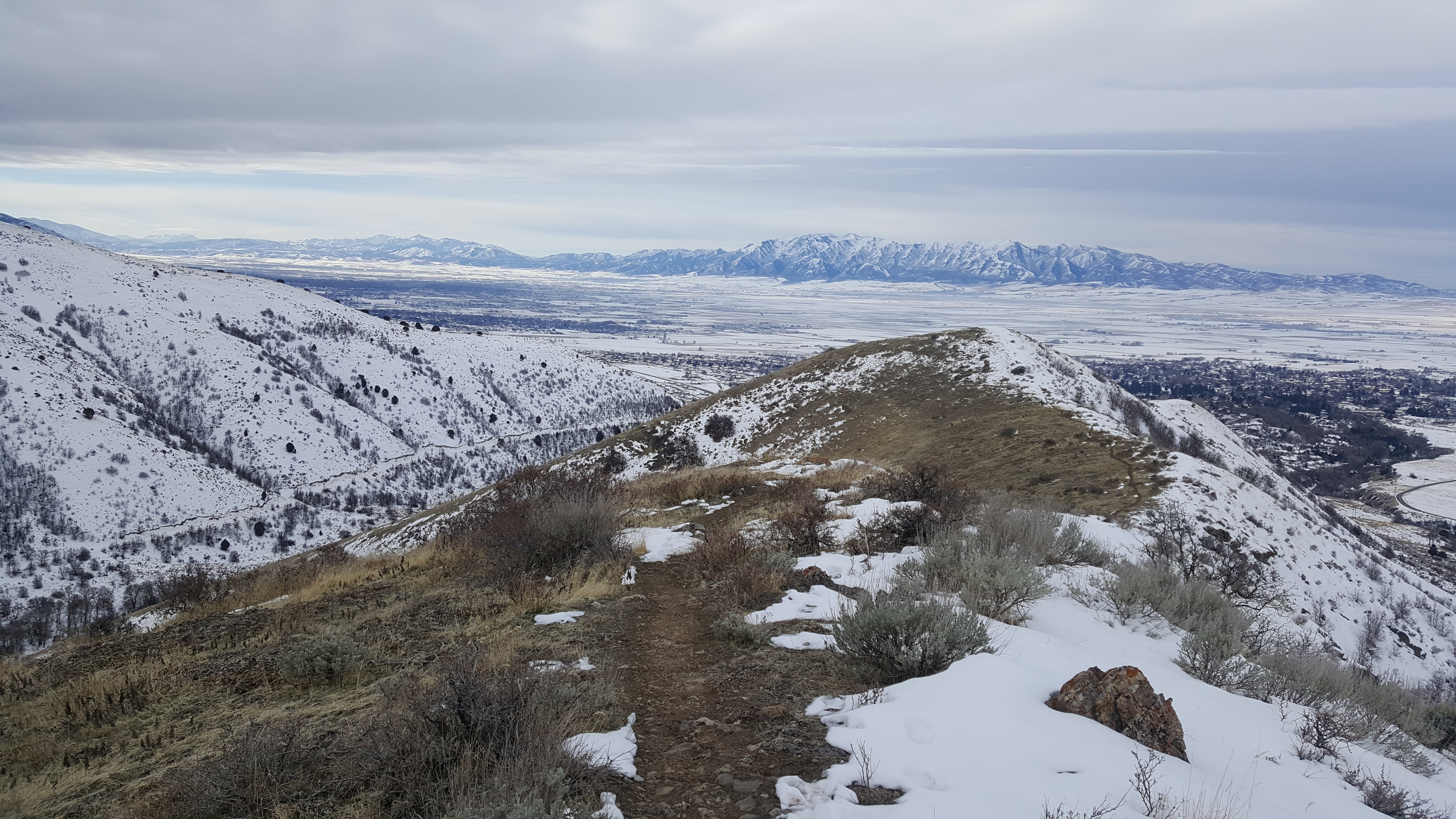
Panoramic view from the hike up Wind Cave Trail in Logan
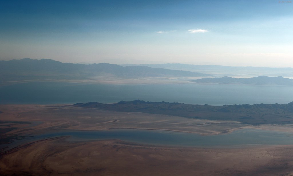
Salt Lake Pastels

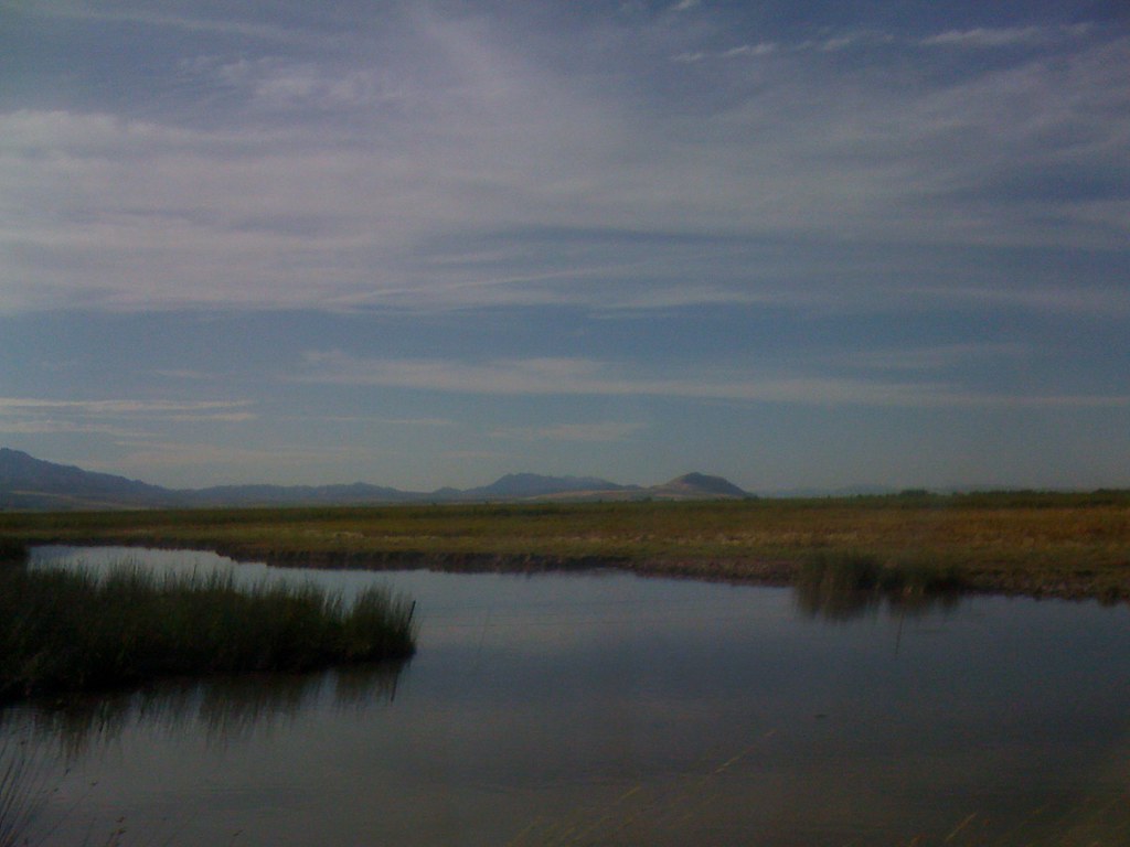
Newton Creek, Utah
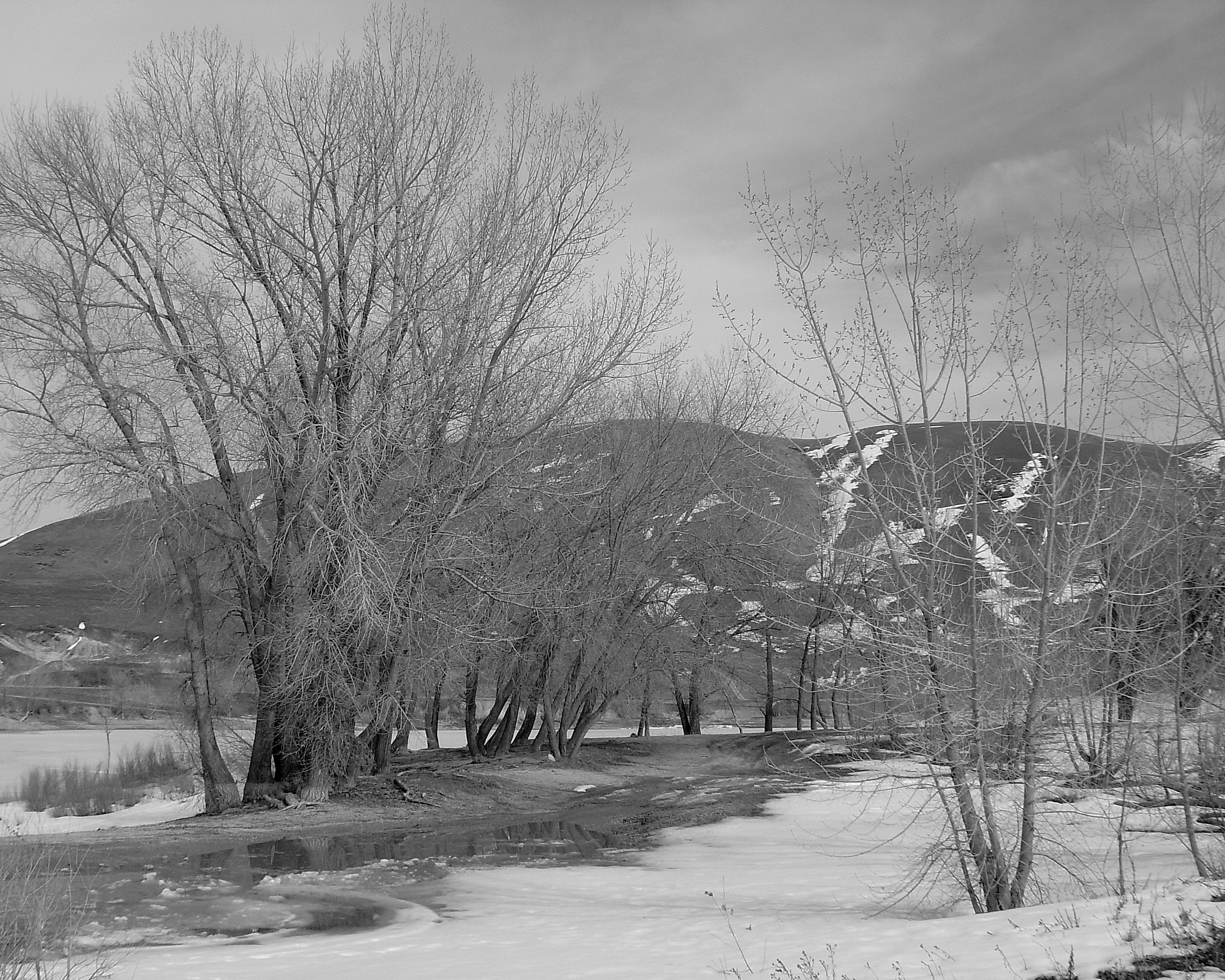
Newton Reservoir. Box Elder County, Utah
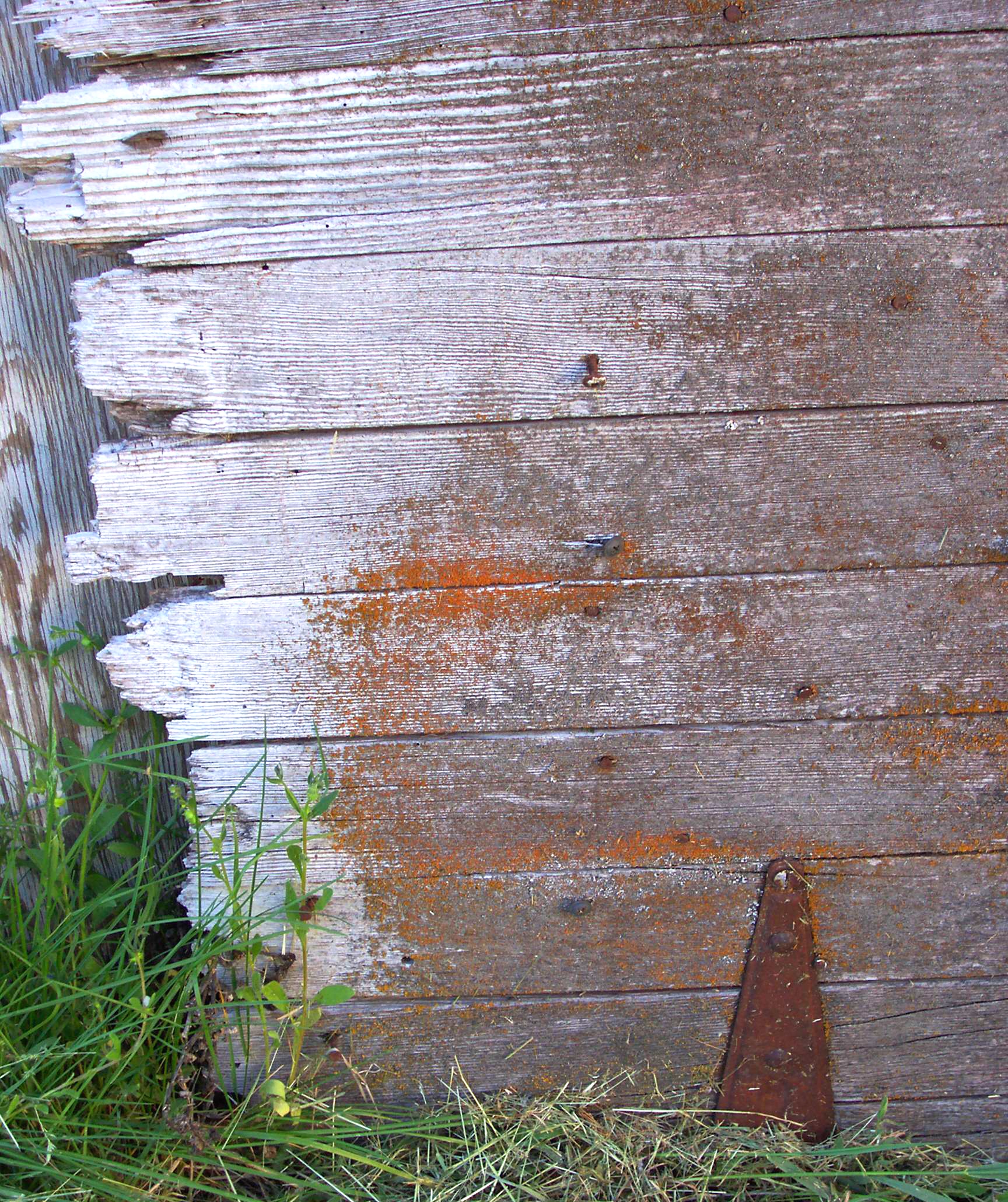
Fence Detail I (Jagged Edge)
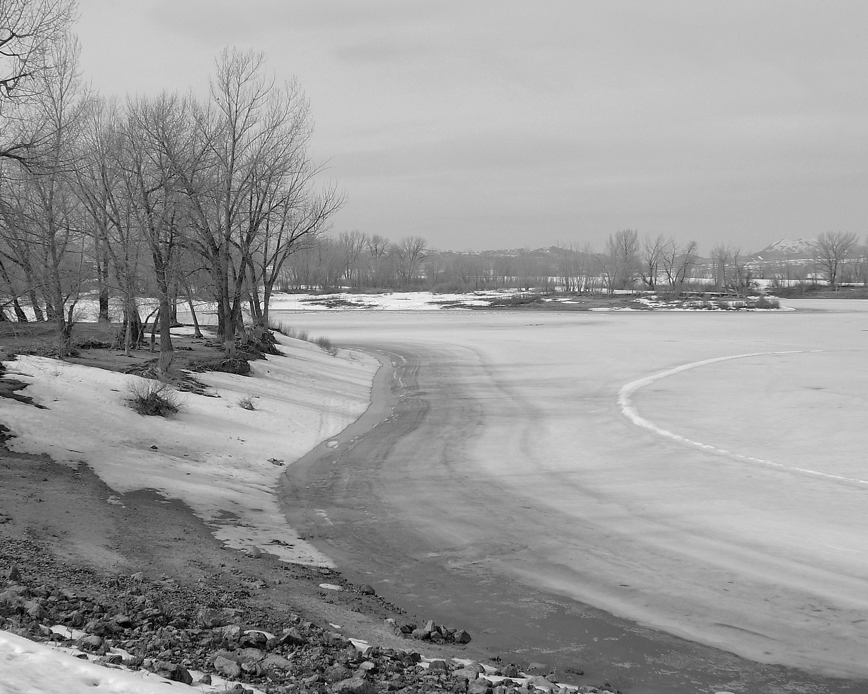
Newton Reservoir. Box Elder County, Utah

Common Redpoll #57
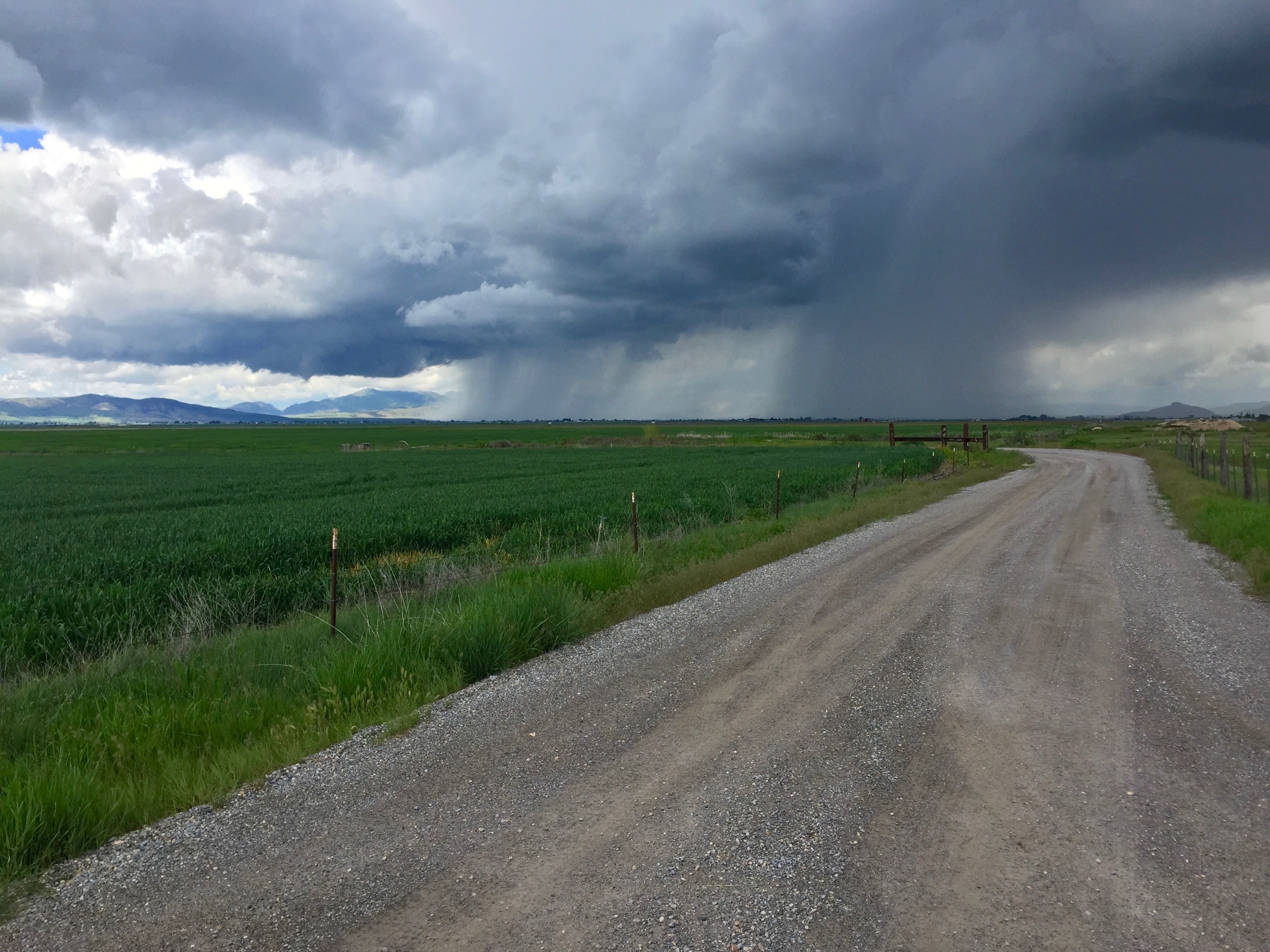
It Is Coming

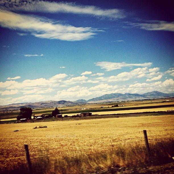
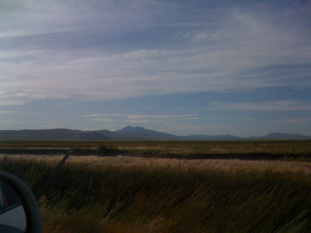
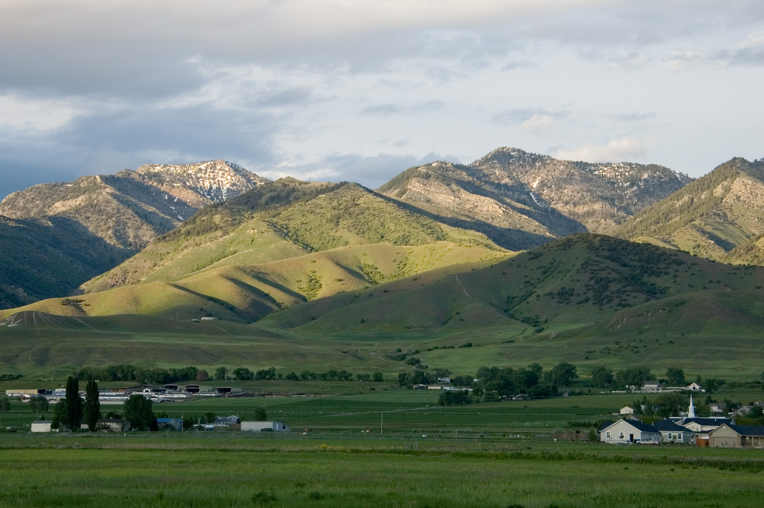
Cache Valley in spring

Cache Valley
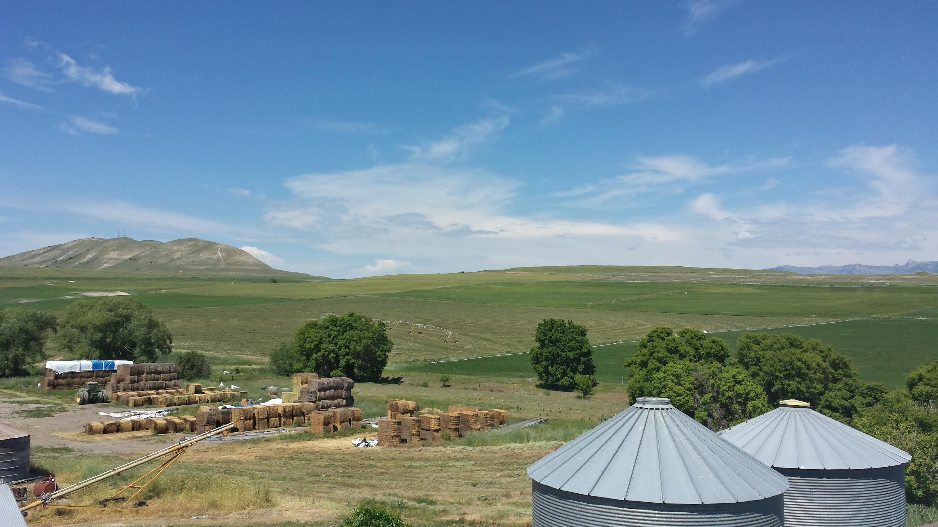
I live in a pretty place.
IMG_1794.JPG
IMG_1793.JPG
No Snow January

Doe, a deer
Wellsville Mountains Logan, Utah
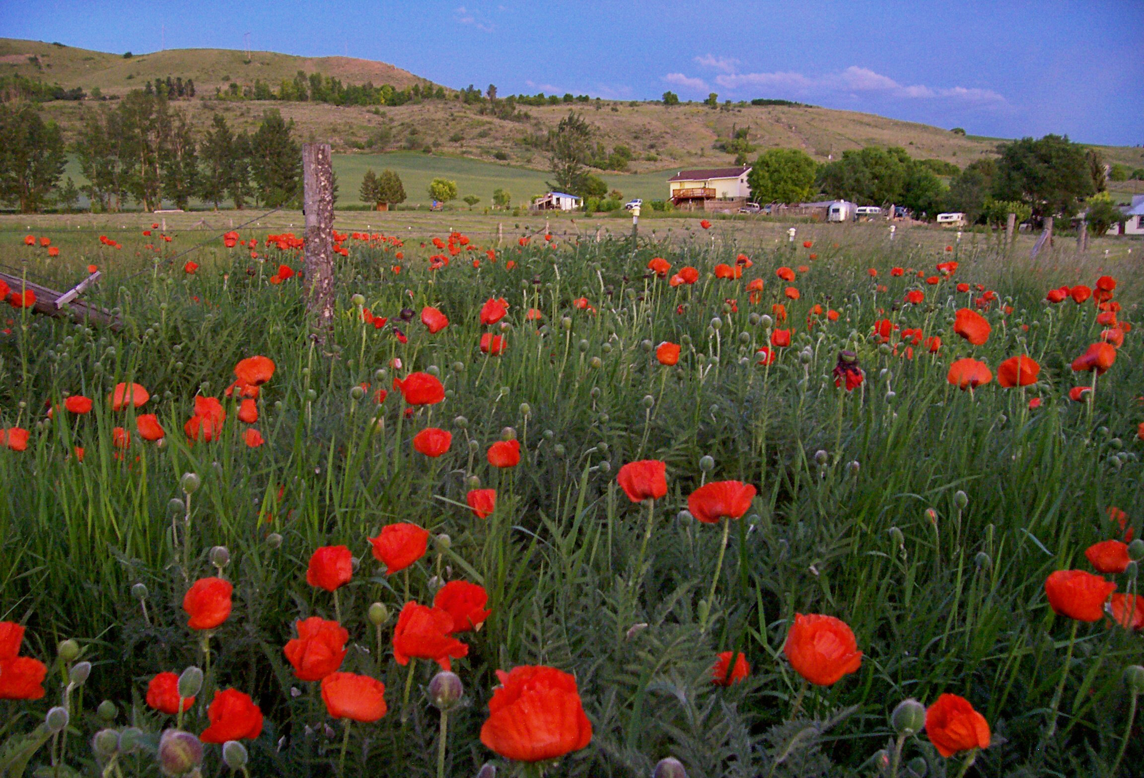
Poppy Field

20110629 Cache Valley Landscape

Cache Valley
Horizon in Clarkston, Utah
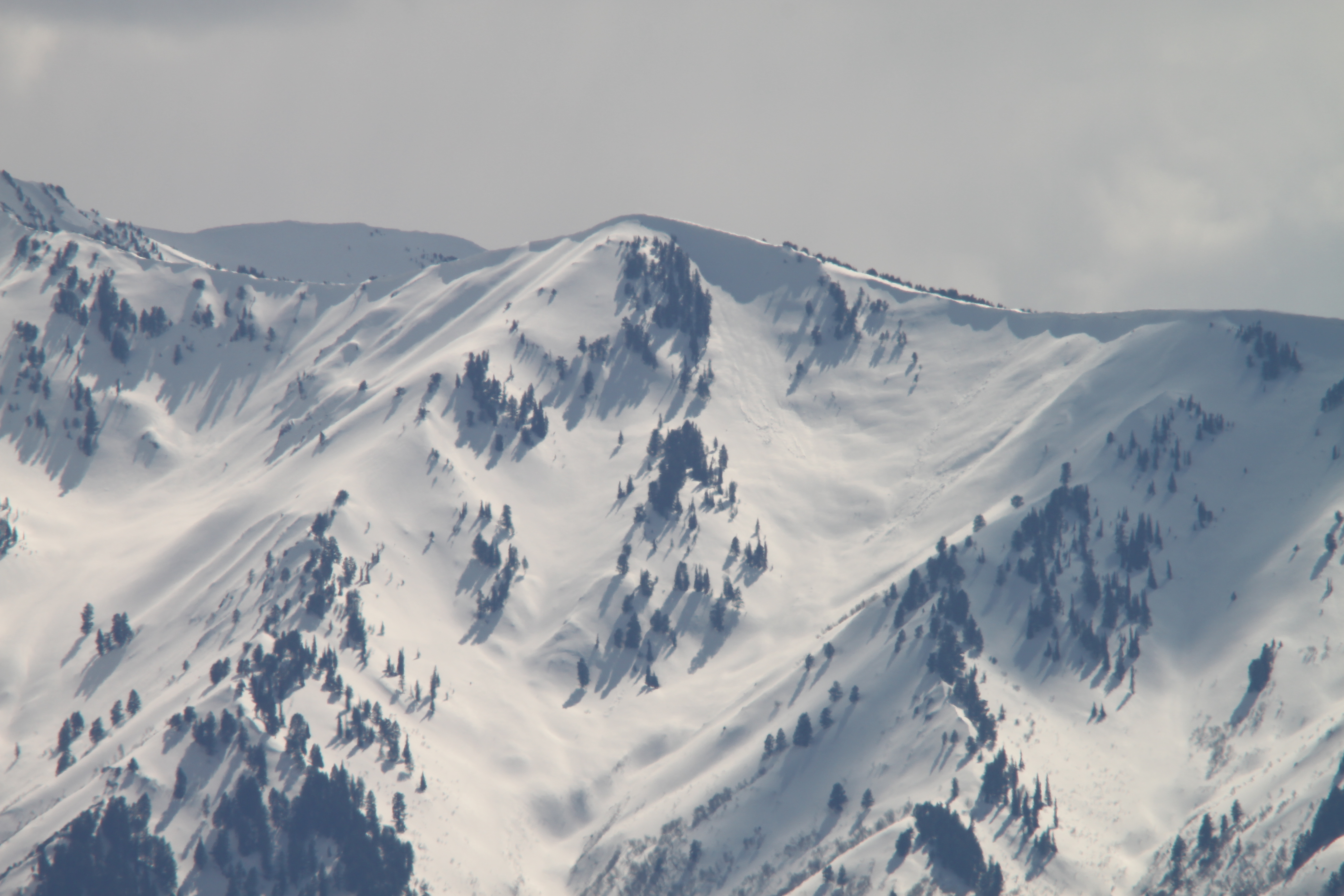
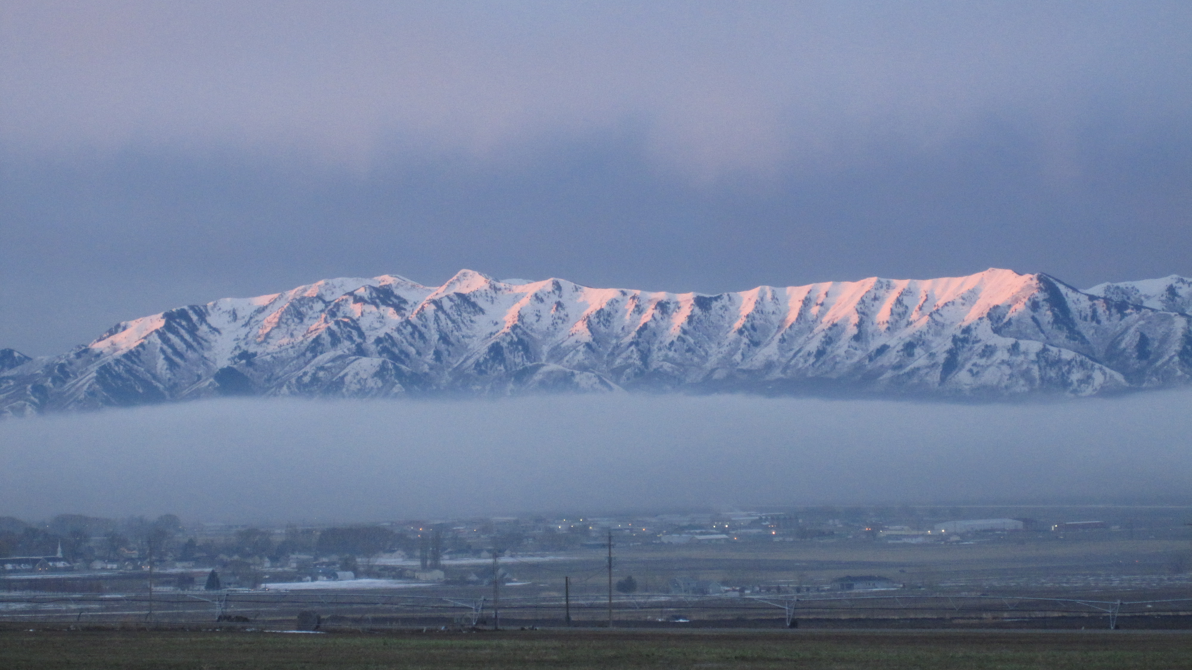
Wellsville Mountains from Smithfield, UT- snow cornice
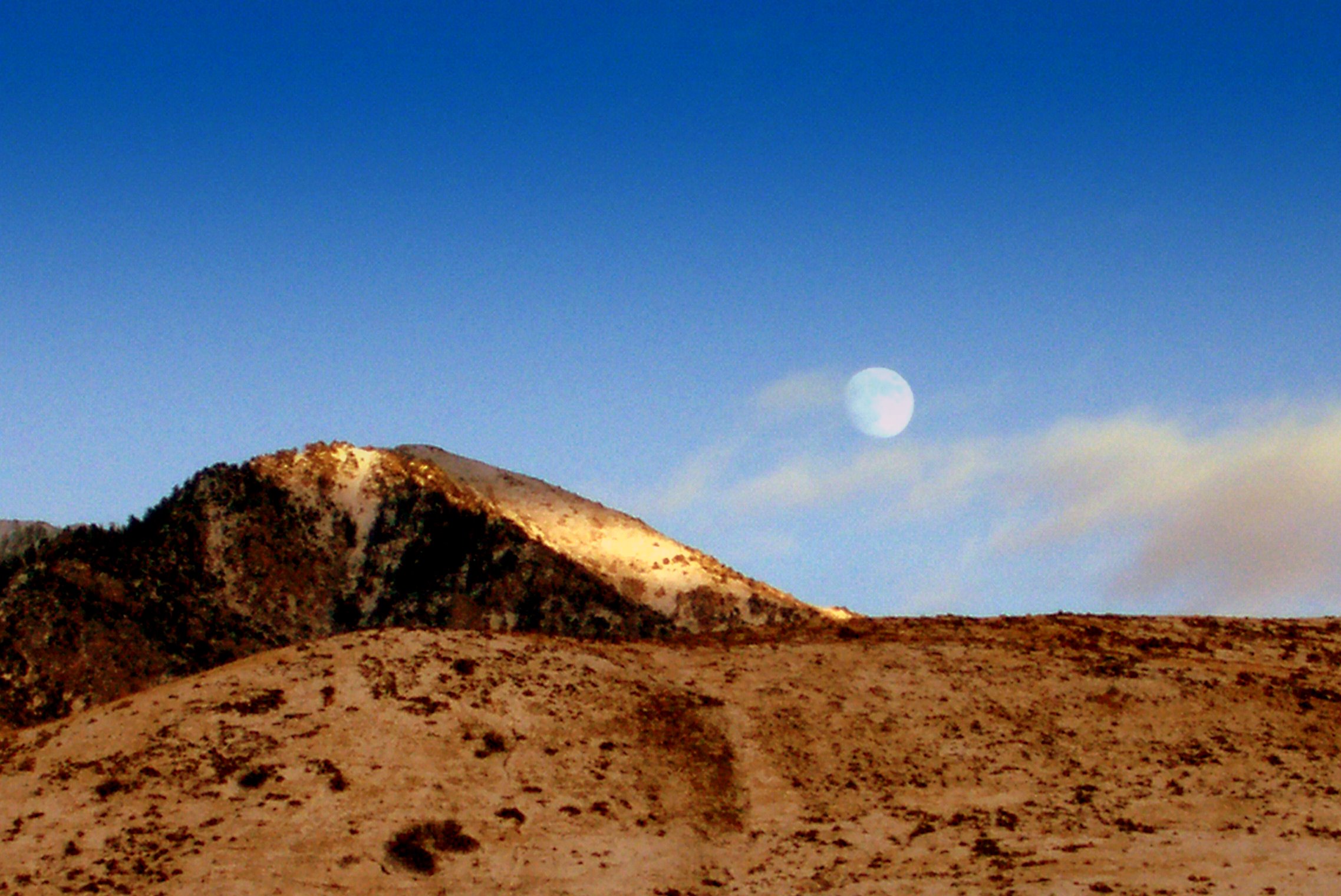
Moonrise Over Naomi Peak

Our Town

Cutler at sunset
Spring Evening
20150610_154508_Richtone(HDR)
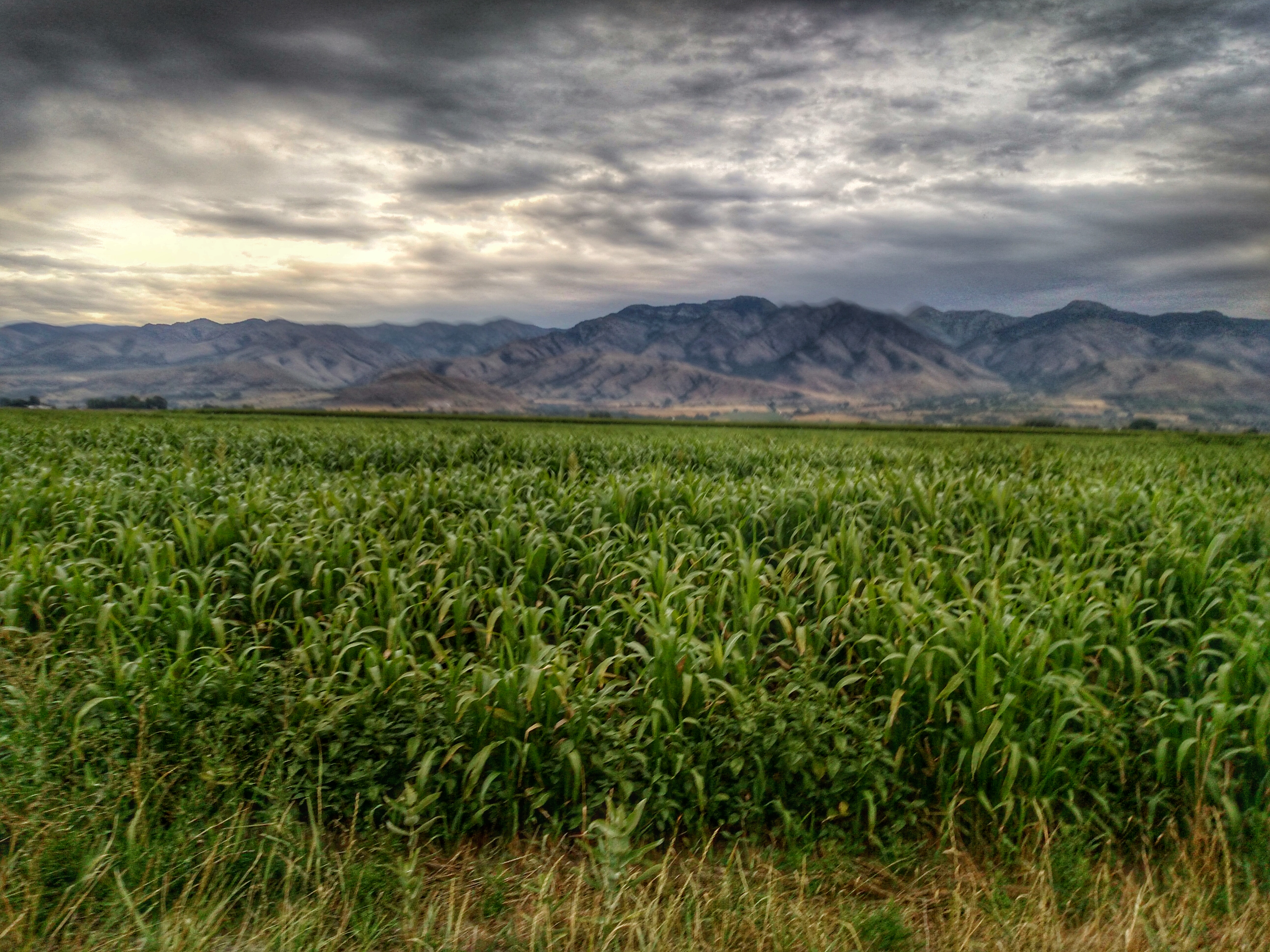
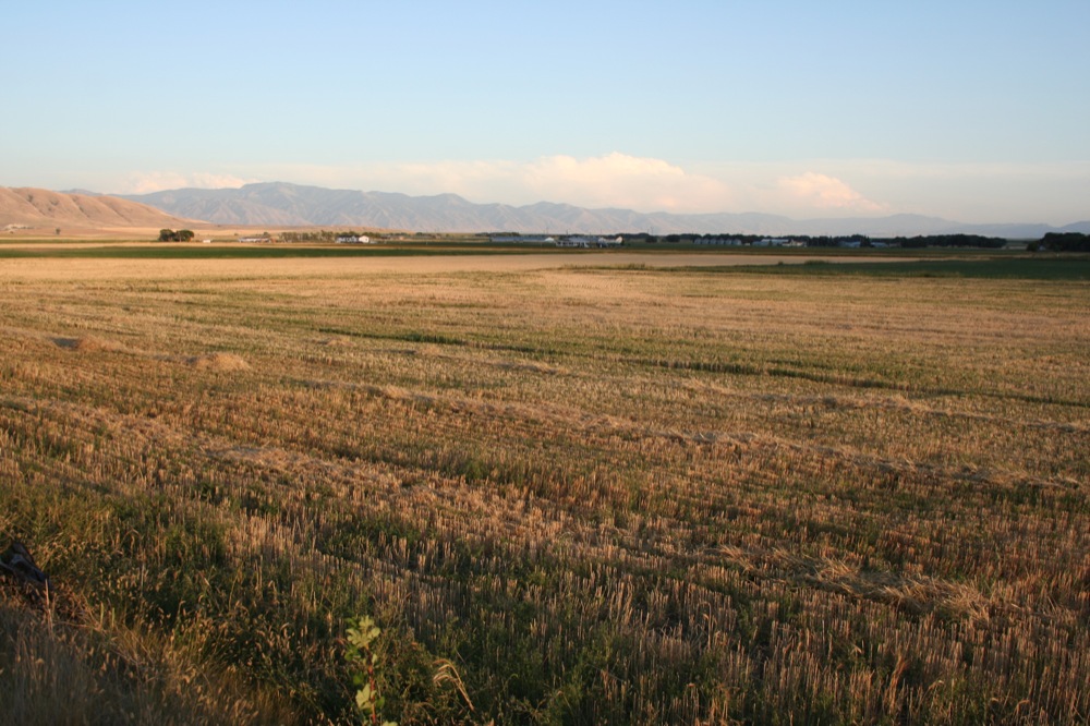
Corn fields
Topographic Map of W S, Trenton, UT, USA
Find elevation by address:

Places near W S, Trenton, UT, USA:
20 State Rte, Trenton, UT, USA
Trenton
Trenton
91 N E, Smithfield, UT, USA
Newton
N W, Cache, UT, USA
25 E Center St, Clarkston, UT, USA
Clarkston
8480 N 2400 W
9258 W 9950 N
W N, Mendon, UT, USA
129 N 100 W
43 Fairview-Franklin Rd, Preston, ID, USA
99 N Main St, Smithfield, UT, USA
Smithfield
15320 N 400 W
27 N Center St, Weston, ID, USA
Peter
House Of Pop
325 S 300 E
Recent Searches:
- Elevation of Corso Fratelli Cairoli, 35, Macerata MC, Italy
- Elevation of Tallevast Rd, Sarasota, FL, USA
- Elevation of 4th St E, Sonoma, CA, USA
- Elevation of Black Hollow Rd, Pennsdale, PA, USA
- Elevation of Oakland Ave, Williamsport, PA, USA
- Elevation of Pedrógão Grande, Portugal
- Elevation of Klee Dr, Martinsburg, WV, USA
- Elevation of Via Roma, Pieranica CR, Italy
- Elevation of Tavkvetili Mountain, Georgia
- Elevation of Hartfords Bluff Cir, Mt Pleasant, SC, USA