Elevation of Clarkston, UT, USA
Location: United States > Utah > Cache County >
Longitude: -112.04995
Latitude: 41.9202033
Elevation: 1485m / 4872feet
Barometric Pressure: 85KPa
Elevation Map:
Satellite Map:
Related Photos:

Rocky mountains, USA, CrossView
A view from the top of the mountain.
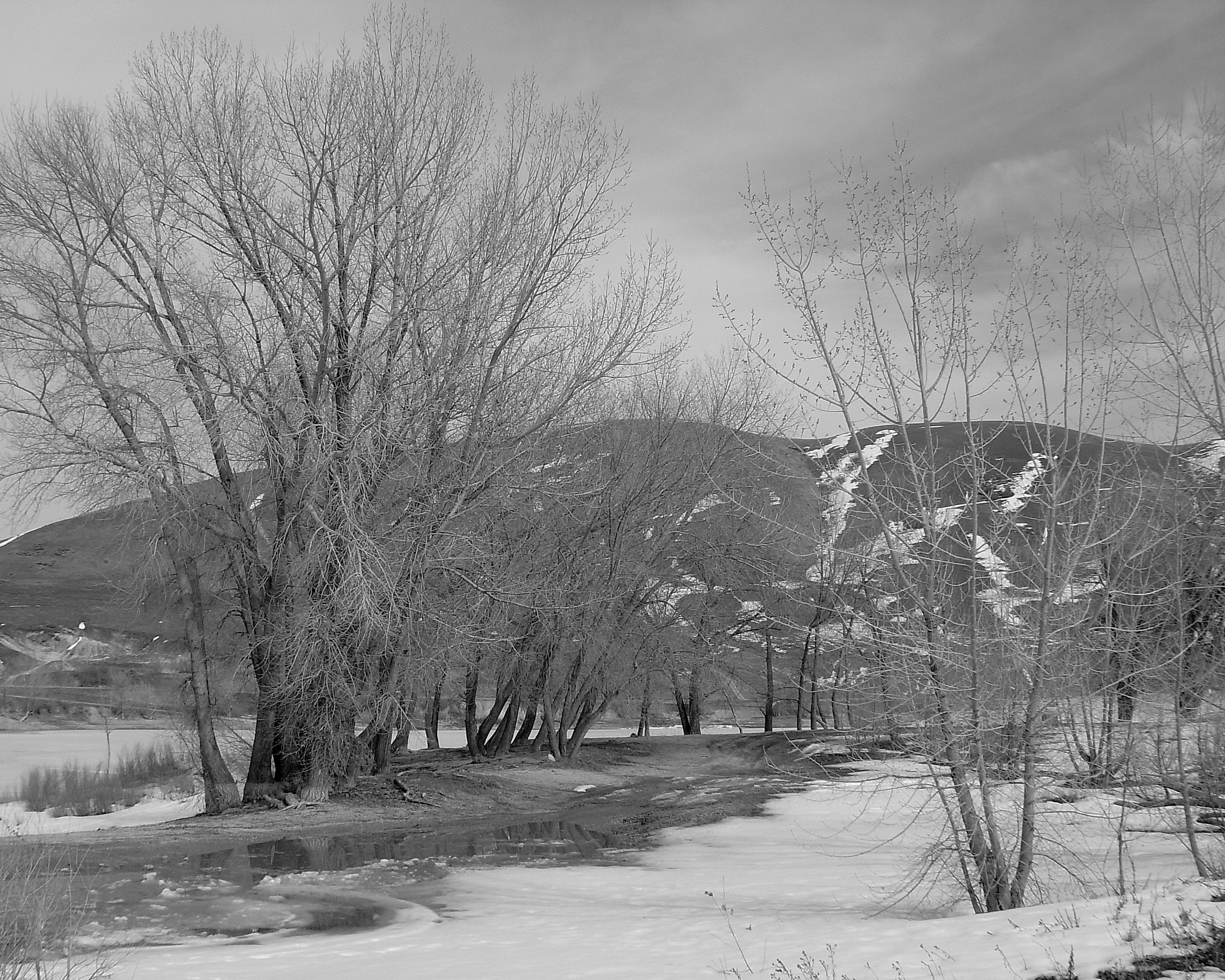
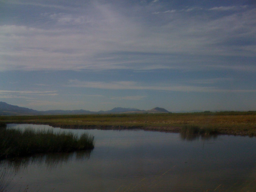
Newton Reservoir. Box Elder County, Utah
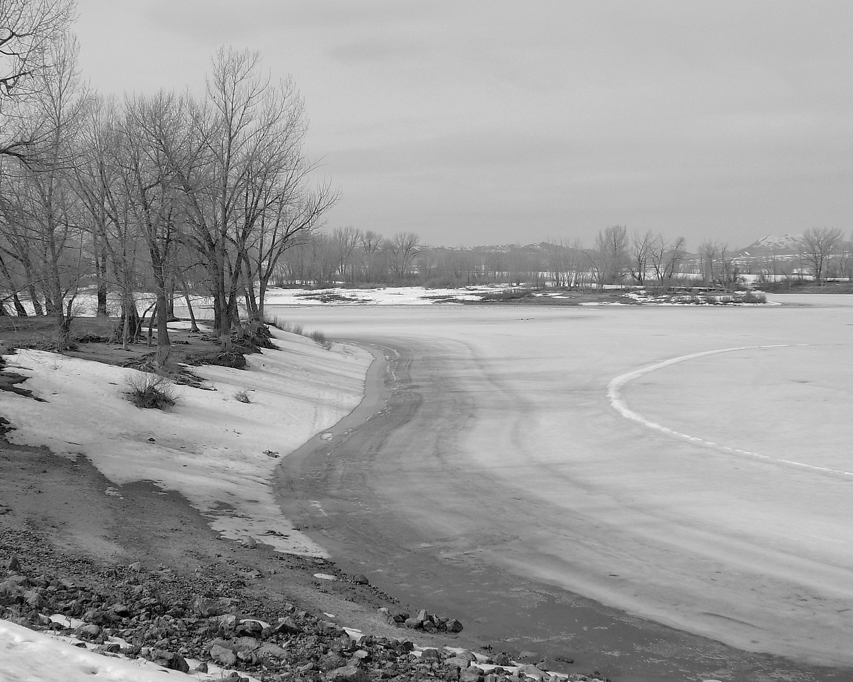
Newton Reservoir. Box Elder County, Utah
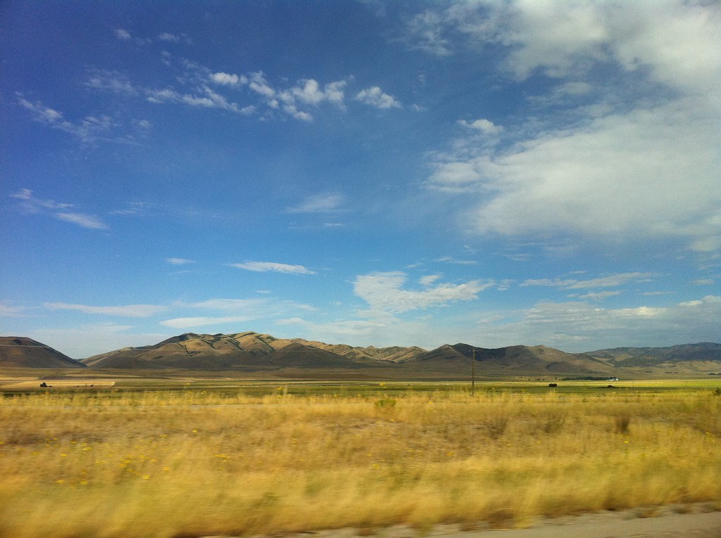
8600w. South Of Portage. Box Elder County, Utah
IMG_1794.JPG
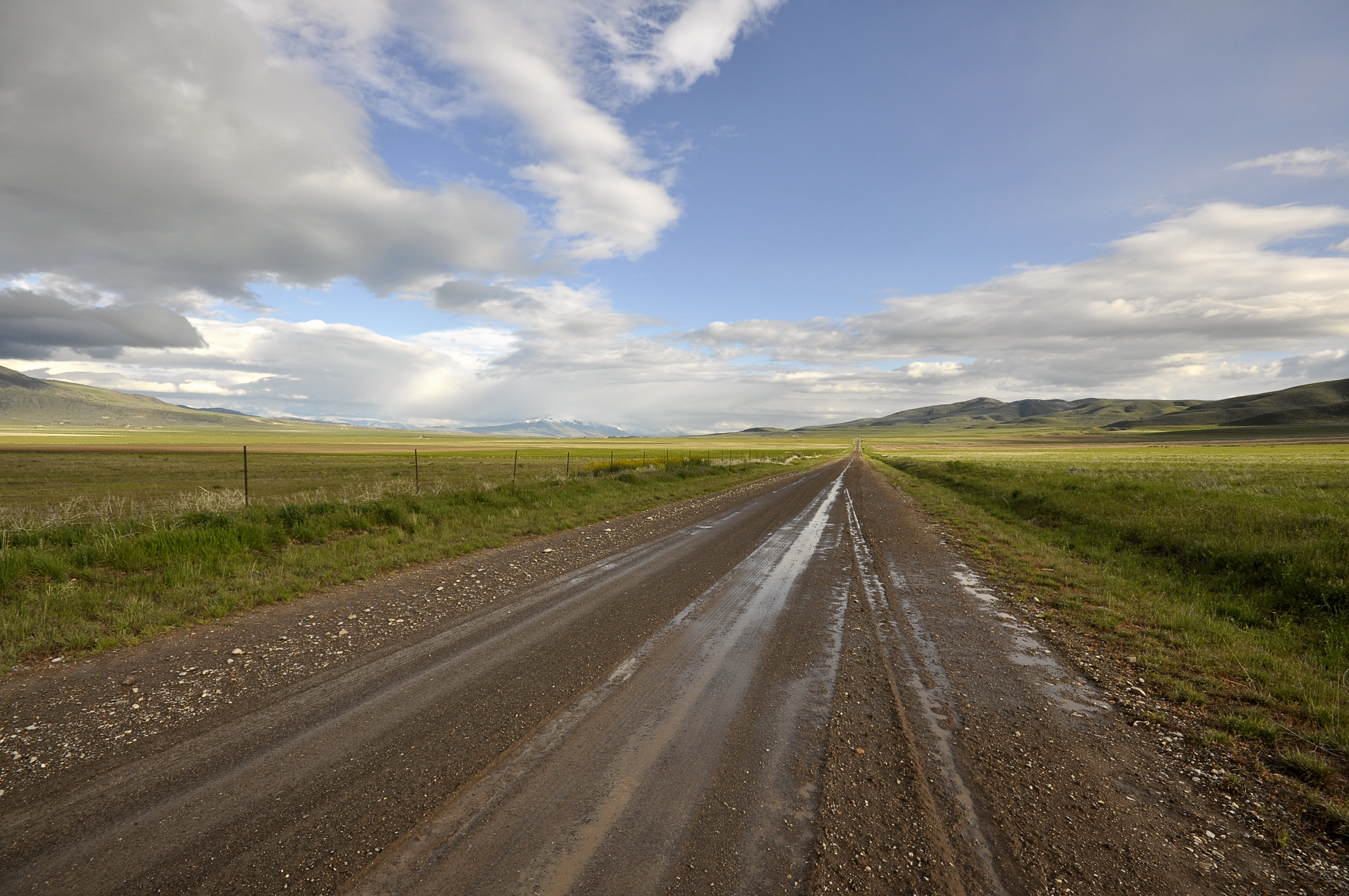
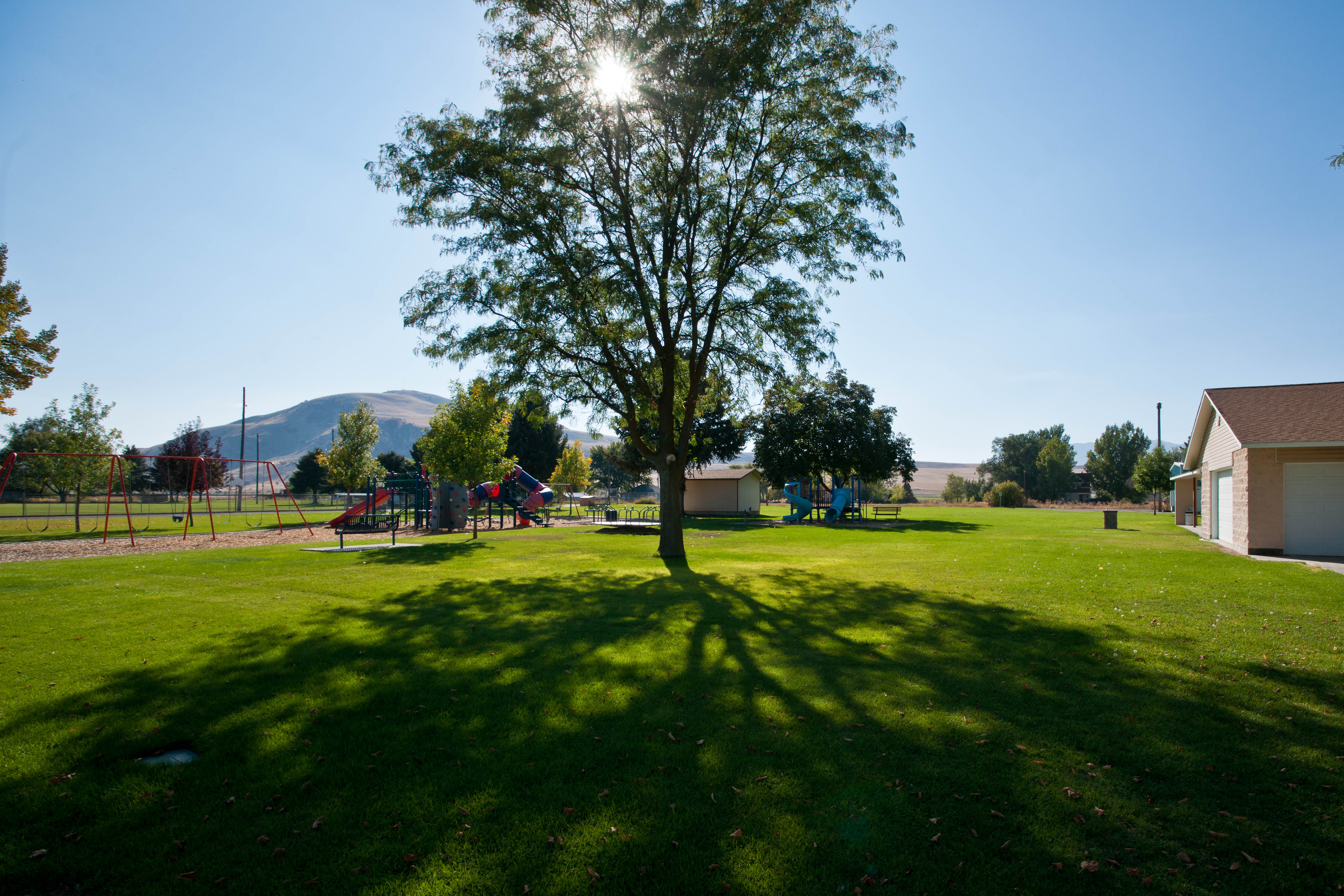
Driving, UT

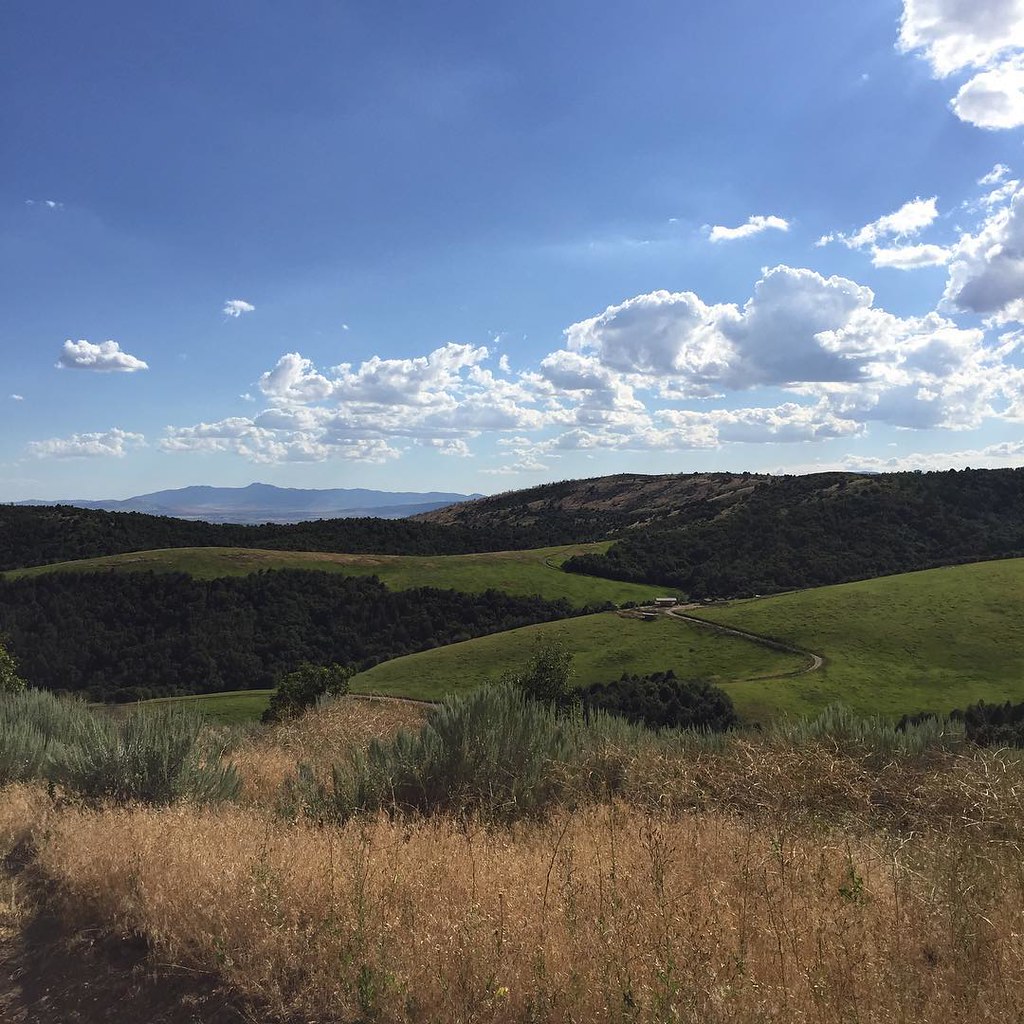
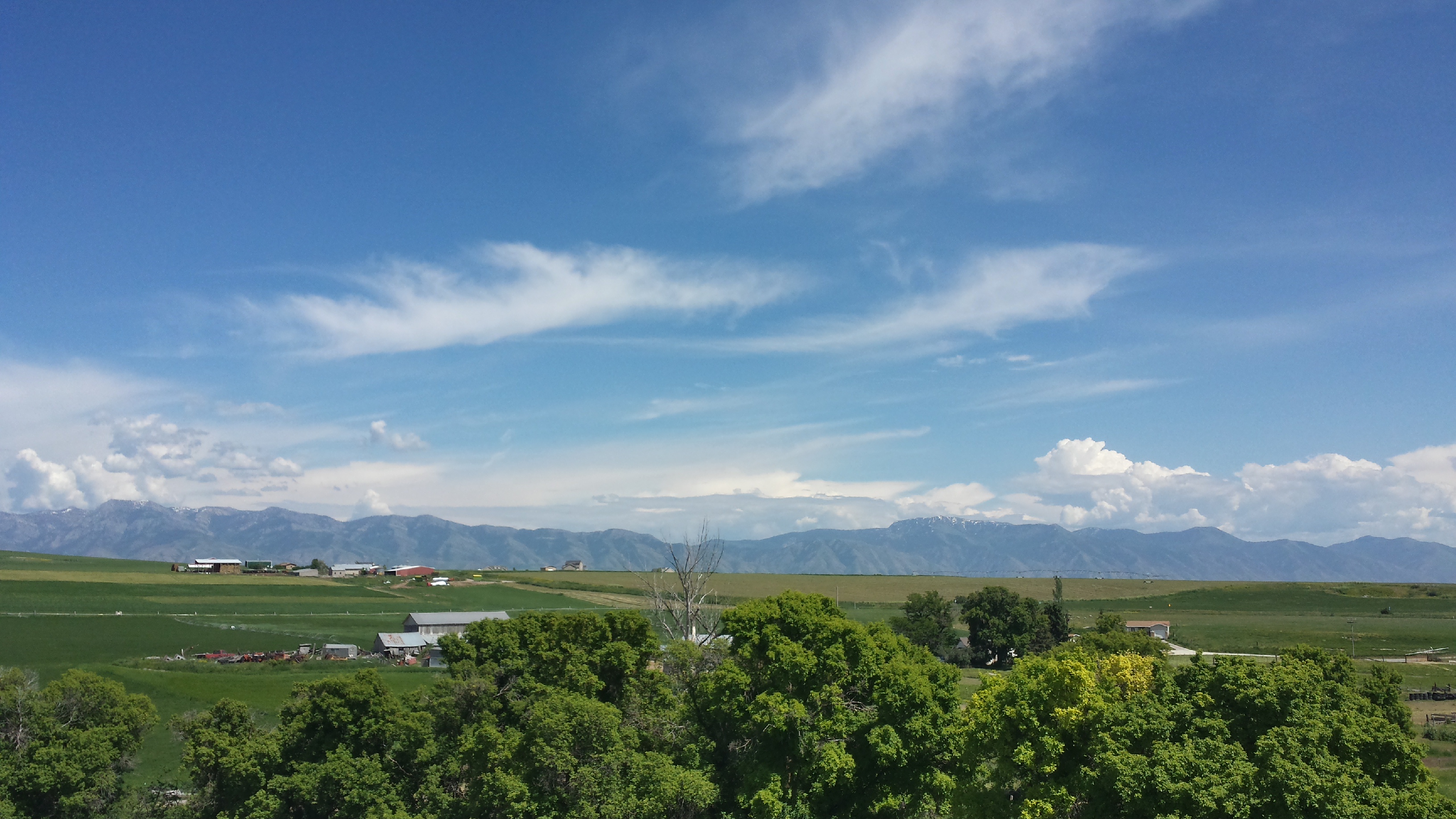
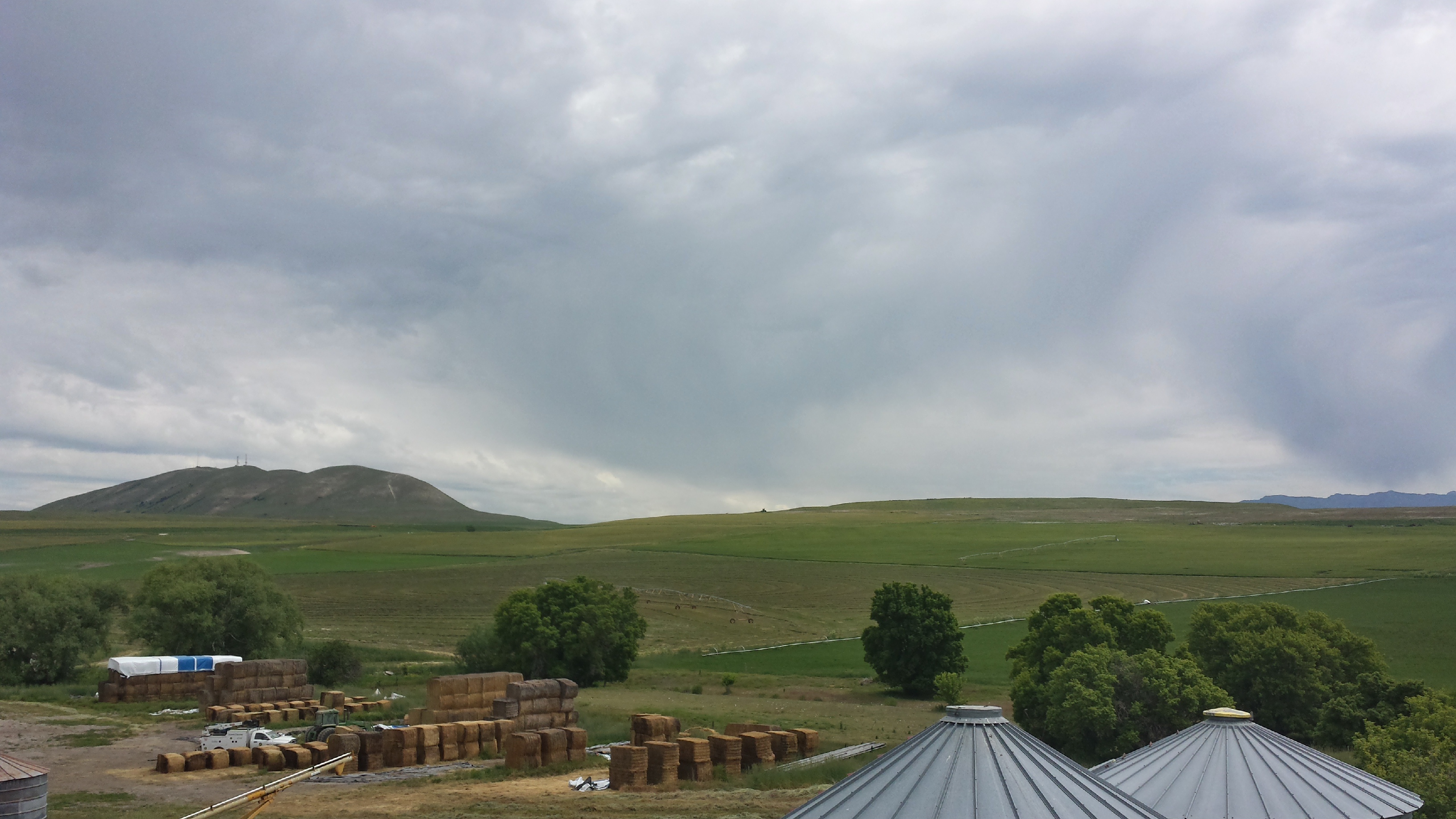
Cache Valley in spring
20150610_154421_Richtone(HDR)

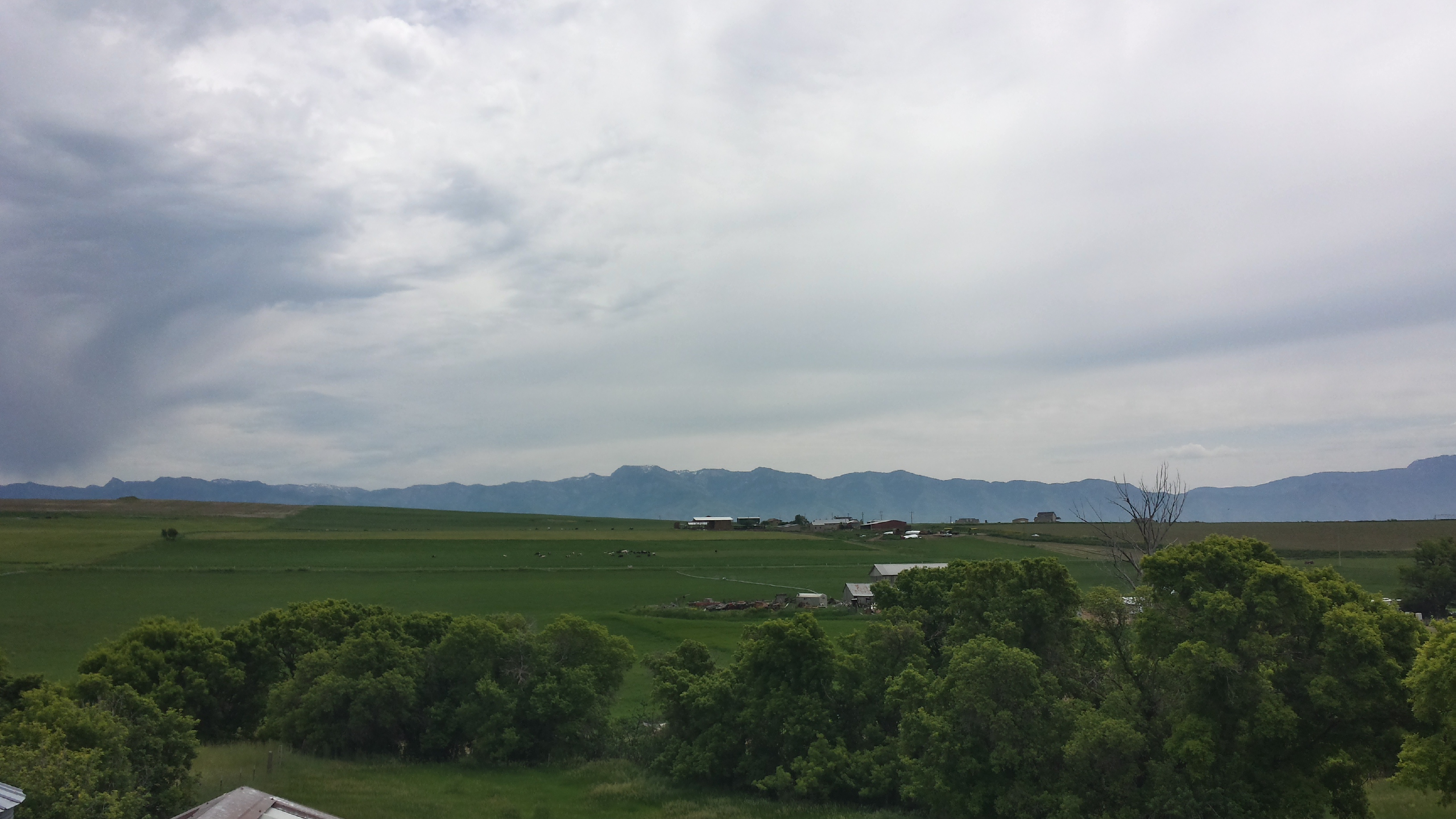
20110629 Cache Valley Landscape

20110629_Cache Valley_11351.jpg
20150610_154532_Richtone(HDR)

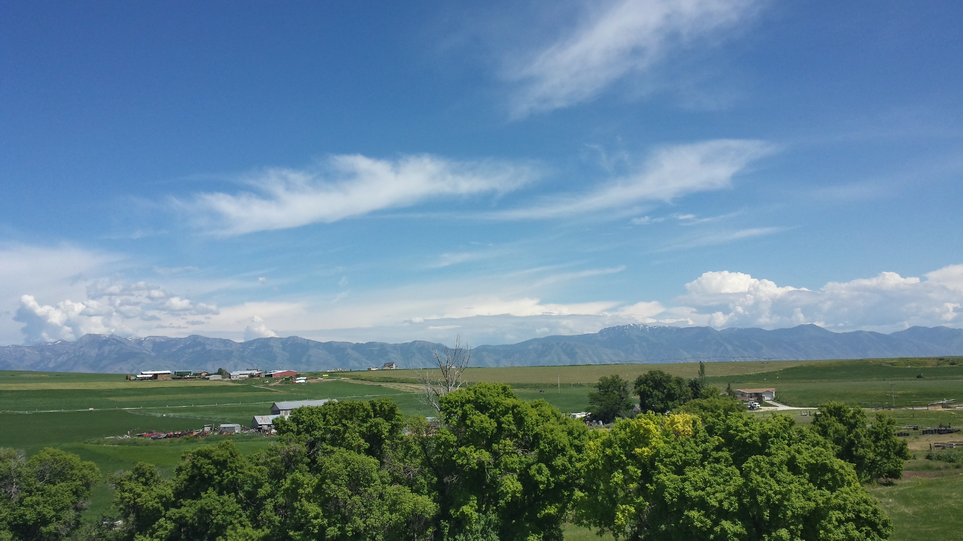
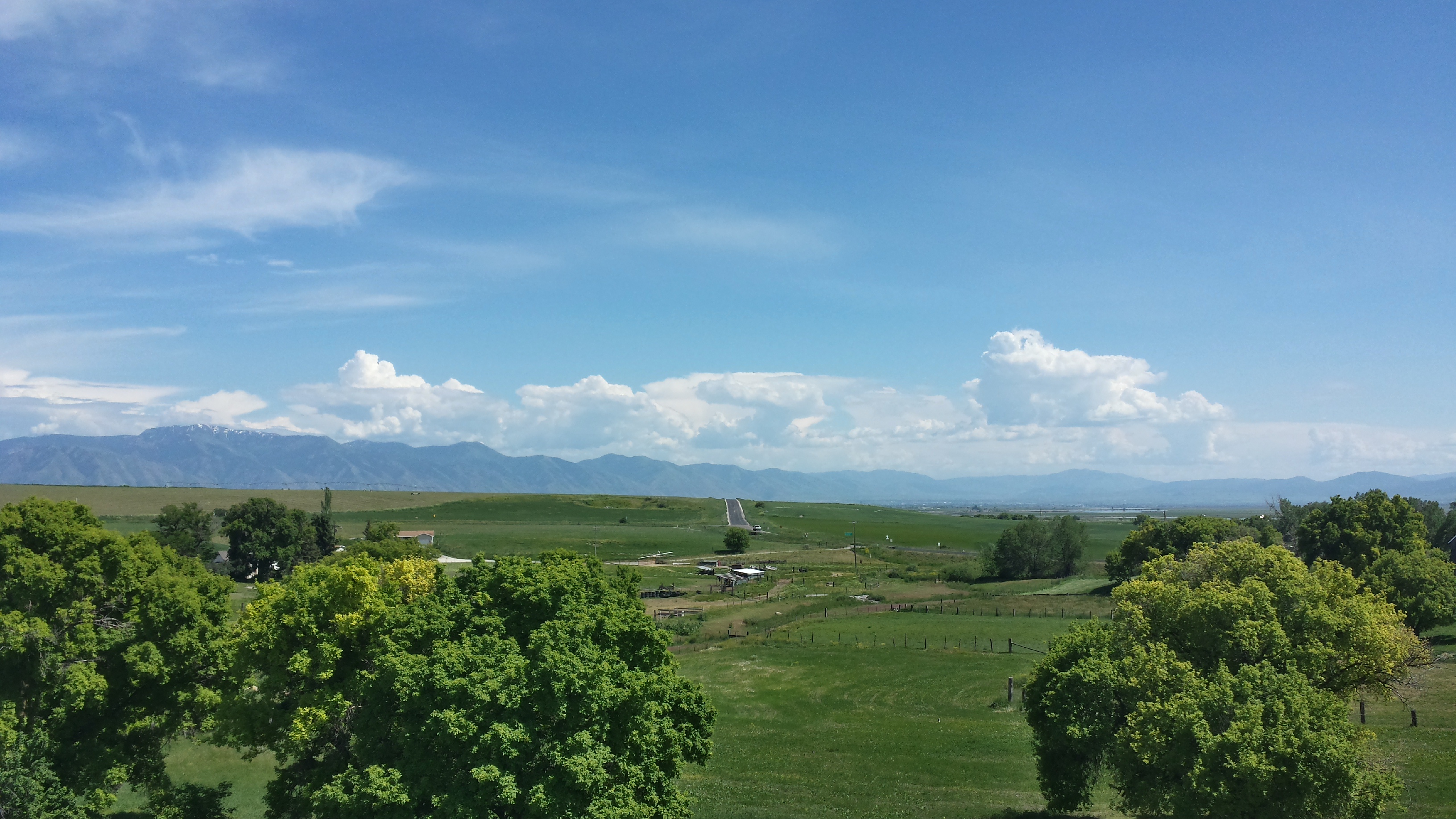
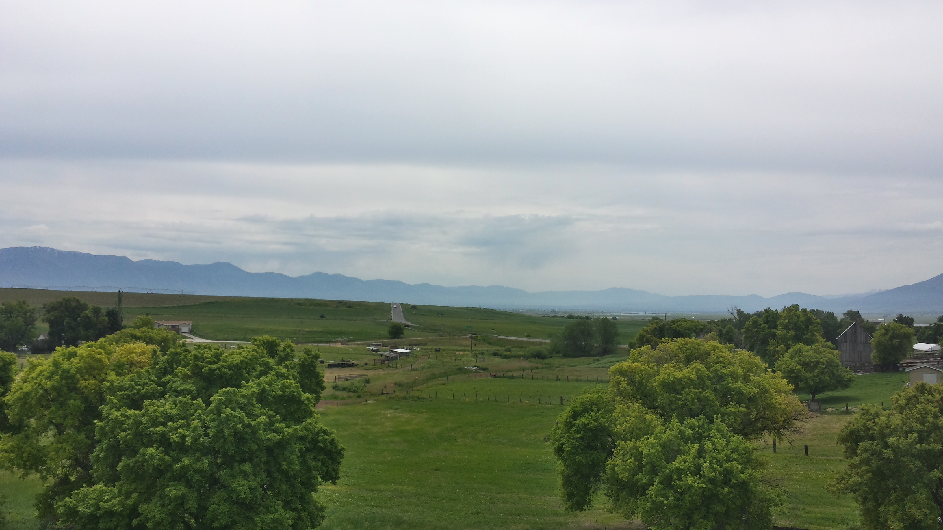
Cache Valley

Cache Valley
20150610_120550_Richtone(HDR)

Cutler at sunset
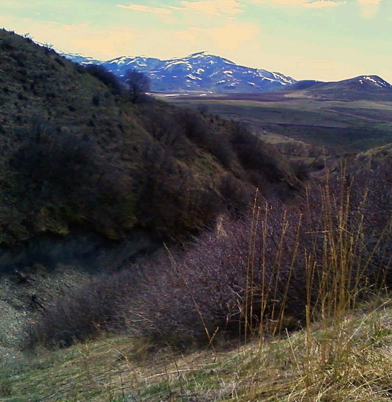
April South West from Maple Hollow
20150610_154201_Richtone(HDR)
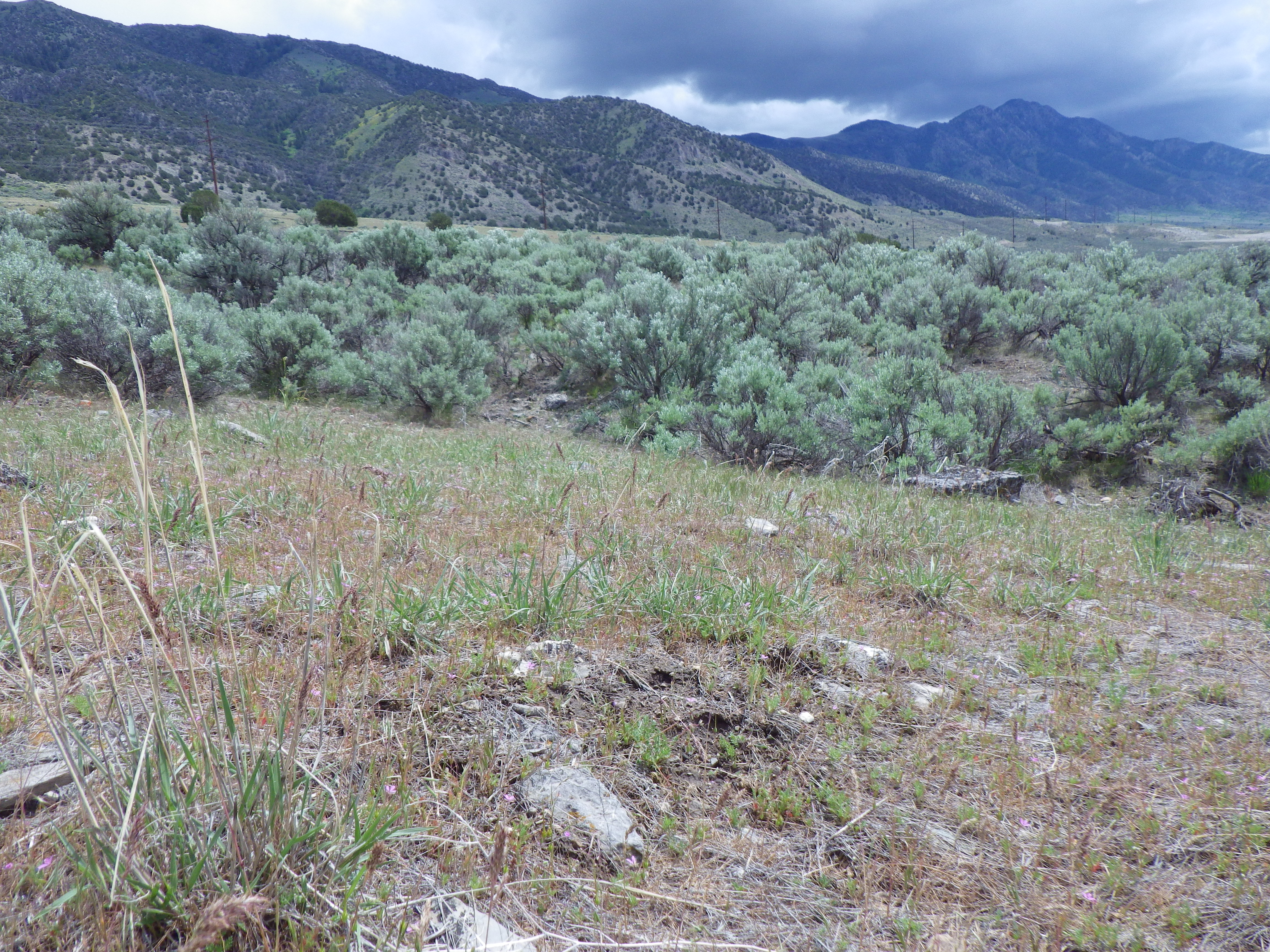
Poa bulbosa and Bromus japonicus
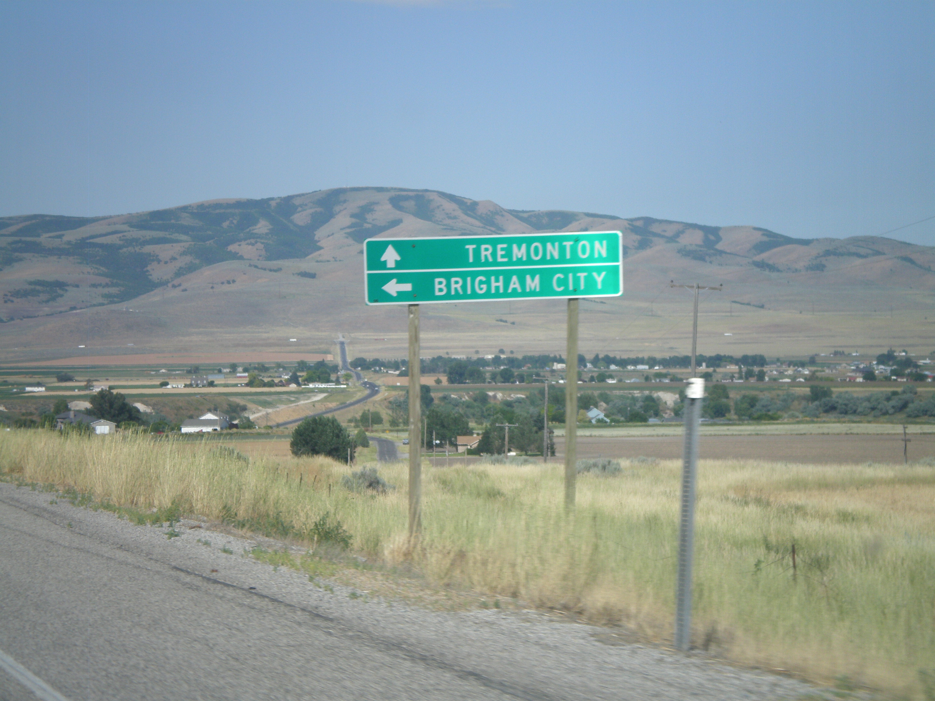
Trenton, Utah
20150610_120545_Richtone(HDR)
20150610_120308_Richtone(HDR)
UT-30 West Approaching UT-38
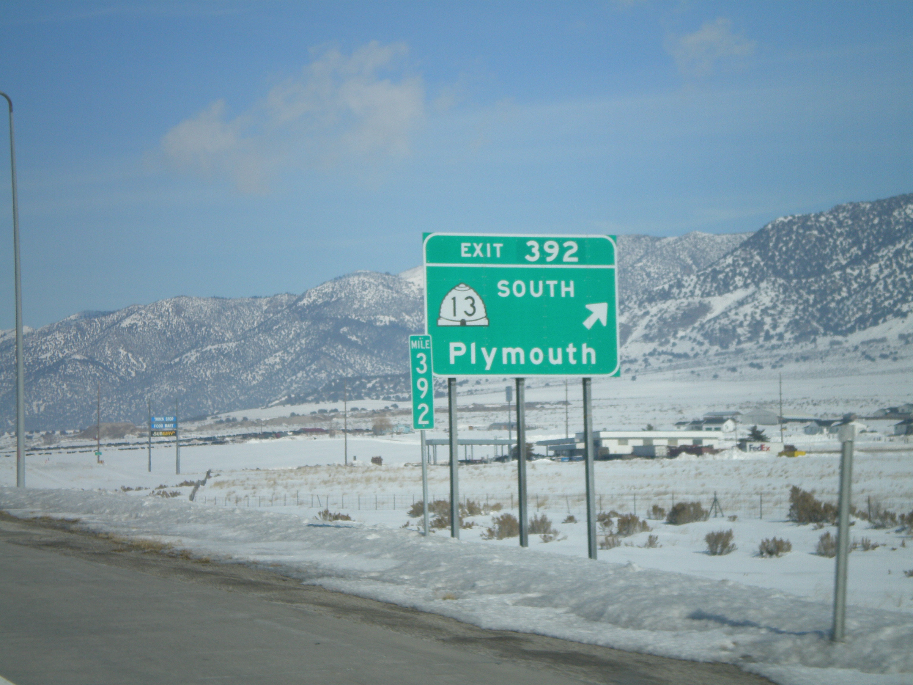
I-15 North - Exit 392
Topographic Map of Clarkston, UT, USA
Find elevation by address:

Places in Clarkston, UT, USA:
Places near Clarkston, UT, USA:
25 E Center St, Clarkston, UT, USA
9258 W 9950 N
Newton
91 N E, Smithfield, UT, USA
N W, Cache, UT, USA
369 W 800 S
Plymouth
20 State Rte, Trenton, UT, USA
Trenton
Trenton
15320 N 400 W
27 N Center St, Weston, ID, USA
W N, Mendon, UT, USA
Collinston
N W, Collinston, UT, USA
Peter
7041 W 600 N
8480 N 2400 W
43 Fairview-Franklin Rd, Preston, ID, USA
N Westside Hwy, Dayton, ID, USA
Recent Searches:
- Elevation of Corso Fratelli Cairoli, 35, Macerata MC, Italy
- Elevation of Tallevast Rd, Sarasota, FL, USA
- Elevation of 4th St E, Sonoma, CA, USA
- Elevation of Black Hollow Rd, Pennsdale, PA, USA
- Elevation of Oakland Ave, Williamsport, PA, USA
- Elevation of Pedrógão Grande, Portugal
- Elevation of Klee Dr, Martinsburg, WV, USA
- Elevation of Via Roma, Pieranica CR, Italy
- Elevation of Tavkvetili Mountain, Georgia
- Elevation of Hartfords Bluff Cir, Mt Pleasant, SC, USA