Elevation of N W, Cache, UT, USA
Location: United States > Utah > Cache County >
Longitude: -112.00205
Latitude: 41.836064
Elevation: 1356m / 4449feet
Barometric Pressure: 86KPa
Elevation Map:
Satellite Map:
Related Photos:

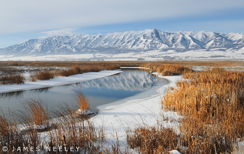
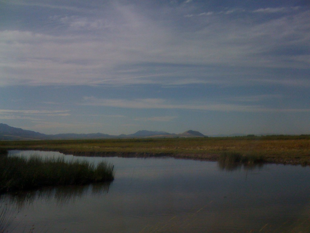
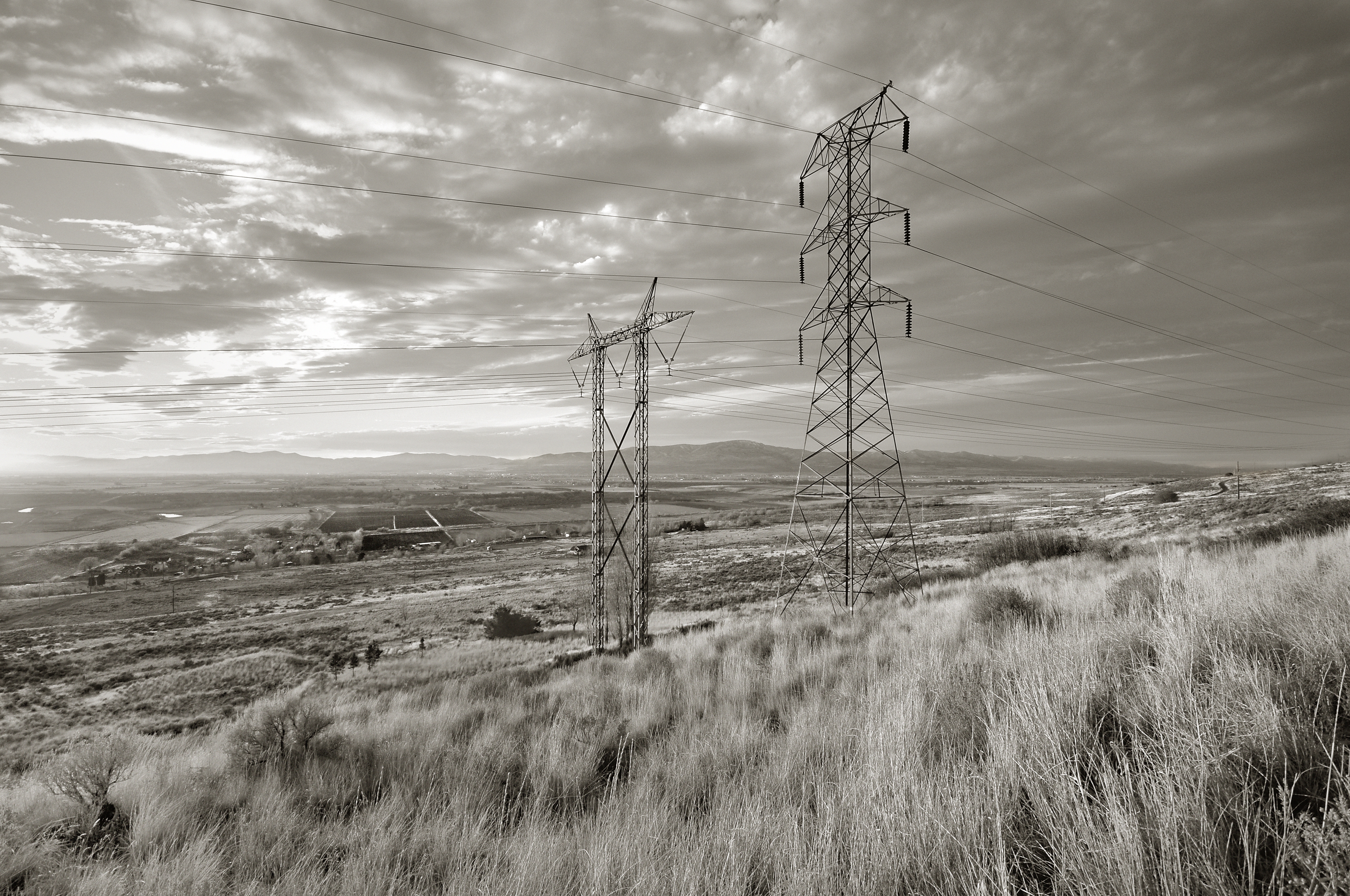
Cutler Marsh

Evening Calm

Rocky mountains, USA, CrossView
Luxurious Winter
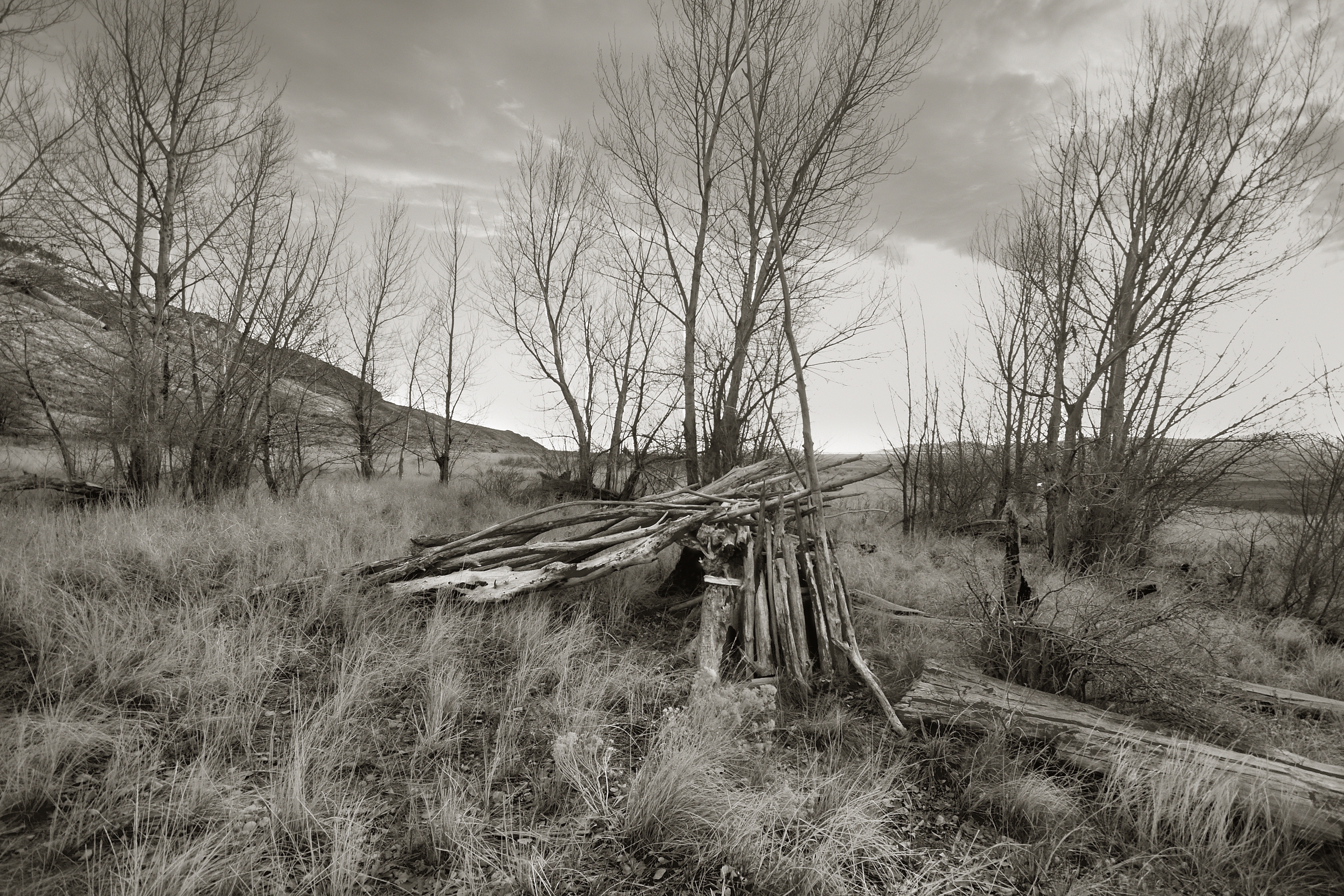
Mendon Utah view of Cache National Forrest
Wasatch Mountains
A view from the top of the mountain.
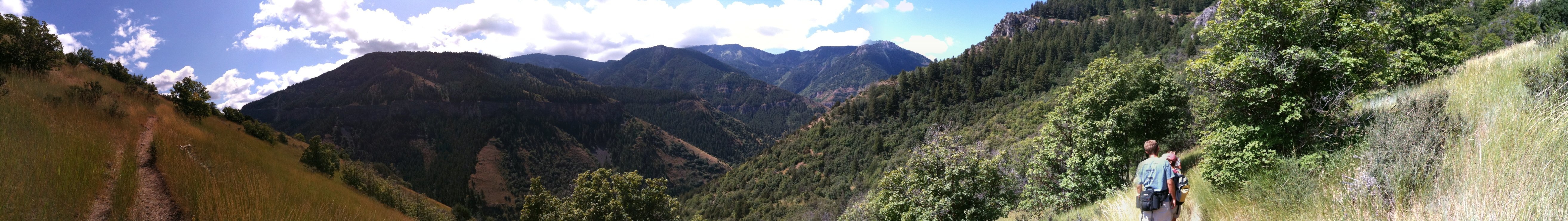
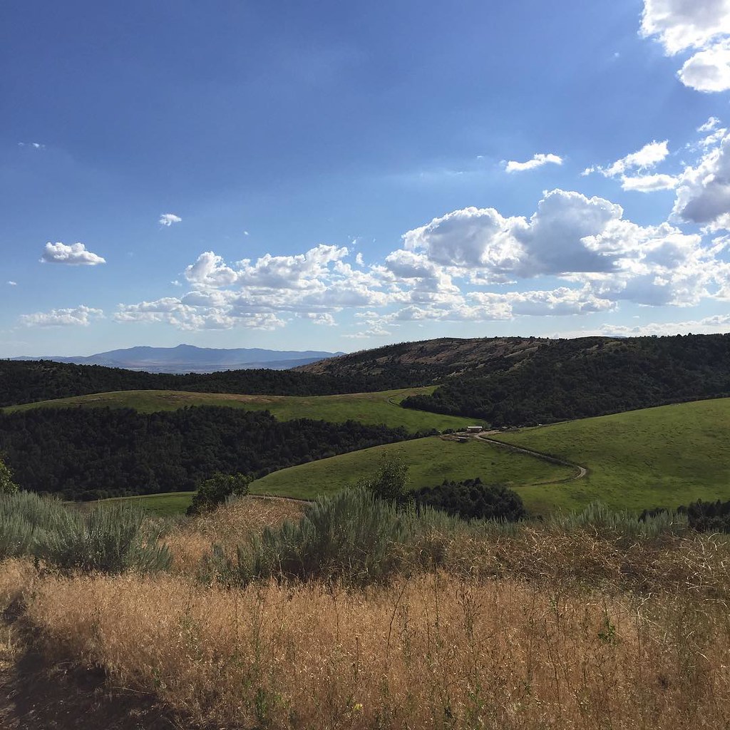
Panoramic view from the hike up Wind Cave Trail in Logan
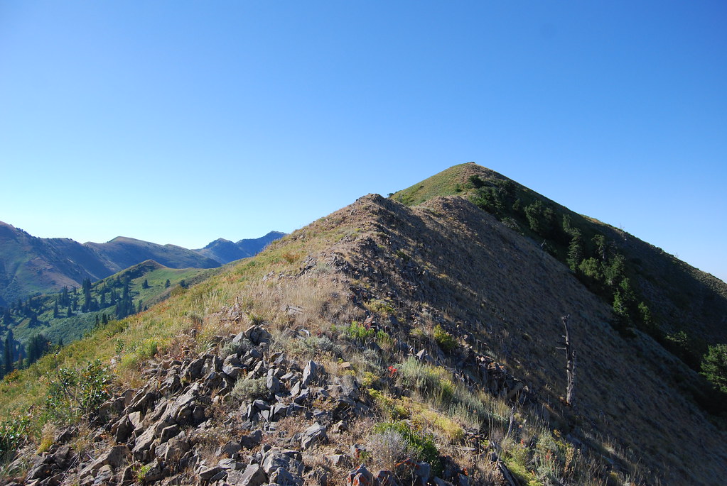
Raptor Peak
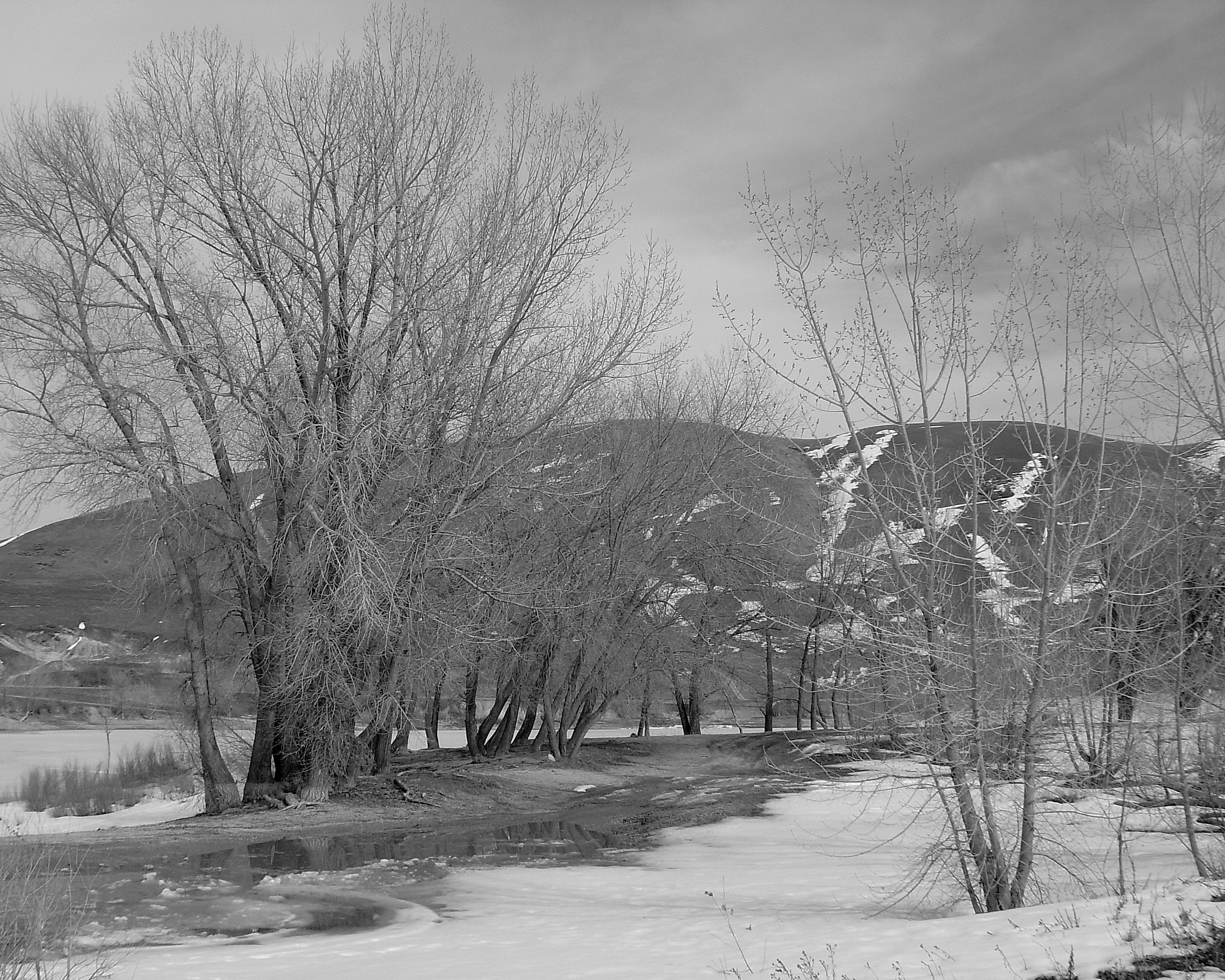
Newton Reservoir. Box Elder County, Utah
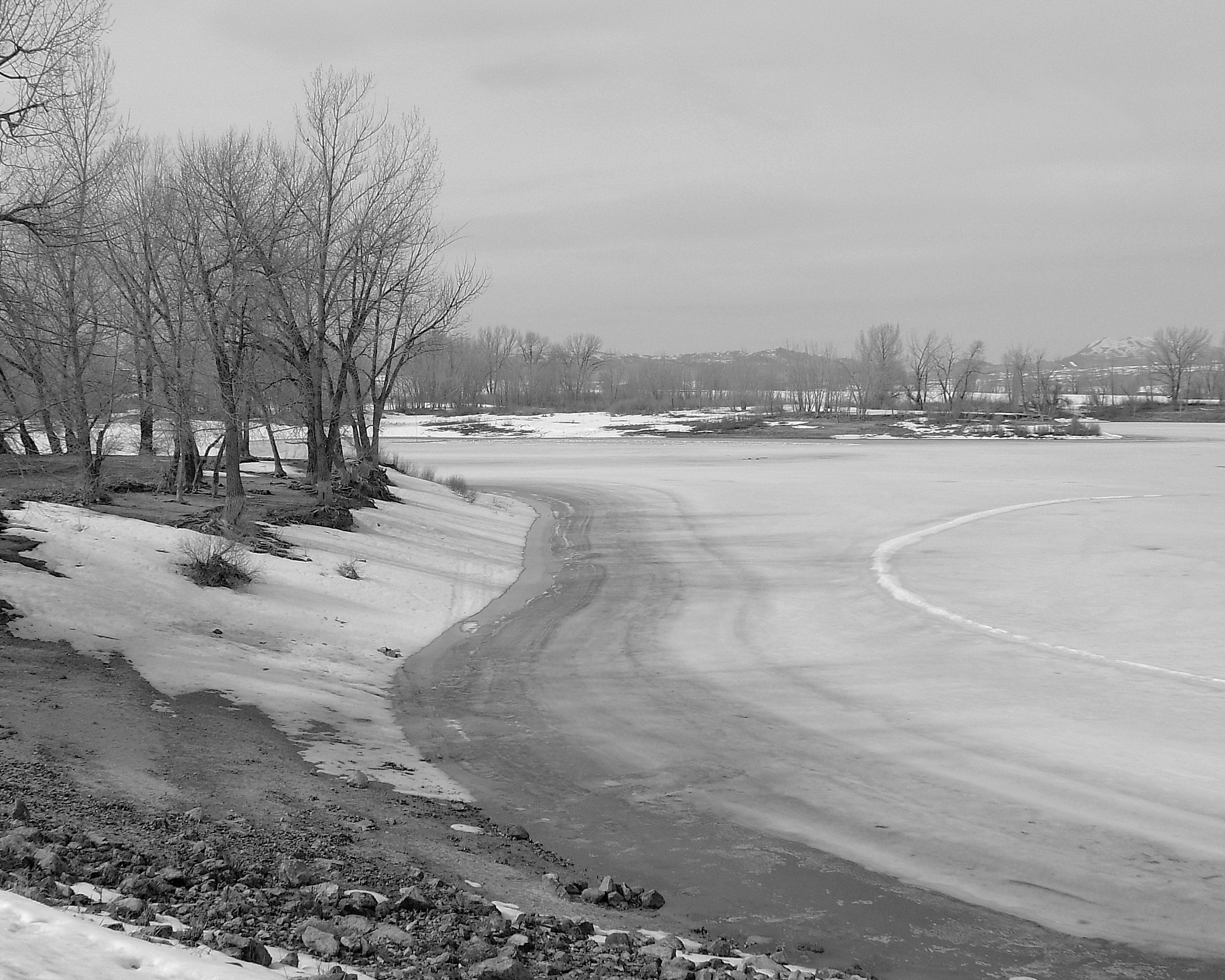
Newton Reservoir. Box Elder County, Utah
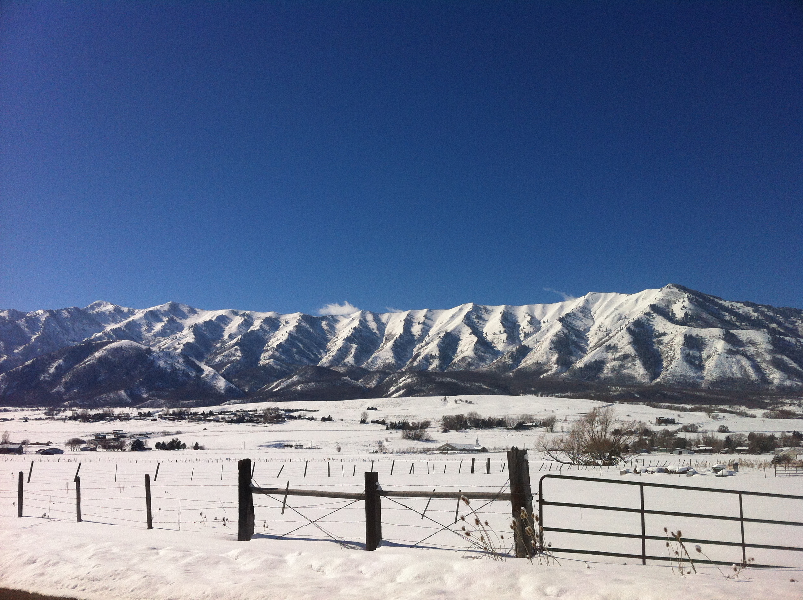
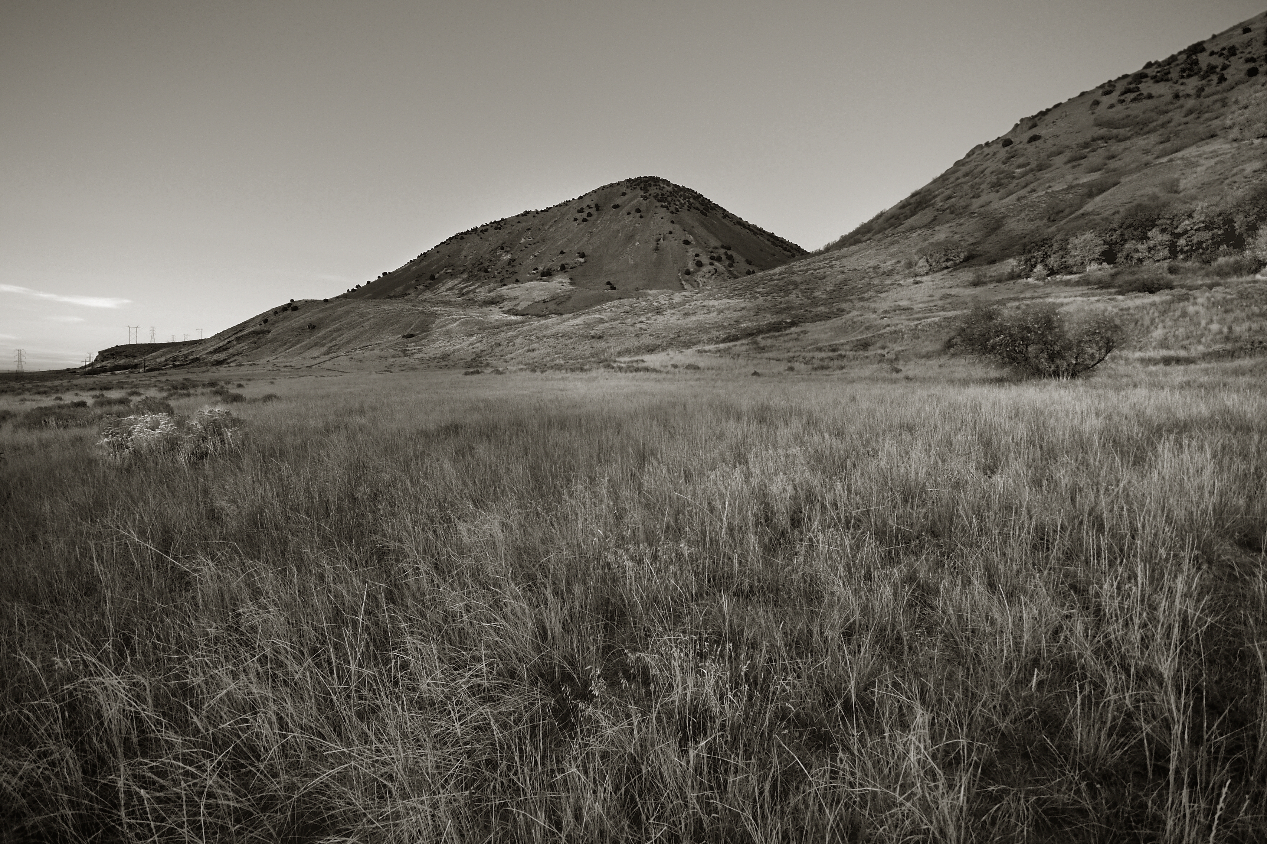
Wellsville Mountains, Utah
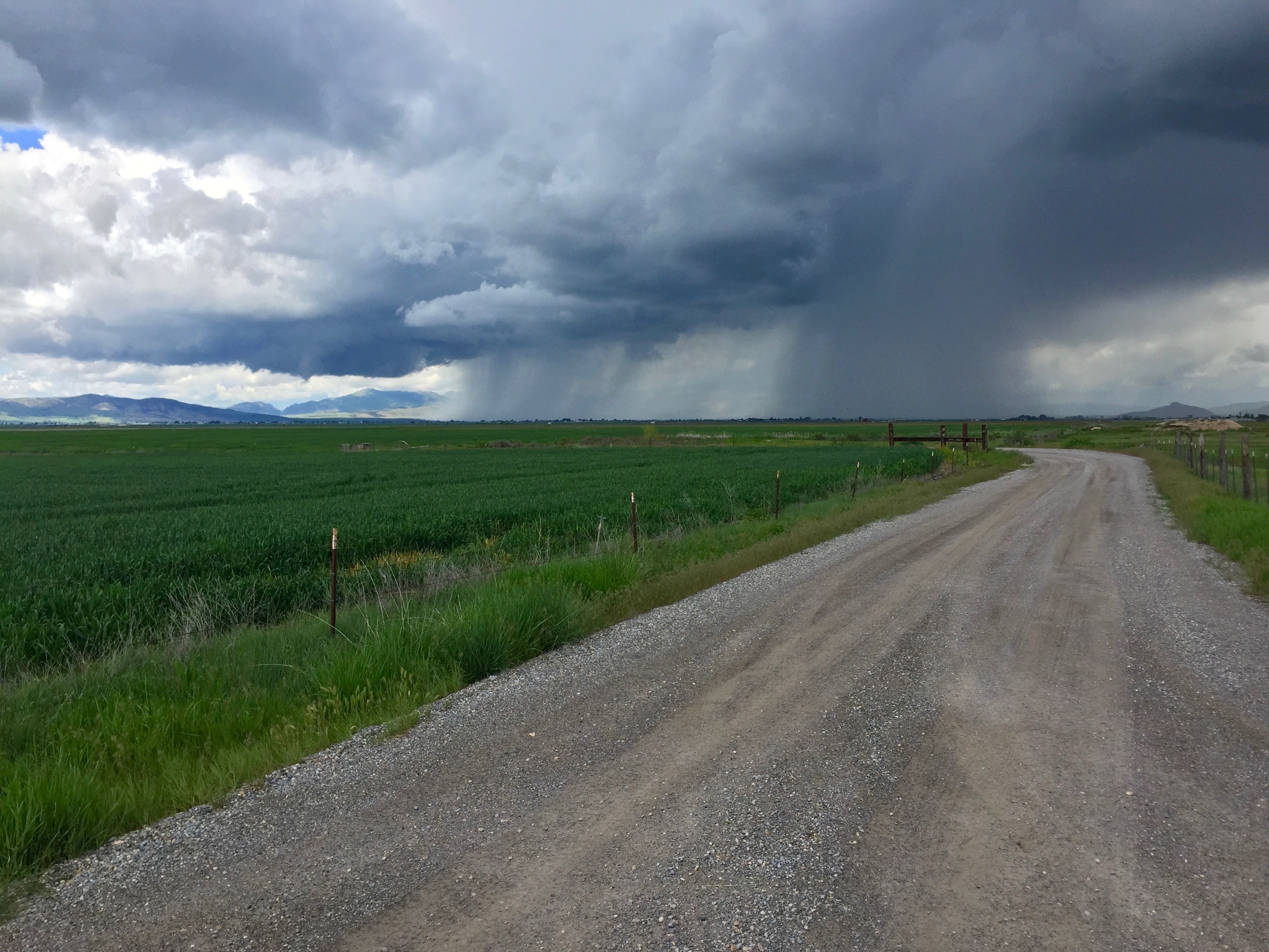
It Is Coming
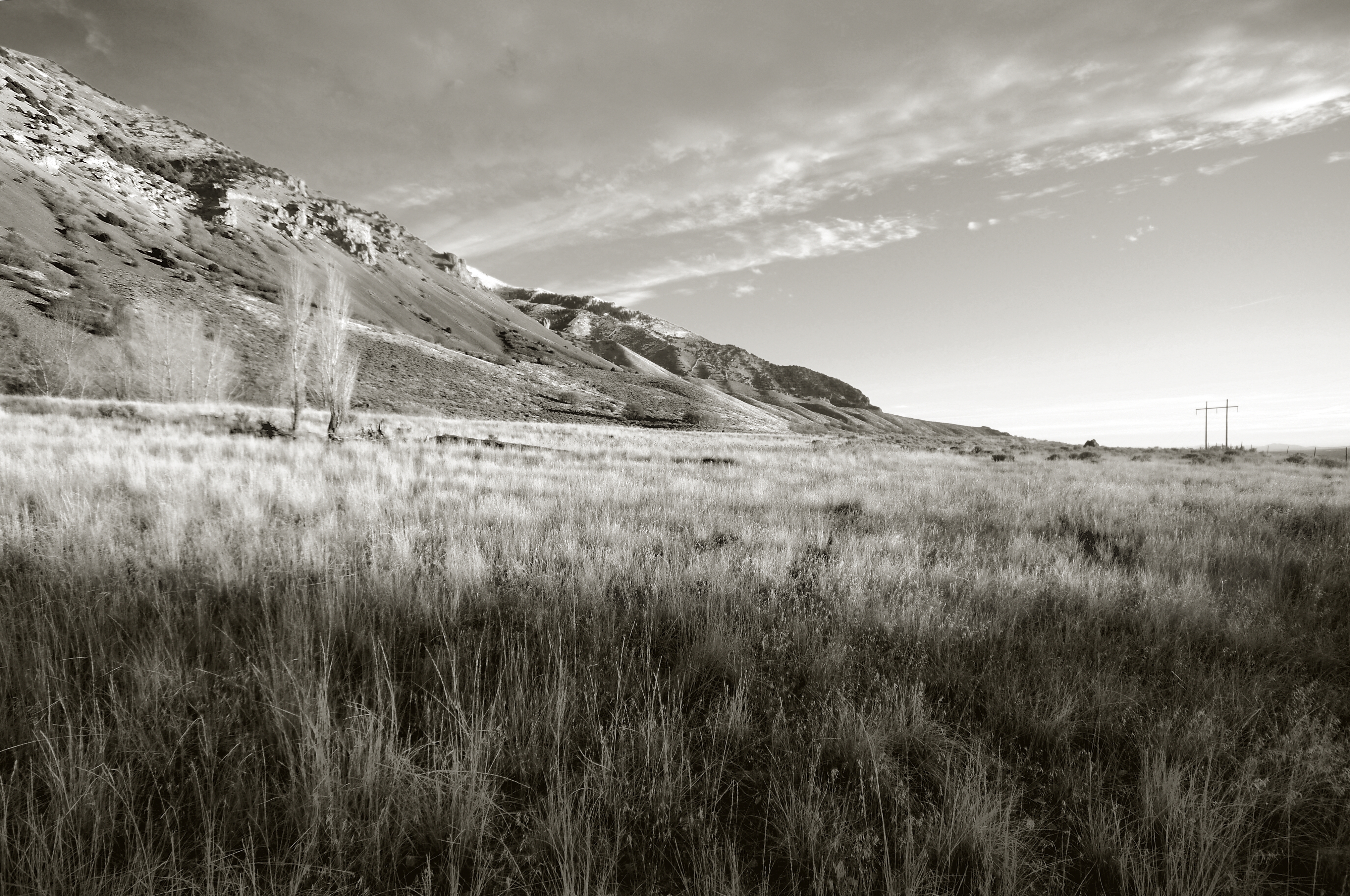
Wellsville Mountains, Utah

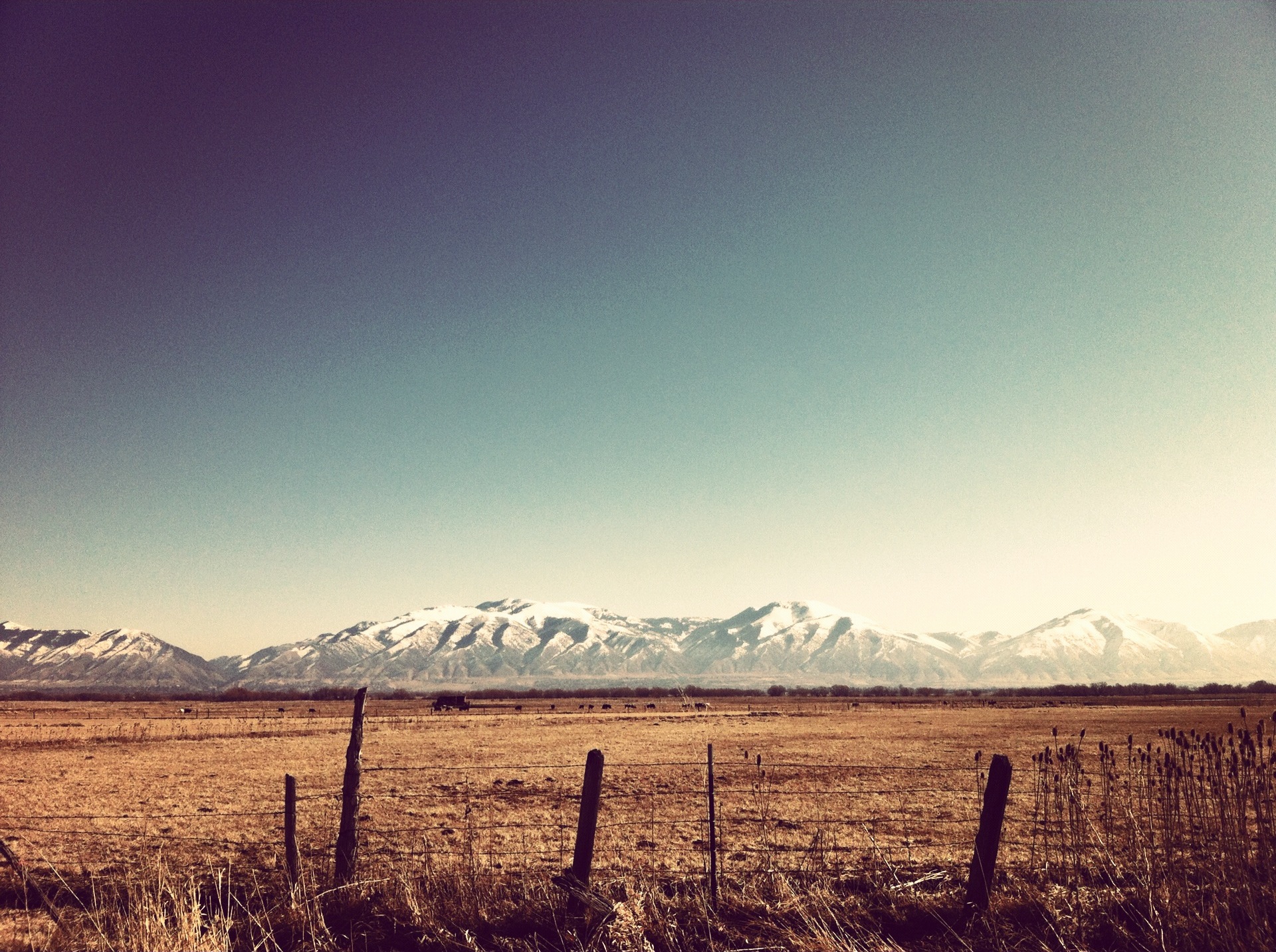
20110629 Cache Valley Landscape

20110629_Cache Valley_11351.jpg

Cache Valley

Cache Valley

Camera Roll-1030

Camera Roll-1033

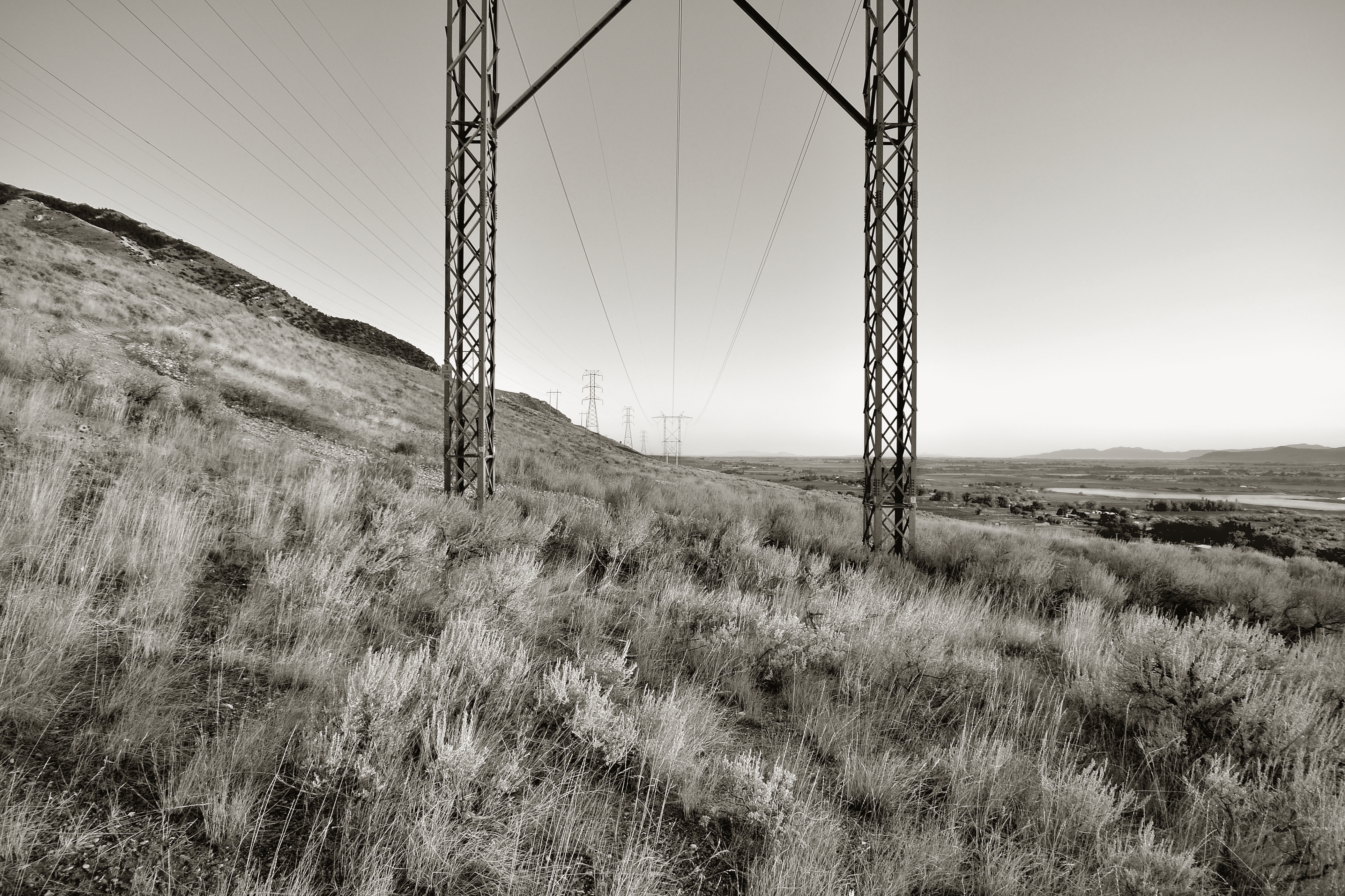
Wellsville Mountains

Camera Roll-1026
IMG_1794.JPG
Wellsville Mountains, Utah
Wellsville Mountains, Utah
Wellsville Mountains, Utah

Doe, a deer
Topographic Map of N W, Cache, UT, USA
Find elevation by address:

Places near N W, Cache, UT, USA:
Newton
91 N E, Smithfield, UT, USA
15320 N 400 W
W N, Mendon, UT, USA
Peter
369 W 800 S
7041 W 600 N
Clarkston
25 E Center St, Clarkston, UT, USA
9258 W 9950 N
20 State Rte, Trenton, UT, USA
Trenton
Trenton
Collinston
8480 N 2400 W
N W, Collinston, UT, USA
Benson
Plymouth
129 N 100 W
99 N Main St, Smithfield, UT, USA
Recent Searches:
- Elevation of Corso Fratelli Cairoli, 35, Macerata MC, Italy
- Elevation of Tallevast Rd, Sarasota, FL, USA
- Elevation of 4th St E, Sonoma, CA, USA
- Elevation of Black Hollow Rd, Pennsdale, PA, USA
- Elevation of Oakland Ave, Williamsport, PA, USA
- Elevation of Pedrógão Grande, Portugal
- Elevation of Klee Dr, Martinsburg, WV, USA
- Elevation of Via Roma, Pieranica CR, Italy
- Elevation of Tavkvetili Mountain, Georgia
- Elevation of Hartfords Bluff Cir, Mt Pleasant, SC, USA