Elevation of Cove, UT, USA
Location: United States > Utah > Cache County >
Longitude: -111.80605
Latitude: 41.9635383
Elevation: 1390m / 4560feet
Barometric Pressure: 86KPa
Elevation Map:
Satellite Map:
Related Photos:
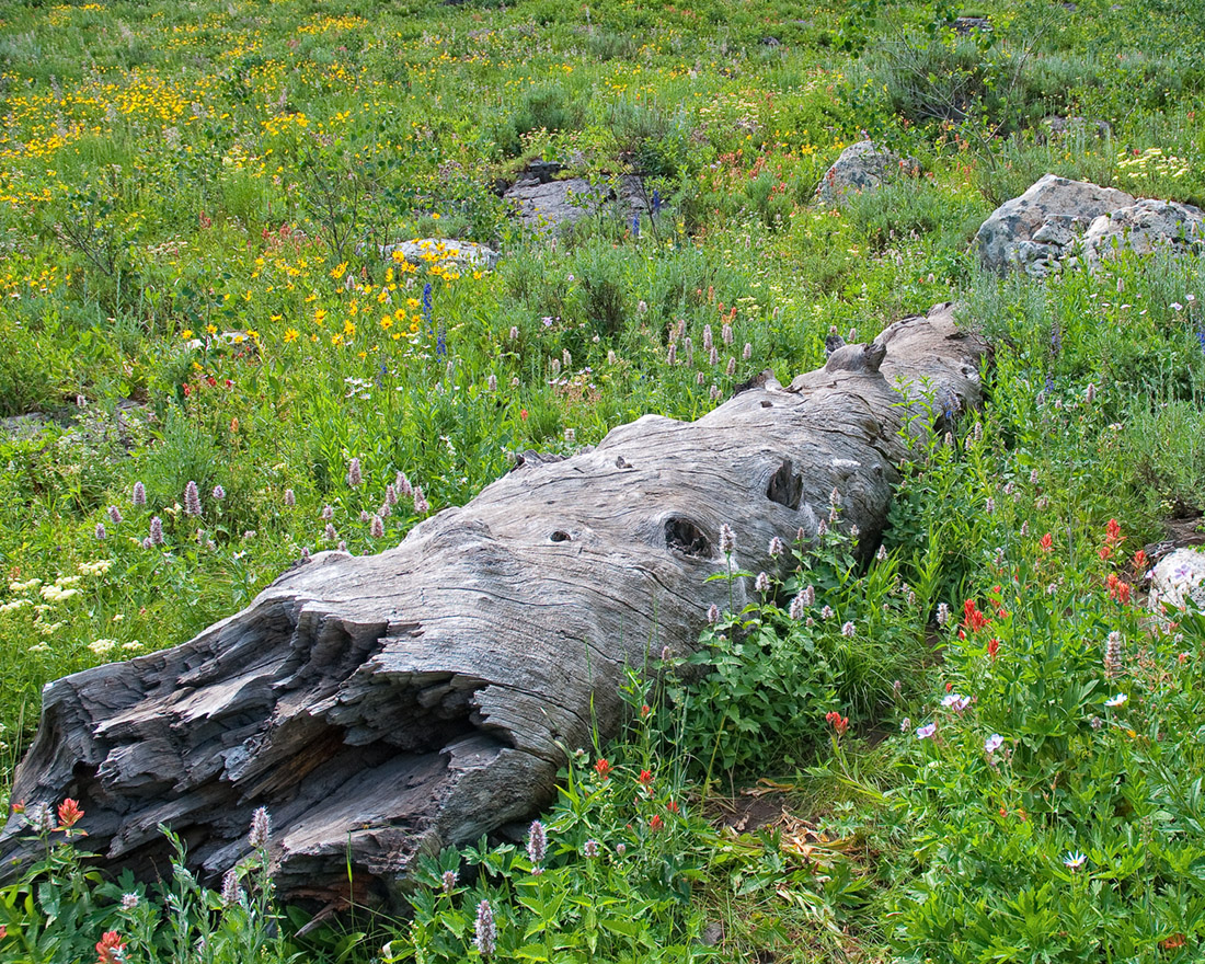
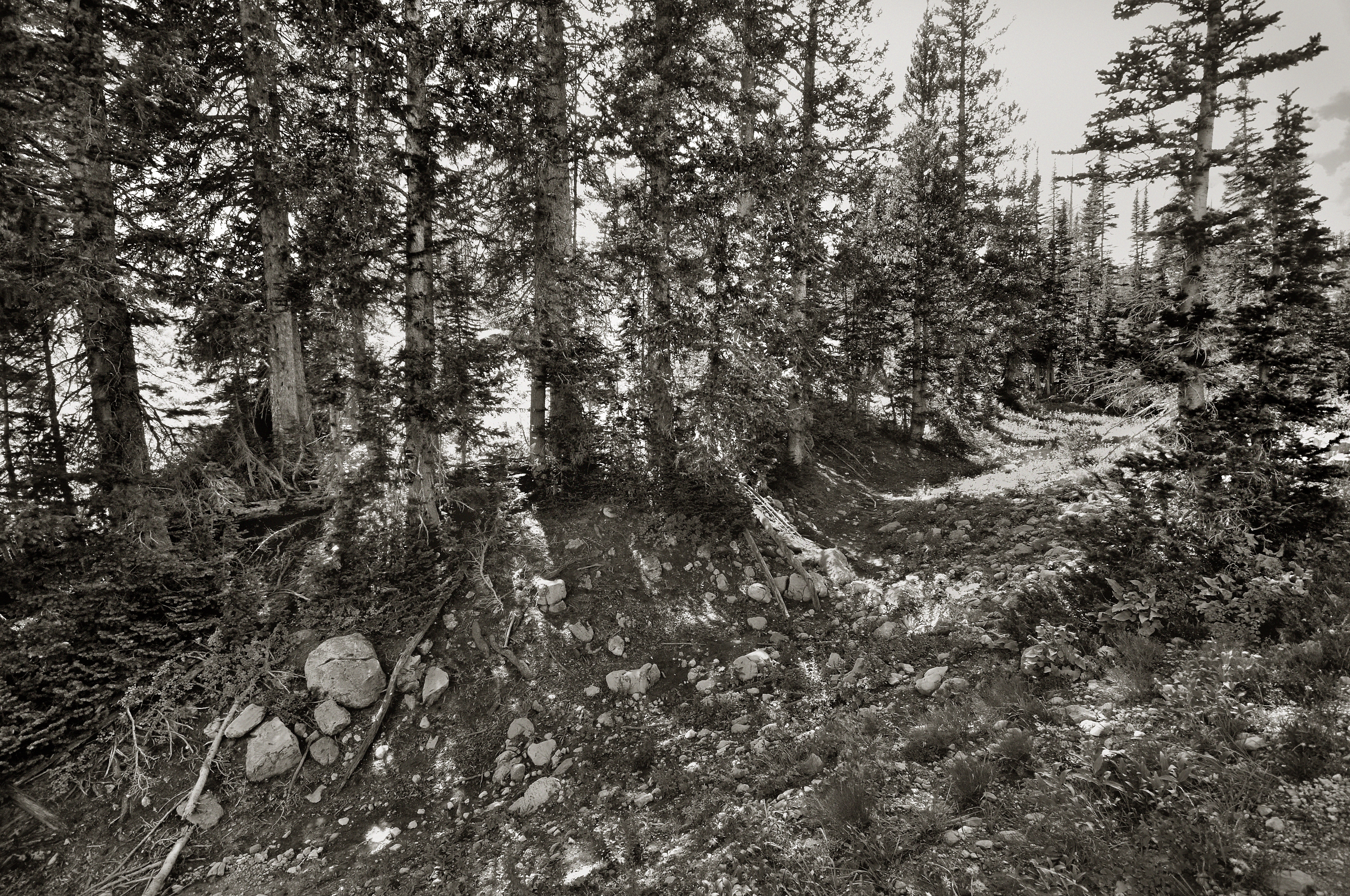
Fallen Fir

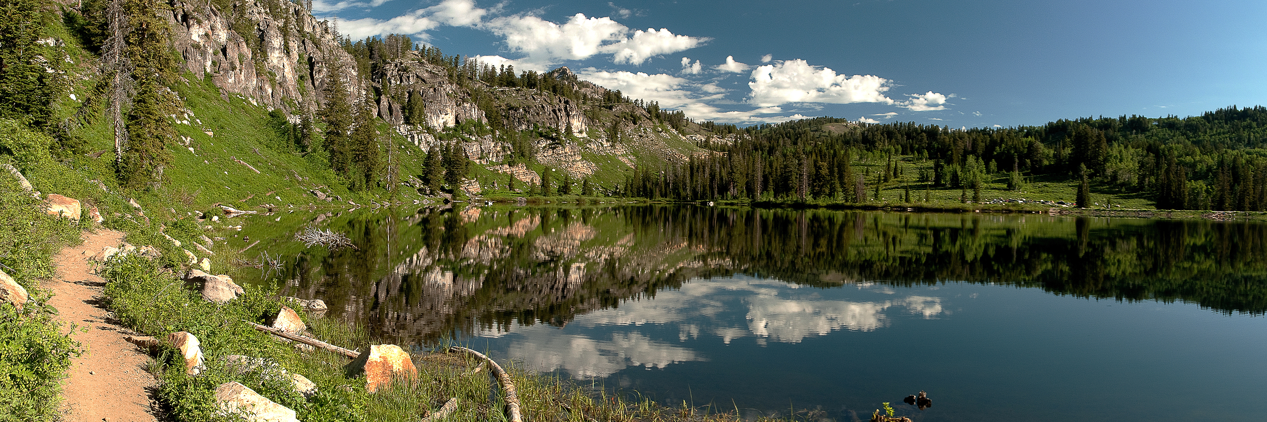
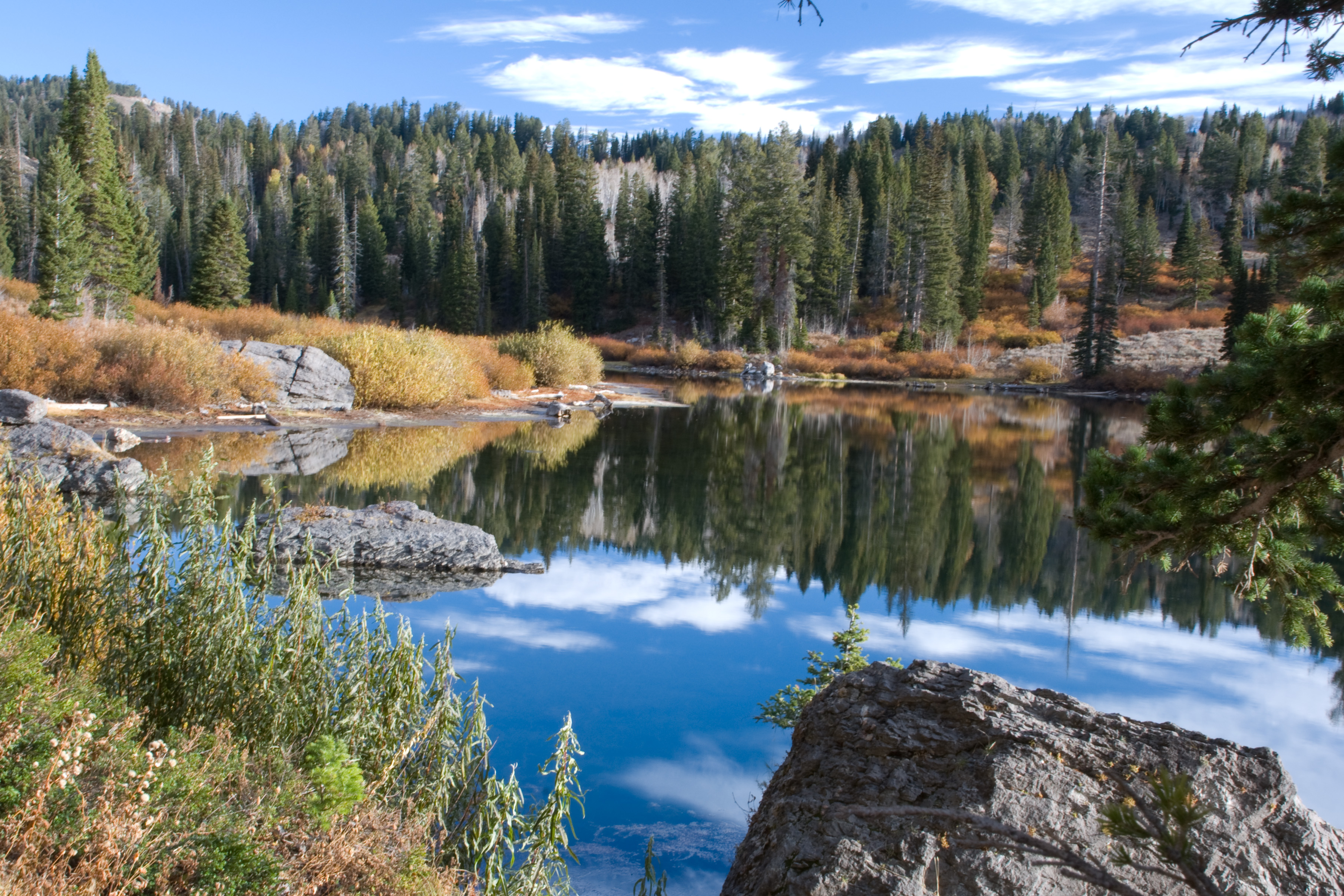
MIrror View

Fuzzy Wuzzy Wuz A Bee . . . ?

Western White Butterfly
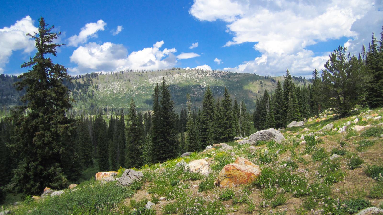
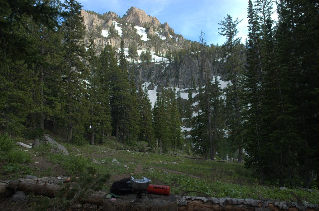
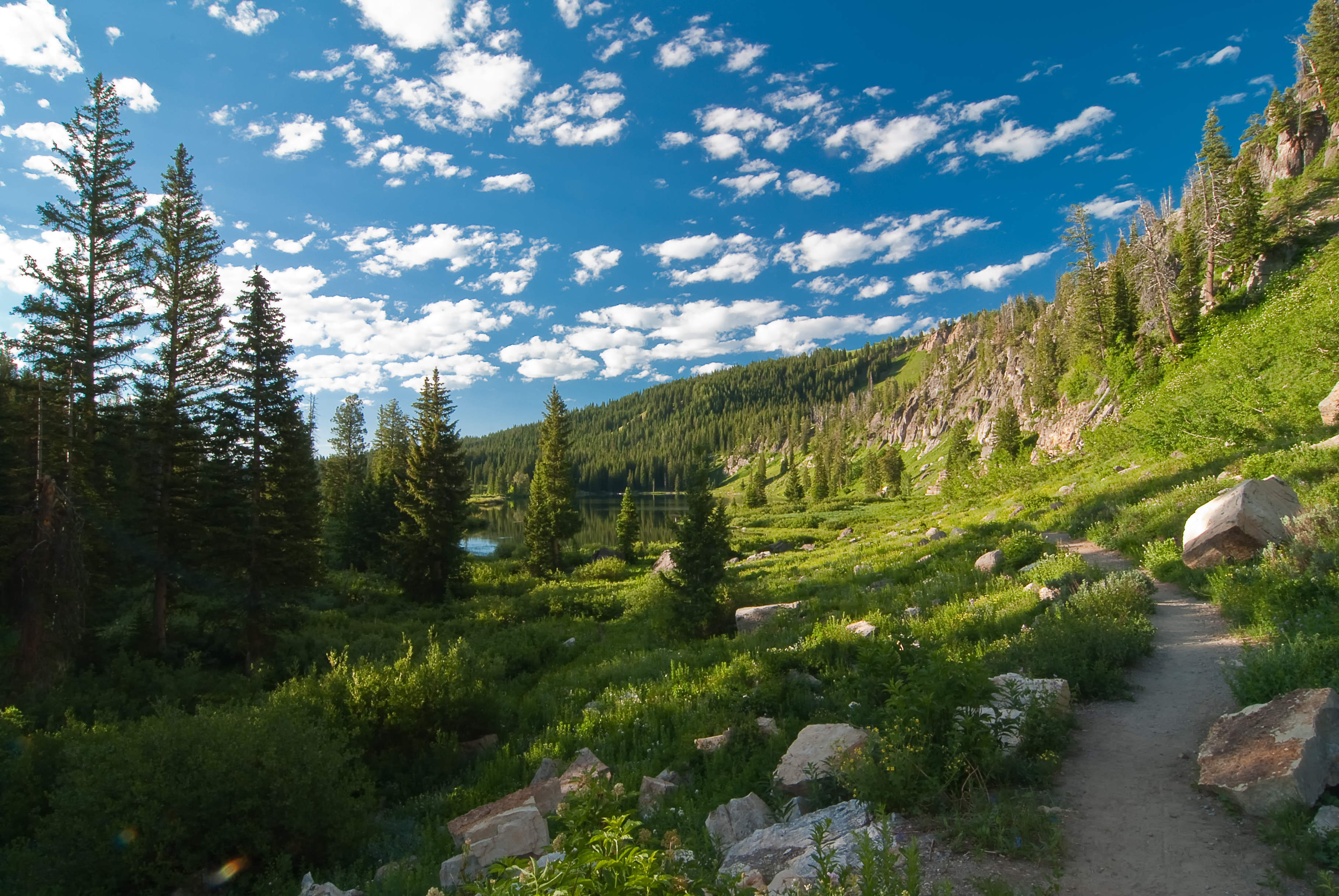
View from the White Pine Lake trail before it drops over the saddle and down to the lake
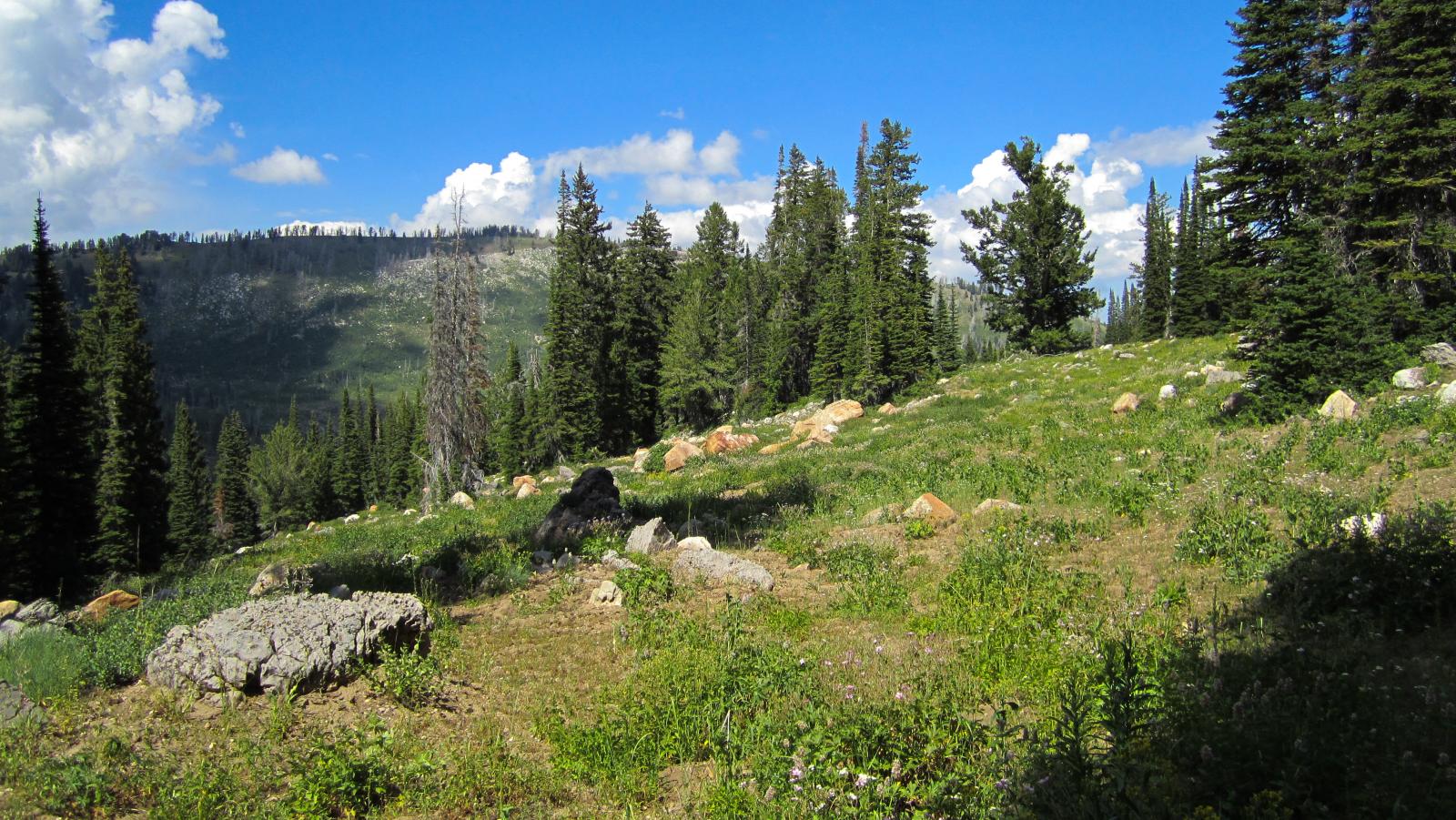
View from the saddle on the trail to White Pine Lake
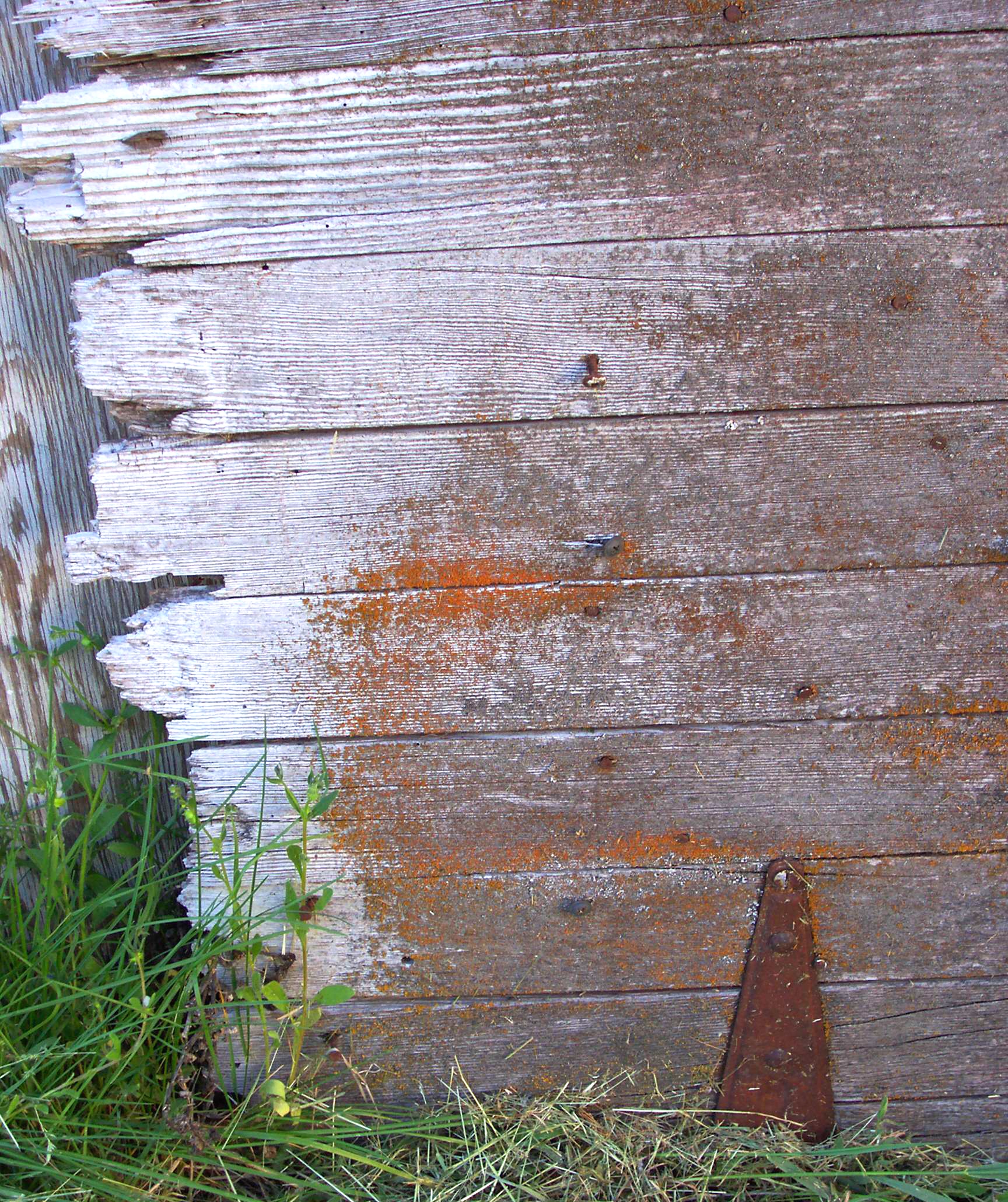
Fence Detail I (Jagged Edge)
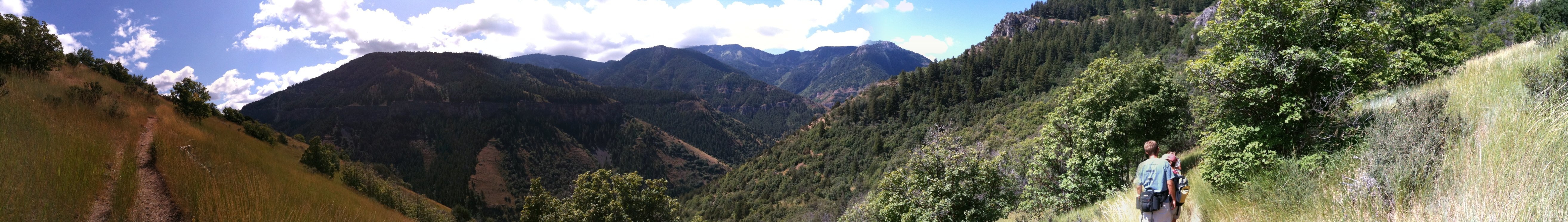
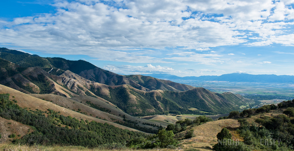
Panoramic view from the hike up Wind Cave Trail in Logan

Good Morning White Pines
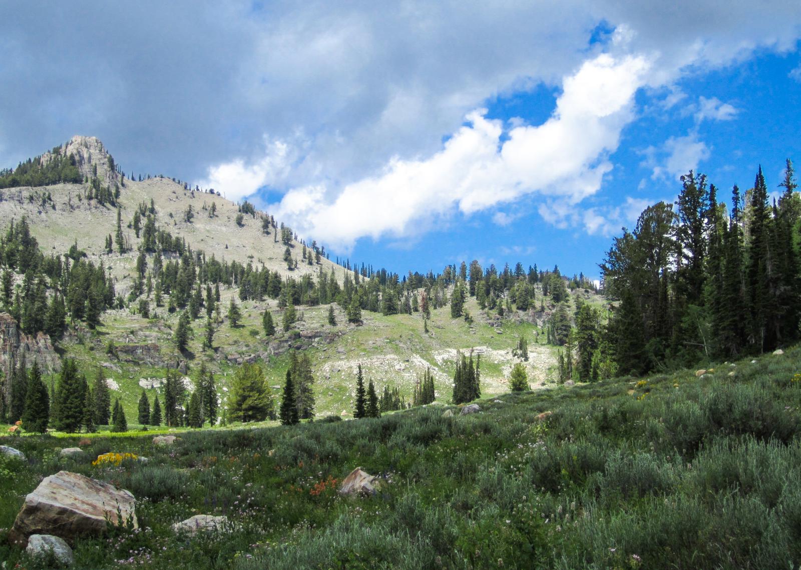
Mount Magog
Across the Valley
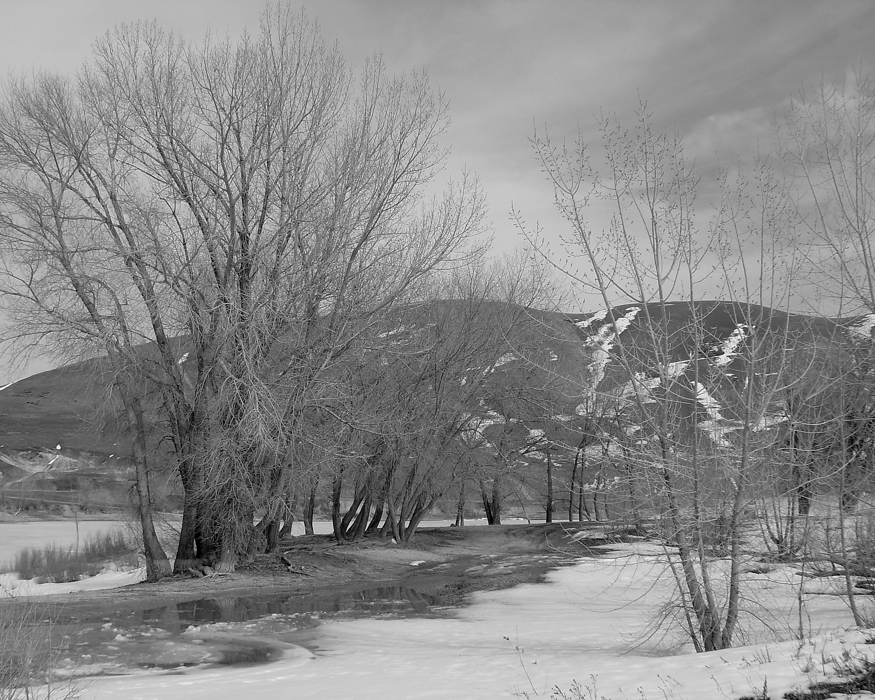
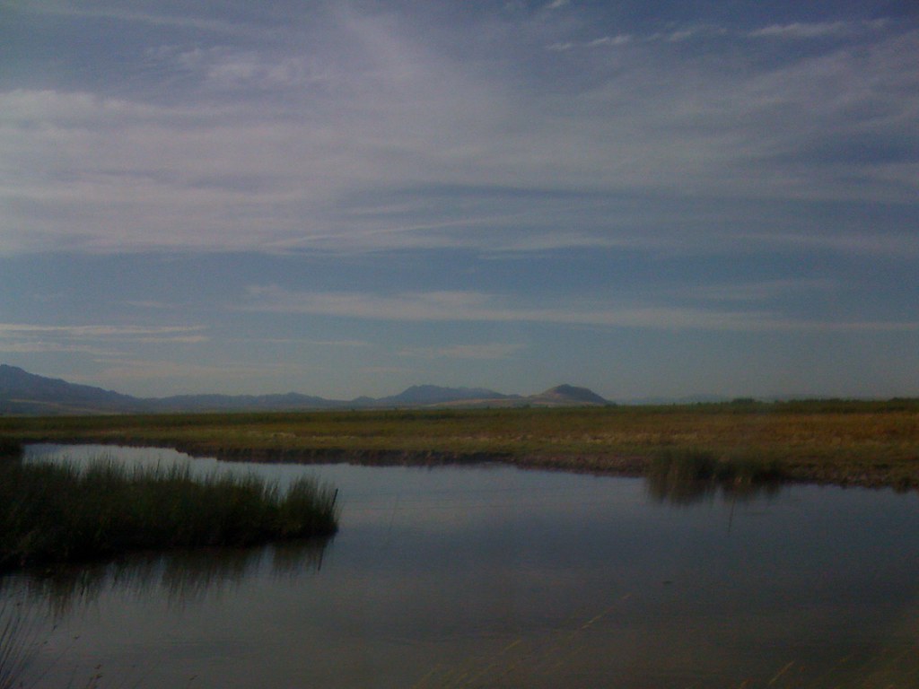
Newton Reservoir. Box Elder County, Utah

Common Redpoll #57
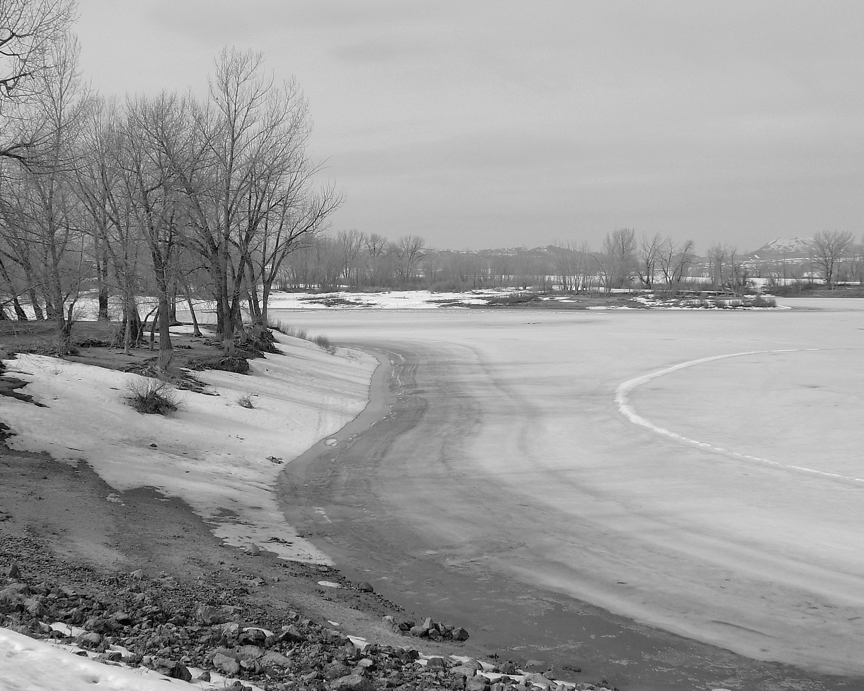
Newton Reservoir. Box Elder County, Utah
Dinner with a view
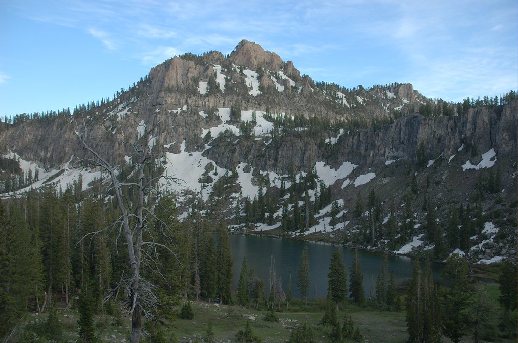
Mt Gog rises above the northern edge of White Pine Lake
Trenton, Utah
Smithfield Canyon - Utah, USA
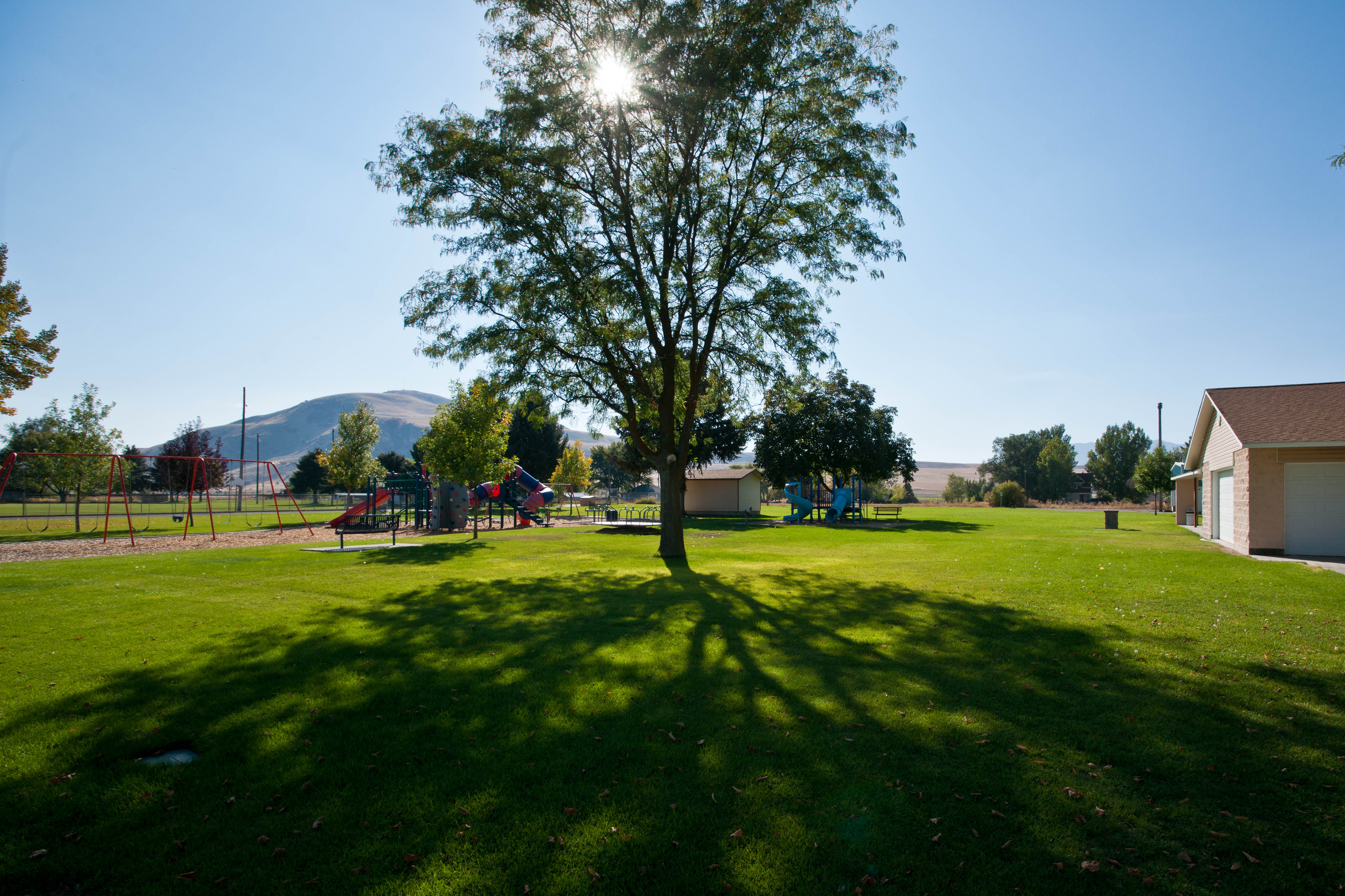
I live in a pretty place.
IMG_1794.JPG

White Pine Lake Trail. Bear River Mountains, Utah
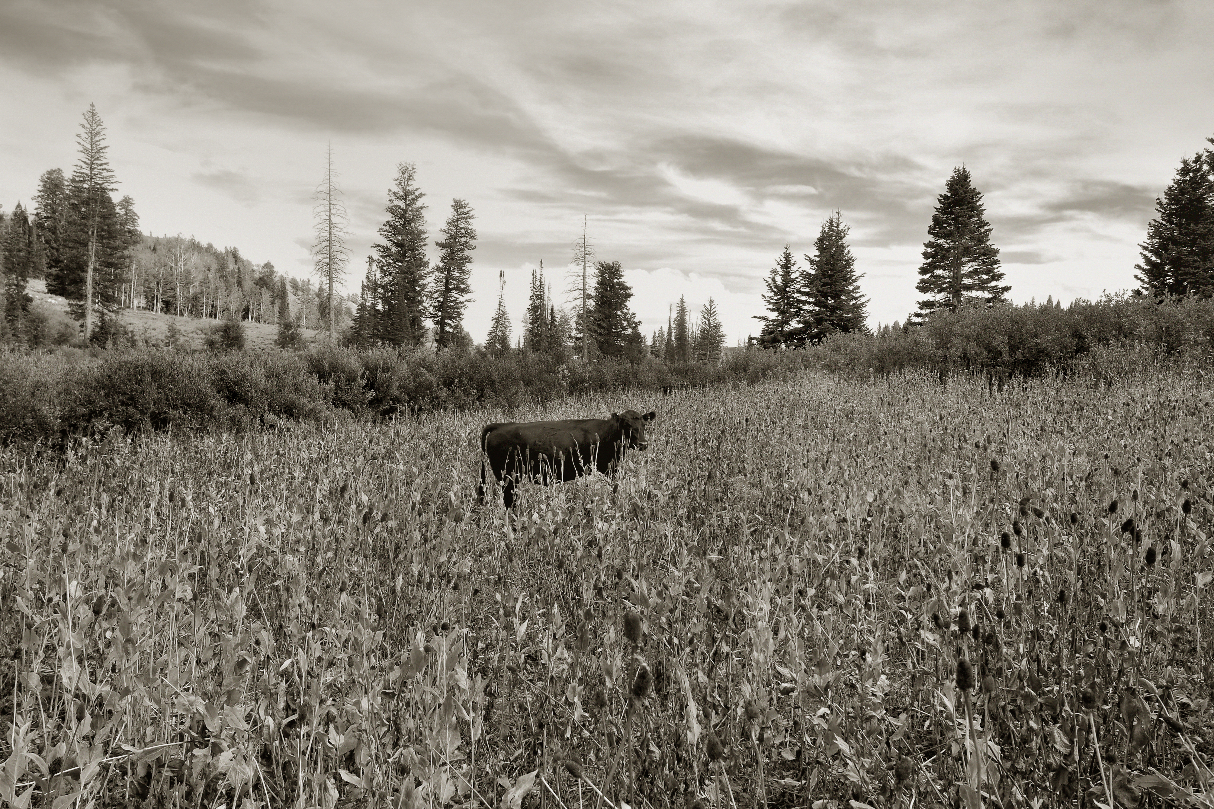
Invasive Species. Bear River Mountains, Utah
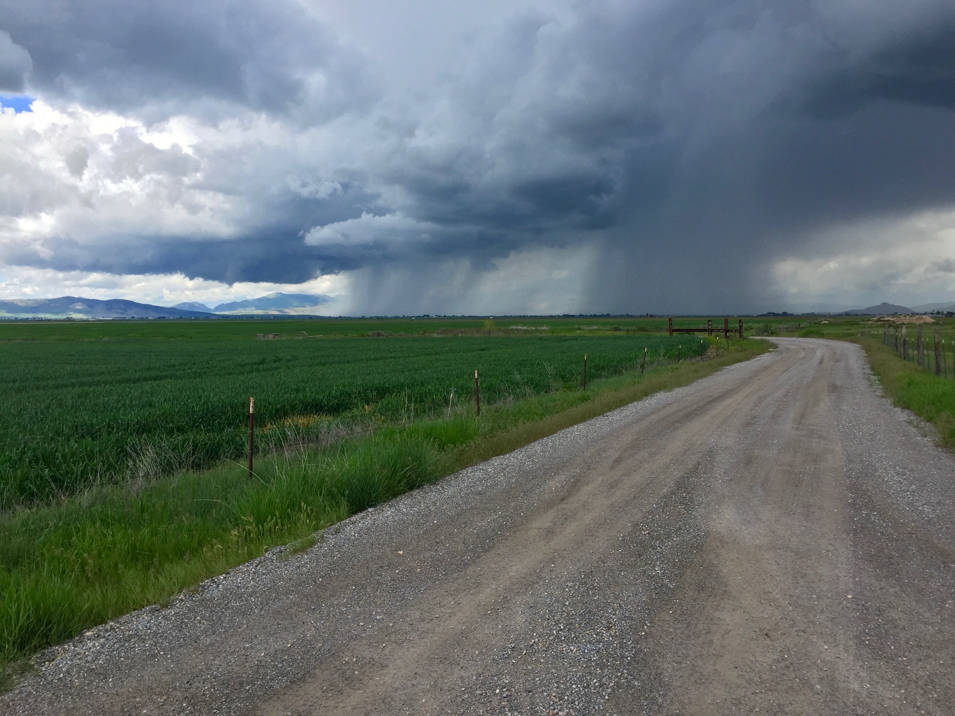
It Is Coming
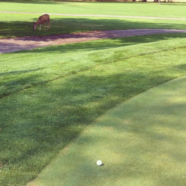
Doe, a deer
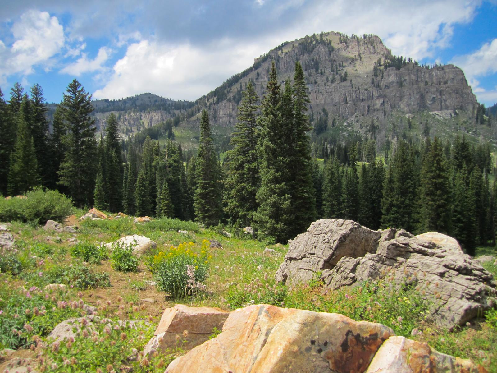
Bear River Mountains, Utah
Tony Grove Lake
Tony Grove Lake
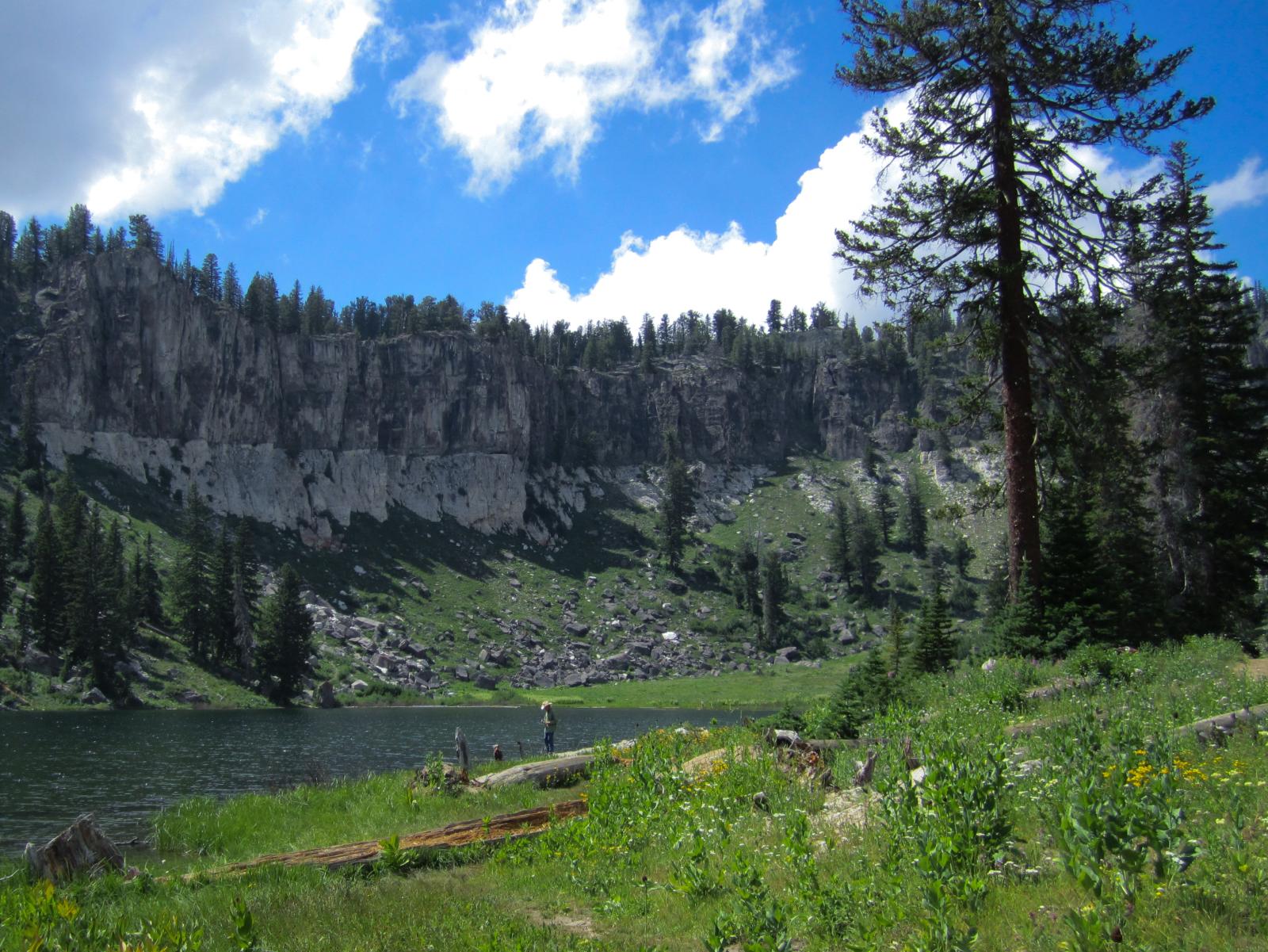
Fisherman on the shore of White Pine Lake

White Pine Lake Trail. Bear River Mountains, Utah
Cache National Forest along the White Pine Lake Trail
Tony Grove Lake. Bear River Mountains, Utah
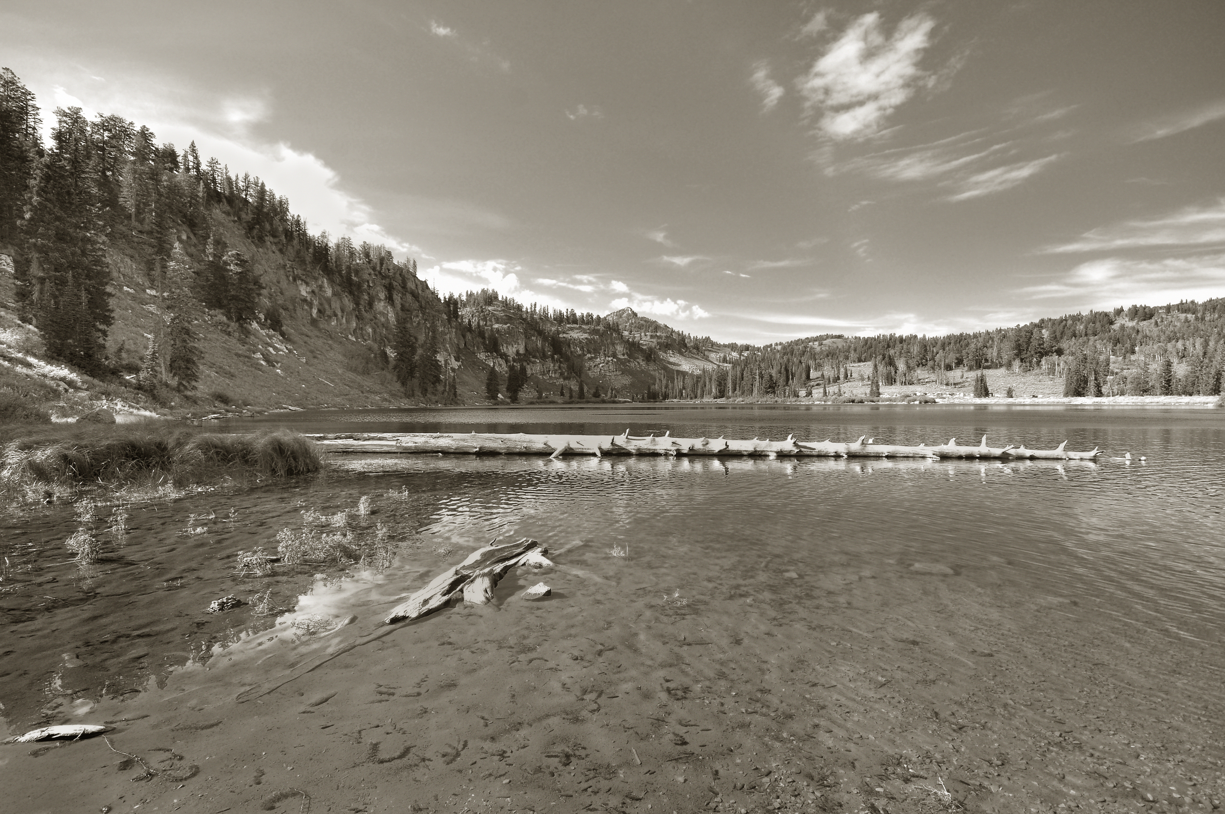
Fall Reflections

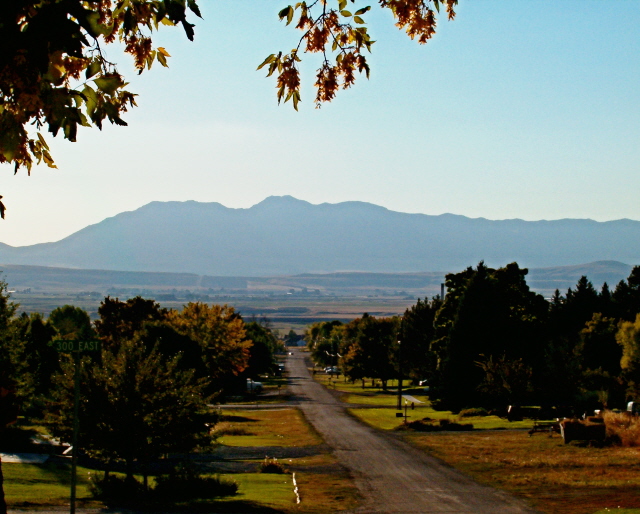
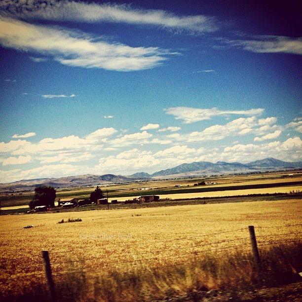
Cache Valley
Topographic Map of Cove, UT, USA
Find elevation by address:

Places near Cove, UT, USA:
Franklin
43 Fairview-Franklin Rd, Preston, ID, USA
E Cub River Rd, Franklin, ID, USA
298 Hillside Dr
760 Summit Dr
129 N 100 W
Smithfield
99 N Main St, Smithfield, UT, USA
5363 E Cub River Rd
325 S 300 E
698 S 180 E
Trenton
Trenton
20 State Rte, Trenton, UT, USA
House Of Pop
8 S State St, Preston, ID, USA
Preston
369 W 800 S
245 N 100 E
101 N 760 E
Recent Searches:
- Elevation of Corso Fratelli Cairoli, 35, Macerata MC, Italy
- Elevation of Tallevast Rd, Sarasota, FL, USA
- Elevation of 4th St E, Sonoma, CA, USA
- Elevation of Black Hollow Rd, Pennsdale, PA, USA
- Elevation of Oakland Ave, Williamsport, PA, USA
- Elevation of Pedrógão Grande, Portugal
- Elevation of Klee Dr, Martinsburg, WV, USA
- Elevation of Via Roma, Pieranica CR, Italy
- Elevation of Tavkvetili Mountain, Georgia
- Elevation of Hartfords Bluff Cir, Mt Pleasant, SC, USA