Elevation of Telegraph Flat, Idaho, USA
Location: United States > Idaho > Franklin County > Preston >
Longitude: -111.58354
Latitude: 42.1574264
Elevation: 2456m / 8058feet
Barometric Pressure: 75KPa
Elevation Map:
Satellite Map:
Related Photos:

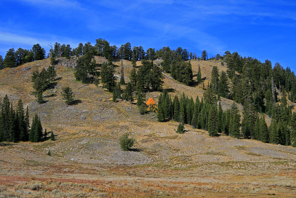
Virga over Bear River Range

Worm Lake. June 1976. Bear River Range mountains.

Minnetonka Cave

East Canyon Bear Lake
Lonely Colour

Fall Dead Heads

Blue Pond Spring

Paris springs

Bear Lake

bloomington lake 1

Minnetonka Cave

Minnetonka Cave

20170823-2262.jpg

Minnetonka Cave

Minnetonka Cave
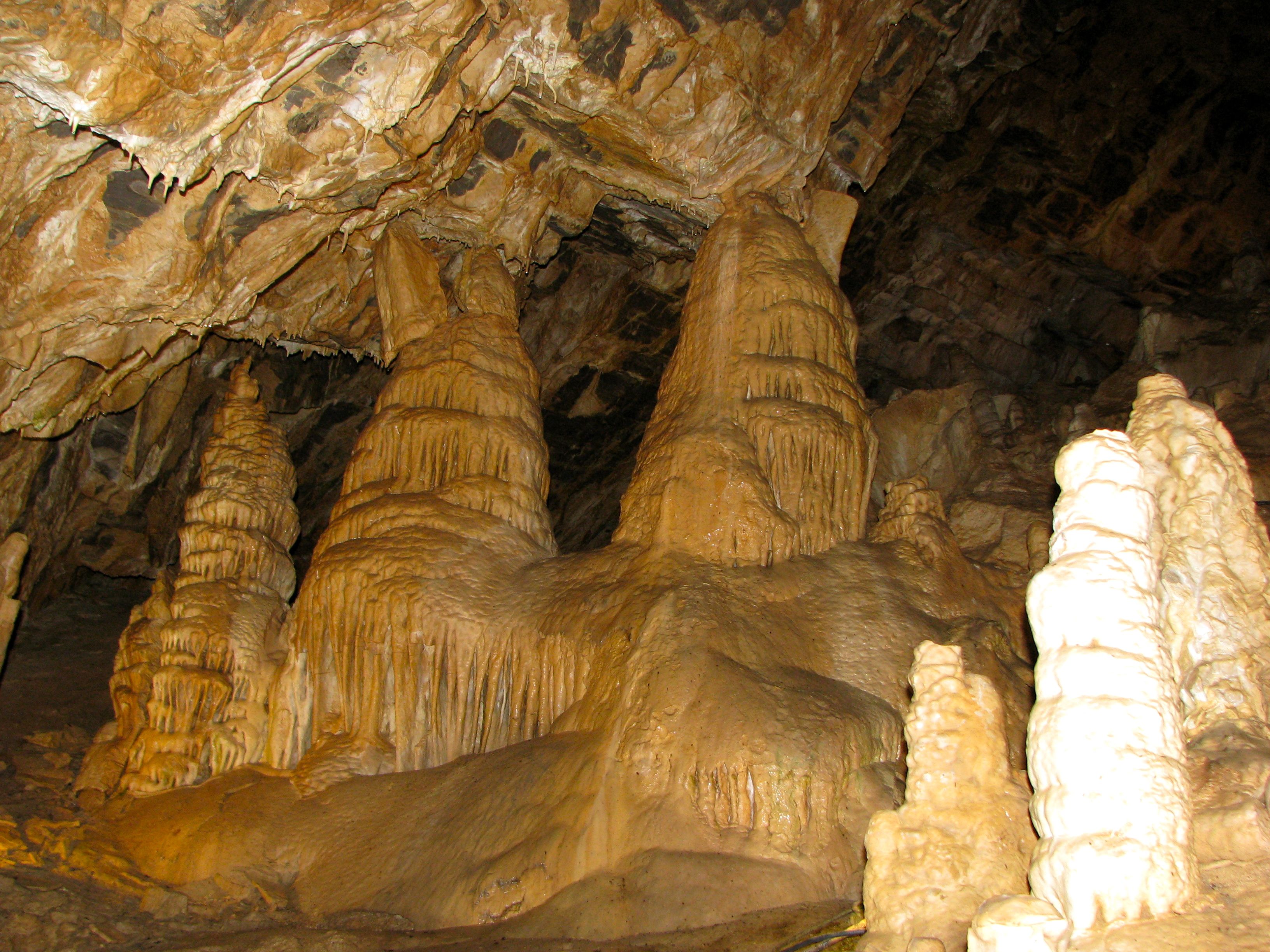
Minnetonka Cave

Minnetonka Cave

Minnetonka Cave
Topographic Map of Telegraph Flat, Idaho, USA
Find elevation by address:

Places near Telegraph Flat, Idaho, USA:
Cloverleaf Campground
Preston, ID, USA
6688 E Cub River Rd
5363 E Cub River Rd
2262 Reserve Dr
Beaver Mountain Ski Area
Cold Springs Drive
Saint Charles
379 Cold Springs Dr
Beaver Creek Lodge
Fish Haven
US-89, Fish Haven, ID, USA
E Cub River Rd, Franklin, ID, USA
Bear Lake Summit
Franklin
Bear Lake
Garden City
Cove
Preston
8 S State St, Preston, ID, USA
Recent Searches:
- Elevation of Corso Fratelli Cairoli, 35, Macerata MC, Italy
- Elevation of Tallevast Rd, Sarasota, FL, USA
- Elevation of 4th St E, Sonoma, CA, USA
- Elevation of Black Hollow Rd, Pennsdale, PA, USA
- Elevation of Oakland Ave, Williamsport, PA, USA
- Elevation of Pedrógão Grande, Portugal
- Elevation of Klee Dr, Martinsburg, WV, USA
- Elevation of Via Roma, Pieranica CR, Italy
- Elevation of Tavkvetili Mountain, Georgia
- Elevation of Hartfords Bluff Cir, Mt Pleasant, SC, USA