Elevation map of Pondera County, MT, USA
Location: United States > Montana >
Longitude: -112.2886317
Latitude: 48.2321517
Elevation: 1200m / 3937feet
Barometric Pressure: 0KPa
Related Photos:

Approaching Glacier (detail)
Approaching Glacier
Valier, Montana 59486
First piece of bike porn

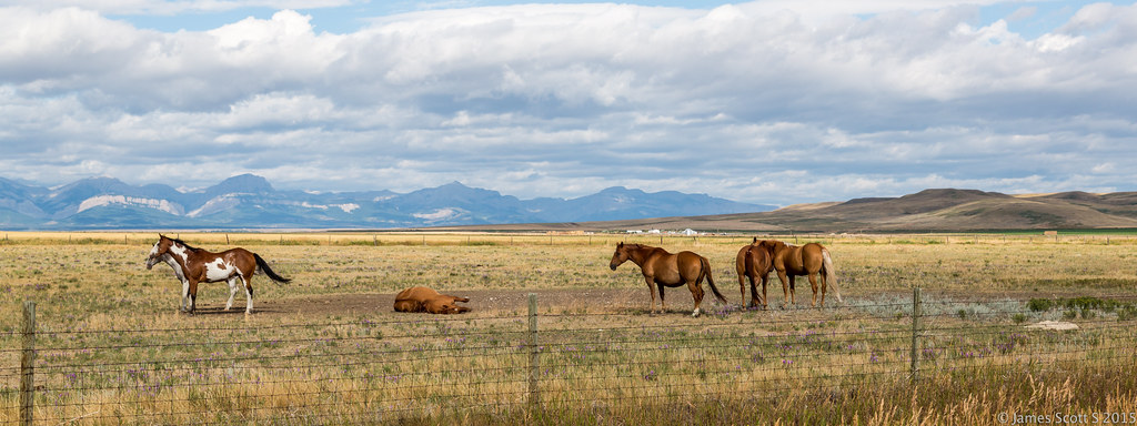
Highway Views

Rocky Mountain Homestead

P1140826.jpg
IMGP4894-2

20130905-16502021

The Hay Bail
20150726 5DIII Glacier National Park 29
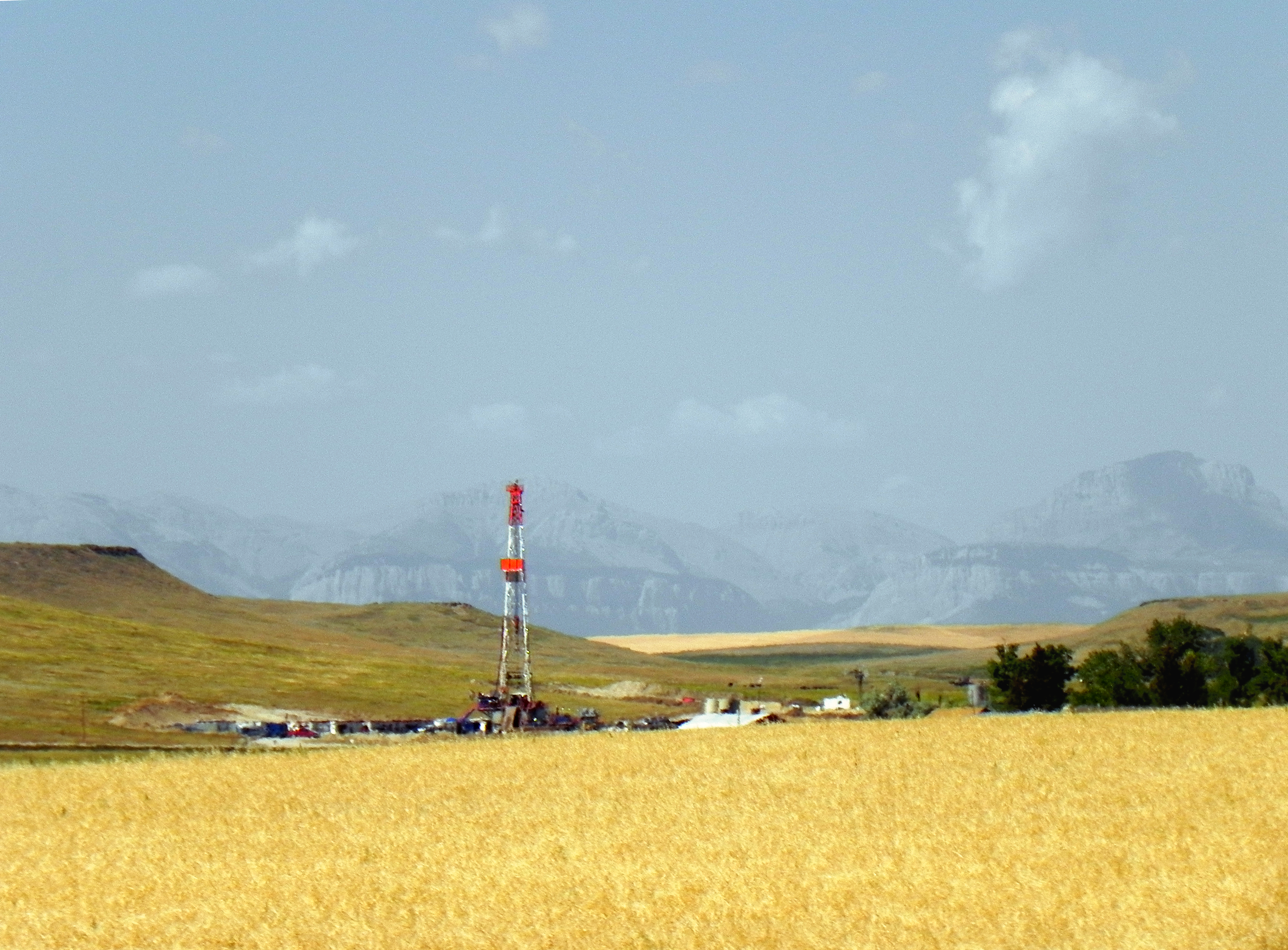
Sedimentary Basin
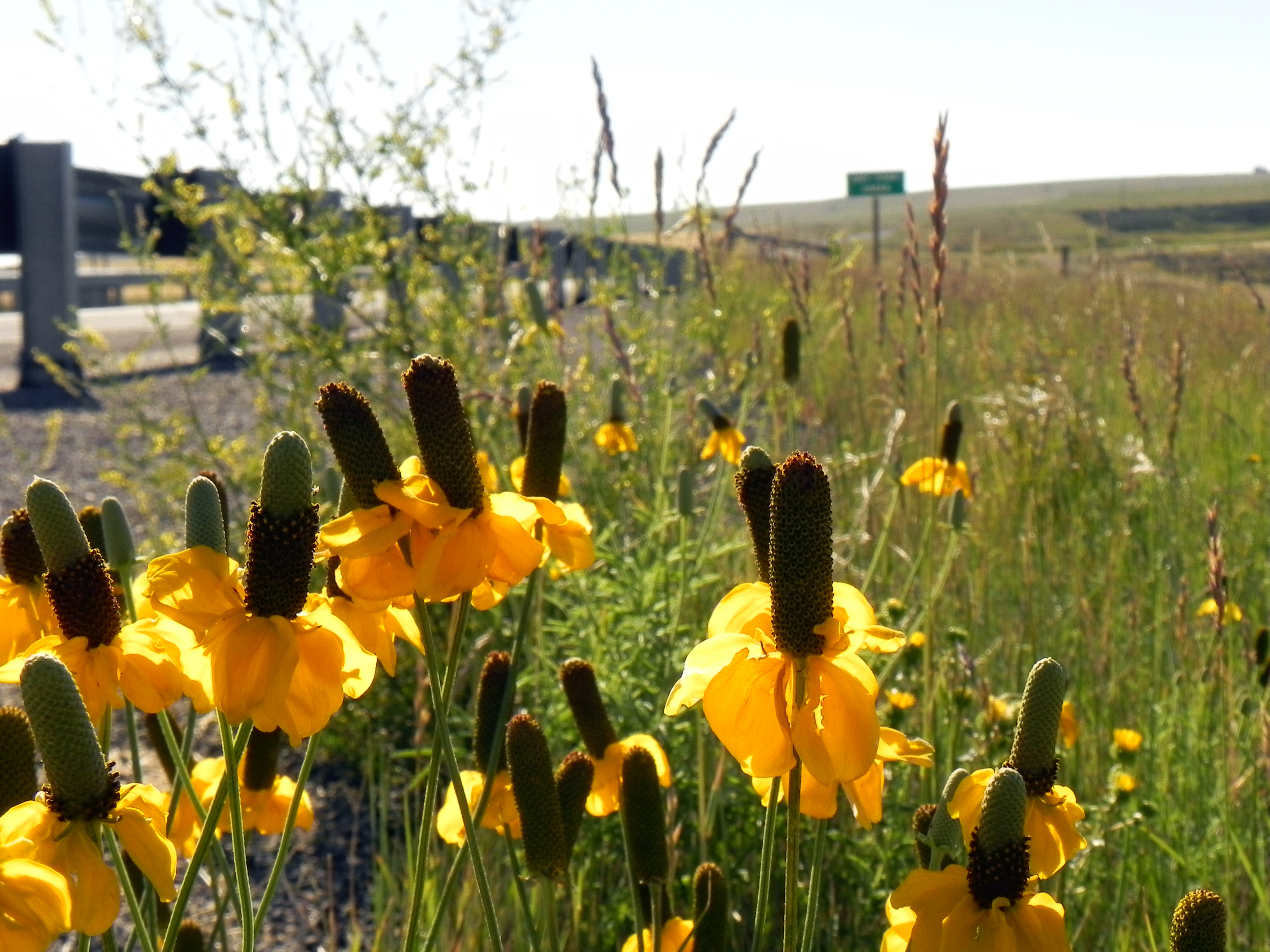
Ratibida columnifera
Topographic Map of Pondera County, MT, USA
Find elevation by address:

Places in Pondera County, MT, USA:
Brady
Mount Richmond
Pondera County Hp
Family Peak
Mount Poia
Morningstar Mountain
Spotted Eagle Mountain
Elbow Mountain
Lookout Ridge South
Little Plume Peak
Half Dome Crag
Running Owl Mountain
Bullshoe Mountain
Running Crane Mountain
Big Lodge Mountain
Major Steele Backbone
Feather Woman Mountain
Heart Butte
Conrad
Goat Mountain
Places near Pondera County, MT, USA:
Pendroy
Teton County
Conrad
620 1st St Se
Cut Bank
21 Luedtke Rd
81 Luedtke Rd
Brady
US-2, Shelby, MT, USA
1948 W Roosevelt Hwy
O'haire Manor Motel Of Shelby
Shelby
Potter Rd, Shelby, MT, USA
Welker Farms
Tipville Rd, Cut Bank, MT, USA
Oilmont
Sunburst
Toole County
Sweet Grass
64 1st Ave
Recent Searches:
- Elevation of Denver, 2314, Arapahoe Street, Five Points, Denver, Colorado, 80205, USA
- Elevation of Community of the Beatitudes, 2924, West 43rd Avenue, Sunnyside, Denver, Colorado, 80211, USA
- Elevation map of Litang County, Sichuan, China
- Elevation map of Madoi County, Qinghai, China
- Elevation of 3314, Ohio State Route 114, Payne, Paulding County, Ohio, 45880, USA
- Elevation of Sarahills Drive, Saratoga, Santa Clara County, California, 95070, USA
- Elevation of Town of Bombay, Franklin County, New York, USA
- Elevation of 9, Convent Lane, Center Moriches, Suffolk County, New York, 11934, USA
- Elevation of Saint Angelas Convent, 9, Convent Lane, Center Moriches, Suffolk County, New York, 11934, USA
- Elevation of 131st Street Southwest, Mukilteo, Snohomish County, Washington, 98275, USA
- Elevation of 304, Harrison Road, Naples, Cumberland County, Maine, 04055, USA
- Elevation of 2362, Timber Ridge Road, Harrisburg, Cabarrus County, North Carolina, 28075, USA
- Elevation of Ridge Road, Marshalltown, Marshall County, Iowa, 50158, USA
- Elevation of 2459, Misty Shadows Drive, Pigeon Forge, Sevier County, Tennessee, 37862, USA
- Elevation of 8043, Brightwater Way, Spring Hill, Williamson County, Tennessee, 37179, USA
- Elevation of Starkweather Road, San Luis, Costilla County, Colorado, 81152, USA
- Elevation of 5277, Woodside Drive, Baton Rouge, East Baton Rouge Parish, Louisiana, 70808, USA
- Elevation of 1139, Curtin Street, Shepherd Park Plaza, Houston, Harris County, Texas, 77018, USA
- Elevation of 136, Sellers Lane, Repton, Monroe County, Alabama, 36475, USA
- Elevation of 12914, Elmington Drive, Lakewood Forest, Houston, Harris County, Texas, 77429, USA