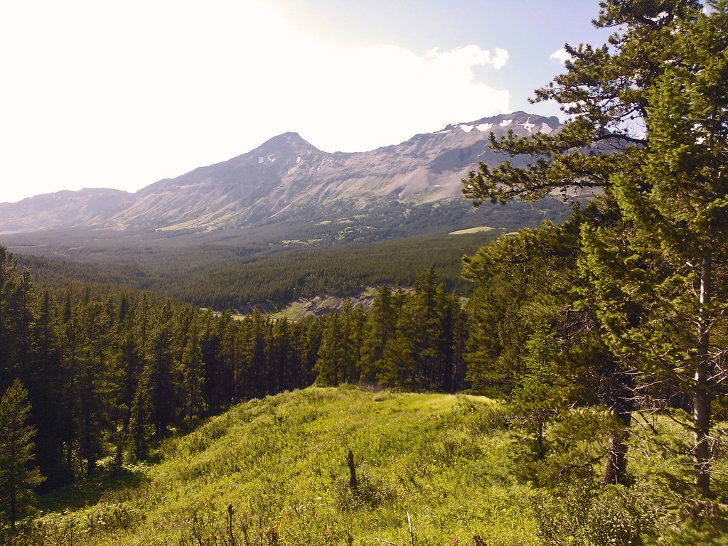
Elevation of Bullshoe Mountain, Montana, USA
Location: United States > Montana > Pondera County >
Longitude: -113.2256412
Latitude: 48.2252386
Elevation: 2405m / 7890feet
Barometric Pressure: 0KPa
Related Photos:
Hiking in Montana

Beaver Pond
Topographic Map of Bullshoe Mountain, Montana, USA
Find elevation by address:

Places near Bullshoe Mountain, Montana, USA:
Running Crane Mountain
Slippery Bill Mountain North
Slippery Bill Mountain South
Crescent Cliff
Big Lodge Mountain
Square Mountain
Elkcalf Mountain
Two Medicine Ridge East
Patrol Ridge
Summit Trailhead
Many Glacier Hotel
16900 Us-2
171 Slippery Bill Rd
252 Slippery Bill Rd
Blacktail
Devils Hump
Forster Mountain
Mount Furlong
Vinegar Mountain
Snowslip Mountain
Recent Searches:
- Elevation of Pasing, Munich, Bavaria, 81241, Germany
- Elevation of 24, Auburn Bay Crescent SE, Auburn Bay, Calgary, Alberta, T3M 0A6, Canada
- Elevation of Denver, 2314, Arapahoe Street, Five Points, Denver, Colorado, 80205, USA
- Elevation of Community of the Beatitudes, 2924, West 43rd Avenue, Sunnyside, Denver, Colorado, 80211, USA
- Elevation map of Litang County, Sichuan, China
- Elevation map of Madoi County, Qinghai, China
- Elevation of 3314, Ohio State Route 114, Payne, Paulding County, Ohio, 45880, USA
- Elevation of Sarahills Drive, Saratoga, Santa Clara County, California, 95070, USA
- Elevation of Town of Bombay, Franklin County, New York, USA
- Elevation of 9, Convent Lane, Center Moriches, Suffolk County, New York, 11934, USA
- Elevation of Saint Angelas Convent, 9, Convent Lane, Center Moriches, Suffolk County, New York, 11934, USA
- Elevation of 131st Street Southwest, Mukilteo, Snohomish County, Washington, 98275, USA
- Elevation of 304, Harrison Road, Naples, Cumberland County, Maine, 04055, USA
- Elevation of 2362, Timber Ridge Road, Harrisburg, Cabarrus County, North Carolina, 28075, USA
- Elevation of Ridge Road, Marshalltown, Marshall County, Iowa, 50158, USA
- Elevation of 2459, Misty Shadows Drive, Pigeon Forge, Sevier County, Tennessee, 37862, USA
- Elevation of 8043, Brightwater Way, Spring Hill, Williamson County, Tennessee, 37179, USA
- Elevation of Starkweather Road, San Luis, Costilla County, Colorado, 81152, USA
- Elevation of 5277, Woodside Drive, Baton Rouge, East Baton Rouge Parish, Louisiana, 70808, USA
- Elevation of 1139, Curtin Street, Shepherd Park Plaza, Houston, Harris County, Texas, 77018, USA