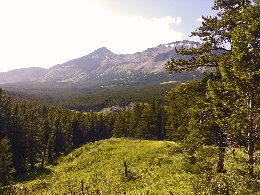
Elevation of Running Owl Mountain, Montana, USA
Location: United States > Montana > Pondera County >
Longitude: -113.19508
Latitude: 48.2244052
Elevation: 2386m / 7828feet
Barometric Pressure: 76KPa
Elevation Map:
Satellite Map:
Related Photos:
Hiking in Montana
Topographic Map of Running Owl Mountain, Montana, USA
Find elevation by address:

Places near Running Owl Mountain, Montana, USA:
Bullshoe Mountain
Running Crane Mountain
Goat Mountain
Big Lodge Mountain
Crescent Cliff
Slippery Bill Mountain South
Slippery Bill Mountain North
Elbow Mountain
Two Medicine Ridge East
Square Mountain
Elkcalf Mountain
Half Dome Crag
Spotted Eagle Mountain
Red Plume Mountain
Morningstar Mountain
False Summit
Summit Trailhead
Patrol Ridge
Many Glacier Hotel
16900 Us-2
Recent Searches:
- Elevation of Corso Fratelli Cairoli, 35, Macerata MC, Italy
- Elevation of Tallevast Rd, Sarasota, FL, USA
- Elevation of 4th St E, Sonoma, CA, USA
- Elevation of Black Hollow Rd, Pennsdale, PA, USA
- Elevation of Oakland Ave, Williamsport, PA, USA
- Elevation of Pedrógão Grande, Portugal
- Elevation of Klee Dr, Martinsburg, WV, USA
- Elevation of Via Roma, Pieranica CR, Italy
- Elevation of Tavkvetili Mountain, Georgia
- Elevation of Hartfords Bluff Cir, Mt Pleasant, SC, USA