Elevation of Half Dome Crag, Montana, USA
Location: United States > Montana > Pondera County >
Longitude: -113.07952
Latitude: 48.2707964
Elevation: 2419m / 7936feet
Barometric Pressure: 75KPa
Elevation Map:
Satellite Map:
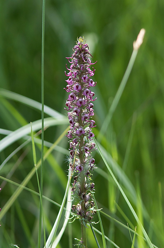
Related Photos:
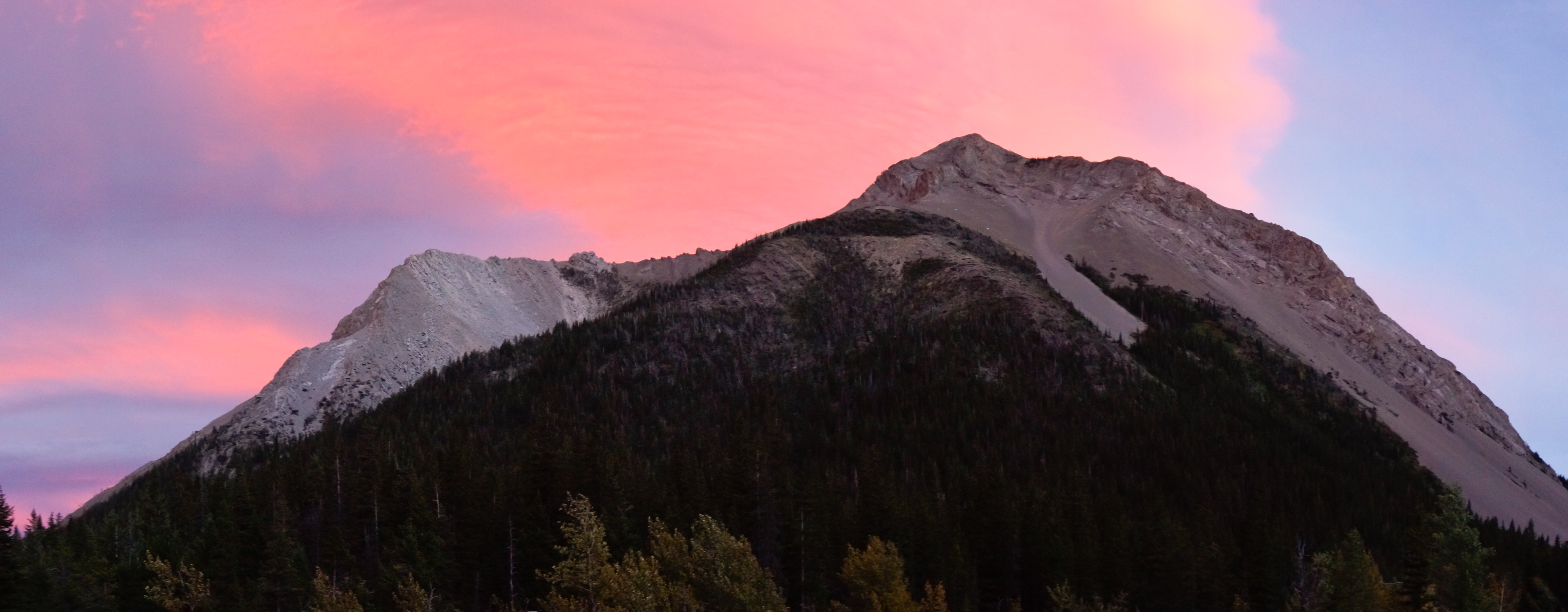
Sunset and Mount Richmond

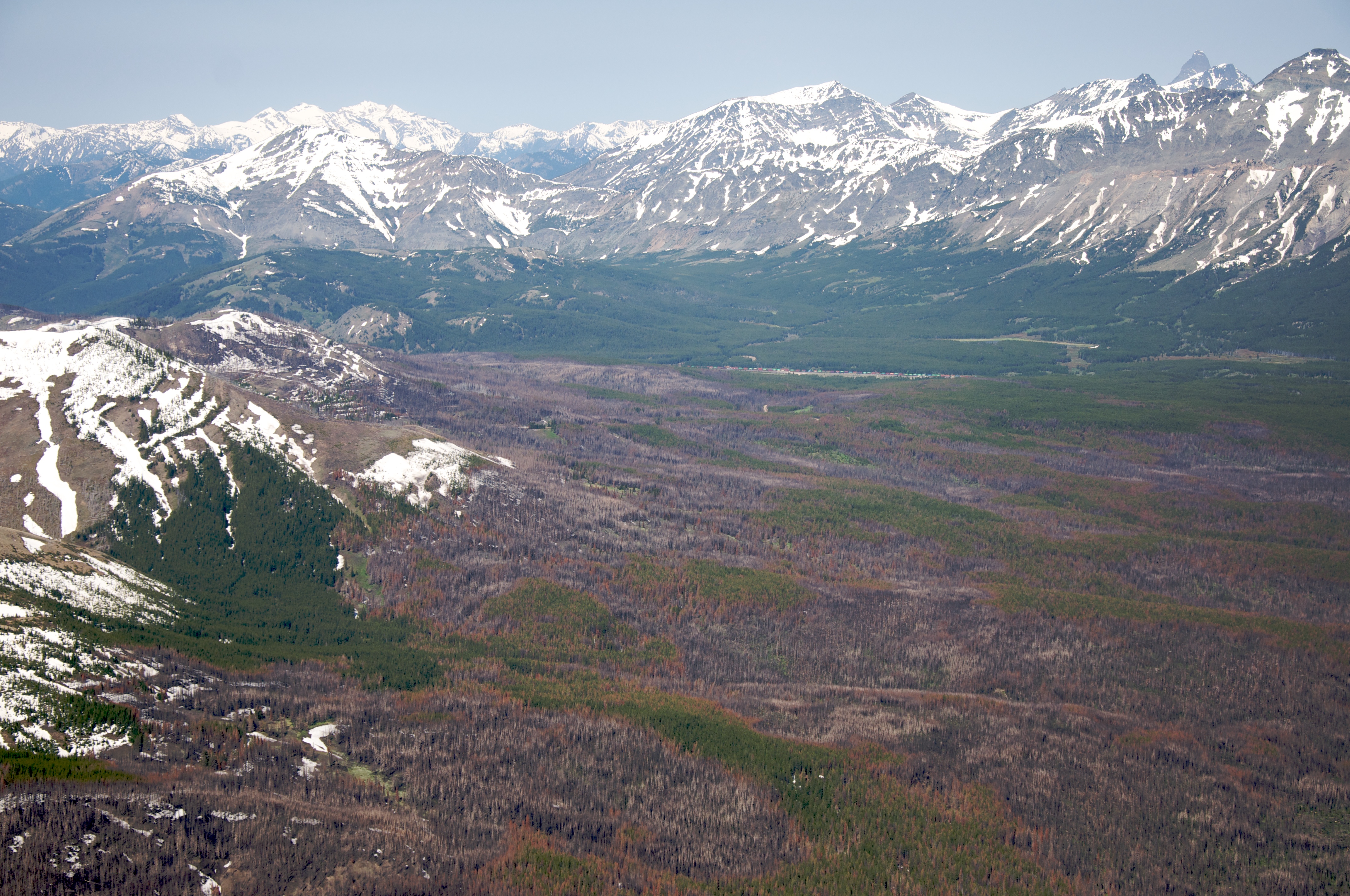
Sunset in the North Fork Birch Creek Valley
Huge forest fires
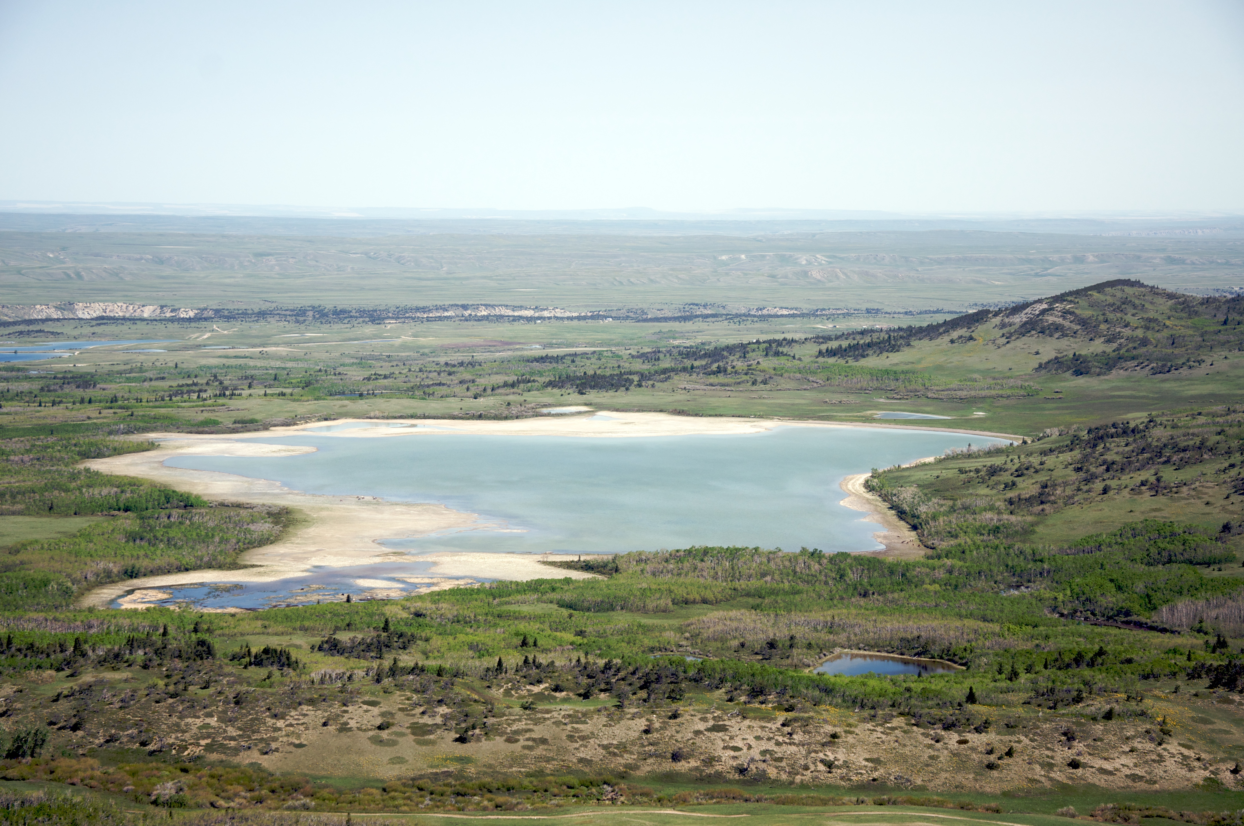
A lake west of Heart Butte, Montana
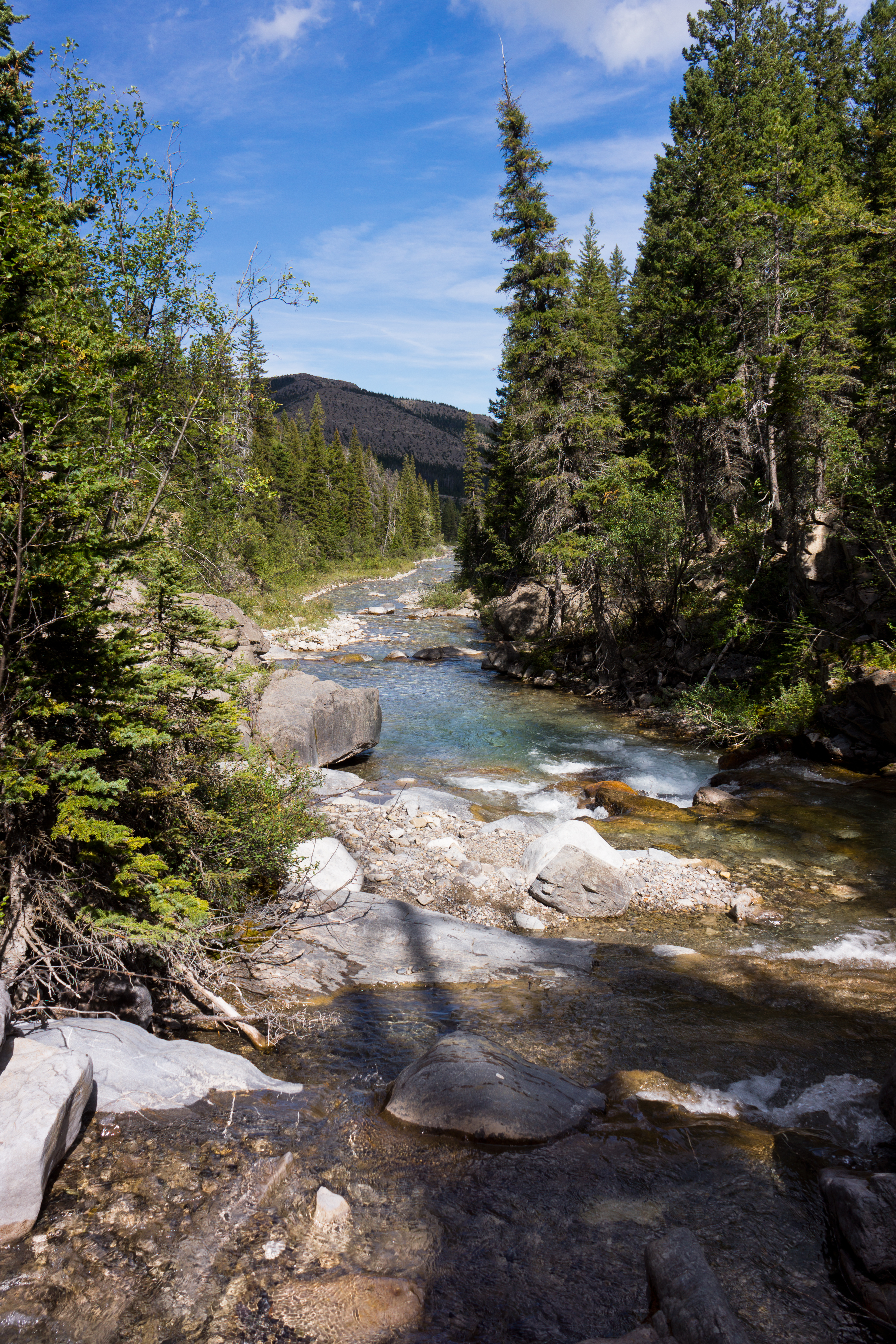
North Fork Birch Creek
elephanthead-blackfeetreservation-6-23-15-tl-1-cropscreen
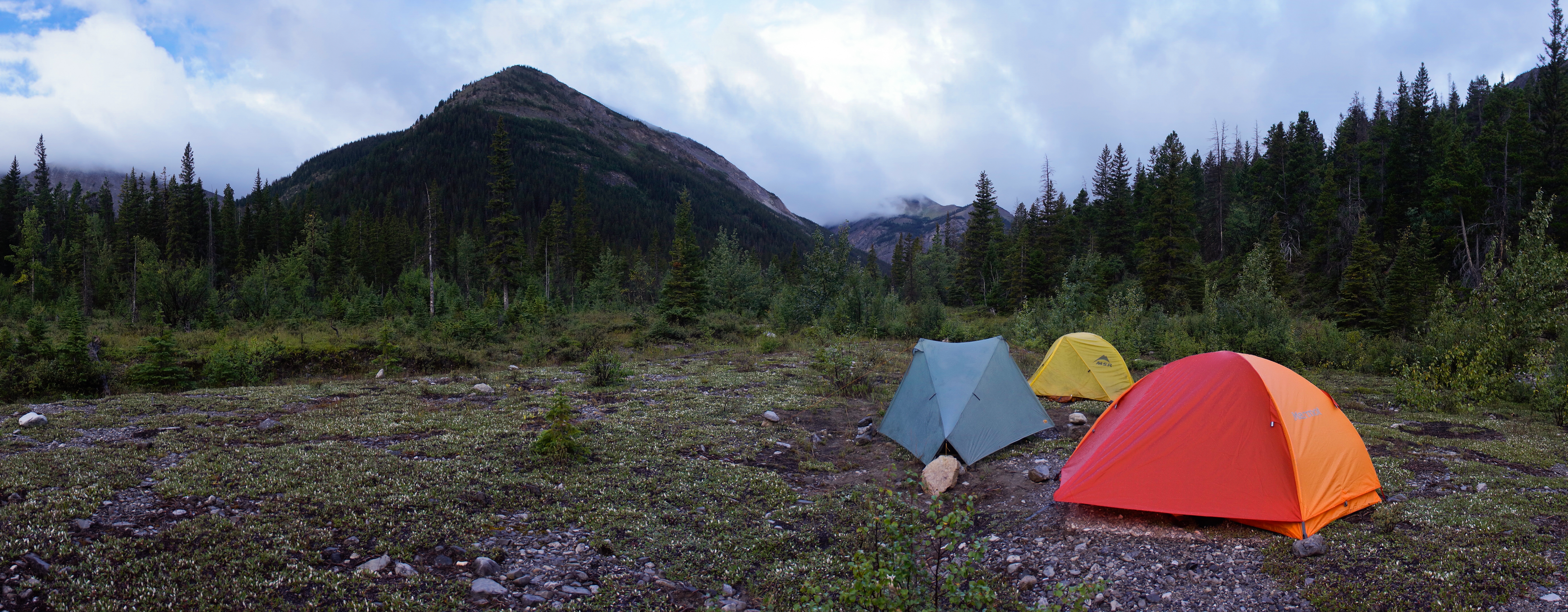
Camp Looking Up the North Fork of Birch Creek
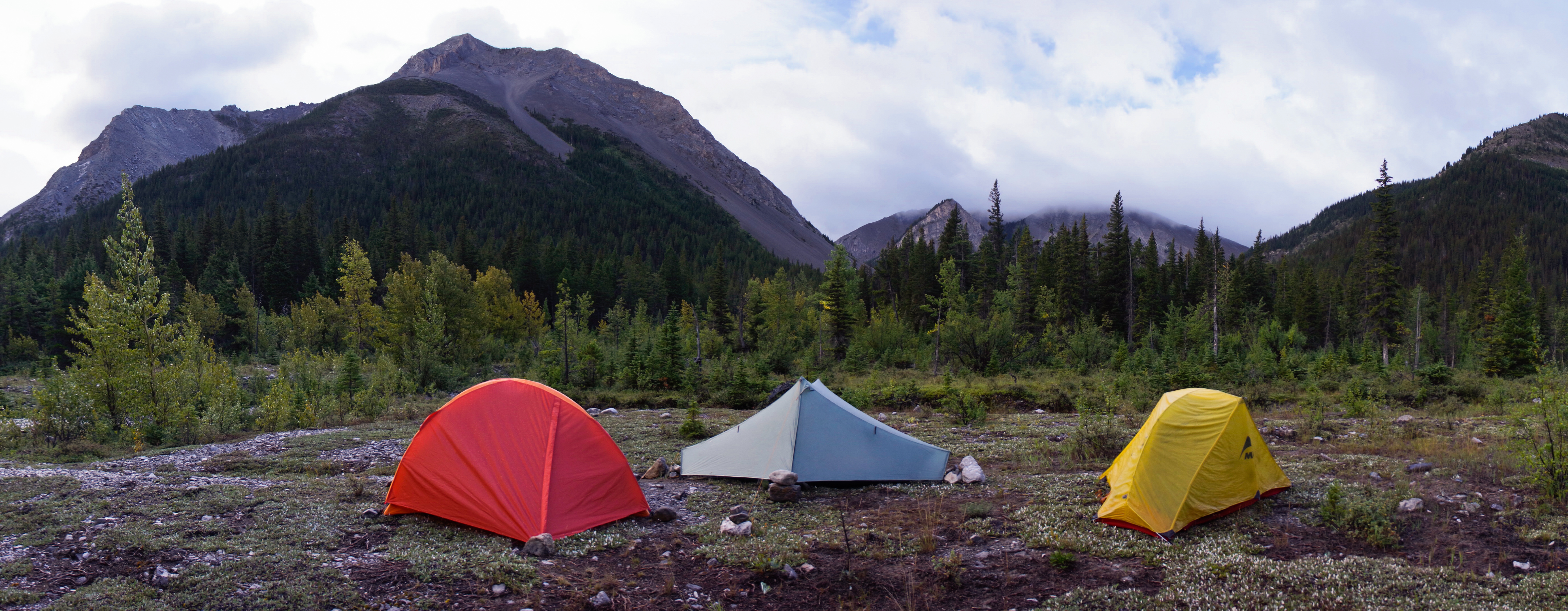
Camp at Blind Creek-North Fork Birch Creek Confuluence
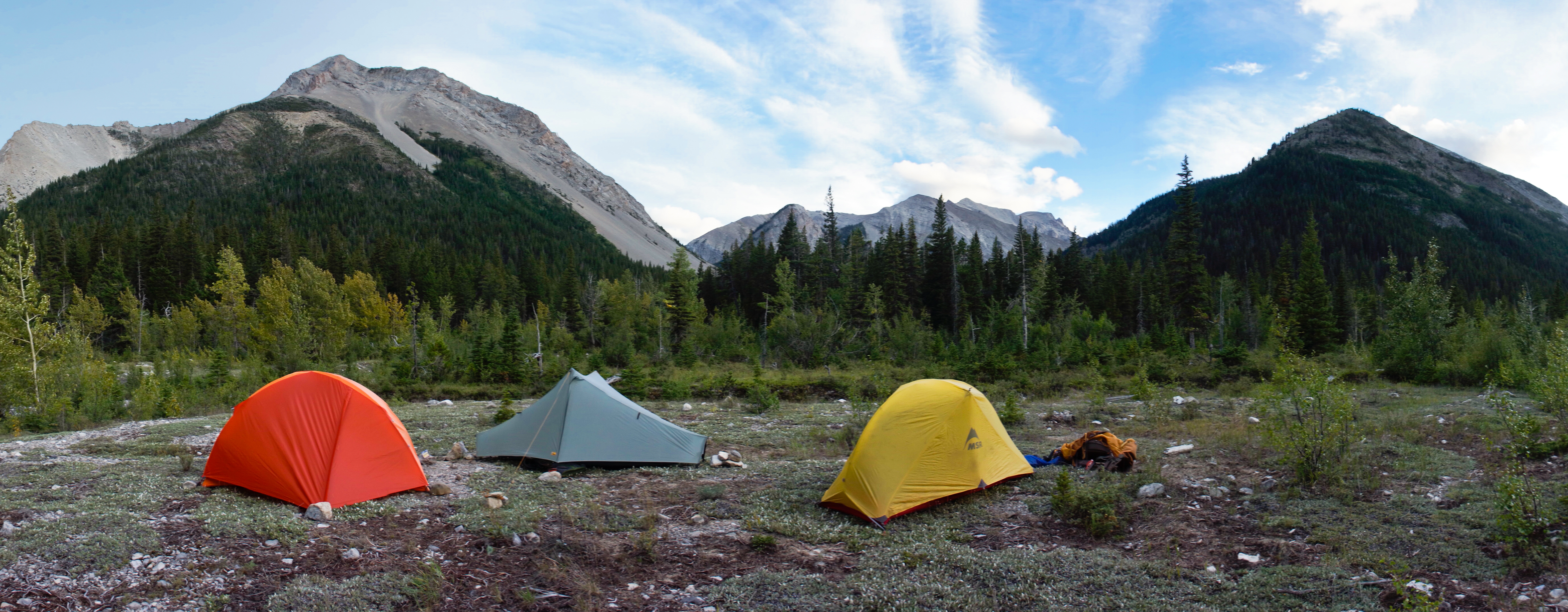
Camp Looking Up Blind Creek
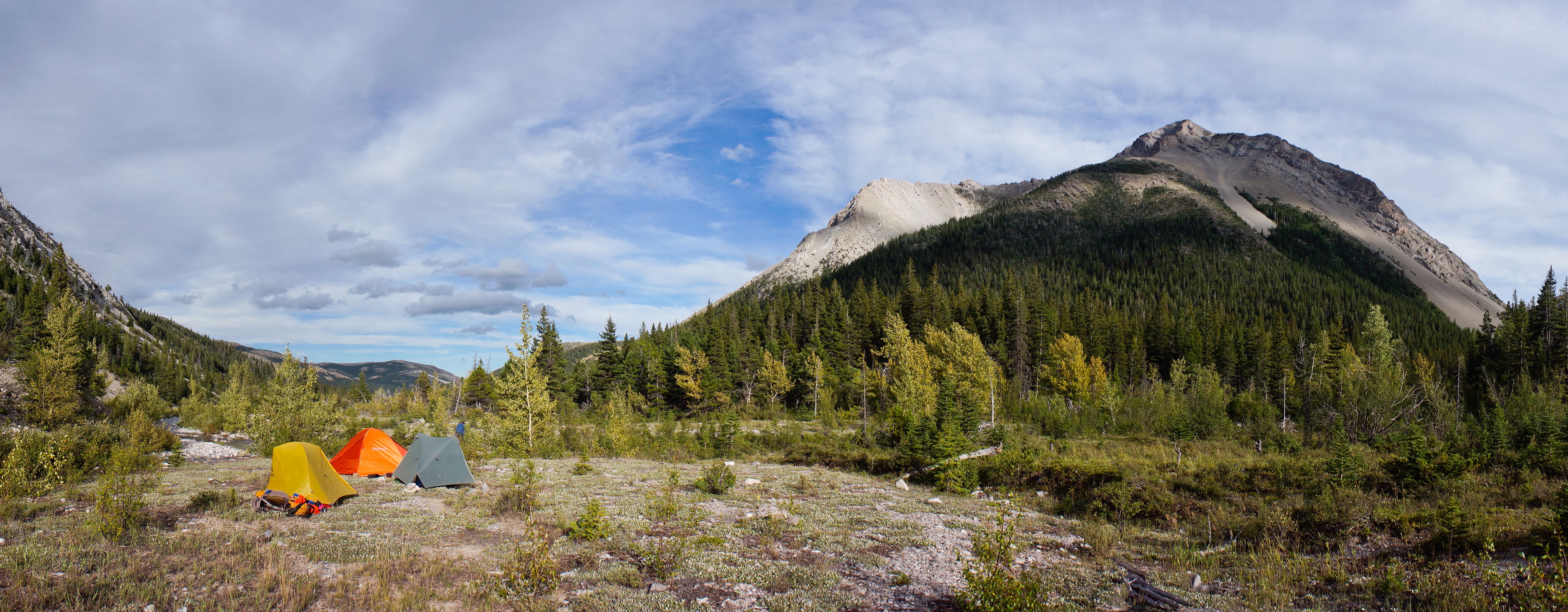
Camp Looking Down the North Fork Birch Creek
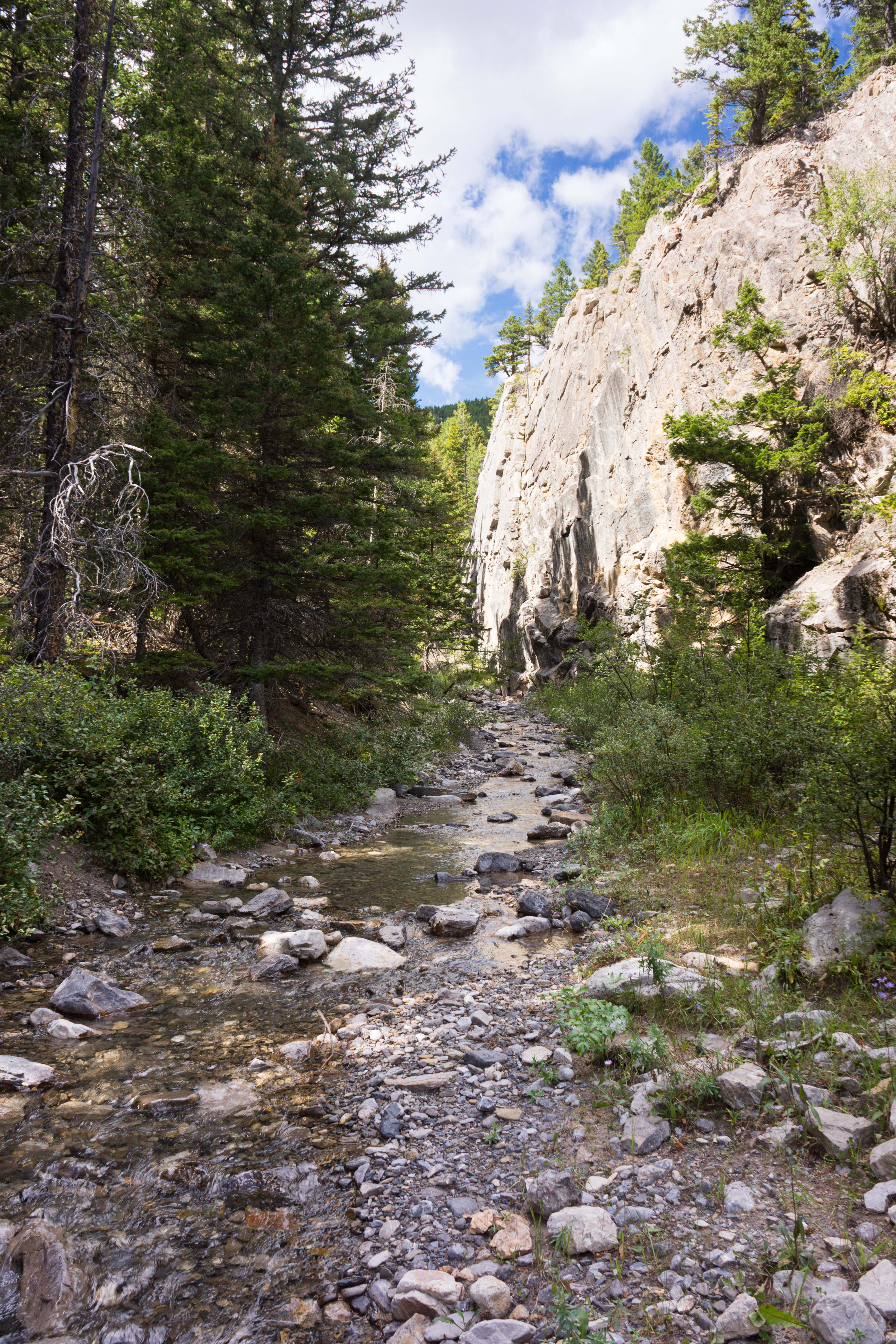
Killem Horse Creek Canyon

48.2699, -113.0425
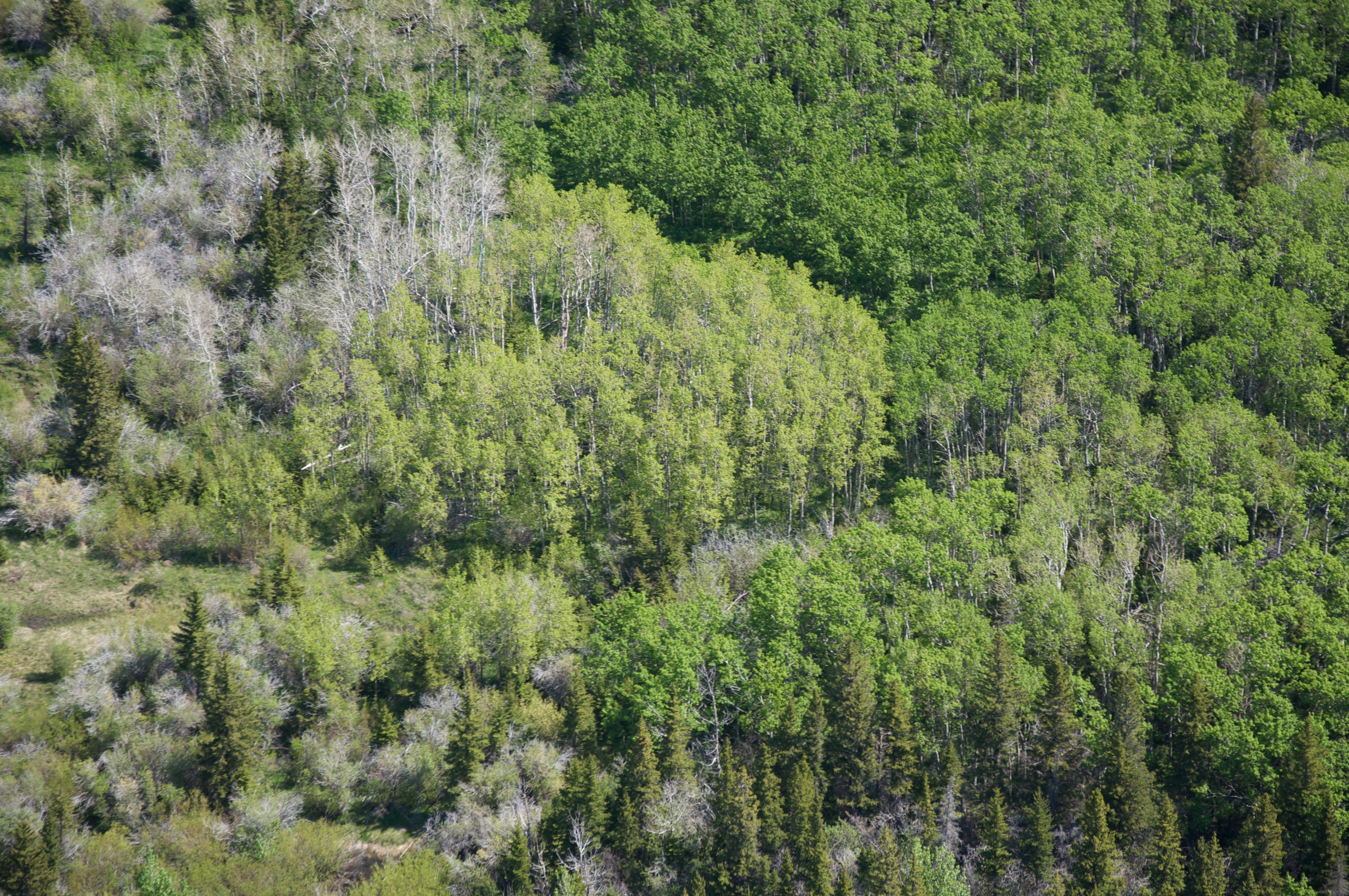
Front range forest

GNP: Boredom
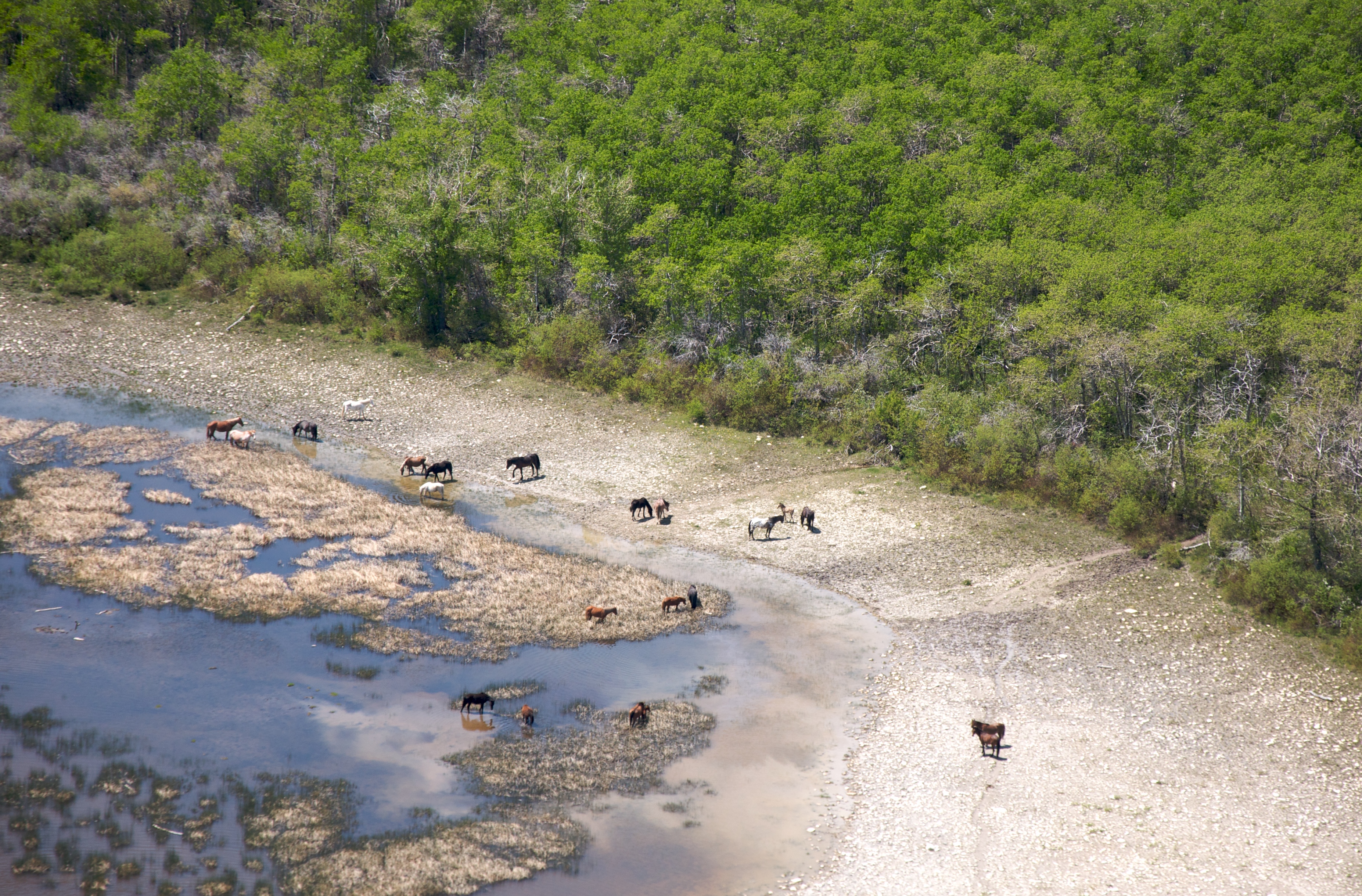
More horses on the Blackfeet
Topographic Map of Half Dome Crag, Montana, USA
Find elevation by address:

Places near Half Dome Crag, Montana, USA:
Little Plume Peak
Goat Mountain
Lookout Ridge South
Spotted Eagle Mountain
Morningstar Mountain
Elbow Mountain
Mount Poia
Running Owl Mountain
Feather Woman Mountain
Family Peak
Two Medicine Ridge East
Bullshoe Mountain
Major Steele Backbone
Running Crane Mountain
Pondera County Hp
Big Lodge Mountain
Crescent Cliff
Mount Richmond
Slippery Bill Mountain South
Slippery Bill Mountain North
Recent Searches:
- Elevation of Corso Fratelli Cairoli, 35, Macerata MC, Italy
- Elevation of Tallevast Rd, Sarasota, FL, USA
- Elevation of 4th St E, Sonoma, CA, USA
- Elevation of Black Hollow Rd, Pennsdale, PA, USA
- Elevation of Oakland Ave, Williamsport, PA, USA
- Elevation of Pedrógão Grande, Portugal
- Elevation of Klee Dr, Martinsburg, WV, USA
- Elevation of Via Roma, Pieranica CR, Italy
- Elevation of Tavkvetili Mountain, Georgia
- Elevation of Hartfords Bluff Cir, Mt Pleasant, SC, USA