Elevation of Pelona Mountain, New Mexico, USA
Location: United States > New Mexico > Datil >
Longitude: -108.10616
Latitude: 33.6764488
Elevation: 2706m / 8878feet
Barometric Pressure: 73KPa
Elevation Map:
Satellite Map:
Related Photos:
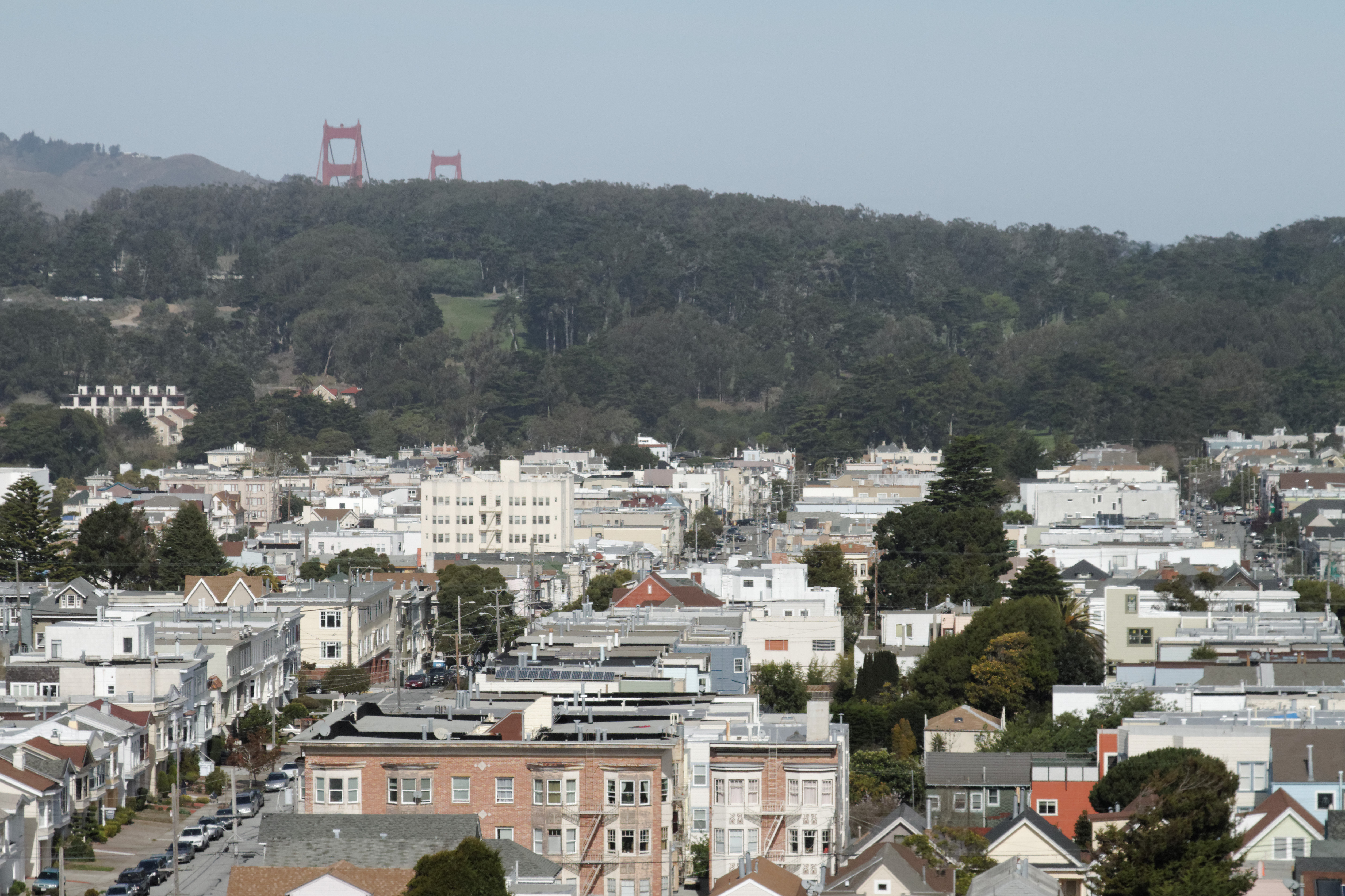
Looking north from the top of the HM de Young museum
Topographic Map of Pelona Mountain, New Mexico, USA
Find elevation by address:

Places near Pelona Mountain, New Mexico, USA:
Coyote Peak
East Elk Mountain
West Beaver Point
Wahoo Peak
Patterson Peak
Rock Springs Peak
Gila Visitor Center
Gila Cliff Dwellings National Monument
W Fork Rd, Mimbres, NM, USA
Gila Hot Springs Ranch
Upper Black Canyon Campground
Forks Campground
Iron Mountain
Diamond Peak
Hagins Peak
Welty Hill
Loco Hills A Hp
Reilly Peak
Chloride
Moccasin John Mountain
Recent Searches:
- Elevation of Corso Fratelli Cairoli, 35, Macerata MC, Italy
- Elevation of Tallevast Rd, Sarasota, FL, USA
- Elevation of 4th St E, Sonoma, CA, USA
- Elevation of Black Hollow Rd, Pennsdale, PA, USA
- Elevation of Oakland Ave, Williamsport, PA, USA
- Elevation of Pedrógão Grande, Portugal
- Elevation of Klee Dr, Martinsburg, WV, USA
- Elevation of Via Roma, Pieranica CR, Italy
- Elevation of Tavkvetili Mountain, Georgia
- Elevation of Hartfords Bluff Cir, Mt Pleasant, SC, USA