Elevation of Coyote Peak, New Mexico, USA
Location: United States > New Mexico > Datil >
Longitude: -108.26561
Latitude: 33.6497812
Elevation: 2449m / 8035feet
Barometric Pressure: 75KPa
Elevation Map:
Satellite Map:
Related Photos:
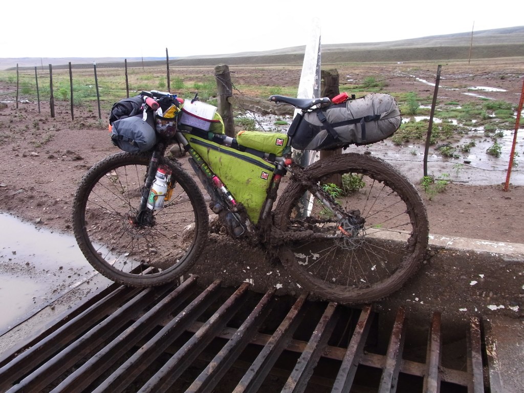
What fun…NOT!
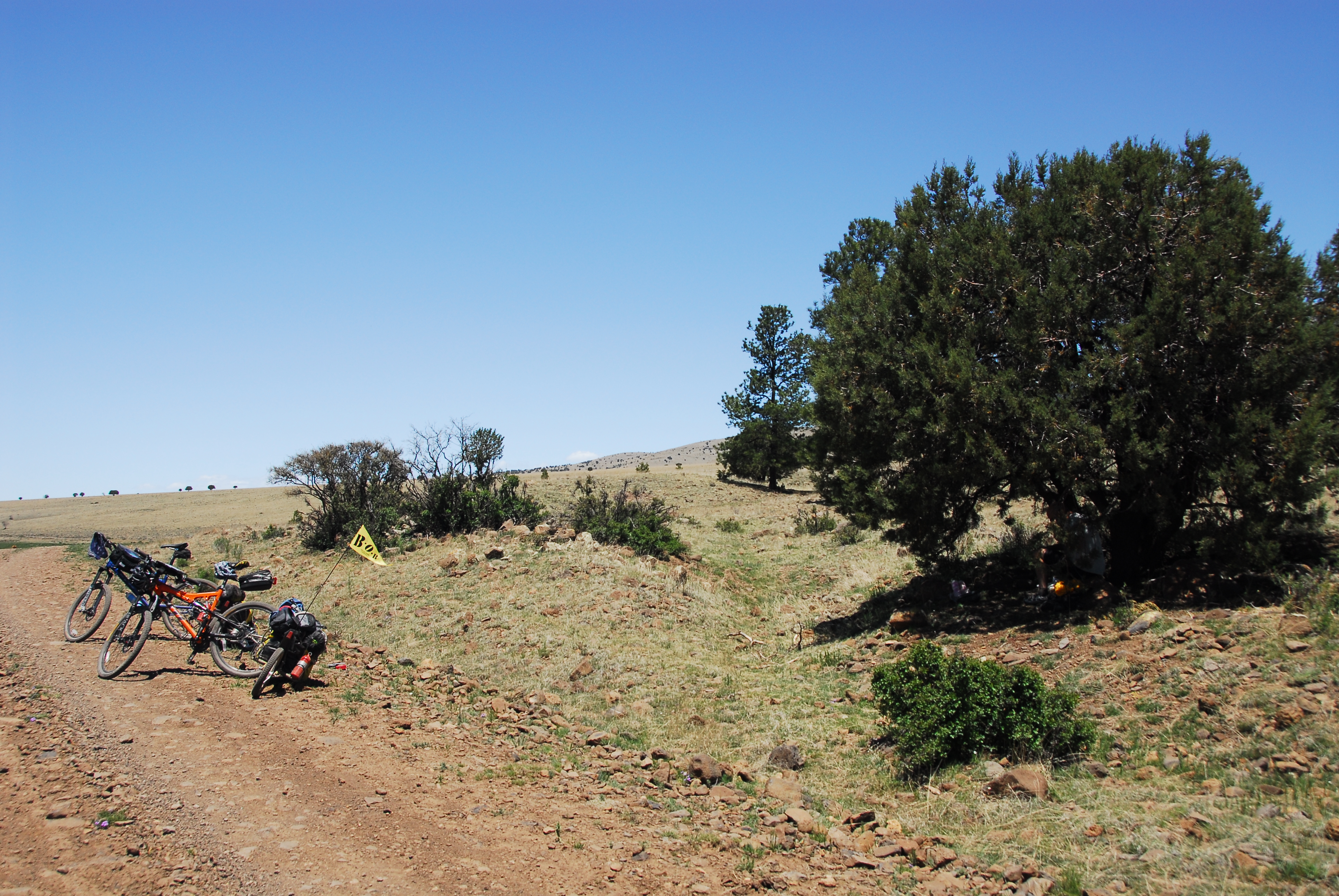
Lunch time picnic spot
Topographic Map of Coyote Peak, New Mexico, USA
Find elevation by address:

Places near Coyote Peak, New Mexico, USA:
East Elk Mountain
Pelona Mountain
West Beaver Point
Gila Cliff Dwellings National Monument
Gila Visitor Center
Gila Hot Springs Ranch
W Fork Rd, Mimbres, NM, USA
Forks Campground
Wahoo Peak
Upper Black Canyon Campground
Patterson Peak
Rock Springs Peak
Diamond Peak
Rocky Point
Grey Feathers Lodge & Restaurant
Lake Roberts
13 Mulberry Dr
Mesa Campground
Silver City, NM, USA
Hagins Peak
Recent Searches:
- Elevation of Corso Fratelli Cairoli, 35, Macerata MC, Italy
- Elevation of Tallevast Rd, Sarasota, FL, USA
- Elevation of 4th St E, Sonoma, CA, USA
- Elevation of Black Hollow Rd, Pennsdale, PA, USA
- Elevation of Oakland Ave, Williamsport, PA, USA
- Elevation of Pedrógão Grande, Portugal
- Elevation of Klee Dr, Martinsburg, WV, USA
- Elevation of Via Roma, Pieranica CR, Italy
- Elevation of Tavkvetili Mountain, Georgia
- Elevation of Hartfords Bluff Cir, Mt Pleasant, SC, USA