Elevation of West Beaver Point, New Mexico, USA
Location: United States > New Mexico > Magdalena >
Longitude: -108.16305
Latitude: 33.3913888
Elevation: 2491m / 8173feet
Barometric Pressure: 75KPa
Elevation Map:
Satellite Map:
Related Photos:
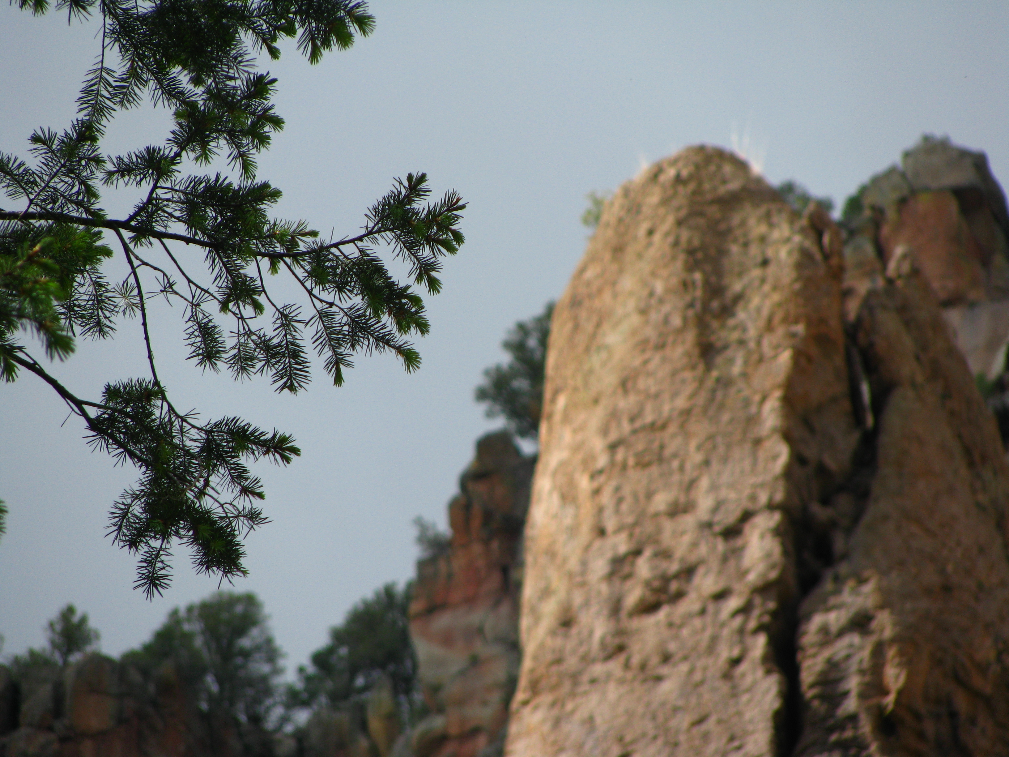
Gila Wilderness

RioG-141
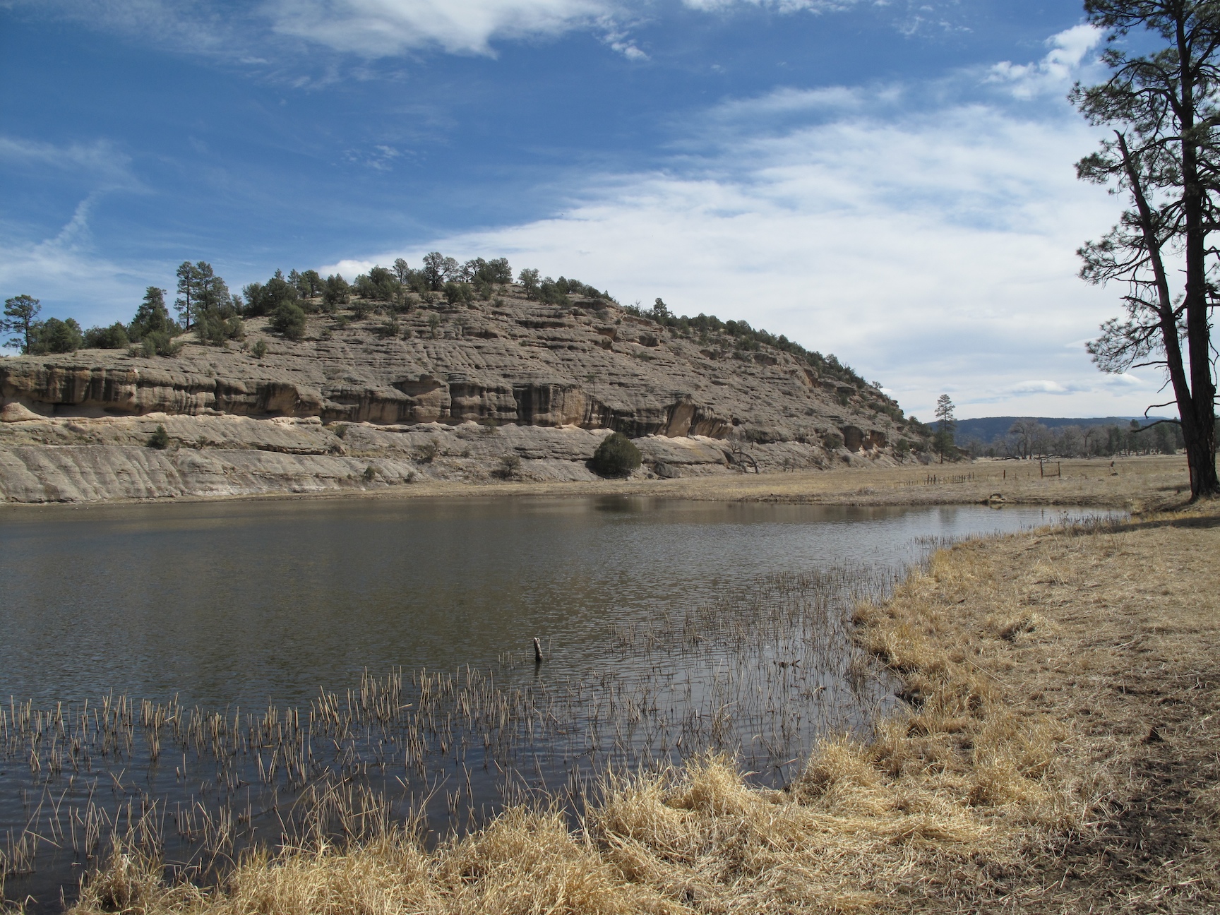
Wall Lake 2

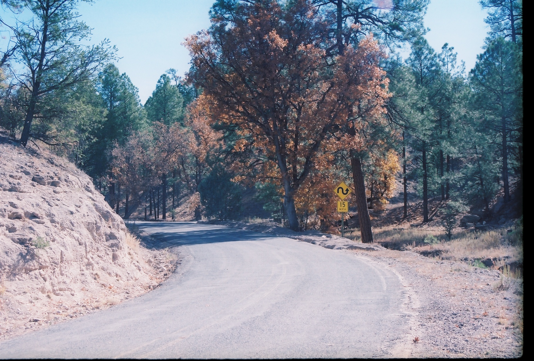
Taylor Creek Canyon

Vince's Catch
Gila National Forest, New Mexico
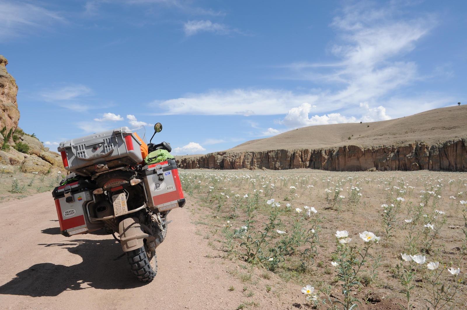
Fields of Flowers

Dad and Danny Lakeside

Fresh Catch of The Day

Dad and Danny

Joe and Vince

Rebar Waterfall

Joe & Spencer

Spencer & Mando
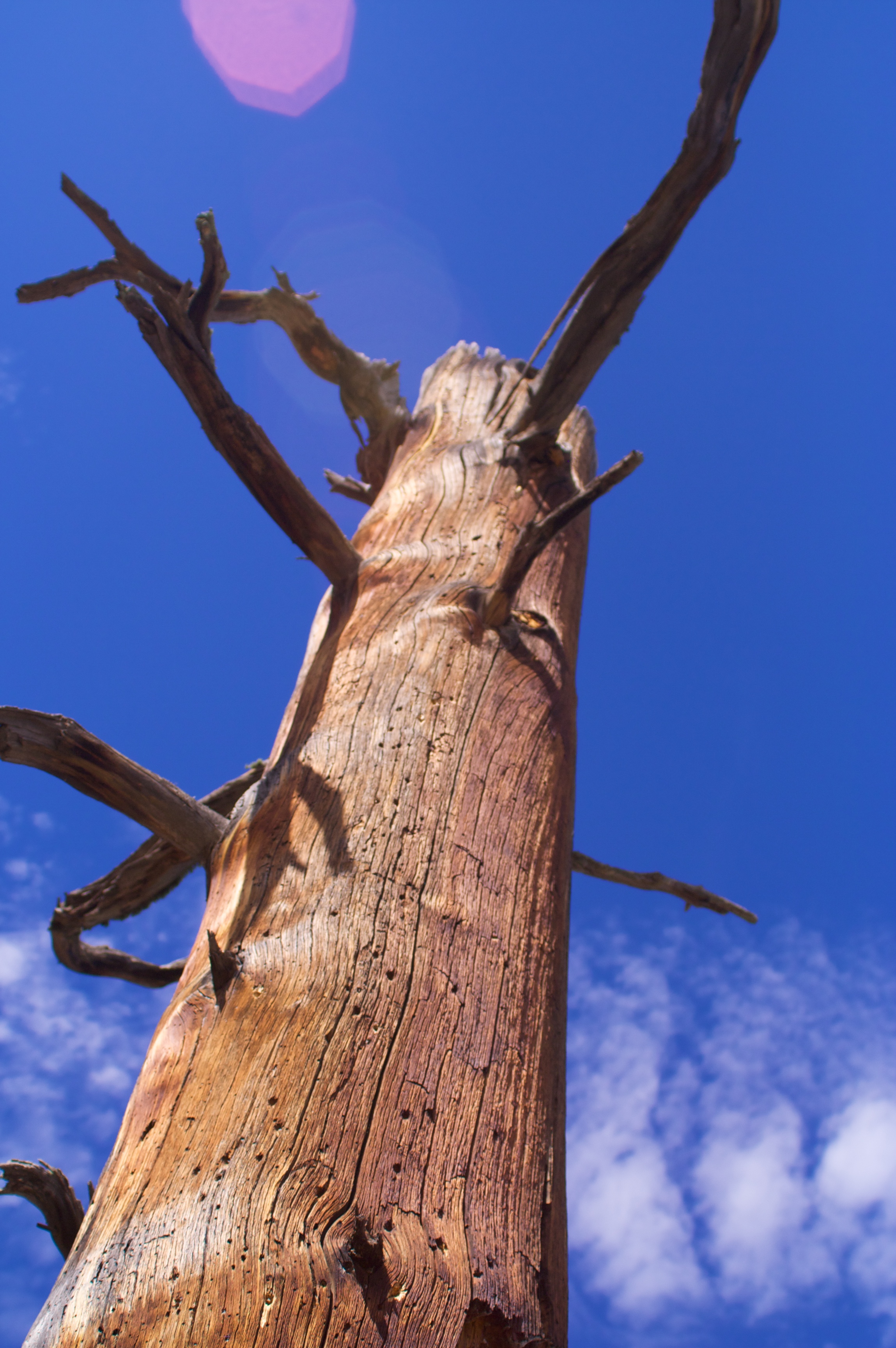
Sky Snag
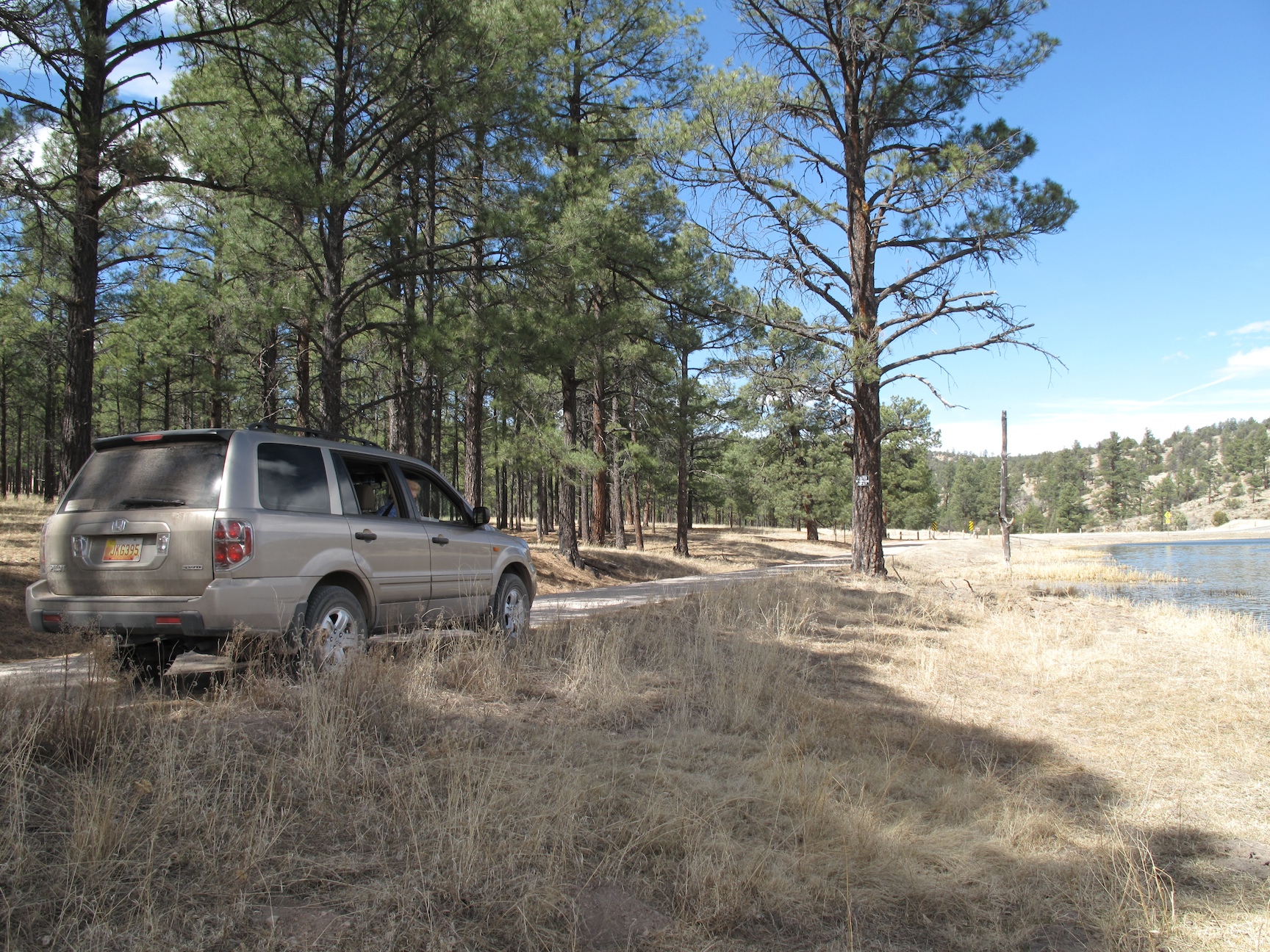
Rest Stop

Wall Lake
Topographic Map of West Beaver Point, New Mexico, USA
Find elevation by address:

Places near West Beaver Point, New Mexico, USA:
East Elk Mountain
Gila Visitor Center
Gila Cliff Dwellings National Monument
W Fork Rd, Mimbres, NM, USA
Gila Hot Springs Ranch
Forks Campground
Upper Black Canyon Campground
Coyote Peak
Pelona Mountain
Rocky Point
Grey Feathers Lodge & Restaurant
Diamond Peak
Lake Roberts
Mesa Campground
13 Mulberry Dr
558 Nm-35
Sapillo Campground
Silver City, NM, USA
Moccasin John Mountain
Mud Spring Mountain
Recent Searches:
- Elevation of Corso Fratelli Cairoli, 35, Macerata MC, Italy
- Elevation of Tallevast Rd, Sarasota, FL, USA
- Elevation of 4th St E, Sonoma, CA, USA
- Elevation of Black Hollow Rd, Pennsdale, PA, USA
- Elevation of Oakland Ave, Williamsport, PA, USA
- Elevation of Pedrógão Grande, Portugal
- Elevation of Klee Dr, Martinsburg, WV, USA
- Elevation of Via Roma, Pieranica CR, Italy
- Elevation of Tavkvetili Mountain, Georgia
- Elevation of Hartfords Bluff Cir, Mt Pleasant, SC, USA